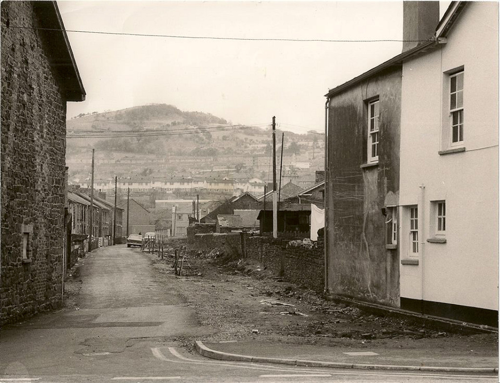
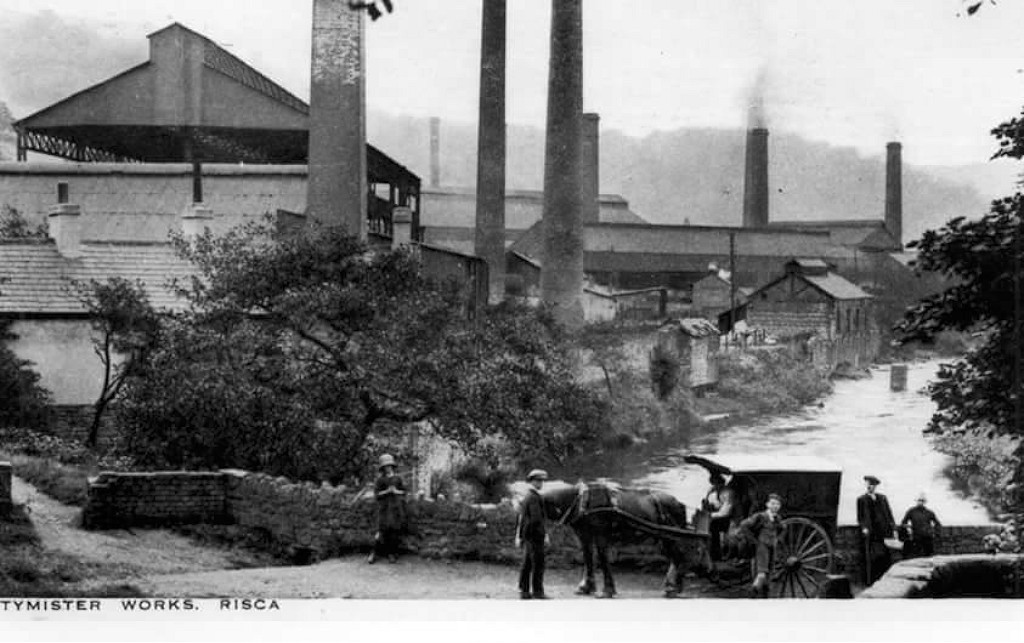
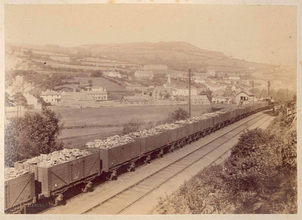
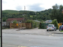
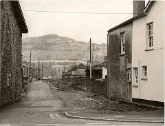
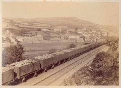
Pontymister
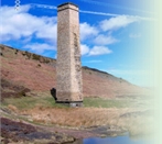
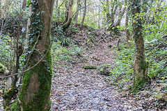
Ty'n-y-cwm Brickworks - ST 2550 8985
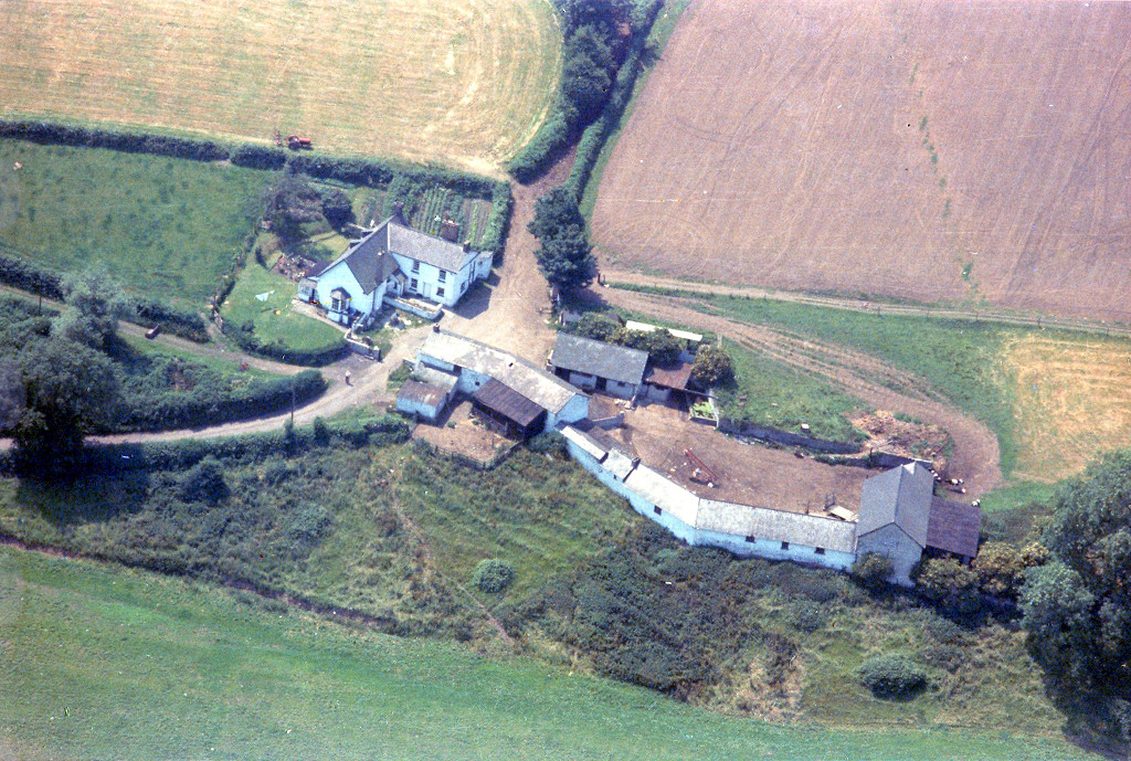
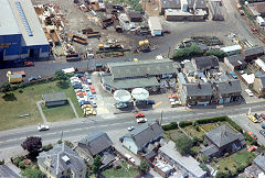
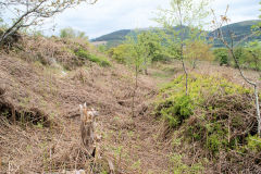
Ty'n-y-cwm brickworks appears on the 1917 OS map but Herbert Avenue and its houses are being built on the site by 1938. It is probably the site known as Rogerstone brickworks. The 'Rogerstone Brick and Stone Co Ltd' had an agreement with the GWR for sidings near Risca Station agreed between July 1906 and Nov 1918 and there was a notable legal case regarding a mortgage in 1919 when the company may have gone bankrupt. Terry Howells sawmills is where the incline ran down from the claypits.
Henry Roberts Houses
|
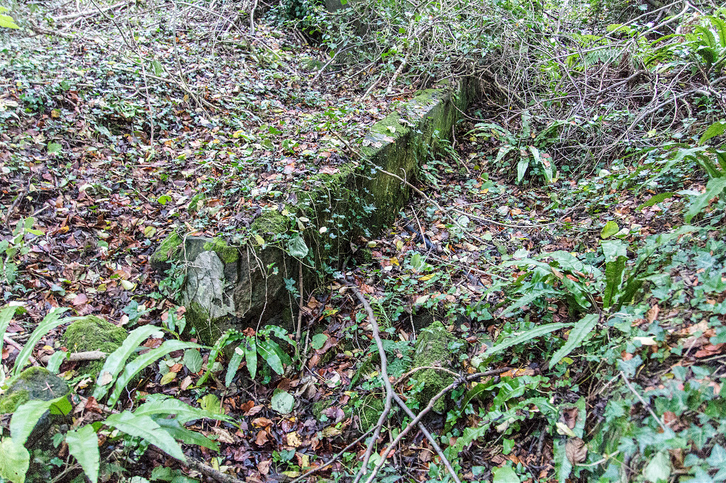
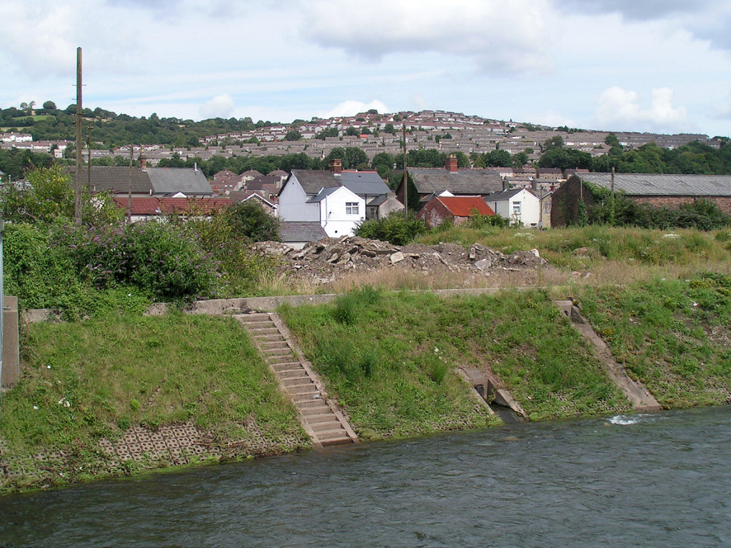
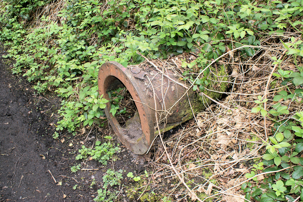
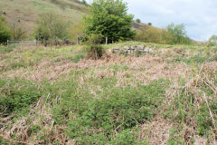
Canal loading bank by the claypits
|
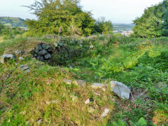
Ty'n-y-cwm Brickworks clay pit
|
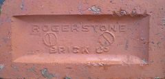
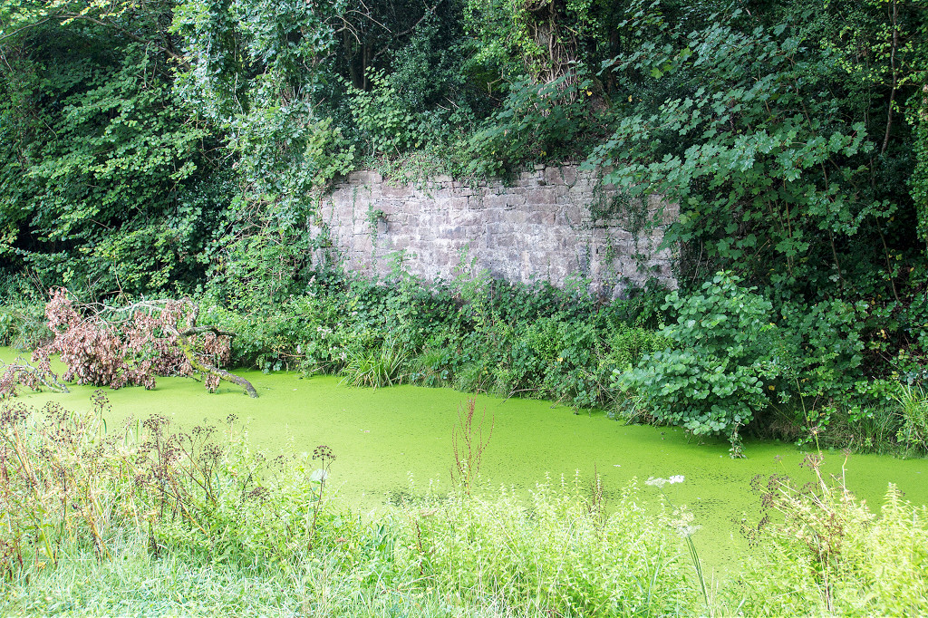
'Rogerstone Brick Co'
|
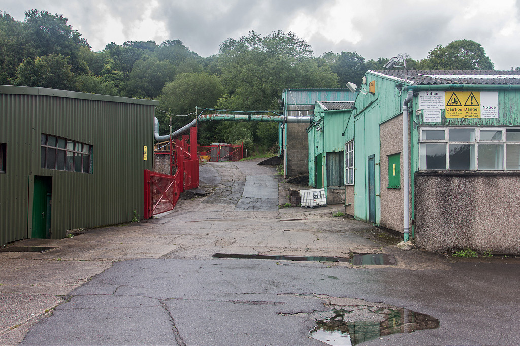
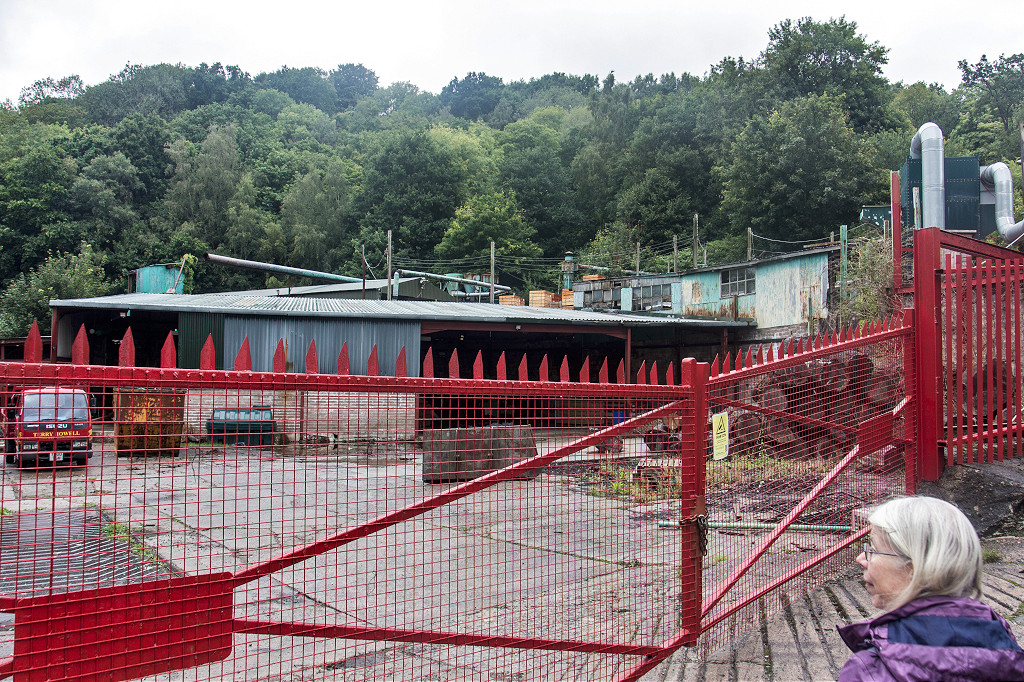
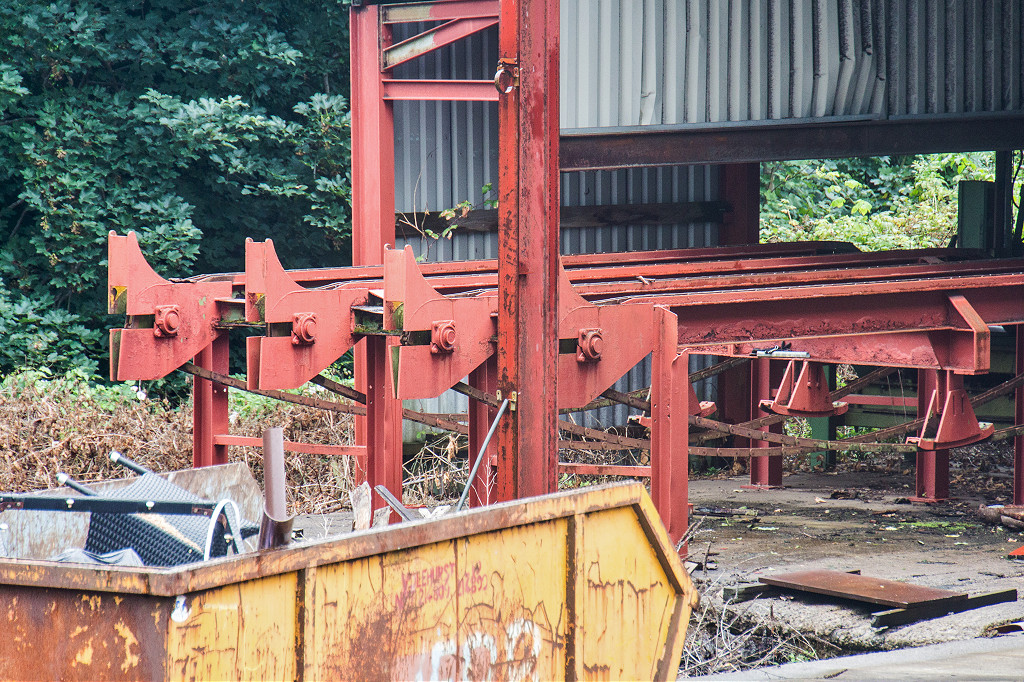
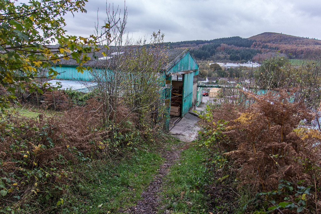
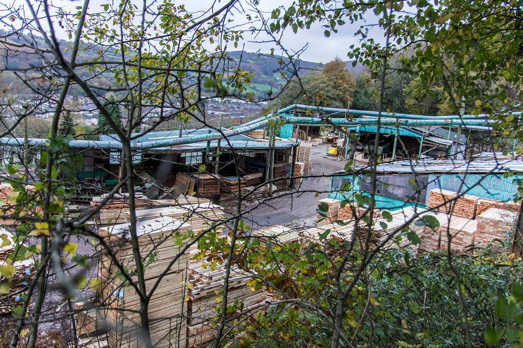
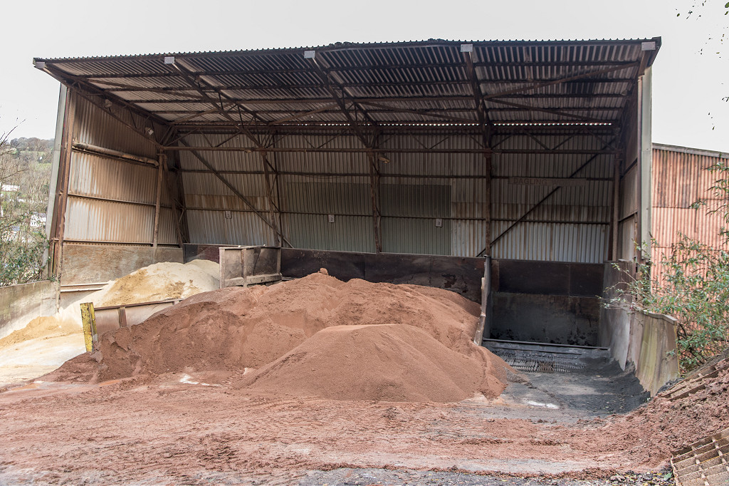
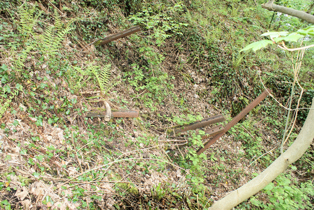
Pontymister sawmills
|
Pontymister sawmills
|
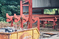
Pontymister sawmills
|
Pontymister sawmills
|

Pontymister sawmills
|
Pontymister sawmills
|
Pontymister sawmills
|
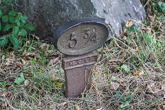
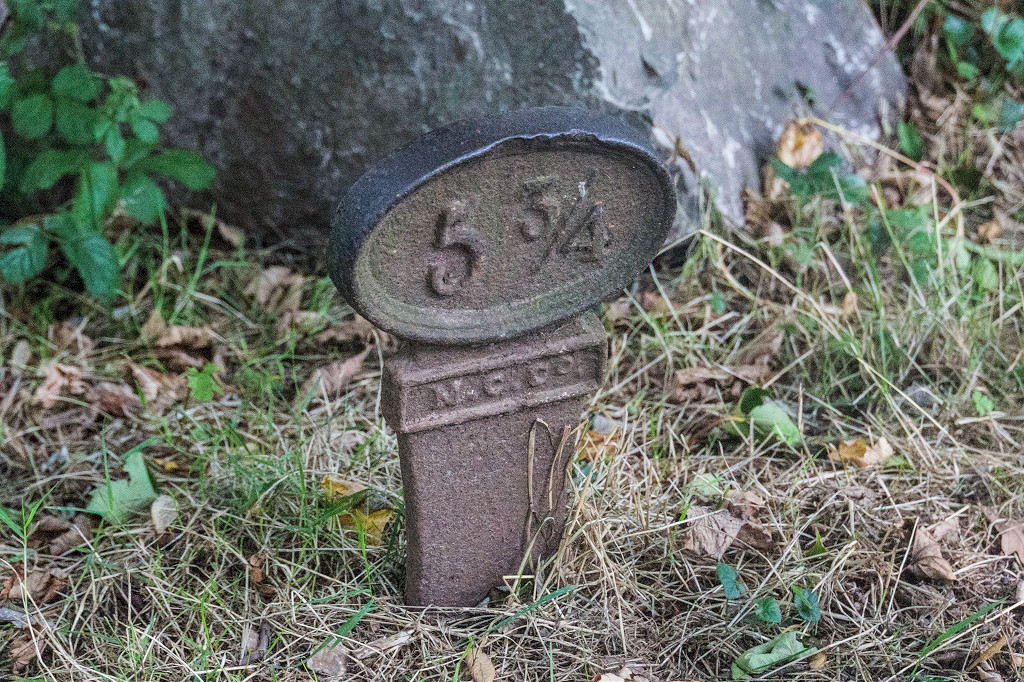
Canal 5¾ milepost
|
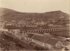
Around Pontymister
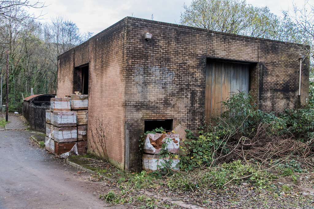
The Britannia Foundry, lying beside the Ebbw Vale line at ST 2440 9030, opened in 1854 under the ownership of Charles Jordan, making iron and brass castings. In 1891 it is listed as Henry White & Co and was in production until quite recently, but is now housing.
An iron-founders blacking factory at ST 2460 9030 producing the lining for the foundry moulds is on the OS map for 1886 but isn't on the 1902 version. Another blacking factory existed by the Britannia Inn, Pontymister. It seems they both became flannel factories - black flannel perhaps?.
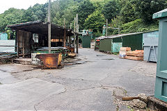
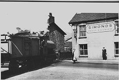
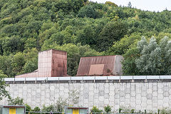
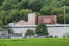
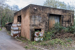
Pontymister gasworks was at ST 2432 8995, had one gasholder according to the OS map for 1886, two by 1902, three by 1922 but back to two by 1953. It was served by sidings off the tinplate works railway. It probably closed in the 1960s with the coming of North Sea gas and is now a car park.
There were two corn mills, Risca Mill near the Britannia Foundry and Maesiter Mill near the Pontymister ironworks.
Britannia foundry
|
Blacking factory, later a flannel mill
|
Pontymister gasworks, 1976
|
Pontymister petrol station, 1976
|
Pontymister Farm, 1976
|
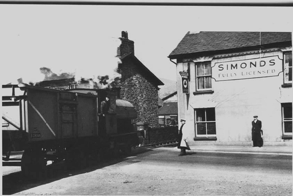
The tramroad at the 'Welsh Oak'
|
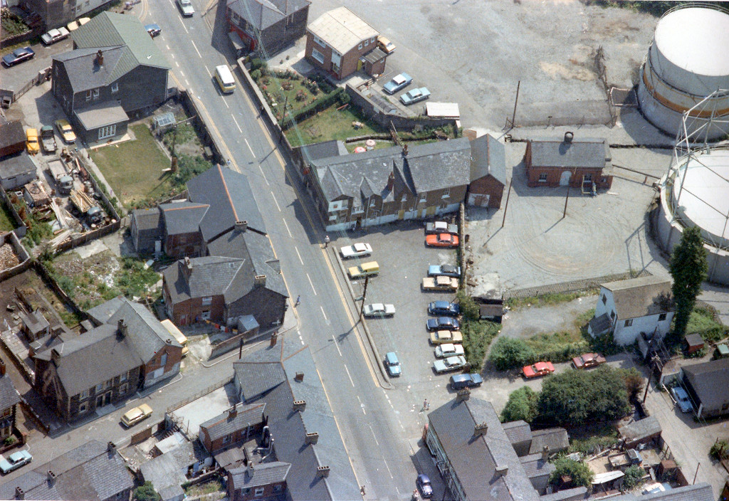
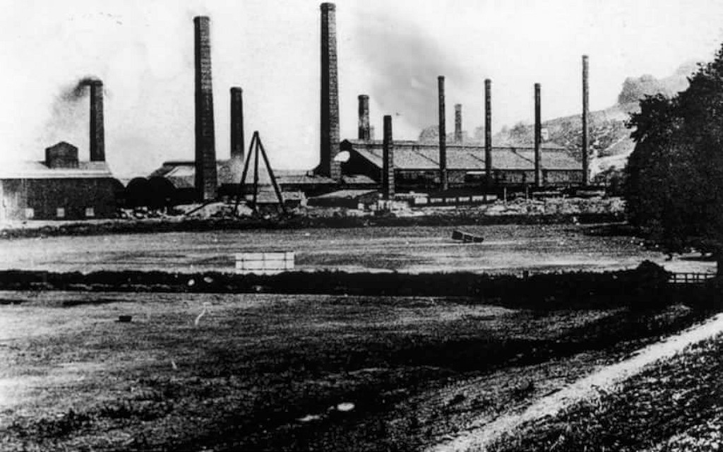
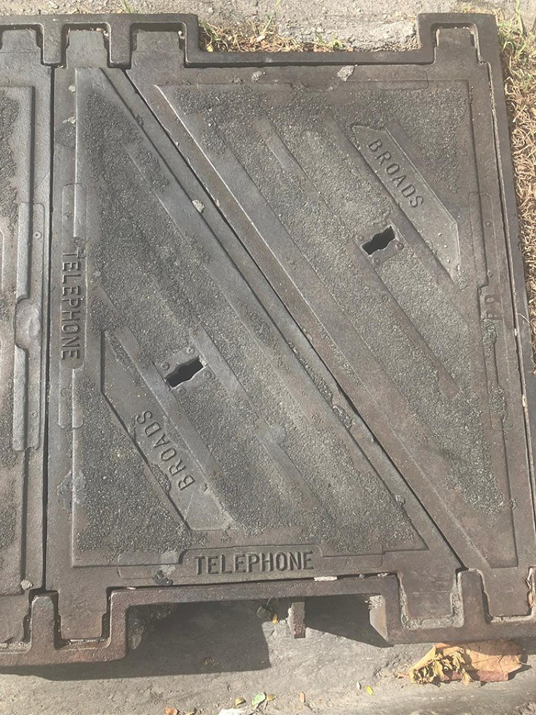
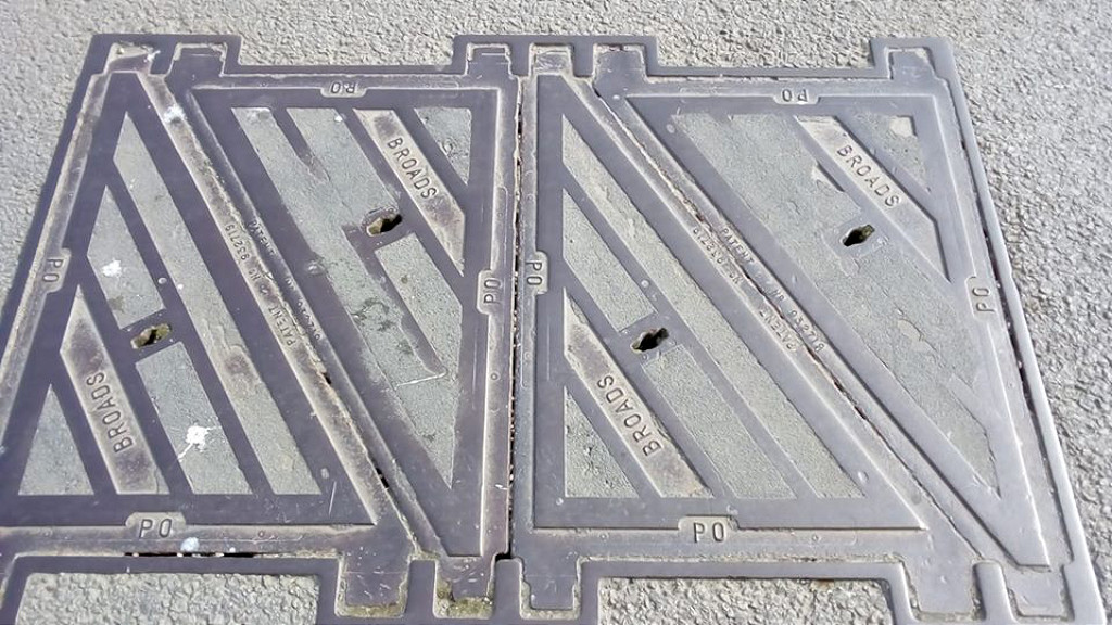
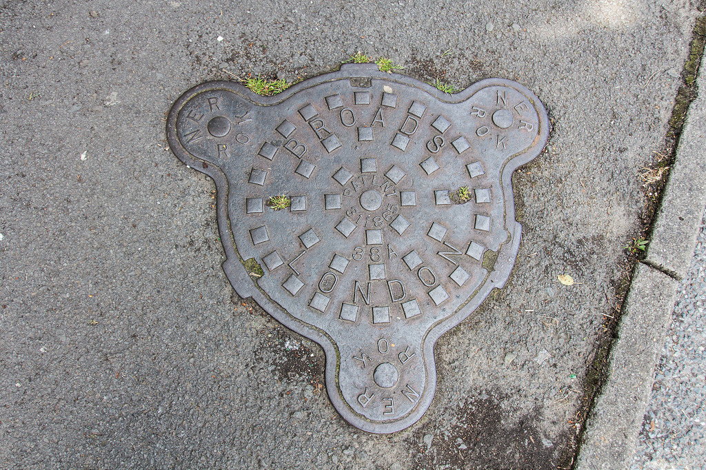
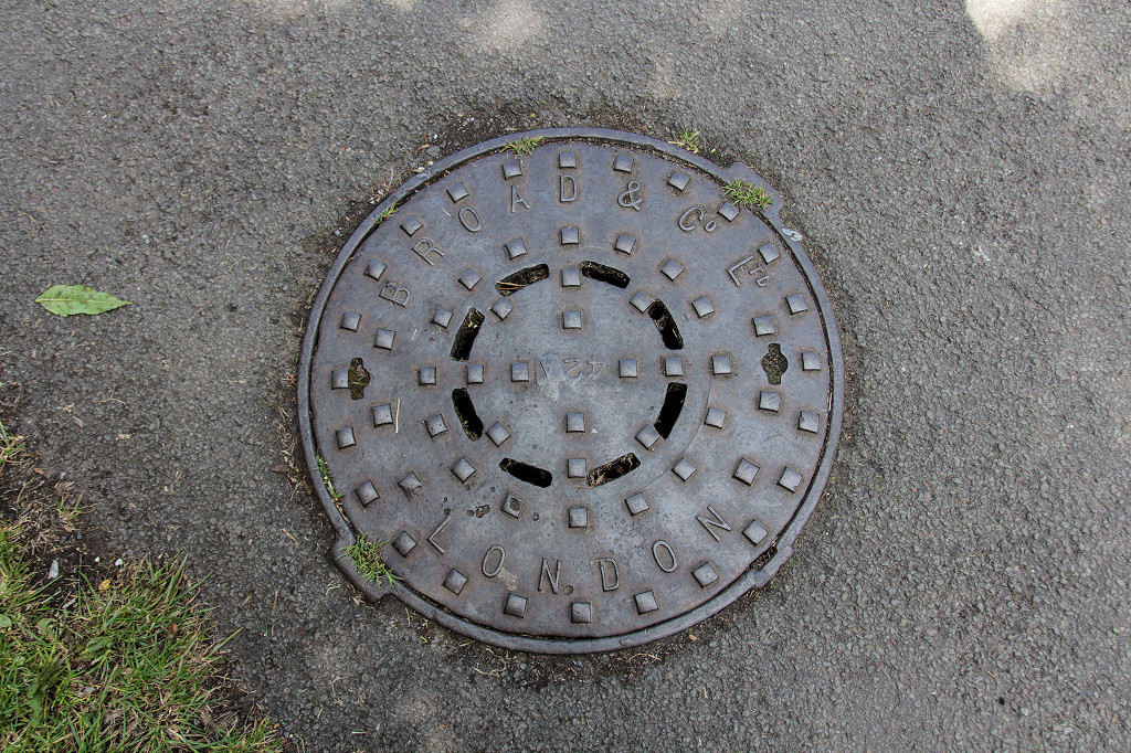
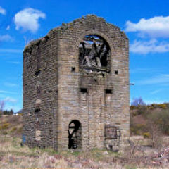
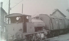
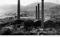
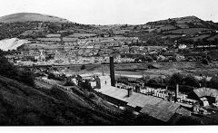
Pontymister Iron and Tinplate Works - ST 2430 8970
The Pontymister ironworks were established in 1801, being connected to the canal and Sirhowy Tramroad by a branch tramroad across the River Ebbw. Unfortunately the works appear to have seriously unsuccessful, going from bankrupcy to bankrupcy. It became much more successful as a tinplate works from 1845 and the tramway became a railway in 1850 with the mainline. Another bankrupcy hit the works in 1896 after an acrimonious strike, a merger with the adjacent Pontymister foundry and more changes to ownership followed. The building of the Llanwern steelworks ended steel production in 1962.
Birds Commercial Motors demolished the works in 1962 then carried on using the site as a scrapyard, scrapping over 200 steam locomotives, until 1969 after which they used part of the area as a plant depot.
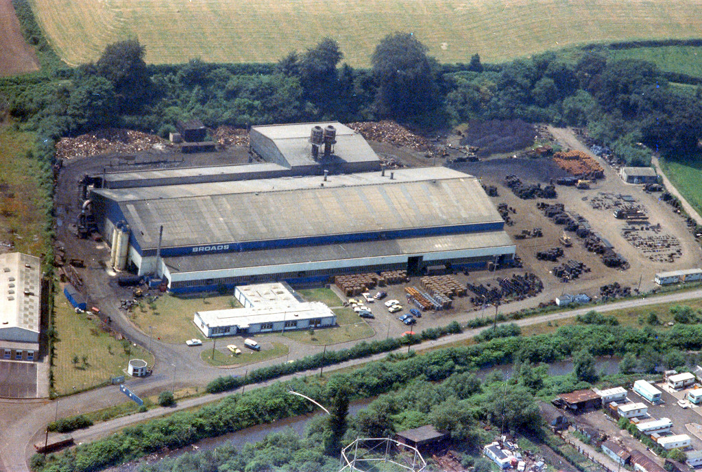
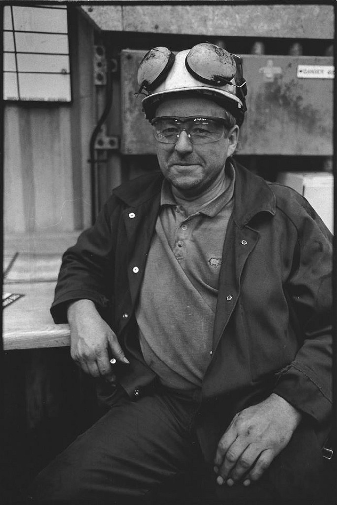
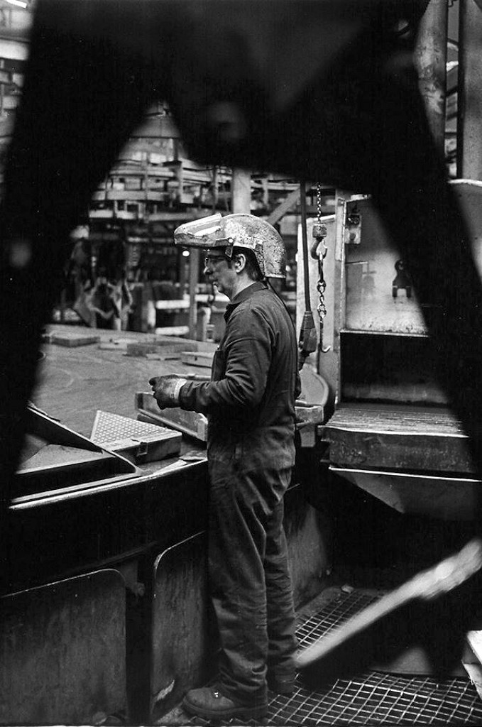
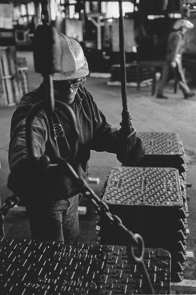
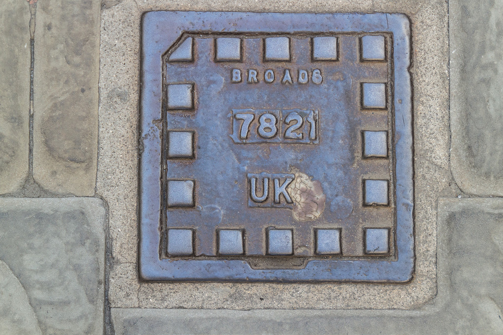
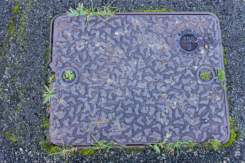
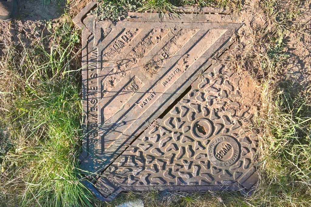
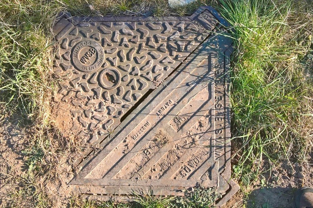
Broads of London had a foundry at Hanwell, West London, valuable housing land, so they replaced Birds in Pontymister, opening in 1970. Heavy industry in Pontymister ended when Broads Foundry closed in 2004.
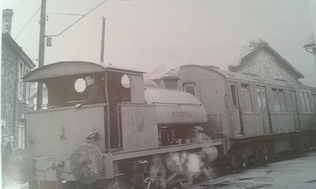
From the Commercial Street level crossing, the railway went through the right-hand gate past the gasworks to the ironworks and the site is currently occupied by a number of small industrial units and derelict land, now a Tesco supermarket. In the other direction, the line crossed the main road to pass the Rolling Mill pub and up Maryland Road to the Ebbw Vale line.

The site of the bank up to the GWR
|
The line to the GWR ran on the left
|
Commercial Street level crossing
|
From the Steelworks to level crossing
|
Site of tinplate works sidings
|
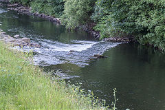
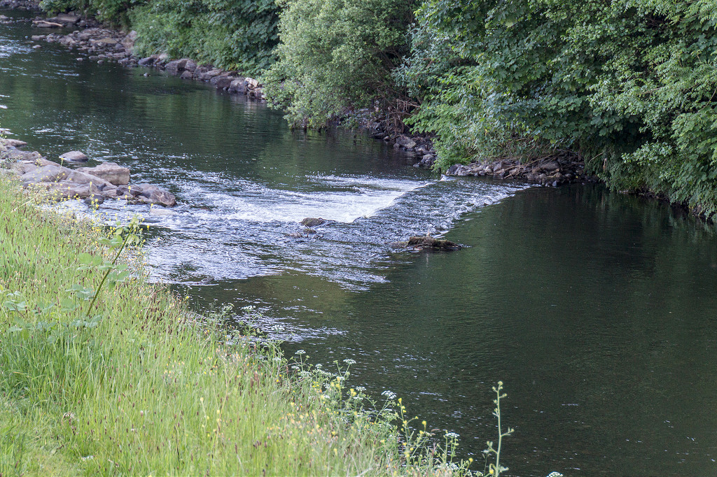
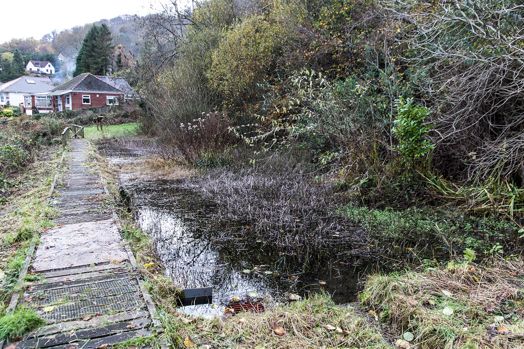
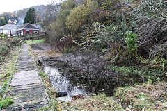
The tinplate works weir
|
Commercial Street level crossing
|
Commercial Street level crossing
|
Commercial Street level crossing
|
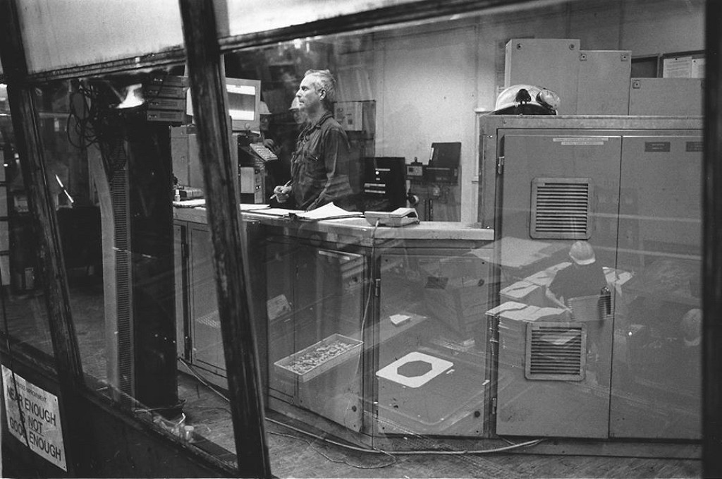
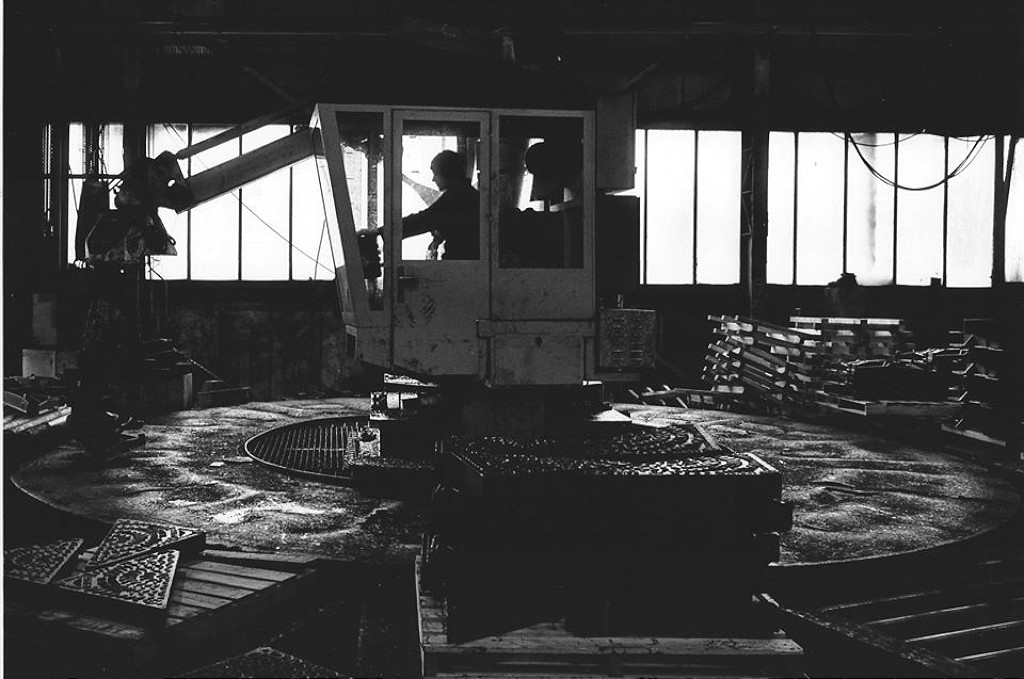
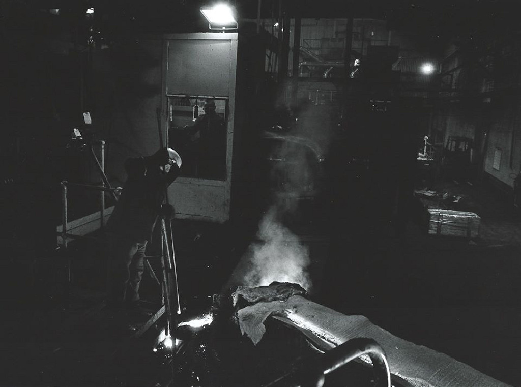
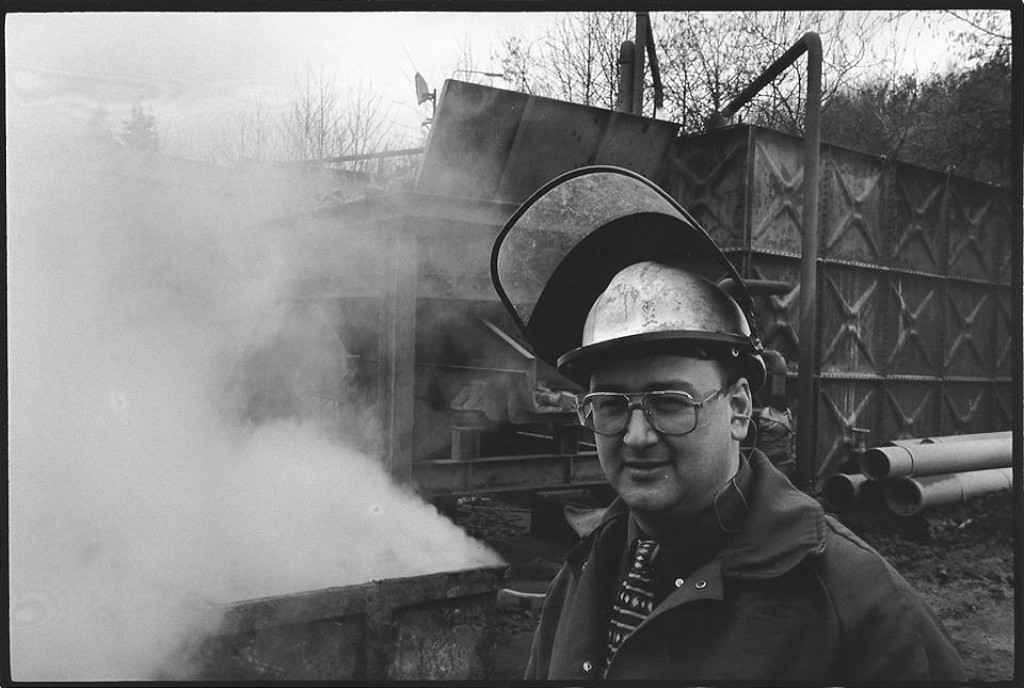
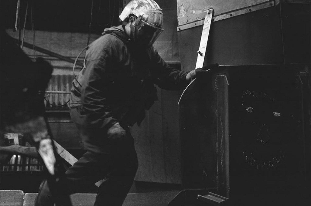
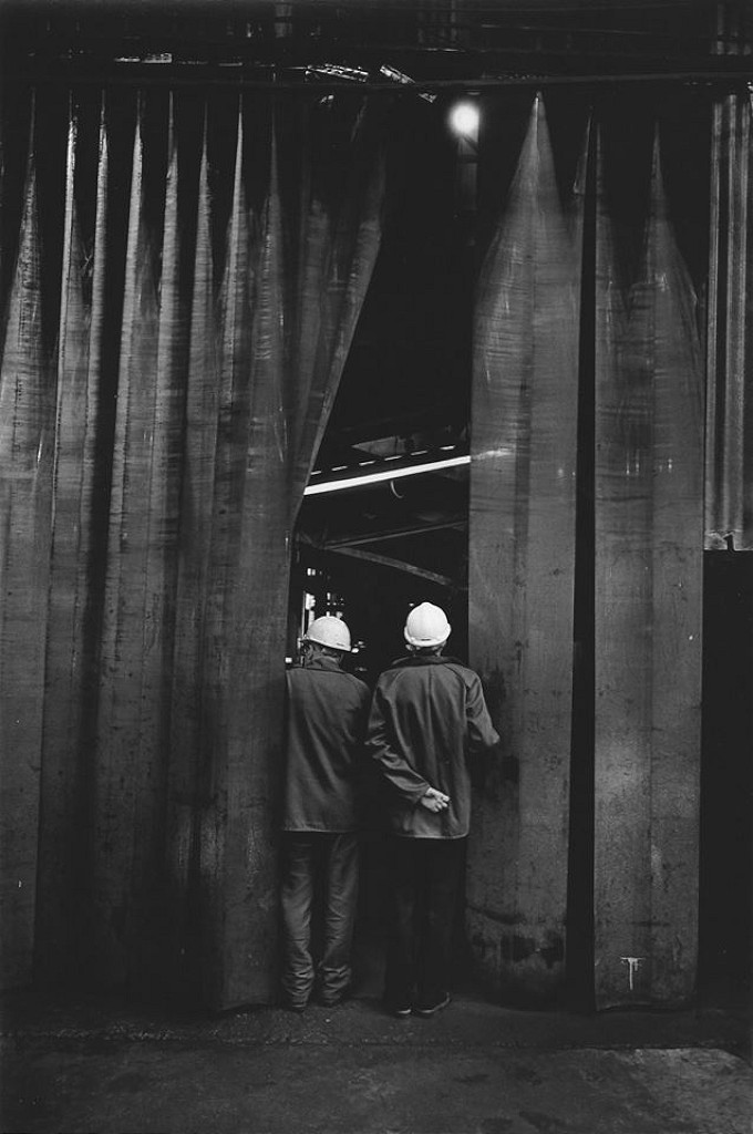
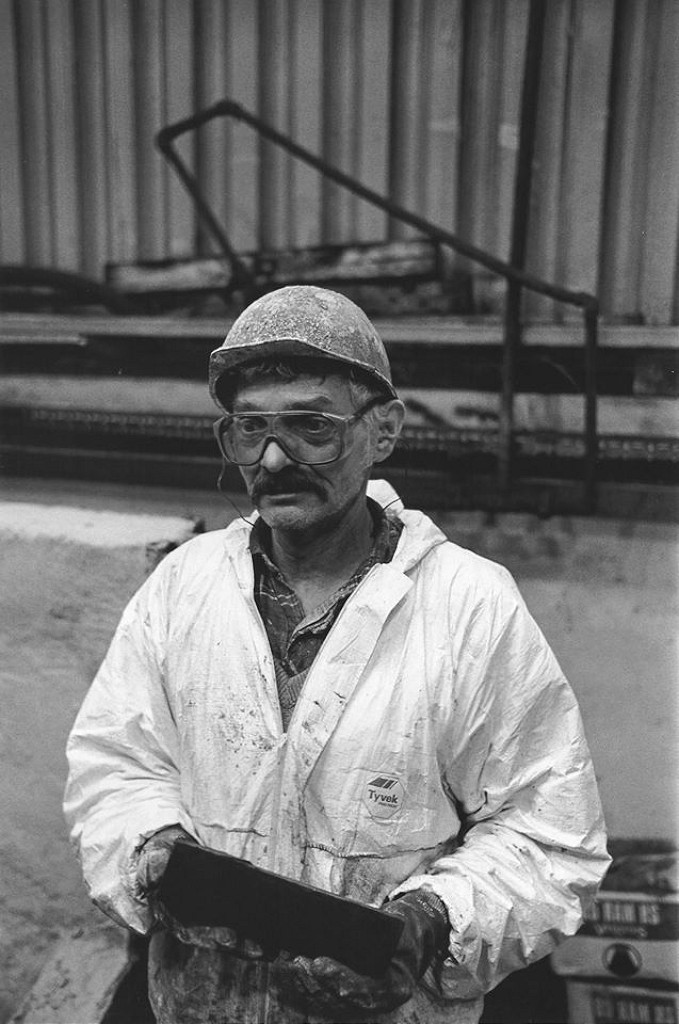
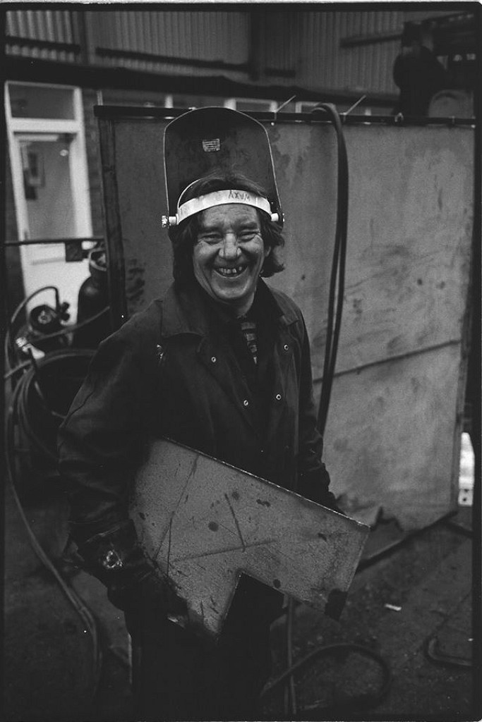
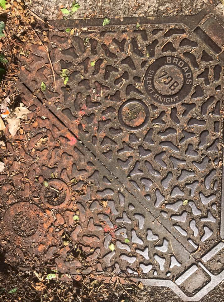
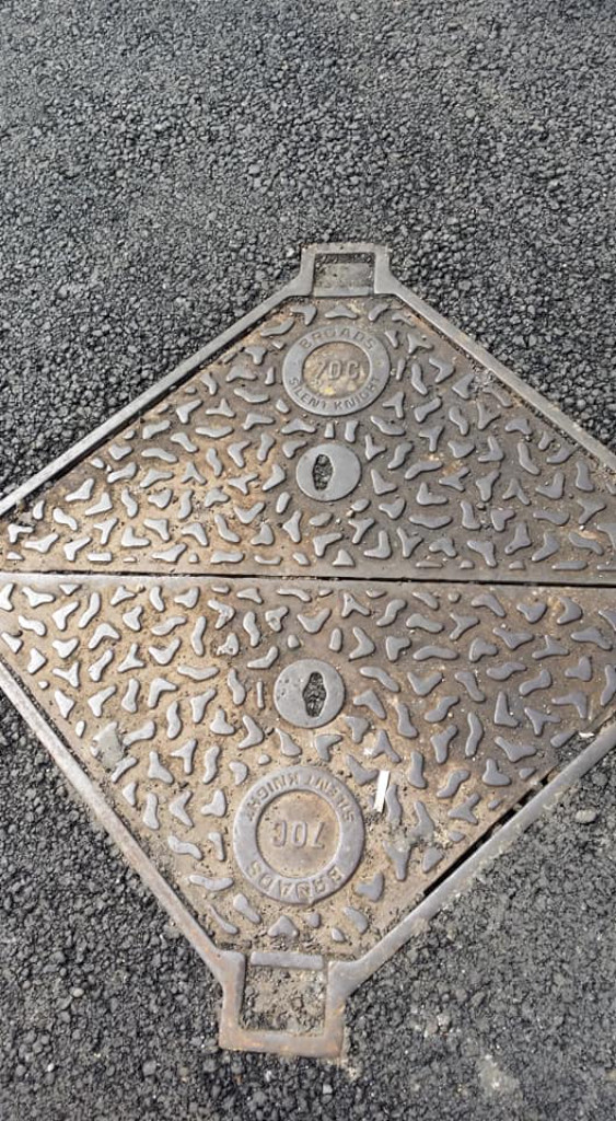
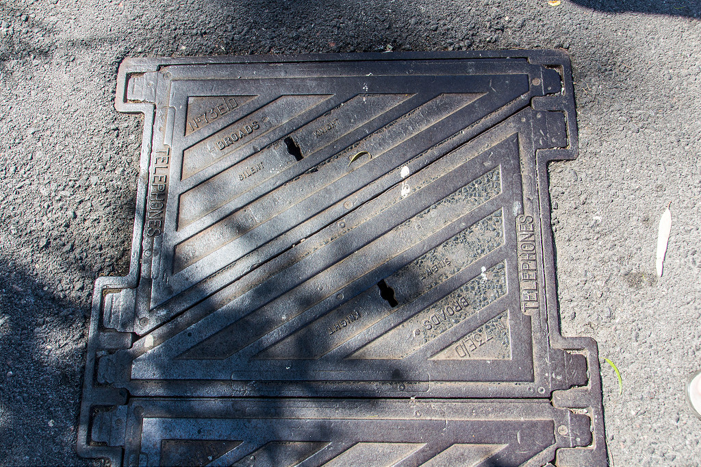
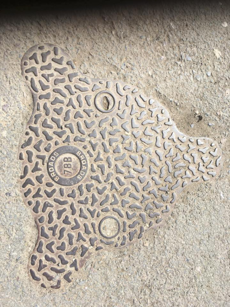
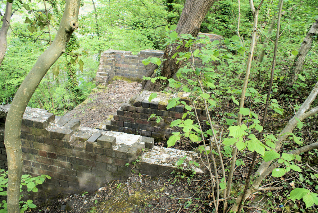
Pontymister Ironworks

Pontymister ironworks
|
Pontymister ironworks
|
Pontymister ironworks
|
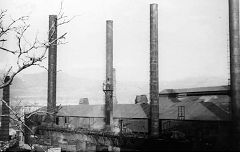
Pontymister ironworks
|
Ochrwyth
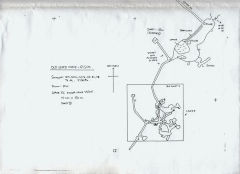
Ochrwyth leadmine - ST 2355 8955
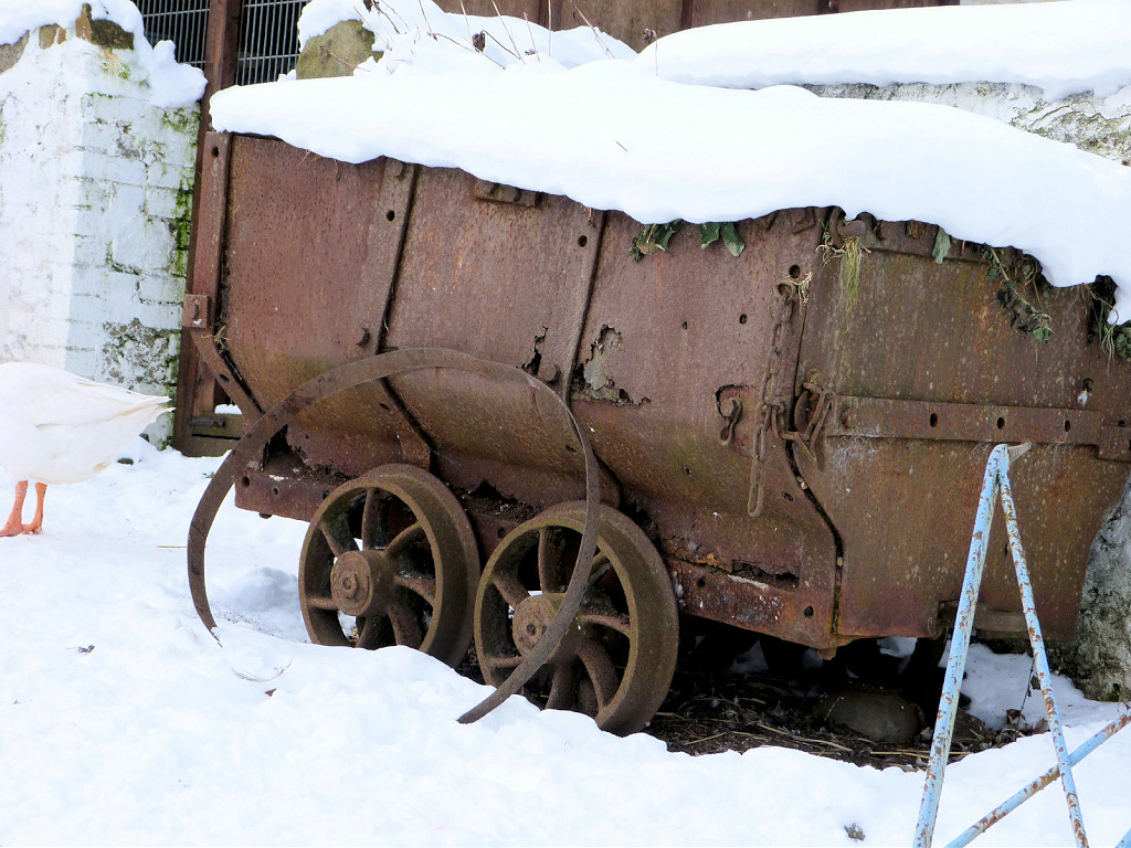
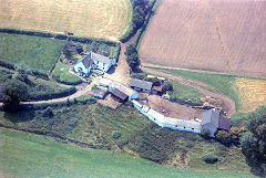
I'm not certain about the exact location of Ochrwyth leadmine which may date back to Roman times as it worked the same seams as those in the Machen area. There have been proposals to re-open it as a tourist attraction. In 2007 there were old coal drams in the yard of Castle Farm just below it (still there in 2015).

Castle Farm, drams in yard
|
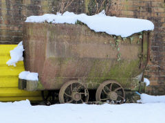
Castle Farm, drams in yard
|

Castle Farm, drams in yard
|
|
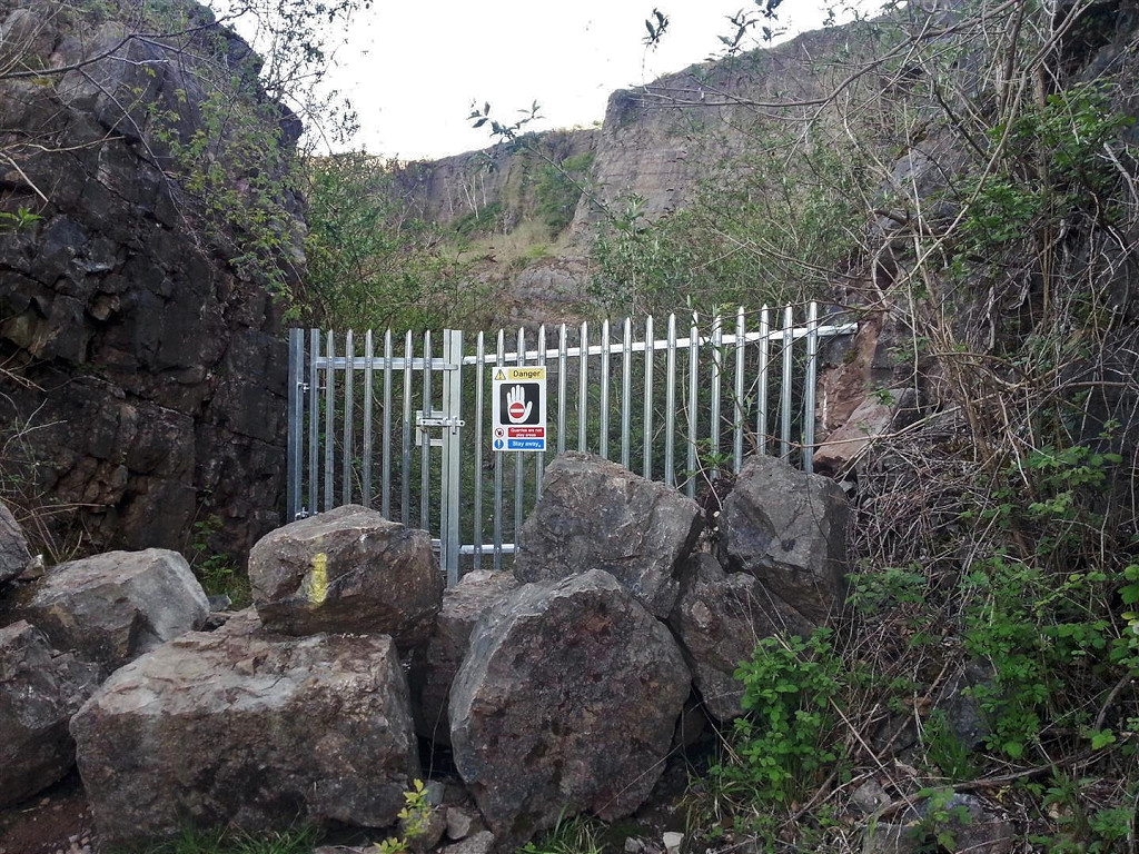
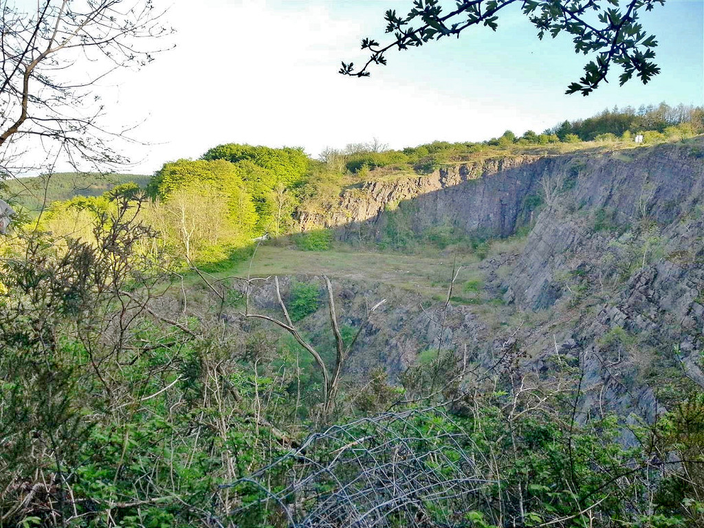
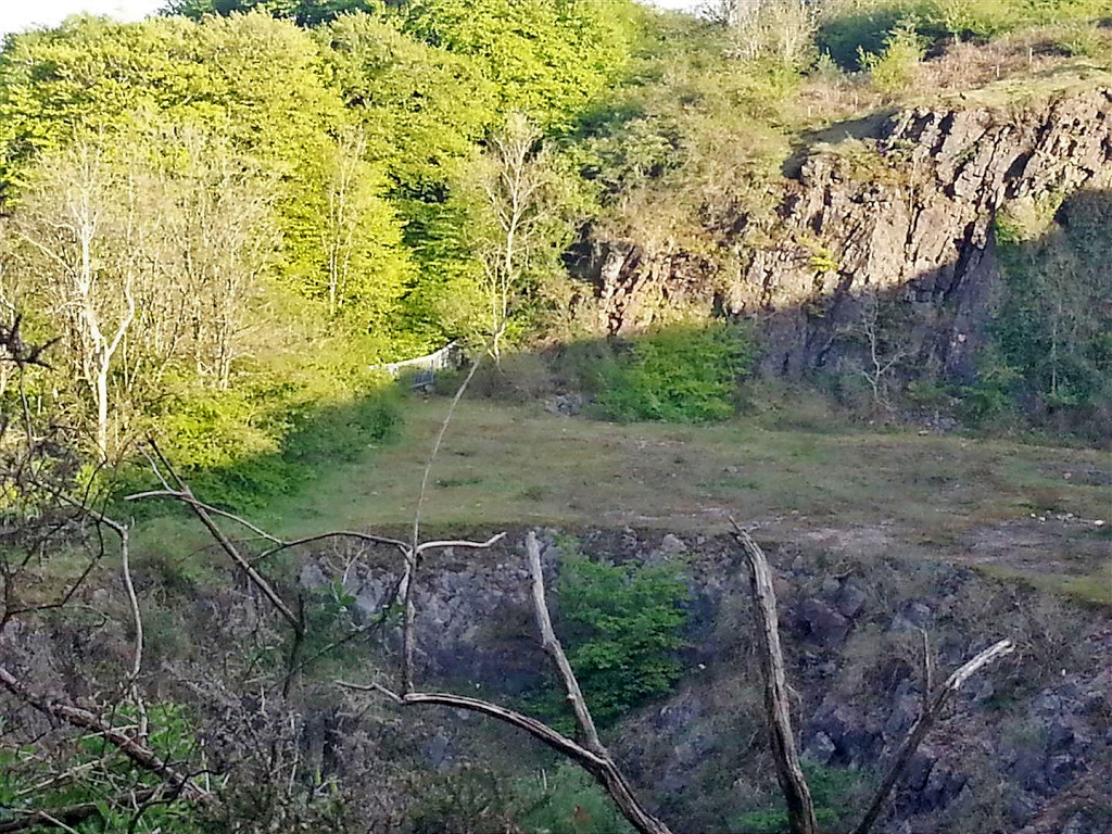
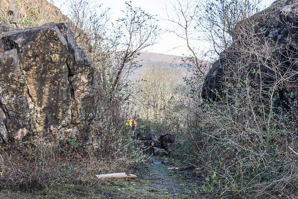
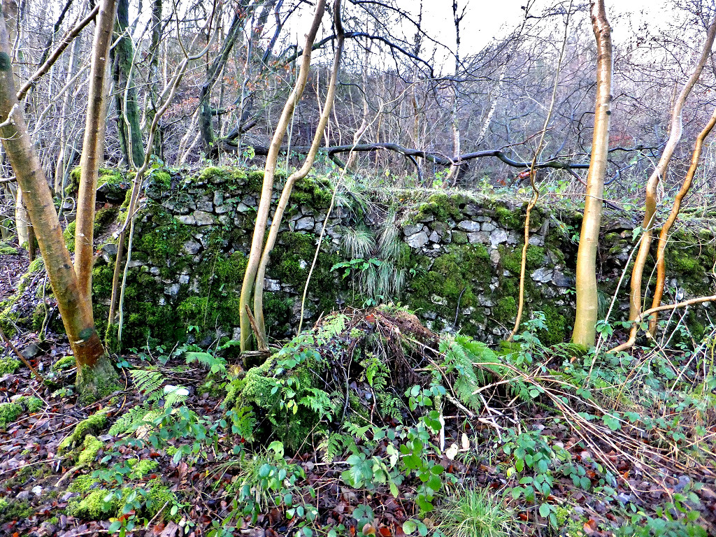
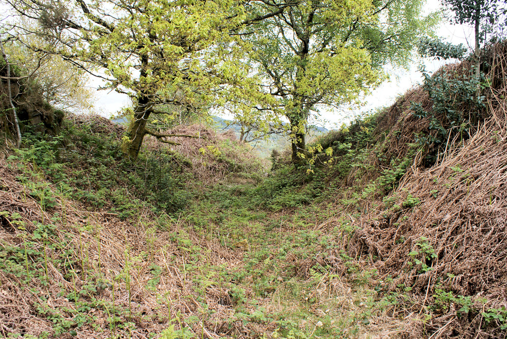
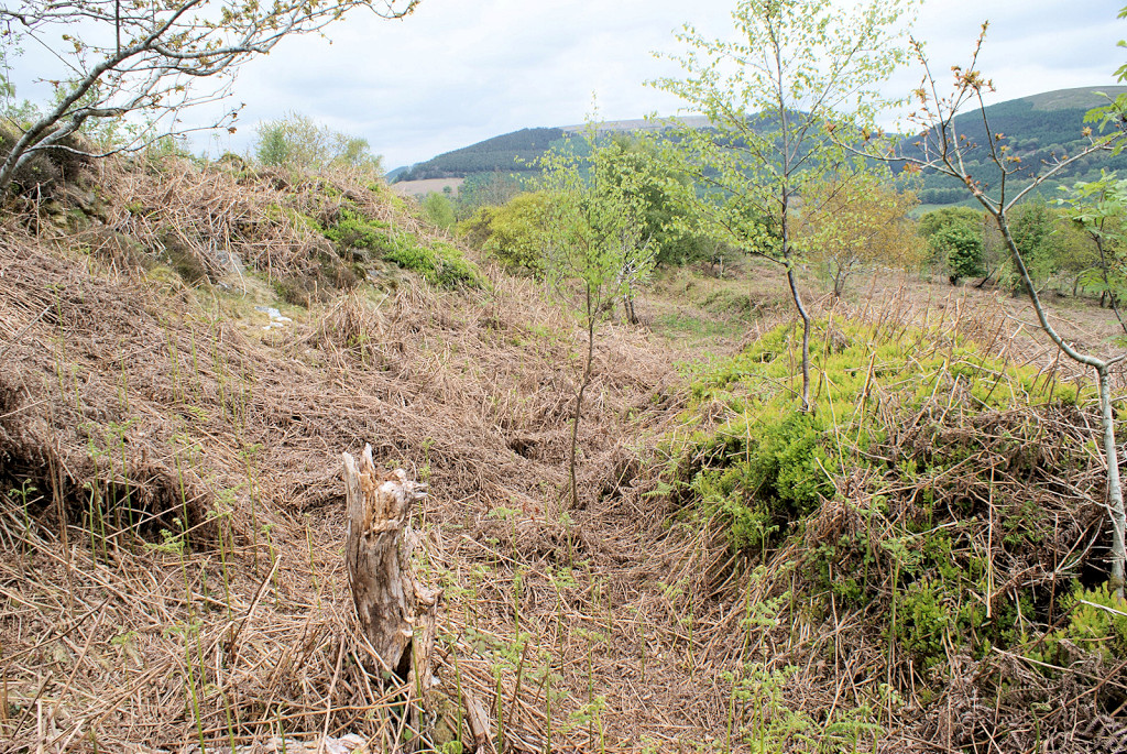
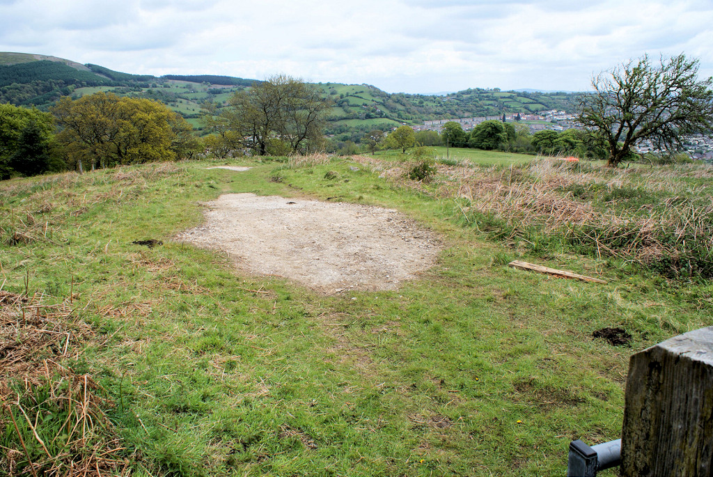
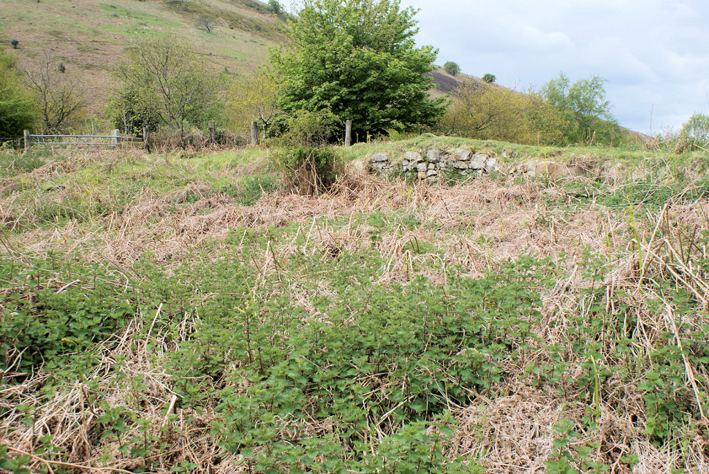
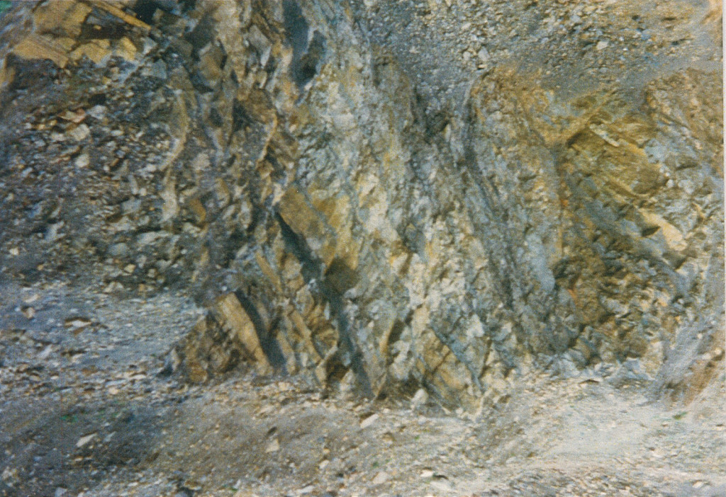
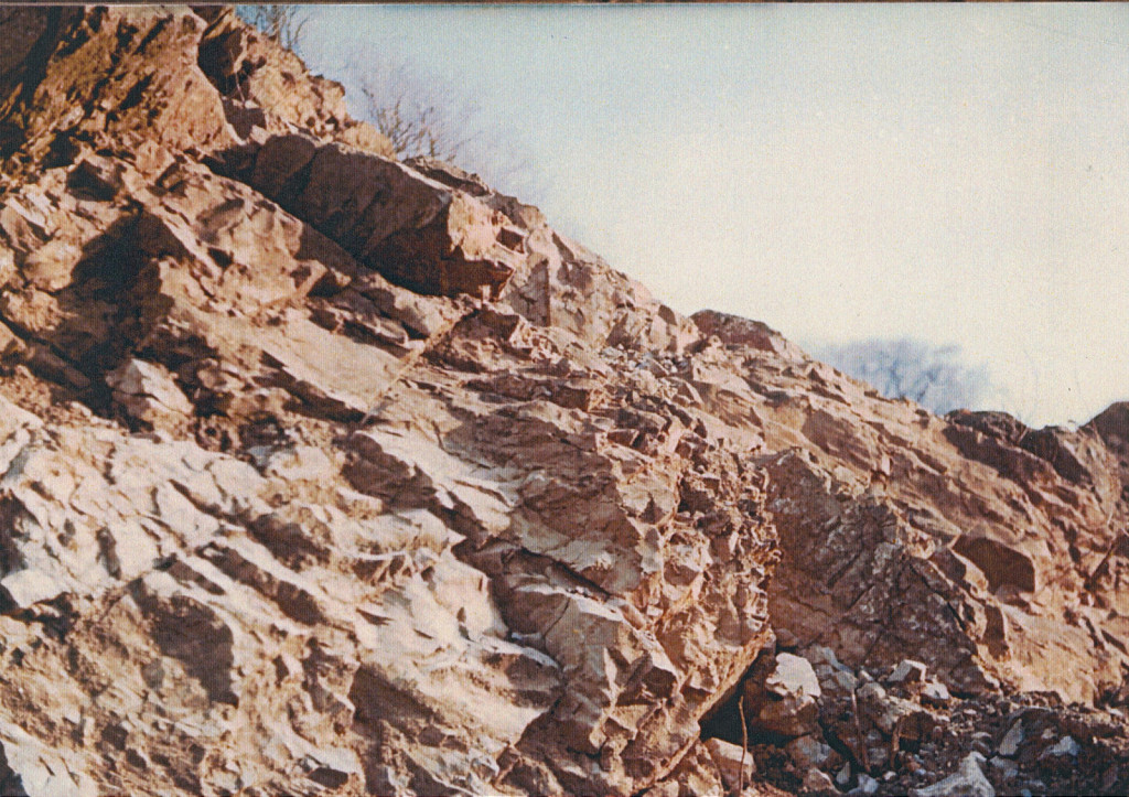
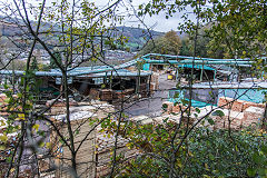
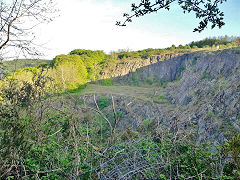
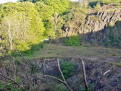
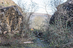
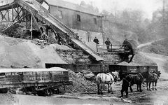
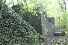
Ochrwyth Quarry - ST 2334 8980
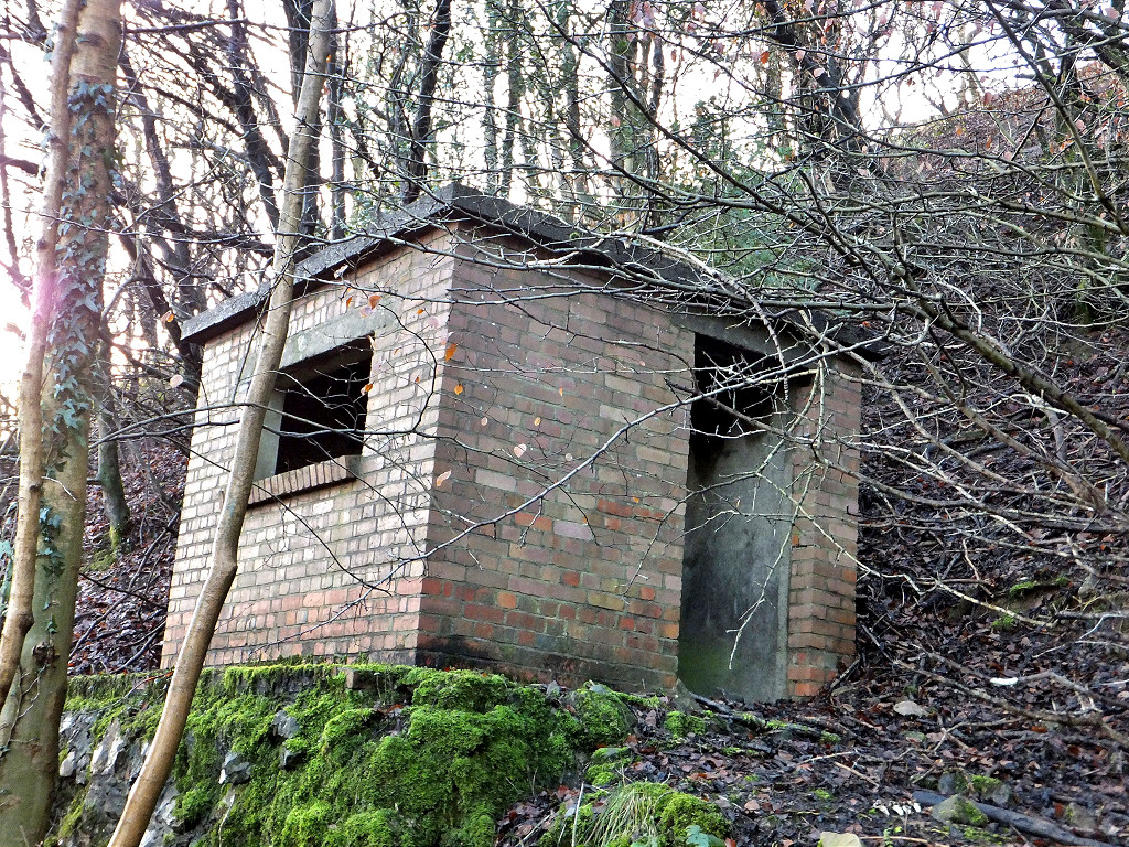
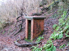
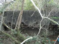
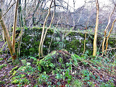
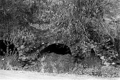
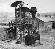
Ochrwyth limestone quarry worked from 1954 but was classed as dormant in 2003. Later it was described as disused and 'no workings have taken place for some considerable time'. There are quite extensive remains of the concrete tipping docks are on the opposite side of the access lane, but very overgrown, and what appears to be two 'sentry boxes' at either end of the lane, the one close to the entrance is complete, the other at the top has collapsed. There's a small brick building between them, possibly the magazine? Ochrwyth quarry is sometimes referred to as 'Pontymister' or 'Ochr Chwith' quarry. Sadly the quarry was fenced off in 2021.
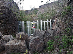
Ochrwyth Quarry in 2021
|
Ochrwyth Quarry in 2021
|
Ochrwyth Quarry in 2021
|
|
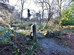
Ochrwyth Quarry exit
|
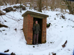
The lower 'sentry box'
|
The lower 'sentry box'
|
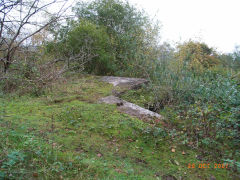
Loading bank
|
Loading bank
|
Stone embankment at loading bins
|
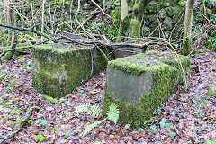
Concrete blocks at loading bins
|
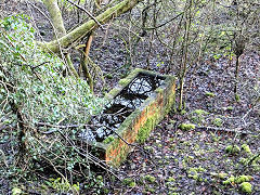
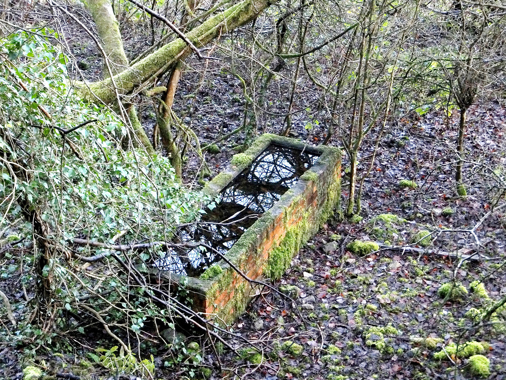
Brick trough at loading bins
|

Quarry building, the magazine?
|
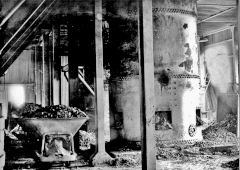
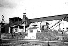
Ochrwyth Quarry at work, 1960s
|
|
|
Penrhiw Gwiail cottage - ST 2436 8858
Penrhiw Gwiail cottage, generally known as Polly Morgan's Cottage is a now ruined cottage which is shown on the 1883 OS map.

Penrhiw Gwiail cottage
|
Penrhiw Gwiail cottage
|
|
Danygraig Brickworks and beyond
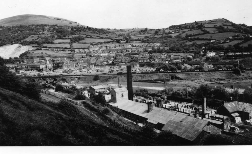
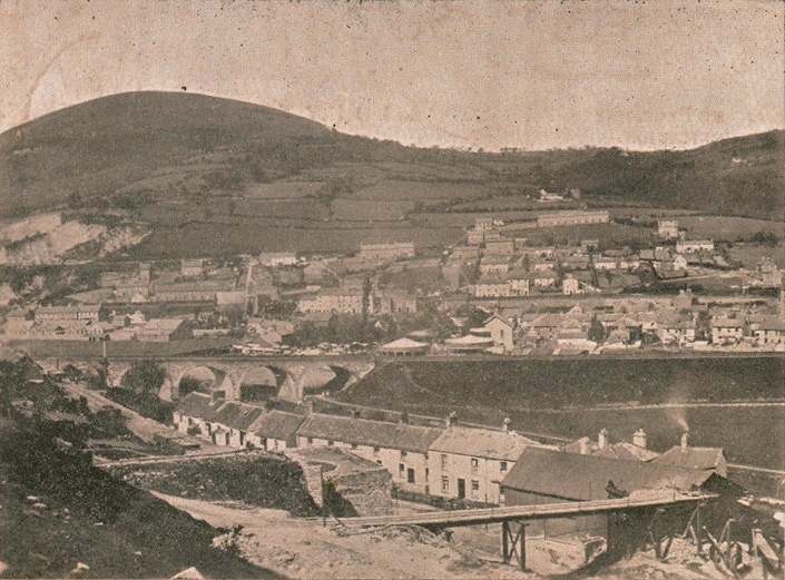
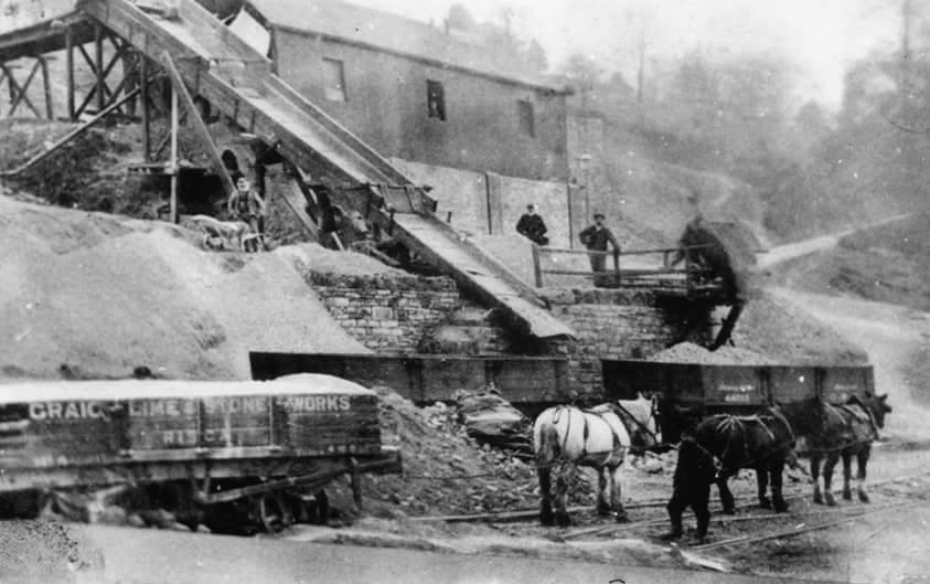
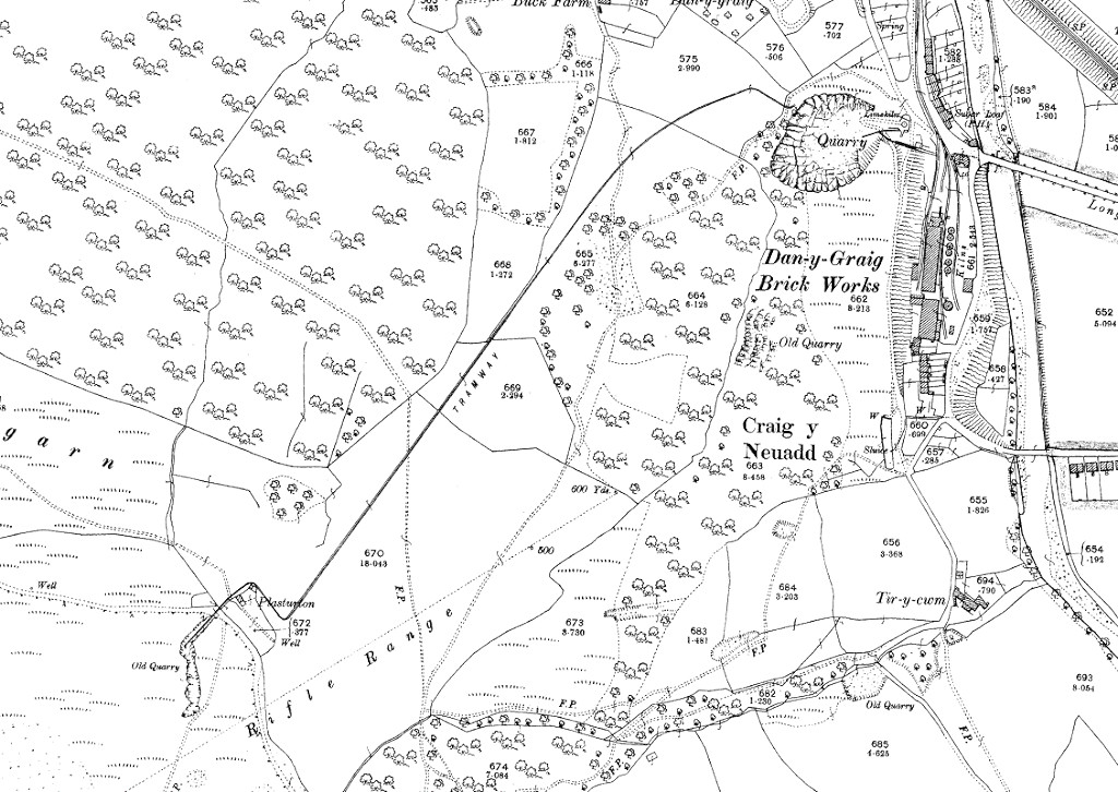
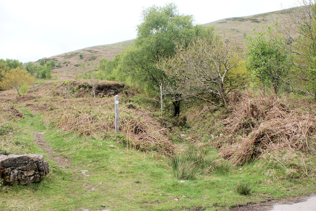
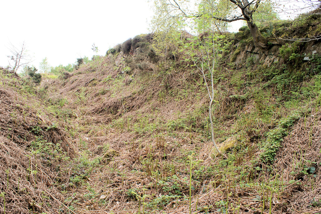
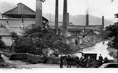
Danygraig Brickworks, Graig Quarry and the 'Long Bridge' - ST 2355 9075
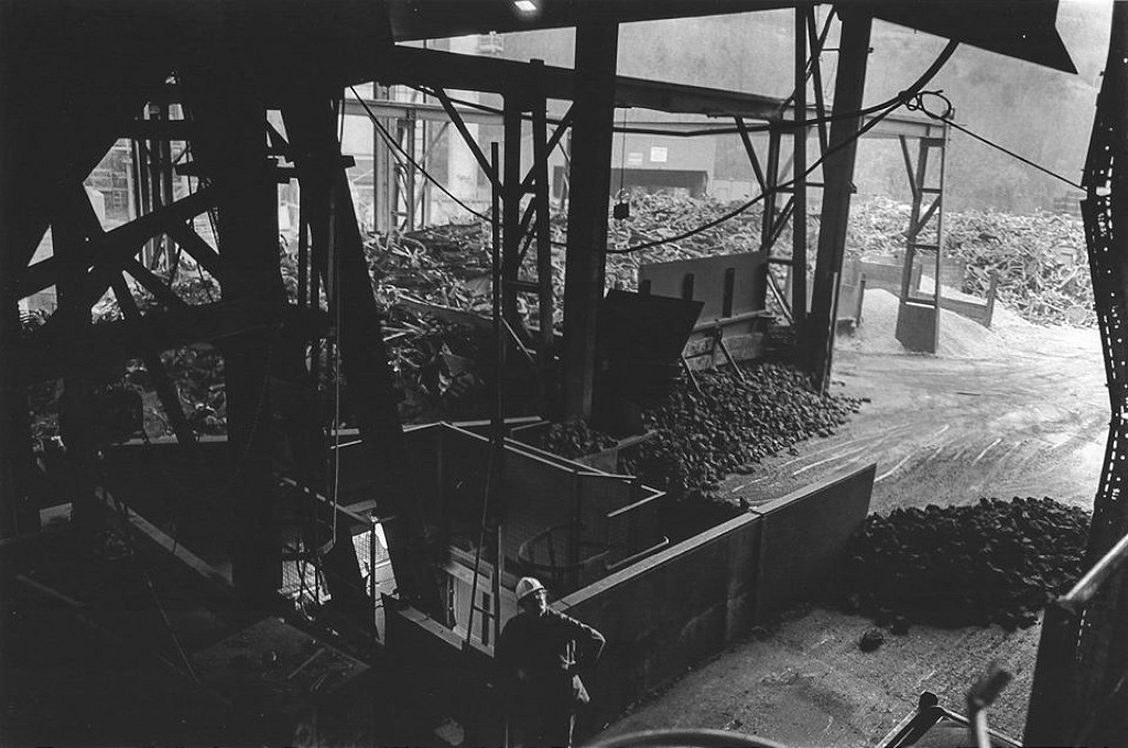
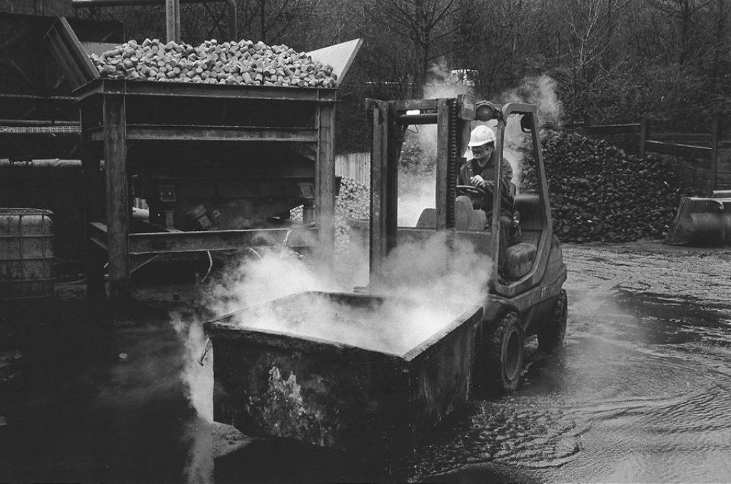
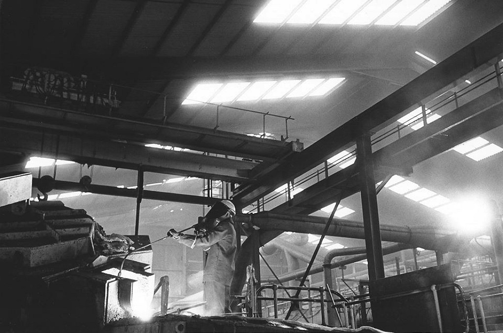
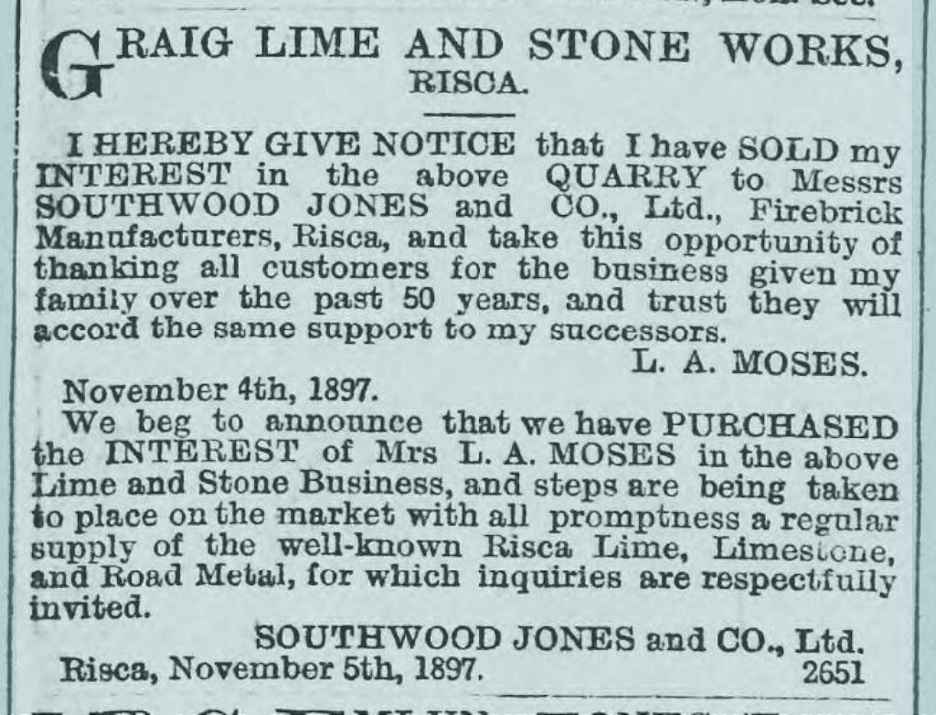
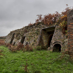
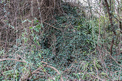
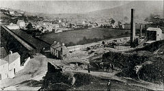
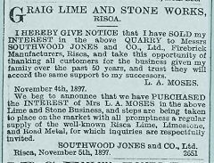
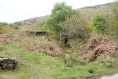
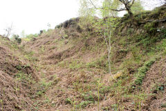
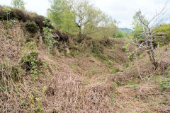
The Union Copper Co opened the Danygraig copper works in 1807 on the site of Roman lead mines, becoming a chemical works run by David Morris & Son in 1816. Morris also owned the chemical works at Abercarn and Ynysddu but went bankrupt in 1884. A further change of use to Edwin Southwood Jones' brickworks occurred in 1895 who also owned Graigddu brickworks near Pontnewynydd. Danygraig brickworks is still in operation in 2019 making pre-cast concrete products but ear-marked for housing. There is a very derelict double limekiln deep in the undergrowth at the North end of the site. The quarry above the brickworks was originally owned by Mrs L A Moses and family, as the 'Graig Lime & Stone Works', being sold in 1897 to Southwood Jones & Co Ltd.
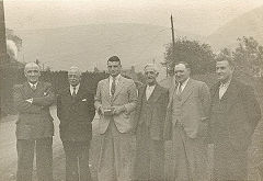
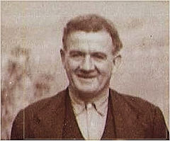
Stewart Campbell lived in the cottages in the 1950s, where this photo from c1895 was framed over the mantelpiece. The door and window in the end elevation were used as the weighbridge office where a tank loco passed regularly with the pick-up goods train. Sam Munn, who lived at Buck farm, adds "My Dad used drive the tractor to pull the Danygraig Brickwork trucks out from the yard to to railway sidings for collection. I spent many a Saturday morning in the weighbridge house and I knew Mrs Campbell next door (called Campbell's corner) ".
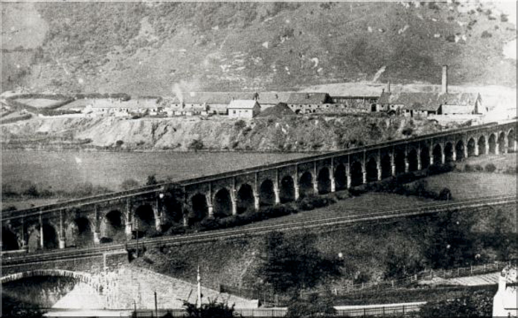
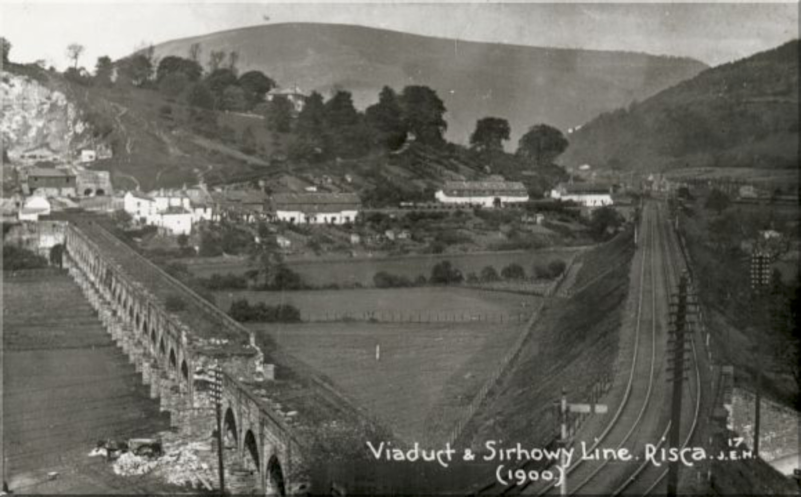
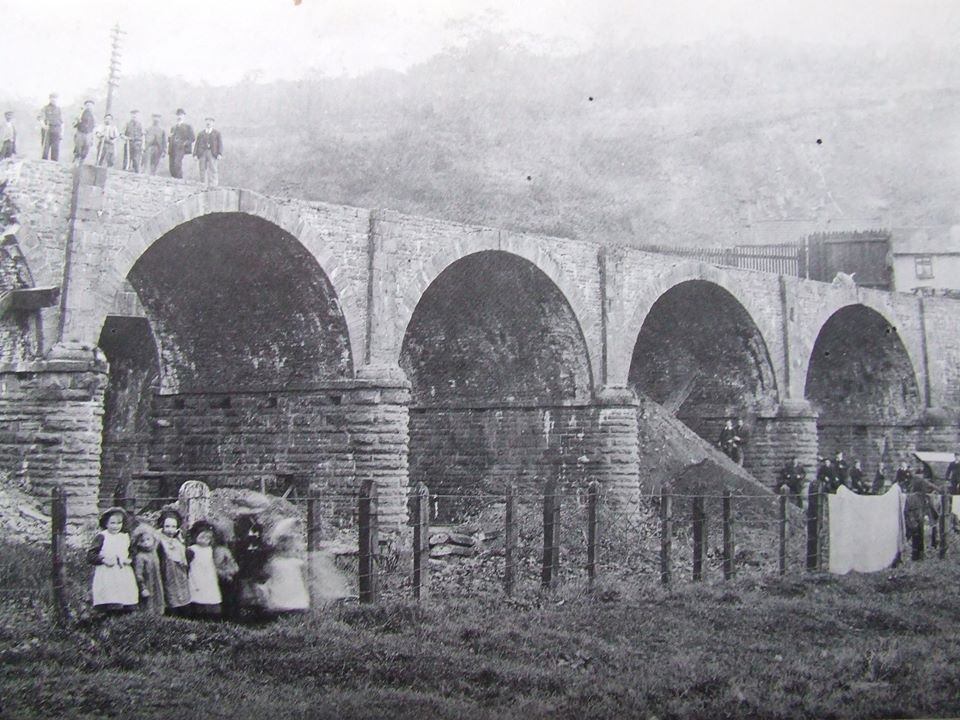
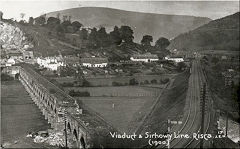
The Sirhowy Tramroad crossed the Ebbw valley from the copperworks to the appropriately named 'Bridgend Inn' on the solidly-built 32 arch viaduct built in 1805. It lasted for 100 years, being superceded by the LNWR Sirhowy branch embankment, and was demolished in 1905. The western bank has been completely disappeared under the Risca by-pass.
Danygraig Brickworks
|
Danygraig Brickworks
|

Danygraig Brickworks
|
Danygraig Brickworks
|
Danygraig Brickworks
|
Danygraig Brickworks
|
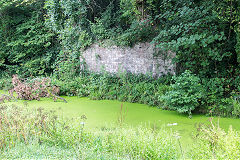
Danygraig copperworks pond
|

Danygraig copperworks pond
|

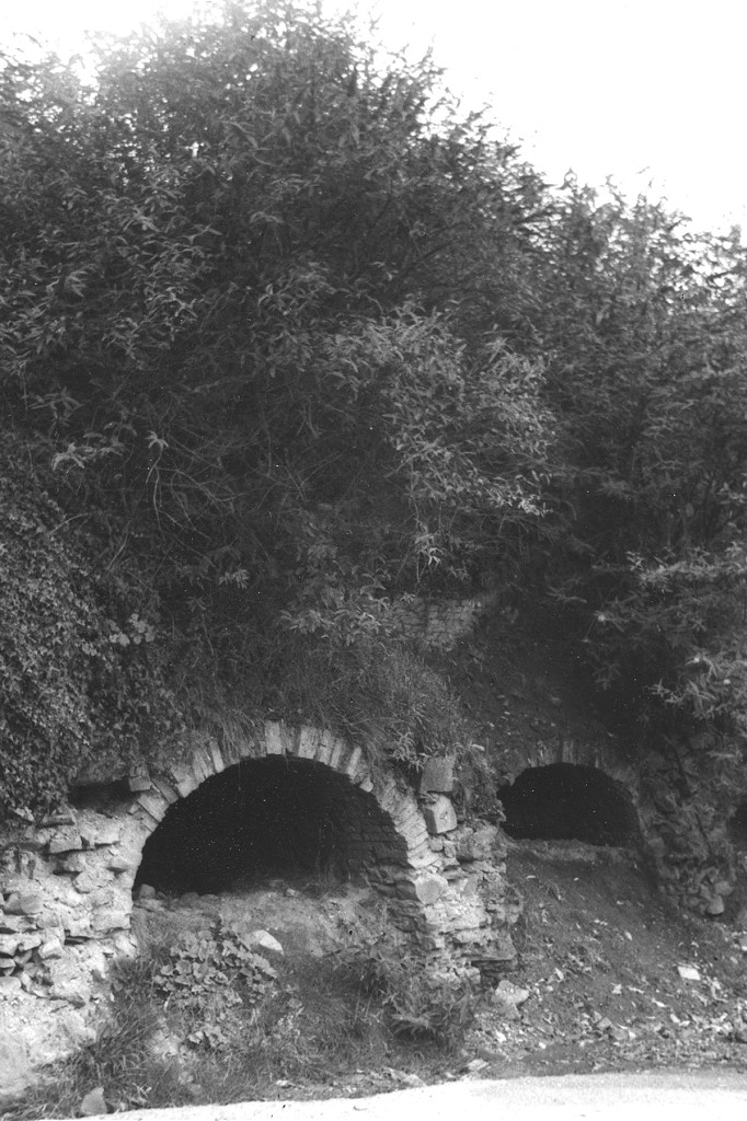
Danygraig limekilns, c1975
|
Danygraig limekilns, c1975
|
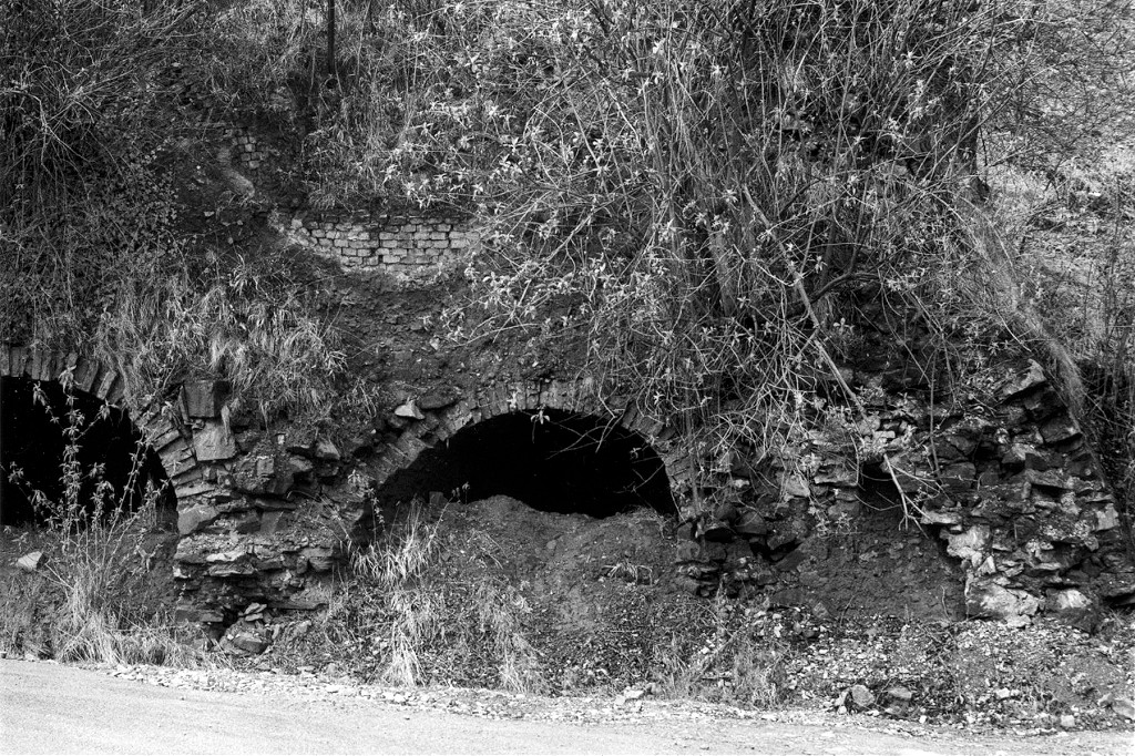
Danygraig limekilns
|
Danygraig limekilns
|

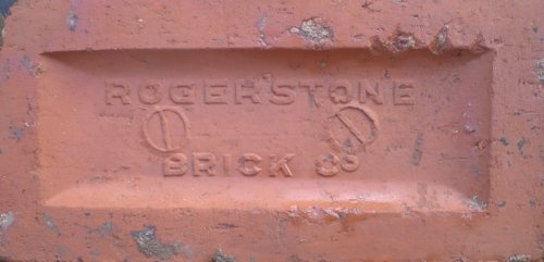
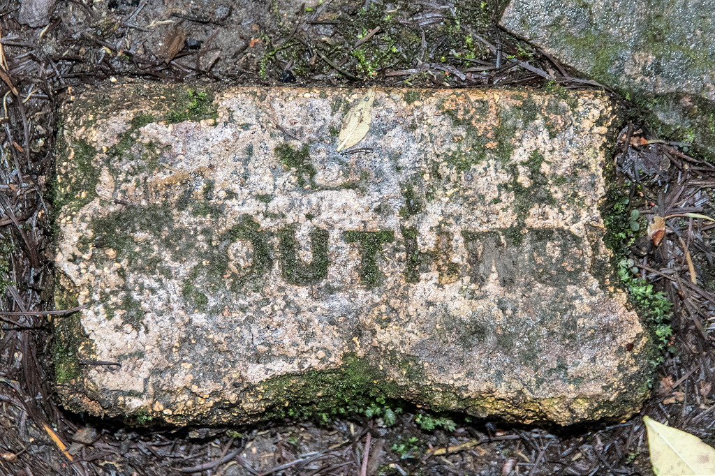
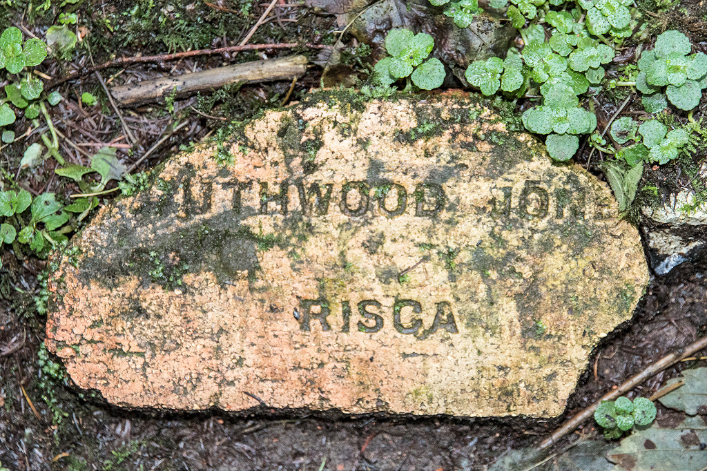
'Southwood'
|
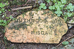
'Southwood Jones Risca'
|
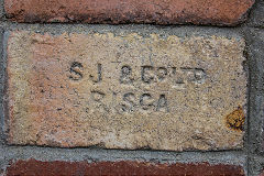
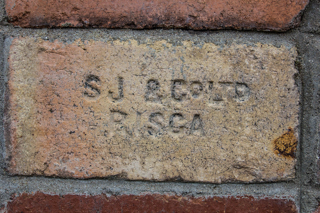
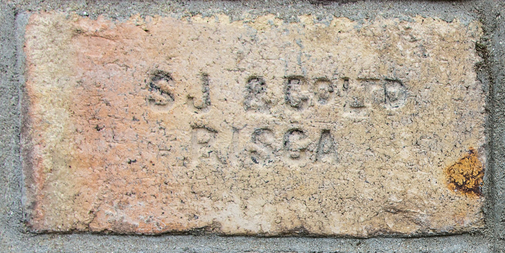
'SJ & Co Ltd Risca'
|
|
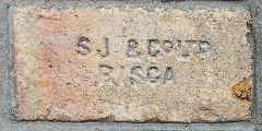
'SJ & Co Ltd Risca'
|
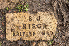
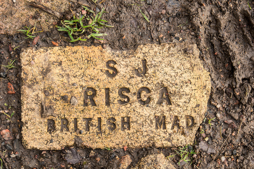
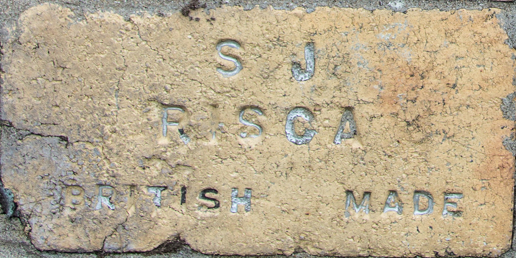
'SJ Risca British Made', Type 1
|

'SJ Risca British Made', Type 2
|
|
Danygraig brickworks in 1895
|
Danygraig brickworks
|

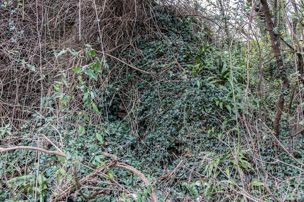
Danygraig limekilns
|
Danygraig quarry loading bank
|
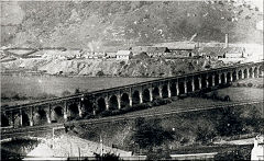
Long Bridge and brickworks, c1892
|
Long Bridge and railway, c1900
|
Long Bridge and limekiln
|
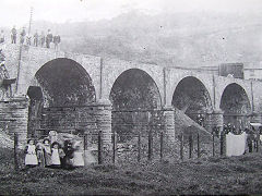
Long Bridge demolition, c1905
|
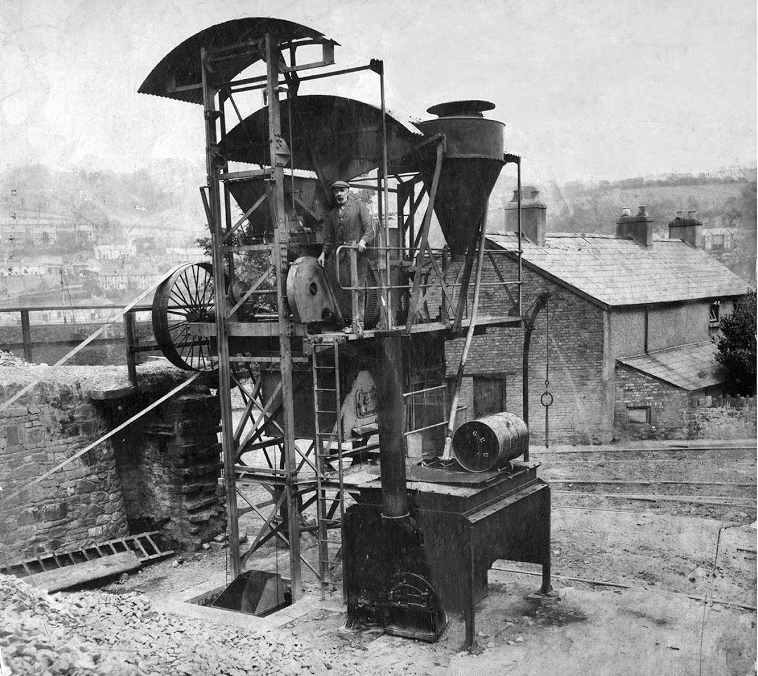
A belt-driven hoist at the quarry
|
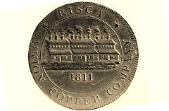
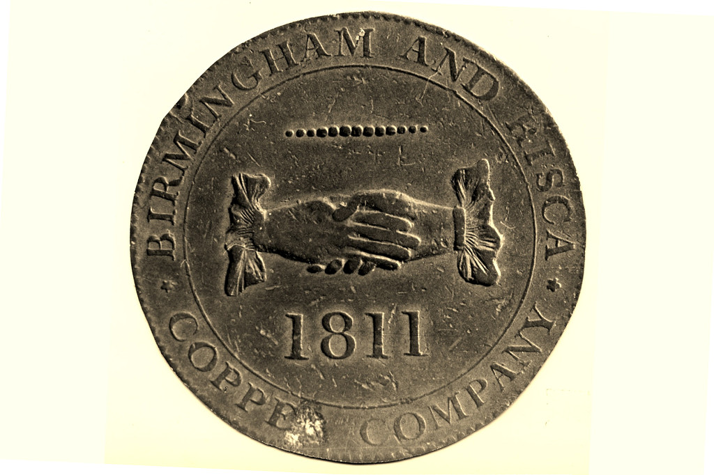
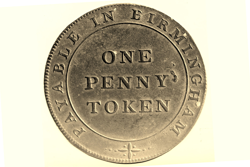
Union Copper Co 1d token
|
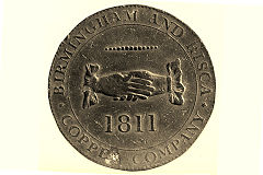
Union Copper Co 1d token
|

Union Copper Co 1d token
|
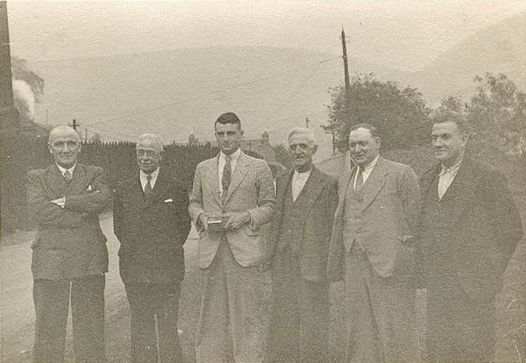
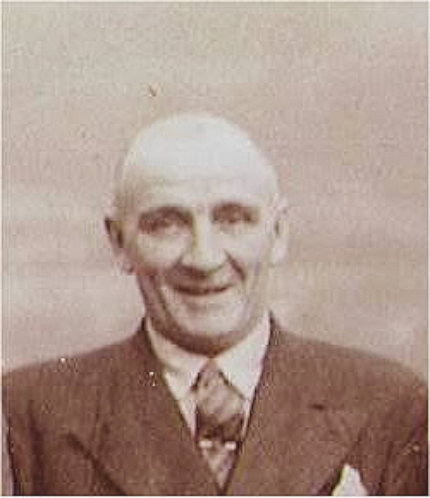
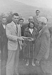
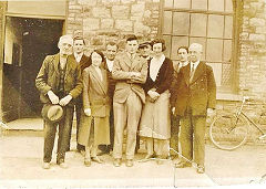
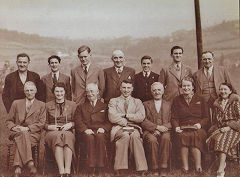
Danygraig long service awards
|

Danygraig long service awards
|
Danygraig long service awards
|
Danygraig long service awards
|
Danygraig long service awards
|

Danygraig long service awards
|
Danygraig long service awards
|
Danygraig Quarry announcement
|
Plas Turton quarry - ST 2290 9057
Plas Turton is believed to be a public house in the 1840s, well situated beside the high road down the Sirhowy Valley. In the 1890-1900s a long narrow 'quarry' was dug from the roadside in a Southwesterly direction./ A tramway with a distinct dog-leg to avoid Plas Turton itself connected the workings to Danygraig Quarry. The good members of OHIHS think it is more likely to be an exposed lead vein as why have a quarry of such an unusual shape. Whatever it was, it had all gone by the 1920s leaving the 'quarry' and a concrete base opposite the entrance but no real trace of the tramway.
A little to the East appears to be a small stone-banked reservoir of unknown purpose and shy of all maps, it seems too well-built to just be for livestock

Plas Turton quarry, 1901
|
Plas Turton quarry
|
Plas Turton quarry
|

Plas Turton quarry
|
Plas Turton quarry
|
Plas Turton quarry
|

Top of incline to Danygraig
|
Top of incline to Danygraig
|
Plas Turton reservoir
|

Plas Turton reservoir
|
Plas Turton reservoir
|
|
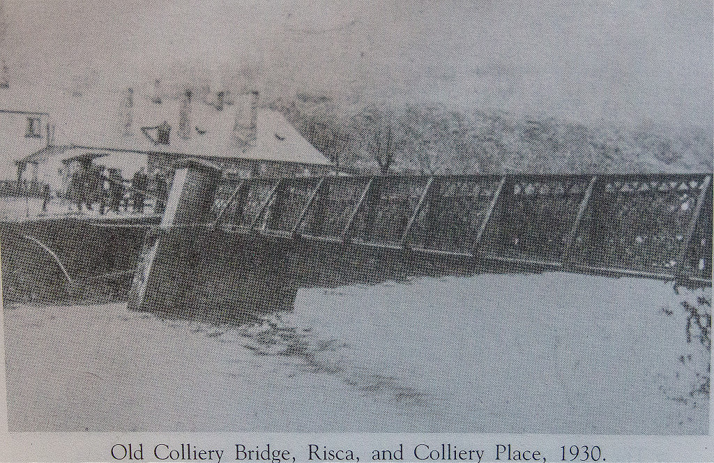
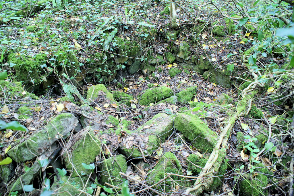
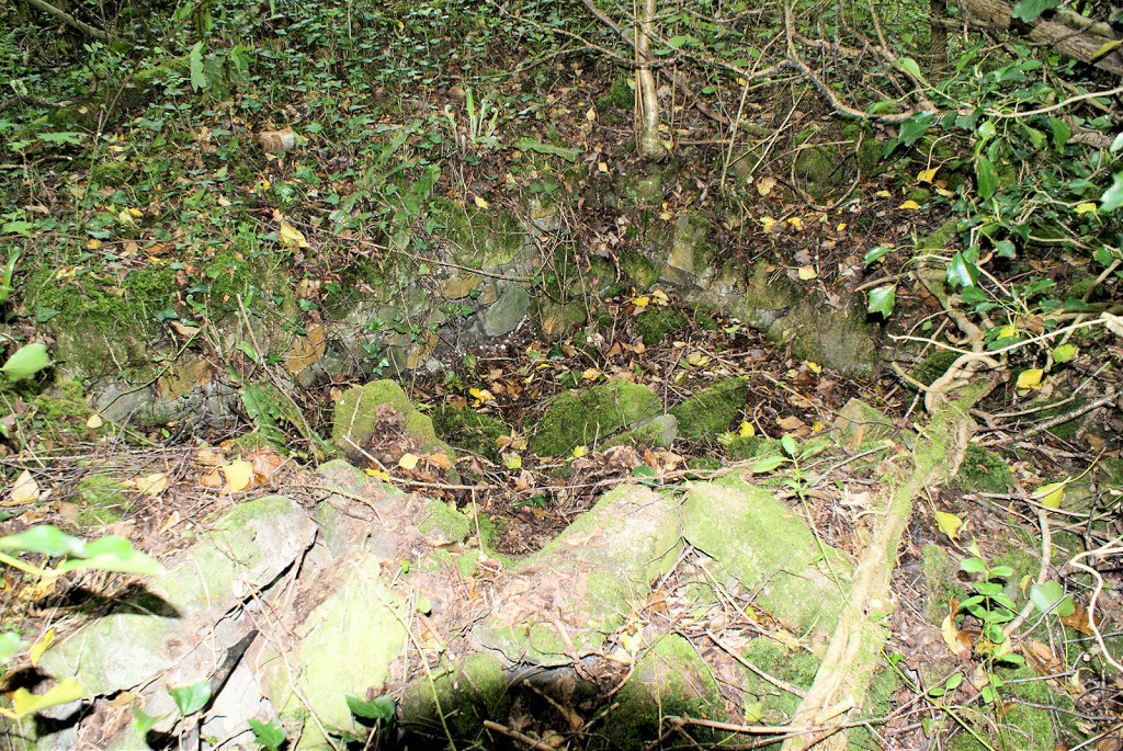
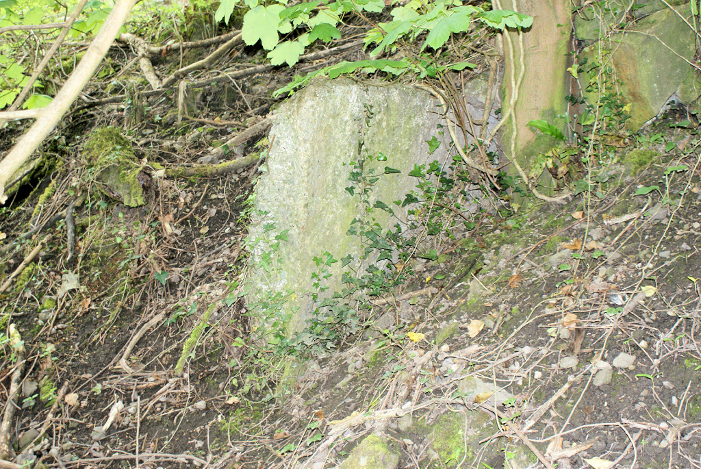
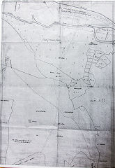
Colliery Place or Colliery Row - ST 2310 9133
Colliery Place or Colliery Row was the setting of 'Man of the Valleys' by Mary Paget. There were two rows of cottages and a Primitive Methodist Chapel known as 'Ebenezer'. The chapel dates from the mid-1840s and was demolished after the floods of 1891, the same fate which befell the original and later bridges. The inclines seen by Archdeacon Coxe in 1797 ran across the original bridge.
Colliery Place and beyond
|
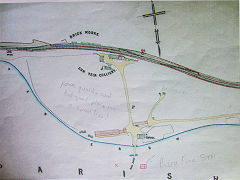
Sketch map of Colliery Place
|
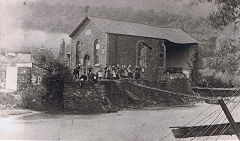
Colliery Place Chapel, 1891
|
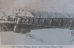
Colliery Place bridge, 1930
|
Colliery Place foundations
|
Colliery Place foundations
|
Colliery Place foundations
|
|
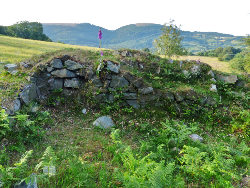
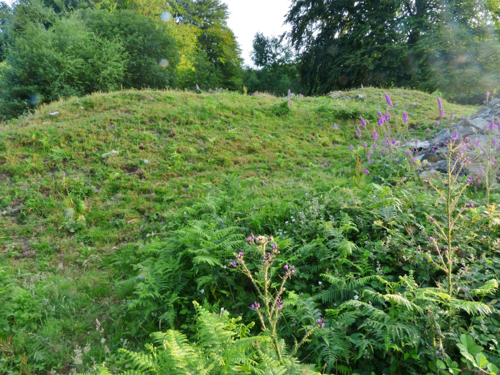
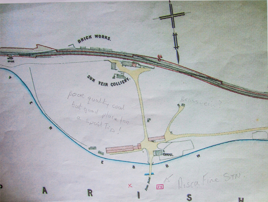
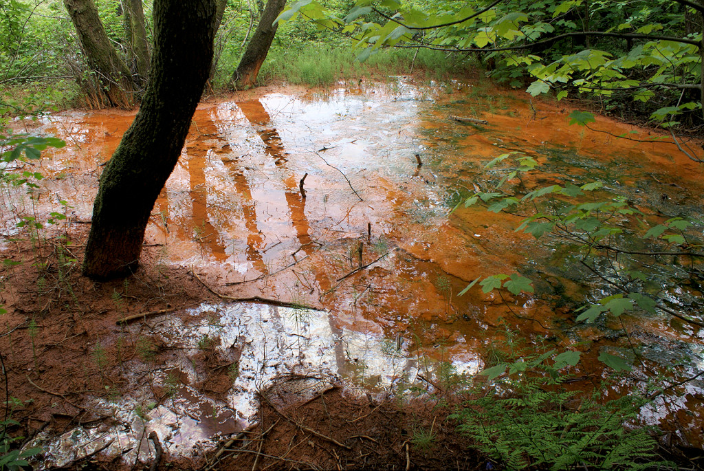
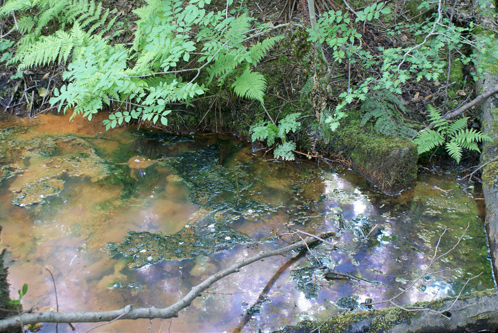
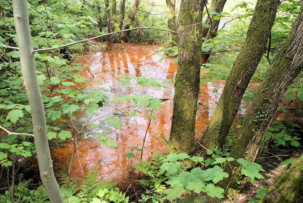
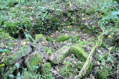
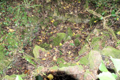
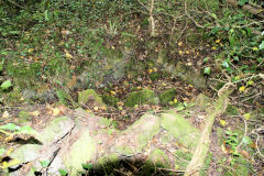
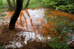
Sun Vein Colliery - ST 2310 9125
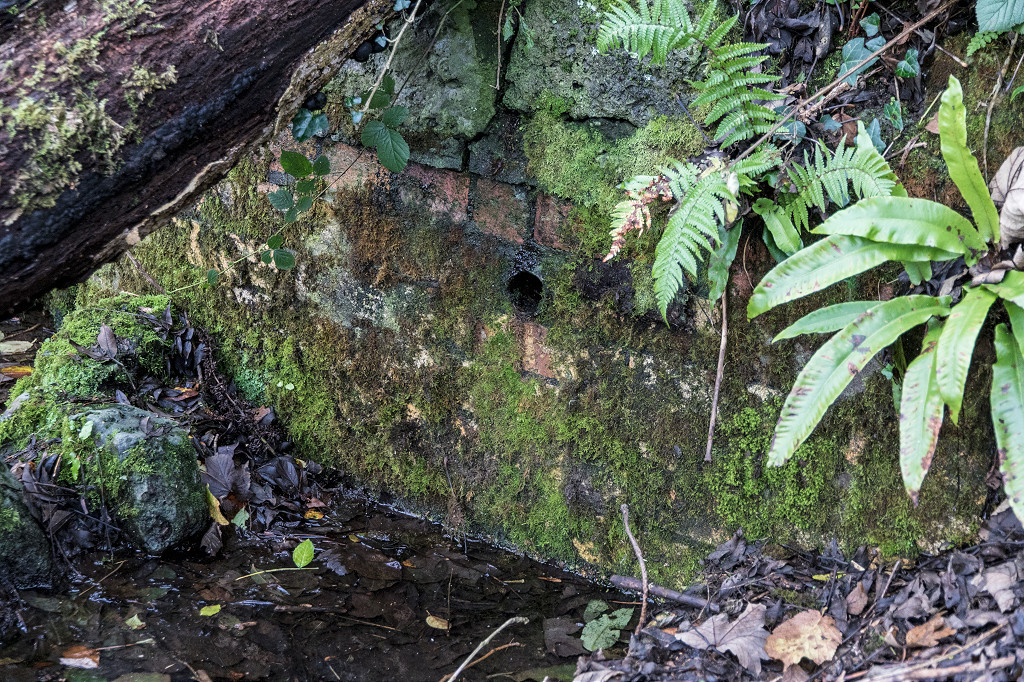
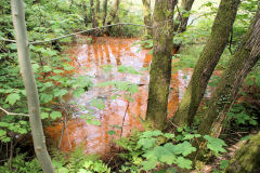
Sun Vein Colliery, Brass Vein level, Red Vein level and Old Blackvein level were small collieries and fireclay levels working the Southern end of the Blackvein complex. These were some of the original Blackvein workings, possibly dating back to the mid-1700s. All have disappeared under the Risca bypass but the drainage level still pours out orange water.

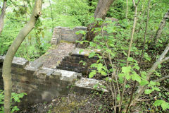
Sun Vein Level, foundations
|
Sun Vein drainage level
|

Sun Vein drainage level
|
Sun Vein drainage level
|

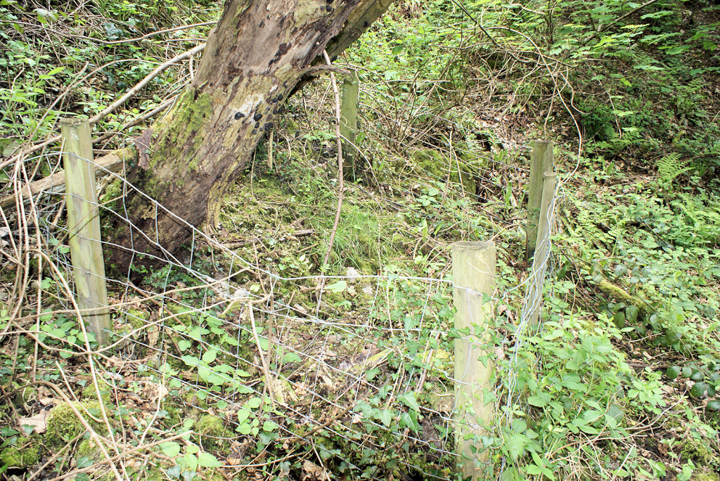
Sun Vein fenced off area
|
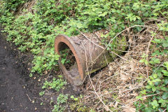
Drainage pipe in embankment
|
Drainage pipe in embankment
|

Rails supporting riverbank
|
Sirhowy Valley branch signal box
|
Sirhowy Valley branch signal box
|
Sirhowy Valley branch signal box
|
|
Danygraig Leadmine
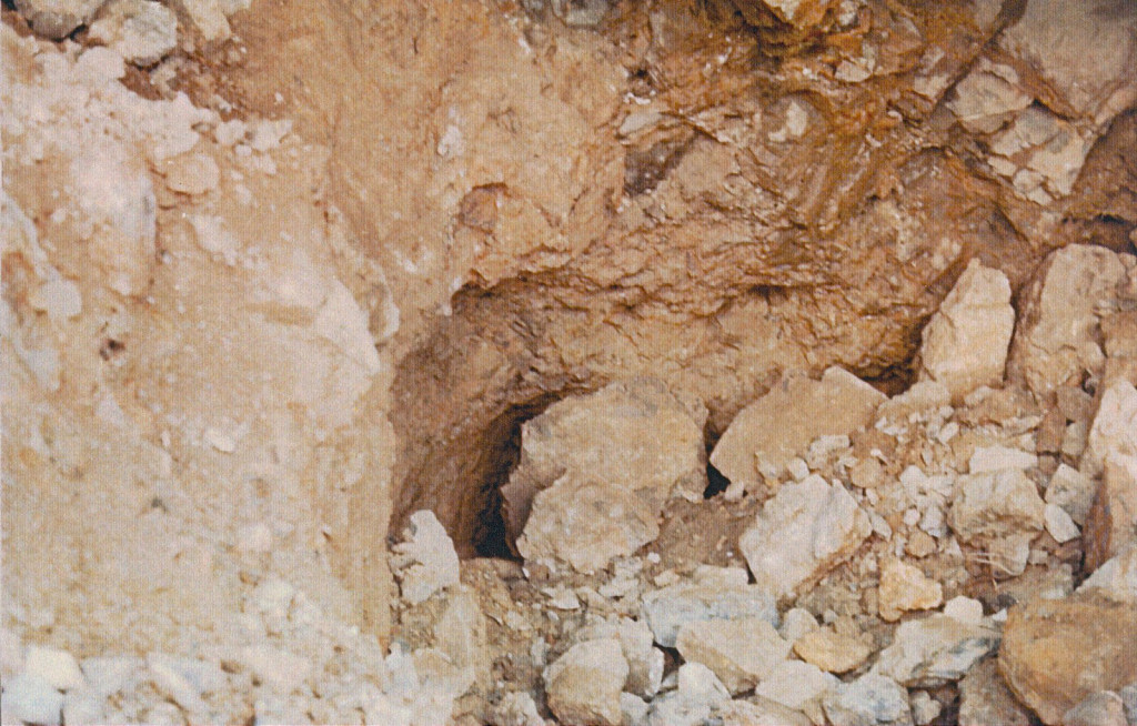
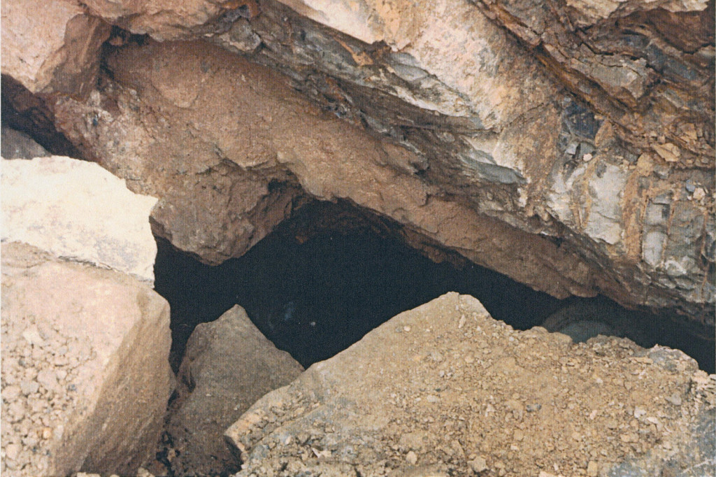
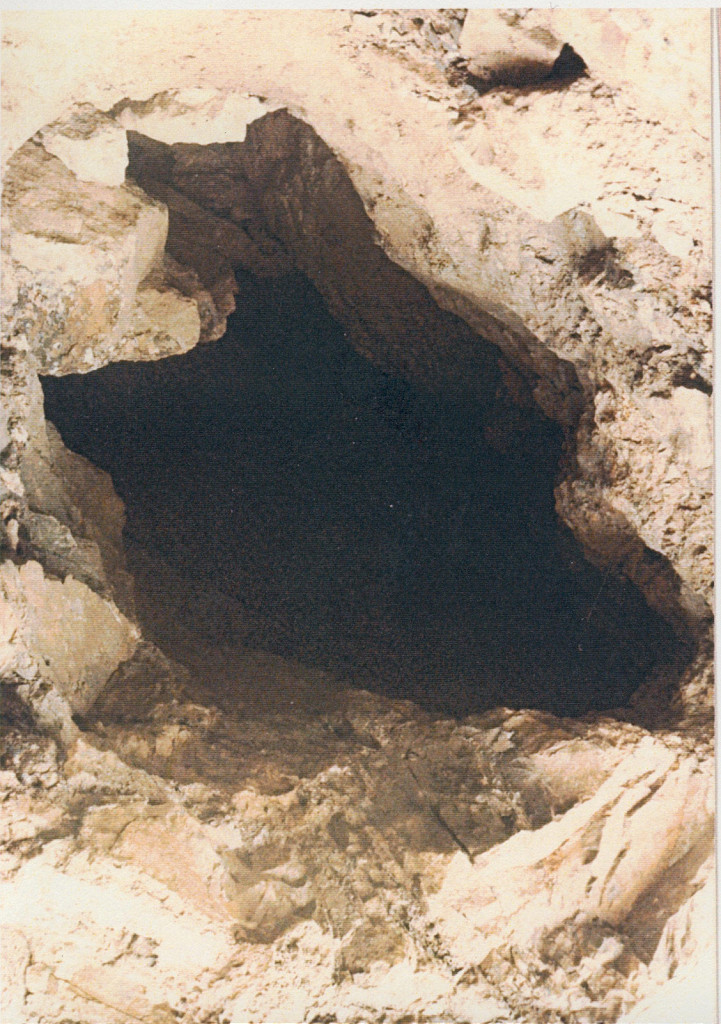
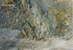
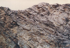
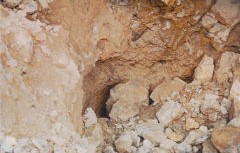
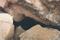
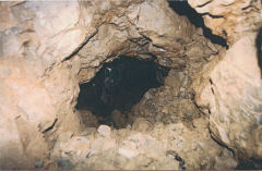
Danygraig Leadmine - ST 2347 9078
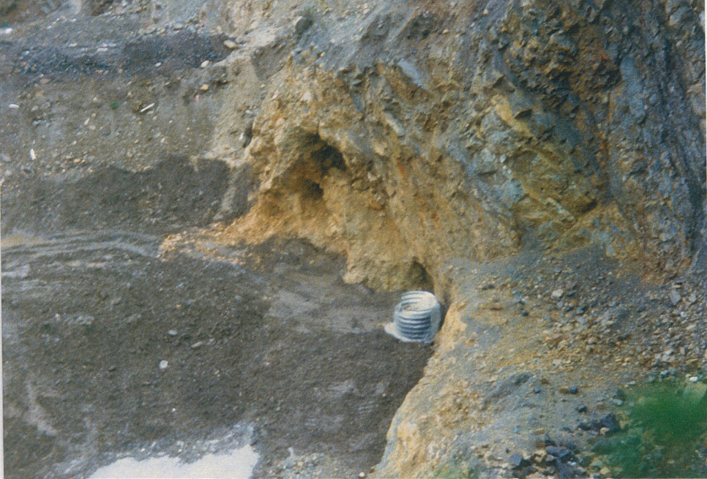
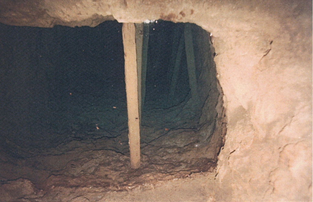
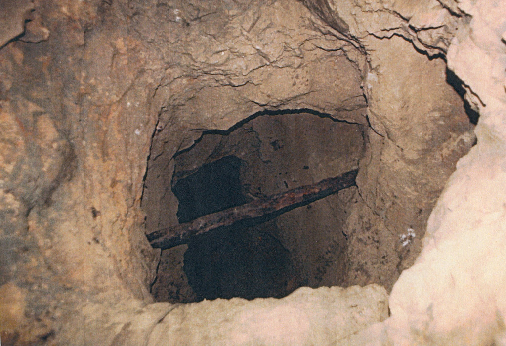
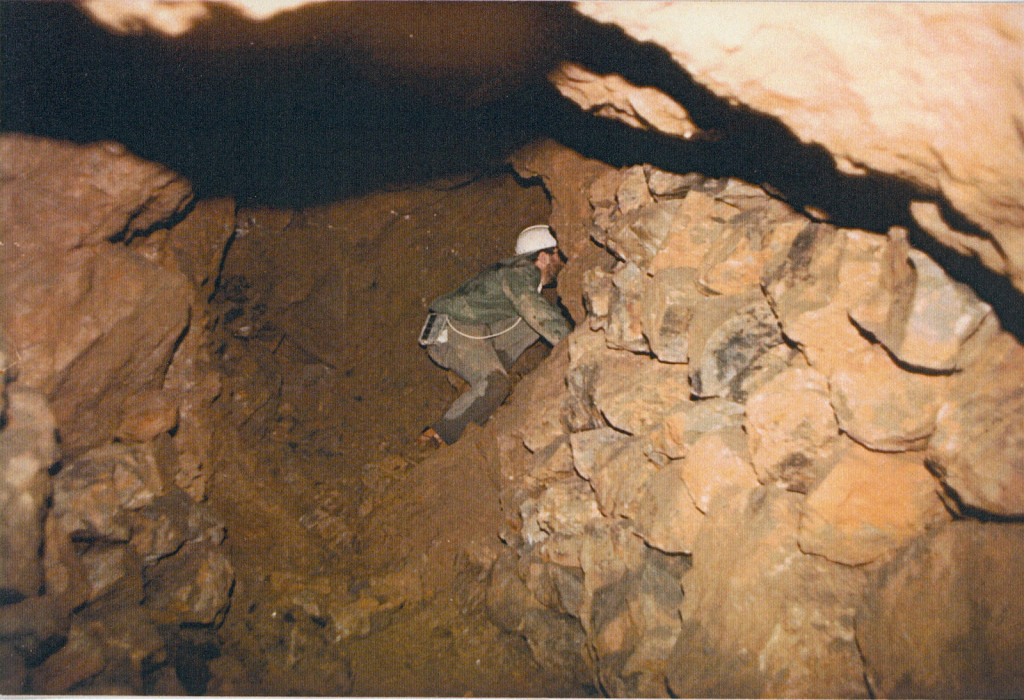
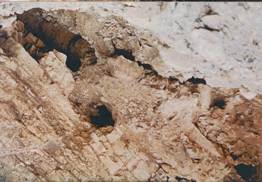
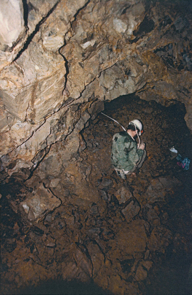
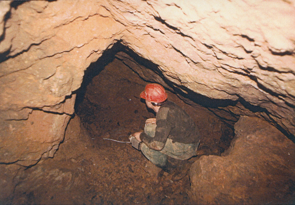
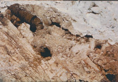
The Danygraig Leadmine is rumoured to date back to Roman times but certainly appears to be early 19th century and was re-discovered in 1977 when quarrying revealed an tunnel in the quarry face, A team from the Bristol Exploration Club (BEC) explored part of the mine in 1984 on behalf of GGAT and produced a report and plan. Later Dave Bryant and friends explored and mapped the Danygraig lead mines in 1986 just before they were sealed up. These are the photos they took and the descriptions and reports of the exploration are at the end of the photos.
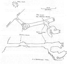
Plan of the leadmine, 1984
|
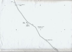
Plan of the leadmine, pt 1, 1986
|
Plan of the leadmine, pt 2,1986
|

The entrance being filled in
|
The site of the entrance
|
The site of the entrance
|

The site of the entrance
|
The entrance after filling-in
|
The entrance after clearing rocks
|

The entrance after clearing rocks
|

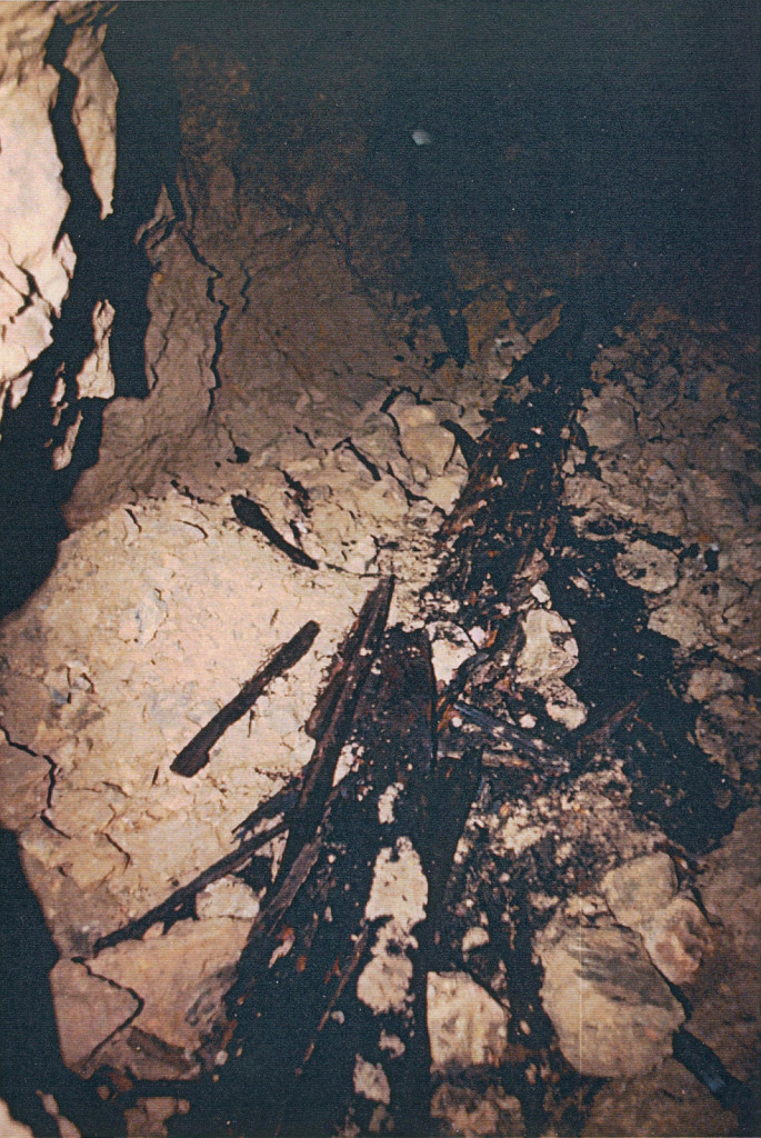
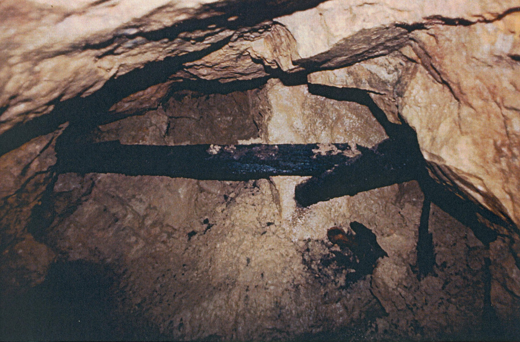
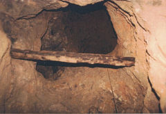
Remains of the wooden tramway
|
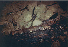
Remains of the wooden tramway
|
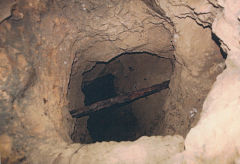
Looking towards the entrance
|
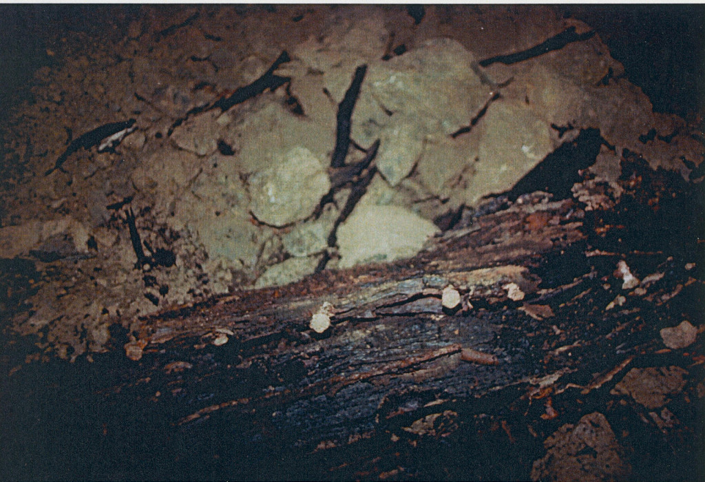
Pin holding the hoist beam in place
|

Wooden scaffolding in the shaft
|

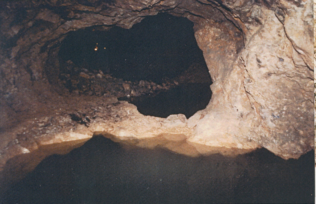
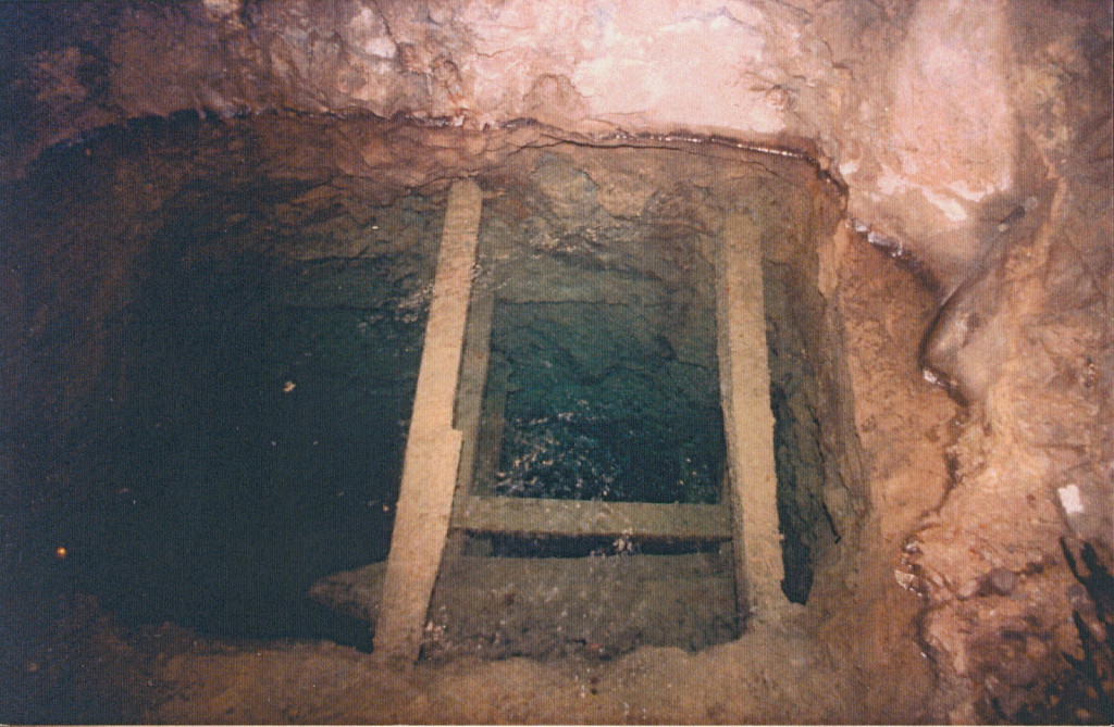
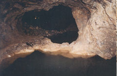
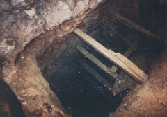
Water-filled shaft
|
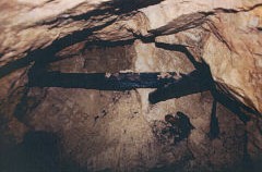
Hoist beam above shaft
|

Water-filled shaft
|
Wooden scaffolding in shaft
|
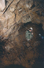
Shaft up to the second level
|
Looking down from second level
|

Back-filled workings
|
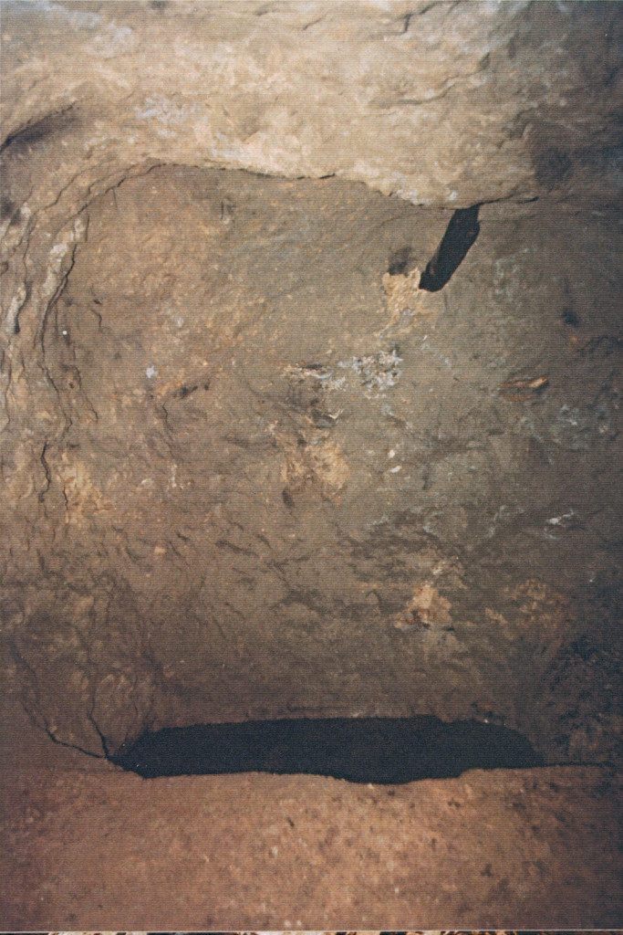
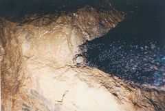
View along one of the tunnels
|
View along one of the tunnels
|
View along one of the tunnels
|
View along one of the tunnels
|
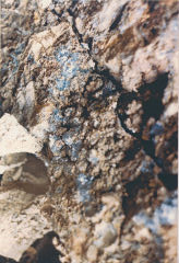
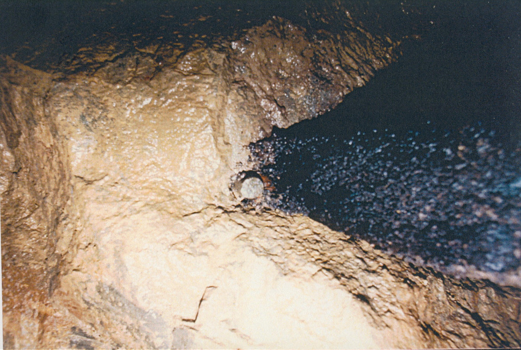
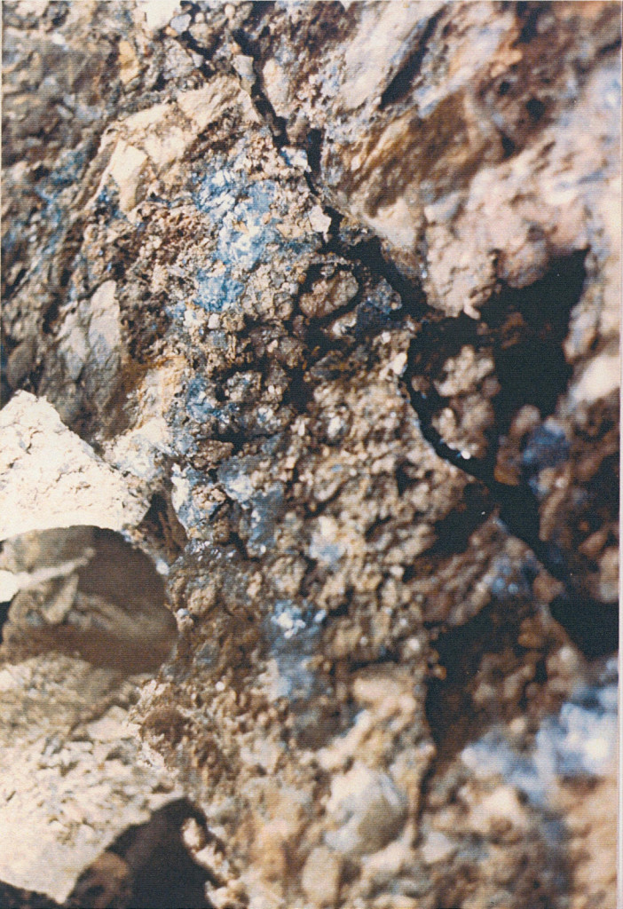
A seam of lead
|

Danygraig Leadmine and Dave
|
Danygraig Leadmine - Dave's Adventures underground
Dave, now in Norfolk but really from Risca, has supplied this fascinating account of his exploration of the old Danygraig lead mines in 1986 :-
"When the quarry was being prepared for use as a rubbish tip, some old lead working tunnels were uncovered so one Sunday afternoon some friends and I went to have a look. We were just about to go off to the Blackvein upper level, when a chap who I think was named Tony Edwards, turned up in a JCB. We thought he'd come to tell us to bugger off the site. But he'd been working at the tip just down the road. He told us that, years ago, he'd found the entrance to a large network of tunnels, large water pool and water filled shafts. He said he'd explored them at depth, and written his initials 'TE' in yellow crayon, at various locations throughout the system, also he'd installed some poles and ropes to gain access to the higher levels. But after a major cave in, he lost the entrance. He did say his aluminium ladder, candles, torch and some other stuff was still down there.
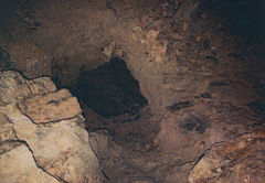
After he went we sat on a shale bank in the sun when Nick, who was poking around and picking up stones, found a candle. We dug down a little and found some more candles. We removed quite a bit of shale, and got down into a small void. There we saw to our amazement an aluminium ladder, sticking up from between some large boulders. We removed as many boulders as we could and using a length of pole, heaved the remaining large boulders apart. This revealed our entrance to an amazing sight.
A large cavern with a greenish coloured water-filled pool. Oak tram lines were still in place but very rotten. To our right was a tunnel, which had a water filled shaft at the end, this still had wooden scaffolding in place. A narrow ledge led around the right hand side of the pool, to another tunnel. At the far end of the pool, to the left of the tunnel was a back filled tunnel, this is where most of the lead ore we recovered came from. Moving on up the tunnel, we came to a shaft, with pole and rope still in place to gain access to the next level.
Sure enough, we found Tony's initials everywhere in yellow crayon, also found some food cans, ropes torch etc, as he described. All now very rotted and rusted to pieces. Before we ascended to the next level, we followed the tunnel to it's end, here we found another water filled shaft. At this shaft we found stalagmites looking just like glass needles sticking out from the rocks, they looked very strange indeed. Going back to the up shaft, a tunnel led off to the right, this turned out to be backfill.
I can't remember too much about the second level, as the first level was by far the best. I do remember a lot of the second level was back fill, one long tunnel led us to a fair size cavern but not as big as the cavern at the entrance. This second cavern had a large shale and boulder slope at it's end, at the top of this slope was a fair bit of muck, we think that it was a collapsed entrance. We did find some similar rocks and a depression roughly in about the right location, just into the forest tree line of the farm fields above and to the right of the old quarry. Not sure if its called Rock Farm. (I think he means Buck Farm) Anyway, the shale back had another level leading from it. The access, to this third level, was by means of a steel rope ladder. Unfortunately, my friend Nick slipped of a rung, and fell back onto some boulders, just bruises thank goodness.
The council got to hear of our exploits and had the entrance filled to stop us getting in. When they either blasted it or got a machine in to do it, some more tunnels got exposed above our original access point. We hoped to be able to get back in, but these tunnels turned out to be a no goer. We decided to look at our original entrance as an option. With a bit of rock humping and a little bit of digging we got back in within an hour. We didn't bother with the third level anymore. Thought it best to get the mapping and pictures done. Which is what we did. Darn council found out about our exploits again, and we got threatened with legal action, so that put the brakes on that one. We did hear that the council sent a team of people in there to see what was there, and photograph it, also heard that divers went down the shafts, think that would have been a bit iffy, as the shafts had so much wood still in place. We measured the shafts with a lead plumb, it was about ??? feet deep.
A chap I knew who drove one of the big Euclid dump trucks, getting the old Blackvein site ready for the by-pass, said when they were blasting just up past the brick works, they discovered some tunnel workings and tools. These got destroyed, so the project didn't get held up. If that was true, I know not. I remember when the earth scrapers were in the Blackvein, they broke into one of the old coal workings, I remember peering down inside the hole, didn't have a camera though."
Danygraig Leadmine - Bristol Exploration Club's report
Having seen the report on Roman Mine, Drathen, The Glamorgan Gwent Archaeological Trust Ltd. approached the Club, asking if we were interested in having a look at some workings that had been recently uncovered at the Dan -y- Graig Quarry near Risca, S.Wales.
The archaeologists were hoping that these workings may have had some origin in Roman times. Local evidence although sparse, points to some form of Roman mining activity in the Risca area.
Tile stamps from the Second Legion have been found near the church at Risca. The Second Legion were involved in various prospecting and mining activities, kind of Roman version of the Royal Engineers. They were also active in the Charterhouse lead mining area of Mendip. Two place names in the area are direct corruptions of the Roman/Latin; Pontymister (Pone Magistri - Bridge of the Masters.) and, it follows also that as the Roman Mine site at Drathen, just a few miles away was discovered by Roman prospectors any mineral deposits at, Risca would most likely be found. The Roman skill in finding minerals is well known.
A letter written in 1983 to the Archaeological Survey Officer, from a Mr Tony Edwards, gives an account of these workings when first uncovered in 1977. The text of which is given below:-
"The workings were re-discovered when we were clearing stone and rubble away from a rockface. I was given to understand that shafts existed in the field near the edge of the quarry, also close by was the wonderful remains of Craig -y- Neuadd.
We used to stay behind after work and using lamps, etc, would explore the extent of the workings. They appeared to be at various levels, with two entrances near the top of the face. One was of little interest and the other, a tunnel approx, 4ft high ran for about 25 - 30yds. The end was blocked with rubble but did not look like a roof fall. Along this tunnel was an entrance off to the right, this then opened into a small chamber with a hole? in the floor, we climbed down into the hole/shaft which appeared to be workings, with signs of black flame burn marks here and there. Eventually this hole was blocked so we did not bother to uncover any more.
Now to what I thought was the best tunnel. This entrance was lower than the other two, probably part of a chamber, upon entering; there were large slabs of rock running down from left to right. We slid down some of the small ones (the large ones formed the roof) and came to a ledge, using a ladder and some rope we were able to climb down to a floor level.
It was a lovely sight, a huge cavern; in the middle was a clear blue pond. There were workings all round, with a number blocked with small boulders, again we did not try to unblock them.
In the middle of the cavern was the remains of a wooden tramway? running from an area not far from where we came in and up to the edge of the pool. The pool did not look very deep and we thought perhaps a small bridge (wooden) may have carried the tramway to the other side.
On the other side was a tunnel 6 to 7 feet tall and about 4 feet wide. I think this one was linked.to another that ran for a number of yards and into a dead end chamber. The other ran for quite a distance and ended in a chamber with a hole in the floor, flooded but with big timbers around the sides. (The hole was not guarded we could see the timbers by shining the light down the shaft.)
Back to the side of the pond, another tunnel, quite long, with the sound of heavy water, we found it blocked. Where was that water going?
Hoping this is some help to you.
Yours Tony Edwards."
We had hoped to meet Mr Edwards on our visit to the quarry, but unfortunately he was not present. Our visit took place on October 13th and the party consisting of Tim Large, Tony Jarratt, Dany Bradshaw, Jill and Norman Tuck, and myself, plus representatives from Islywn Borough Council, and the Gwent Glamorgan Archaeological Trust, assembled at the quarry.
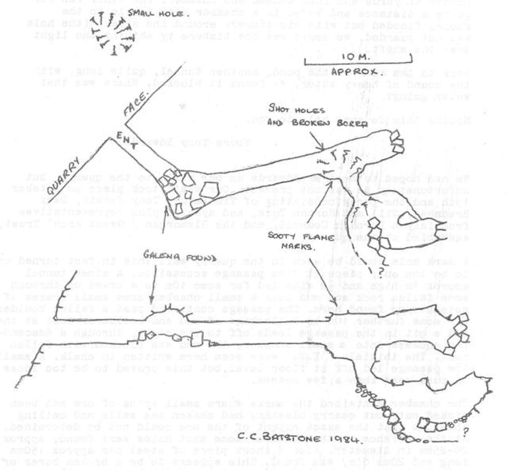
A dark hole could be seen in the quarry wall this in fact turned out to be the only piece of mine passage accessible. A mined tunnel approx 1m high and 10m wide led for some 10m to a crawl up through some fallen rock and mud into a small chamber some small traces of galena were found here. The passage continued past a fallen boulder for some further 10m to a blockage of mud and boulders. Just at the end a pit in the passage leads off to the right, through a descending squeeze into a small chamber, the end was blocked with fallen rock. The initials 'T.E.' were seen here written in chalk. A small low passage led off at floor level, but this proved to be too loose to push more than a few metres.
The chamber contained the marks where small veins of ore had been picked out, but quarry blasting had shaken the walls and ceiling about so that the exact extent of the ore could not be determined. At the entrance to this chamber some shot holes were found, approx 20-25mm in diameter. Also a short piece of steel bar approx 150mm long and 20mm dia, was found. This appears to be a broken borer or chisel, having the burred end consistent with being struck repeatedly. Smoke marks were also seen in the same place on the roof, but no indication as to their age could be seen.
The tunnel described in para 2 of Mr Edwards letter does seem to be very similar to the one we explored. The quarry blasting has shattered the rock and the whole working is in a state of collapse. We withdrew to the surface and made a search of the quarry for further accessible workings. The lower level workings mentioned by Mr Edwards seem to have been obliterated by the work in the quarry.
Work in the quarry is soon to cease, it is hoped that the Council may uncover more workings during the tidying operations. If this happens we hope to be able to conclude our explorations.
In conclusion. The workings so far seen, although small, together with the description from Mr Edwards, point to a small mining venture around the 18th Century. Any Roman workings are likely to have been obliterated during the development of these workings if indeed the Romans managed to find and exploit the mineral.
Our thanks to: -
Islwyn Borough Council, A. Monk & Co Plc for permission to carry out explorations.
Glamorgan/Gwent Archaeological Trust Ltd.
Acknowledgments, sources and further reading
Thanks for the use of their photographs and information to :-
Risca Industrial History Museum, Dave Bryant, Stewart Campbell, Jim Coomer, Stan Edwards, David Gaylard, Malcolm Johnson, Tony Jukes, Bryan Morgan, Bernard Osment, Oxford House Industrial History Society, Rob Southall, Maggie Thomas, Glynn Tucker, John Venn.
'Man of the Valleys' by Mary Paget, Alan Sutton Publishing Ltd, 1985
'Risca - Its Industrial and Social Development' by Alan Victor Jone, 'New Hoizon' publishing, 1980
'Archive' magazine, issue 73 - 'Who was 'Iron-bottom' Rogers?' by Malcolm Johnson.