Industrial Wales - Monmouthshire's Western Valley
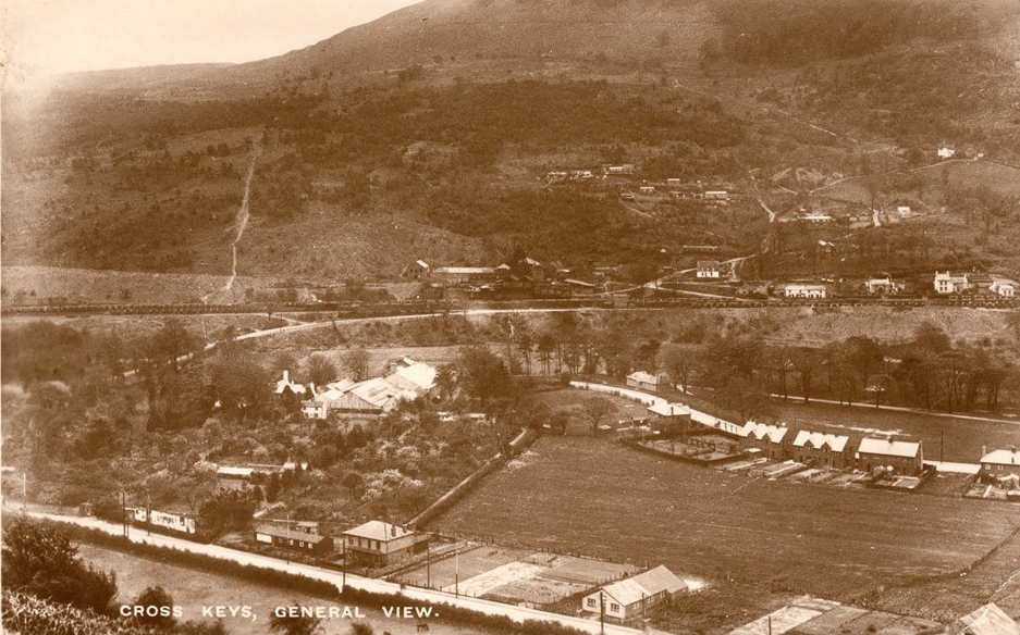
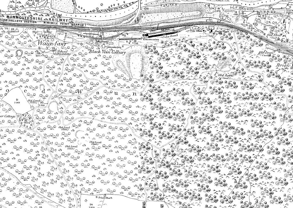
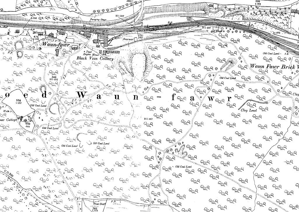
Risca Blackvein Colliery and Waun-fawr
very old coal, clay and lead workings and Archdeacon Coxe's incline of 1797
Search the site here
|
|
Industrial Wales - Monmouthshire's Western Valley
Risca Blackvein Colliery and Waun-fawr
very old coal, clay and lead workings and Archdeacon Coxe's incline of 1797
|
Search the site here
|
 Blackvein, 1880 |
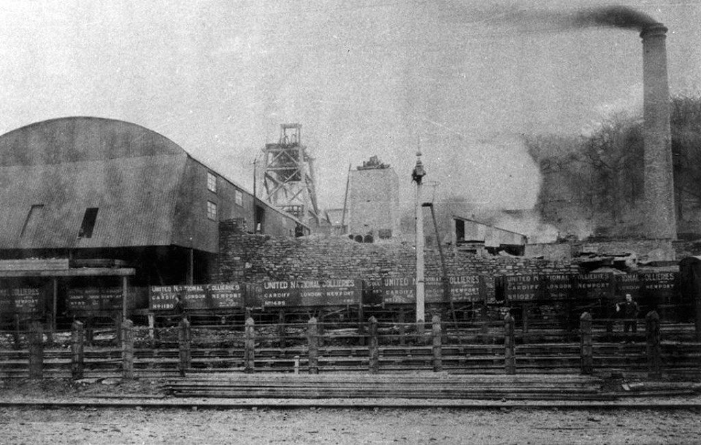
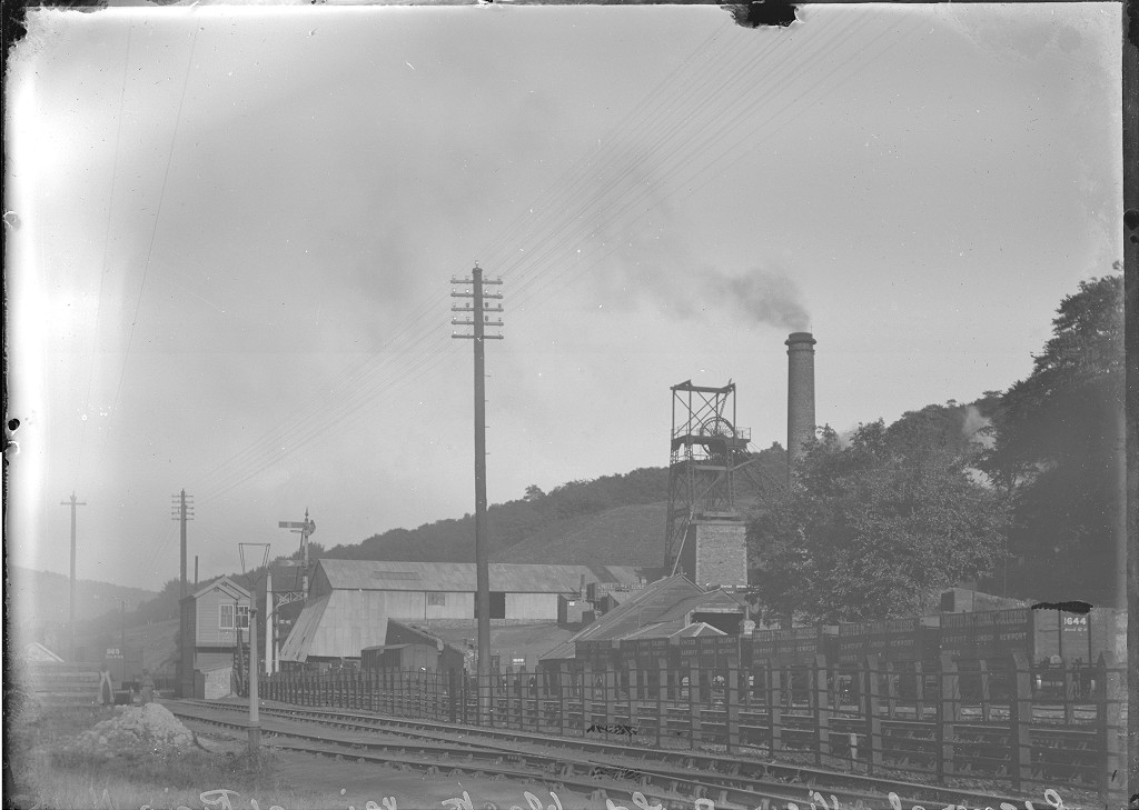
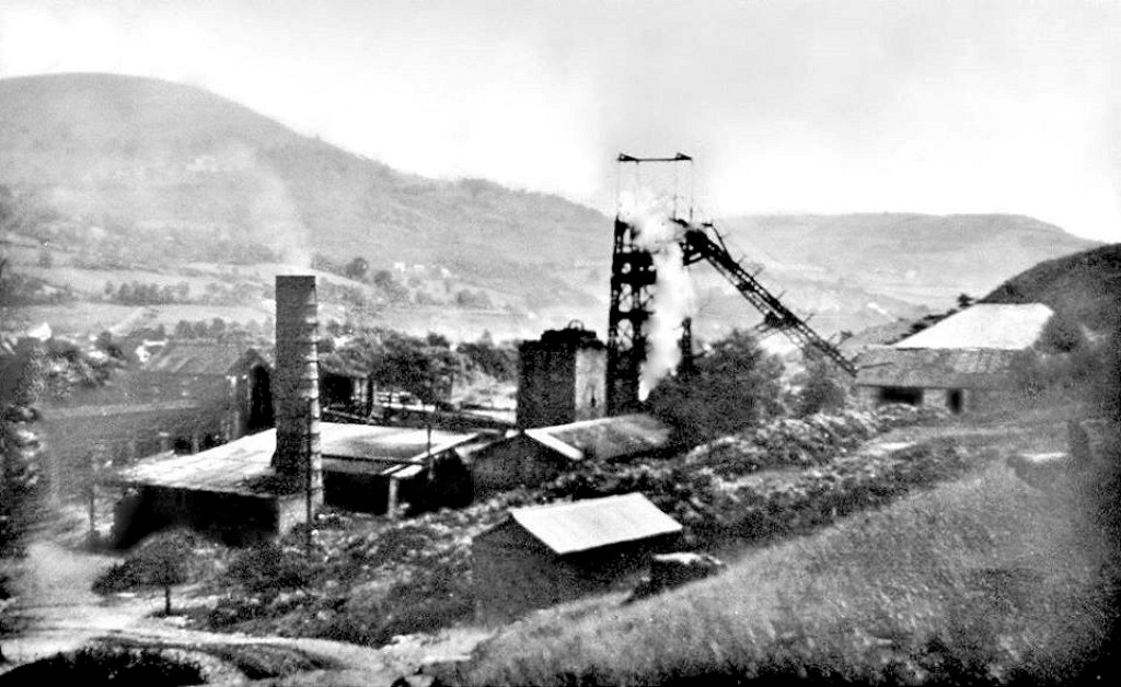
 Blackvein Colliery, 1901 |
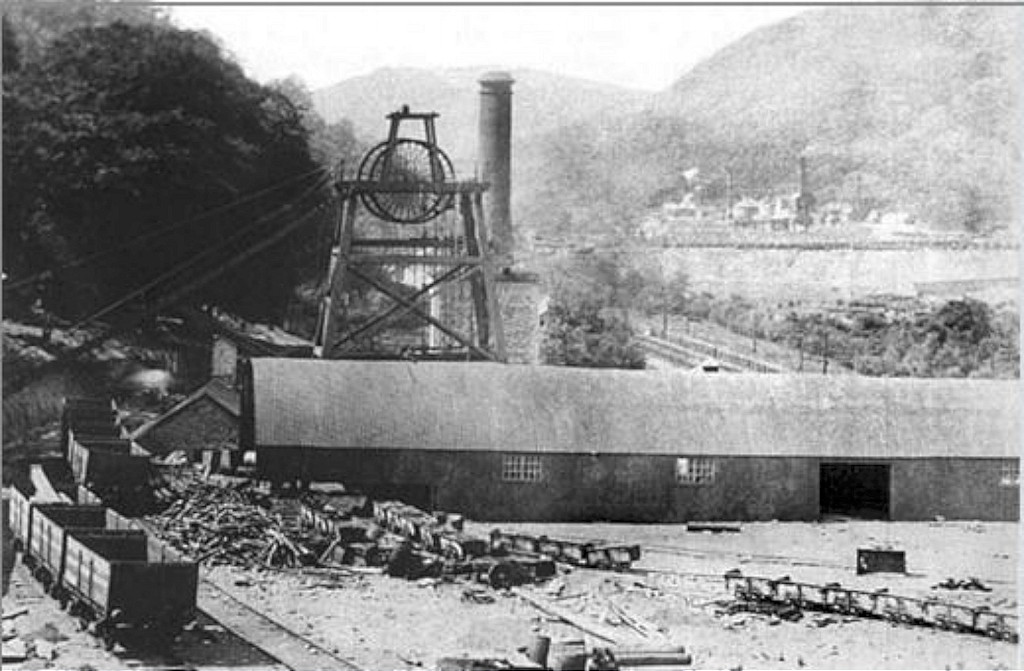
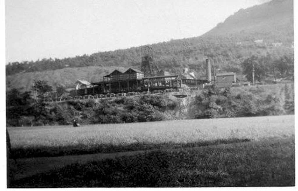
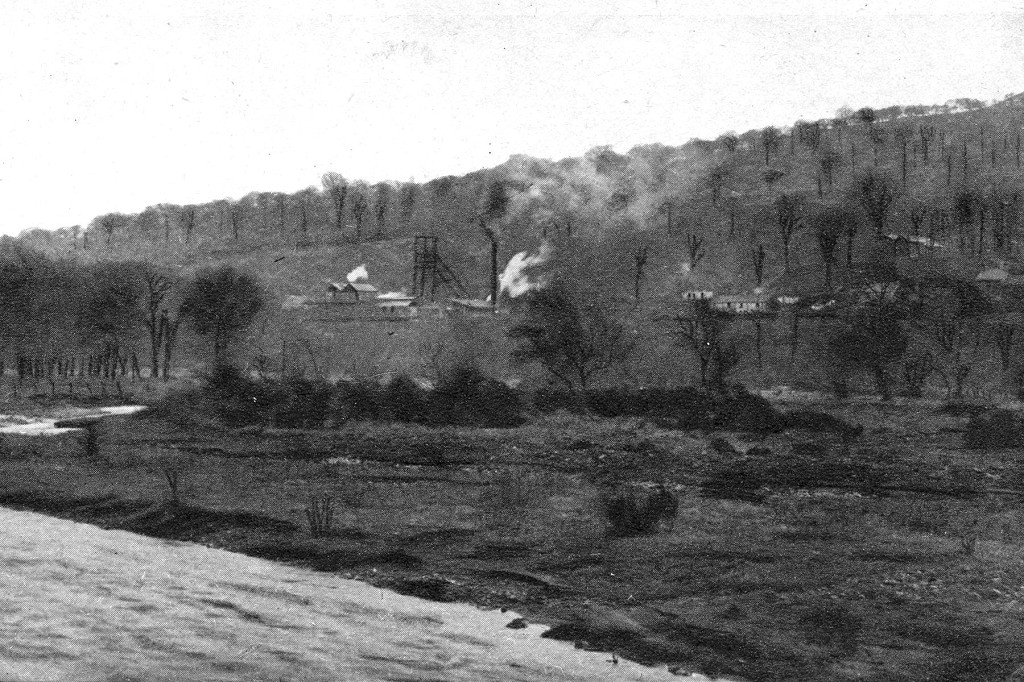
 Blackvein Colliery, 1920 |
 Blackvein Colliery, 1962 |
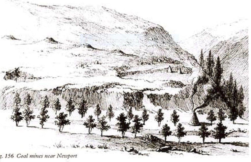 A sketch by J J Angerstein, c1760 |
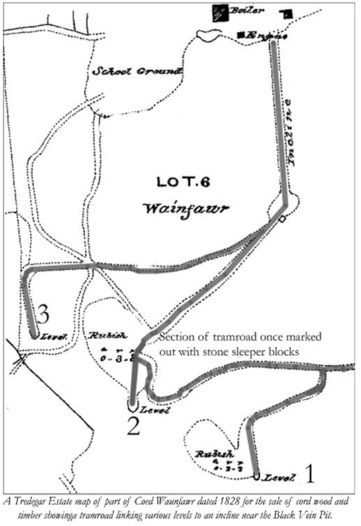 The Waunfawr Tramroad in 1828 |
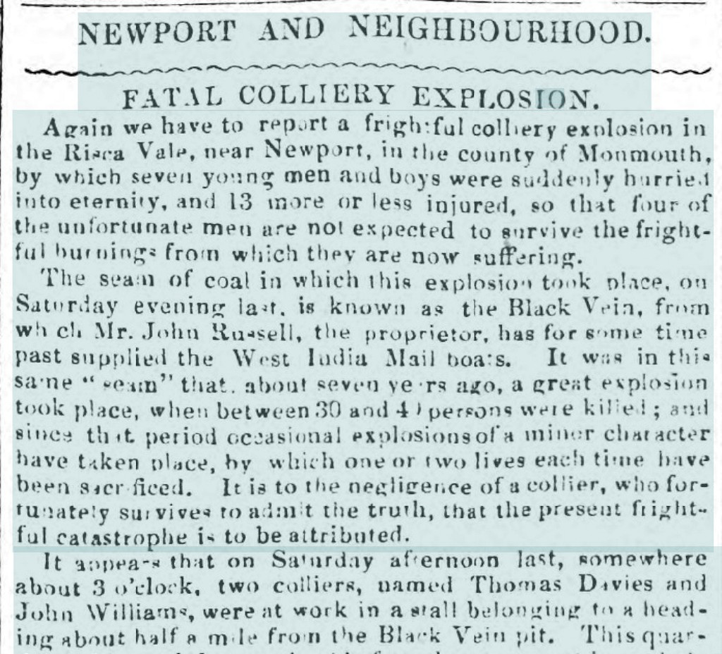 Risca Vale Colliery explosion, 1853 |
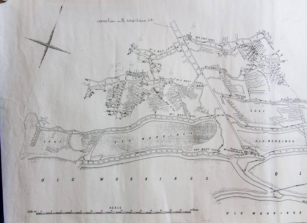 Underground workings, 1860 |
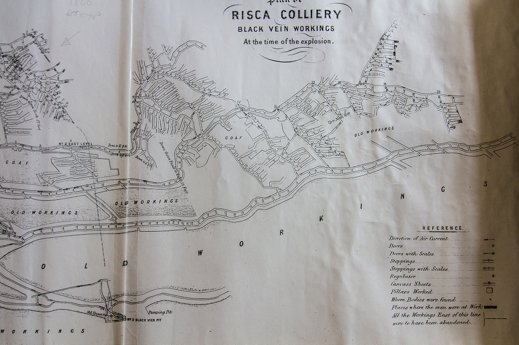 Underground workings, 1860 |
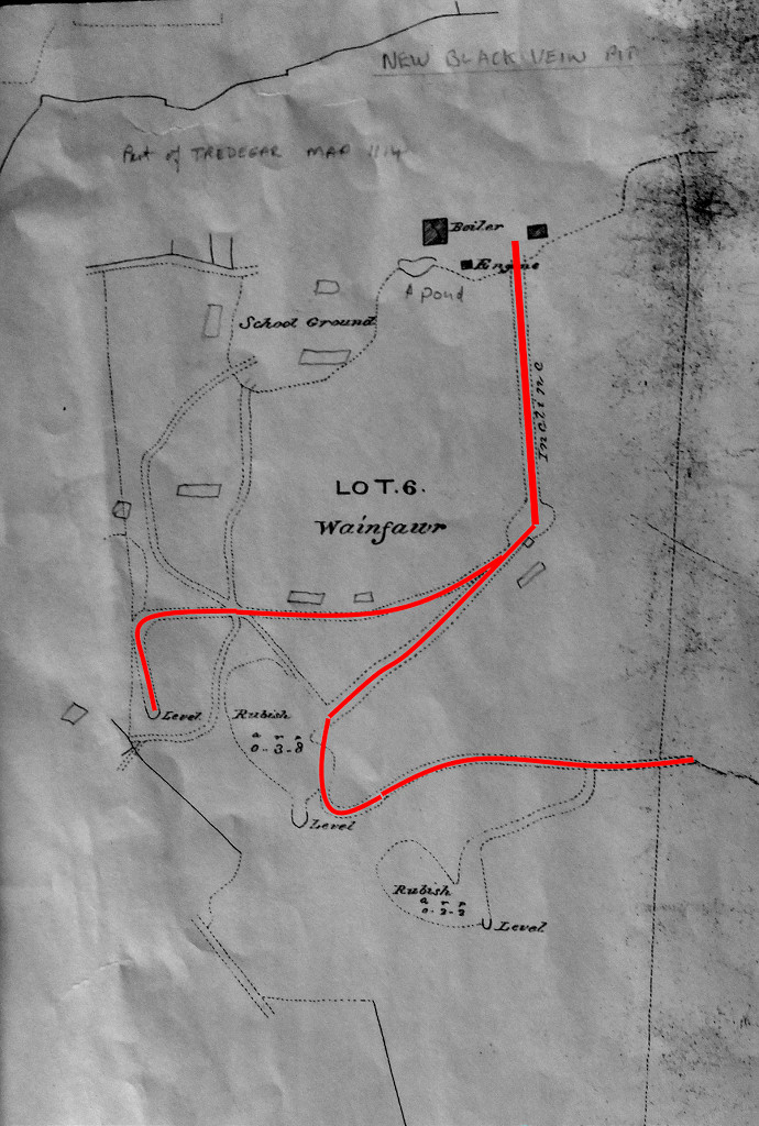
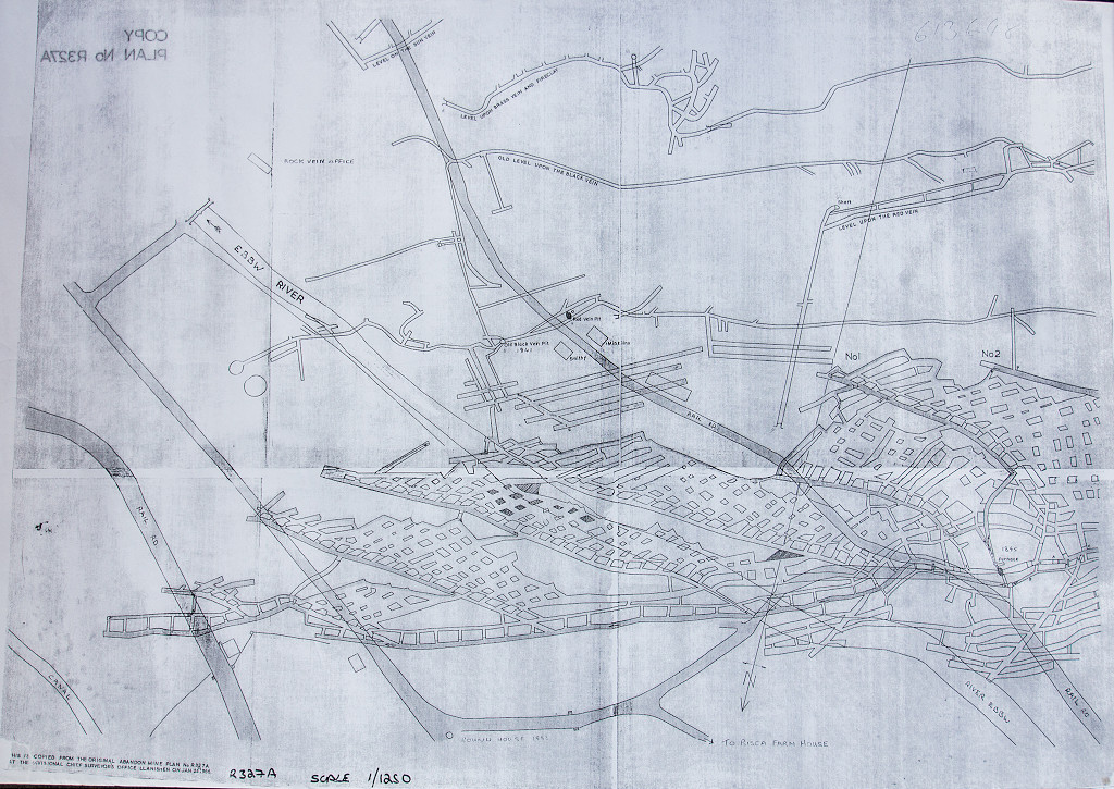 NCB abandonment plans |
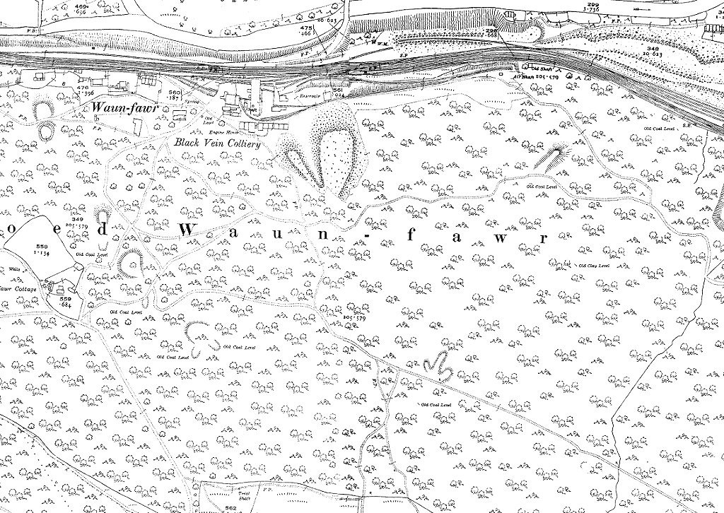
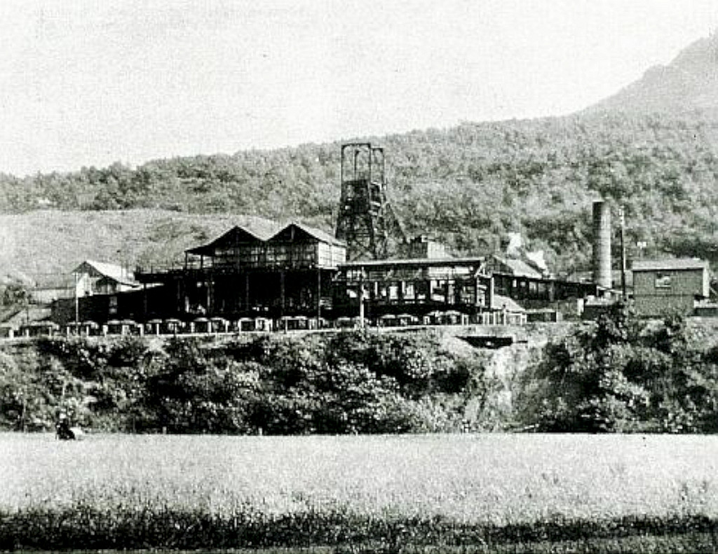
 Blackvein Colliery, early period |
 Blackvein Colliery, early period |
|
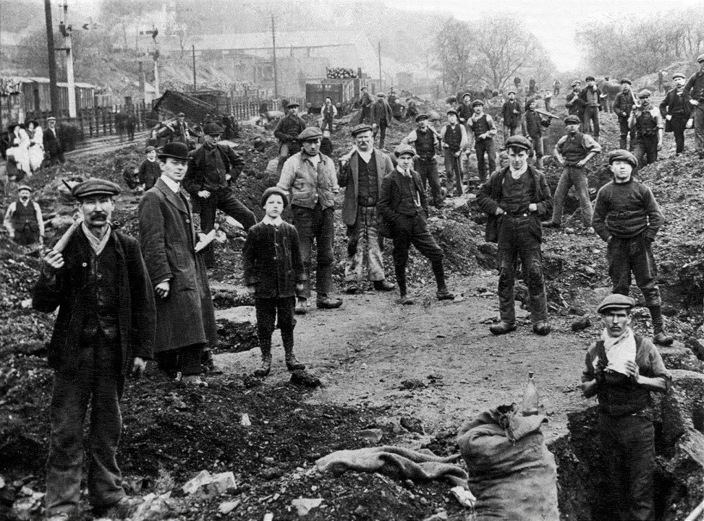 National Coal Strike, 1912 |
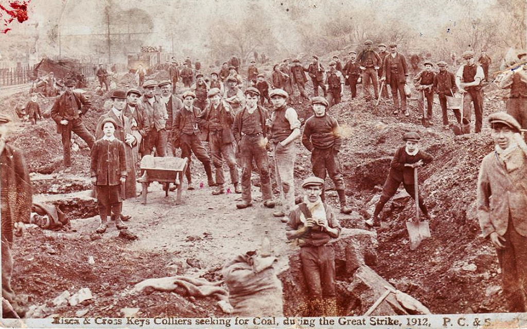 National Coal Strike, 1912 |
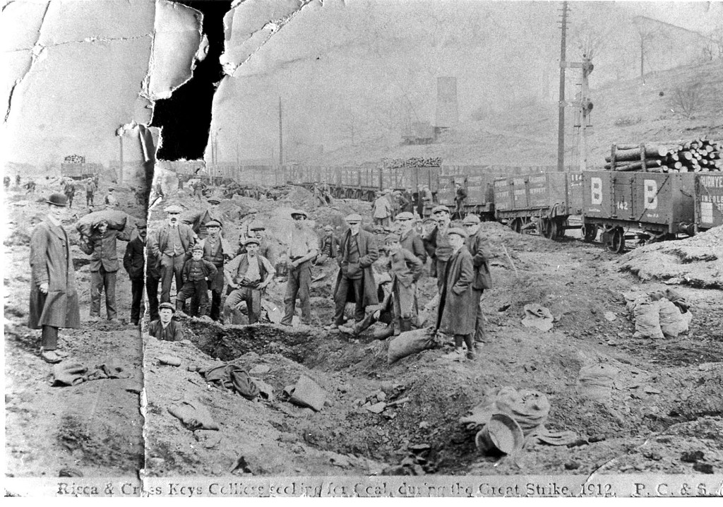 National Coal Strike, 1912 |
 Blackvein Colliery, middle period |
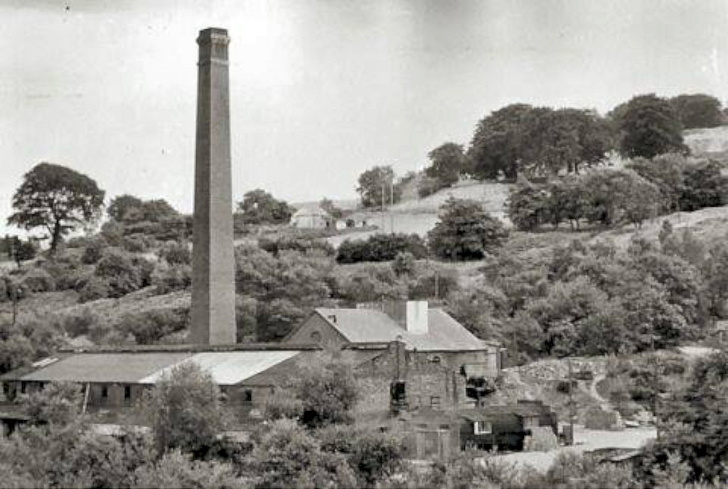
 Blackvein Colliery, later period |
 Blackvein Colliery, later period |
 Blackvein Colliery, later period |
 Blackvein Colliery, later period |
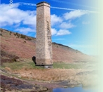
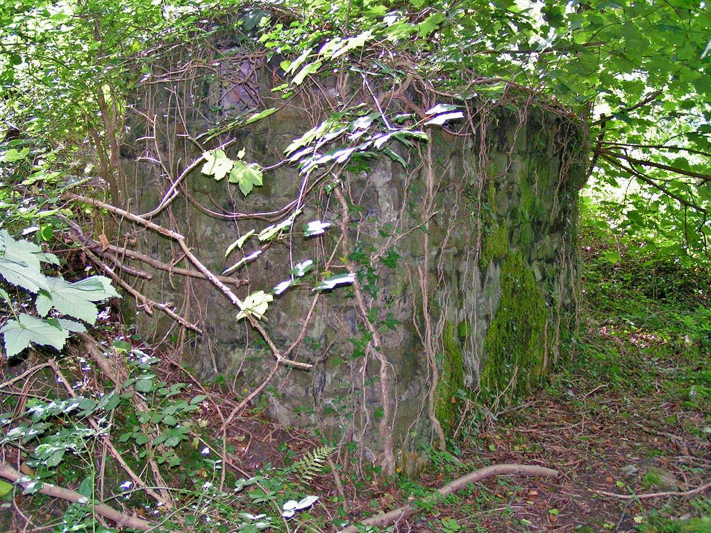
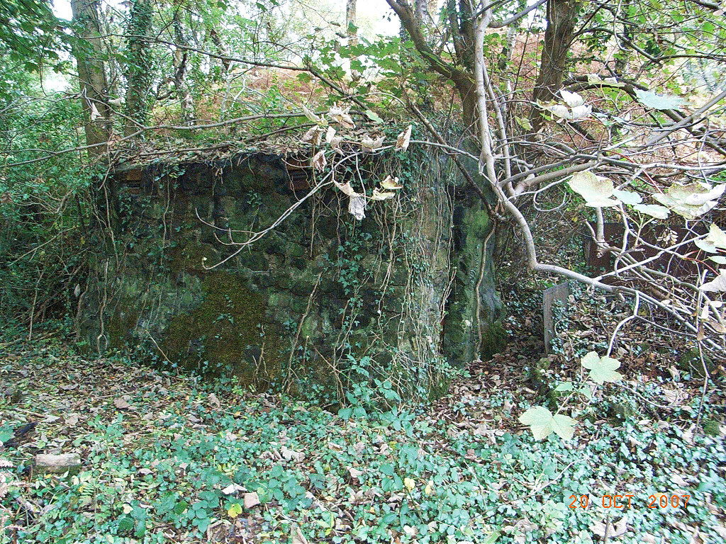
 Blackvein Colliery engine house |
 Blackvein Colliery engine house |
 Jack-y-North Colliery shaft |
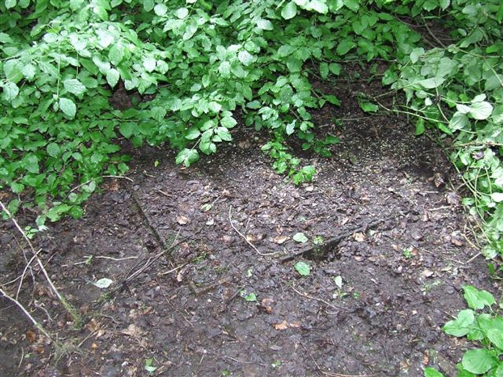
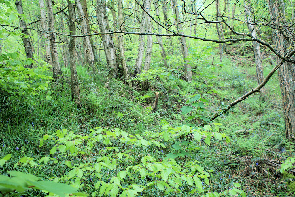
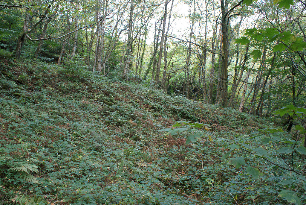
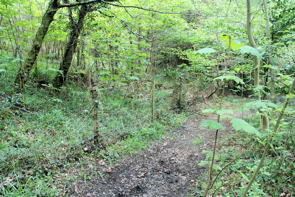
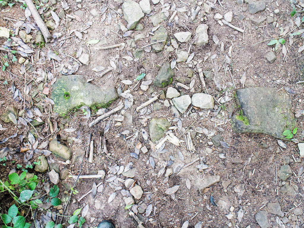
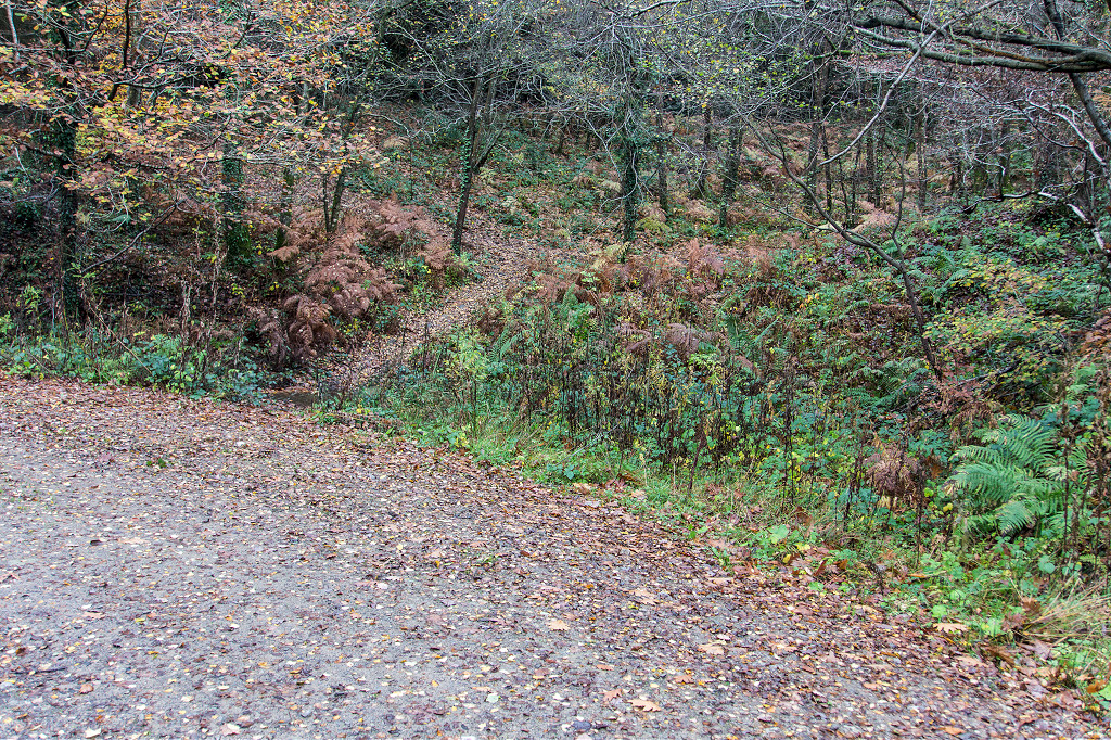
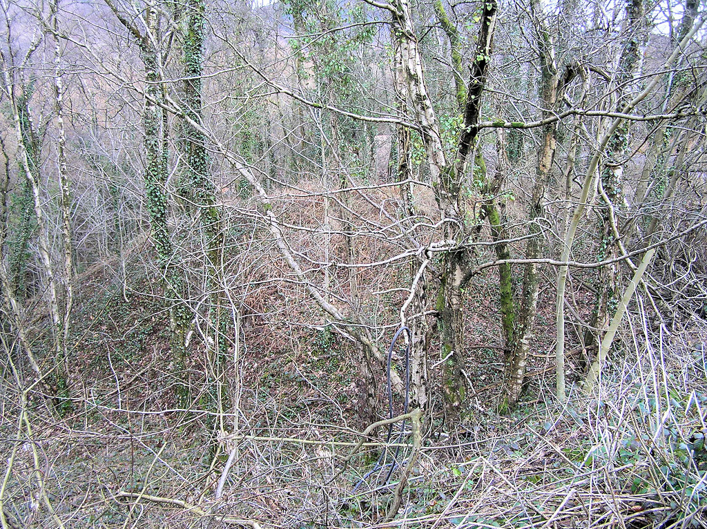
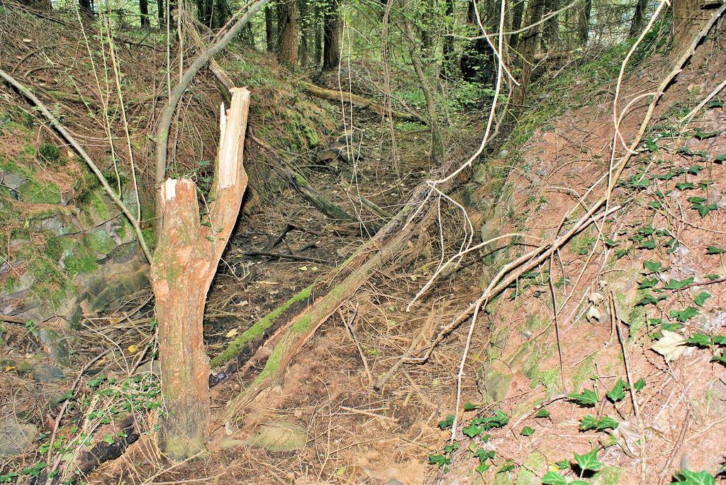
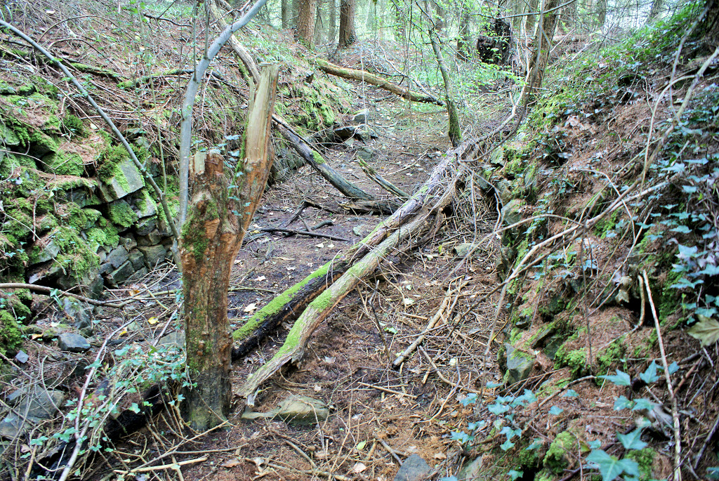
 South of Blackvein Colliery |
 South of Blackvein Colliery |
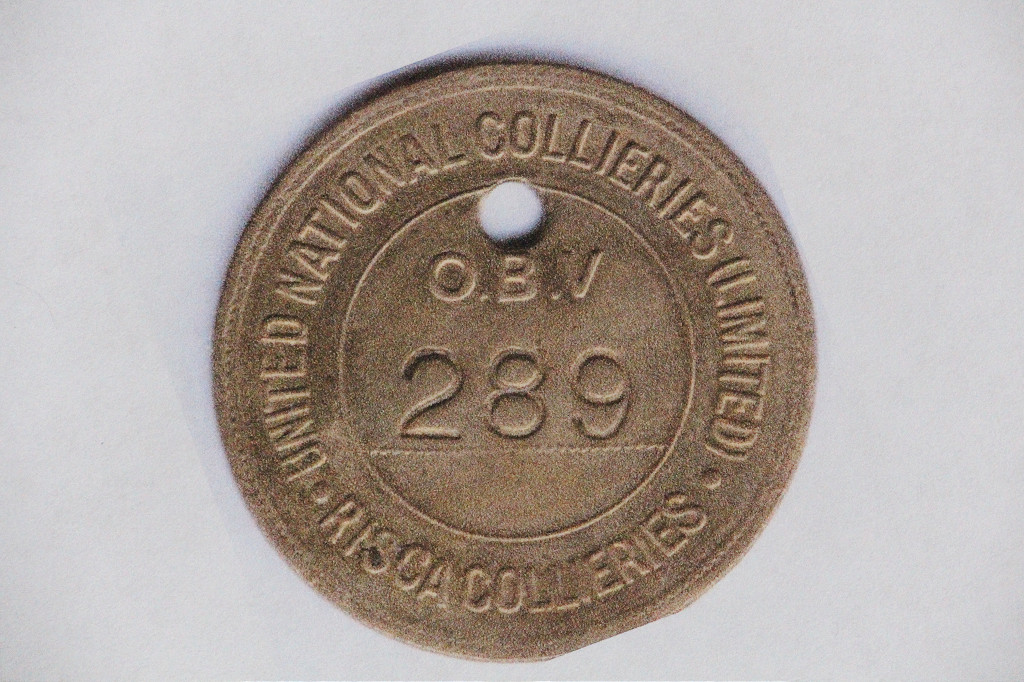 Risca Blackvein lamp check |
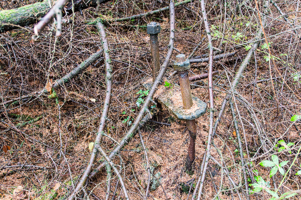
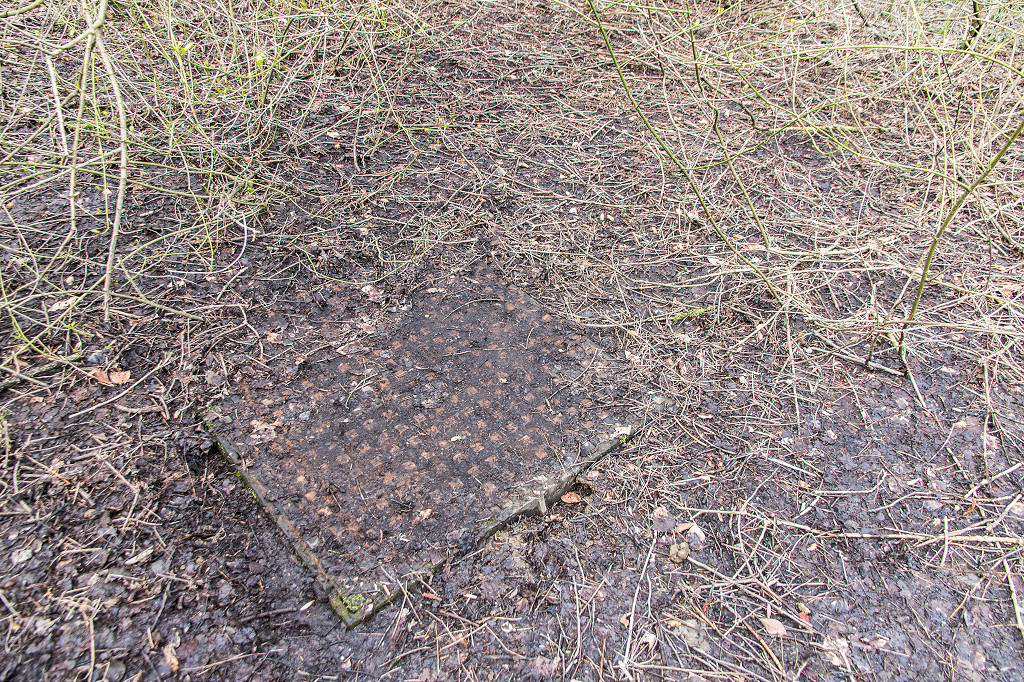 The manhole at the shafts |
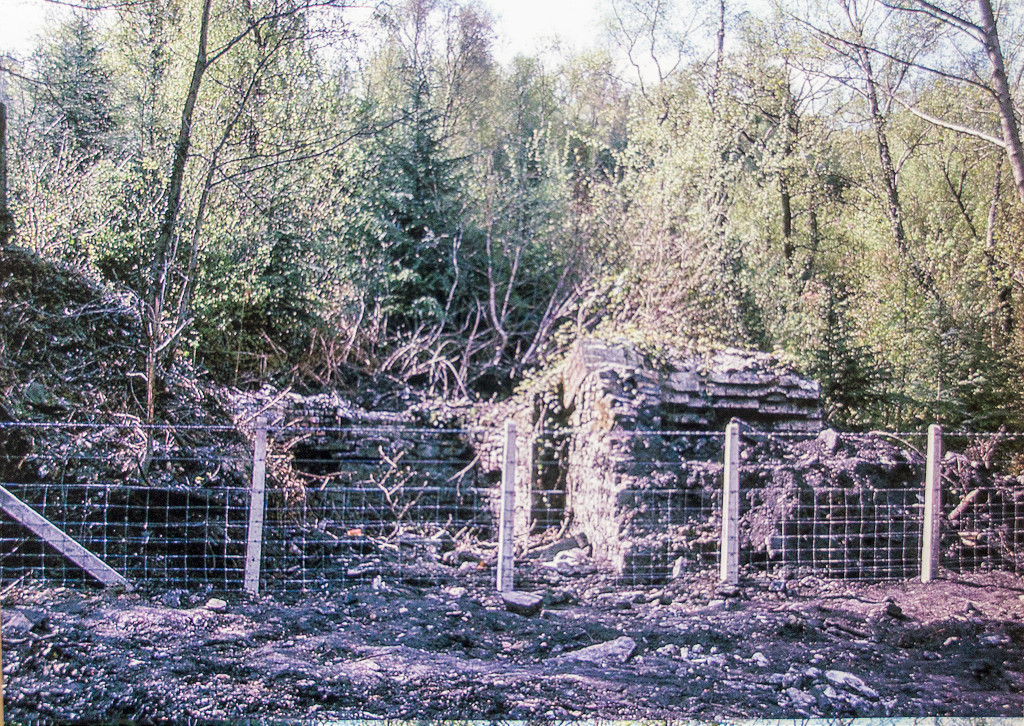
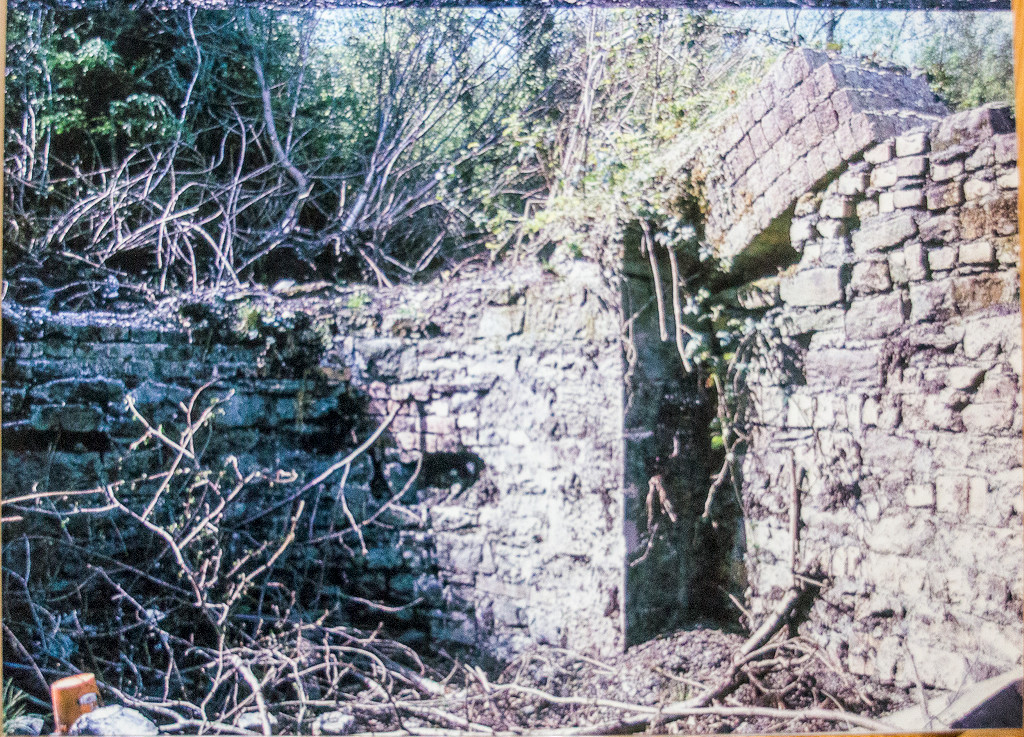
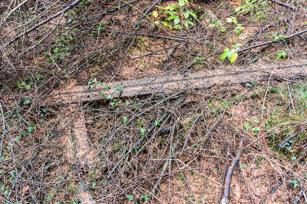
 Risca Blackvein capped shafts |
 Risca Blackvein capped shafts |
 Risca Blackvein capped shafts |
 Risca Blackvein capped shafts |
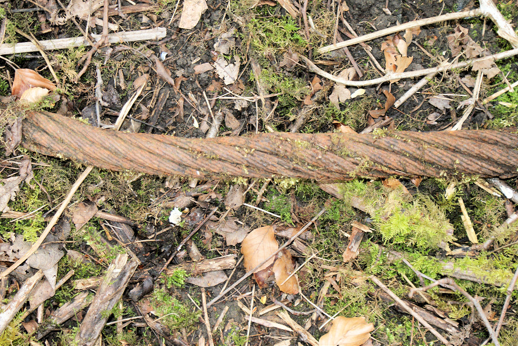 Wire cable next to shafts |
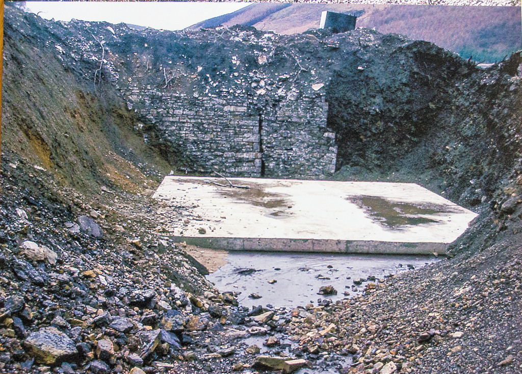
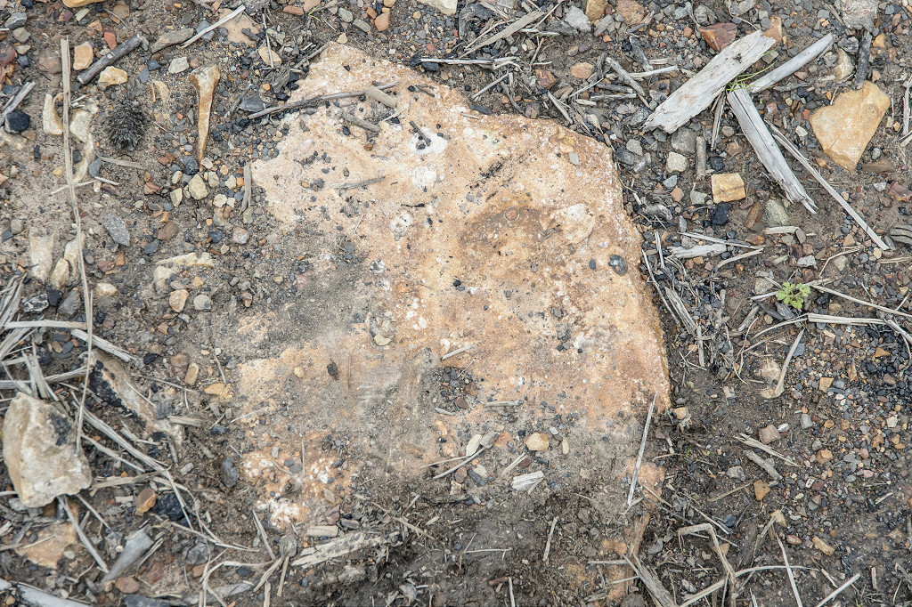
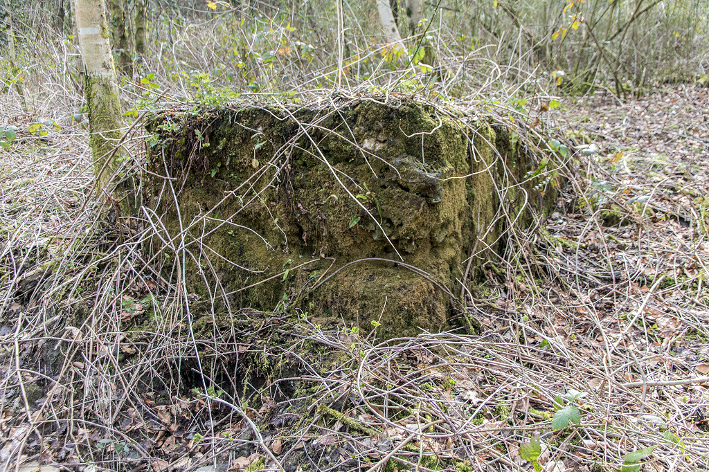 Concrete block behind shafts |
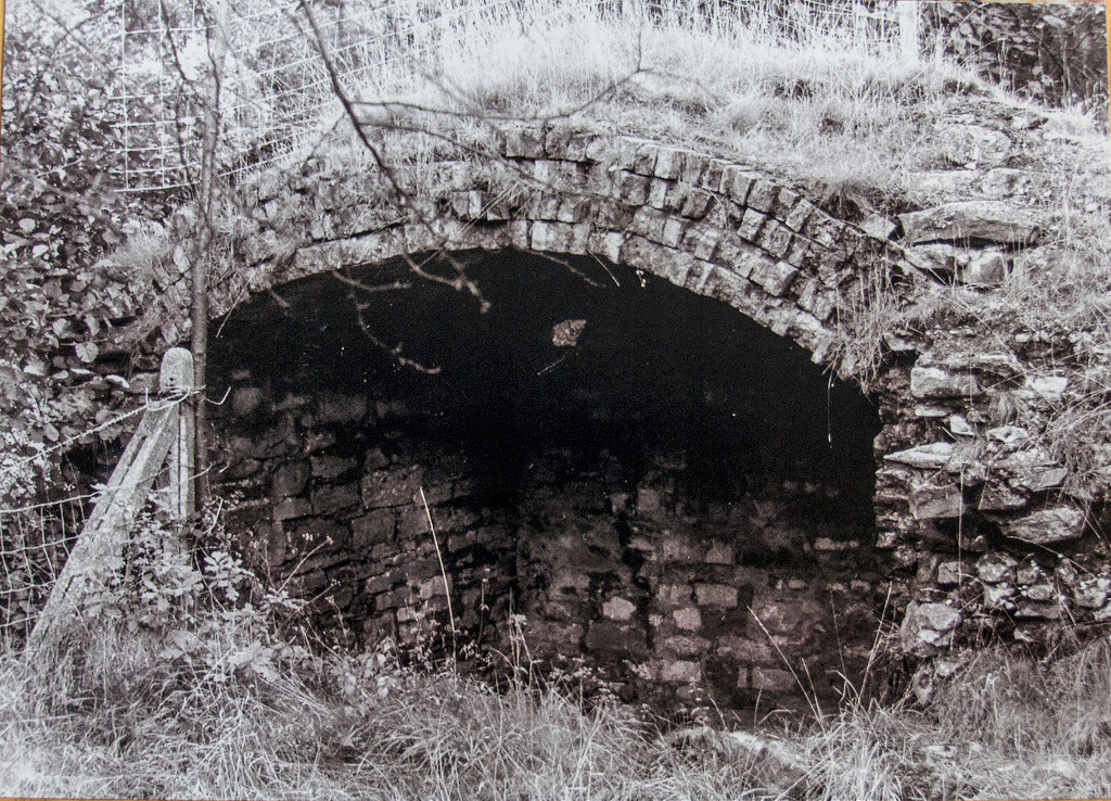
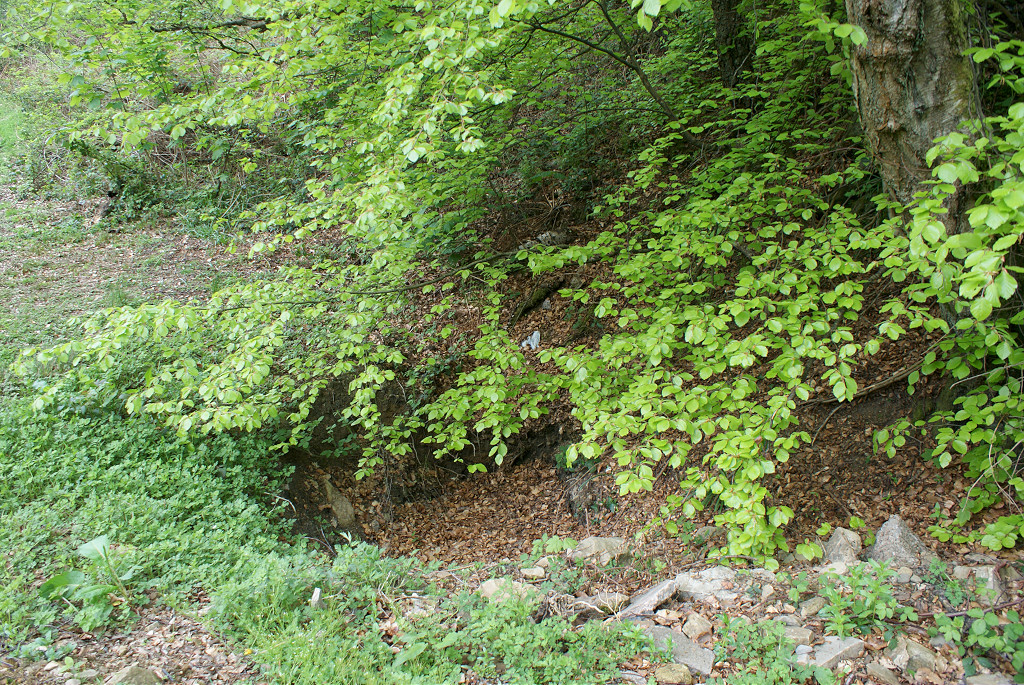
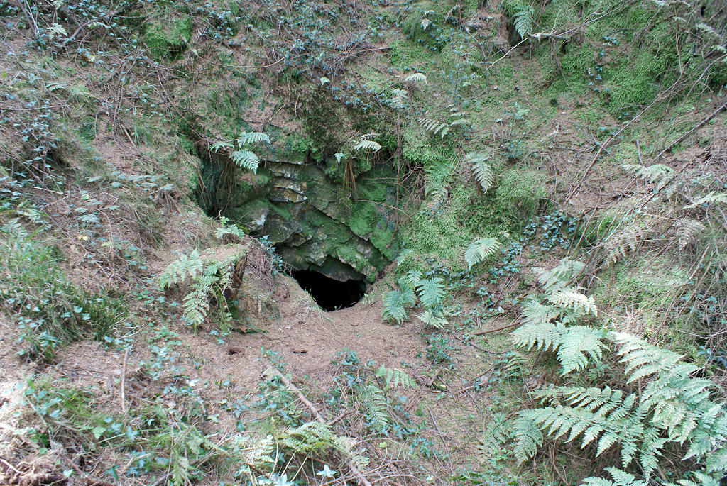
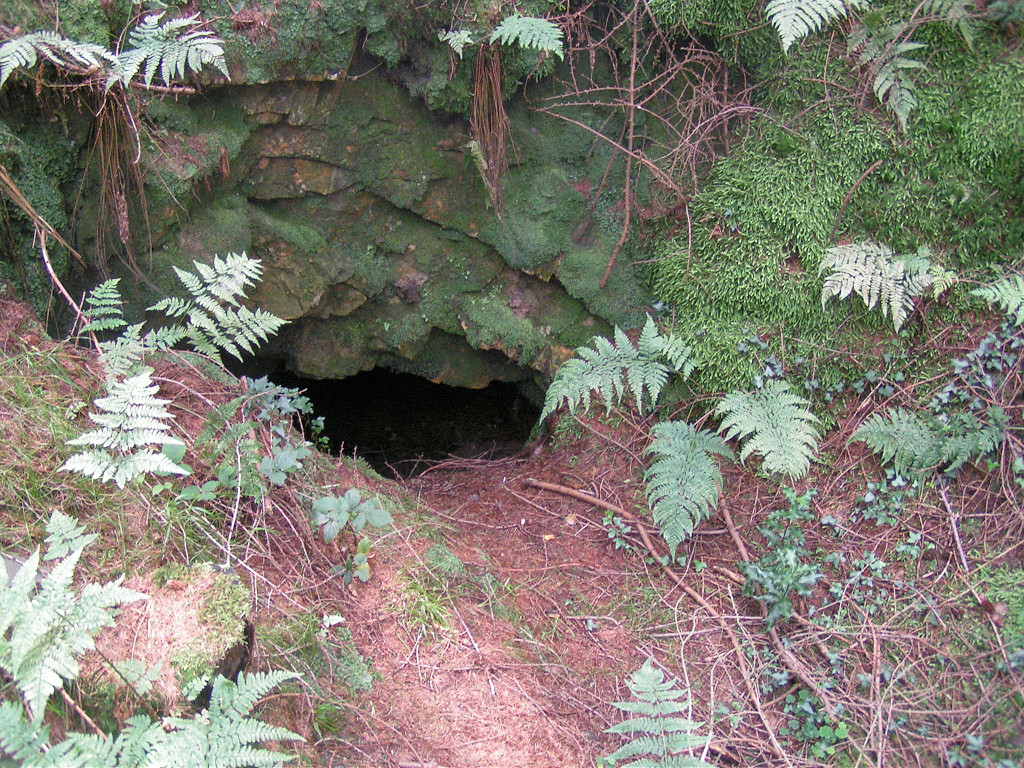
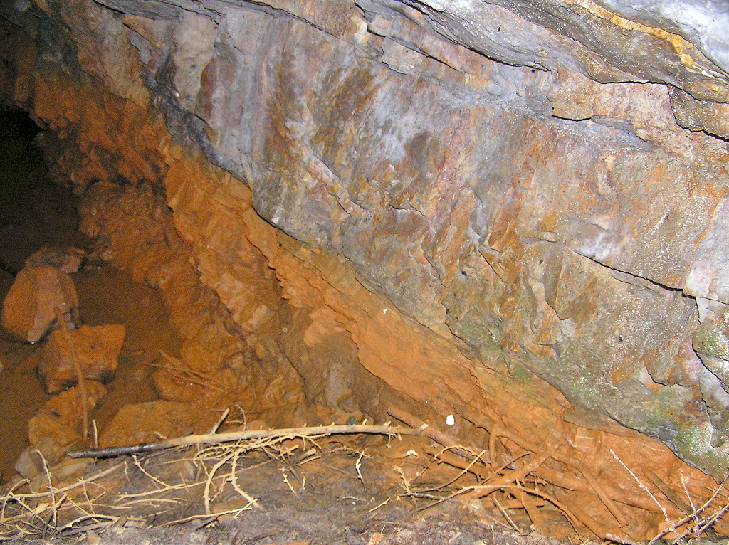
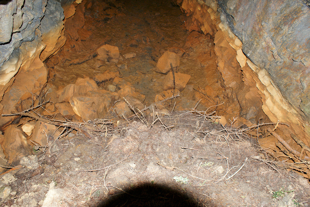
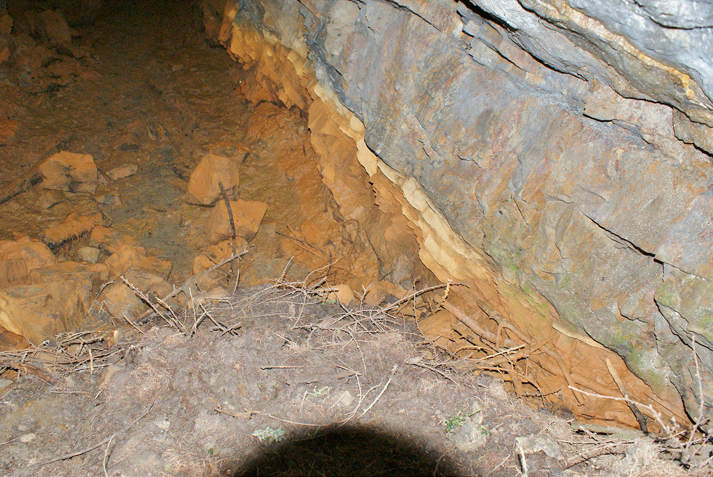
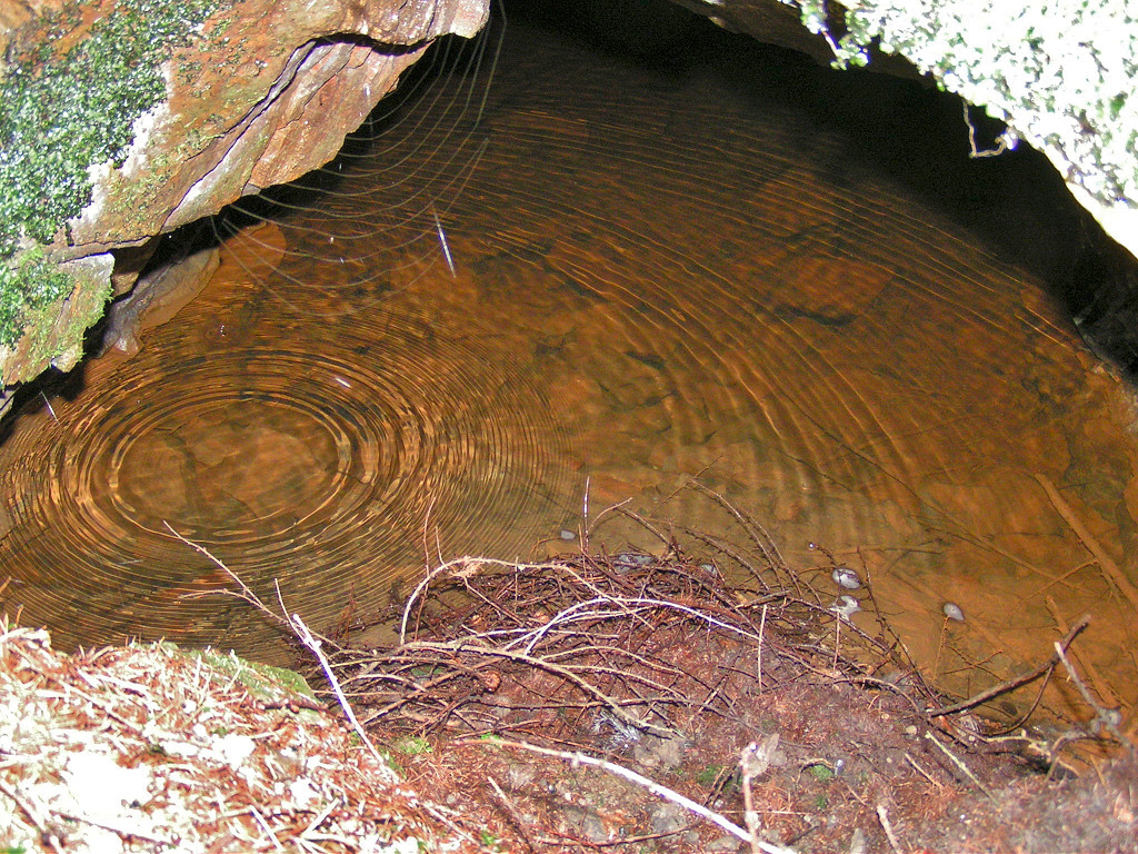
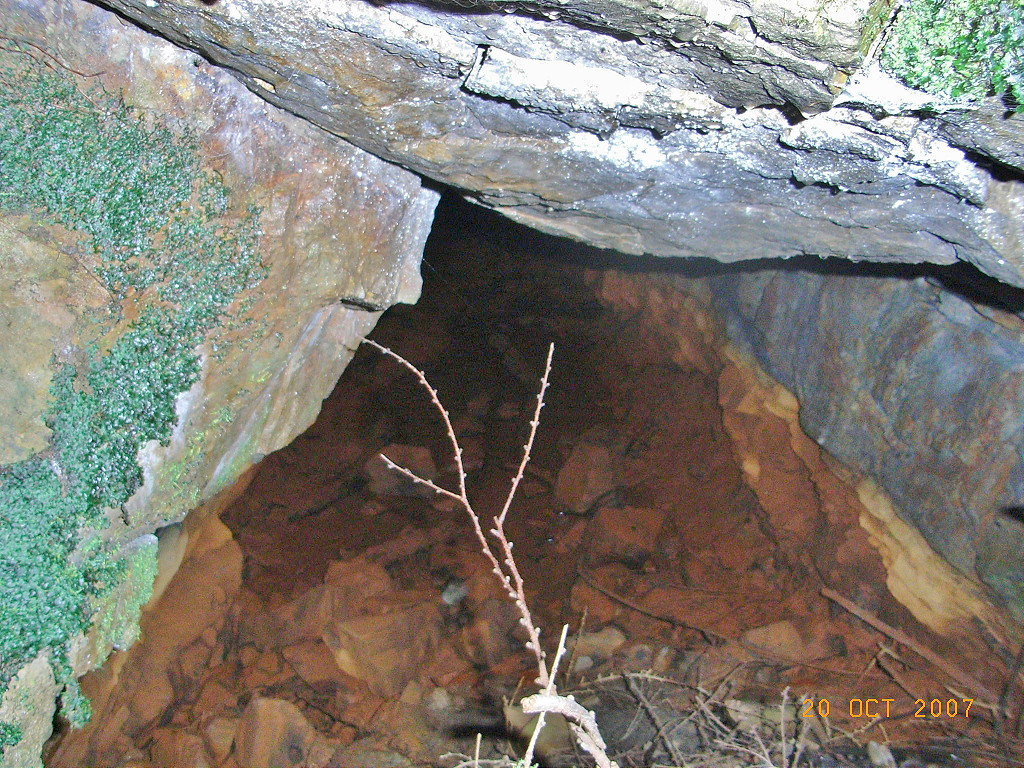
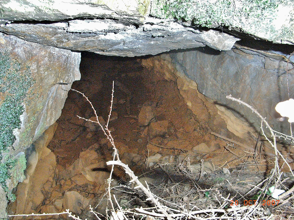
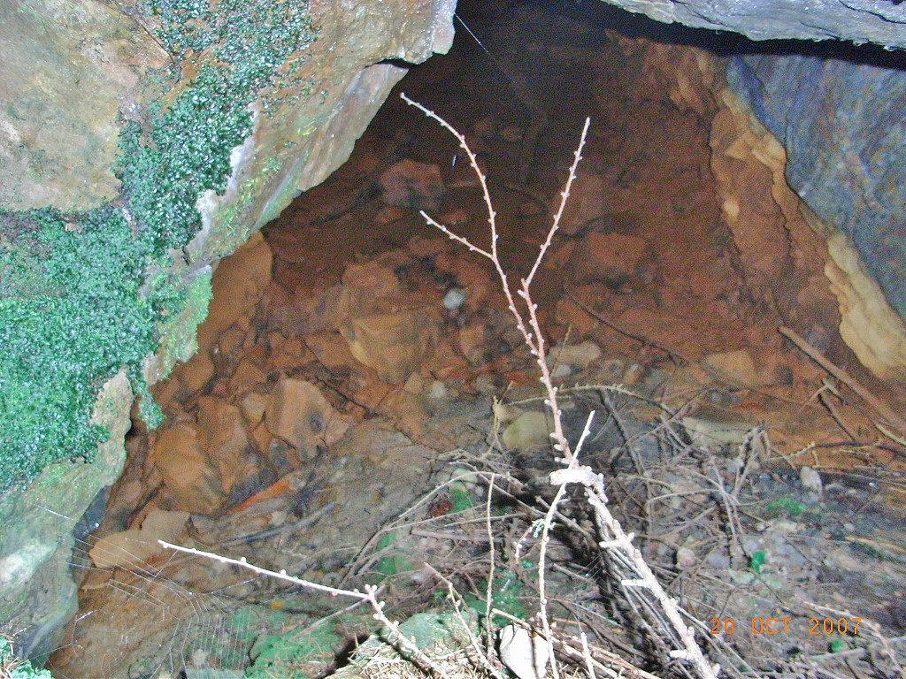
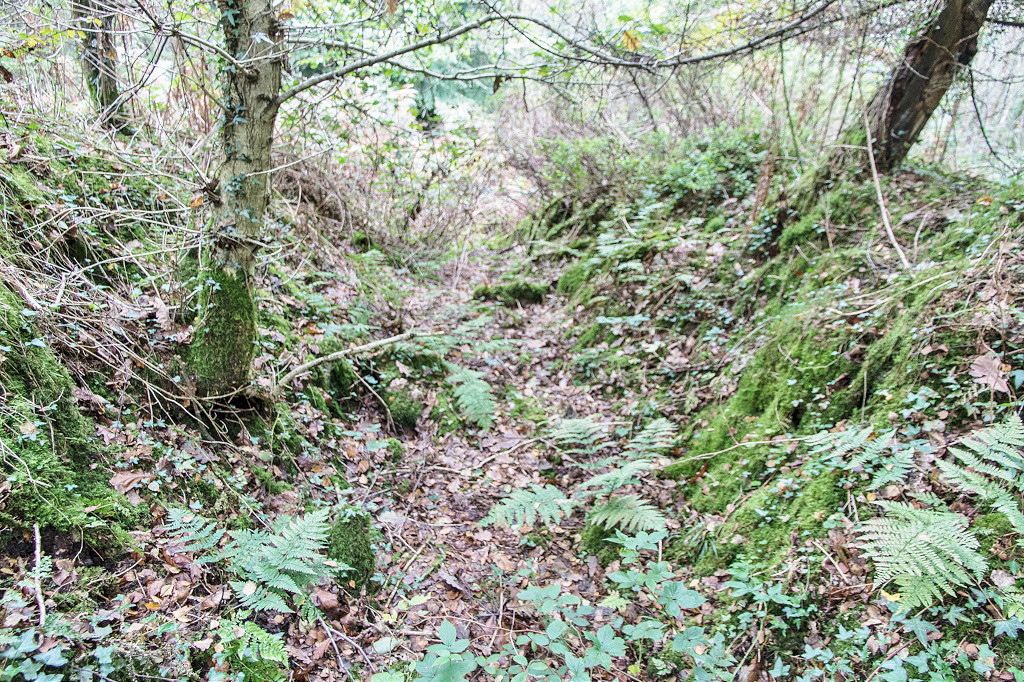
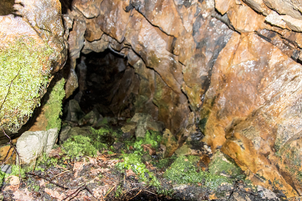
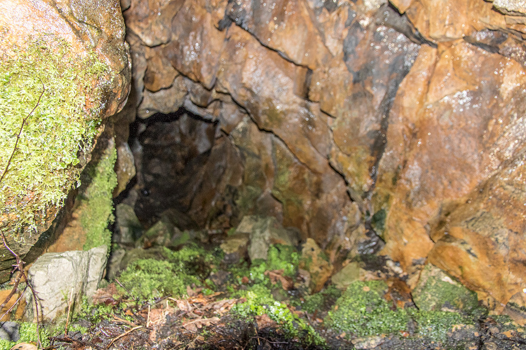
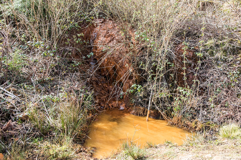 The 'orange' level |
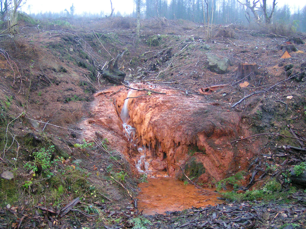 The 'orange' level |
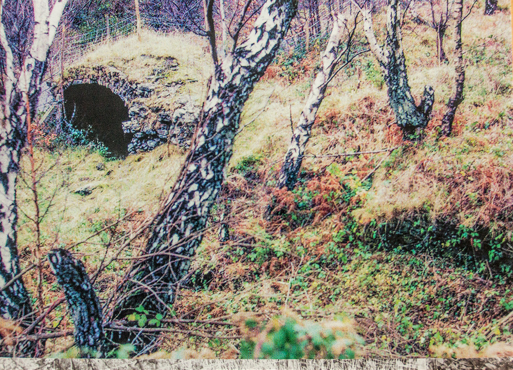
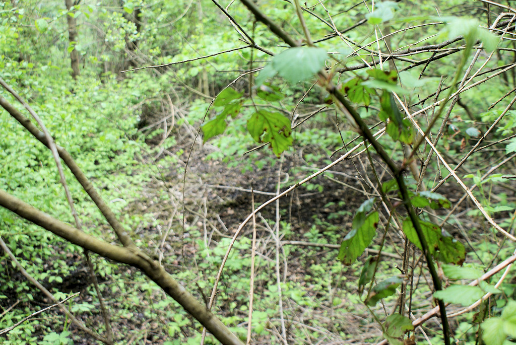
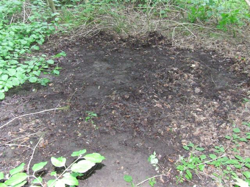
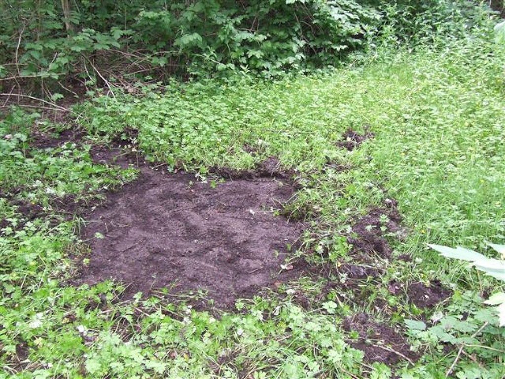
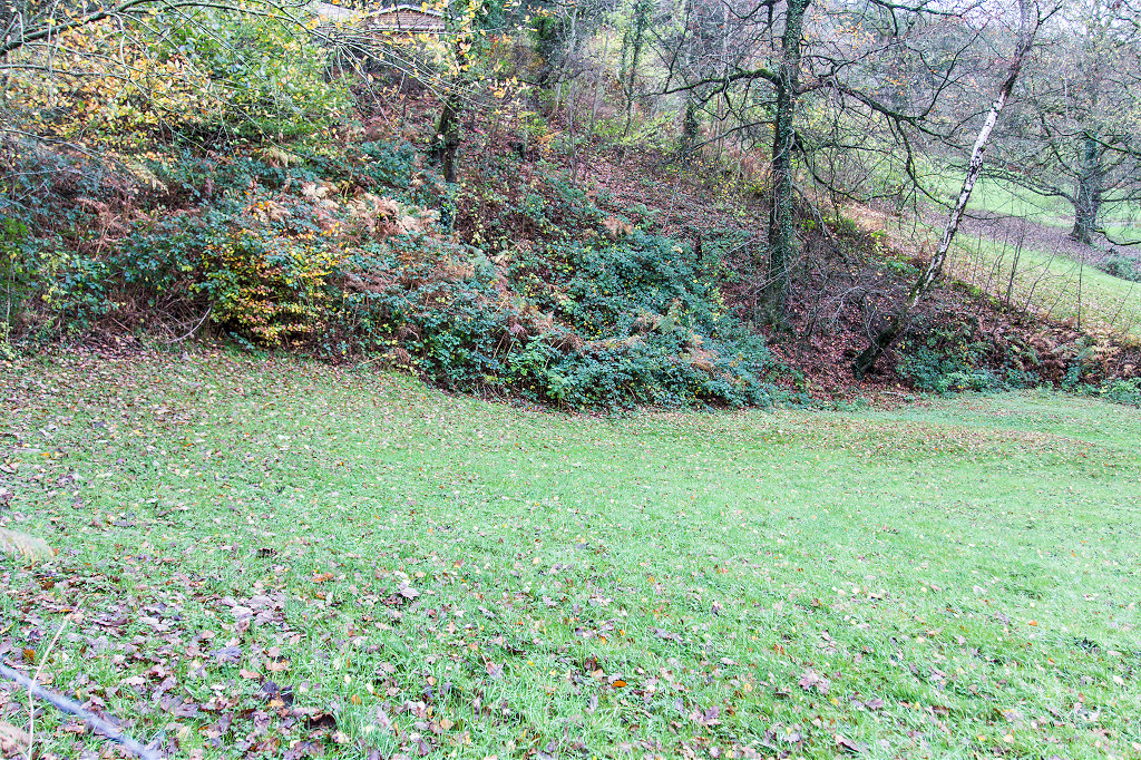
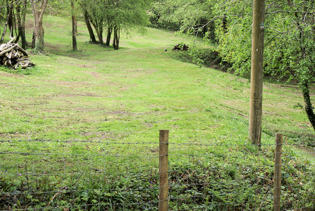
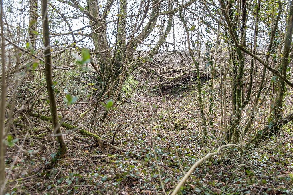
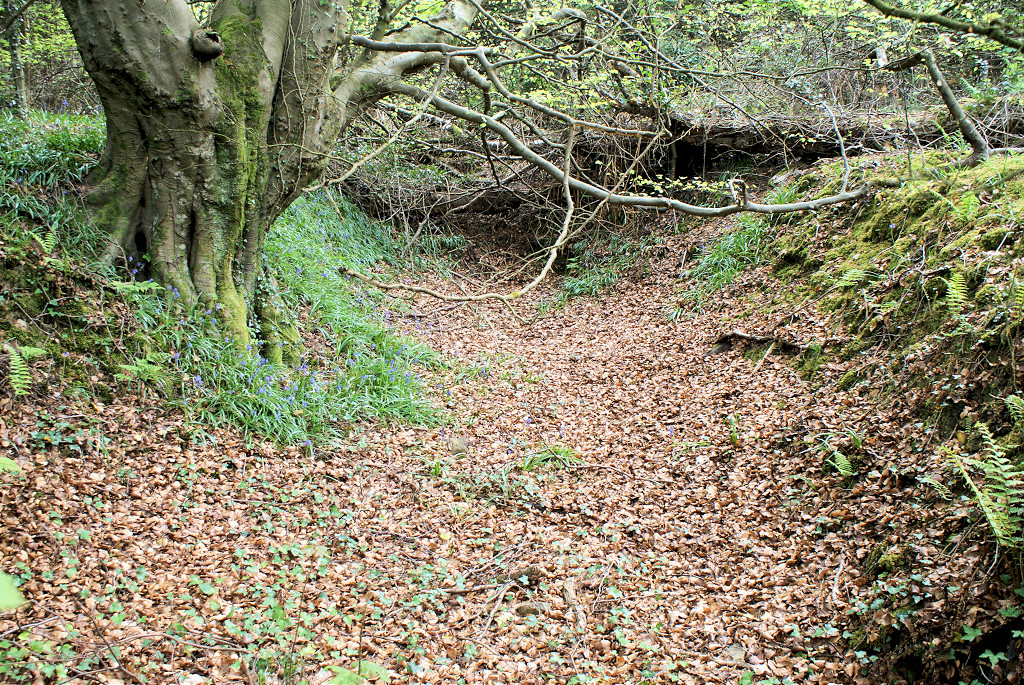
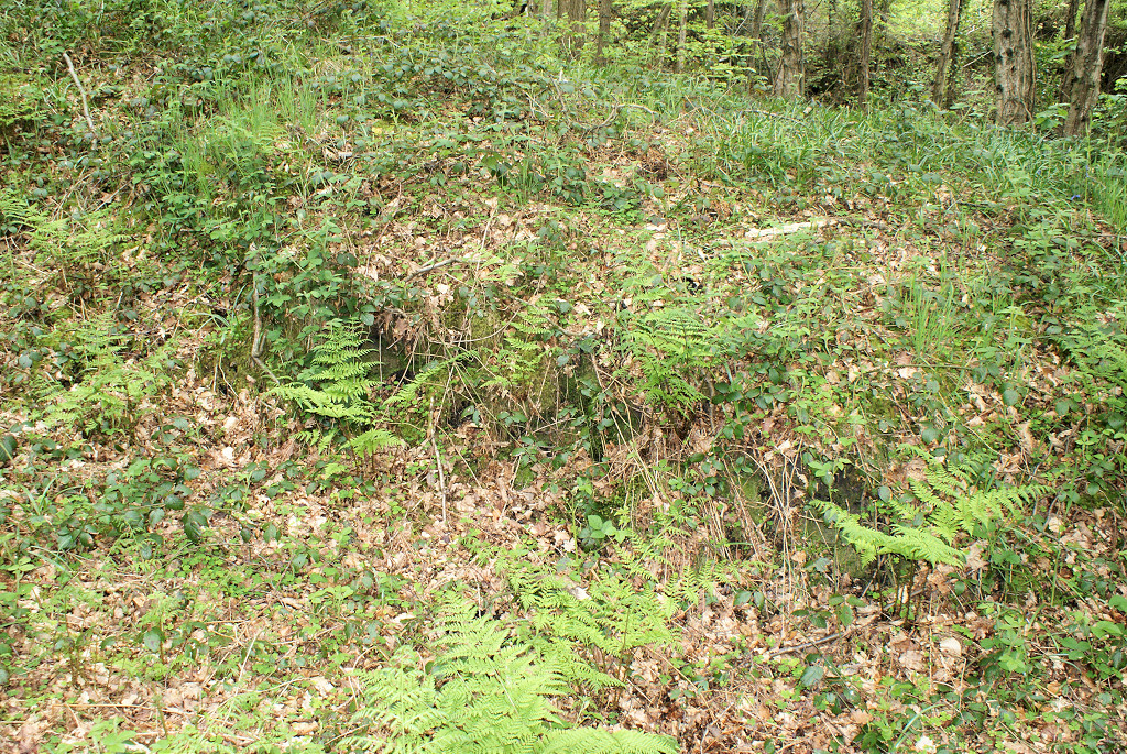
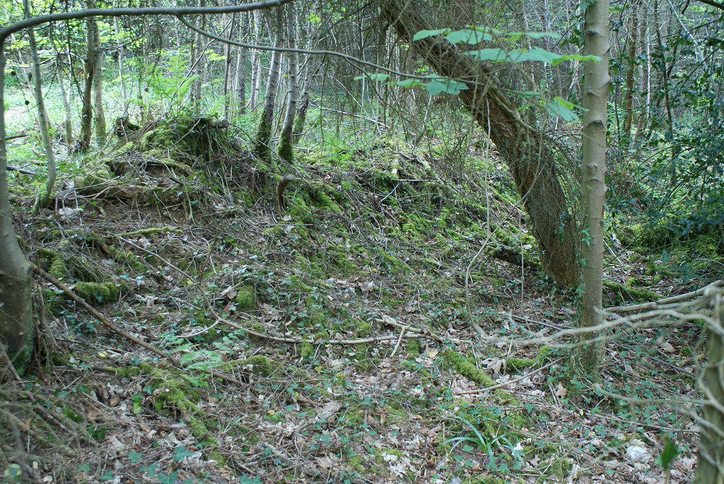
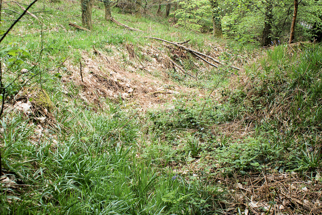
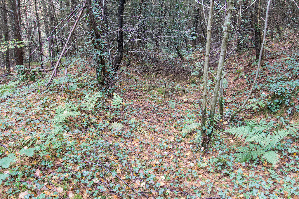
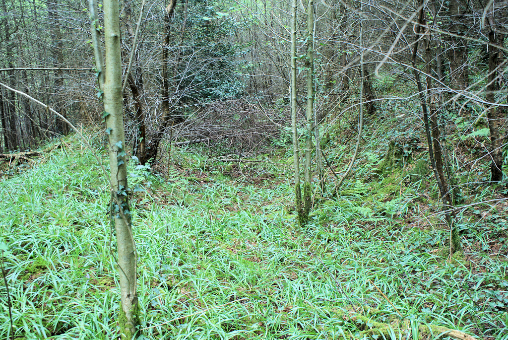
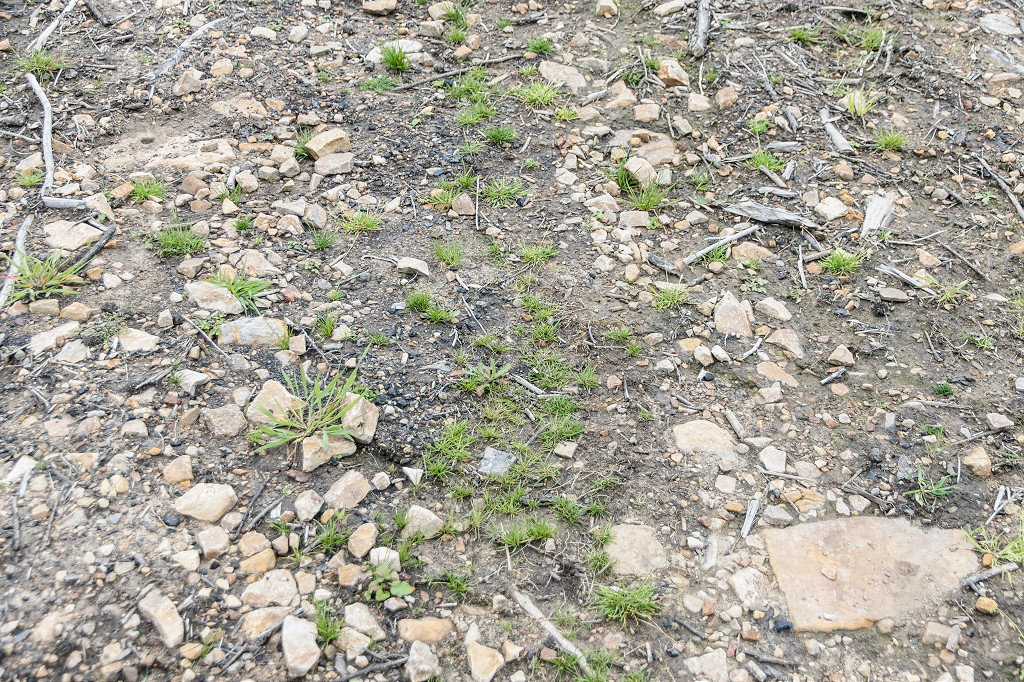
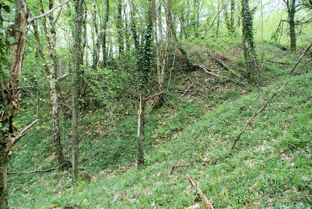
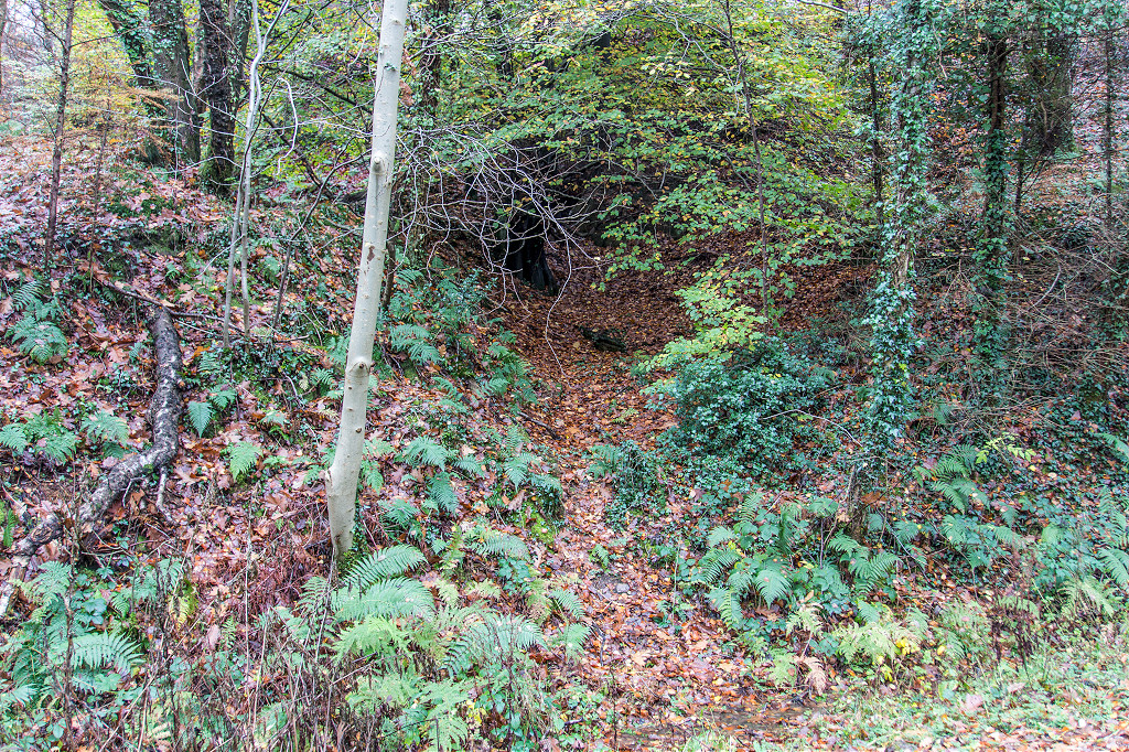
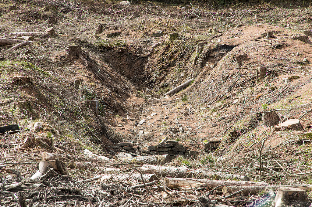
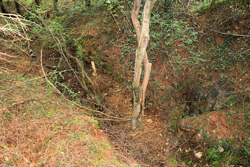
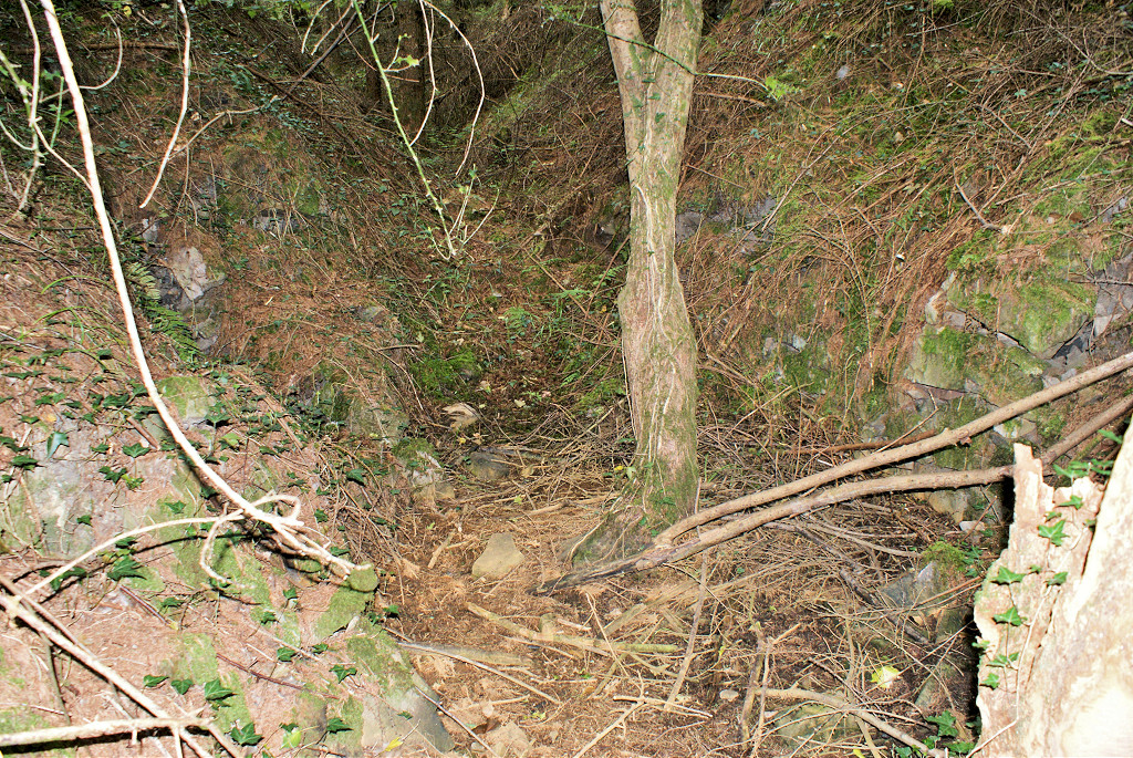
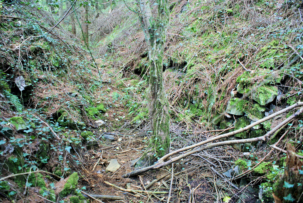
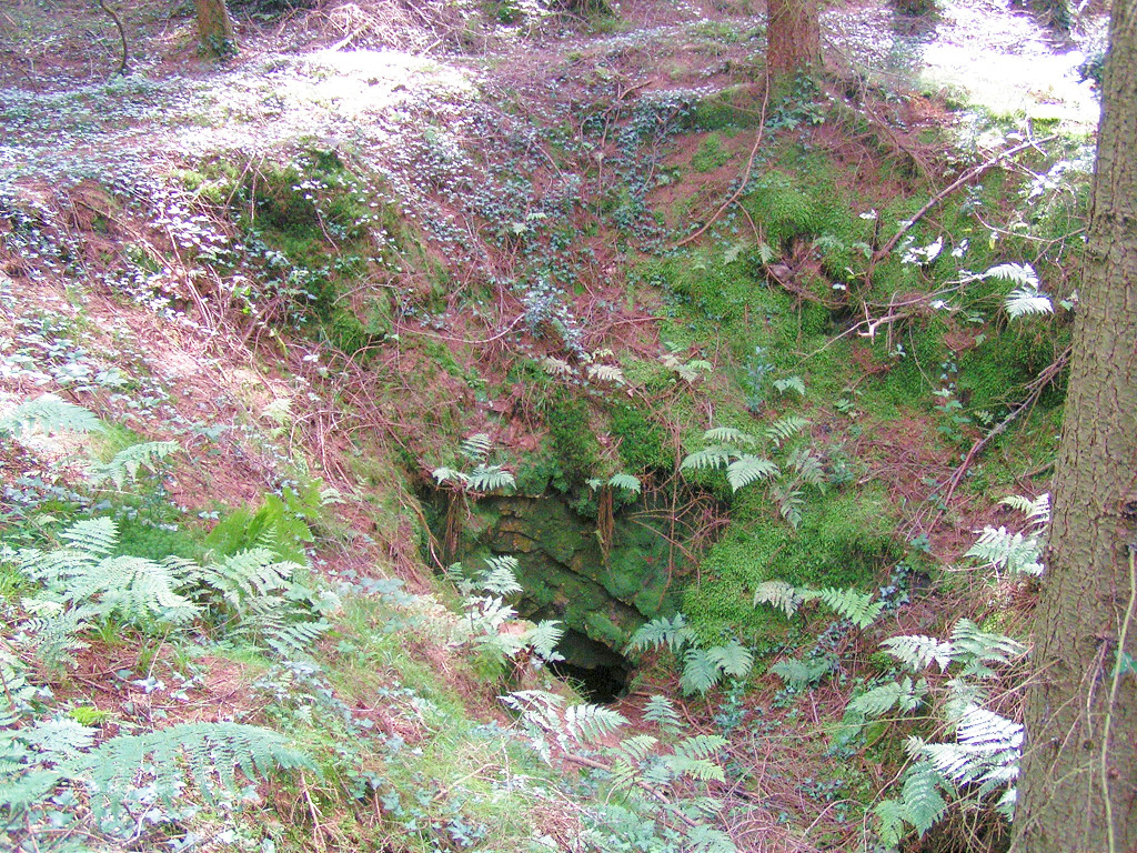
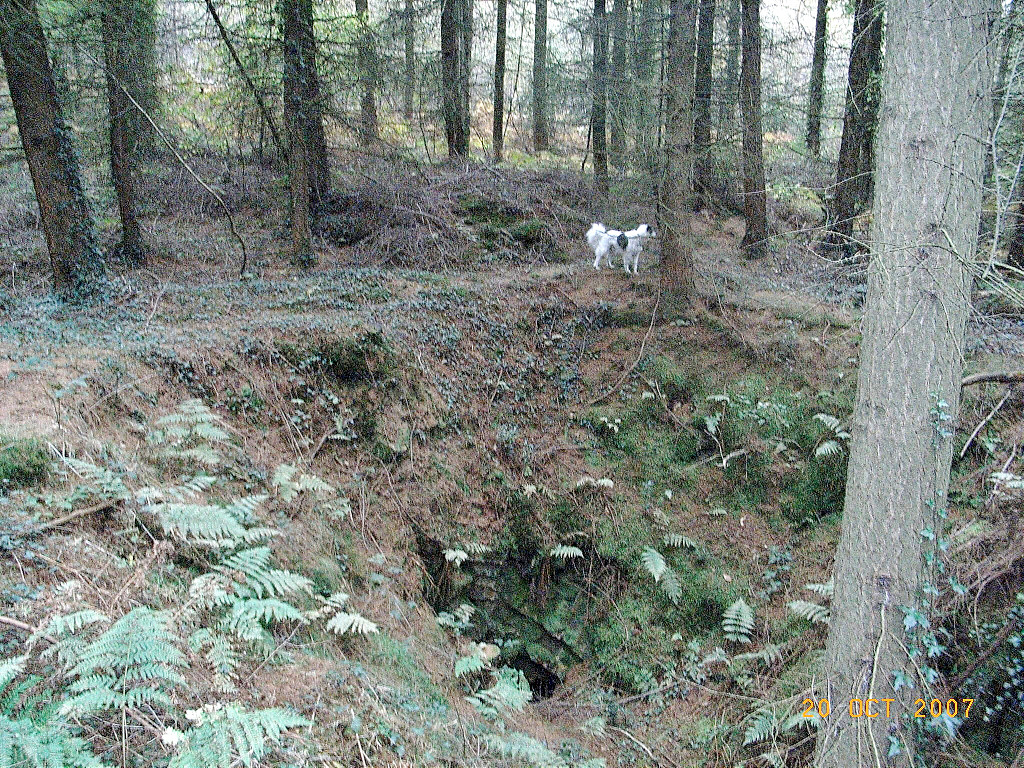
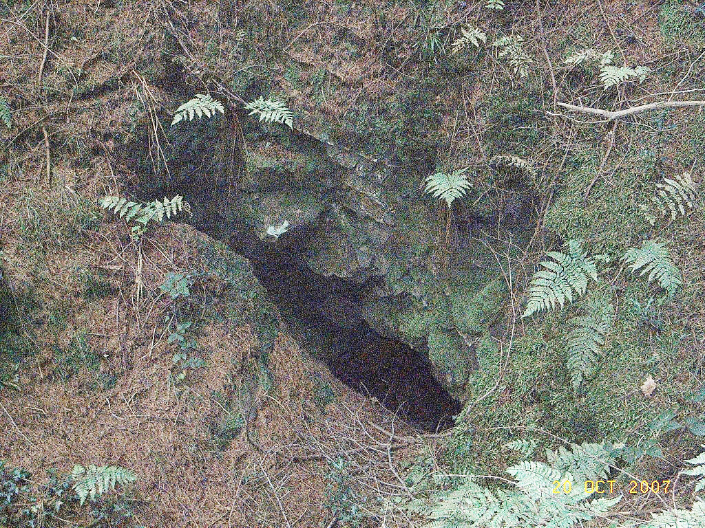
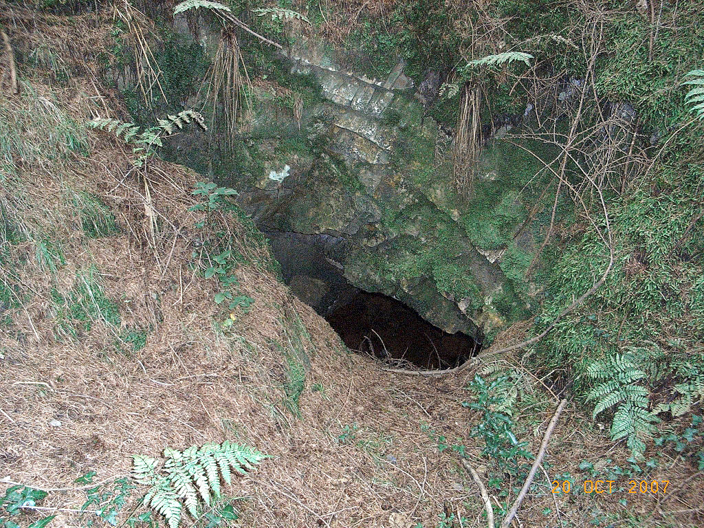
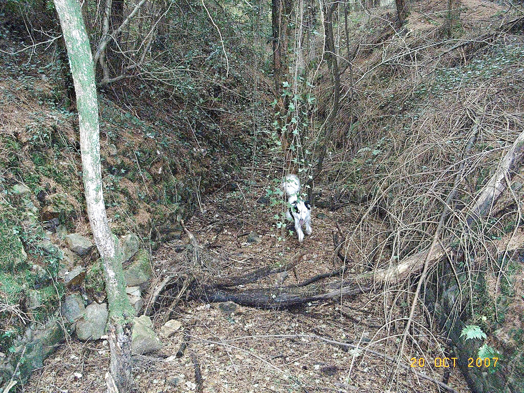
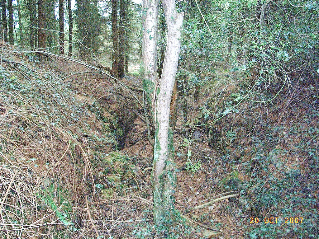
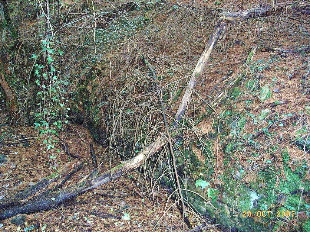
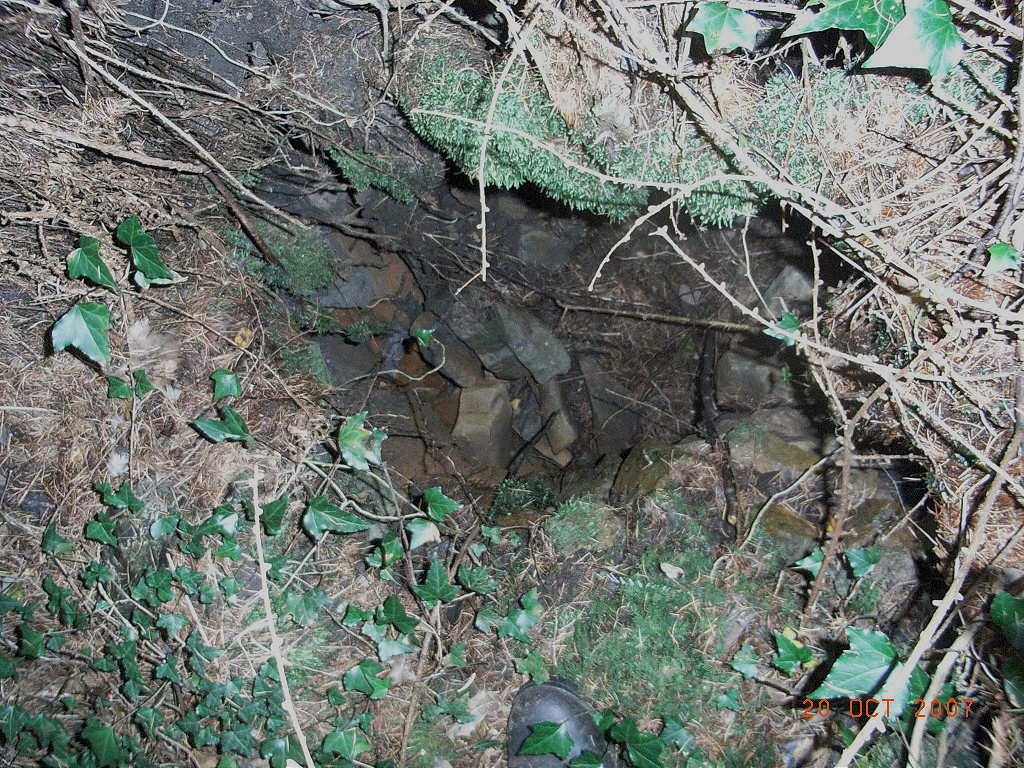
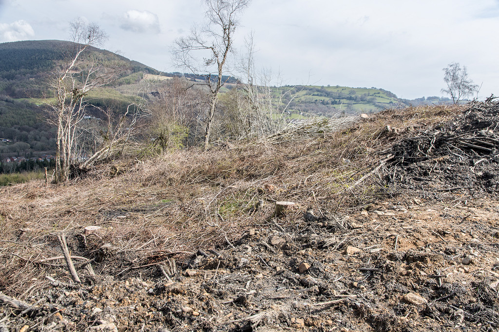
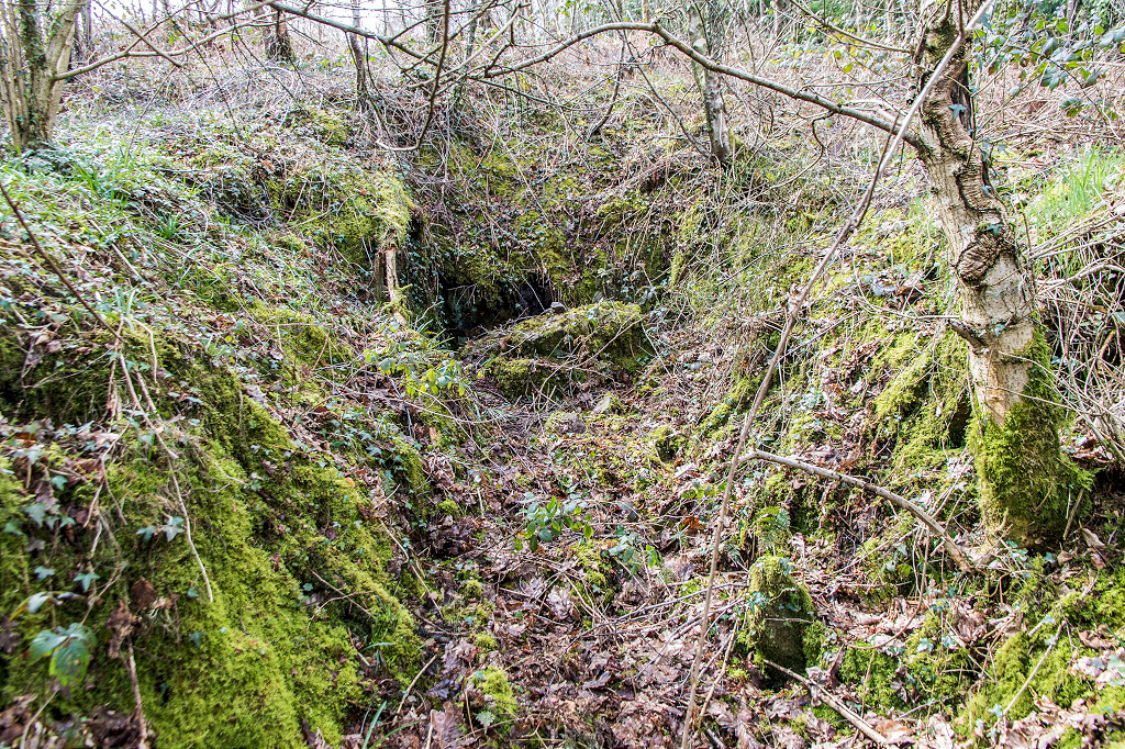
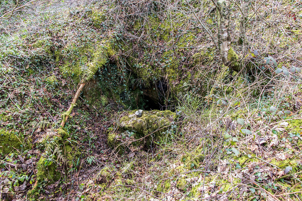
 Shaft or collapse on the hillside |
 Shaft or collapse on the hillside |
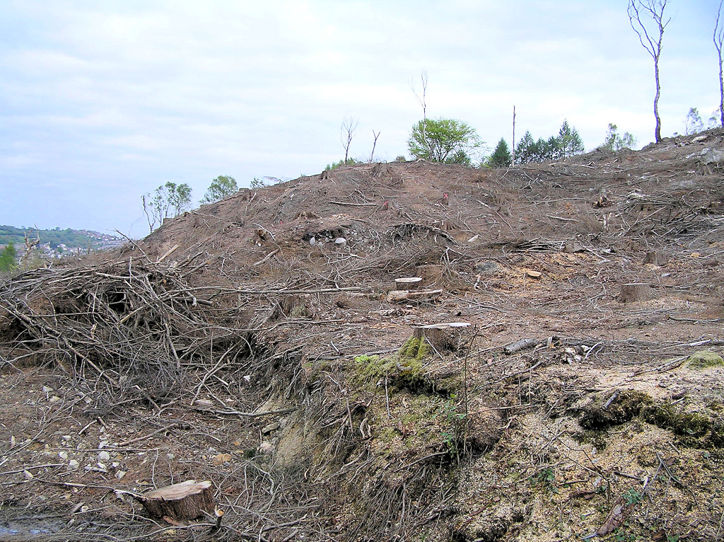
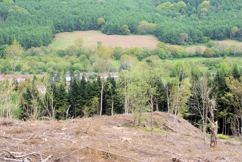
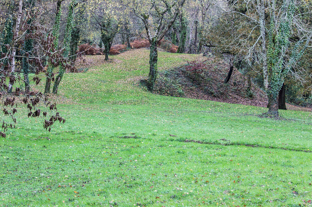
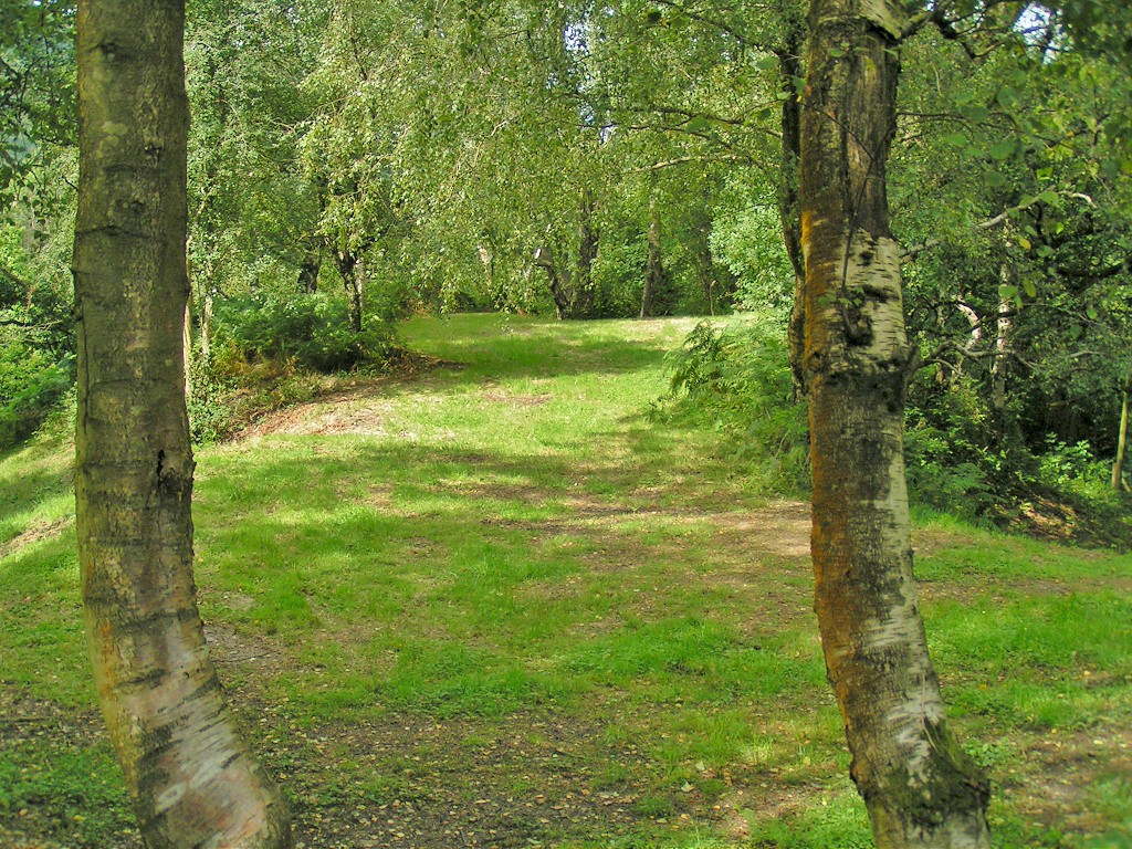
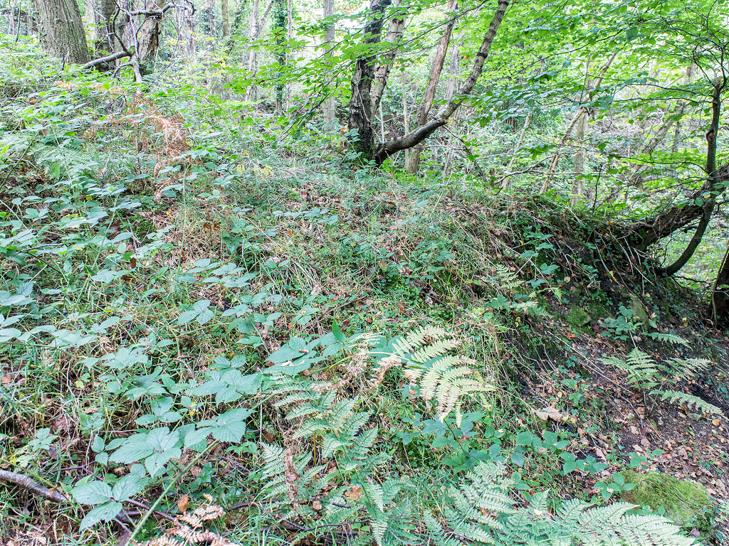
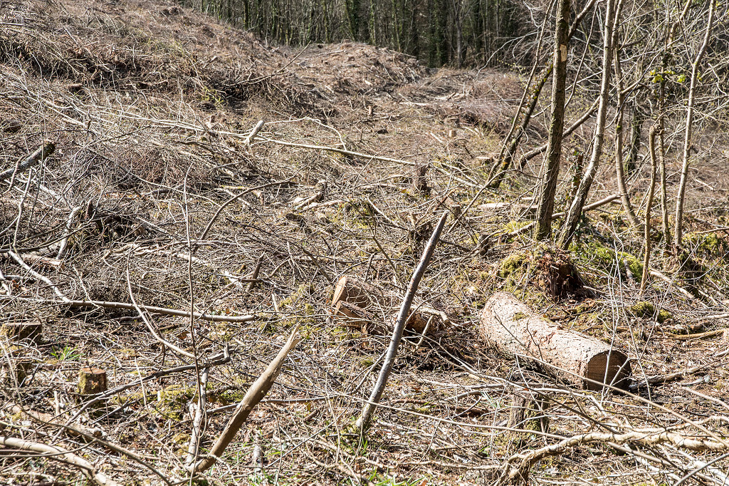
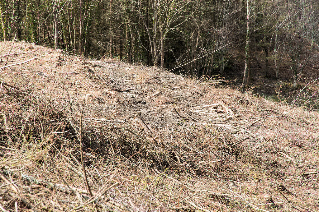
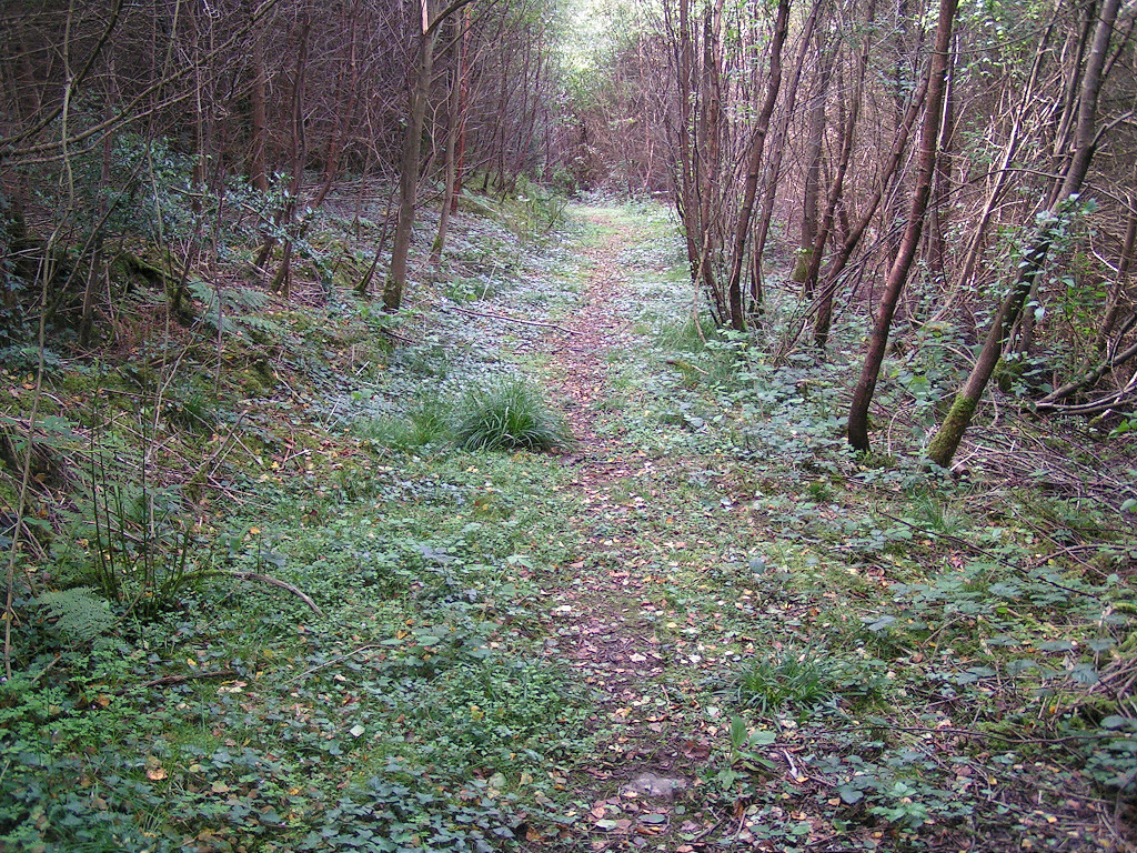
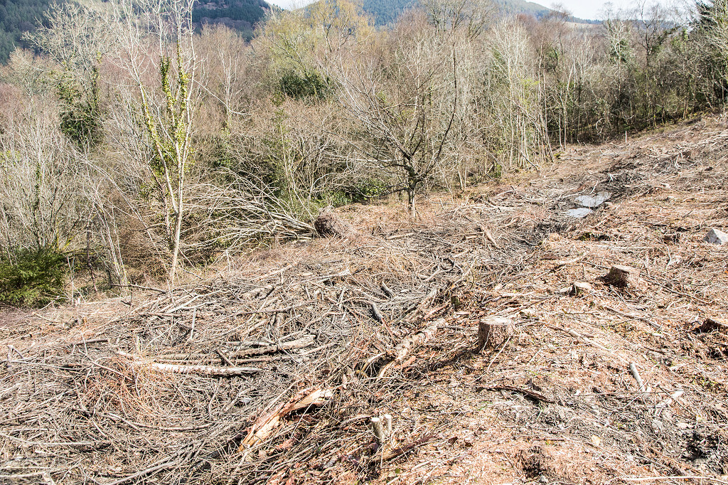
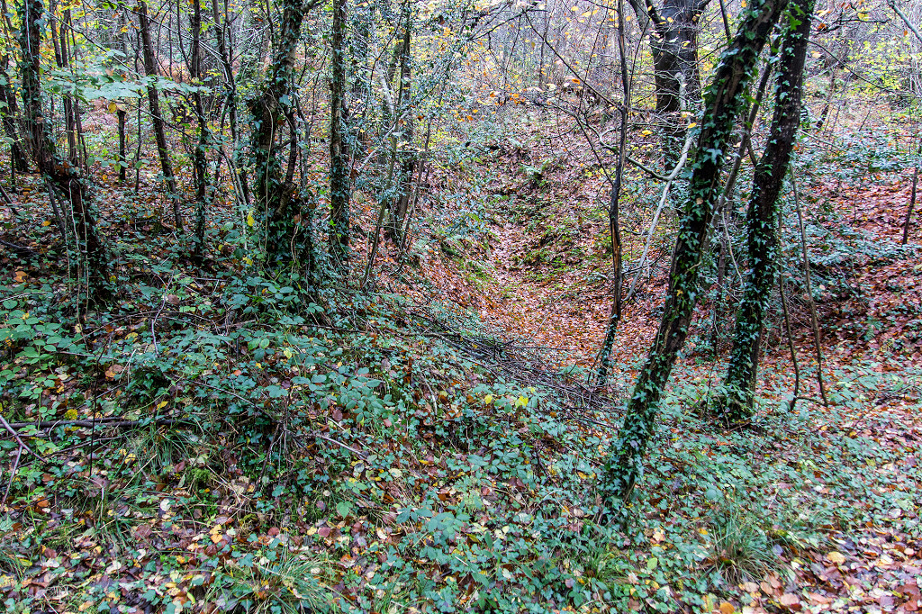
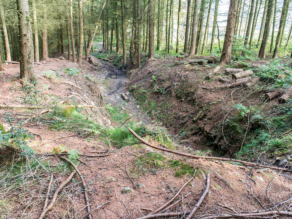
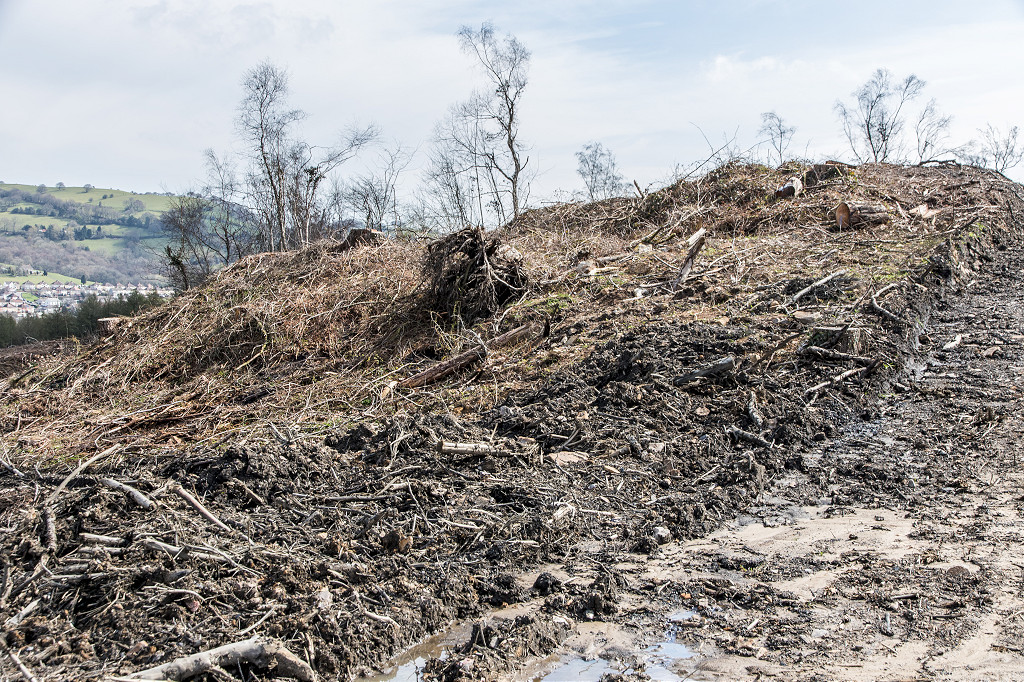
 Western tip |
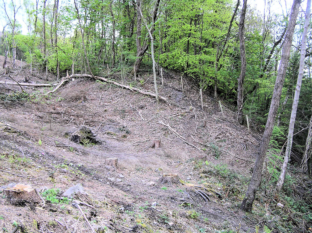 Western tip |
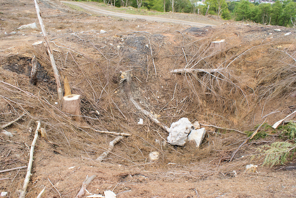
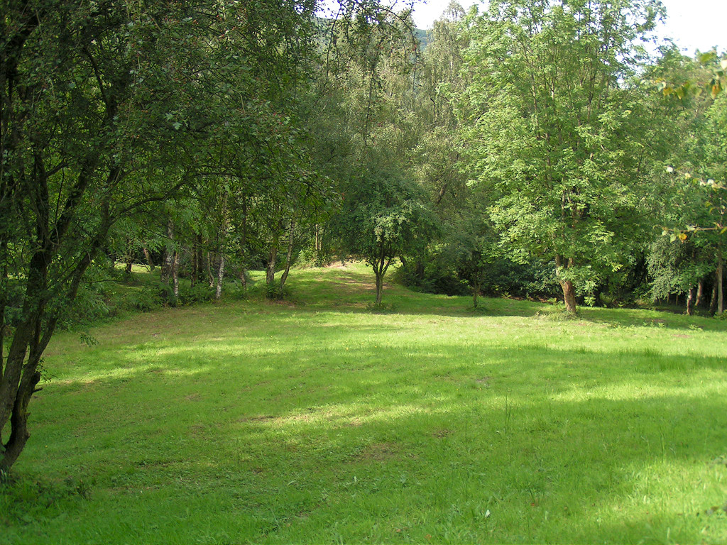
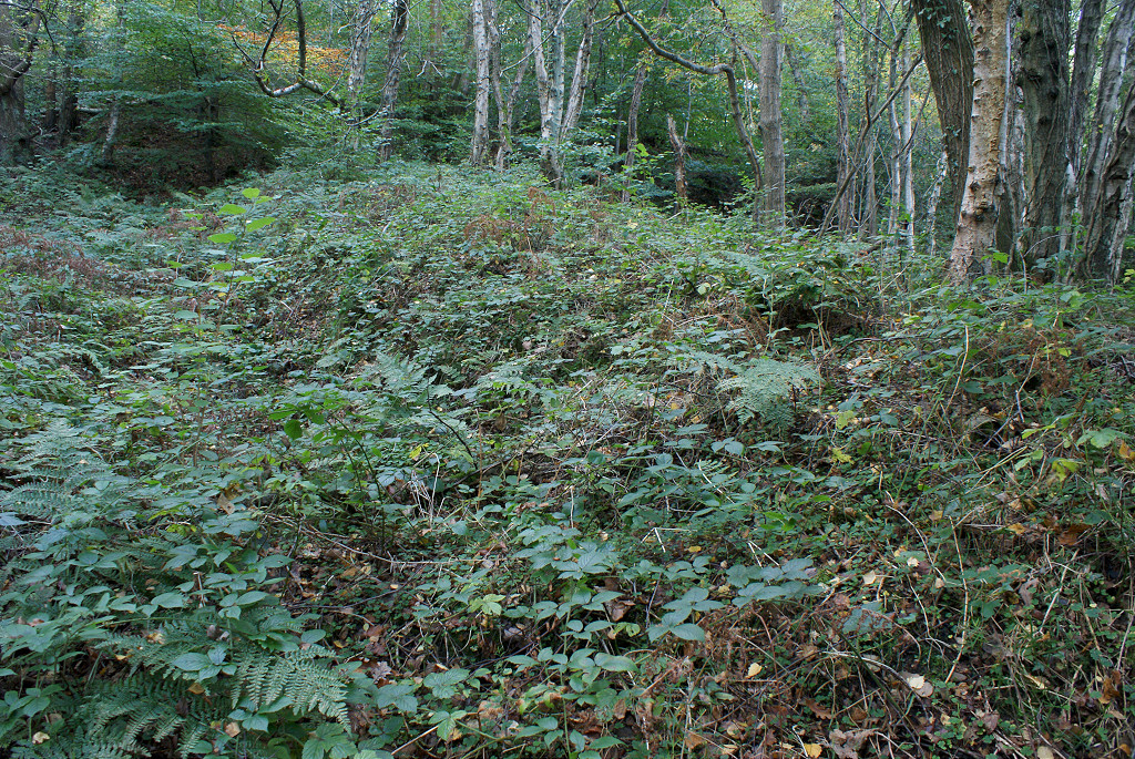
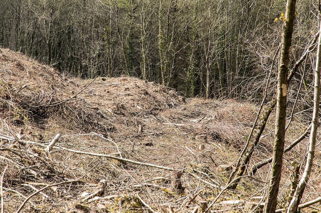
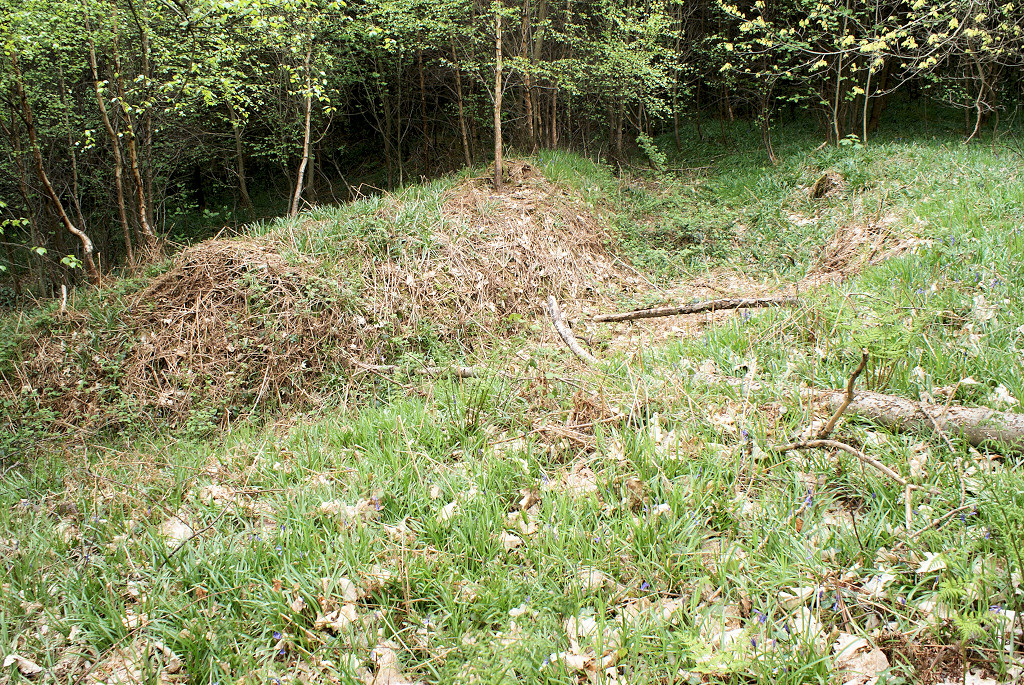
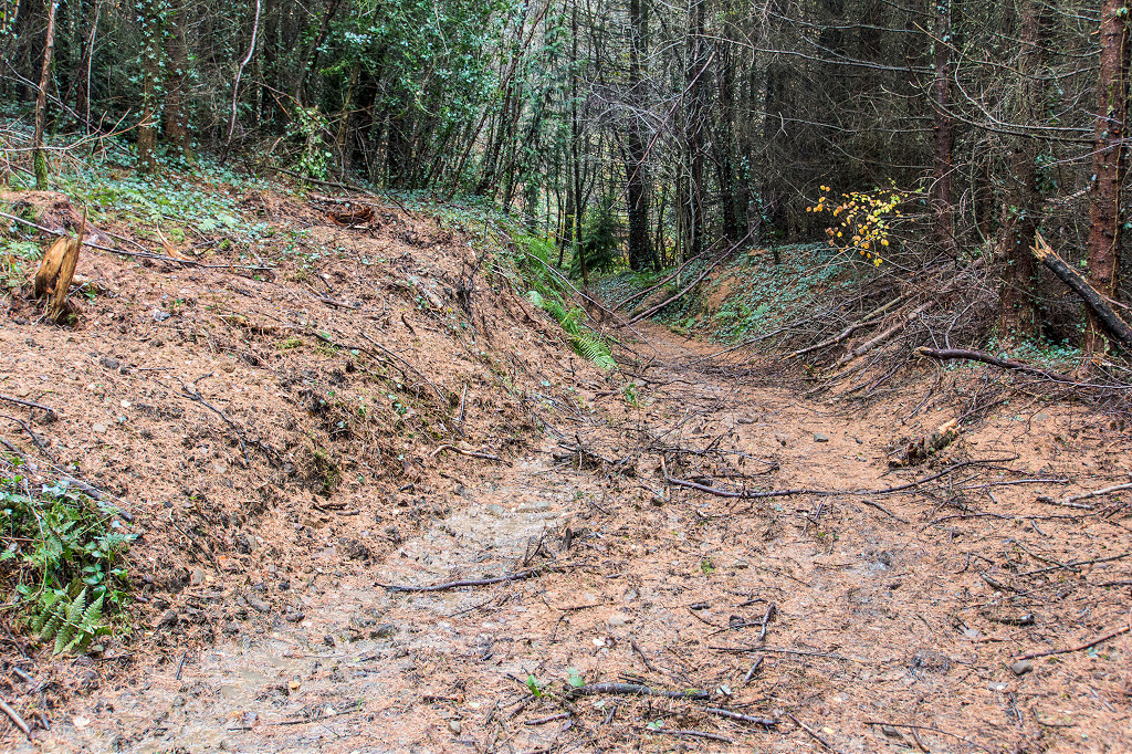
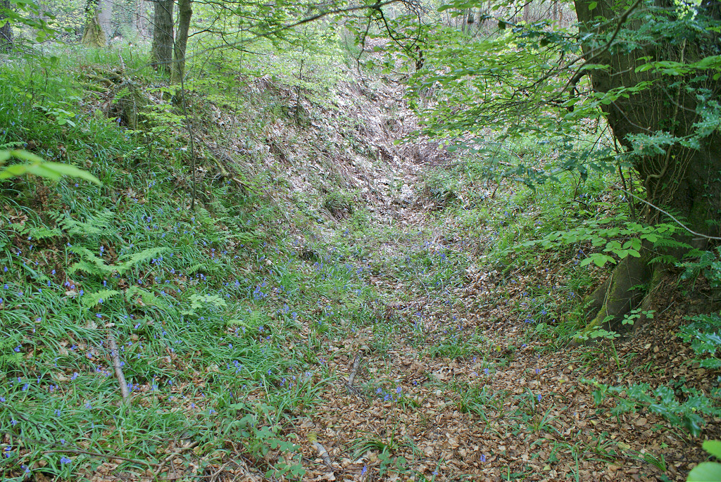
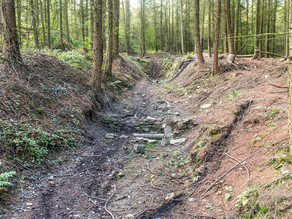
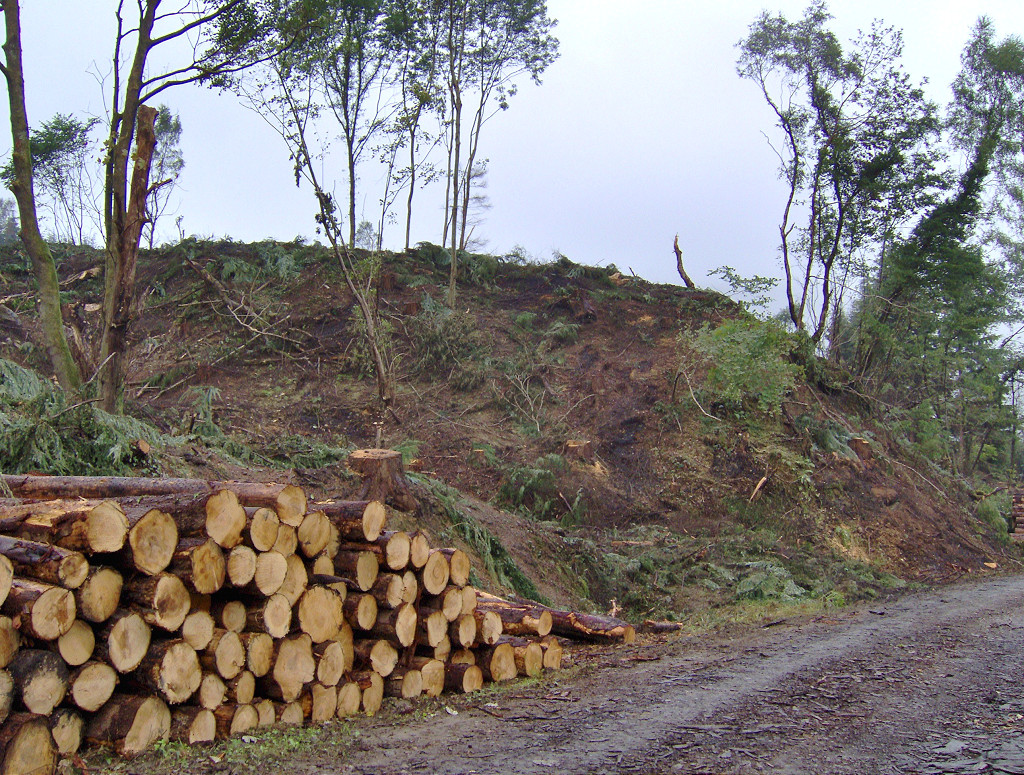 Eastern tip |
|
 Eastern tip |
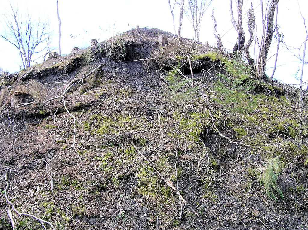 Eastern tip |
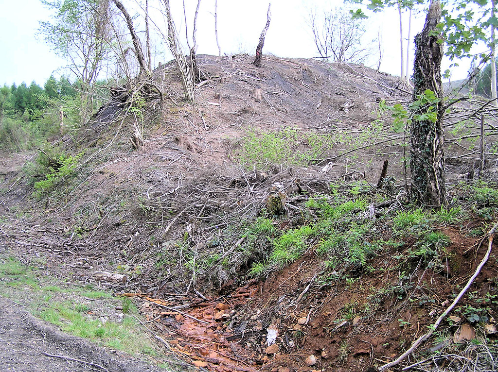 Eastern tip |
 Eastern tip |
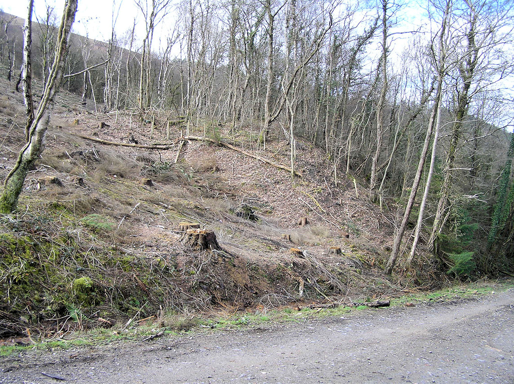
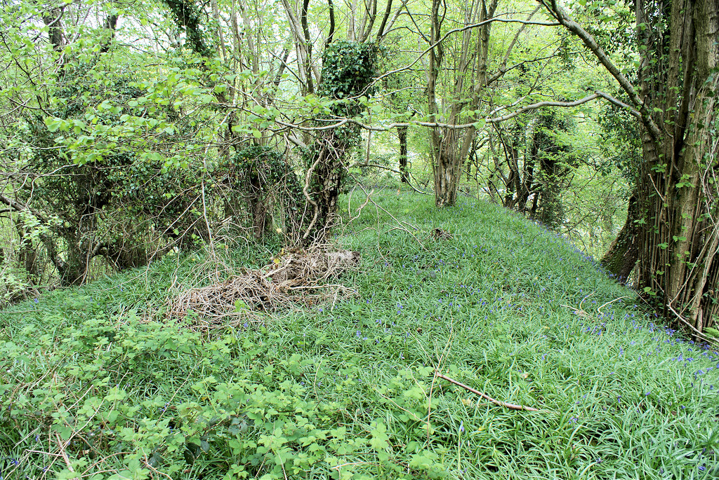
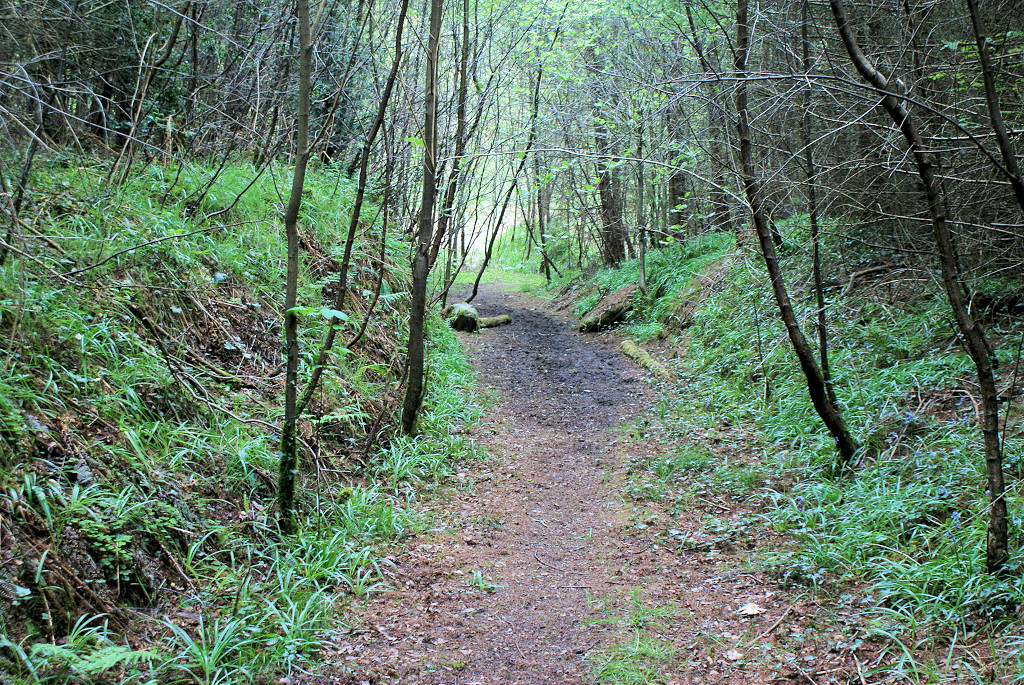
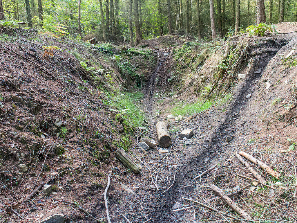
 Buck Farm level |
 Buck Farm level |
 Buck Farm level |
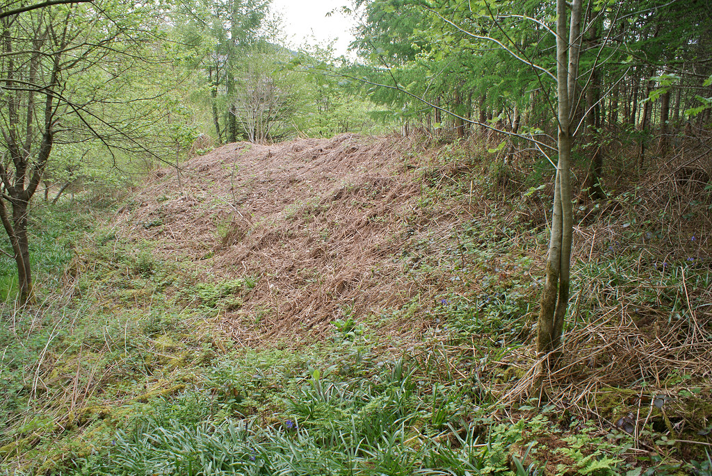
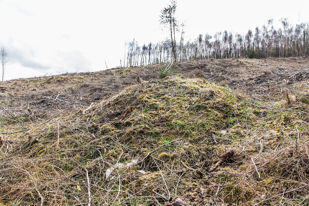
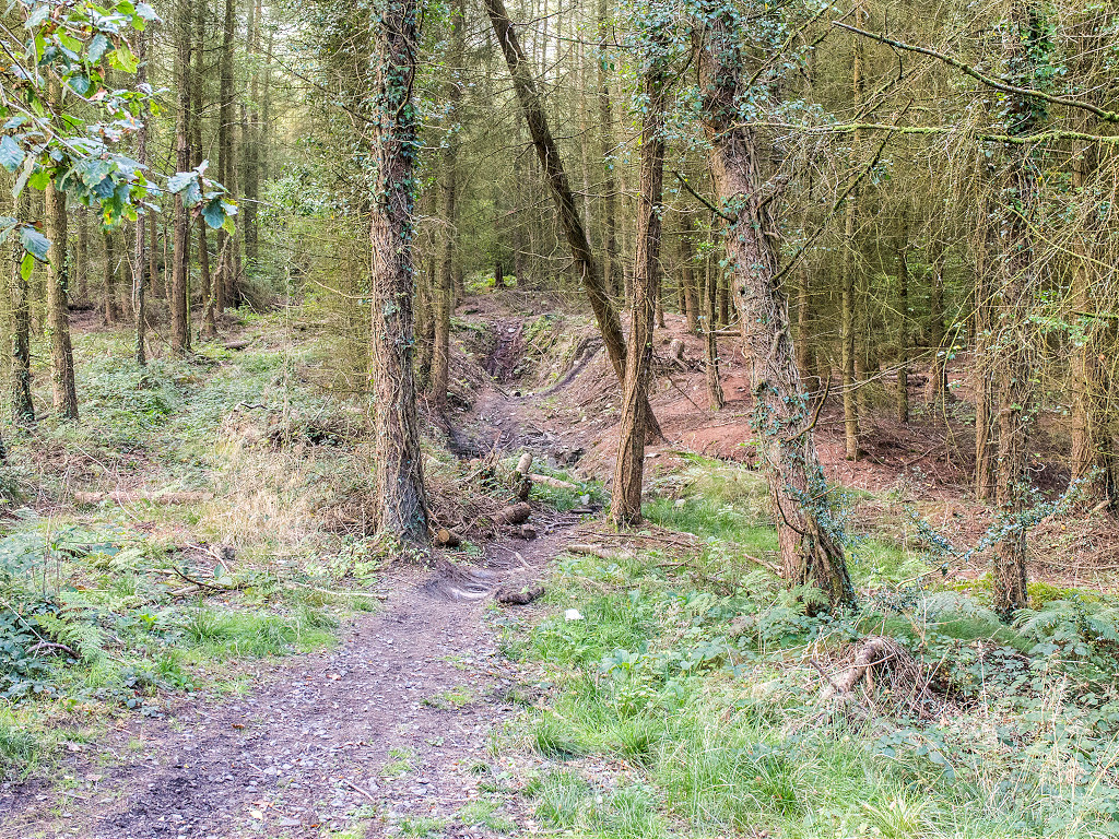
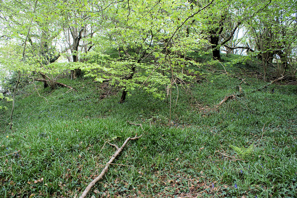 Buck Farm tip |
 Buck Farm tip |
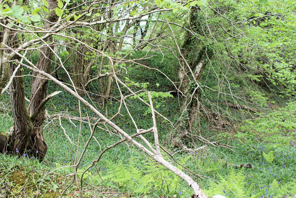 Buck Farm tip |
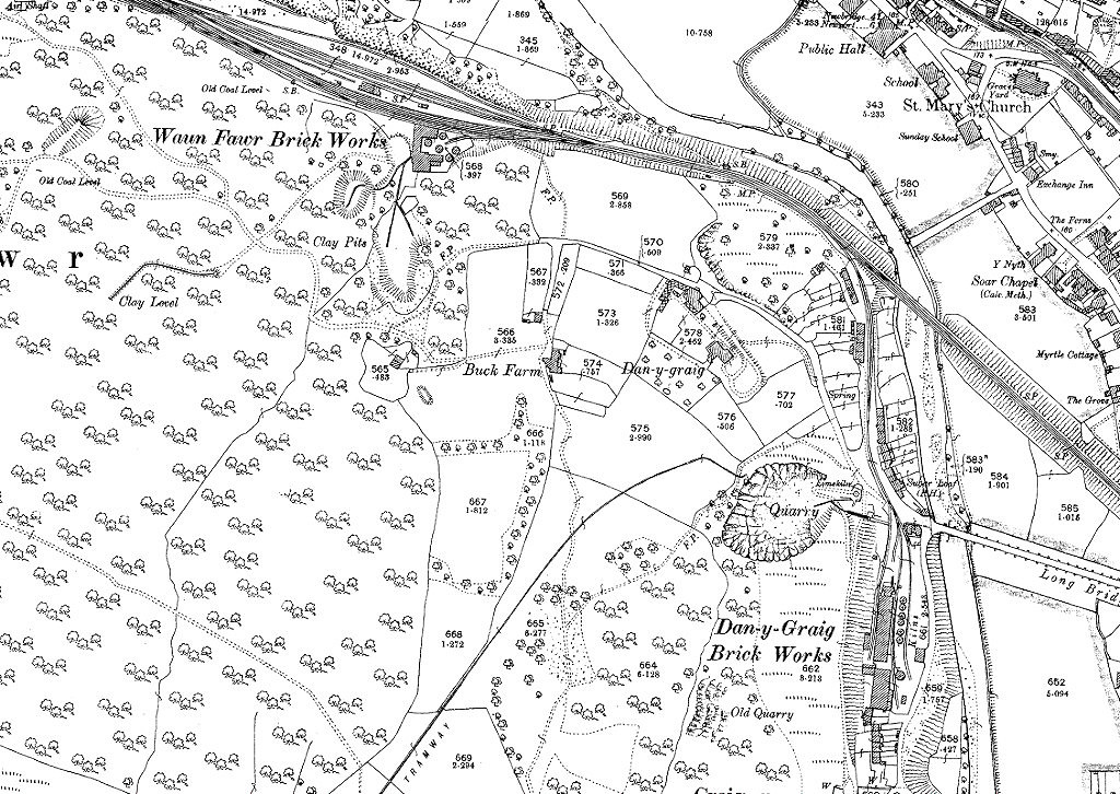
 Waen-fawr Brickworks, 1883 |
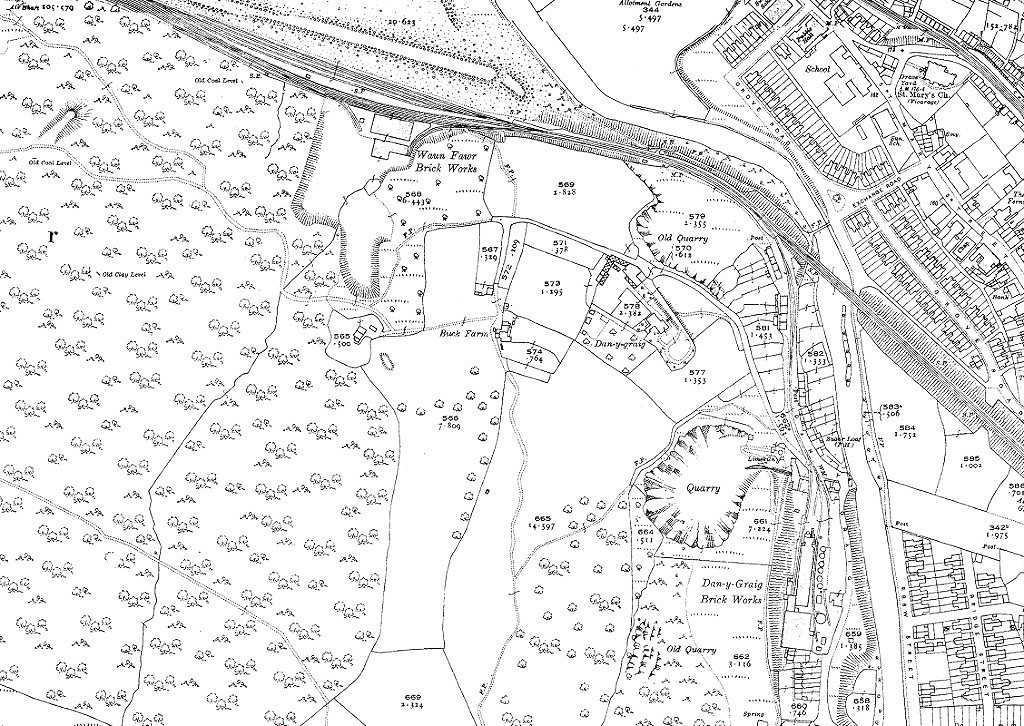
 Waen-fawr Brickworks, 1901 |
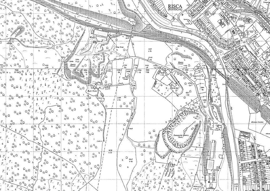
 Waen-fawr Brickworks, 1920 |
 Waen-fawr Brickworks, 1962 |
 'Russell Risca' |
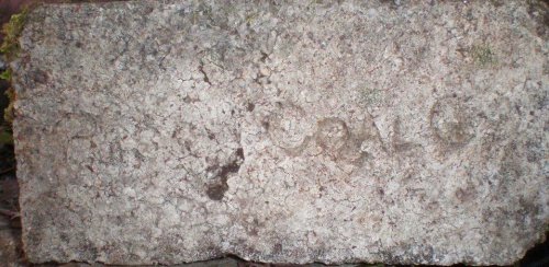 'Risca Coal Co' |
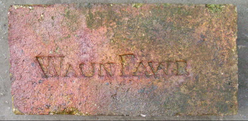 'Waun Fawr' |
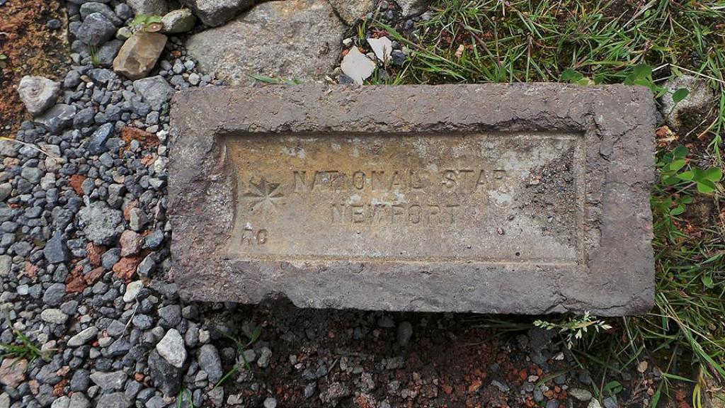 'National Star Newport RC' |
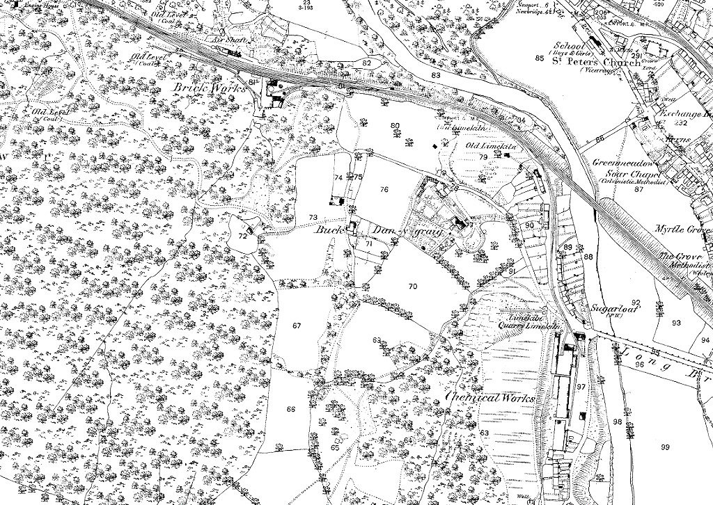
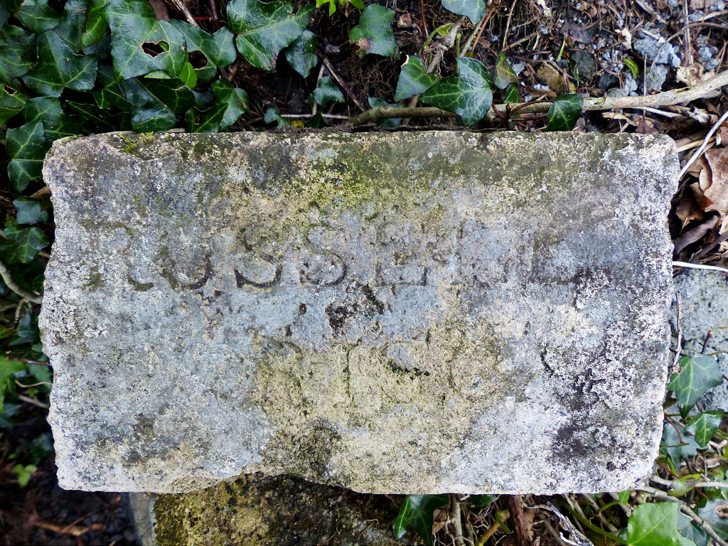
 Waun-fawr Brickworks |
 Waun-fawr Brickworks |
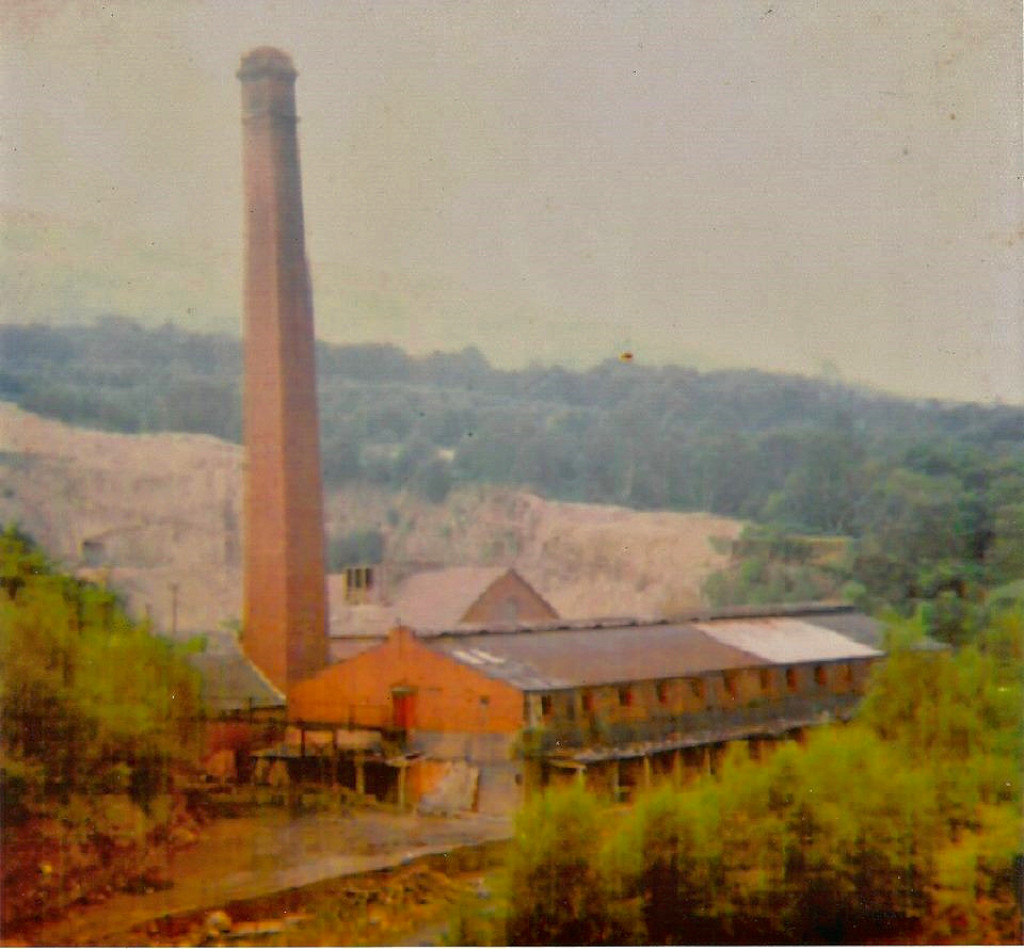
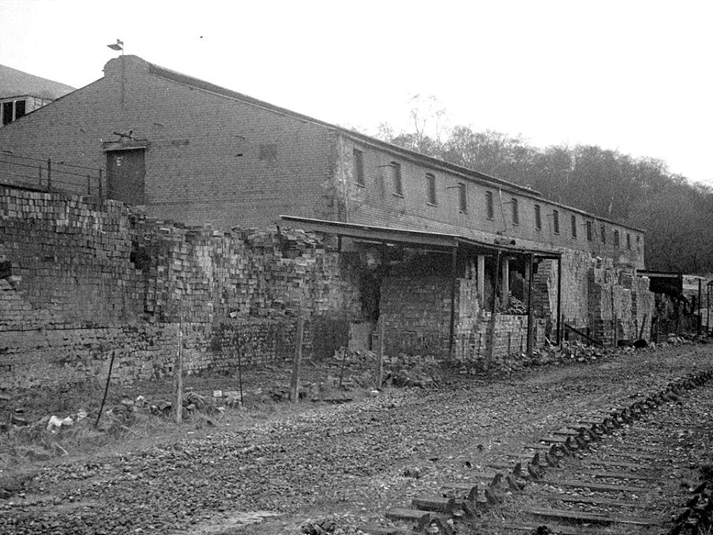 Waun-fawr Brickworks, c1971 |
 Waun-fawr Brickworks |
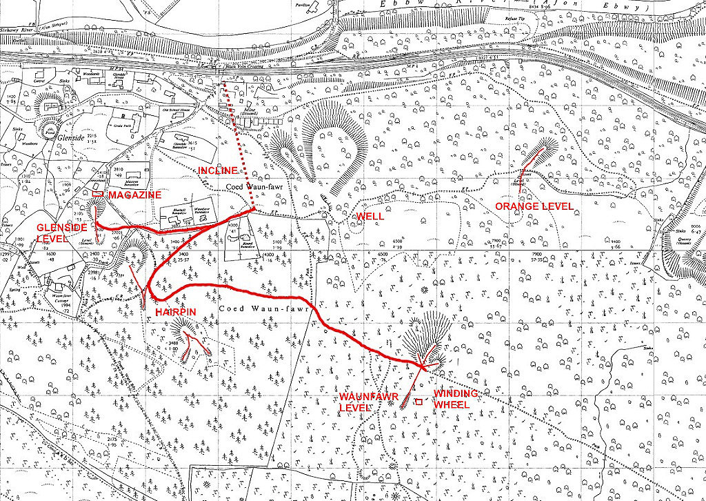
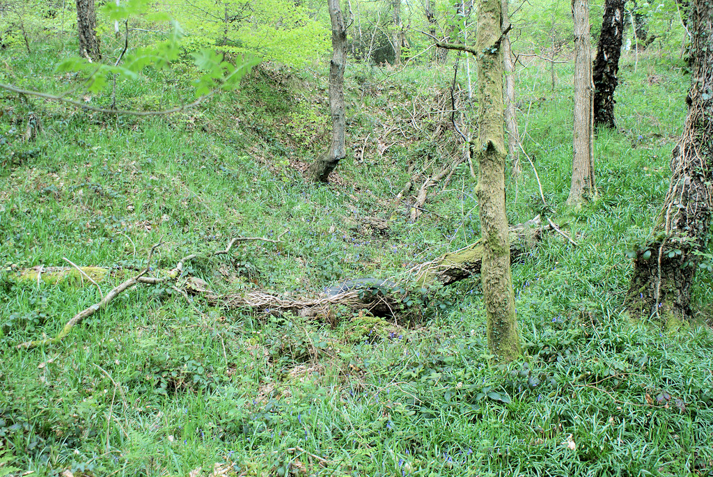
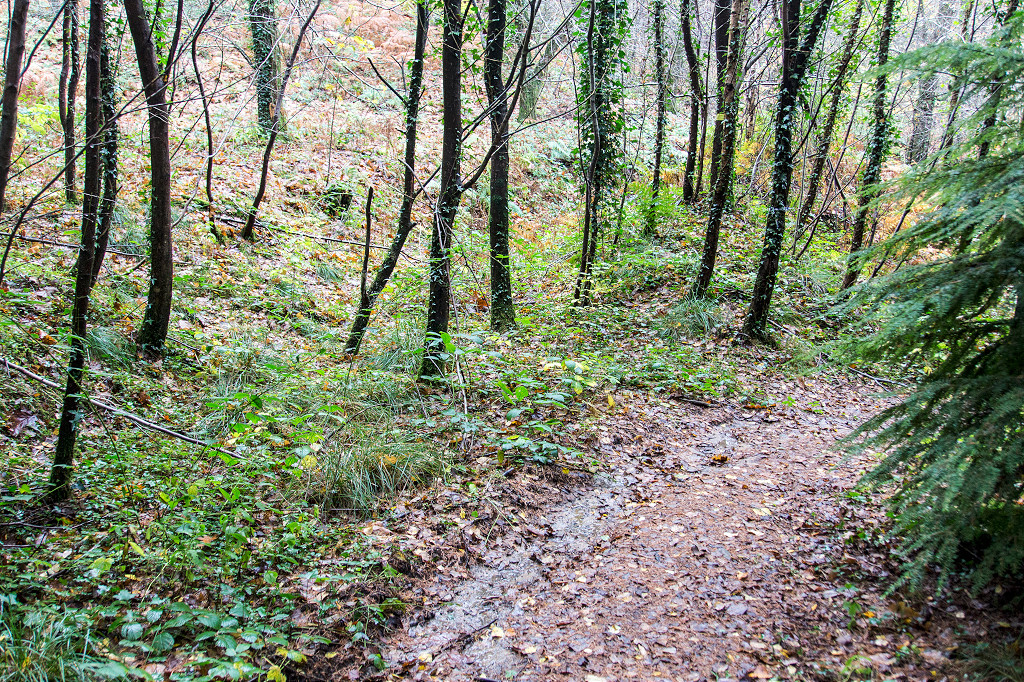
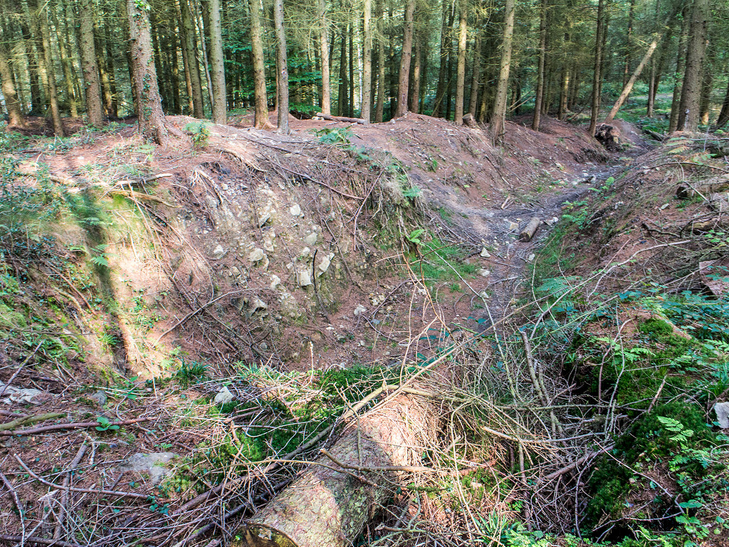
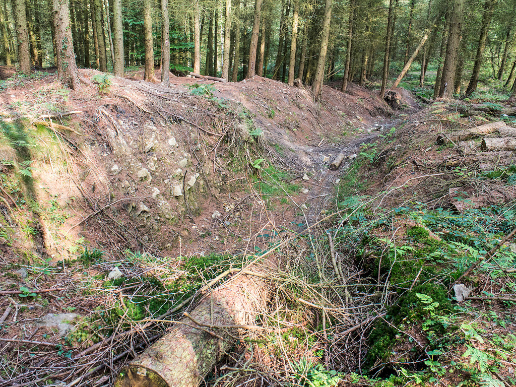
 Glenside level |
 Glenside level |
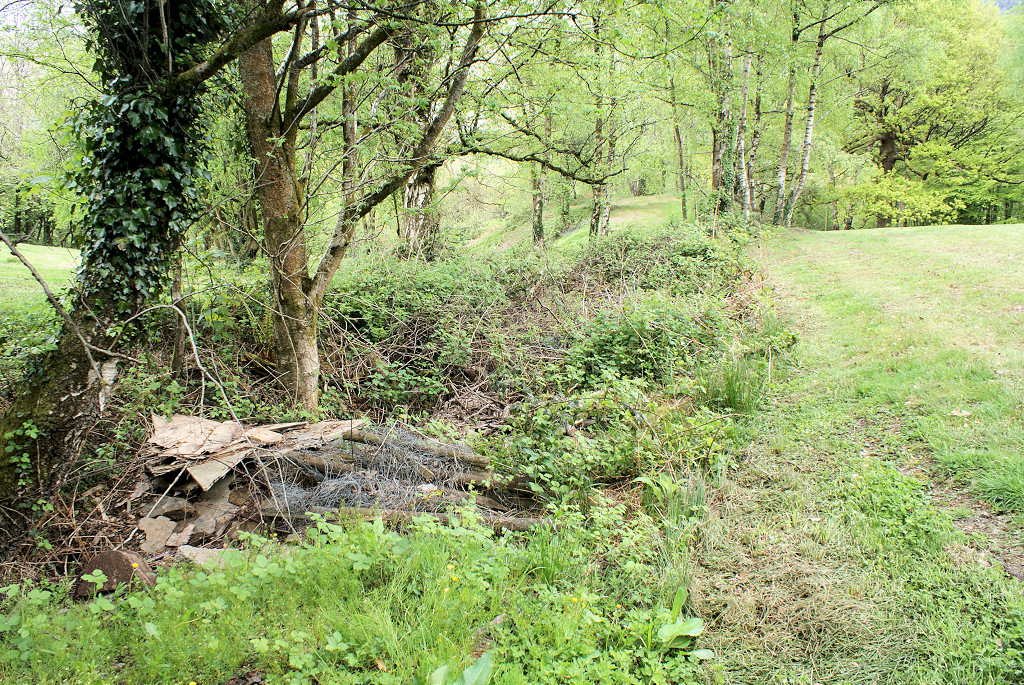 Glenside level |
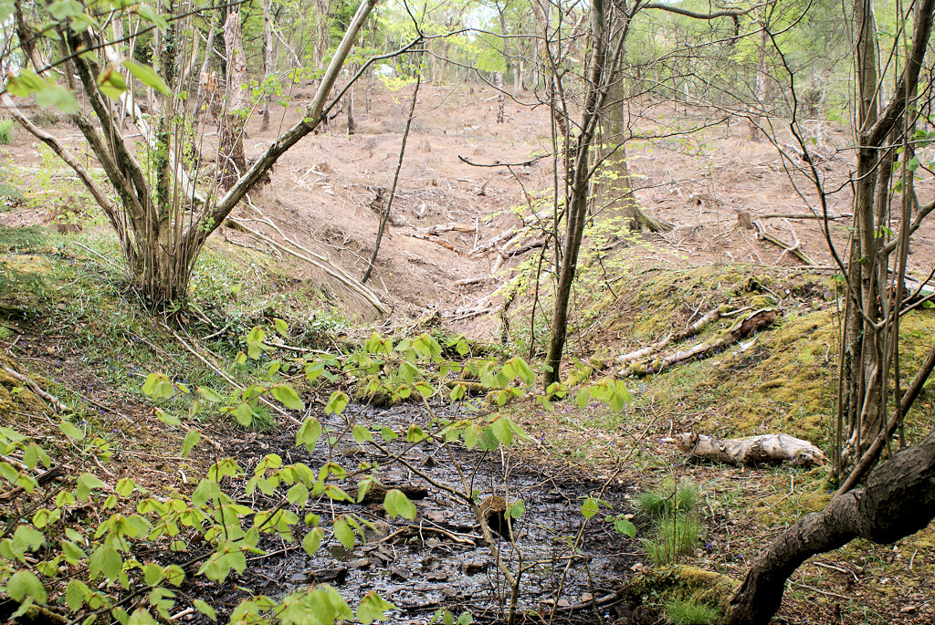
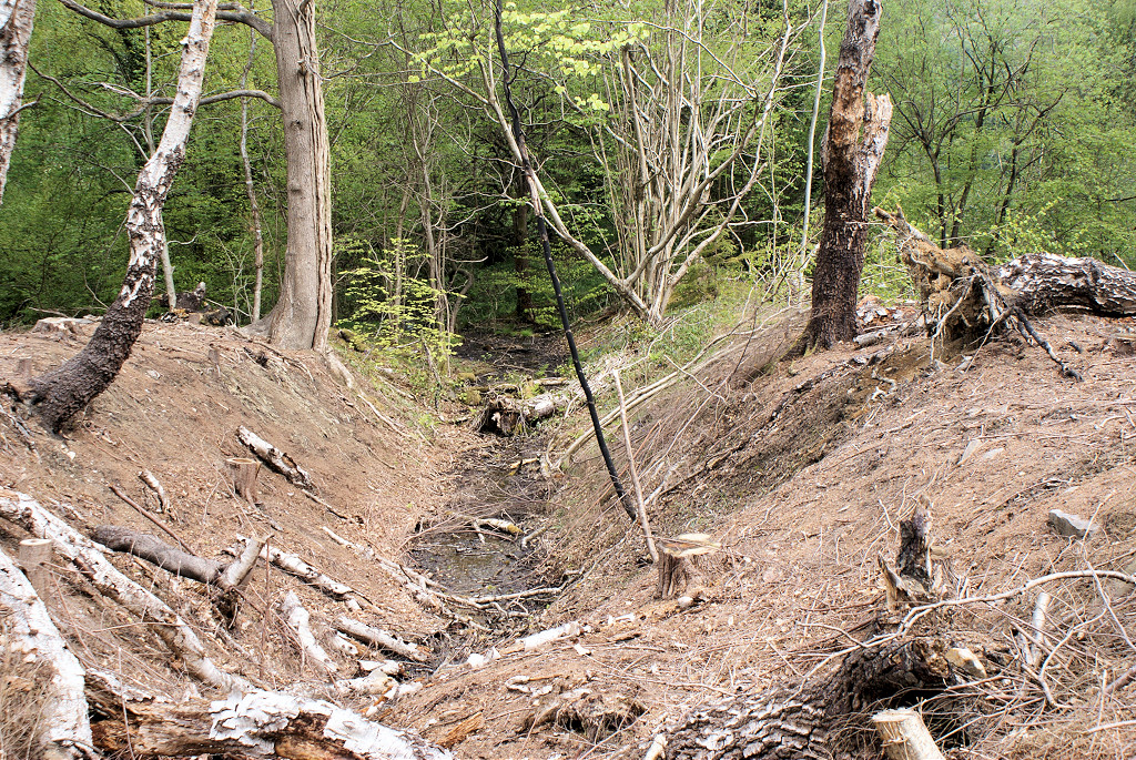
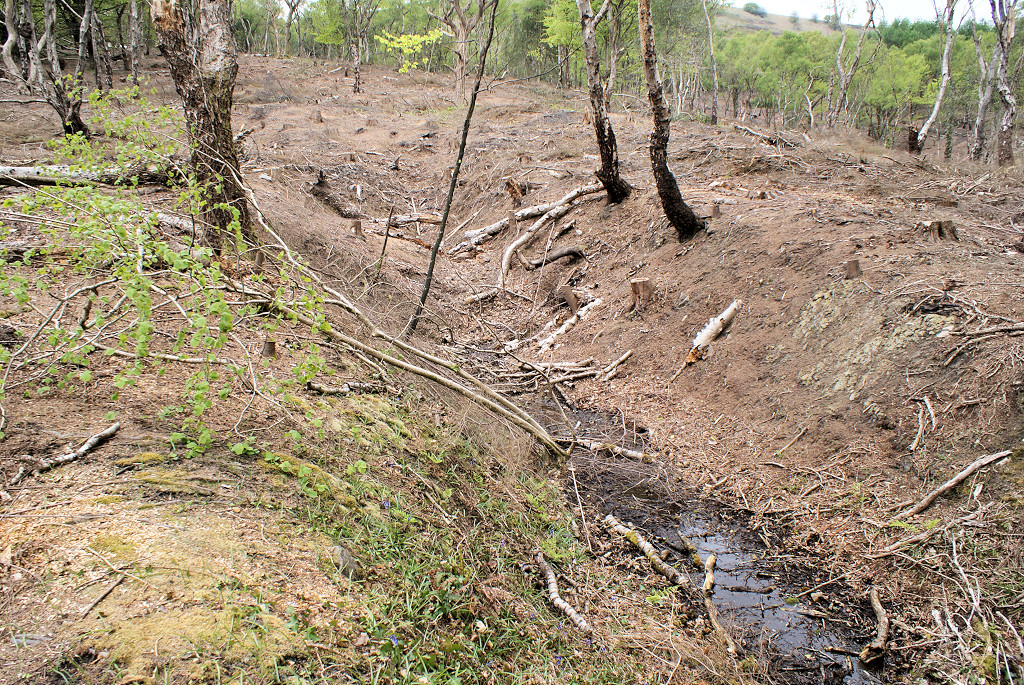
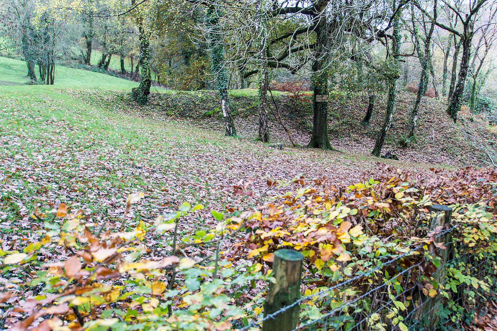
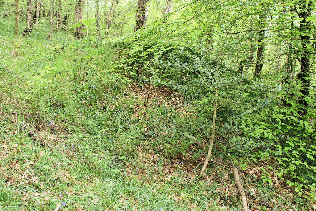
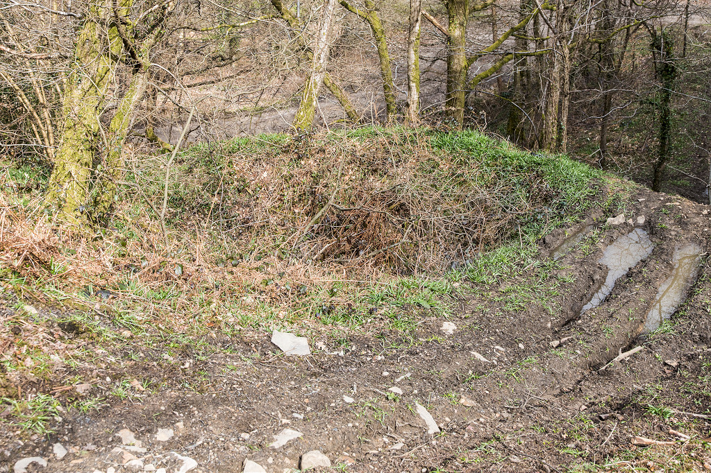
 Glenside level spoil tip |
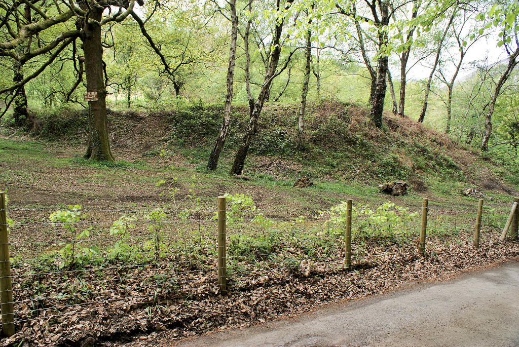 Glenside level spoil tip |
 Glenside level spoil tip |
 Glenside level spoil tip |
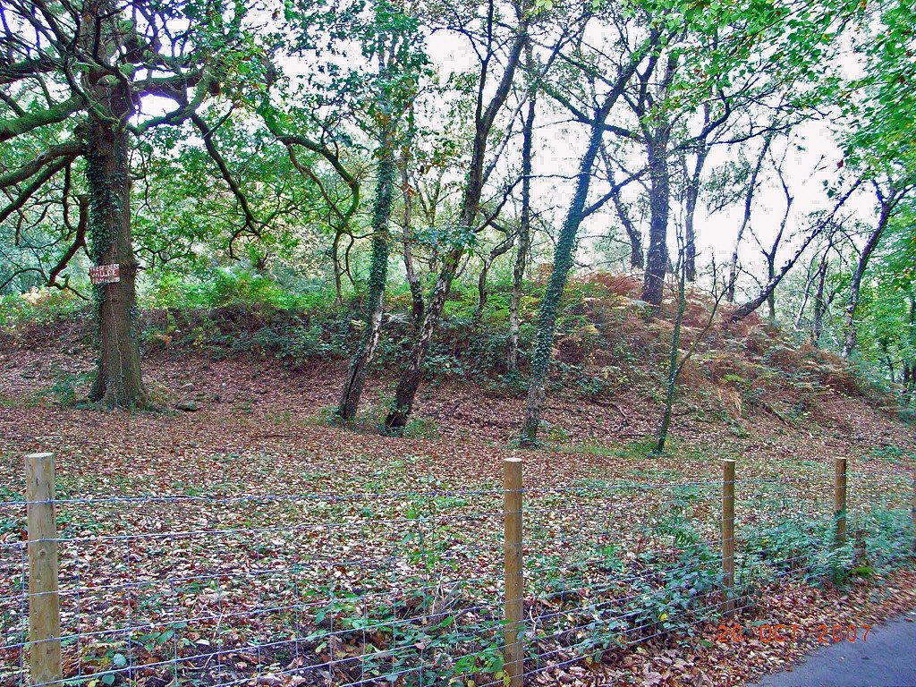 Glenside level spoil tip |
 Glenside level tramroad |
 Glenside level tramroad |
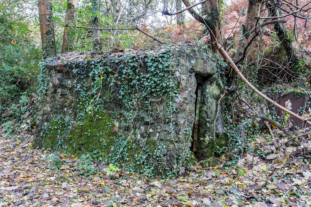 Glenside level magazine |
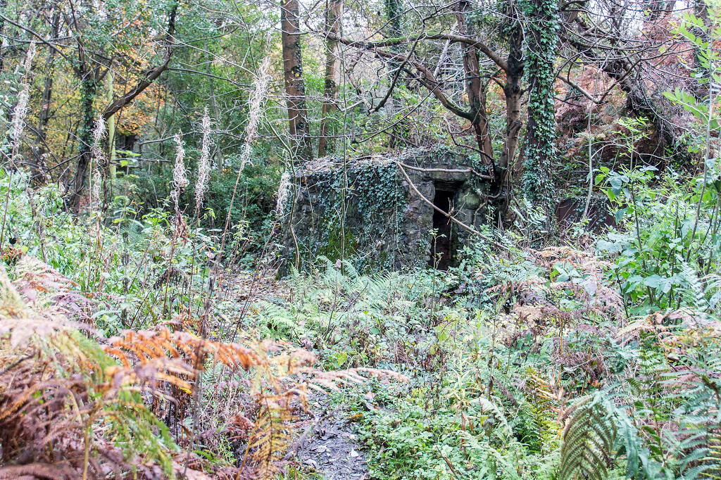 Glenside level magazine |
 Glenside level magazine |
|
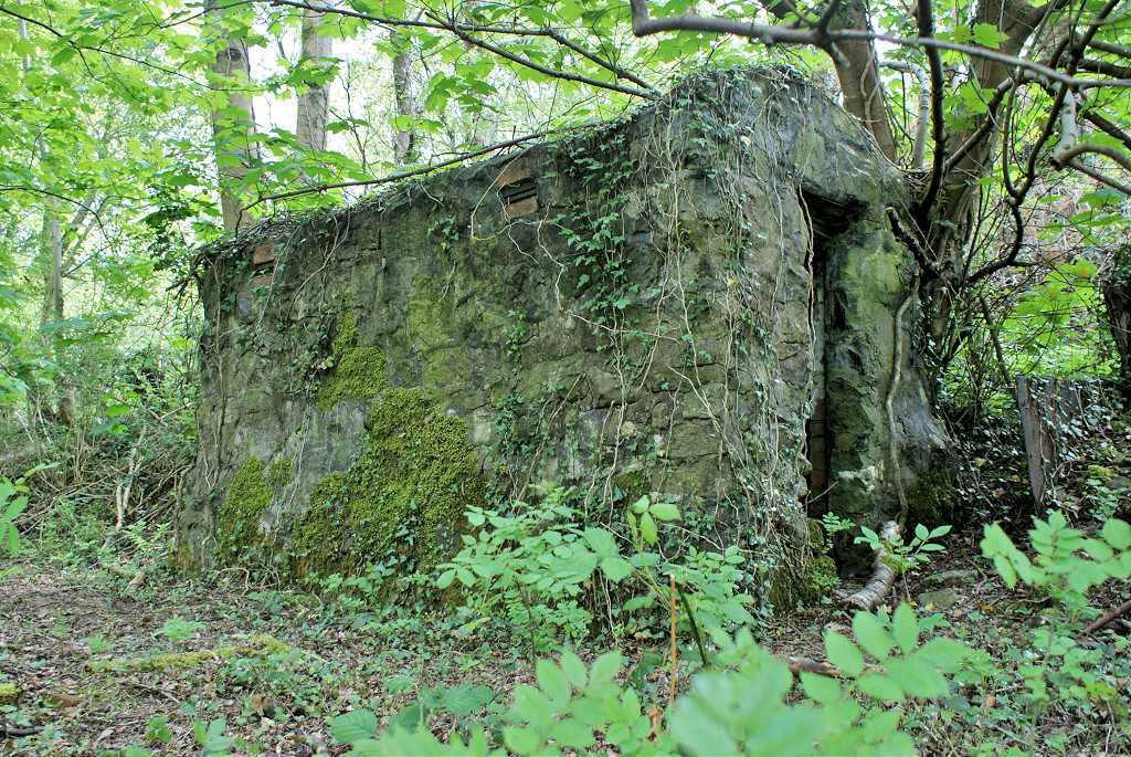 Glenside level magazine |
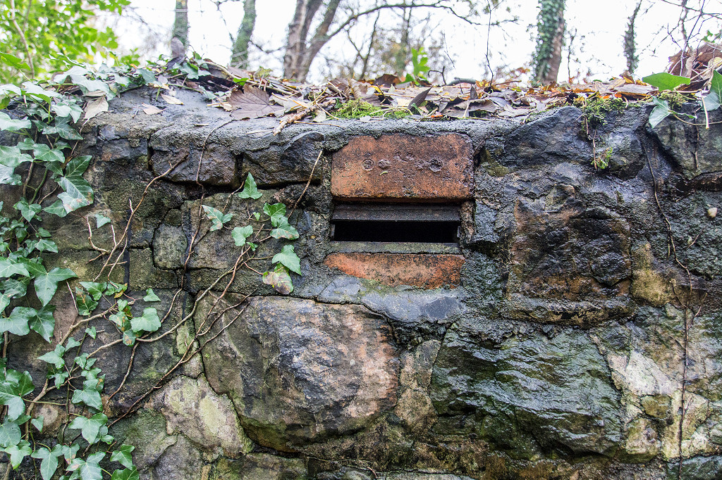
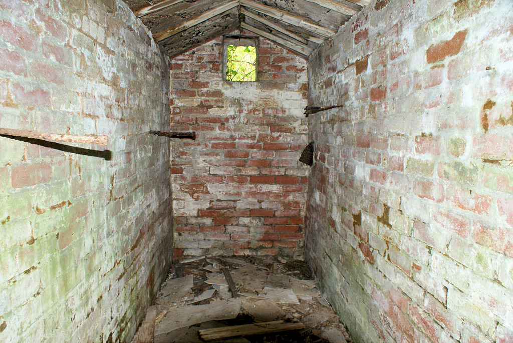 Glenside level magazine interior |
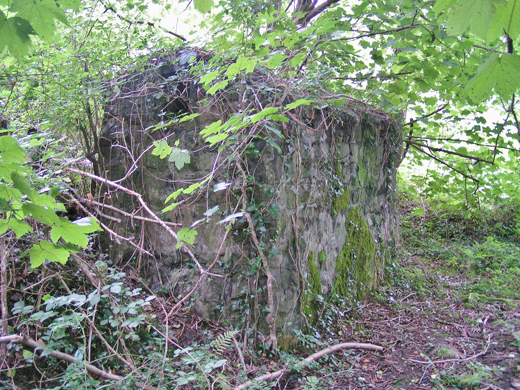 Glenside level magazine |
 Glenside level magazine |
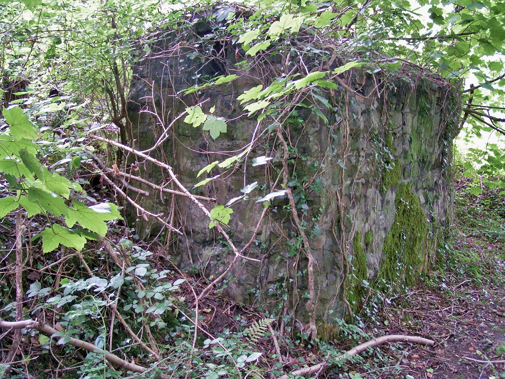
 Glenside level magazine |
 Glenside level magazine |
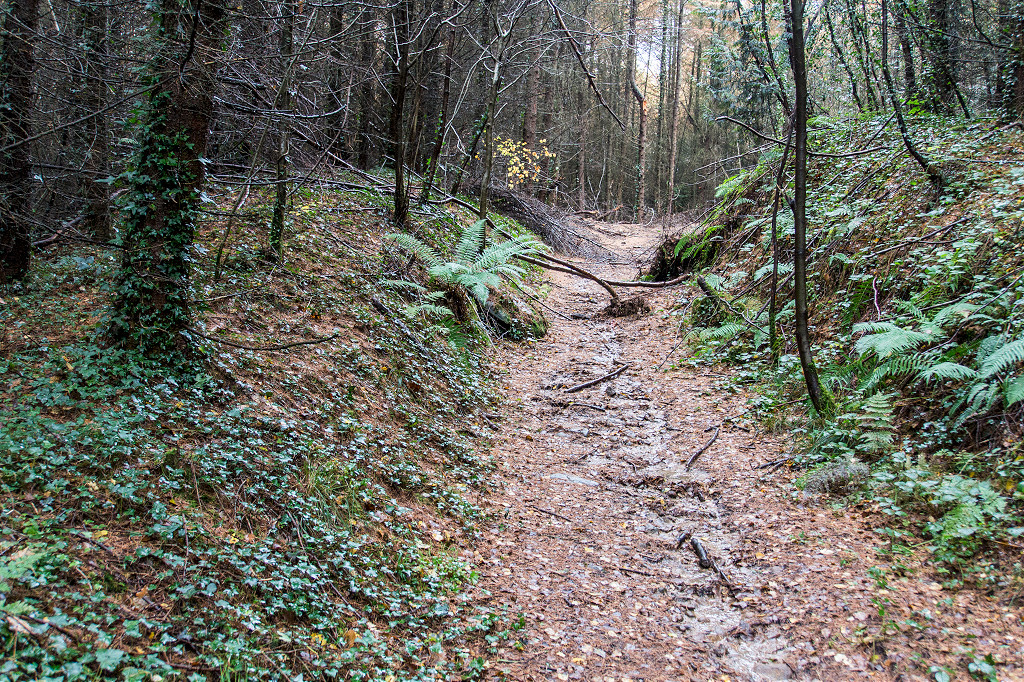
 The incline |
 Incline top |
 Incline top |
 Incline top on tramroad |
 Incline from the East |
 Incline from the West |
 Incline from the West |
 Incline crossing footpath |
 Incline crossing footpath |
 Incline from the East |
 Incline from the East |
 Incline retaining wall from East |
 Level to East of incline |
 Tip to east of incline |
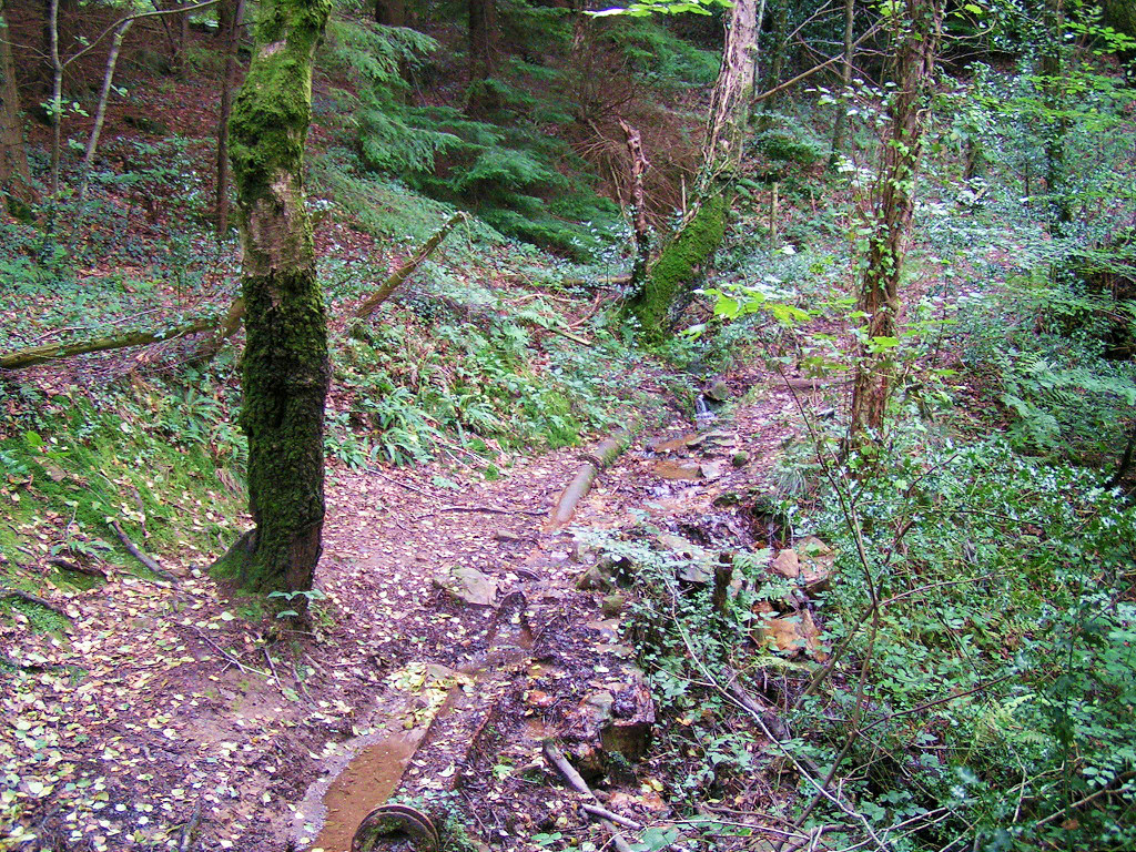
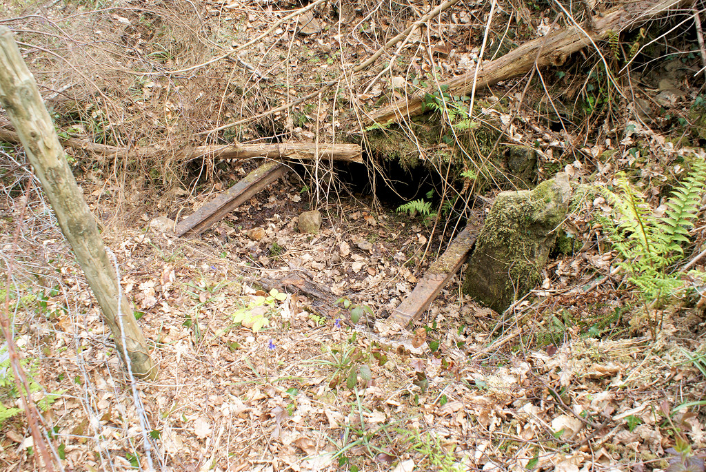 Well or drainage level |
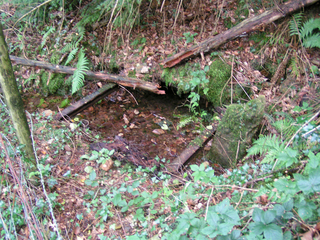 Well or drainage level |
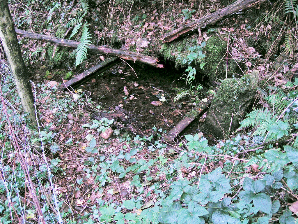 Well or drainage level |
|
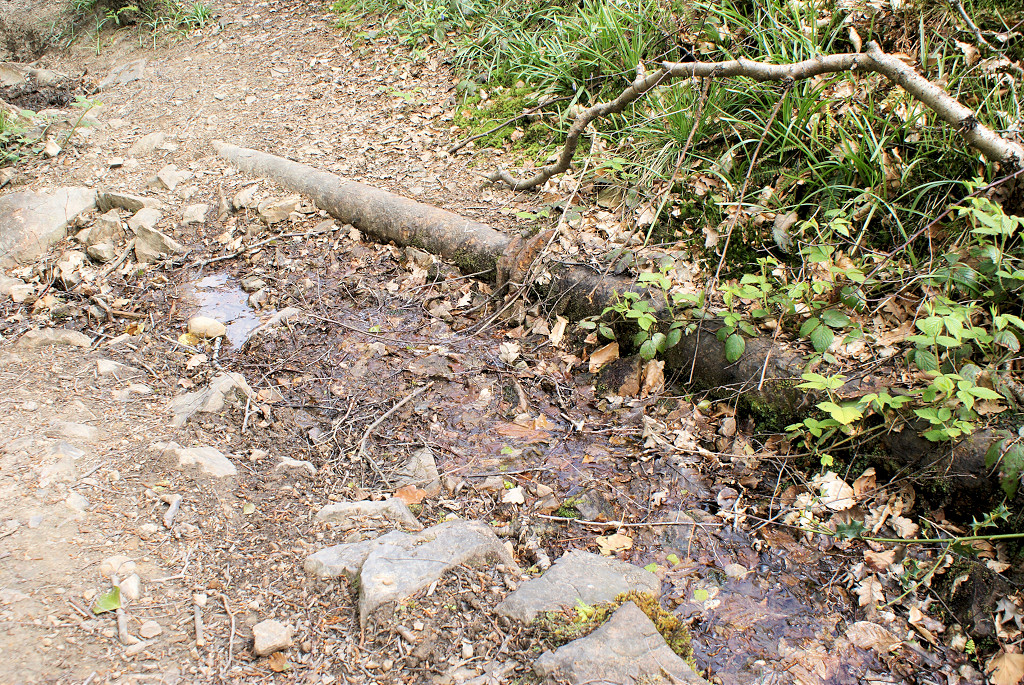 Pipework running from well |
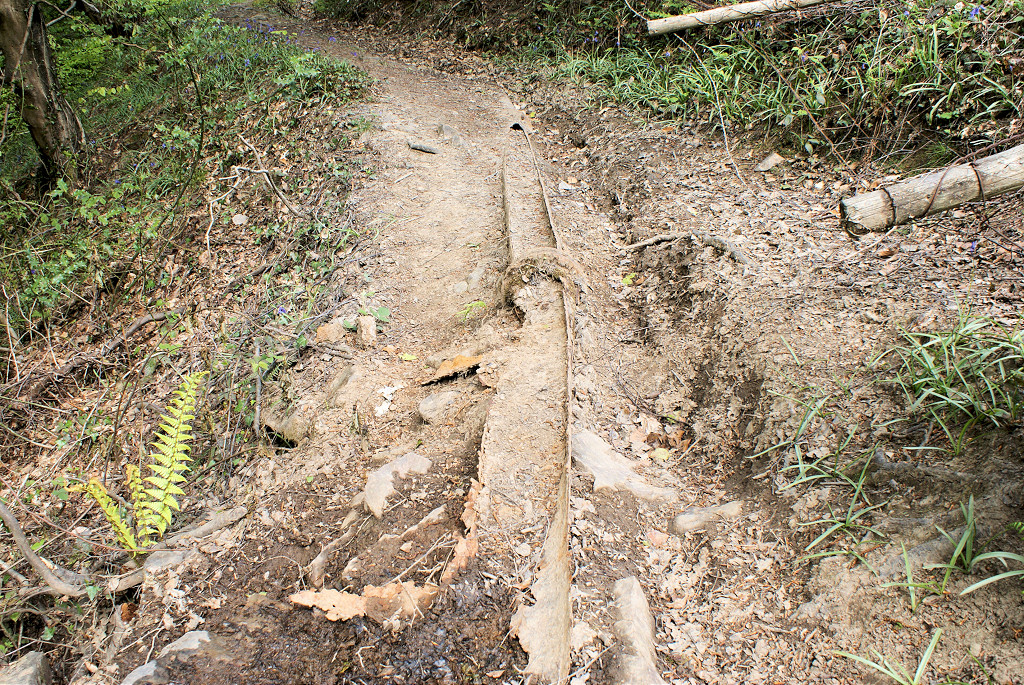 Pipework running from well |
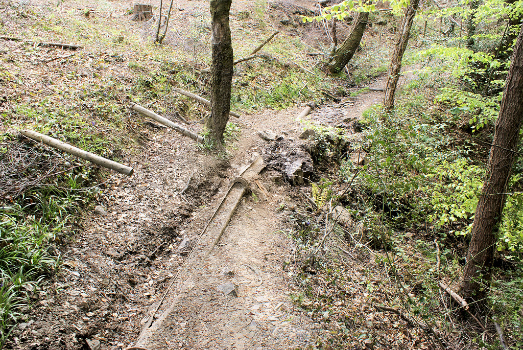 Pipework running from well |
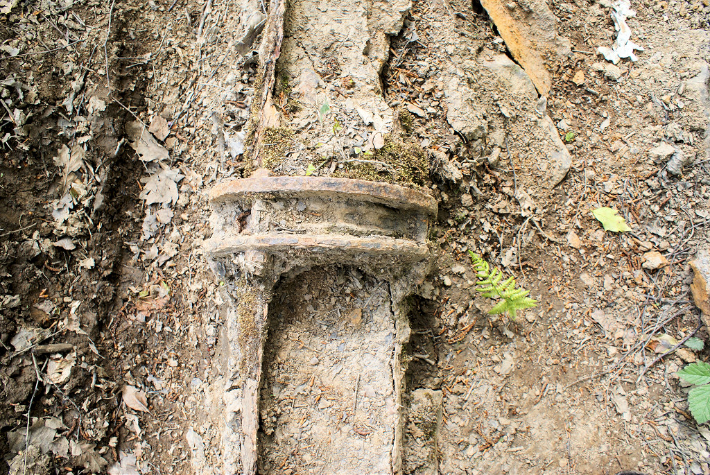 Pipework running from well |
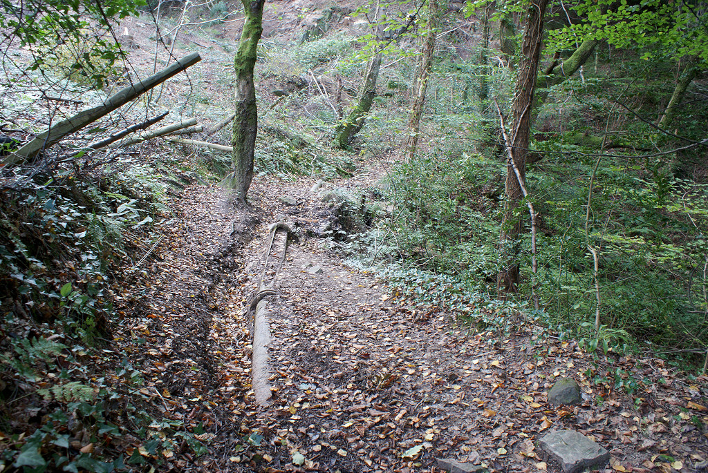 Pipework running from well |
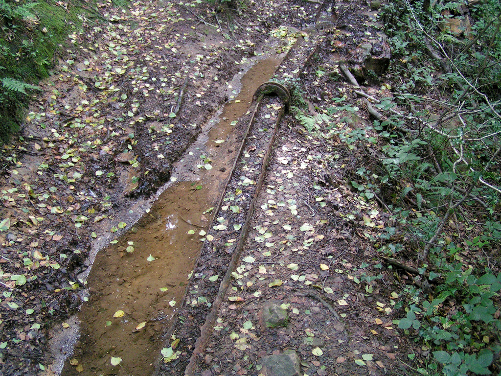 Pipework running from well |
 Pipework running from well |
|
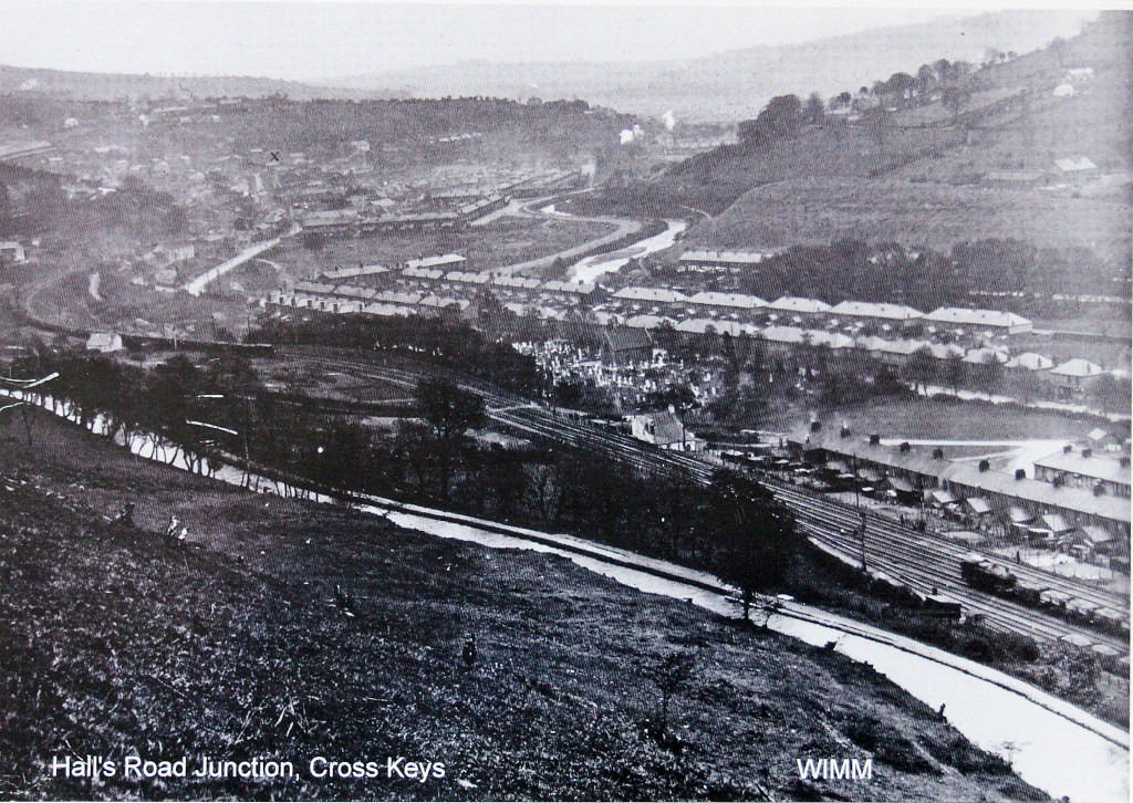
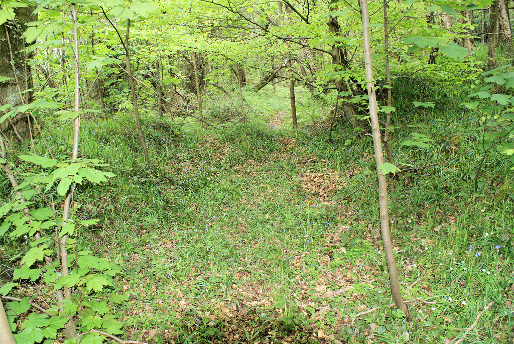
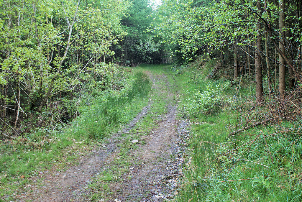
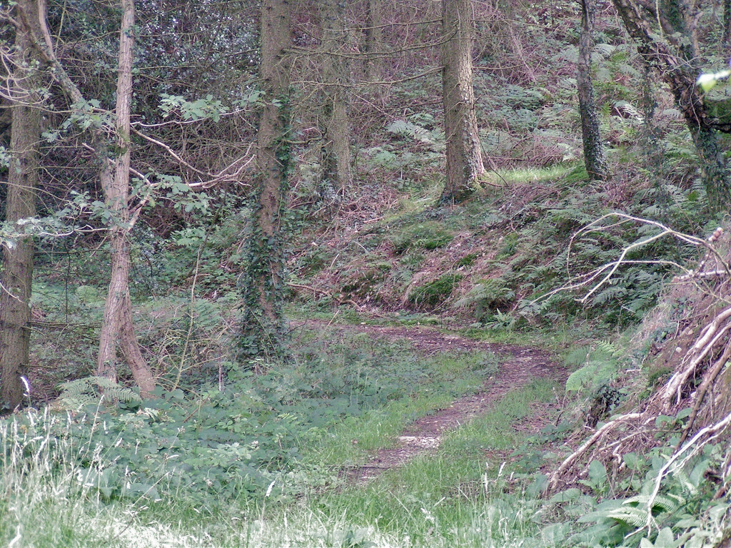
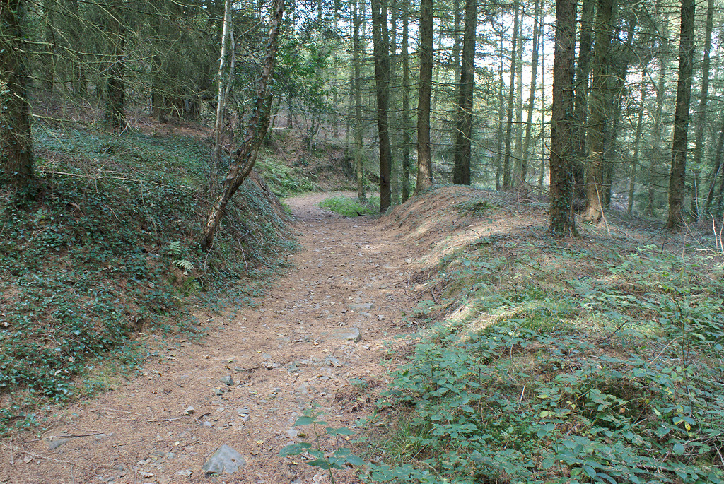
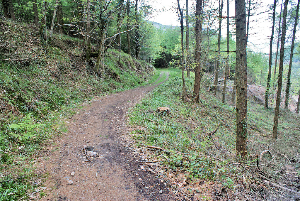
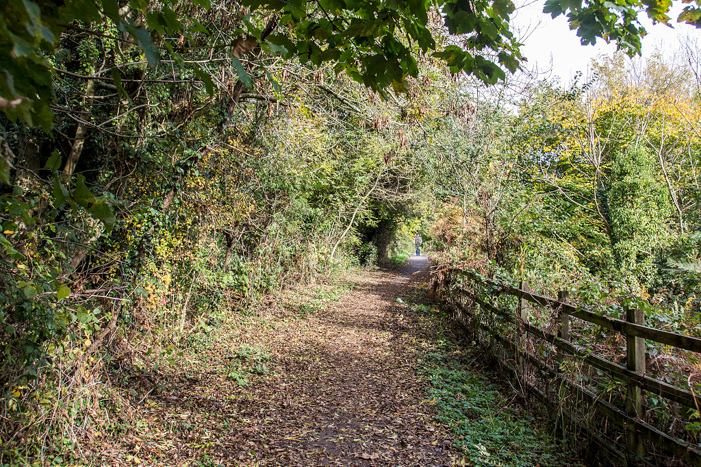
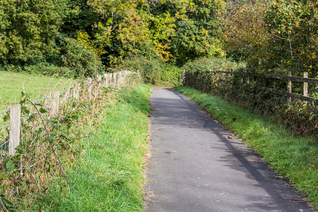
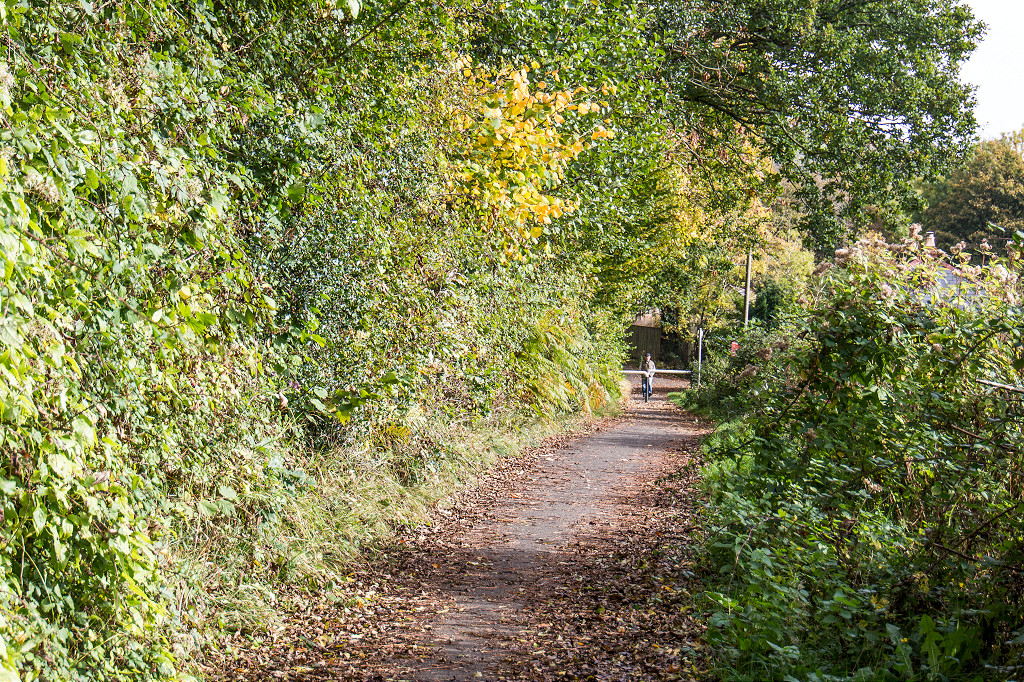
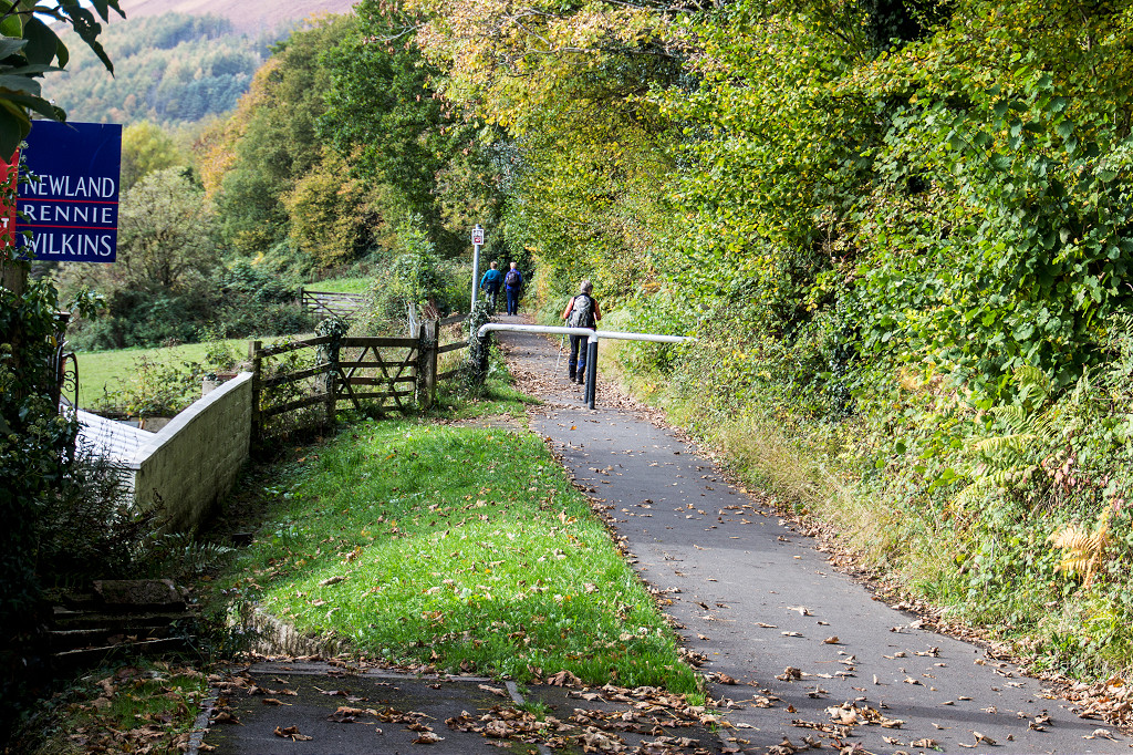
The Risca Blackvein Tramroad |
 Waun-fawr Tramroad junction |
 Waun-fawr Tramroad junction |
 Tramroad at the junction |
 Waun-fawr Tramroad junction |
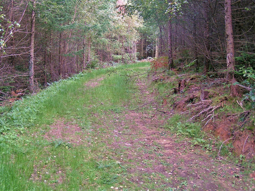
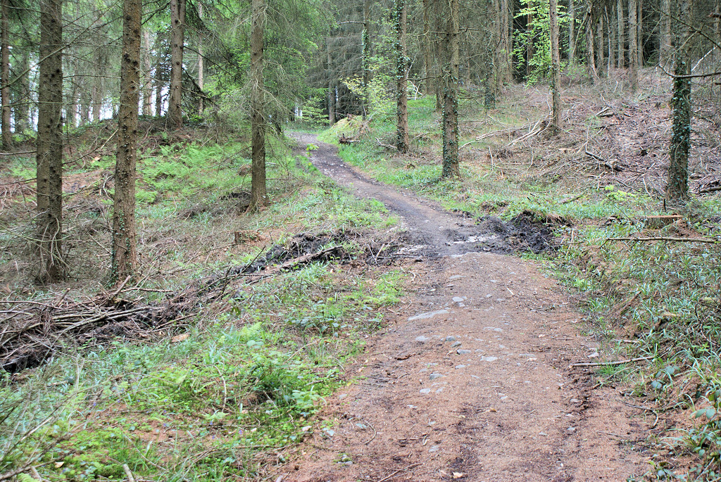
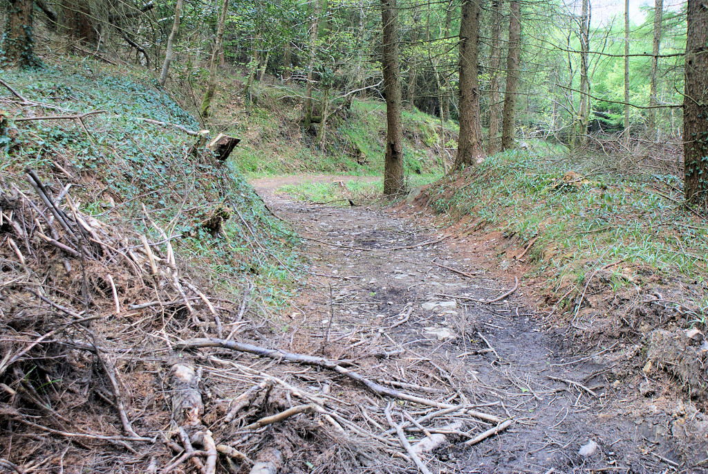
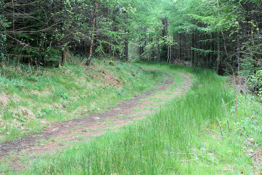
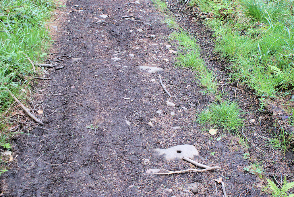
 From the junction to the hairpin |
 From the junction to the hairpin |
 From the junction to the hairpin |
 Tramroad at the hairpin bend |
 Up from the hairpin |
 Tramroad above hairpin bend |
|
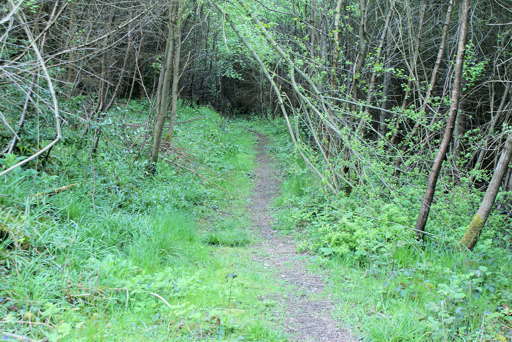
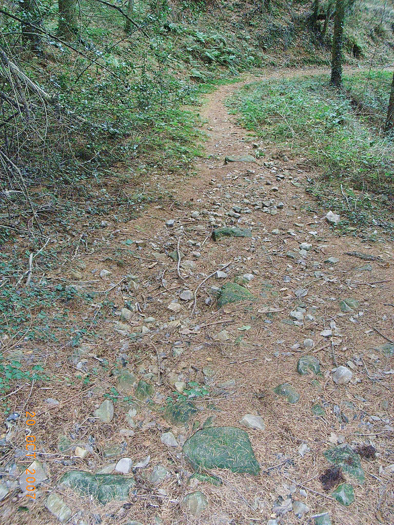
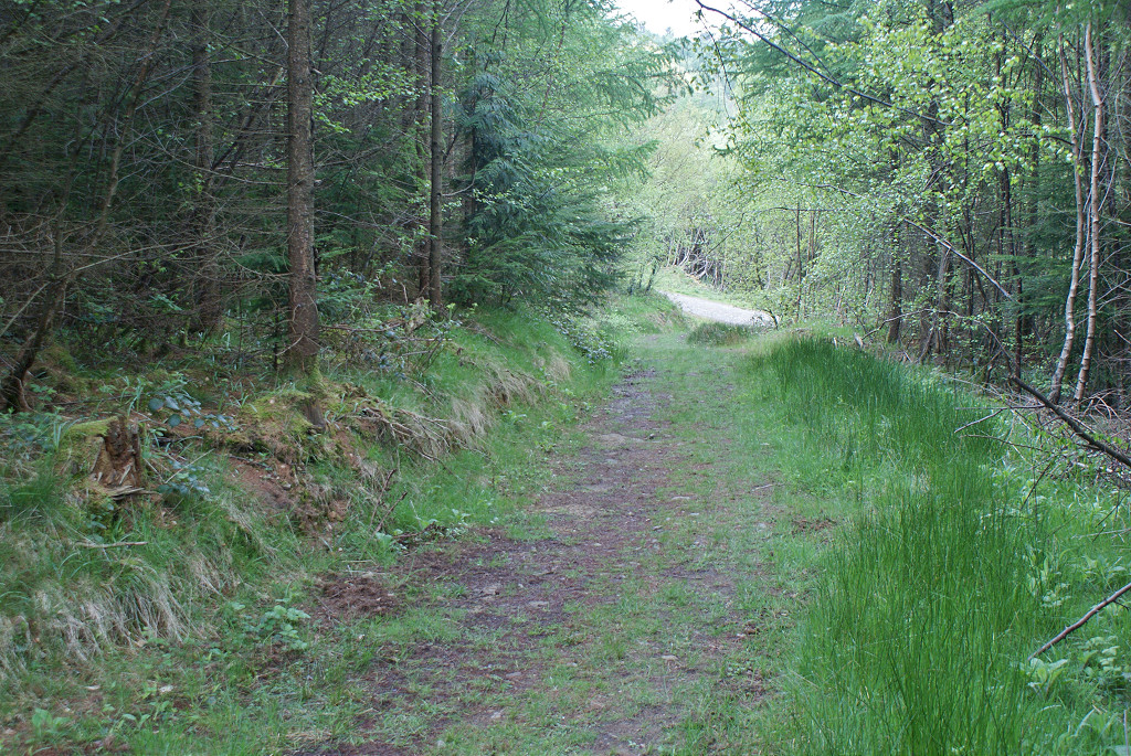
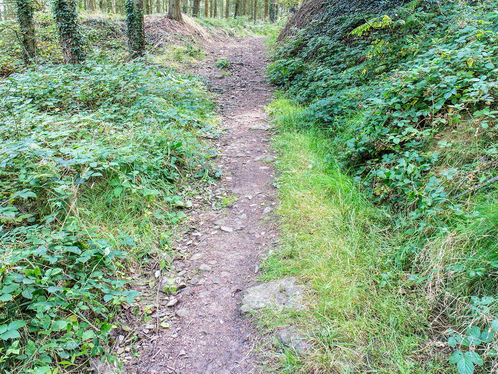
 Tramroad from forest road |
 Tramroad from previous point |
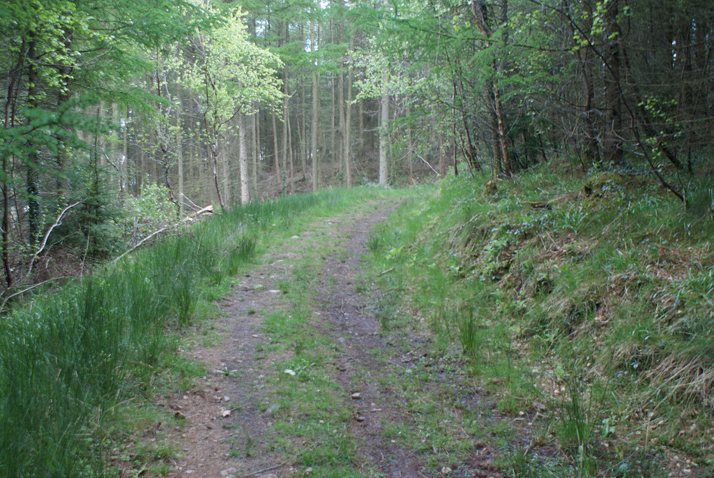 Tramroad from previous point |
 Tramroad from previous point |
 Tramroad from previous point |
 Tramroad from previous point |
 Tramroad from previous point |
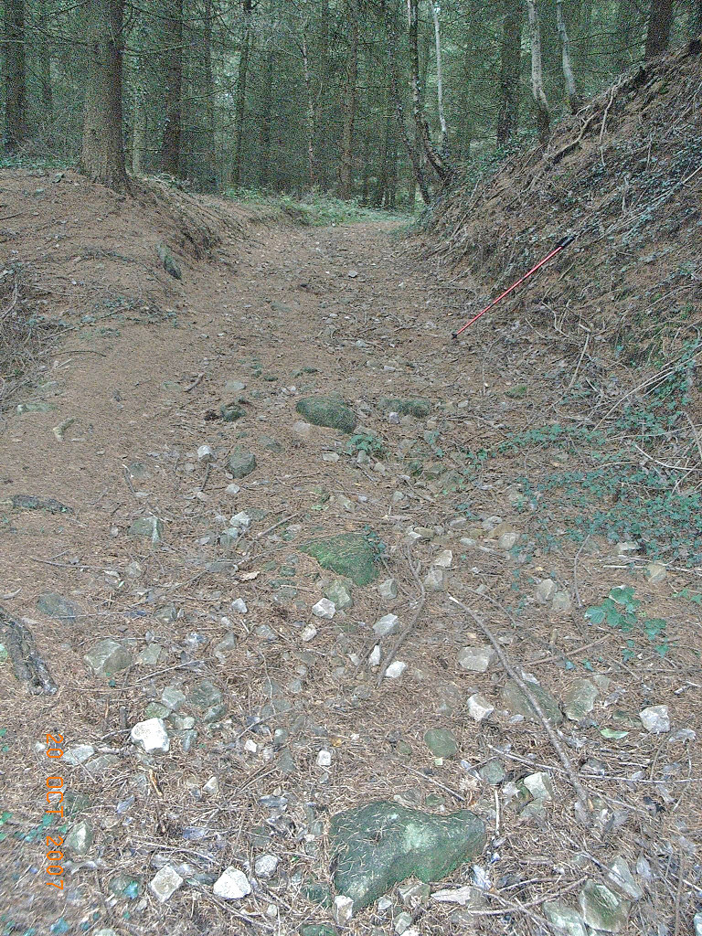
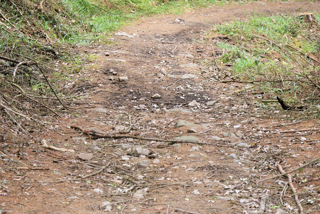
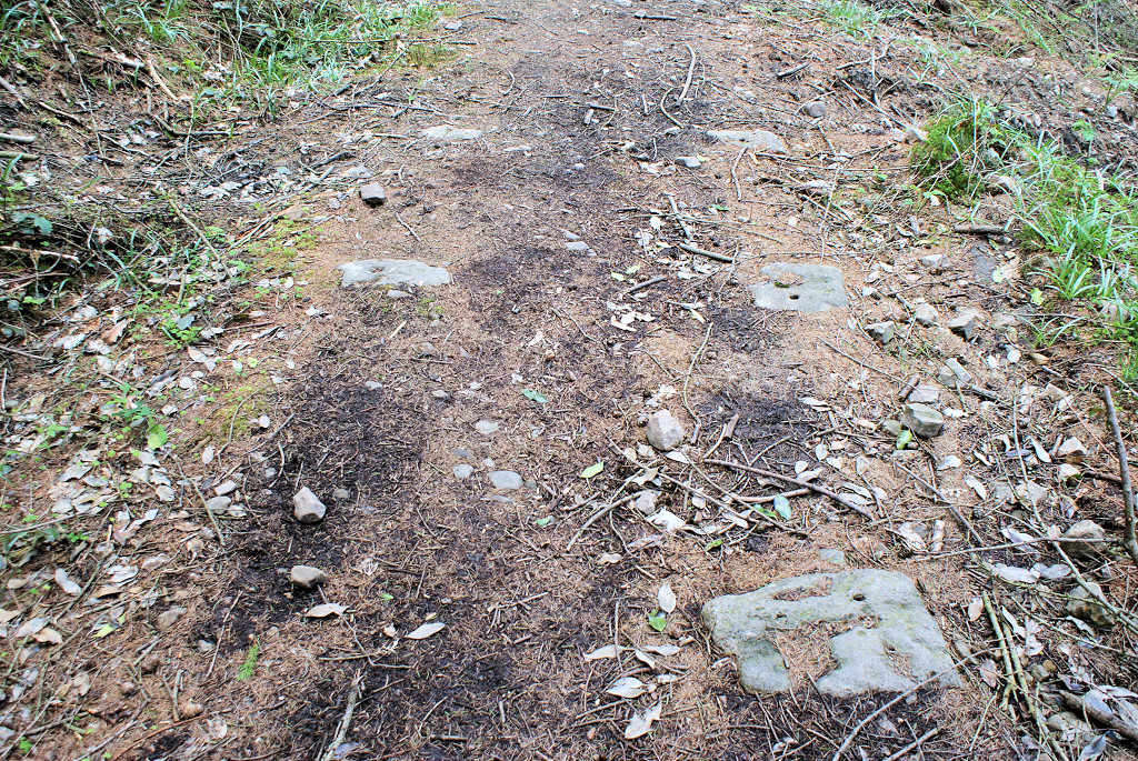
 Tramroad at loading bank |
 Tramroad from previous point |
 Tramroad from previous point |
 Tramroad from previous point |
 Tramroad from previous point |
 Tramroad from previous point |
 Tramroad from previous point |
 Tramroad from previous point |
 Tramroad from previous point |
 Tramroad from previous point |
 Down to the hairpin |
 Tramroad from previous point |
 Tramroad at the hairpin bend |
 Tramroad at hairpin bend |
||
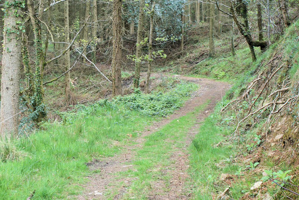
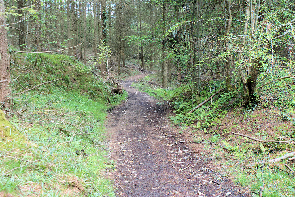
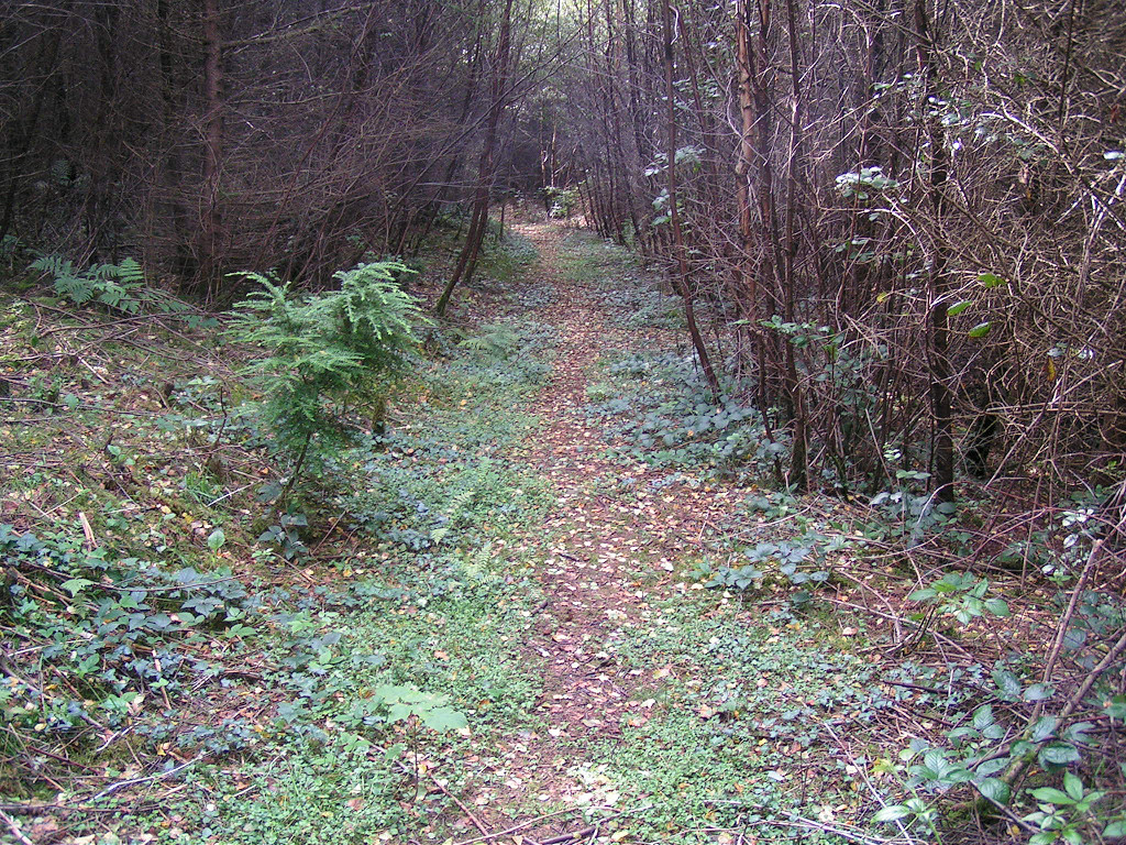
 From the hairpin to the junction |
 From the hairpin to the junction |
 From the hairpin to the junction |
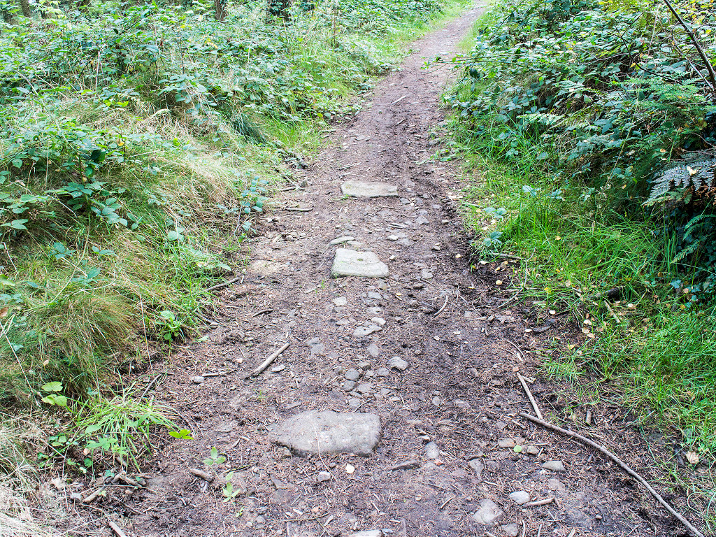
 Sleepers near Waun-fawr level |
 Sleepers near Waun-fawr level |
 Waun-fawr Tramroad sleepers |
 Waun-fawr Tramroad sleepers |
 Waun-fawr Tramroad sleepers |
 Waun-fawr Tramroad sleepers |
 Waun-fawr Tramroad sleepers |
 Waunfawr Tramroad sleepers |
 Level at hairpin bend |
 Level at hairpin bend |
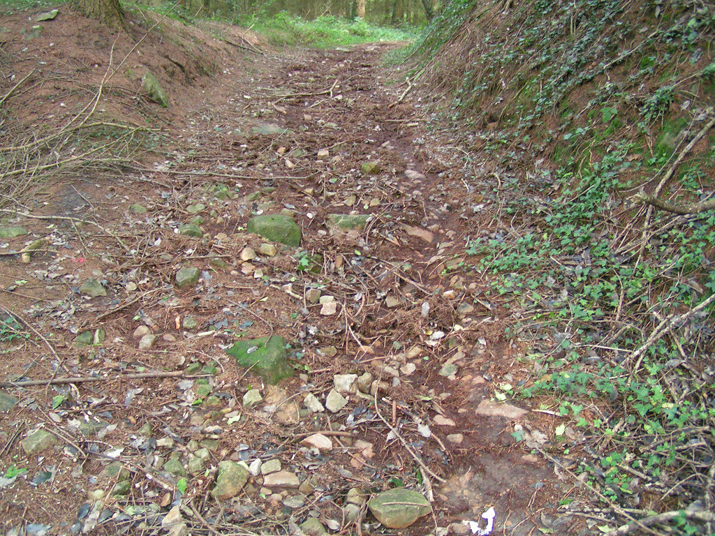
 Hairpin bend level tips |
 Hairpin bend tips |
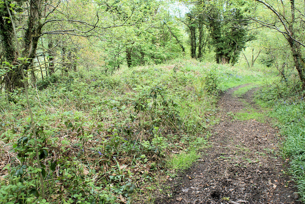
 Level beside forest road, site 1 |
 Level beside forest road, site 2 |
||
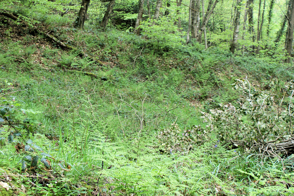
 Level above the forest road |
 Level above the forest road |
 Level above the forest road |
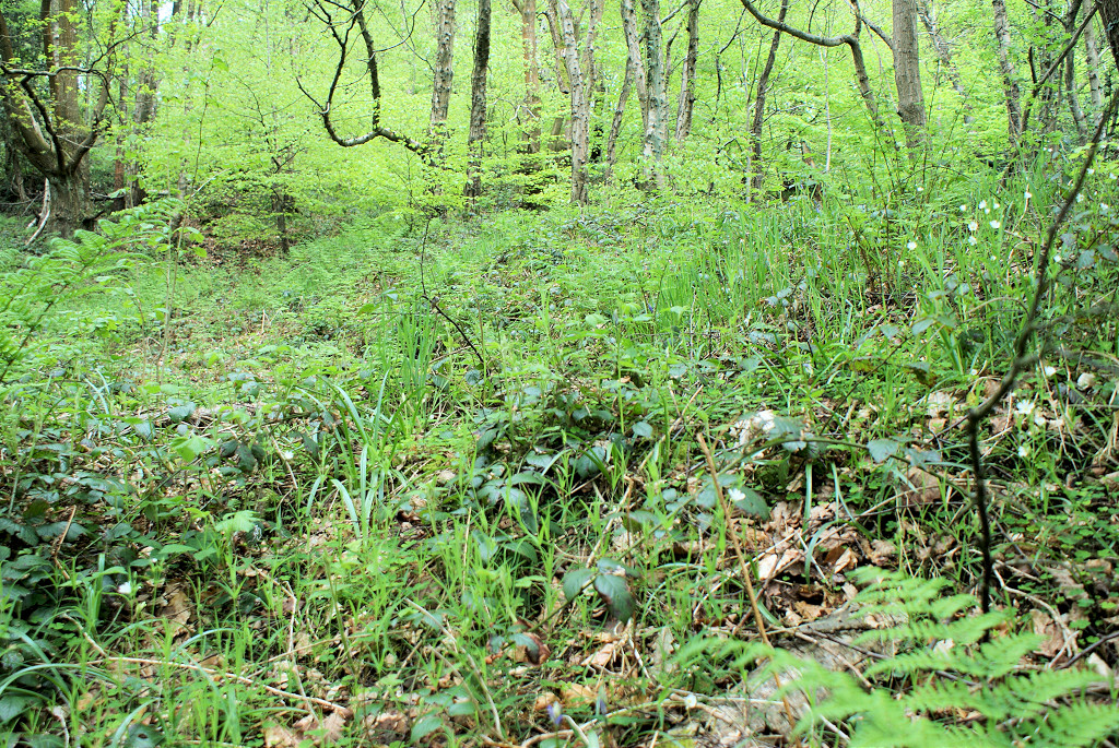
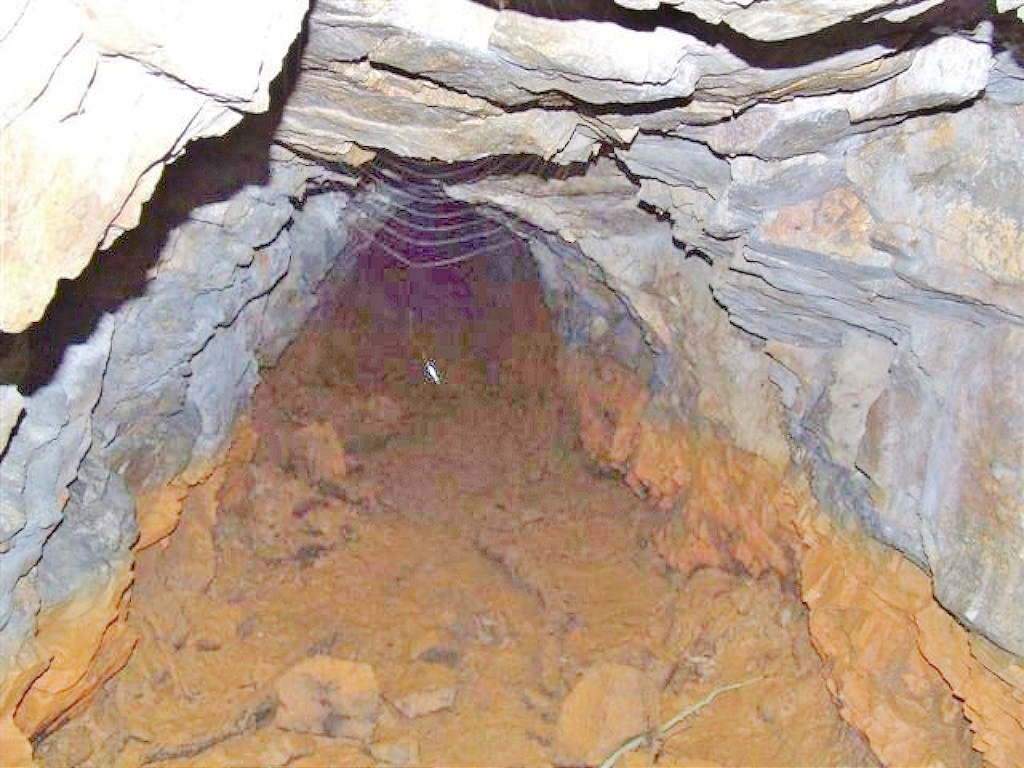
 A very bare Waun-fawr level |
 Waun-fawr Level |
 Waun-fawr Level |
 Waun-fawr Level |
 Waun-fawr Level |
 Waun-fawr Level |
 Waun-fawr Level |
 Waun-fawr Level |
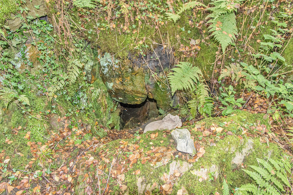
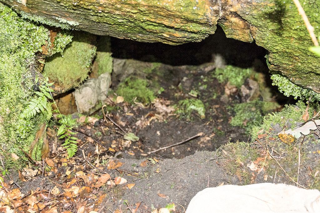
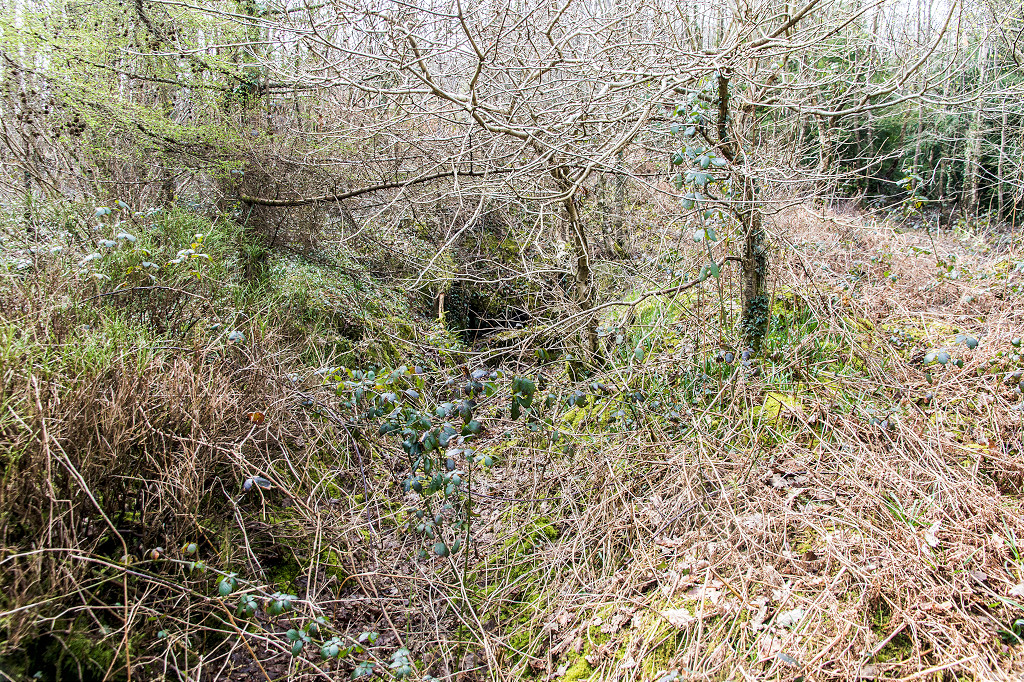
 Waun-fawr Level entrance |
 Waun-fawr Level entrance |
 Waun-fawr Level entrance |
 Waun-fawr Level entrance |
 Waun-fawr Level |
 Waun-fawr Level |
 Waun-fawr Level |
 Waun-fawr Level |
 Waun-fawr Level |
 Waun-fawr Level |
 Waun-fawr Level entrance |
 Waun-fawr Level entrance |
 Waun-fawr Level entrance |
 Collapse at side of level entrance |
 Waun-fawr level tips |
 Waun-fawr level tips |
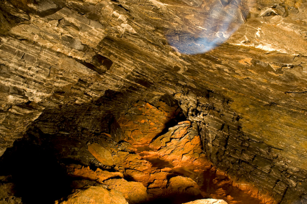
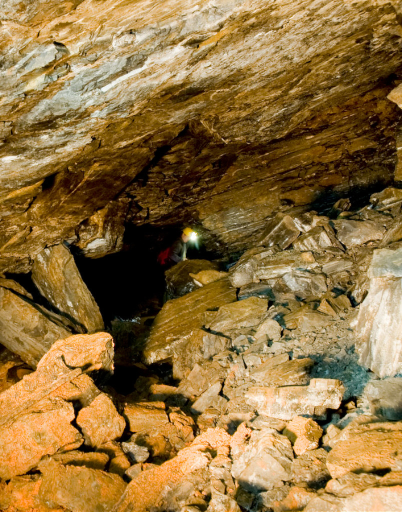
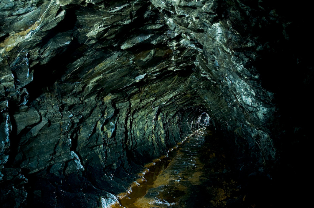
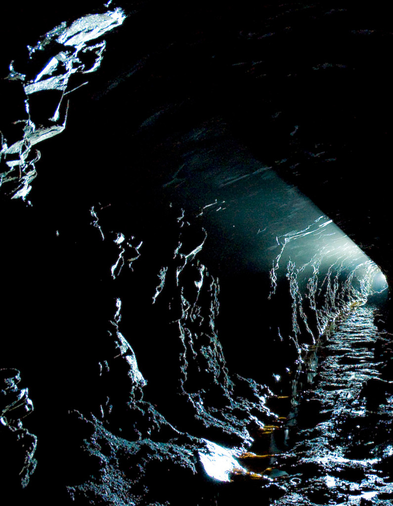
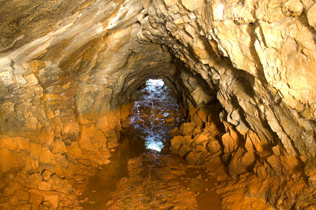
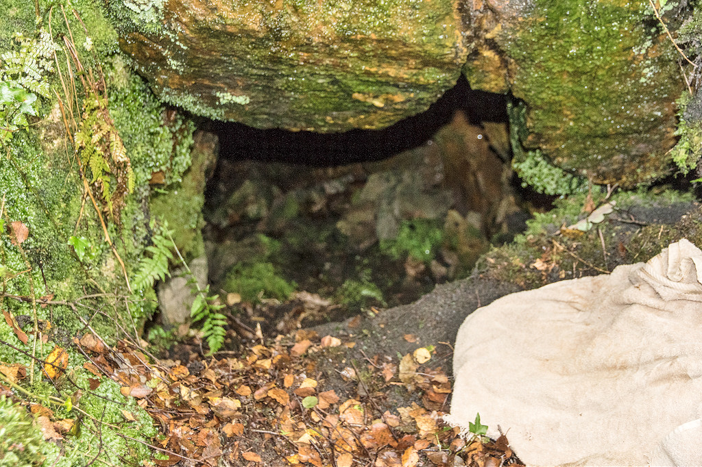
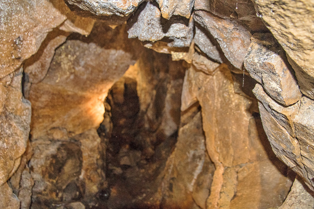
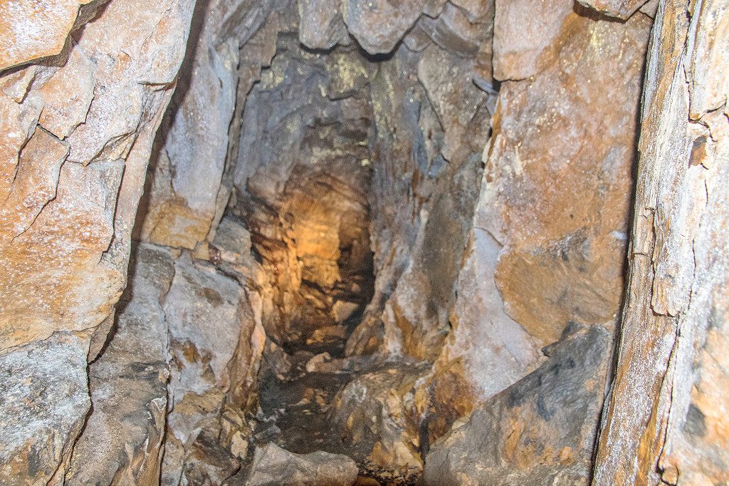
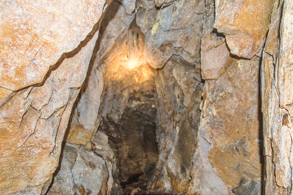
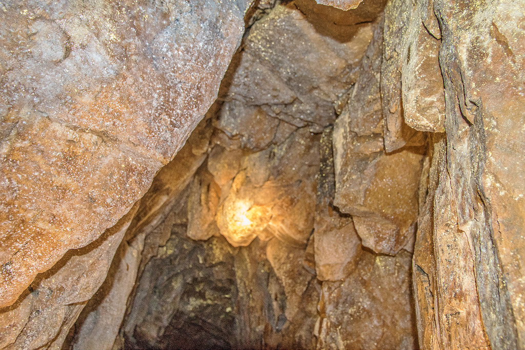
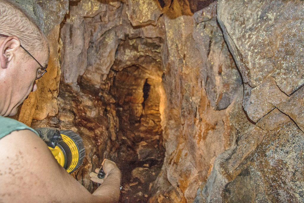
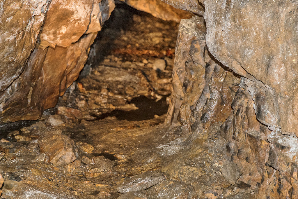
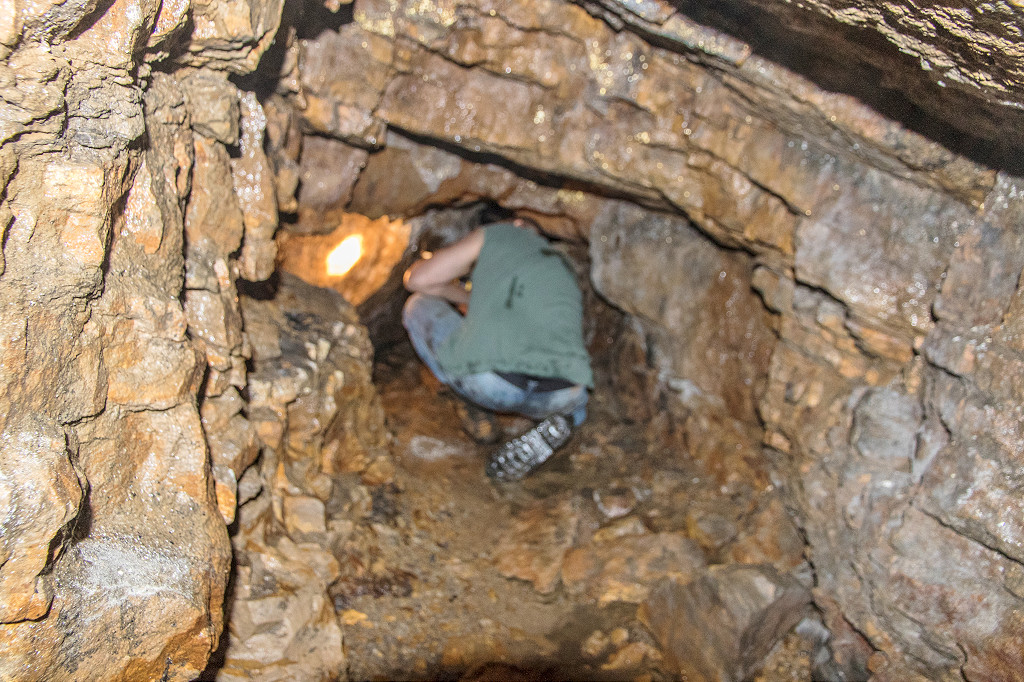
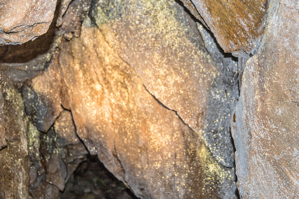
 Interior of Waun-fawr Level |
 Interior of Waun-fawr Level |
 Interior of Waun-fawr Level |
 Interior of Waun-fawr Level |
 Interior of Waun-fawr Level |
 Interior of Waun-fawr Level |
 Interior of Waun-fawr Level |
|
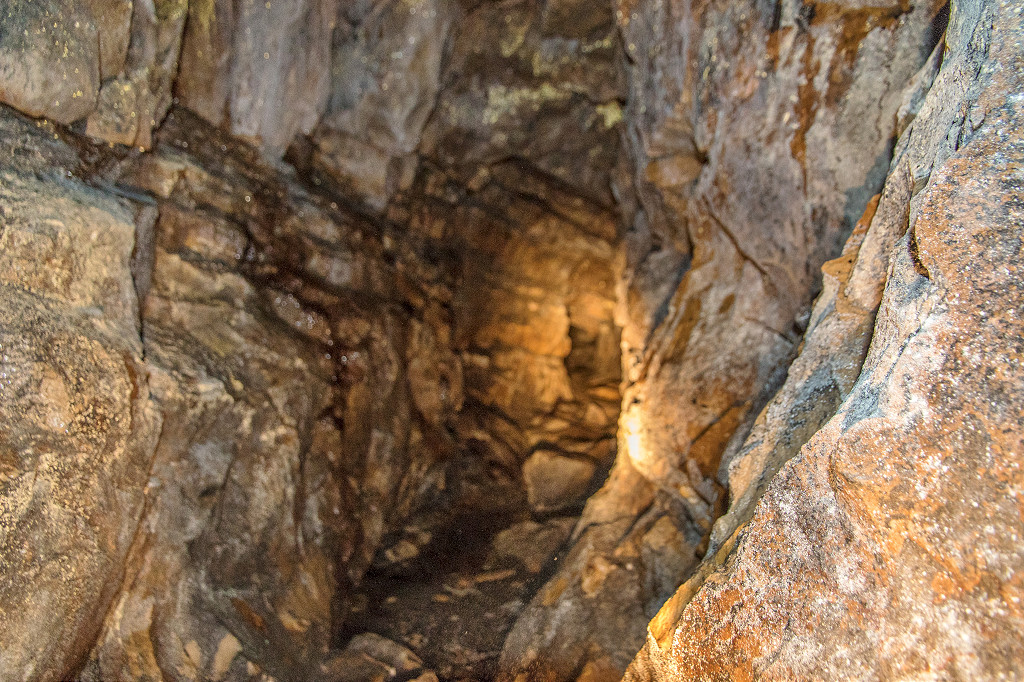
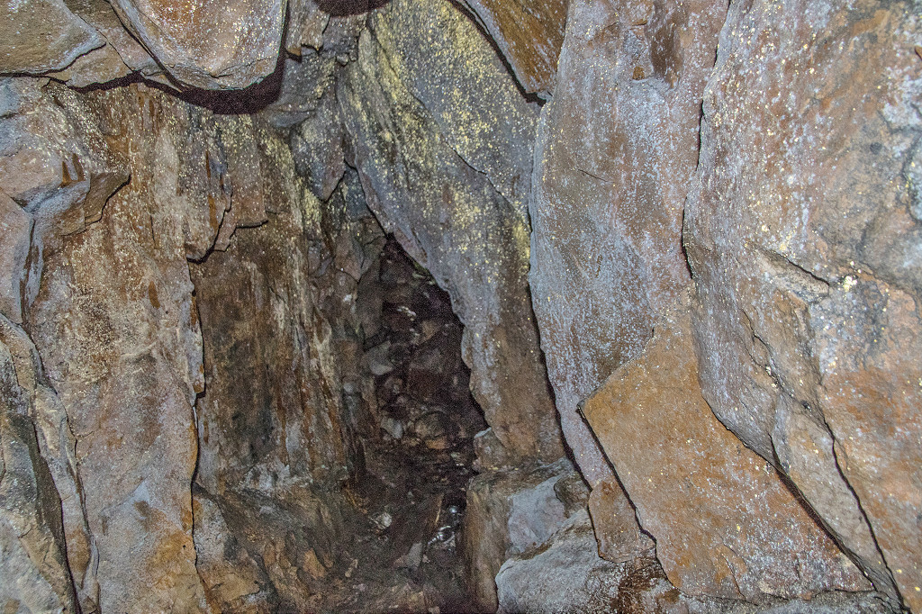
 Interior of Waun-fawr Level |
 Interior of Waun-fawr Level |
 Interior of Waun-fawr Level |
 Interior of Waun-fawr Level |
 Interior of Waun-fawr Level |
 Interior of Waun-fawr Level |
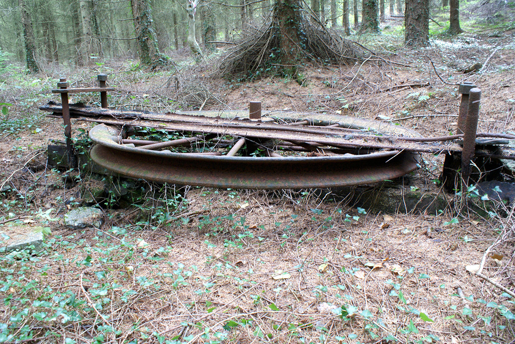
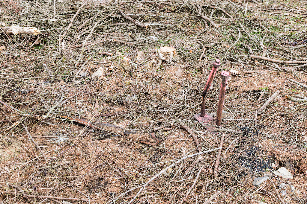 Site of the winding wheel |
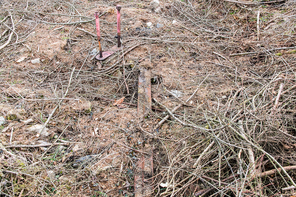 Site of the winding wheel |
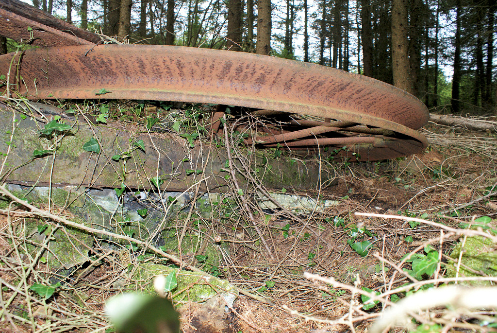
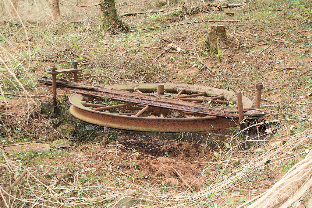
 Remains of the winding wheel |
 Remains of the winding wheel |
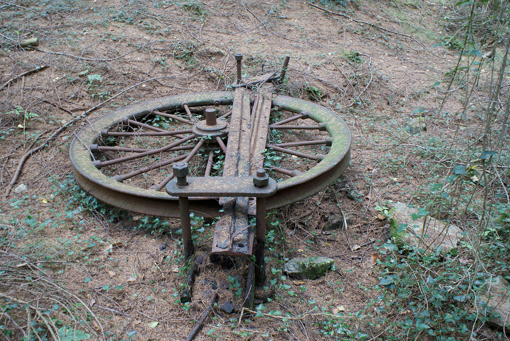
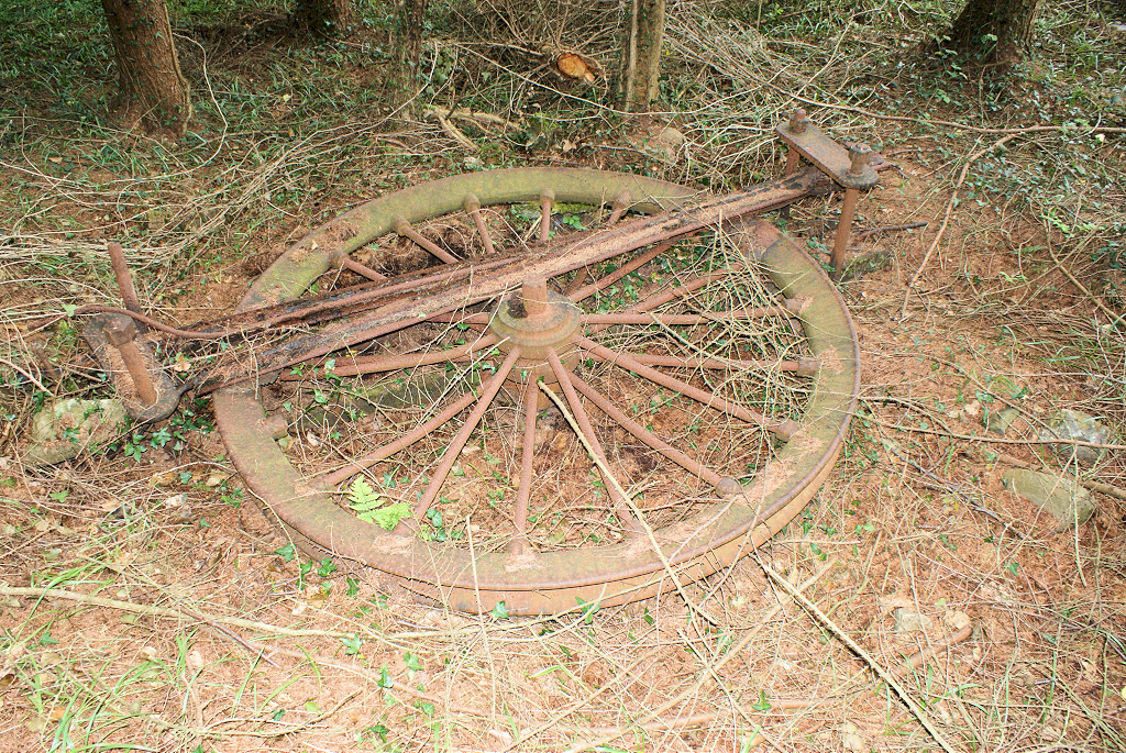 The winding wheel |
 The winding wheel |
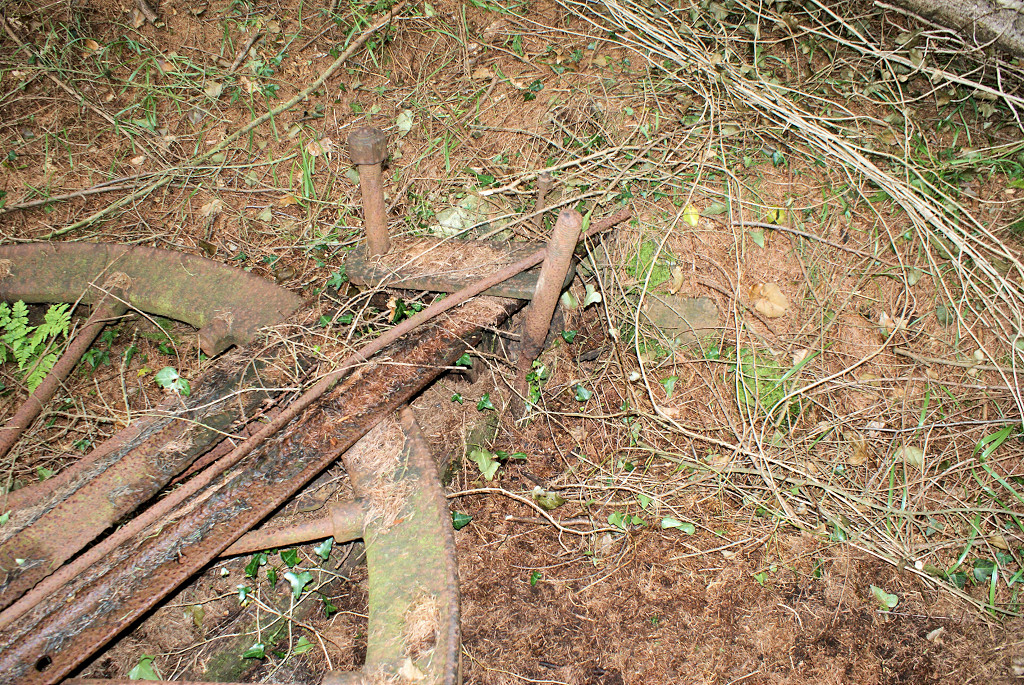 The winding wheel |
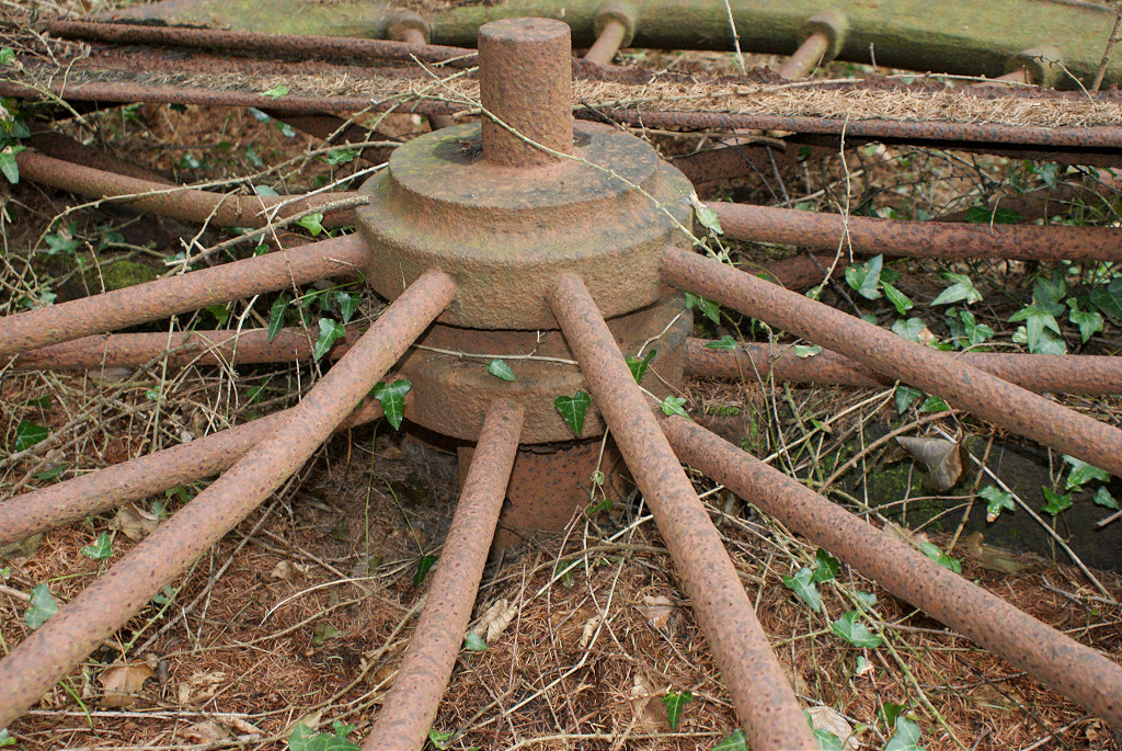 The winding wheel |
 The winding wheel |
 The winding wheel |
 The winding wheel |
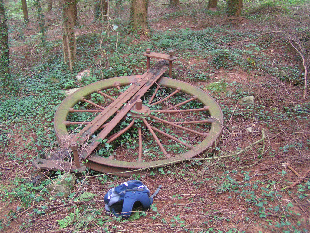 The winding wheel |
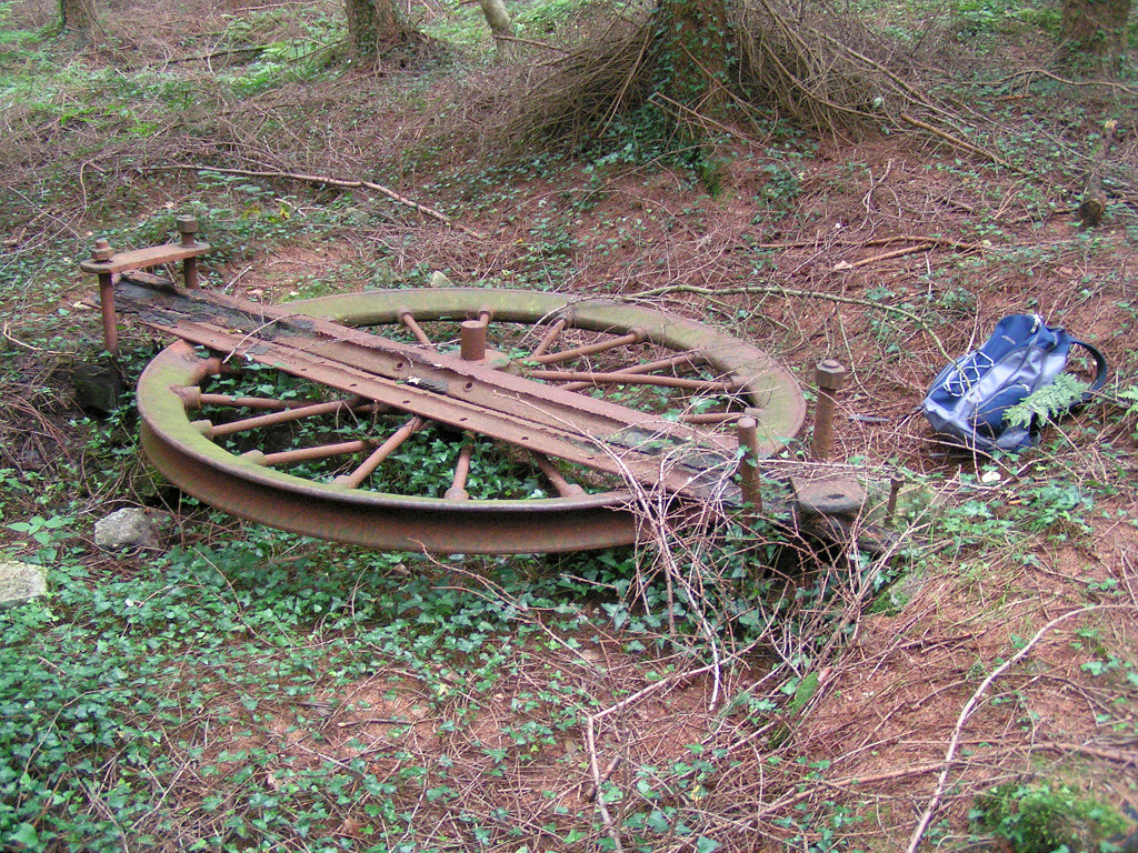 The winding wheel |
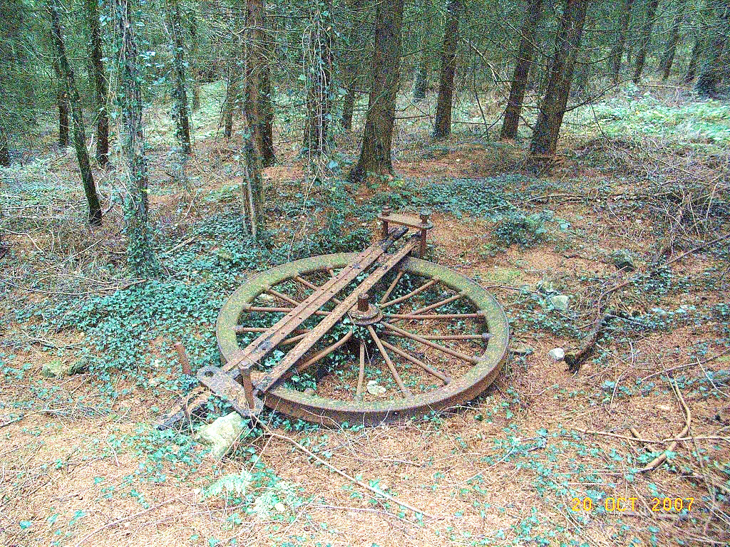 The winding wheel |
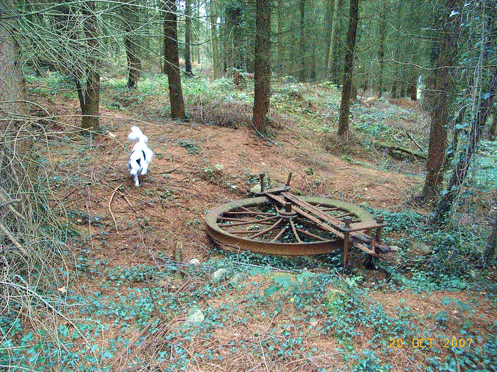 The winding wheel |
 Waun-fawr lead mine |
 Waun-fawr lead mine |
 Waun-fawr lead mine |
 Waun-fawr lead mine |
 Waun-fawr lead mine |
 Waun-fawr lead mine |
 Waun-fawr lead mine |
 Waun-fawr lead mine |
 Waun-fawr lead mine |
 Waun-fawr lead mine |
 Waun-fawr lead mine |
 Waun-fawr lead mine |
 Waun-fawr lead mine |
 Waun-fawr lead mine |
 Waun-fawr lead mine |
 Waun-fawr lead mine |
 Waun-fawr lead mine |
 Waun-fawr lead mine |
 Waun-fawr lead mine |
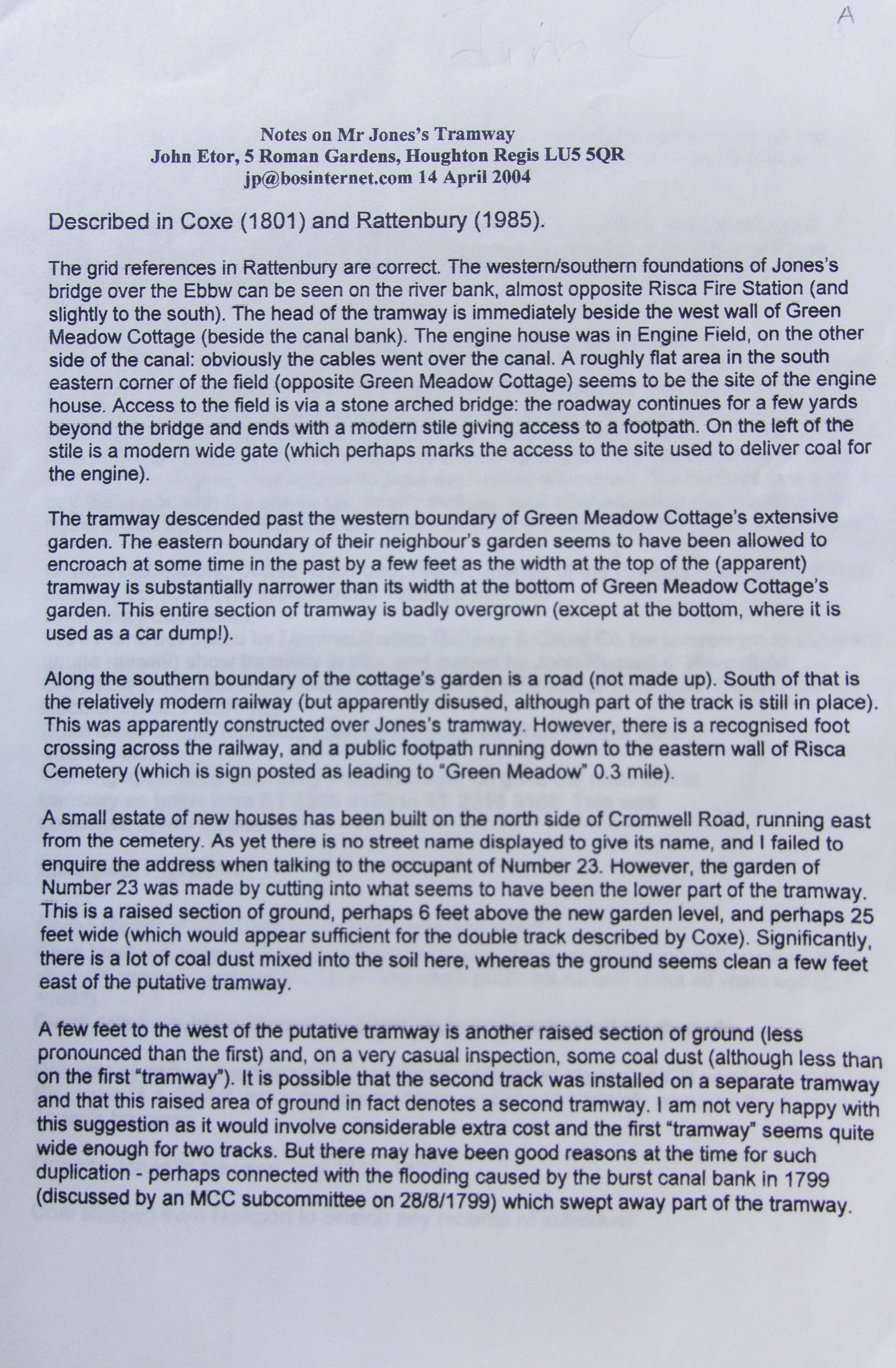 'Notes on Mr. Jones Tramroad' by John Etor, page 1 |
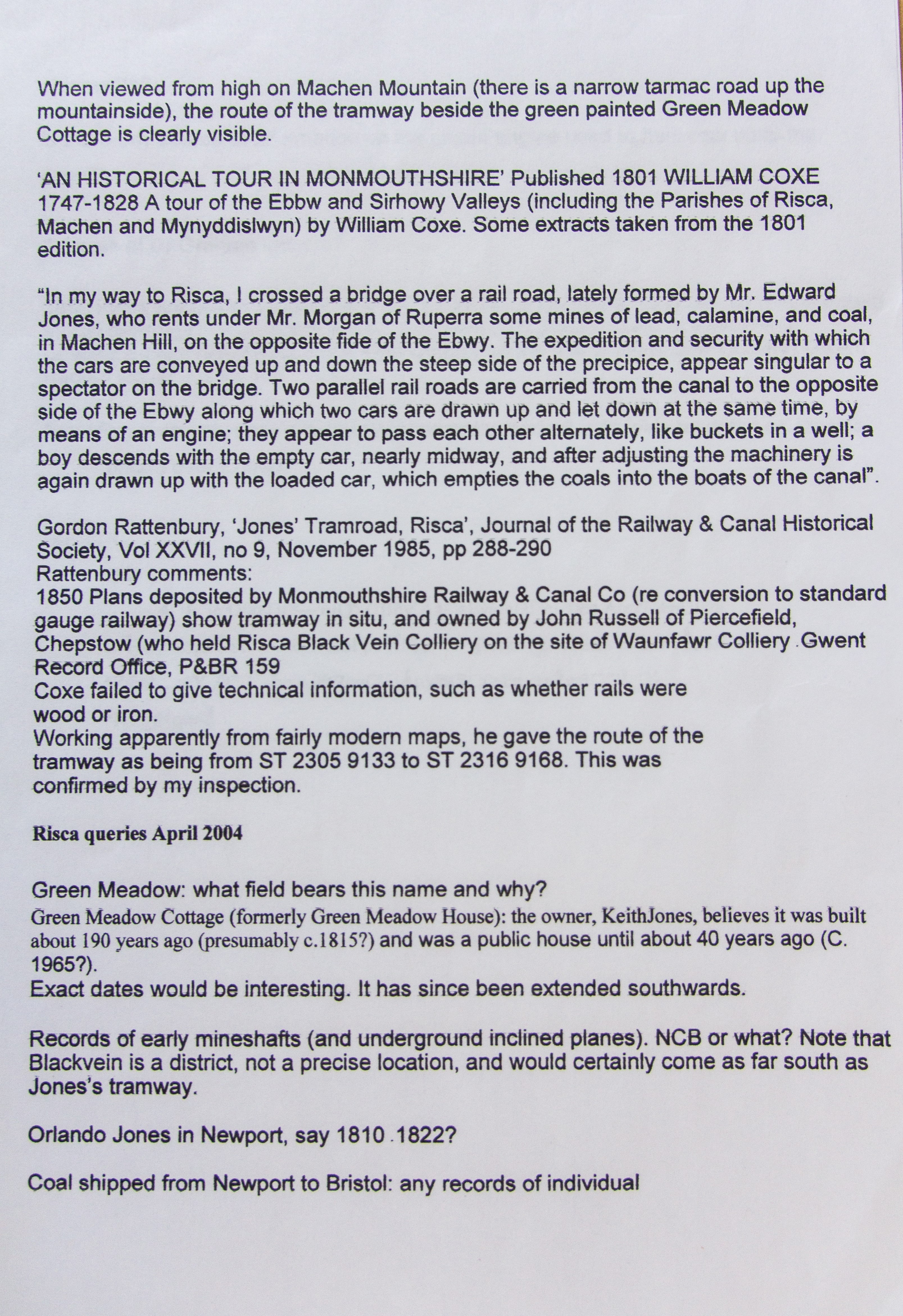 'Notes on Mr. Jones Tramroad' by John Etor, page 2 |
 'Jones Tramroad, Risca' by Gordon Rattenbury |
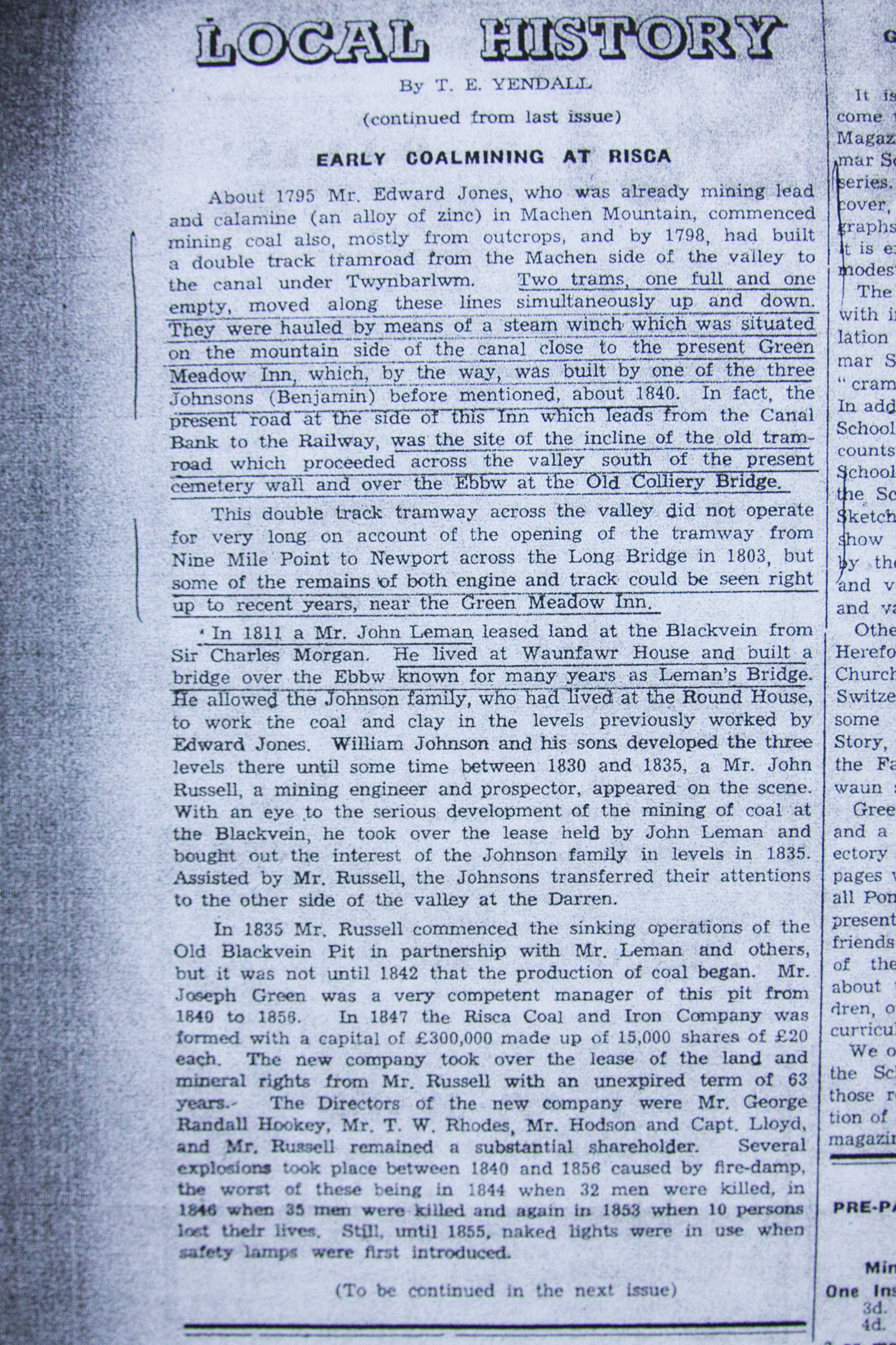 'Early coalmining in Risca' by T E Yendell |
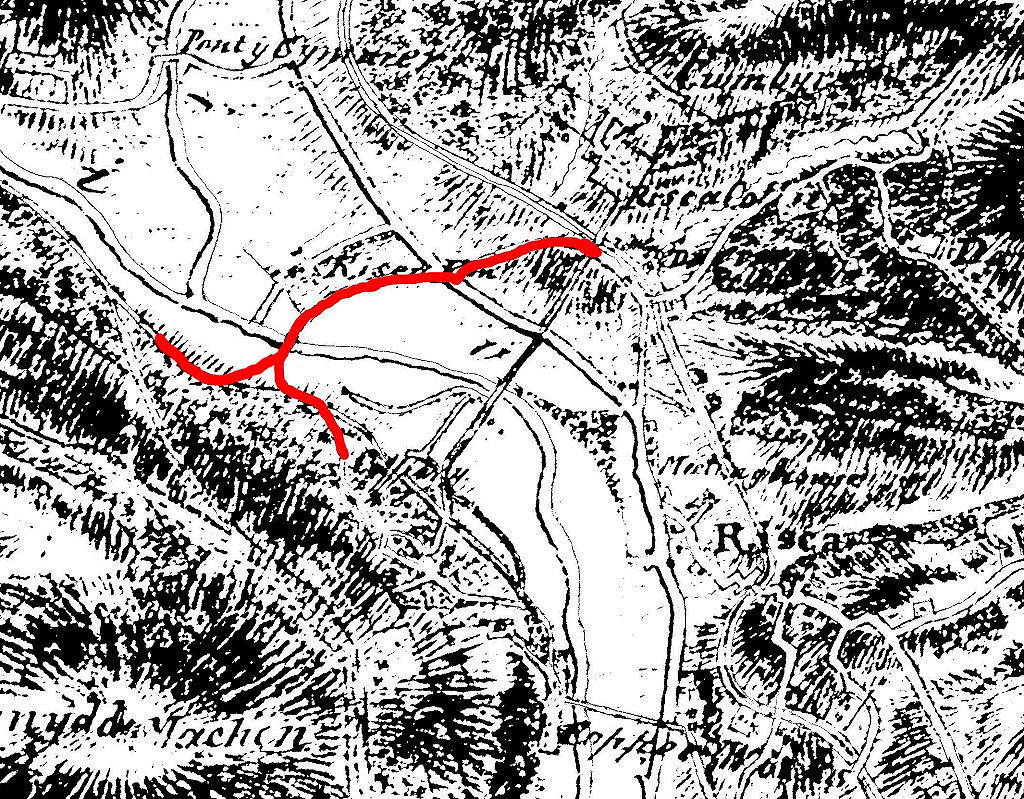
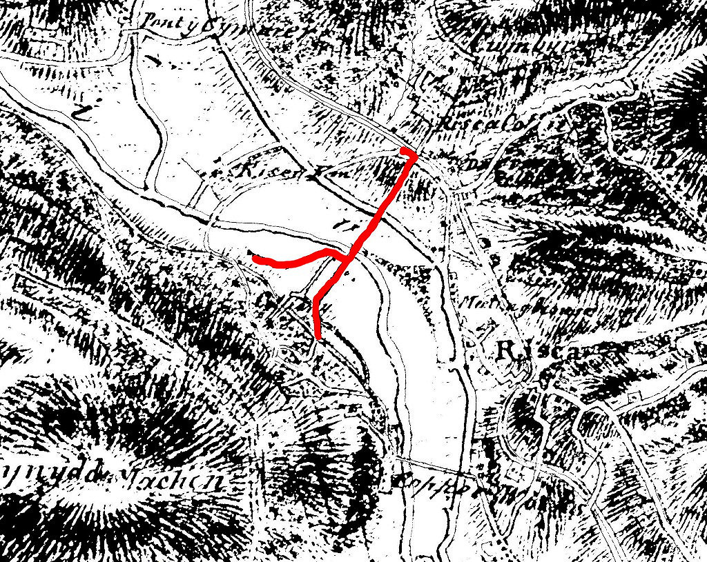 The route of Archdeacon Coxe's incline |
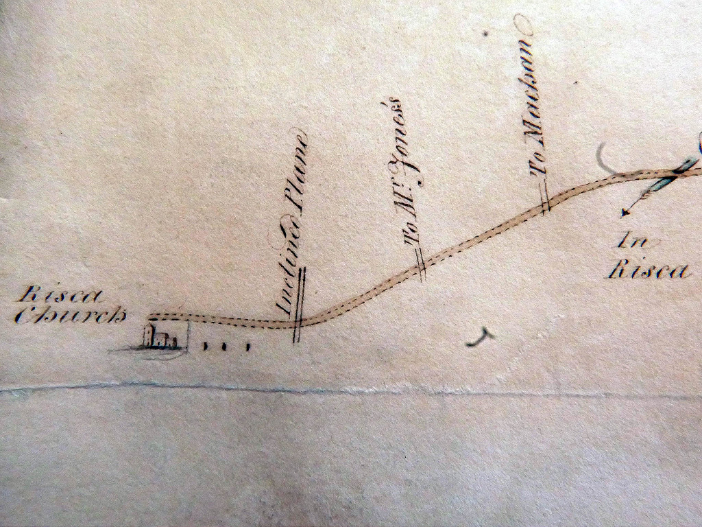 Map of Risca turnpike of 1809 |
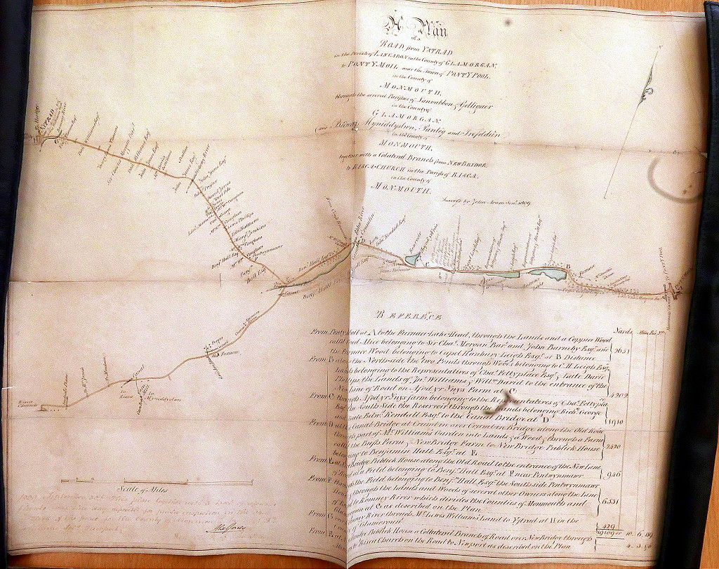 Map of Risca turnpike of 1809 |
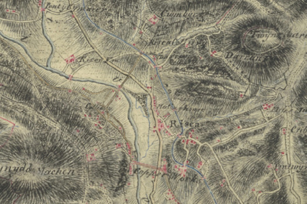 Map of 1813 |
 Map of c1820 |
 Looking up to the canal |
 Looking down from the canal |
 Looking up to the railway |
 Looking down from the railway |
 Alternative access to the colliery |
 Cae'r Engine at Greenmeadow |
 Looking up from the railway |
 Looking up from the railway |
 Looking up to the canal |
 Looking up to the canal |
 Looking down from the canal |
 Looking down to the railway |
 Medart Place crossing site |
Industrial WalesCollieries, Ironworks, Quarries, Railways, Canals, Tramroads, Tunnels, Culverts and so much more....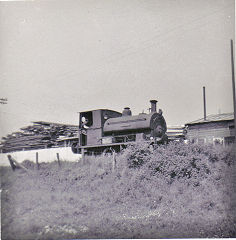
|
Brickworks of WalesBricks are 'History with a label' so here's the story of the Brickworks of Wales - photos, maps and the products themselves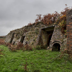
|
Around the WorldMy travels around the UK and the Whole Wide World in search of industries, railways, trams and mines to name a few.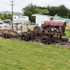
|
Boundary Stones and MilepostsBoundary Stones, Mileposts and other markers in simple alphabetical order of their initials, name or site.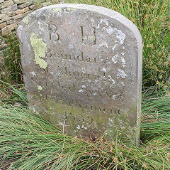
|
Ships and ShippingShips around the World in simple alphabetical order of their name (or apparent area if I can't read the name).
|
The Site Map and IndexA full list of all the pages of the whole website in just one place, so you should find exactly what you are looking for.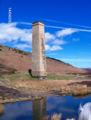
|
About the SiteThe background and technical details about the site, plus a contact page and links to other sites - and a warning !!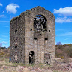
|
Contact MeSomething to add? A great photo? Something wrong? or need to know more about things? Just drop me a line here.
|
Further ReadingYou can find lots of local and other very helpful websites, books, magazines and Facebook groups all listed here.
|