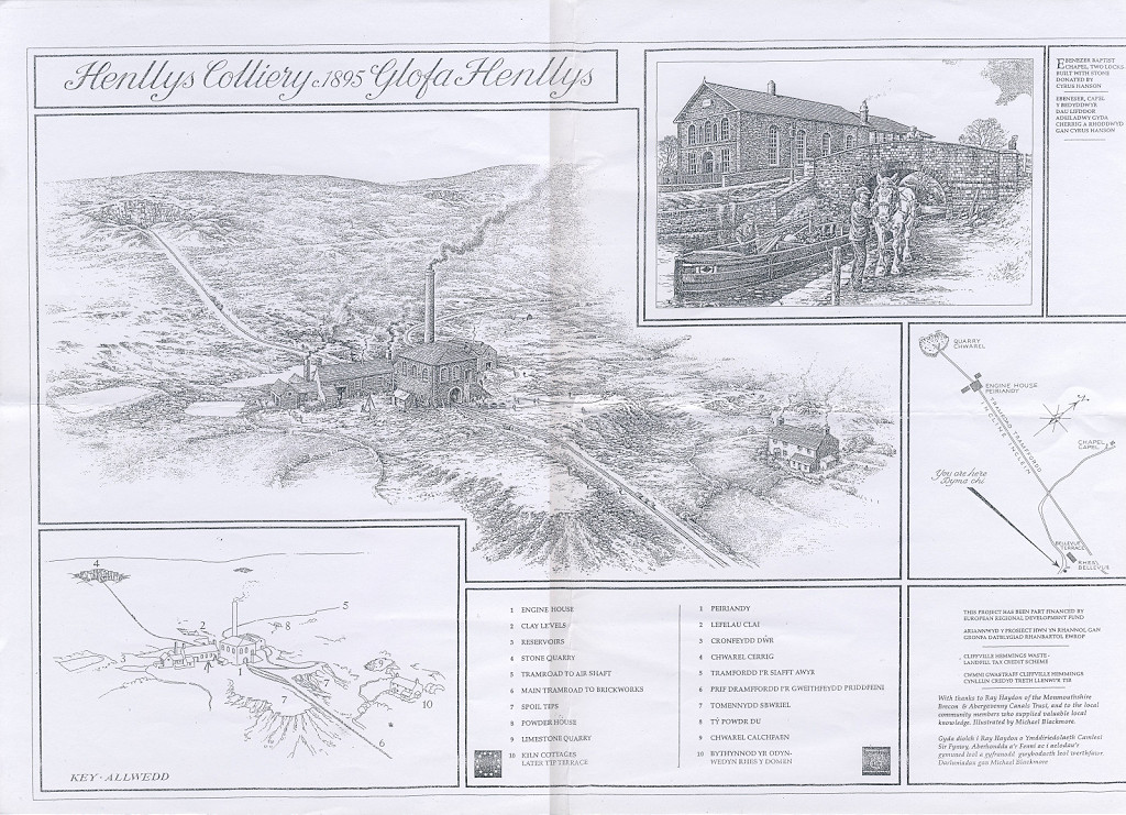
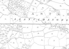
The Industrial Archaeology and History of the Eastern Valley
Or click on the button to go to :-
Click on the thumbnail to enlarge a photo or map and sometimes read more about it.
Then click 'Full Size' on the toolbar to see it in all its glory.
Historic photos of the area
Photos of Henllys Colliery, the incline and the brickworks when working seem to be very few and far between.
If anyone has any more they would like to share, they would be very welcome.
Just drop me an e-mail to industrialmon (at) gmail (dot) com.
Don't forget to put something in the subject line or the anti-spam filter will swallow it!
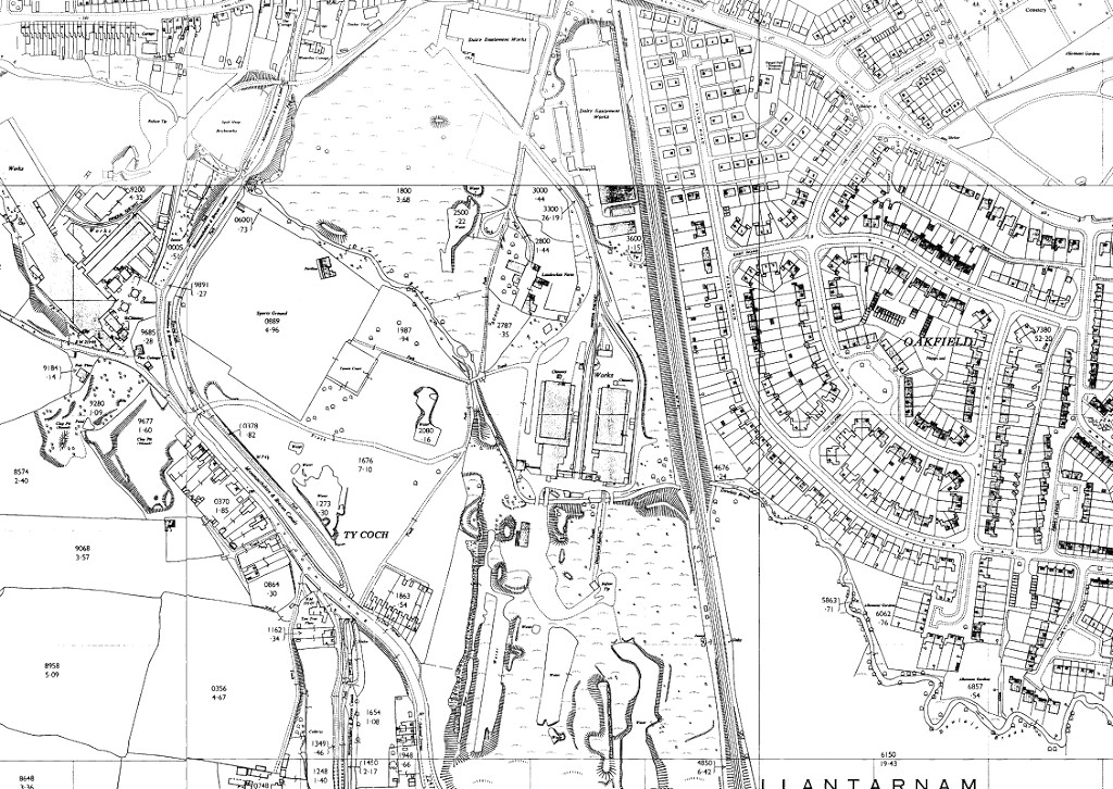
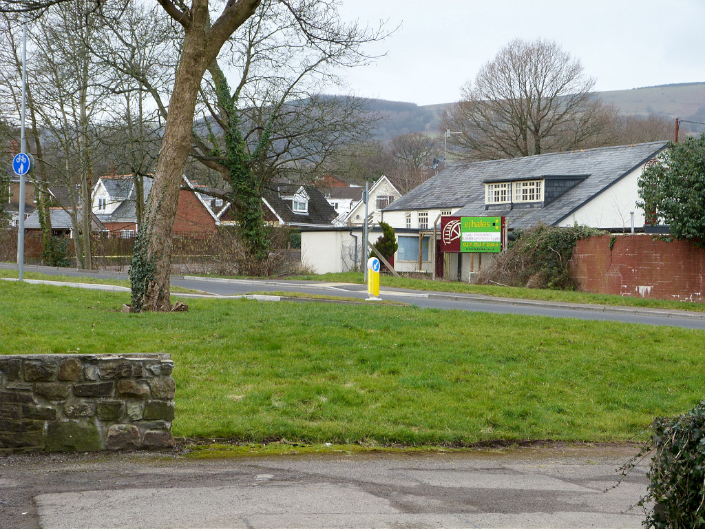
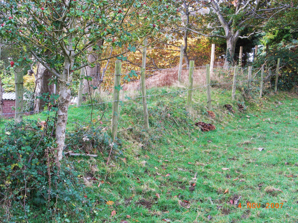
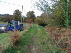
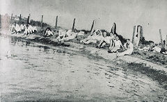
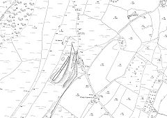
Oakfield - the Wireworks and the Brickworks
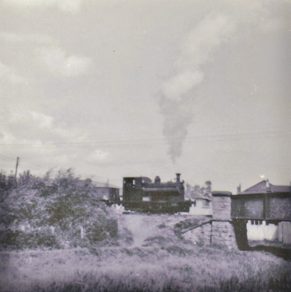
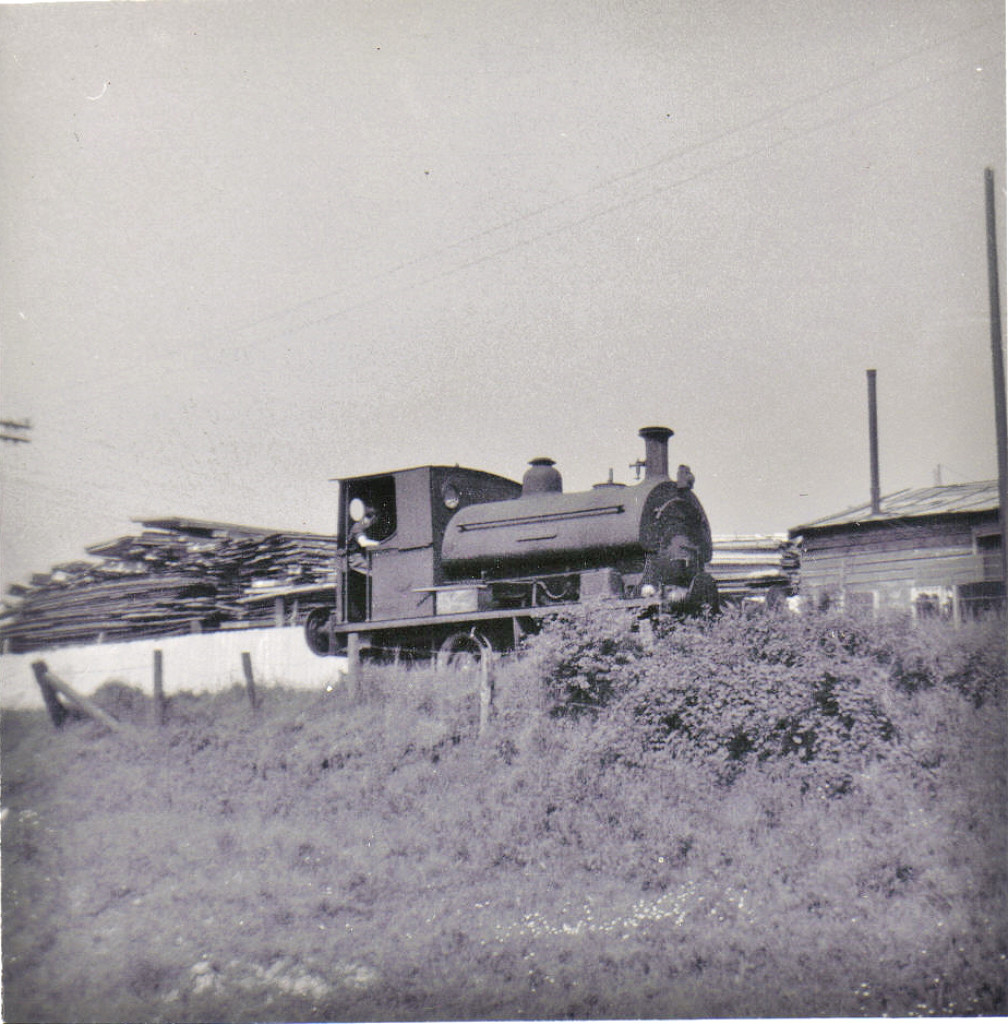
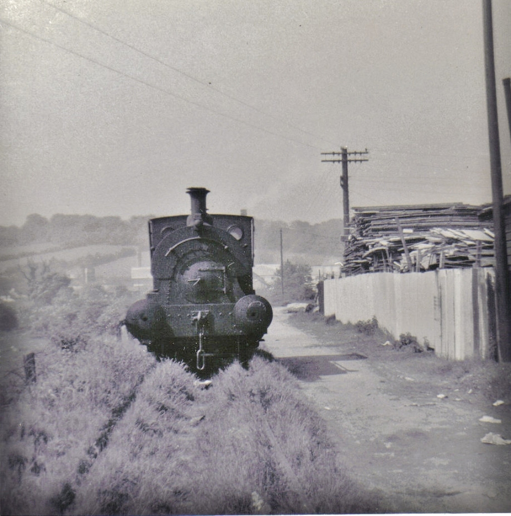
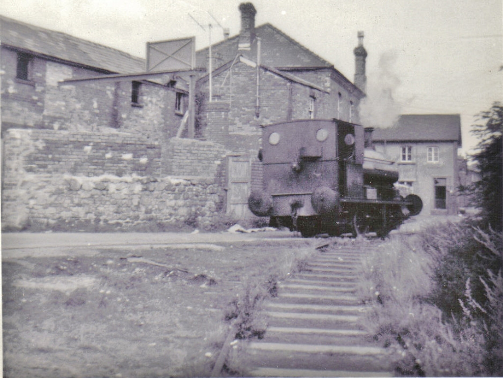
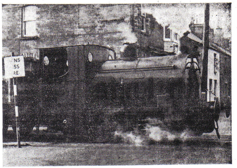
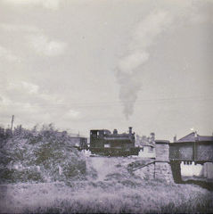
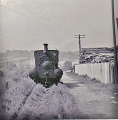
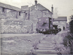
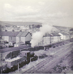
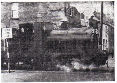
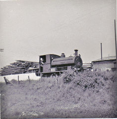
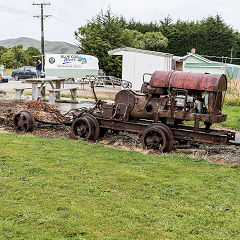
'Whitehead' at work - June 1966
'Whitehead' was built by Peckett and Sons of Bristol in 1908, Works Number 1163, for Cefnstylle Colliery, West Glamorgan, where it was named 'Cefnstylle' on delivery but changed to “Cefngoleu” when the colliery changed its title. On the closure of Cefngoleu the loco went to the colliery's owners, Bethlwyd Colliery, probably only for storage. At some time in the 1910s she was loaned to Swansea Harbour Trust for work in Swansea Docks. In 1921 after 13 years service 'Whitehead' was rebuilt by Peckett and stored until 1937 when it was bought by Whitehead, Hill and Co. for use on the Oakfield Wireworks system. When the works closed in 1966 'Whitehead' was sold to a private buyer and stored until 1971 at Highbridge when she was bought by members of the Great Western Society and moved to the West Somerset Railway. In 1982 she was sold again and moved to the Southport Railway Centre. After a six year overhaul she was steamed at the Preston Docks Maritime Festival before moving in 1998 to the Manchester Museum of Science and Industry in 1998. In July 1999 'Whitehead' was moved to the Midland Railway at Butterley and in 2011 appeared on the Pontypool and Blaenavon Railway after overhaul, only 103 years old!
'Whitehead' at Two Locks
|

'Whitehead' on the line
|
'Whitehead' on the line
|
'Whitehead' at the junction
|
'Whitehead' at Abbey Road
|

'Whitehead' at Abbey Road
|
|
'Whitehead' at Cefnstylle Colliery
|
'Whitehead' in the wireworks
|
'Whitehead' at Llandowlais Street
|
This video is of Melvyn Davies' Grandfather driving 'Whitehead' in 1966. It was on the 'Cwmbran - past and present' Facebook page but I've been unable to get in touch with Melvyn so if you're reading this, please drop me a line, I'd love to know more. © L.J.Davies 2013
Link to video
|
'Whitehead' - the movie, 1966
|
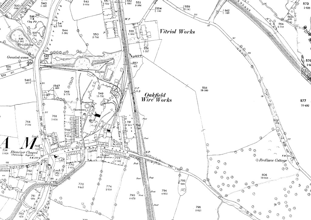
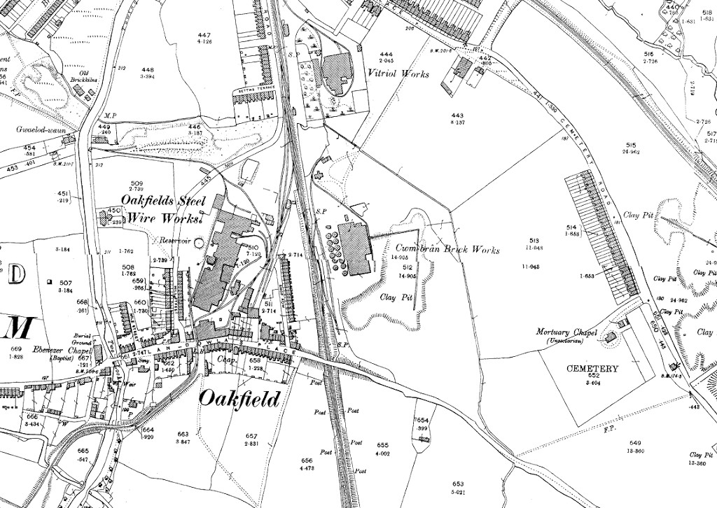
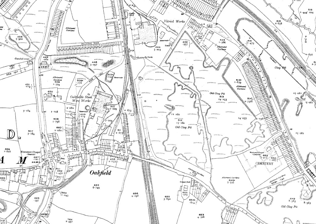
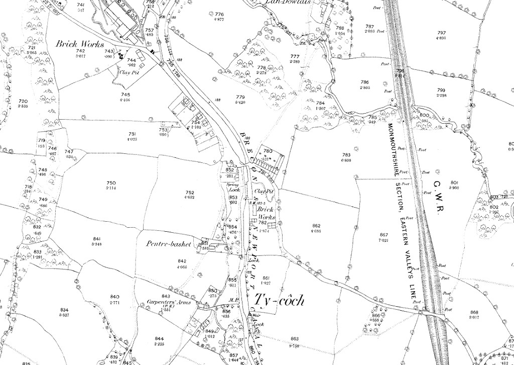
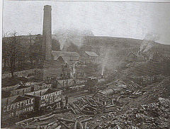
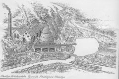
Oakfield Wireworks (Whitehead, Hill and Co) - ST 2925 9430
When I took the photos of 'Whitehead' at work I was taken round the wireworks to see the derelict remains of 'Hill', I just wish I'd taken some more photos.
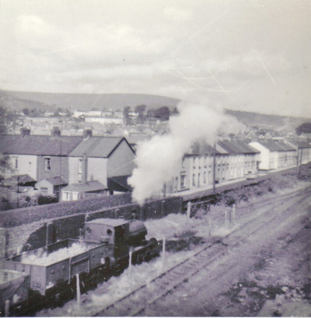
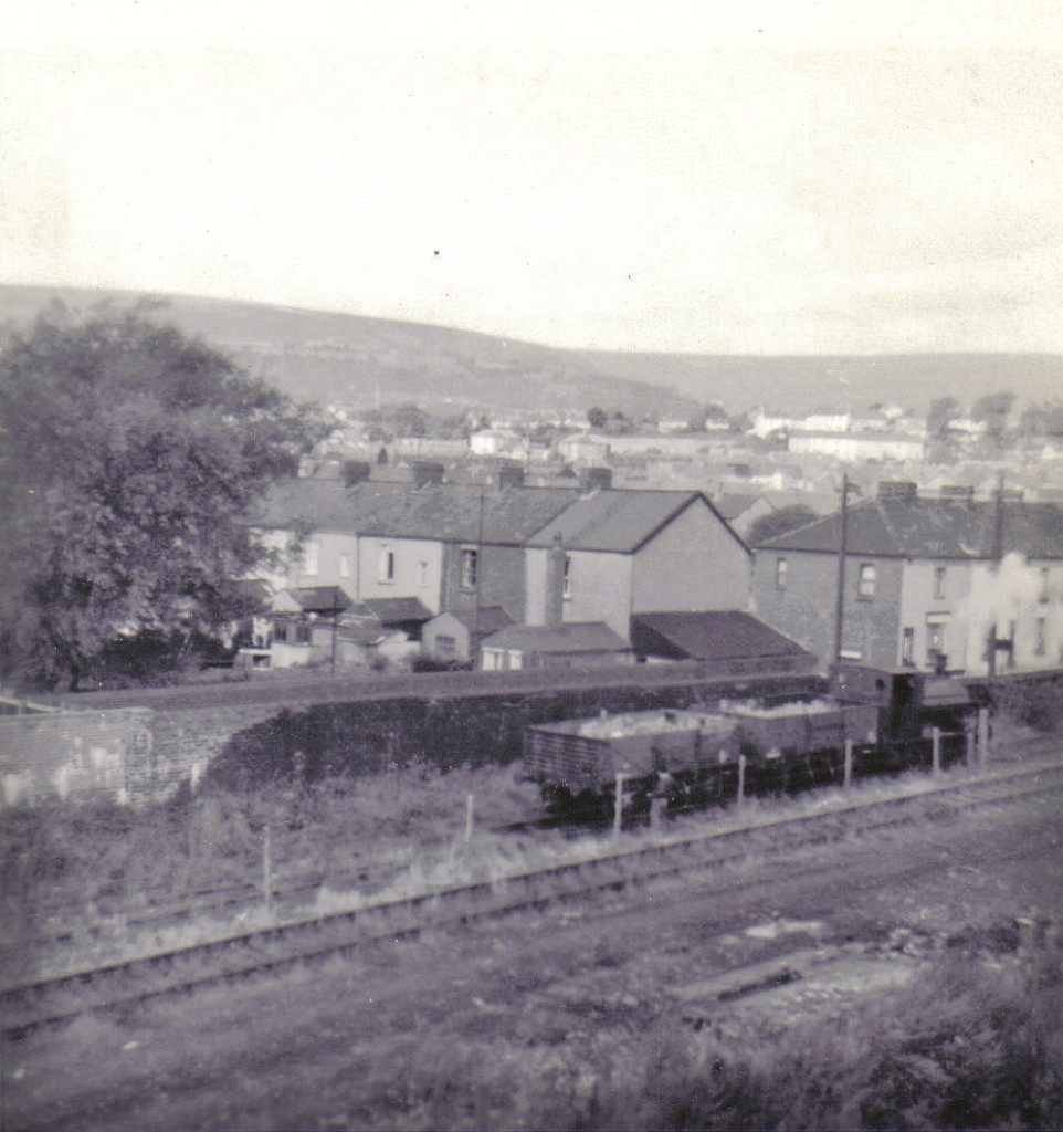
The hub of the system situated at the heart of Oakfield village, the wireworks was opened in 1857 by J.C.Hill with connections to both the MRCC's canal and railway. The company became Whitehead, Hill & Co Ltd in 1925, a subsidiary of Whitehead Iron & Steel Ltd. The railway link is assumed to have opened in 1877 with the purchase of 'Perseverance' and closed in December 1966 when the contract to supply coal to the white brickworks ended. The works passed to BSC in 1968 and closed in 1971. The railway system connected to the MRCC just south of Cwmbran goods yard, opposite the Vitriol Works. From the internal system, one spur crossed Hill Street to a wharf on the canal and the other left the wireworks by a fine set of iron gates, crossed Llandowlais Street and immediately forked to the red and white brickworks. The site is now the TA Headquarters and a small industrial estate. The railway system was operated by three 0-4-0 saddletank locos, named 'Perseverance', 'Whitehead' and 'Hill' (IRS Gwent).
'Perseverance' was purchased new from Manning, Wardle & Co of Leeds (Works No. 675) in 1877 and worked until 1925 when it went off to Moderator Wharf, Newport, soldiering on there until 1950.
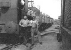
'Hill' came secondhand from Hayle, Cornwall, in 1924, displacing 'Perseverance'. It was built in 1917 by Peckett & Co of Bristol (Works No. 1448) and was latterly used to keep 'Whitehead' running, finally being scrapped when the line closed. In June 1966 it was partially dismantled in the engineering shops of the wireworks.
'Whitehead' arrived in 1936 or 1937 from Berthlwyd Colliery, Swansea, another but older Peckett dating from 1908 (Works No. 1163). Despite being the elder sister it ran the line until the end usually taking a single wagon of coal across the canal to the 'white' brickworks, which had very difficult road access. Either loco was always referred to as 'Puffing Billy' when being watched avidly through the iron fence round the brickworks by a certain small boy! By the time he was old enough to trainspot properly, he was very disappointed to not find them listed in his Western region 'ABC'.
The site of the wireworks is now the TA Headquarters, interesting military hardware, but nothing left of the wireworks. Modern Ty Coch Way roughly follows the original Hill Street and the Western wall of the works yard. The modern electricity sub-station at ST 2918 9430 sits on the original site of the brick-built version which was inset into the Wireworks wall. I seem to remember it being inscribed 'Cwmbran Urban District Council 1937'. The siding to the canal wharf crossed the road at the end of the industrial units opposite. The level crossing and junction to the two brickworks are more or less under the roundabout. Cwmbran Drive follows the course of the Monmouthshire Railway and the end of Abbey Road is where the wireworks railway joined the MRCC line.
Terry Cantelo has fond memories of Oakfield and says "My name is Terry Cantelo and although I was born in Bristol at the start of the war I lived at my grandparents house at No 16 Llandowlais Place until I was about 6. My grandparents were David and Mary Jane Dabinette and grandad was the caretaker for the sports field some where at the bottom of the canal near Dowlais brook. Although about seventy years plus on, I can still remember the little train coming down from the brick works to the wireworks gates. I attended for a short while St Dials schools and also Two Locks chapel. I used to have lots of fun trying to catch the fish in the brook and getting up to mischief in grandads storage shed on the sports ground, where one day I tipped creosote all over me, grandad was not amused. I can remember where the train use to cross into the wire works just a bit back from the crossing a butchers shop and also I think a blacksmiths shop. On the other side of the crossing on the same side of the road a green grocers. Next to the Railway Inn on the wire works side of the road across from Hill street was a little bungalow.
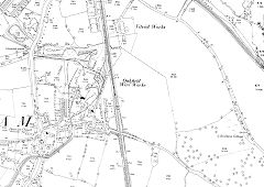
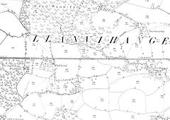
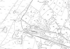
Oakfield Wireworks, 1880
|
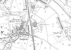
Oakfield Wireworks, 1901
|
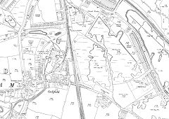
Oakfield Wireworks, 1920
|
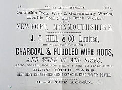
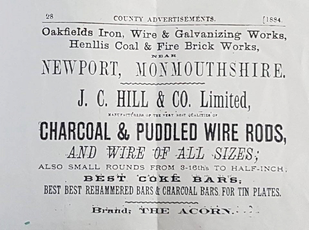
J C Hill & Co Ltd advert, 1884
|

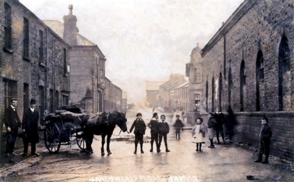
Llandowlais Street, Oakfield
|

Llandowlais Street, Oakfield
|
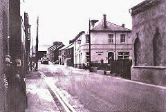
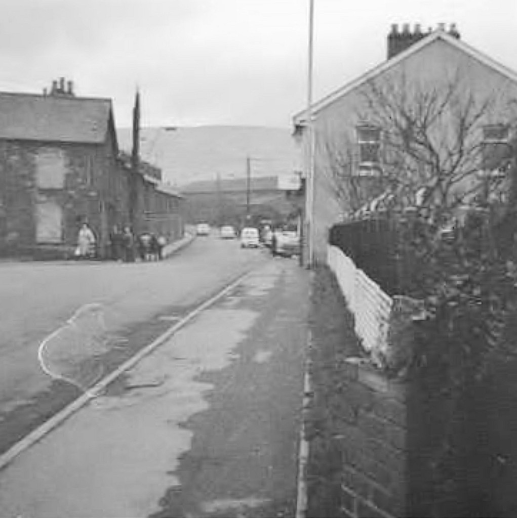
Llandowlais Street, Oakfield, c1970
|
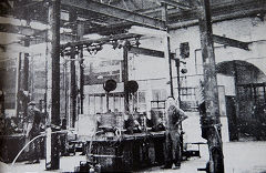
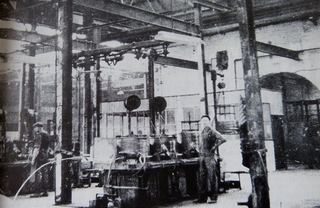
The interior of Oakfield Wireworks
|
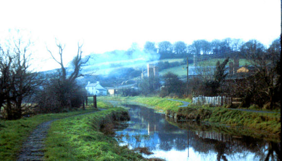
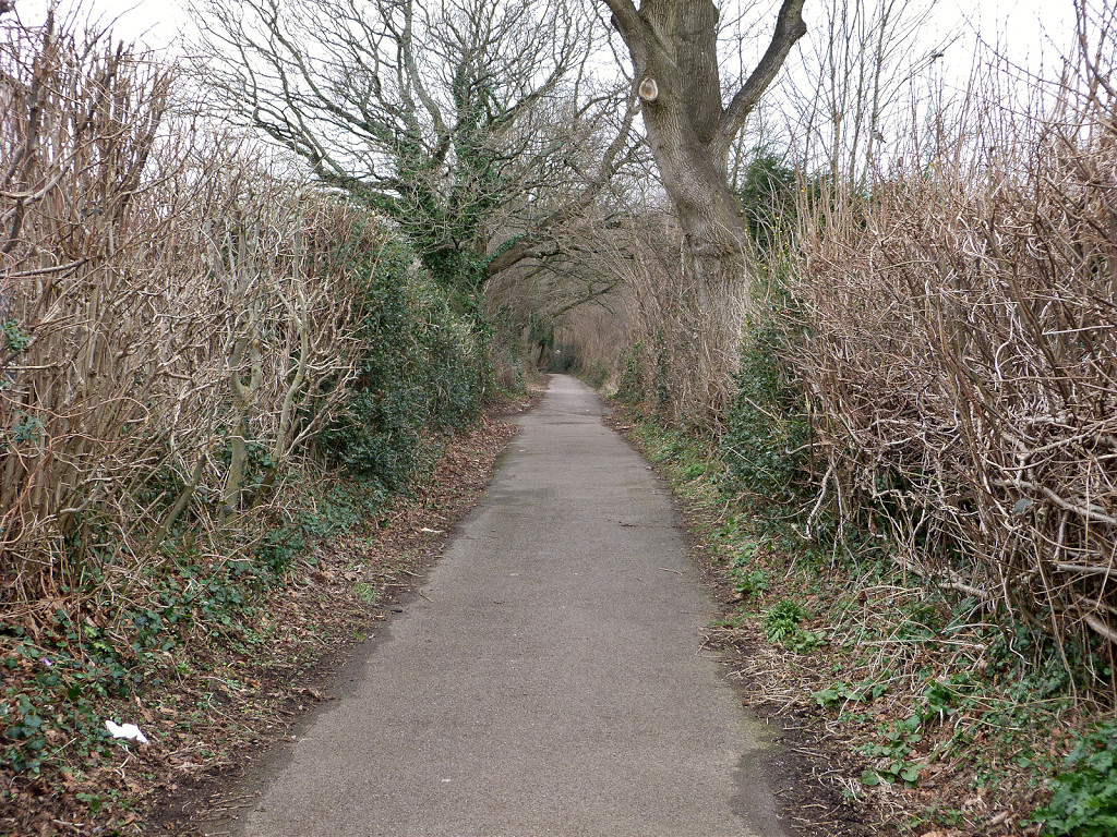
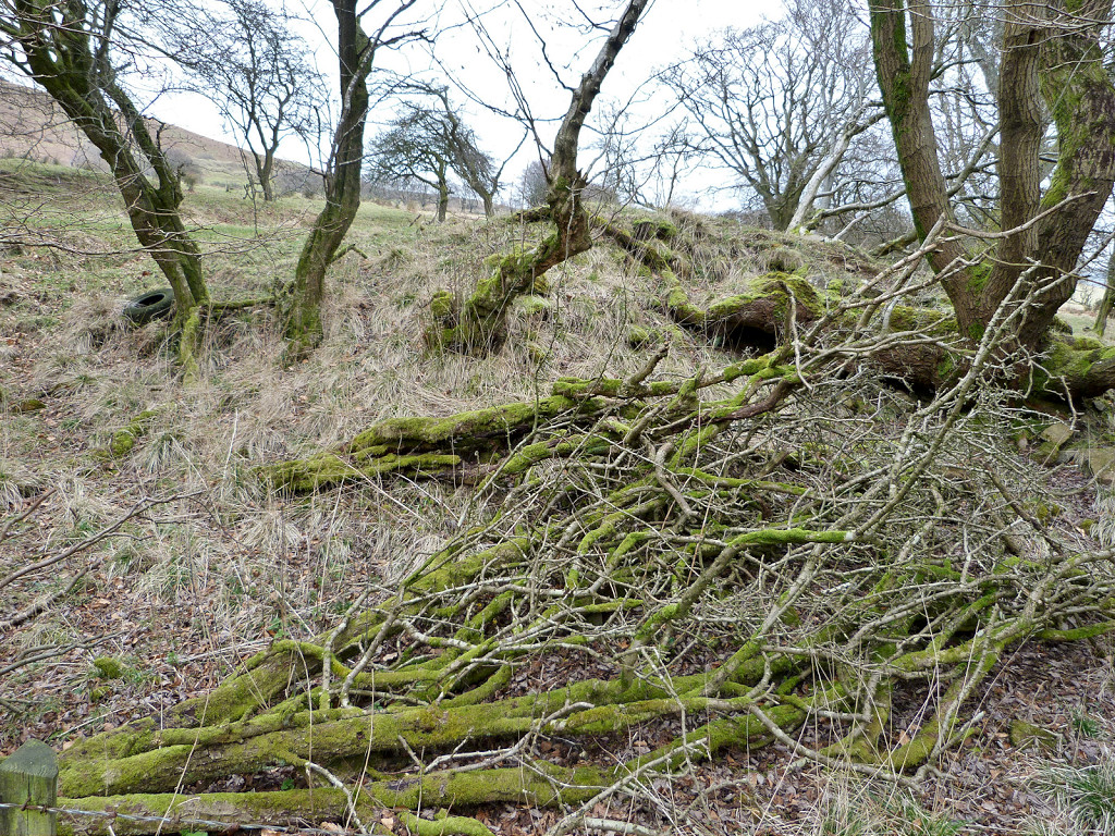
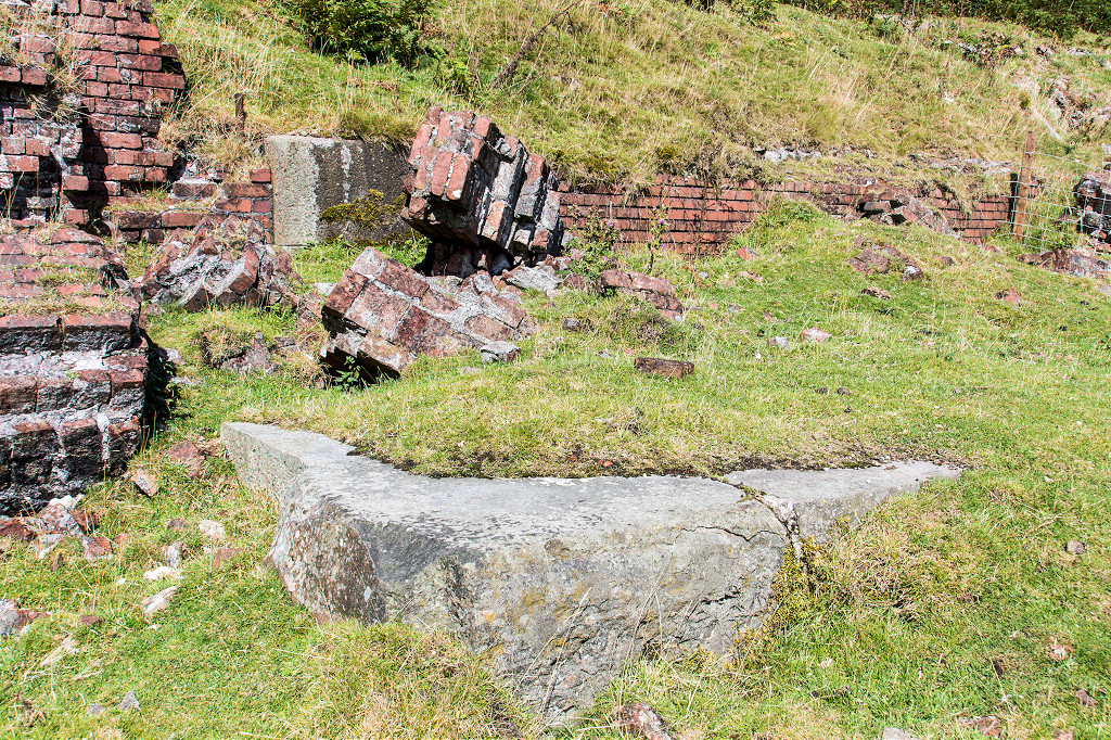
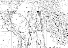
The Llandowlais Branch and the Red Brickworks - ST 2923 9409
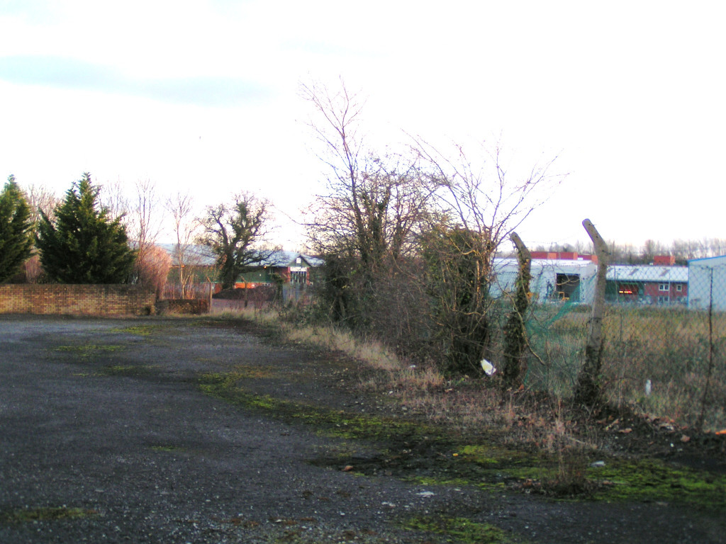
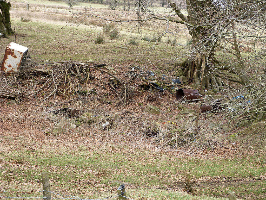
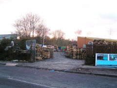
After the wireworks I walked down the branch to the 'red' brickworks, as Llandowlais brickworks was known locally. It was abandoned and silent with just one box van in the central sidings. The site is now the Ty Coch Industrial Estate and the only slight sign of the branch is that it ran beside the 'Printpac' factory carpark.
A 'new' brickworks making ordinary house bricks, hence the 'red', was opened shortly after the second world war, c1950, at Llandowlais by Whitehead, Hill & Co. It quarried its clay from claypits to the south of the works, east of Ty-coch Lane and the canal. The brickworks itself lies under the ex-Ferranti factory on the Ty-coch Industrial Estate. Its clay pits have been levelled and are now offices and housing. There is nothing much to use as a reference point.
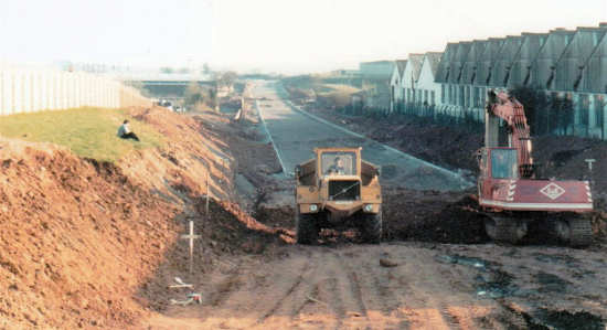
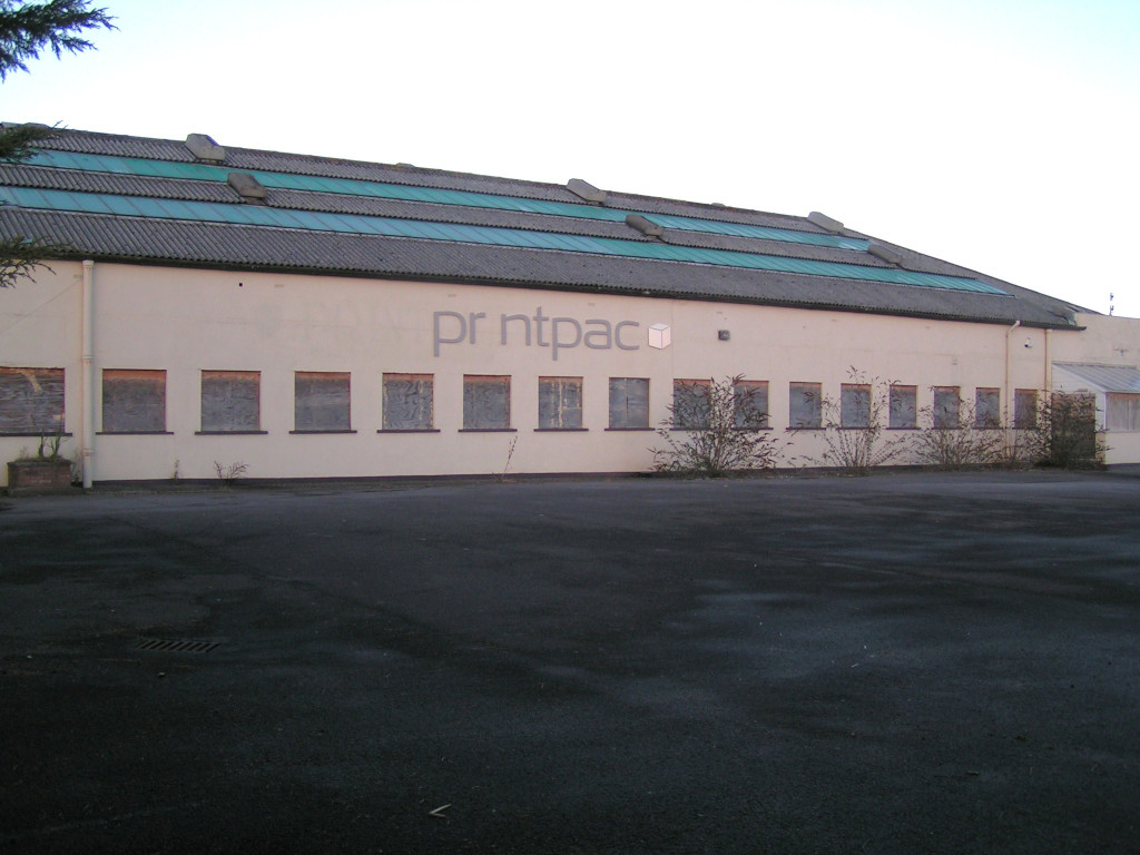
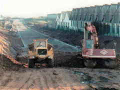
Alfa-Laval (ST 2935 9410) was built about the same time as Llandowlais brickworks and made milking machines and similar agricultural equipment. The photo above shows the factory as the construction of Cwmbran Drive was underway. The factory was closed and demolished later on. The Printpac factory (ST 2925 9413) was also part of the original Alfa-Laval site. The line to the Llandowlais brickworks ran along the South-Western wall of the front carpark.
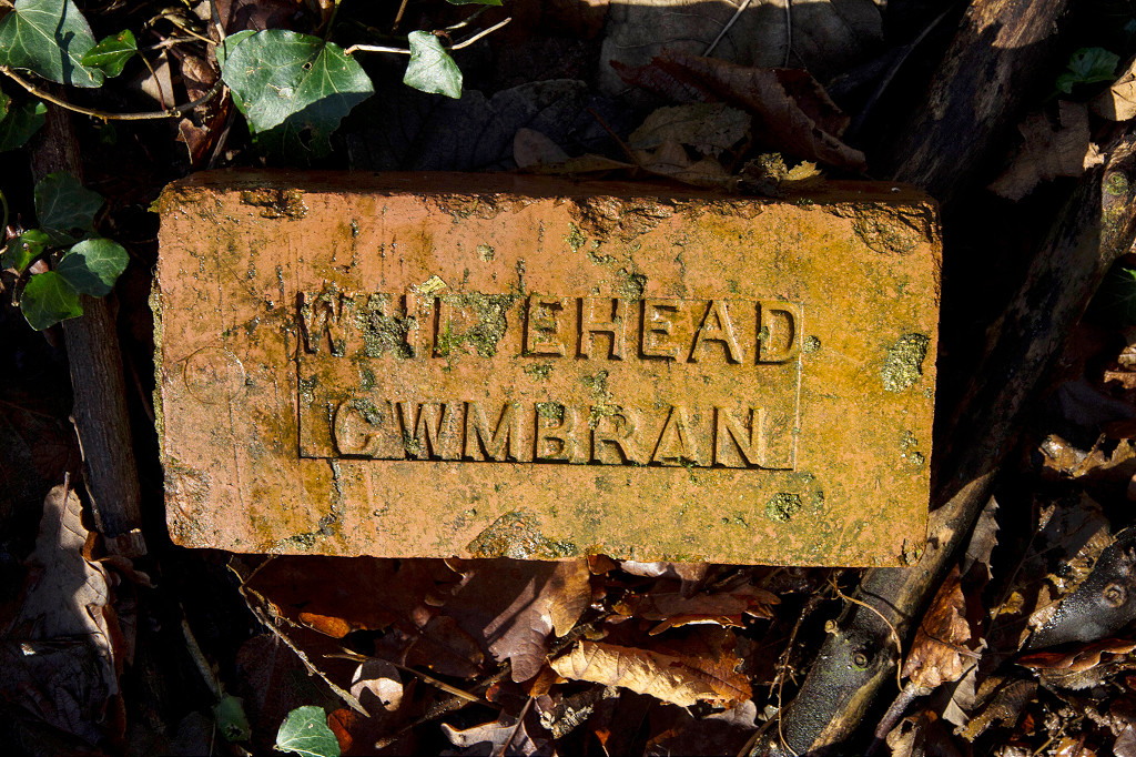
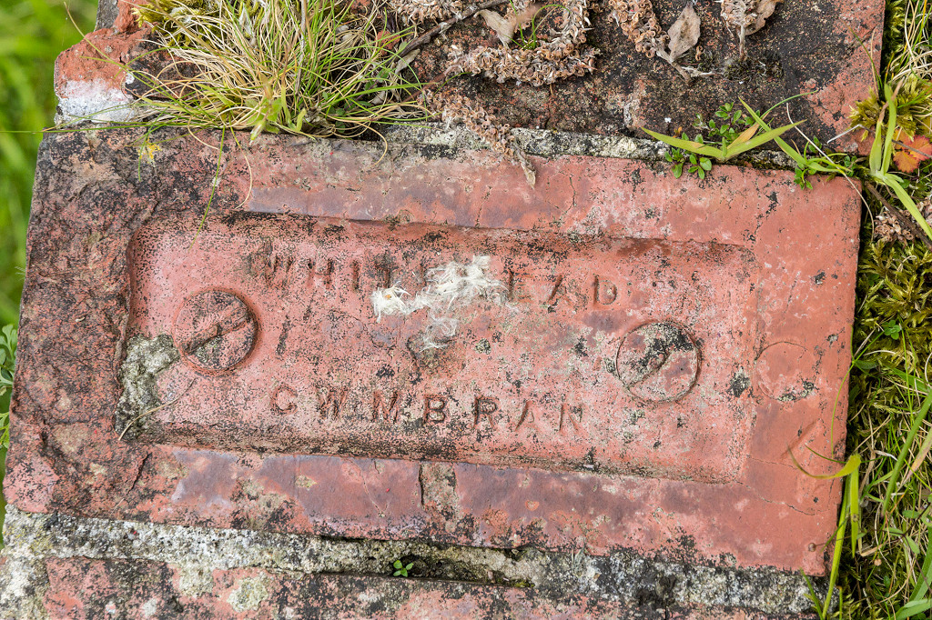
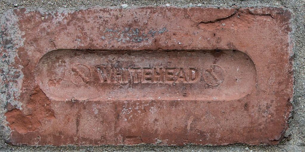
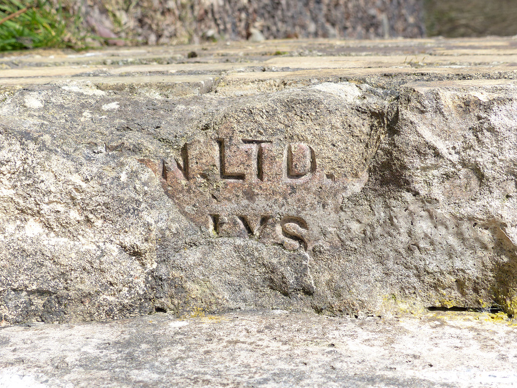
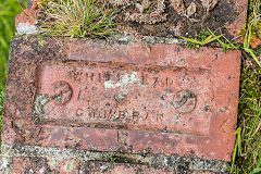
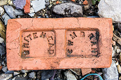
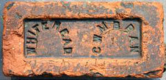
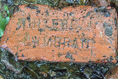
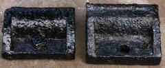
Llandowlais bricks are stamped 'Whitehead Cwmbran' or just 'Whitehead'.

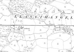
Llandowlais Brickworks, 1949
|
Llandowlais Brickworks, 1967
|
Llandowlais Brickworks claypits
|
Alfa-Laval factory, Oakfield
|
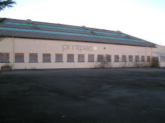
Printpac factory, Oakfield
|
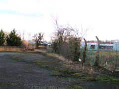
Line to Llandowlais brickworks
|
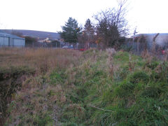
Line to Llandowlais brickworks
|
Line to Llandowlais Brickworks
|
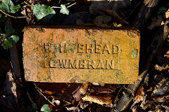
'Whitehead Cwmbran', type 1
|
'Whitehead Cwmbran', type 2
|
'Whitehead Cwmbran', type 3
|
'Whitehead Cwmbran', type 5
|
'Whitehead Cwmbran', type 4
|
|
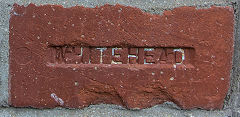
'Whitehead', type 1
|
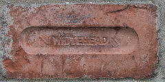
'Whitehead', type 2
|
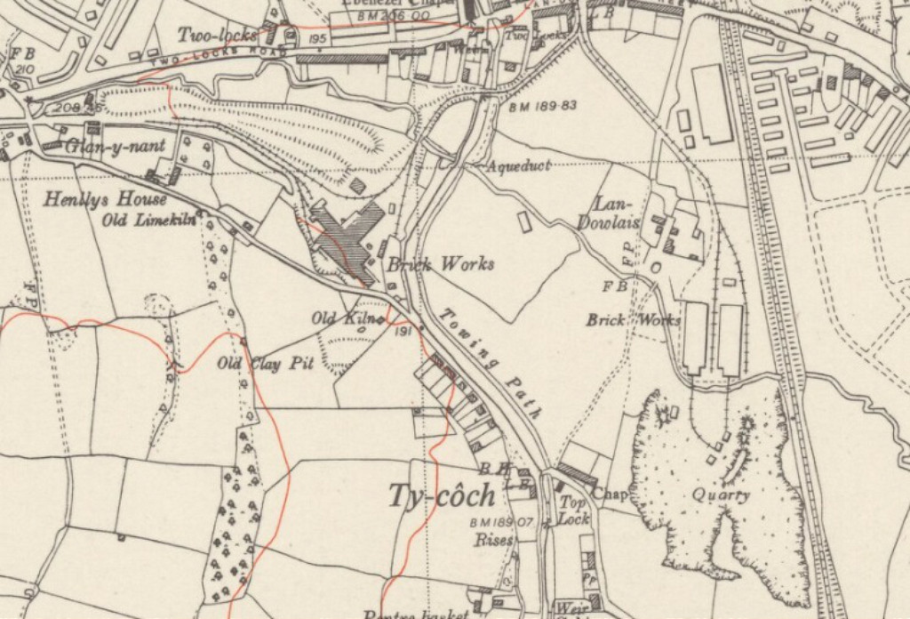
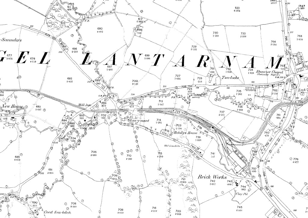
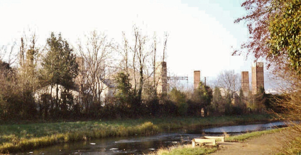
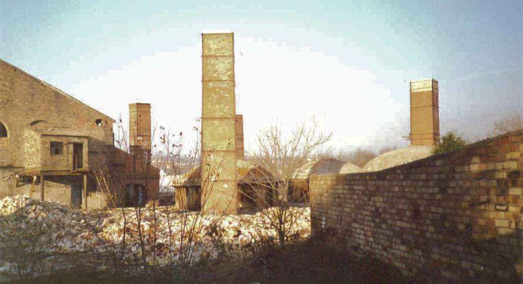
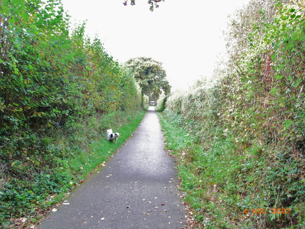
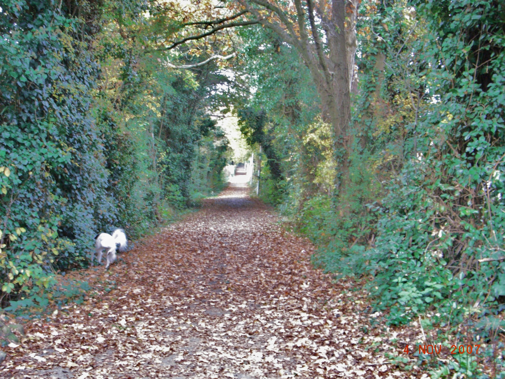
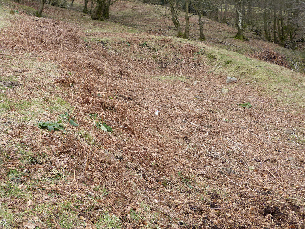
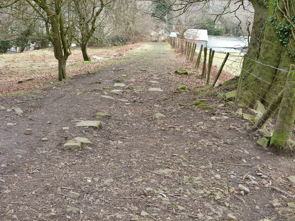
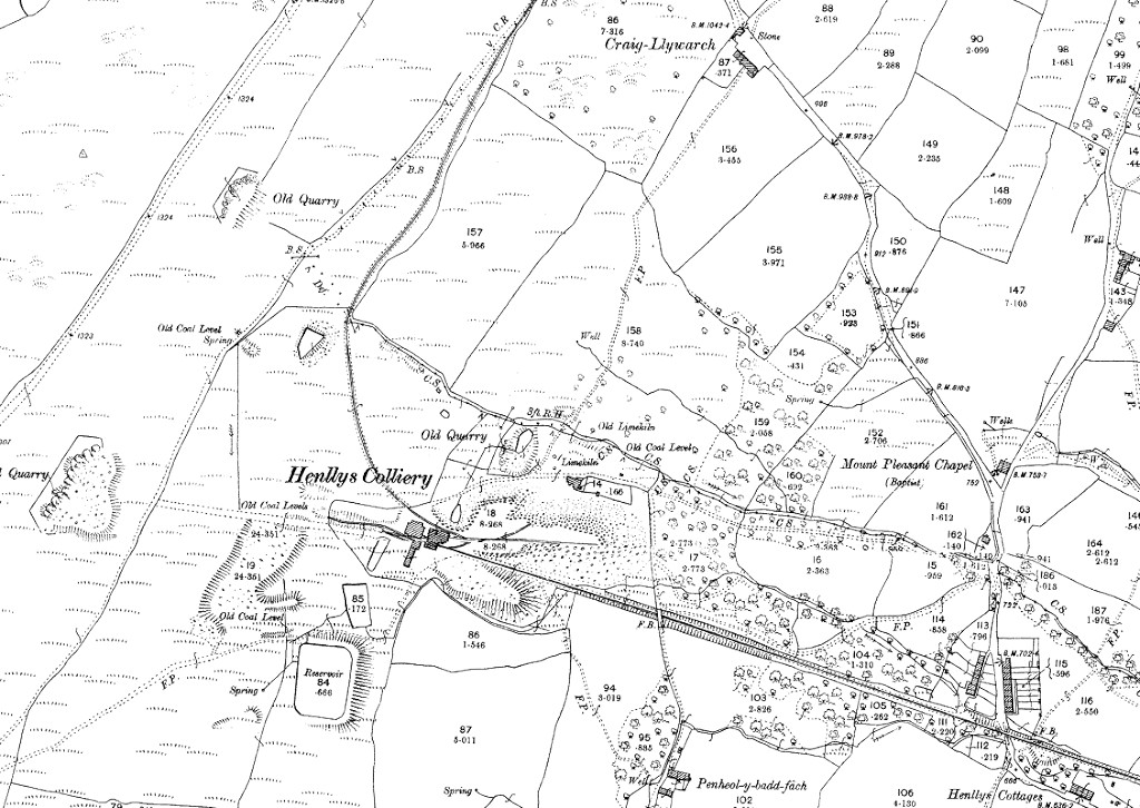
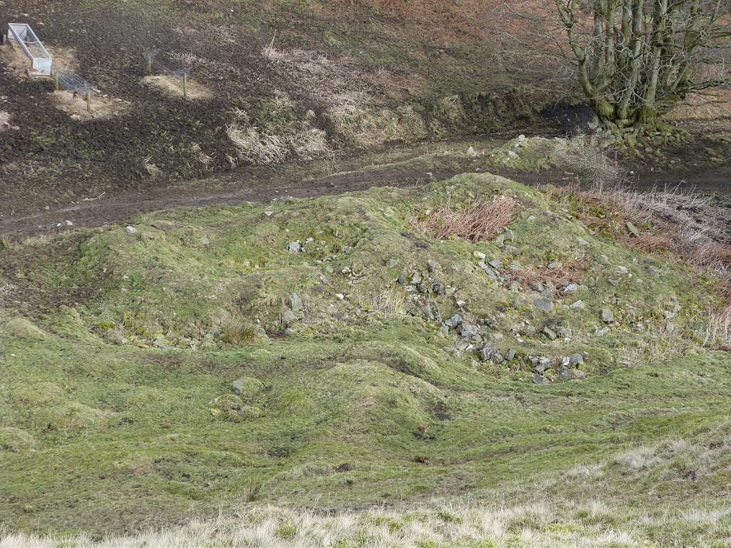
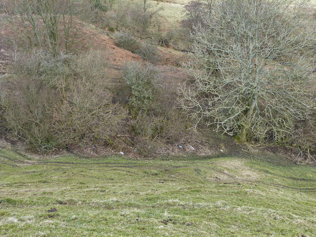
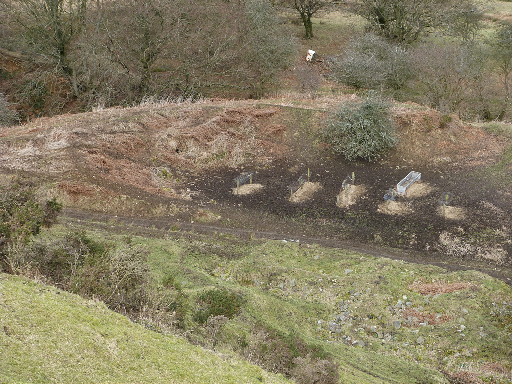
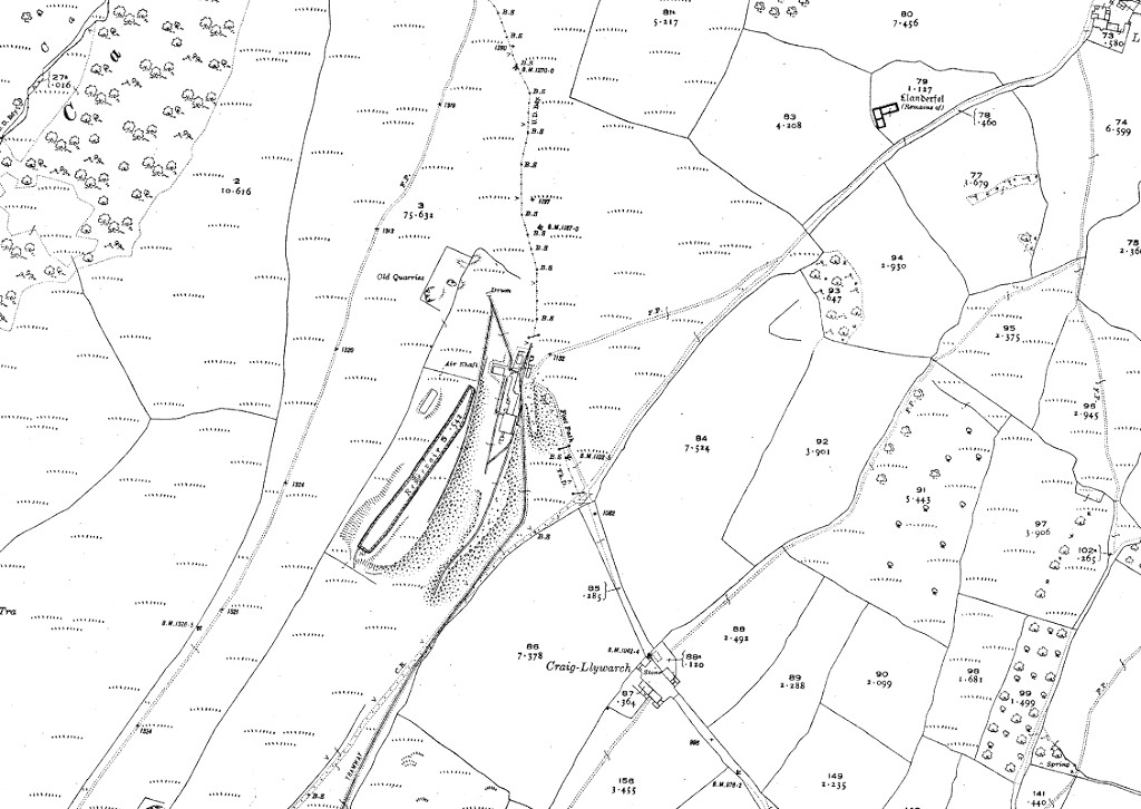
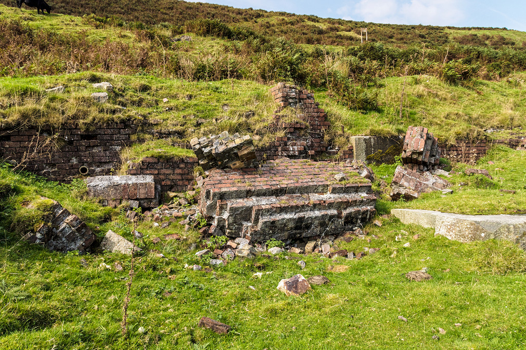
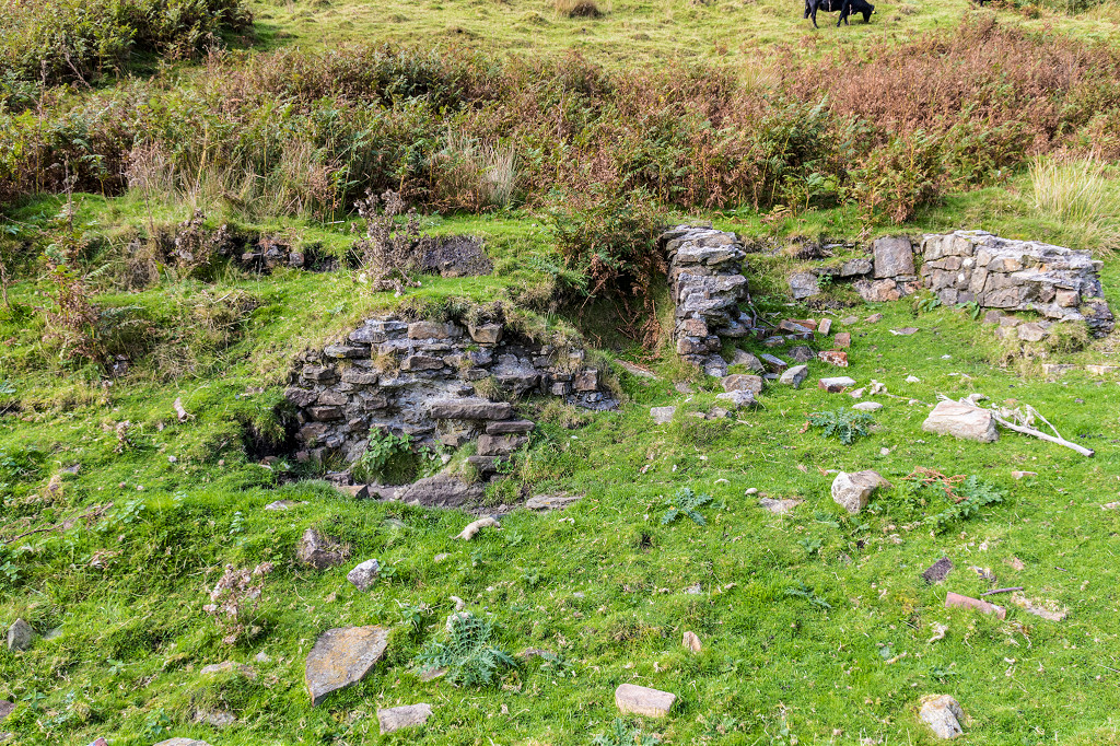
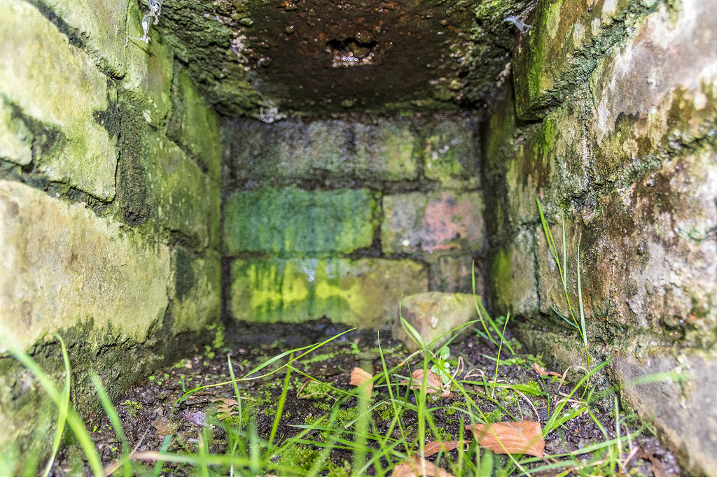
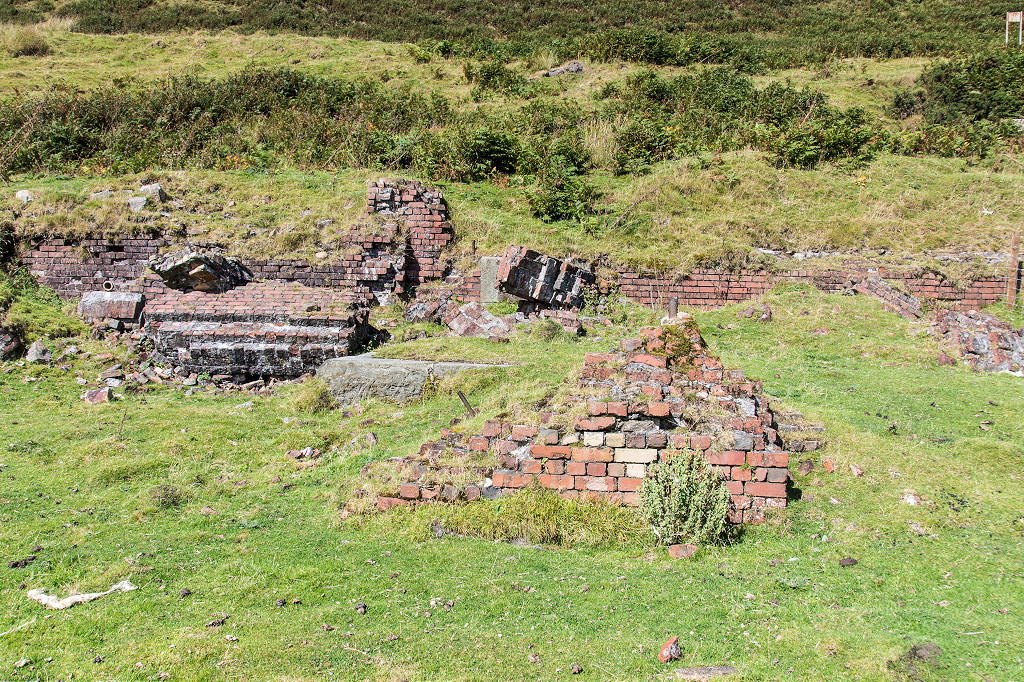
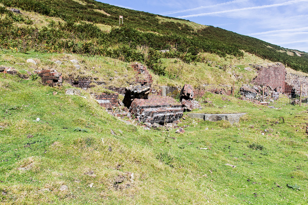
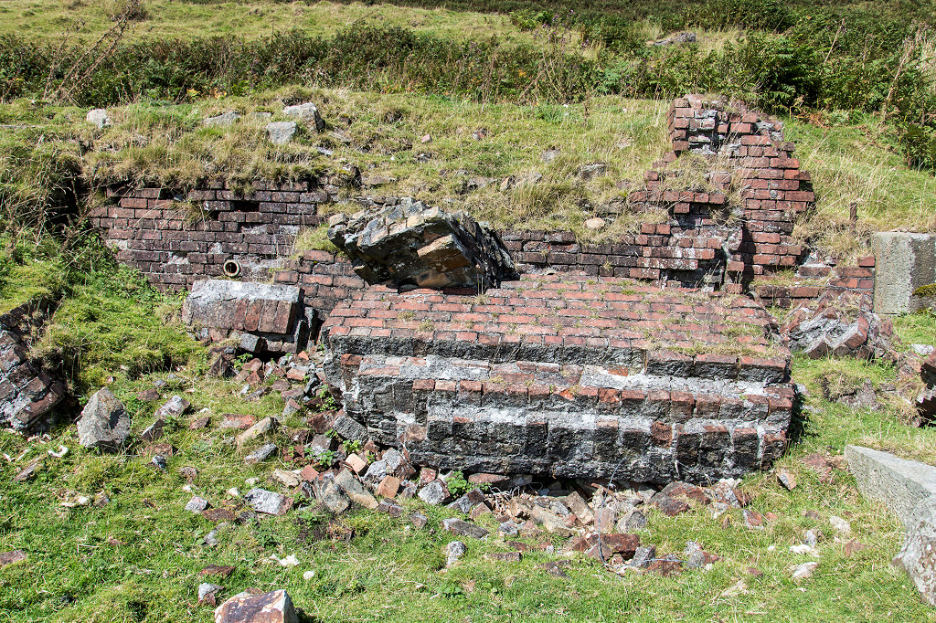
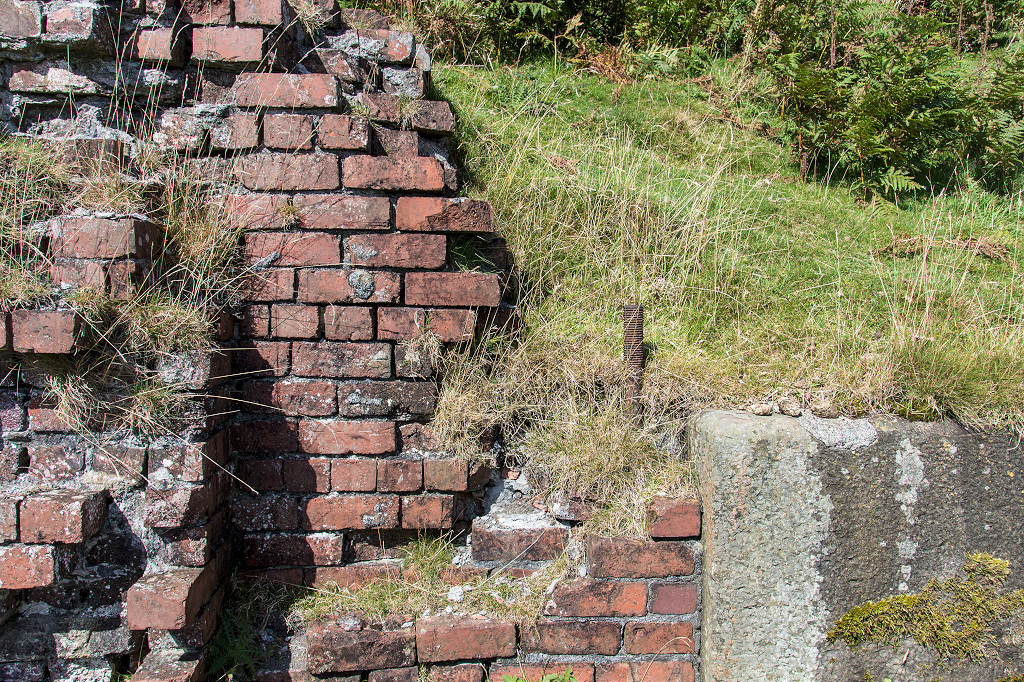
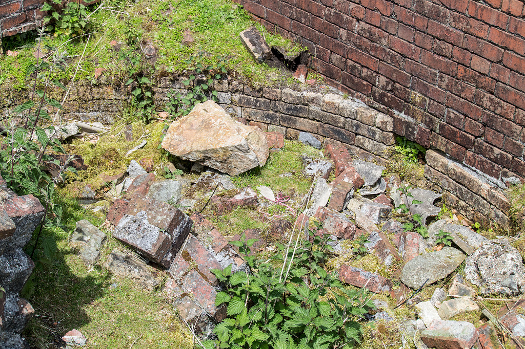
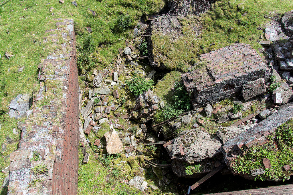
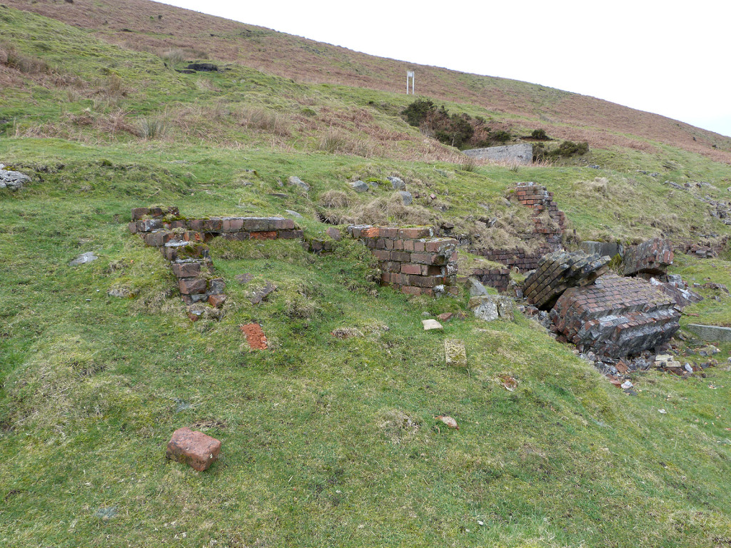
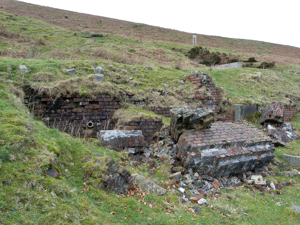
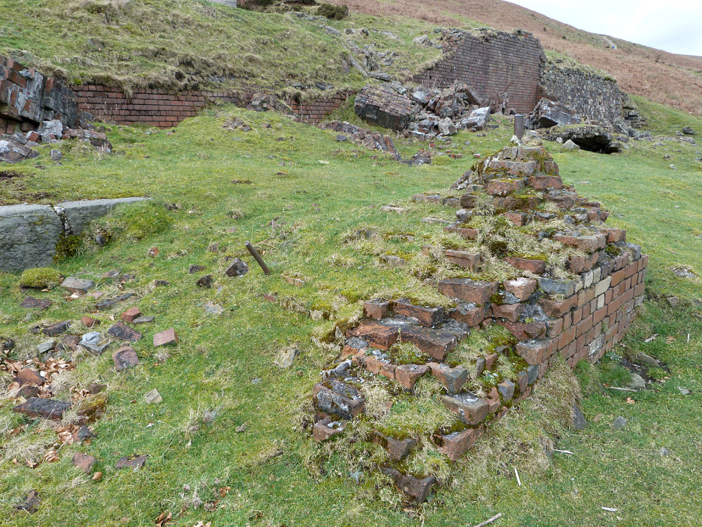
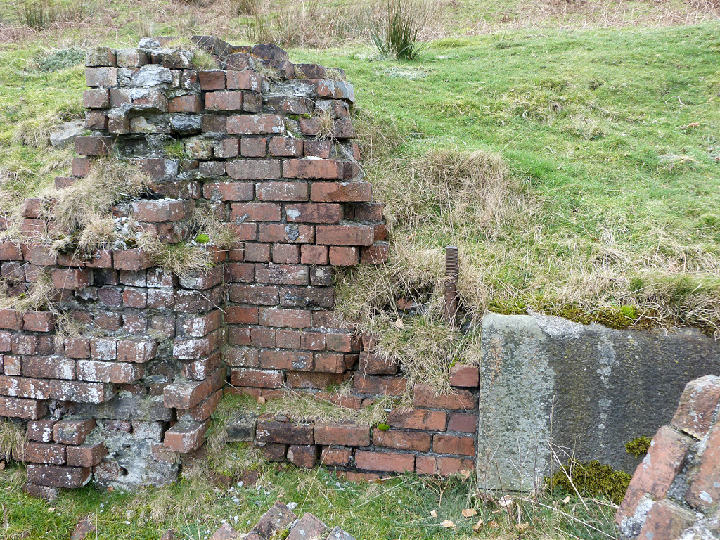
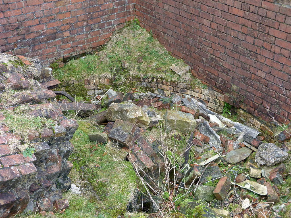
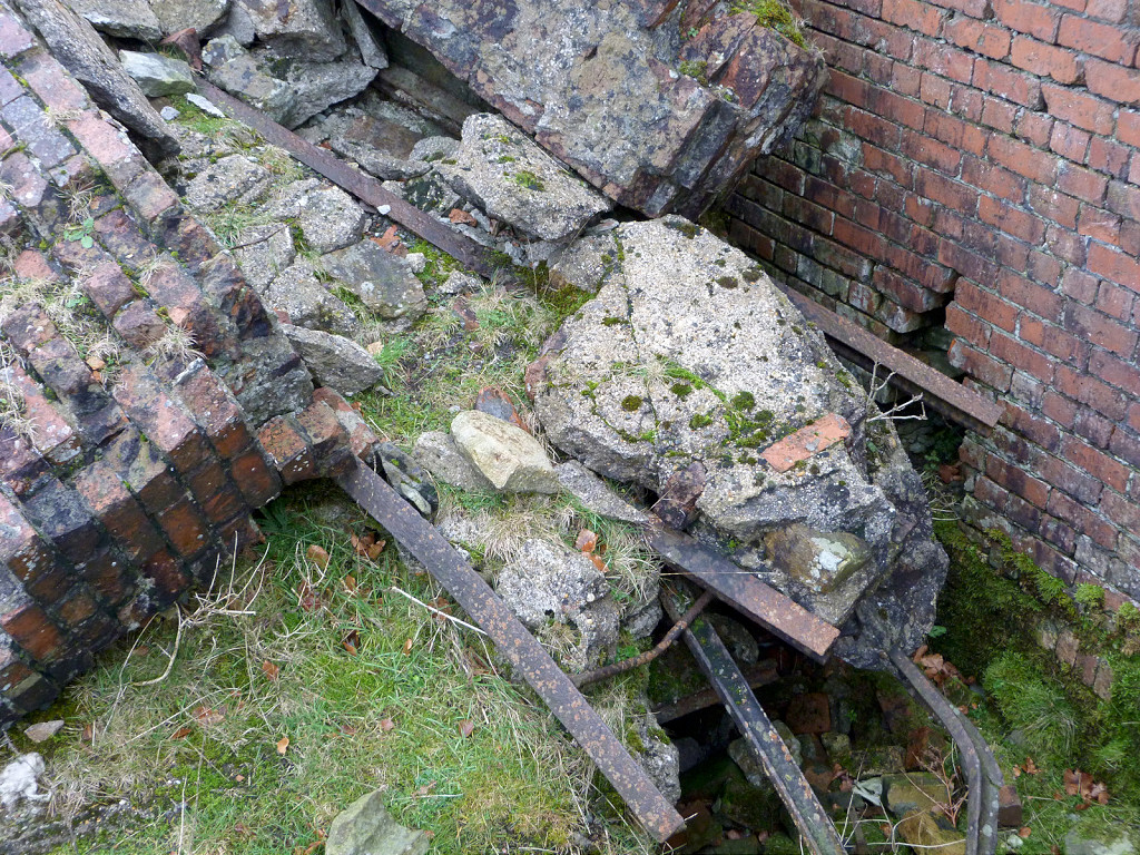
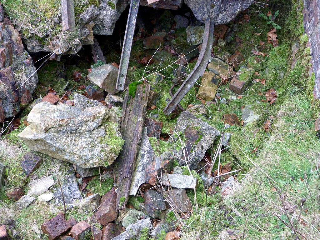
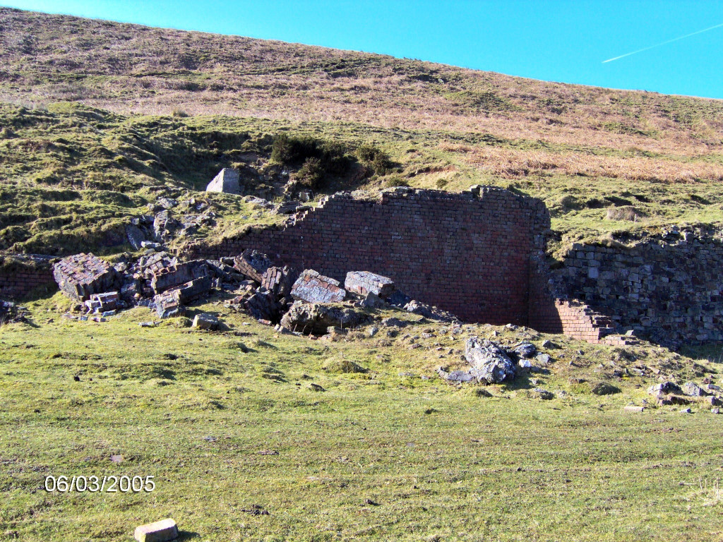
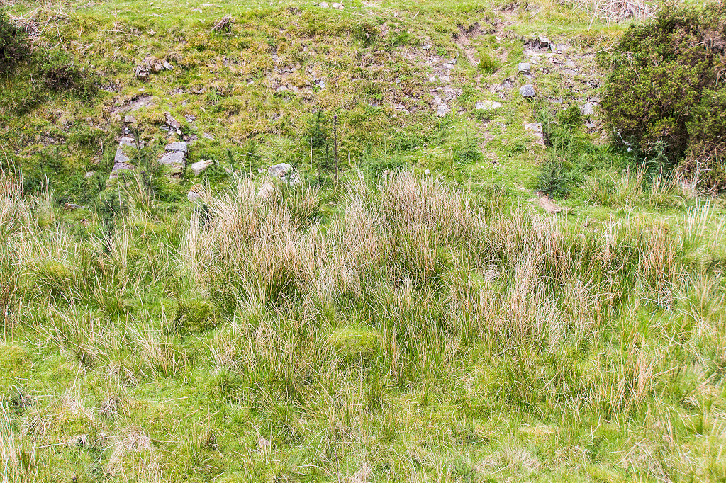
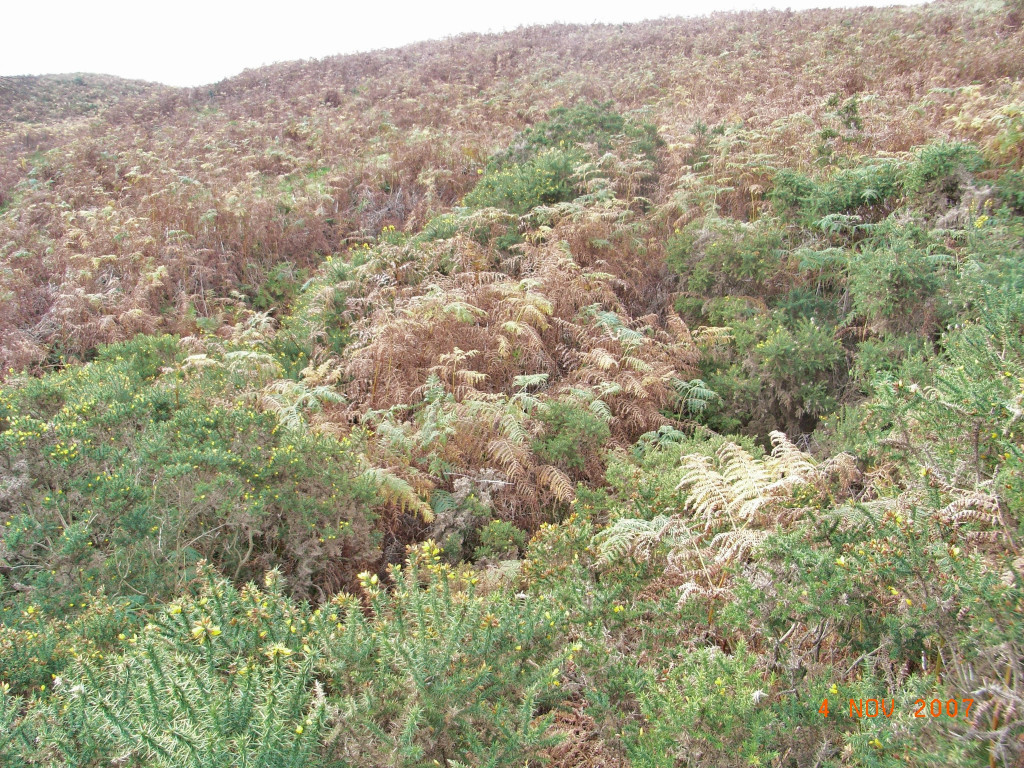
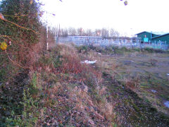
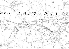
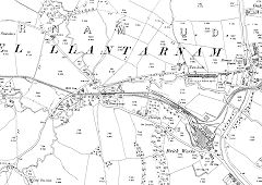
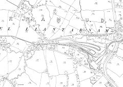
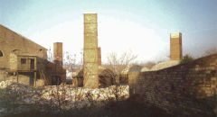
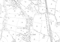
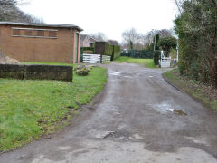
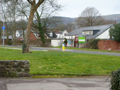
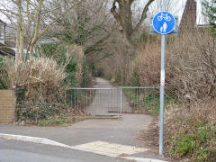
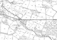
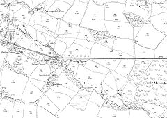
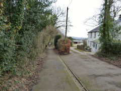
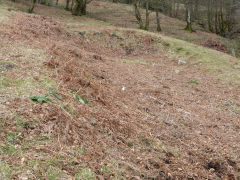
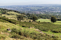
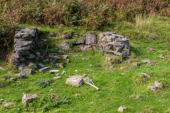
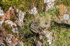
The Ty Coch Branch and Henllys Brickworks - ST 2914 9412
Unfortunately I never took any photos of the brickworks when they were working so Dennis Hopkins has kindly let me use his. Have a look at his website :-
www.dchopkins.co.uk and follow the link to 'Old industrial sites' in the first paragraph.
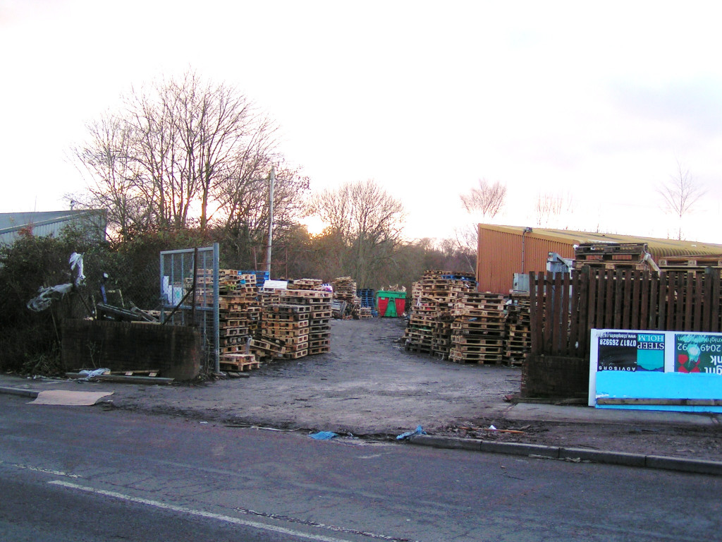
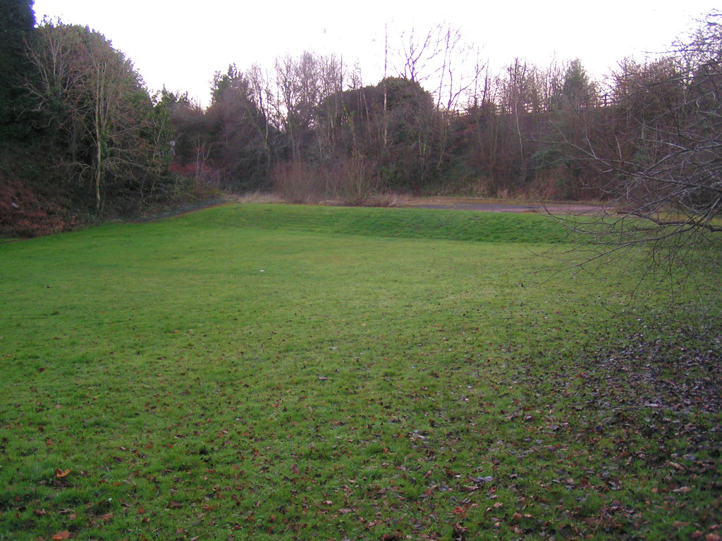
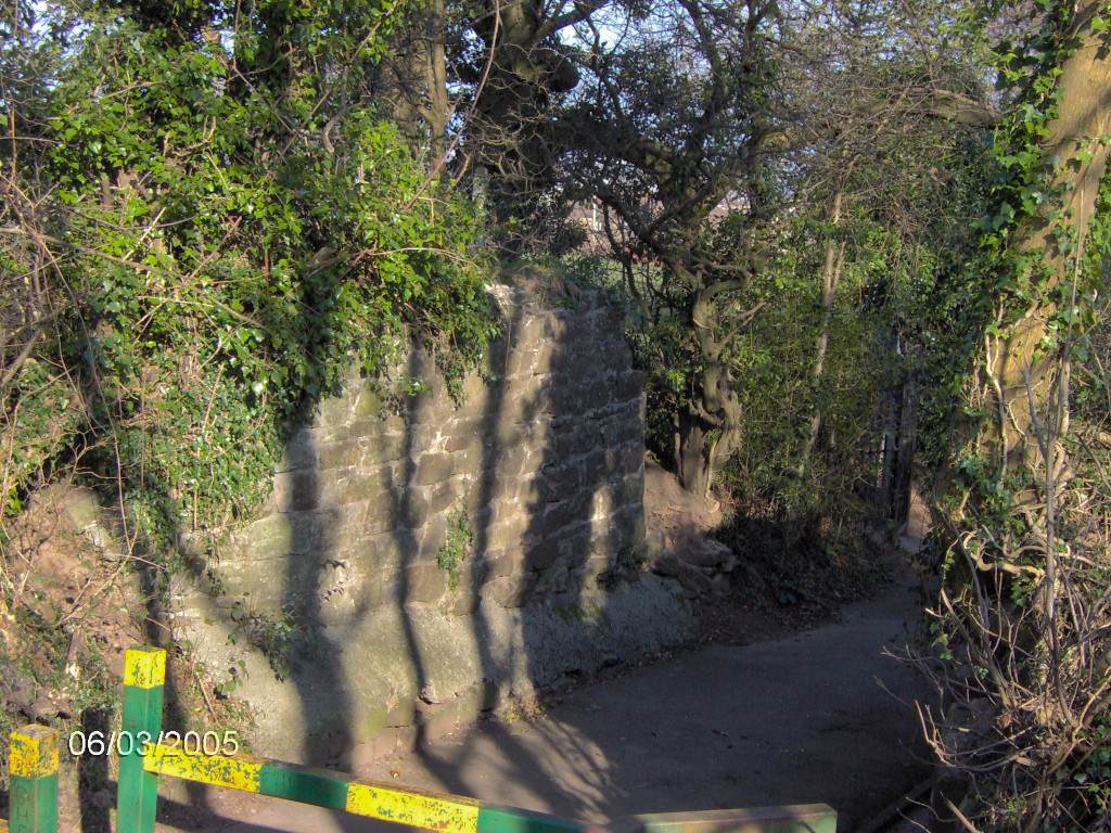
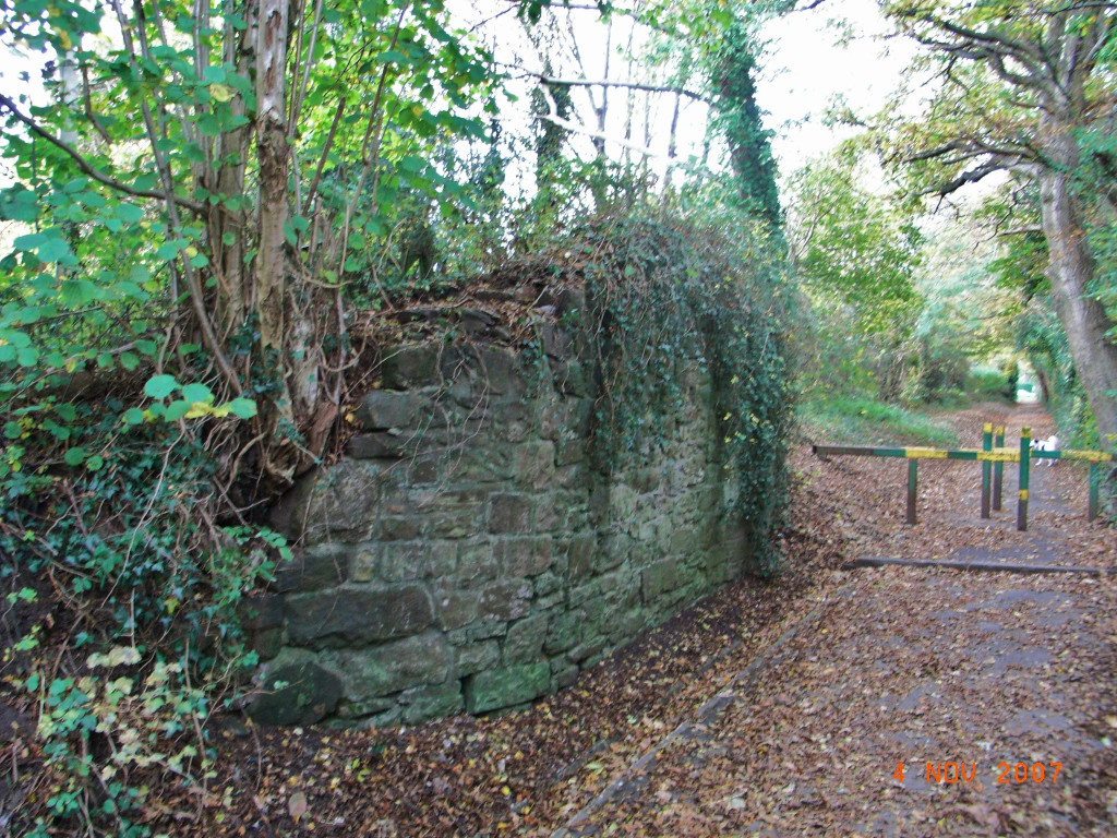
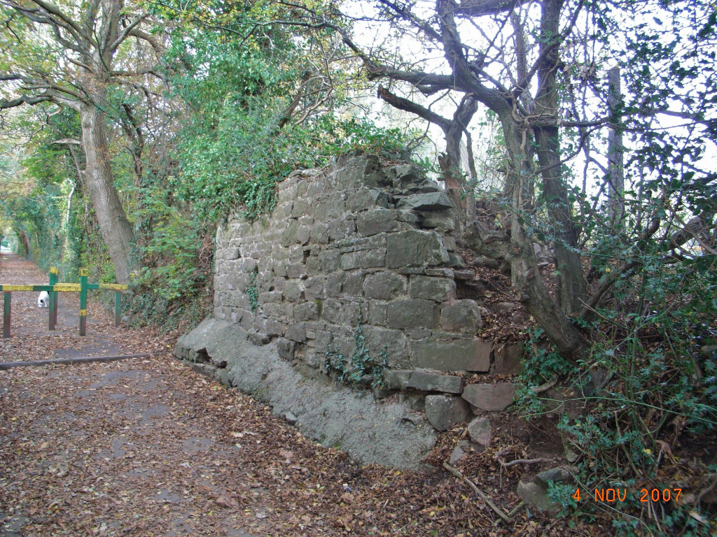
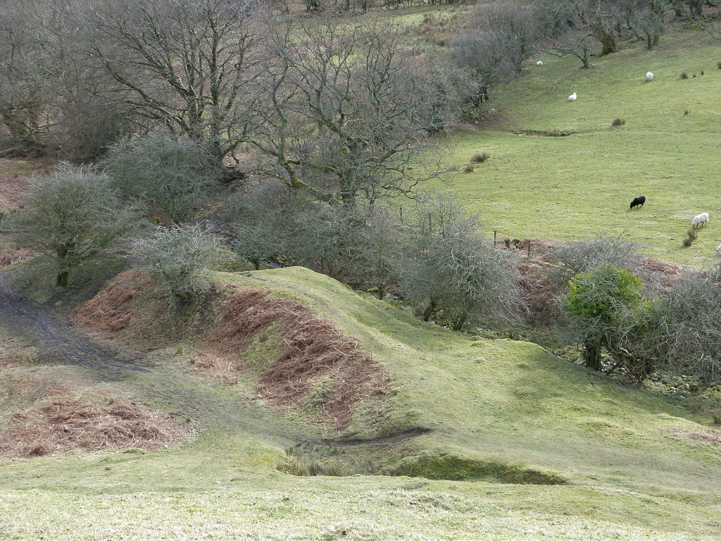
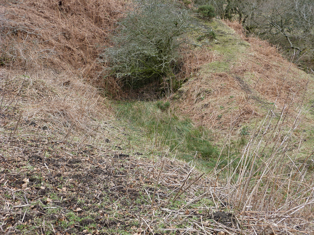
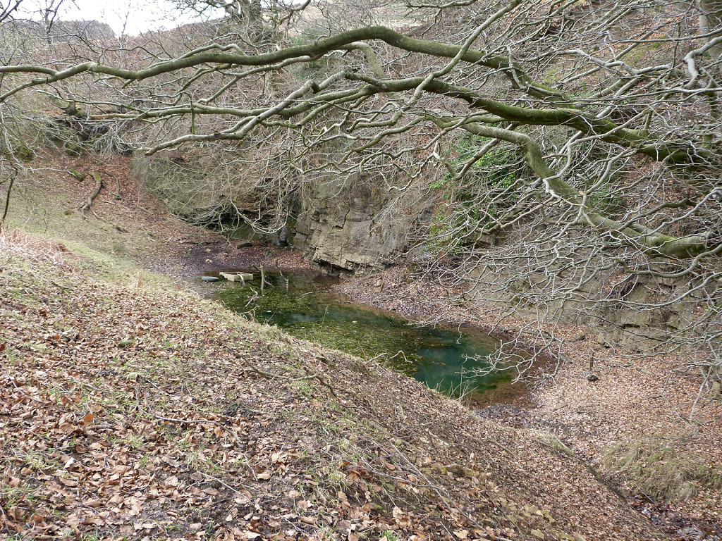
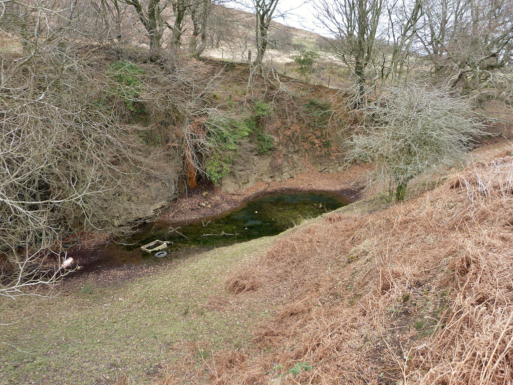
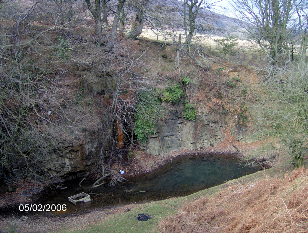
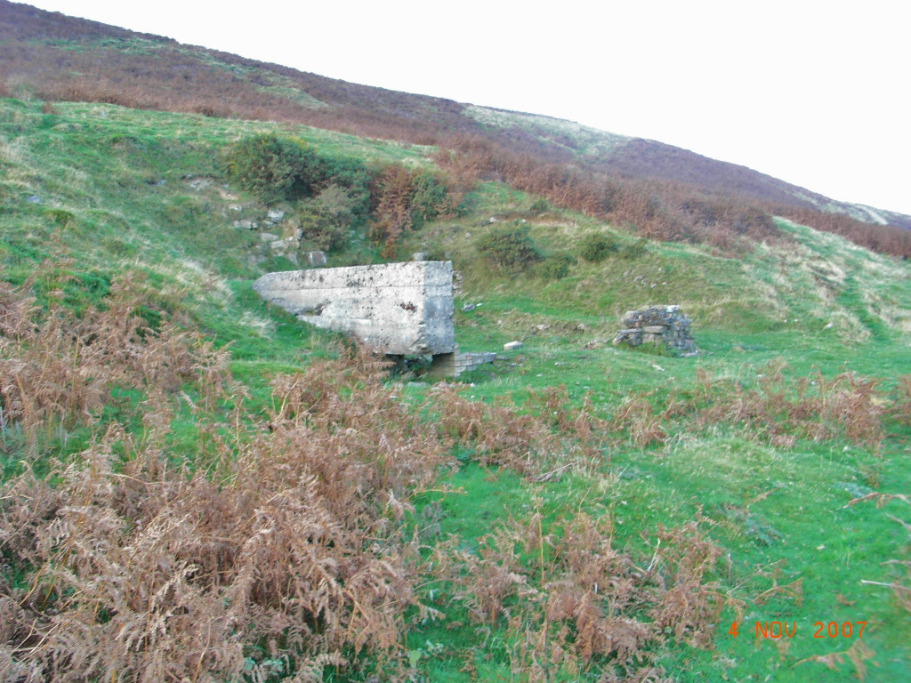
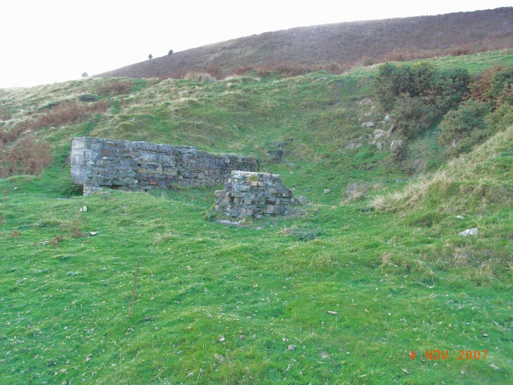
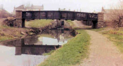
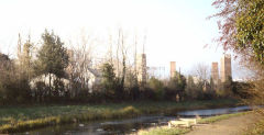
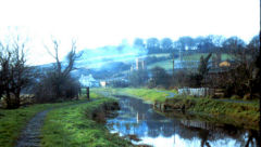
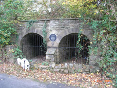
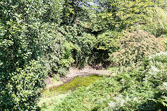
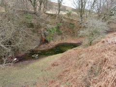
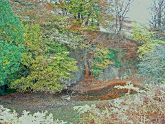
The branch to the 'white' brickworks, as Henllys Brickworks was known locally, went from the roundabout to the right behind the 'Waterloo' pub and the builders / timber yard, the trackbed can just be made out as far as the site of the canal bridge. The one surviving abutment of the canal girder bridge is a very small reminder of past glories. Beyond the bridge a housing estate occupies the site of the white brickworks and there are no reference points.
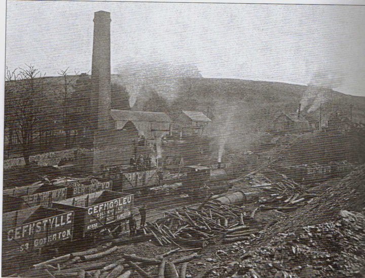
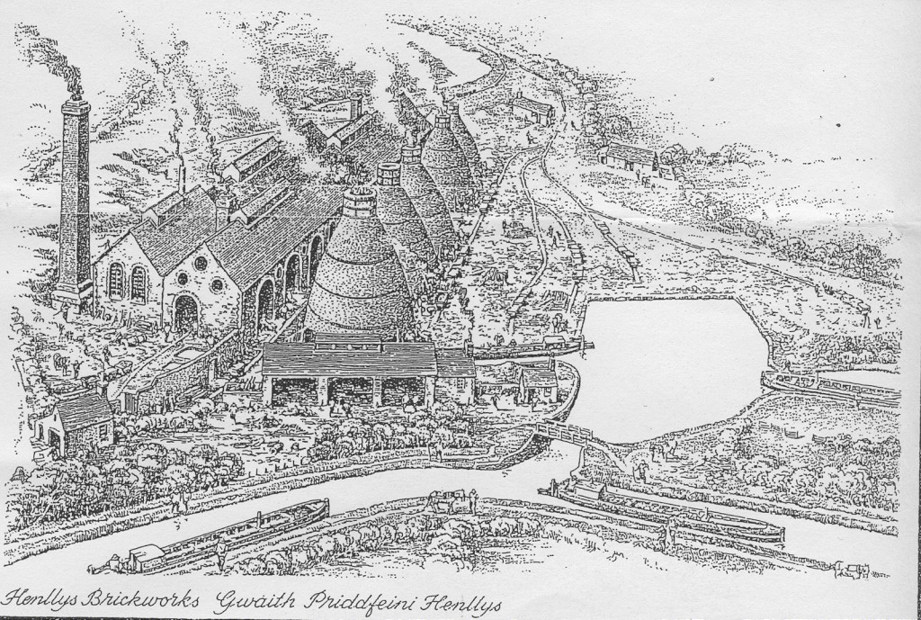
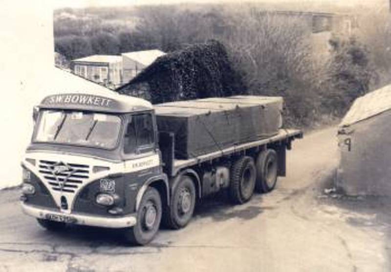
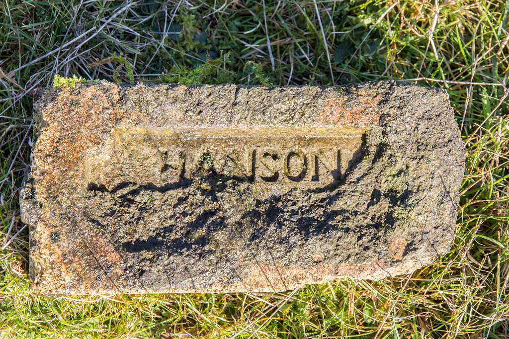
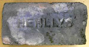
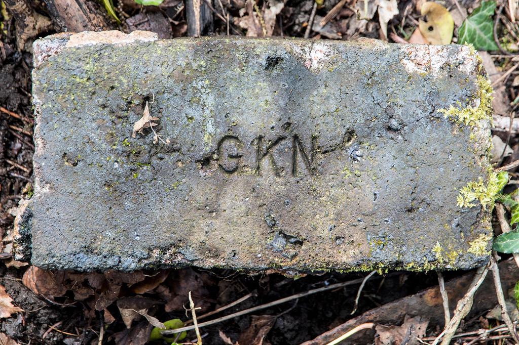
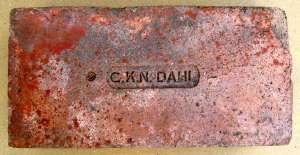
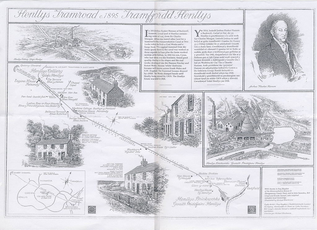
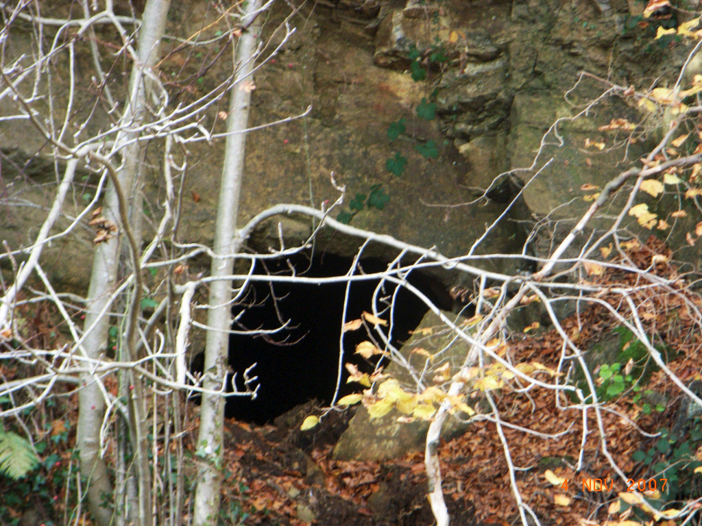
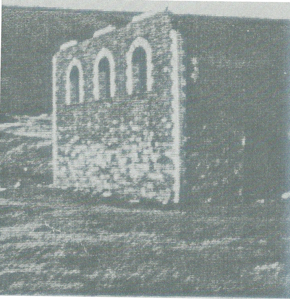
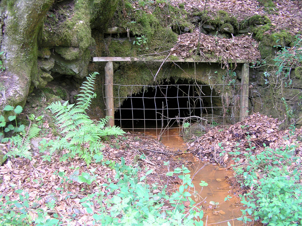
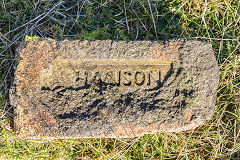
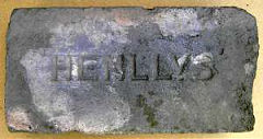
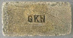
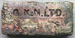
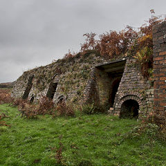
The original brickworks at Ty-coch specializing in refractory or fire bricks, dated from before 1840 and is now a housing estate. The site was originally the canal basin at the lower end of the incline from Henllys Colliery, probably dating from around 1814. It was described as a 'coalworks' and owned by Joshua Hanson in 1840, the six bottle-shaped kilns of the 'firebrick' works being opened in 1842/43 by Joshua's son Cyrus. It seems one of the kilns had collapsed by 1882 but not replaced. Rail traffic carried on until 1966, a lot to do with the road entrance being a narrow lane of Two Locks Road. After Hanson's involvement the brickworks became part of the GKN empire and finally with 'GR Stein refractories' and I'm told it closed on 12th September 1986. Henllys bricks are stamped with variations of 'Hanson, 'Henllys' or 'GKN' and variatons.
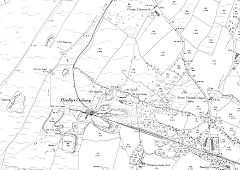
Henllys Brickworks, 1880
|
Henllys Brickworks, 1901
|
|
Henllys Brickworks in 1855
|
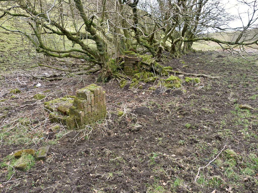
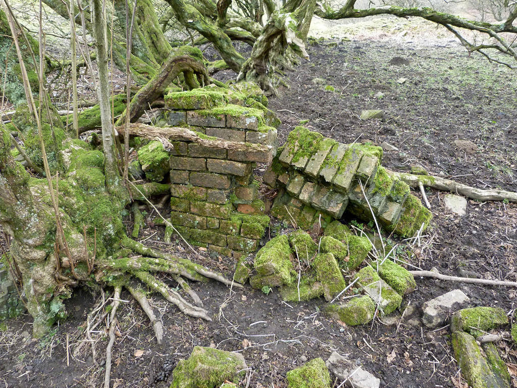
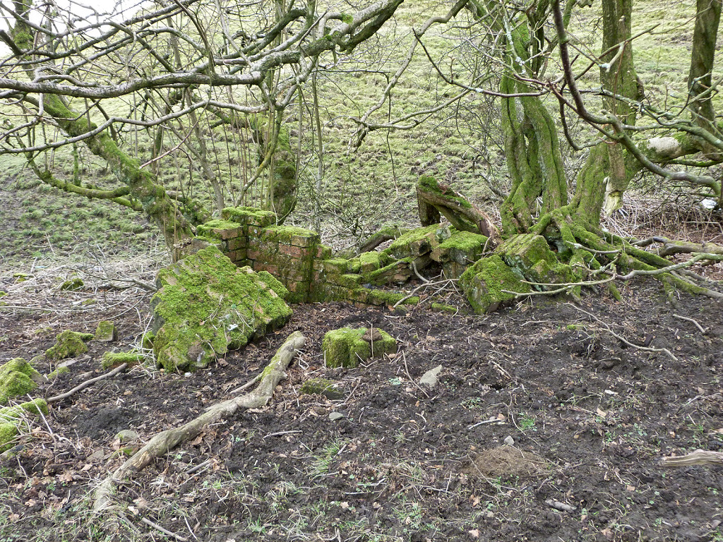
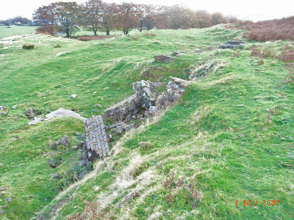
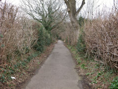
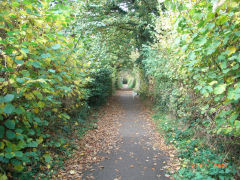
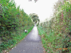
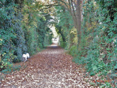
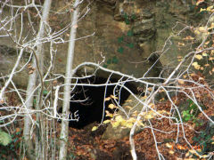
The line to Henllys Brickworks
|
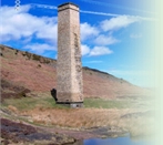
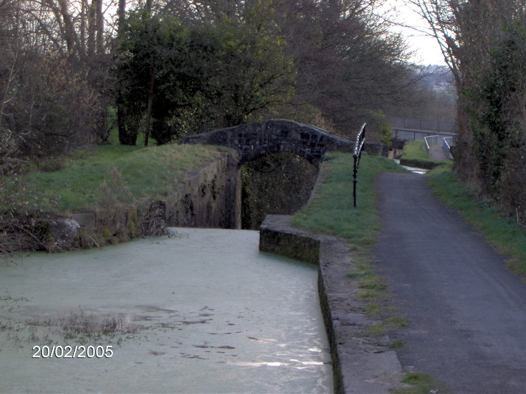
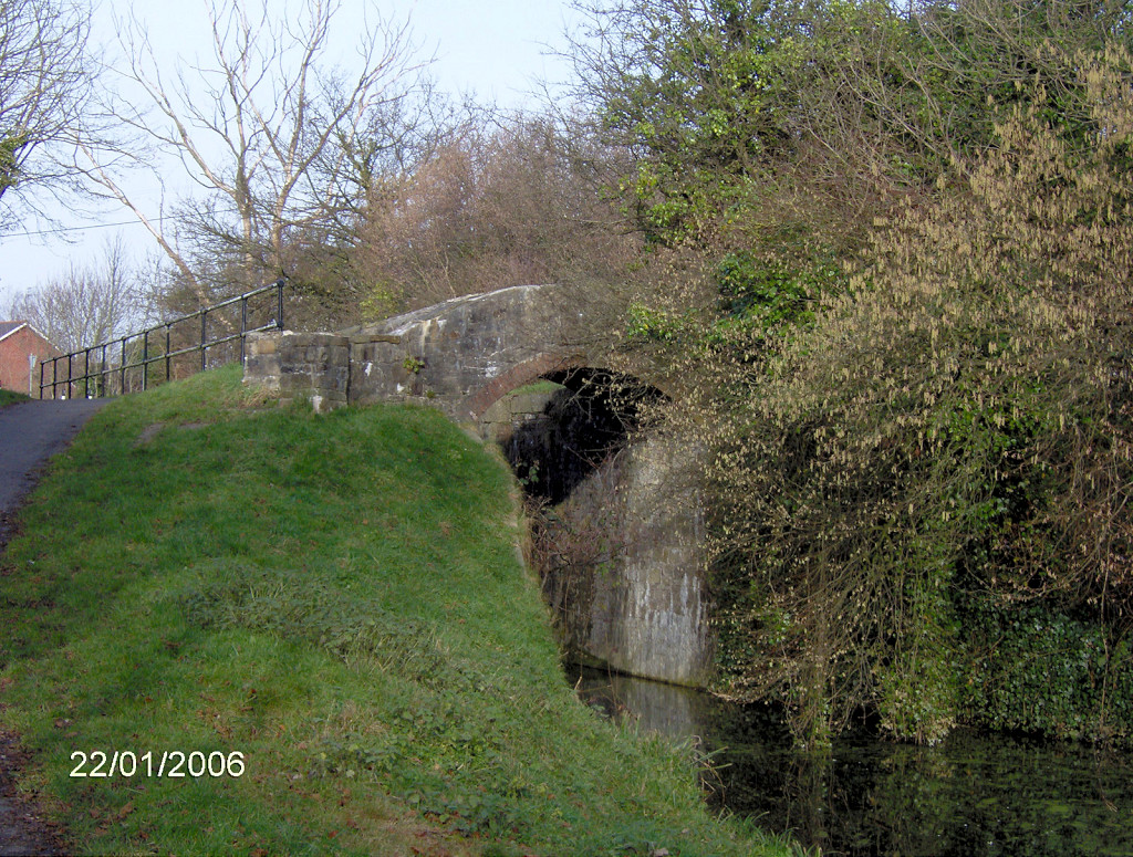
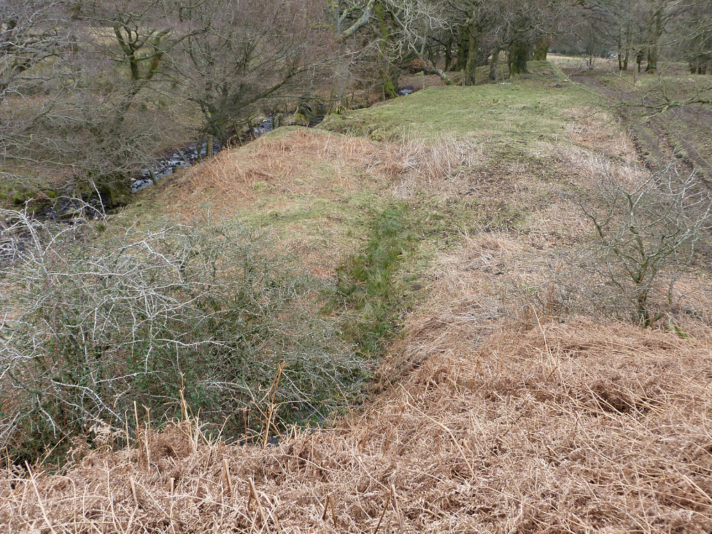
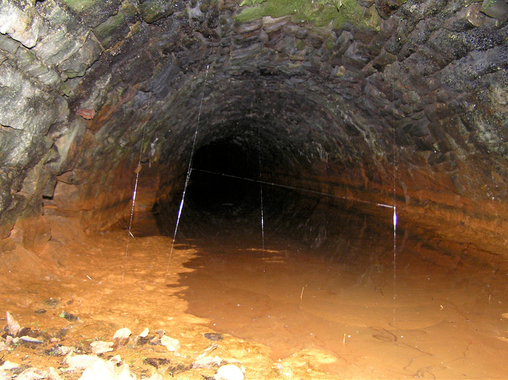
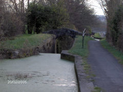
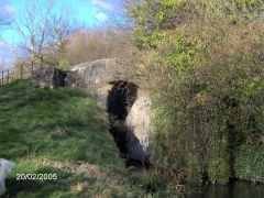
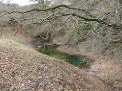
The abutments of the canal bridge
|
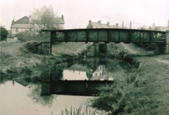
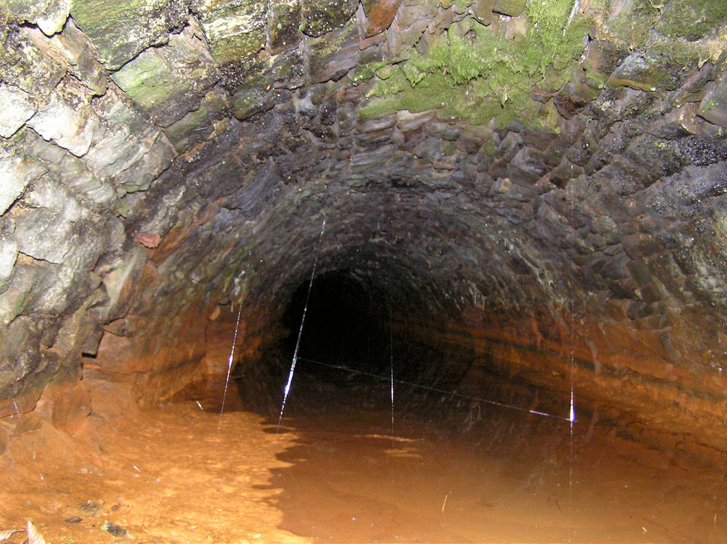
The railway bridge over the canal
|
The railway bridge over the canal
|

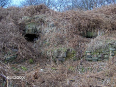
Lorry leaving Henllys Brickworks
|
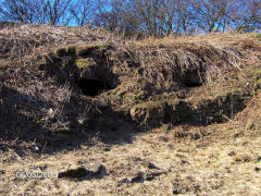
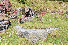
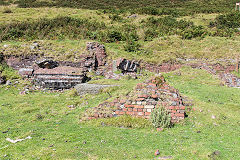
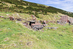
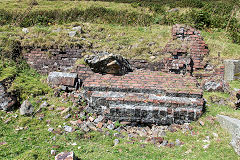
Henllys Brickworks, Oakfield, 1988
|
Henllys Brickworks, Oakfield, 1988
|
Henllys Brickworks, Oakfield, 1980
|
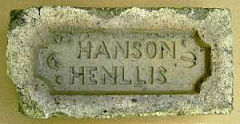
'Hanson Henllis'
|
'Hanson Henllis' possibly type 2
|
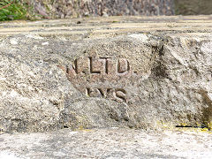
'Henllys'
|
'GKN', type 1
|

'GKN', type 2
|
'GKN Ltd'
|
'GKN Ltd Henllys'
|
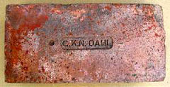
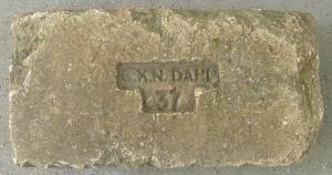
'GKN Dahl'
|
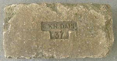
'GKN Dahl 37'
|
|
|
|
Around Ty Coch
The trial or test pit, ST 2899 9377, was dug in the 1960s and the low concrete canal bridge, ST 2901 9380, gave access to Llandowlais Brickworks. The pit is now a kiddies playground.
In the late 1800s a very small brickworks existed on the other side of Ty Coch Lane just below the canal lock at ST 2916 9356 but it was gone by 1901.
Lime kilns on Ty Coch Lane
|

The test claypit beside Ty Coch
|
|
|
Ty Coch Top Lock, 1880
|
Ty Coch Top Lock
|
Ty Coch Top Lock
|

Ty Coch Top Lock
|
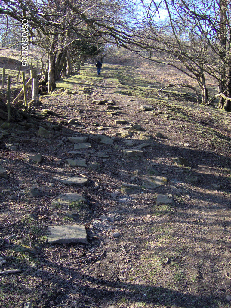
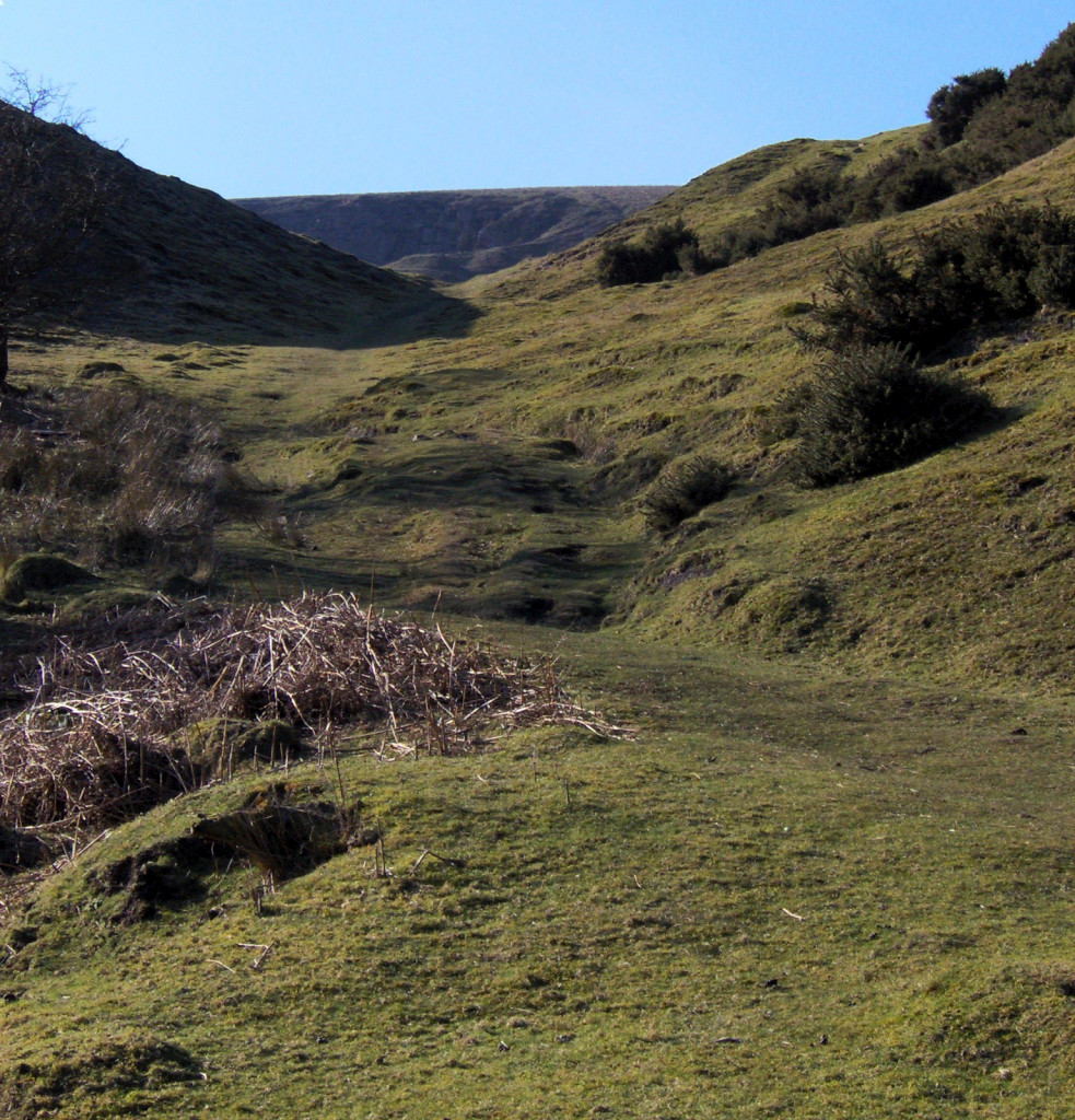
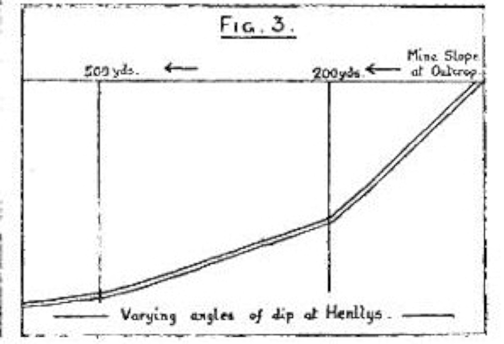
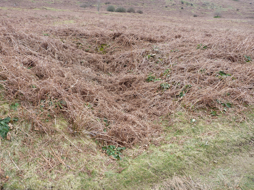
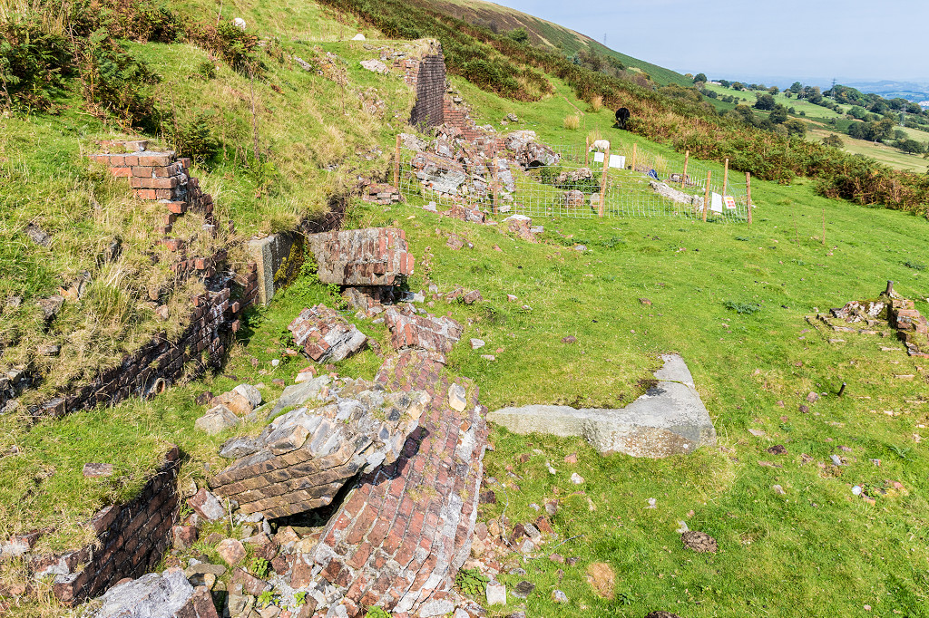
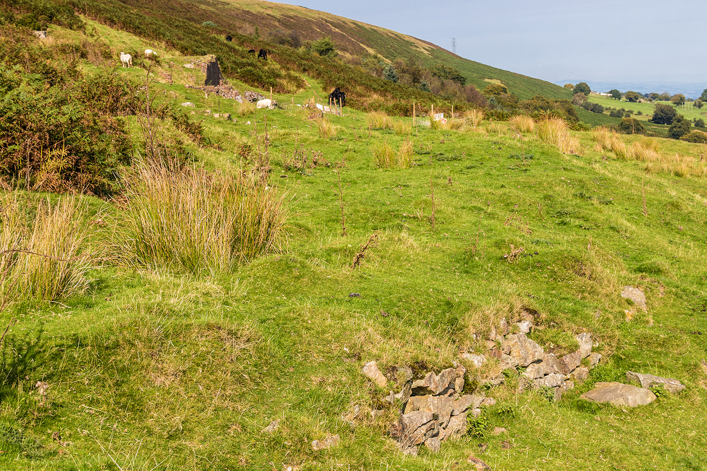
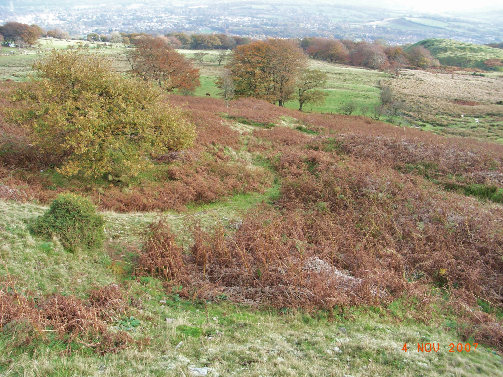
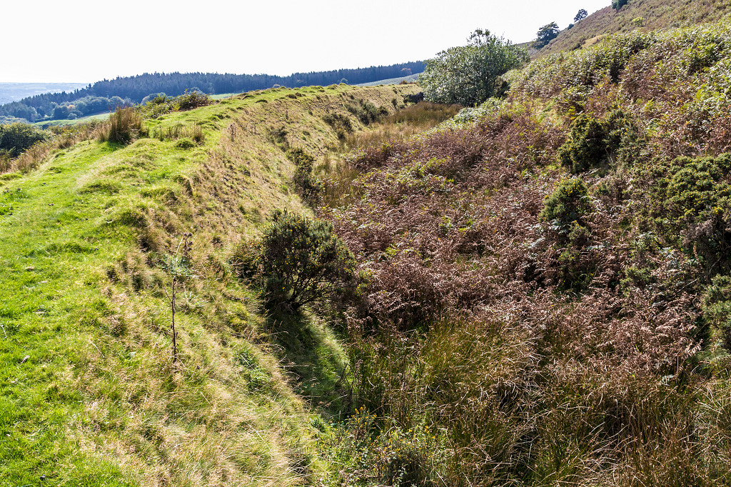
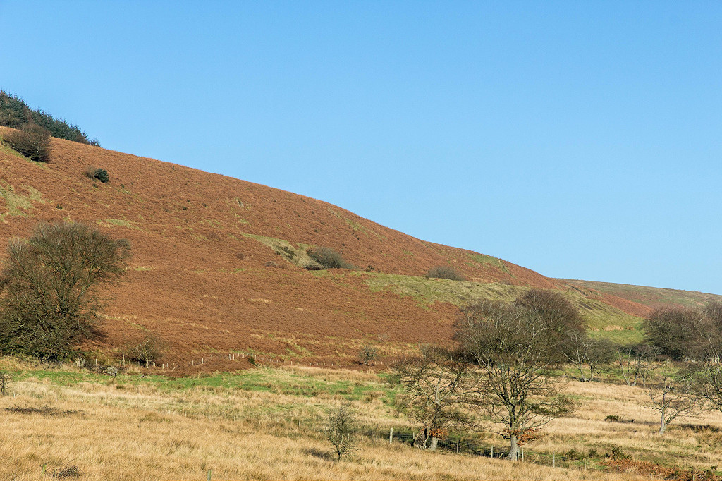
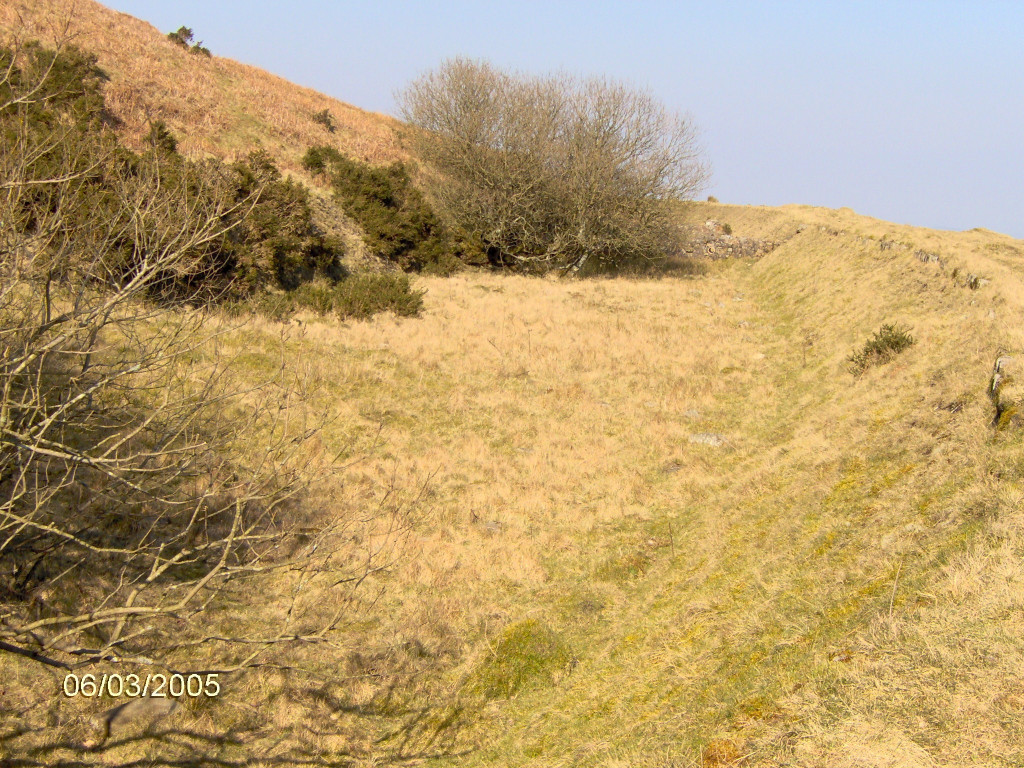
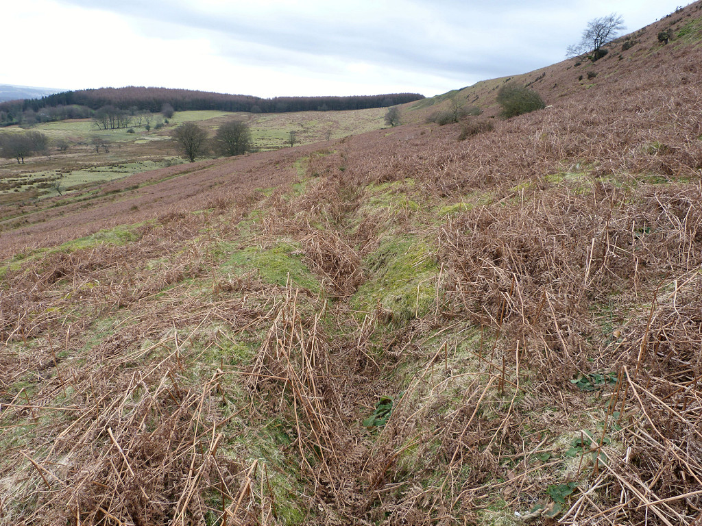
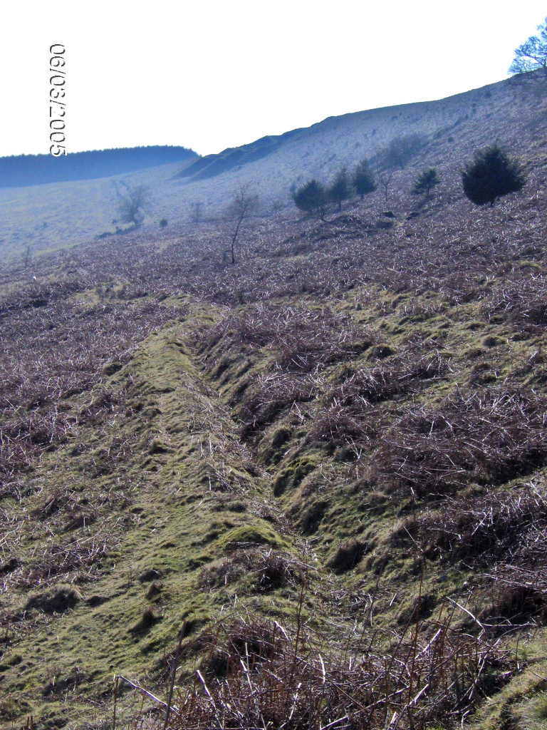
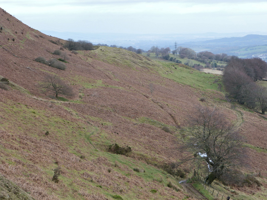
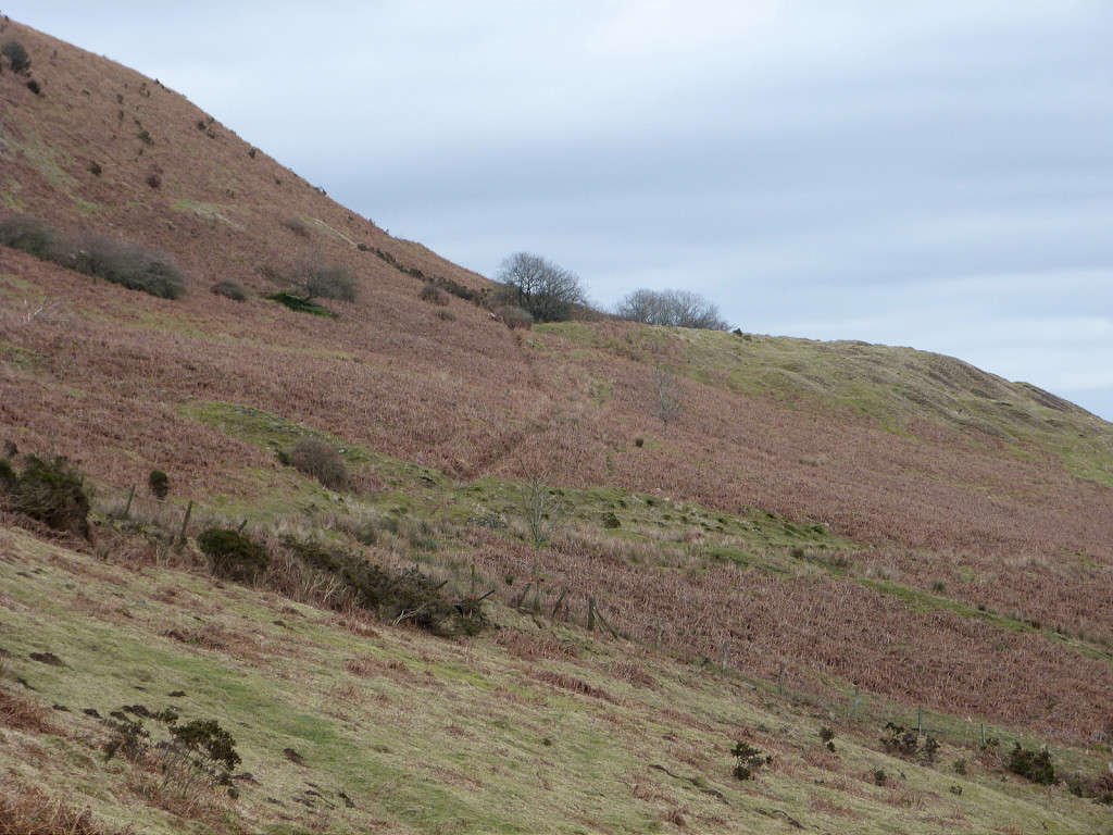
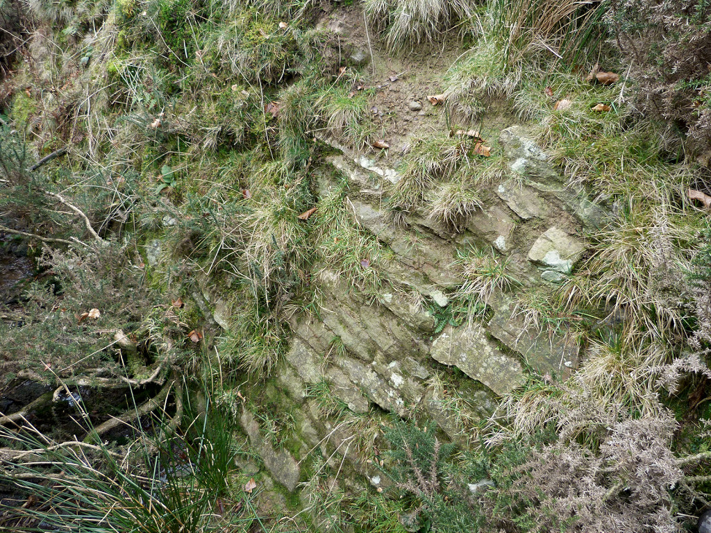
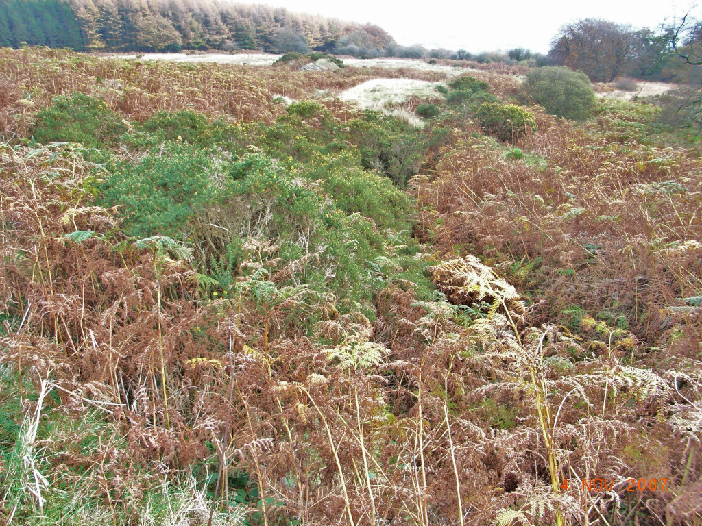
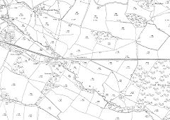
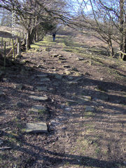
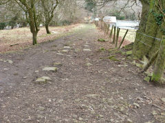
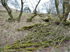
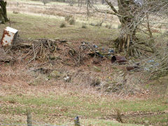
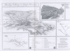
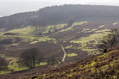
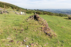
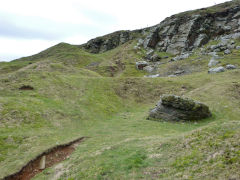
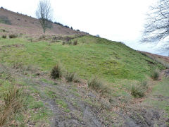
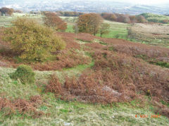
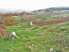
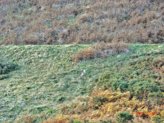
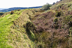
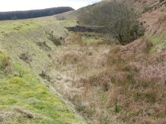
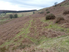
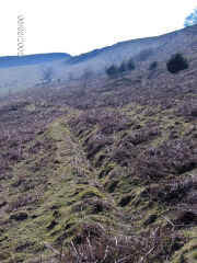
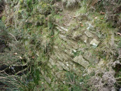
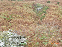
Henllys Incline - from bottom to top
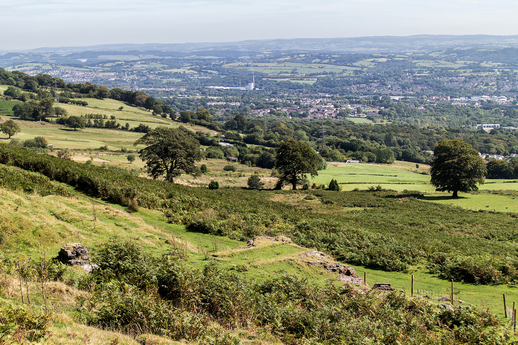
The Incline began at Henllys Brickworks canal basin and ran for around two miles to Henllys Colliery, rising over 600ft (210m) in the process. There were two main sections to the incline plus an extension to the large upper quarry. The main section rose steadily, running virtually due West, from the end of the brickworks yard to Machine Cottage. Machine Cottage stood beside the head of the main incline and the weighing machine, from which it took its' name, and Incline Terrace just below it included a shop. The upper section carried on steeply to the colliery. From there the third section ran up to the large quarry. There also appears to be a short incline up to the small upper quarry, coming off the tramway from the colliery yard to the upcast shaft.
Henllys Incline, the lower incline - ST 2857 9407 to ST 2669 9415
From the Hollybush roundabout, looking back towards the brickworks, the tramway from the colliery followed the access lane to the house and garage. Looking towards the colliery the tramway crossed the road and passed behind the now-demolished Mill Inn to cross Coed Eva Lane.
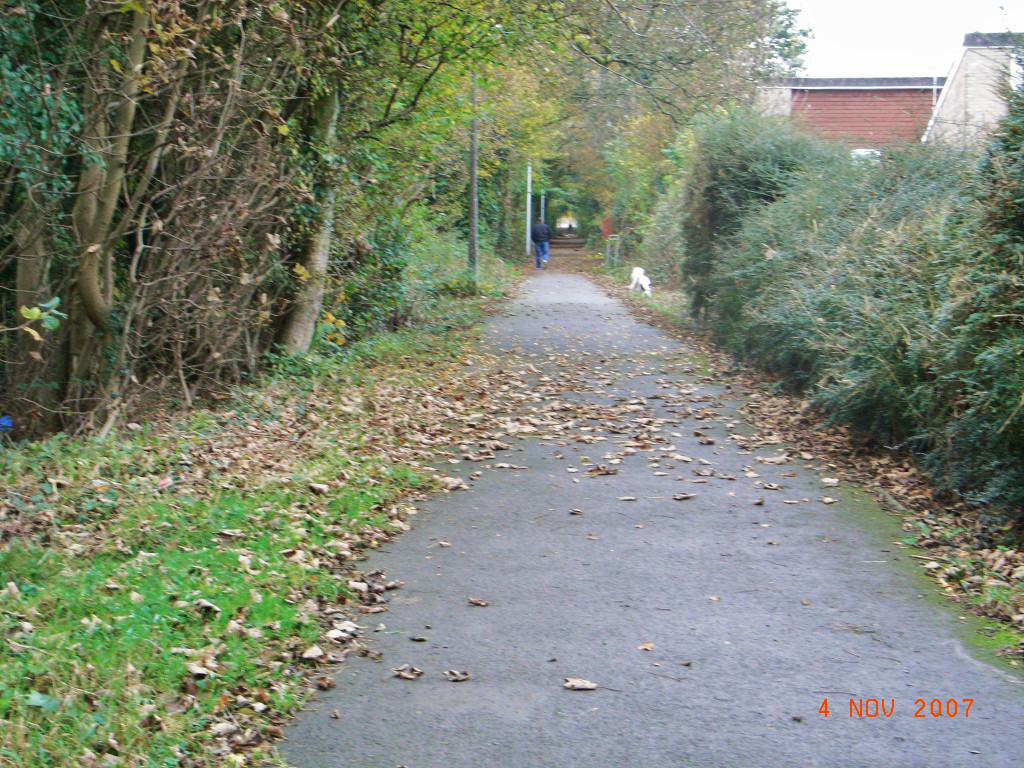
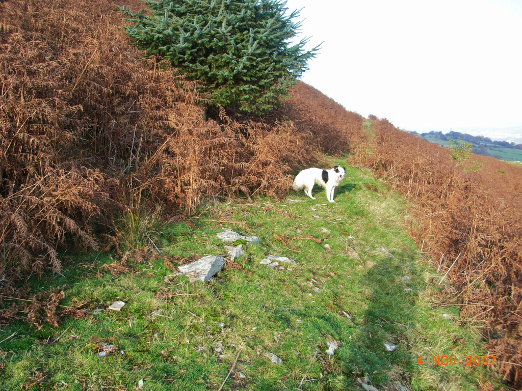
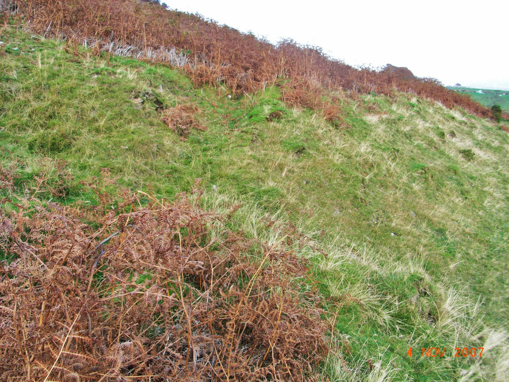
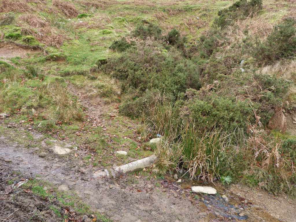
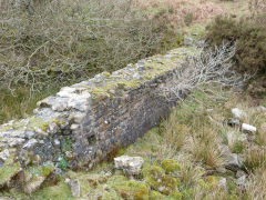
The lower incline started at ST 2825 9413, beside the stables for the horses that worked the brickworks area. From here, the route up to Incline Terrace and Machine Cottage is a modern public footpath. The passing loop would have been just below Penylan Way.
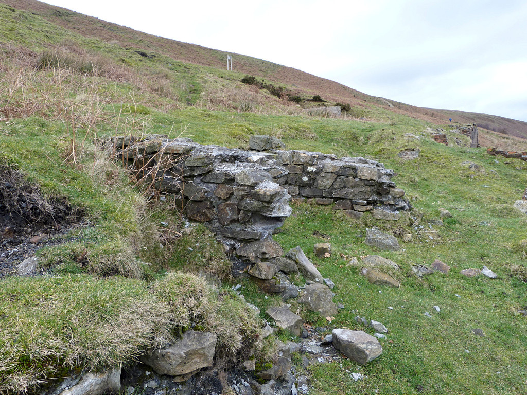
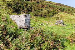
At ST 2681 9414, the restored abutments of an overbridge stand on course of old lane but they're not shown on OS maps. Incline Terrace on the left contained a shop, probably serving beer too!. On the right, Machine Cottage (ST 2669 9415) was the site of the weigh station and brakedrum for the lower incline.
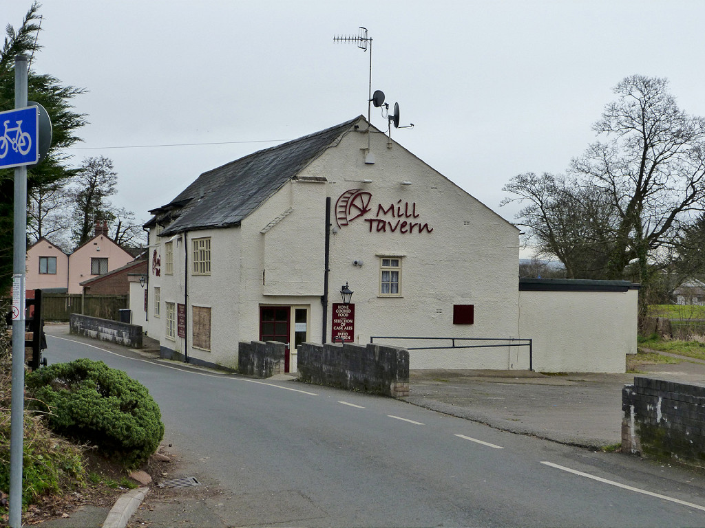
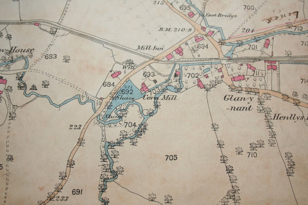
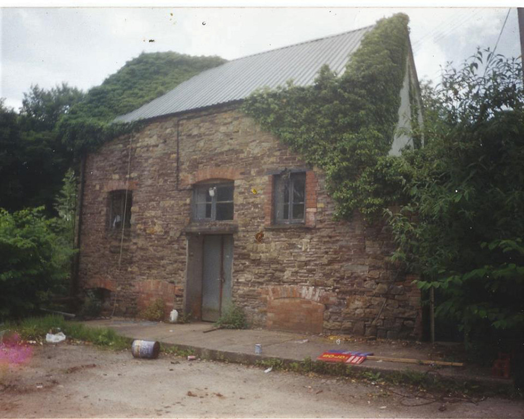
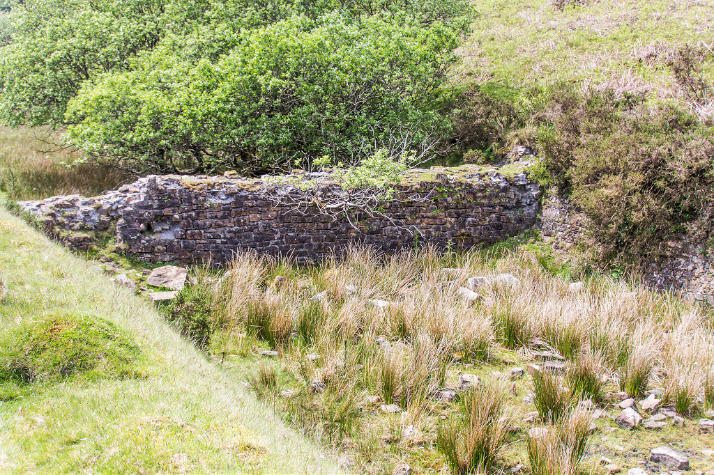
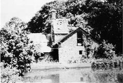
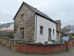
Coed Eva Mill and The Mill Inn - ST 2841 9403
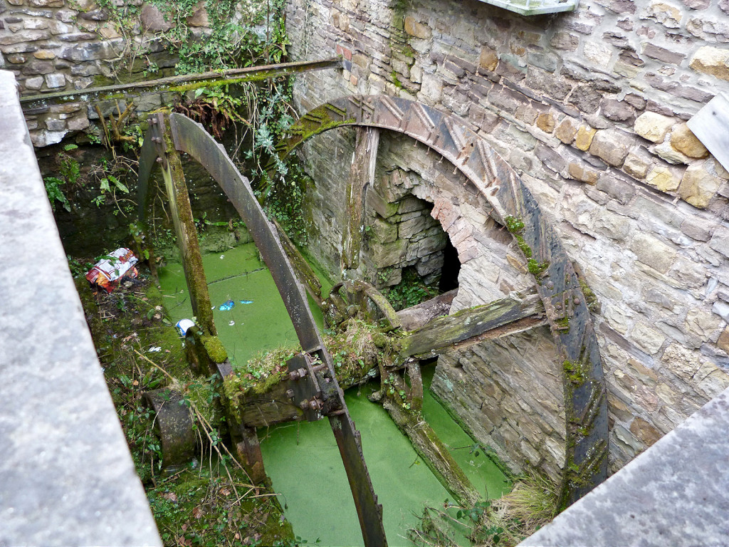
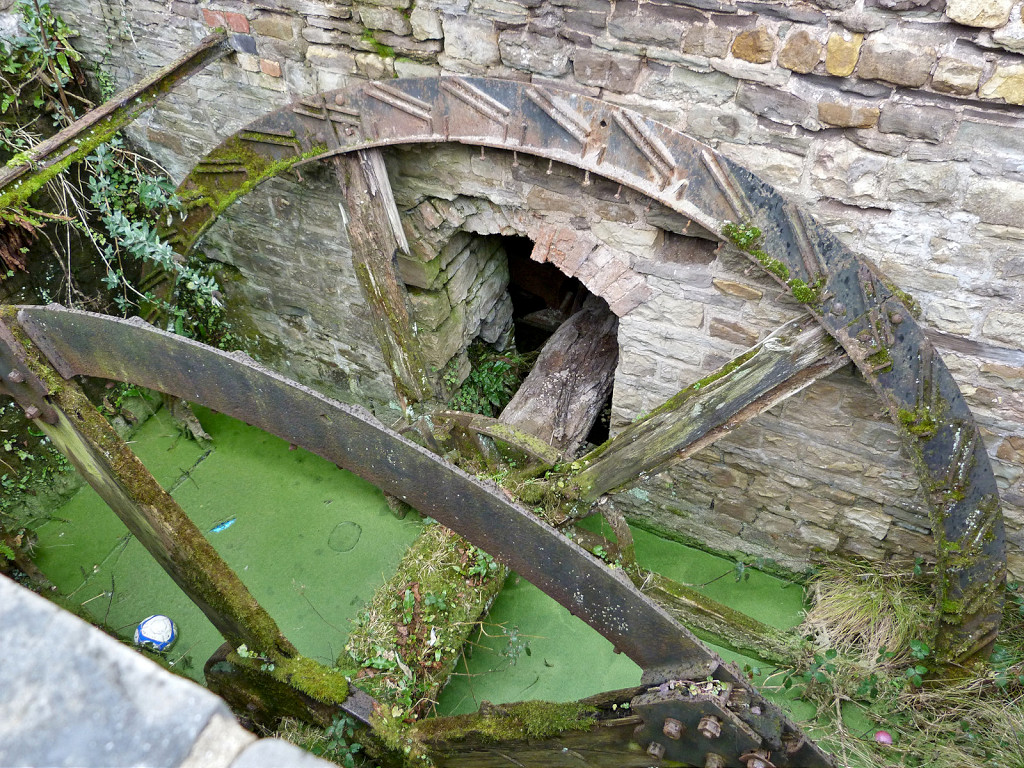
Coed Eva Mill is a private house but the remains of the waterwheel still exist beside the property. It appears to date back to the early 1800s but there was probably a mill on the site way before that. The Mill Inn (latterly the Mill Tavern) next door may well date from the building of the incline, thirsty work on the tramroad but sadly, like so many pubs, it was demolished in 2012.

The Mill Inn, Coed Eva
|

Coed Eva Mill and Inn, 1880
|
Coed Eva Mill
|
Coed Eva Mill
|
Coed Eva Mill
|

Coed Eva Mill waterwheel
|

Coed Eva Mill waterwheel
|
|
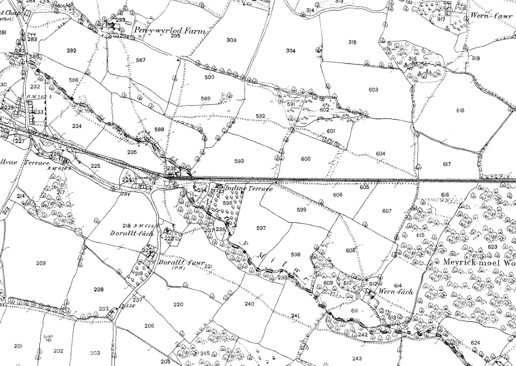
Henllys Lower Incline, 1880
|
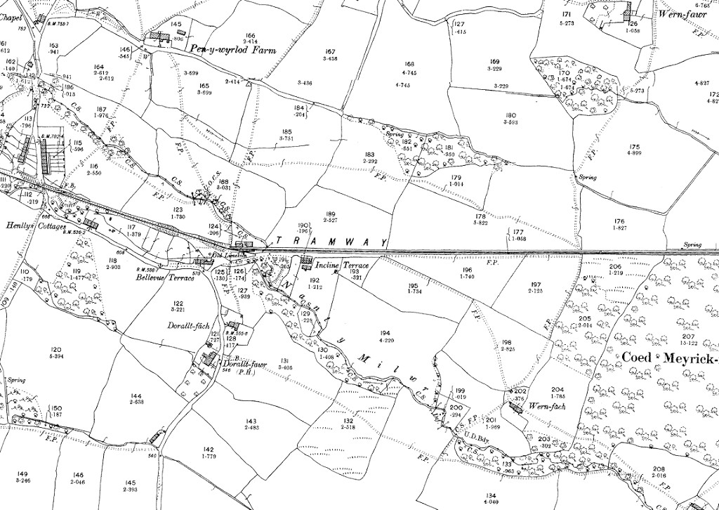
Henllys Lower Incline, 1901
|
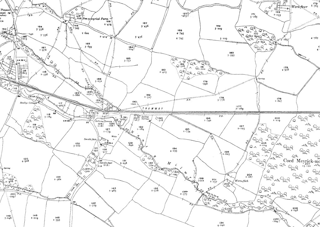
Henllys Lower Incline, 1920
|
|
Tramway into the brickworks
|
Tramway across Two Locks Road
|
Tramway from the Mill Inn
|
Tramway from Coed Eva Lane
|
Tramway from Coed Eva Lane
|
Foot of the lower incline
|
Lower end of the lower incline
|

Near the lower passing loop
|
Machine Cottage, Henllys, 1880
|
Machine Cottage, Henllys, 1901
|
Machine Cottage, Henllys, 1920
|

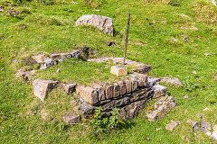
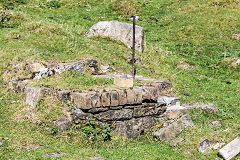
The Incline information sign
|
Overbridge on the lower incline
|

Overbridge on the lower incline
|
Overbridge on the lower incline
|

Looking down from Incline Terrace
|
Incline Terrace, Henllys
|

'Machine Cottage', Henllys
|
New Row, the miners houses
|
|
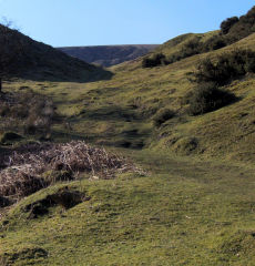
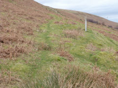
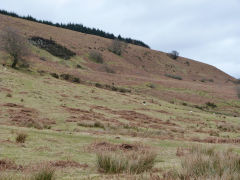
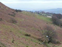
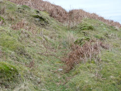
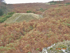
Henllys Incline, the upper incline - ST 2669 9415 to ST 2605 9435
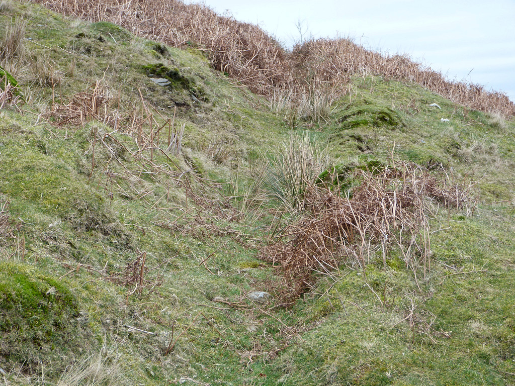
If you take the footpath to the right above Machine Cottage and cross the stile to your left, you'll find the incline runs on a low embankment along the edge of the field behind 'Four Houses'. A stile at the top brings you out onto 'Craig Llywarch Lane'. The incline crossed 'Craig Llywarch Lane' by a bridge at ST 2640 9423 and the abutment has been rebuilt to carry the footpath up the hillside. The incline continues steeply up to the colliery with possible stone sleepers visible.
Upper incline to Llywarch Lane
|
Upper incline from Llywarch Lane
|
Foundations of building
|
Upper incline to the Colliery
|
Possibly a stone sleeper
|
Looking down to Llywarch Lane
|

Culvert beside incline
|
Upper incline near Colliery tips
|
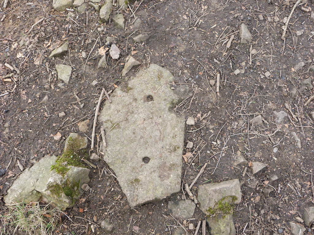
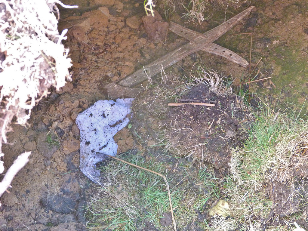
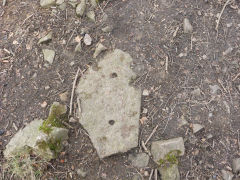
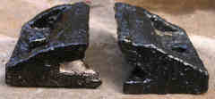
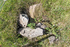
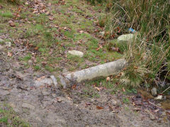
Chairs from the Henllys Incline tramway
Lawrence Skuse found the two chairs pictured below and says "The Henllys tramway chairs were found at two different parts of the Henllys Incline (one Lower, the other Upper). As you can see, one still has the bolt which attached it to the stone slab sleeper, the other not. One is also slightly larger than the other; whether this is because they had slightly different loads due to differing steepness of the incline along its route, or just that from 1815-1927, different patterns were bought in over the period I can't say; the latter I suspect.". Many thanks to Lawrence.
Henllys Incline chairs
|
Henllys Incline chairs
|
|
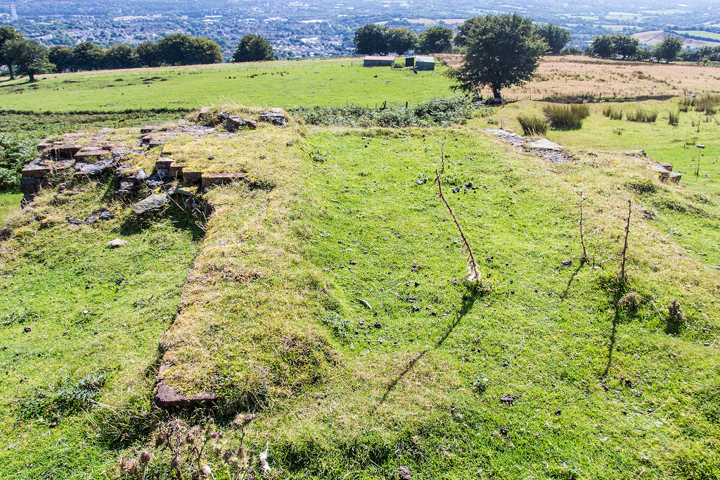
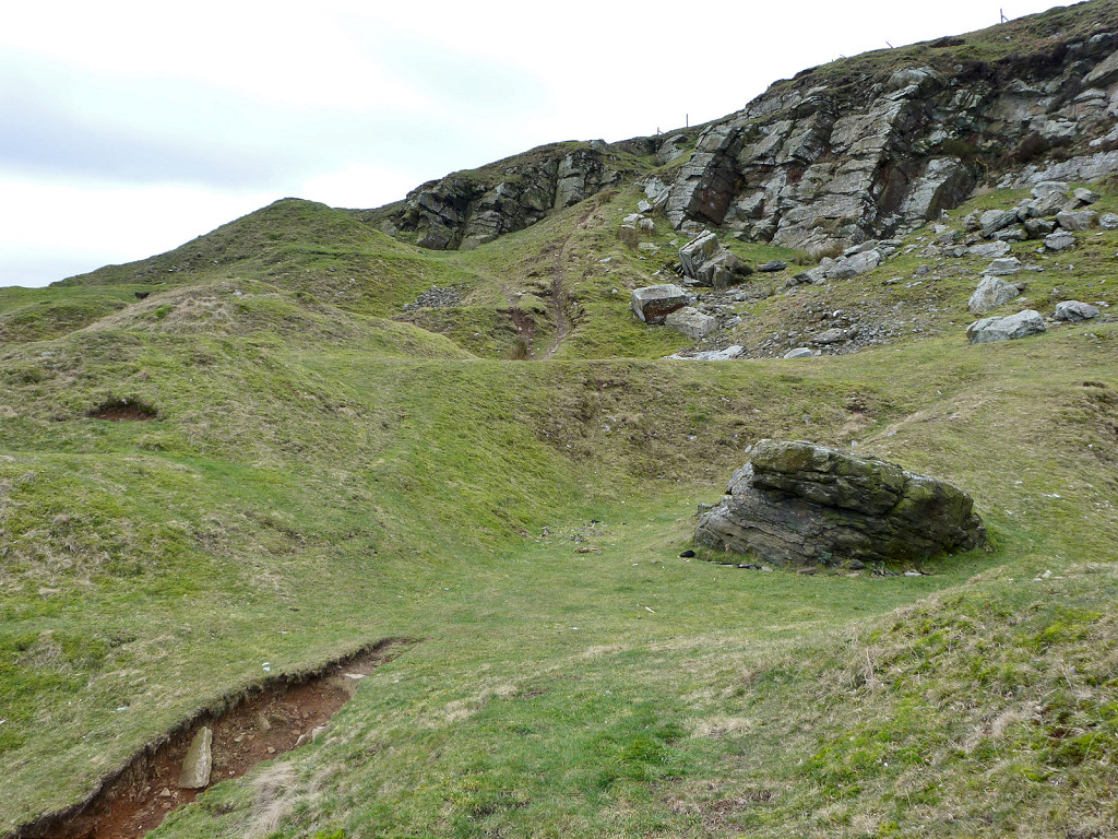
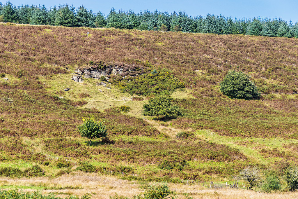
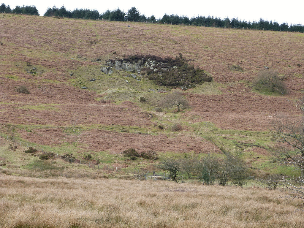
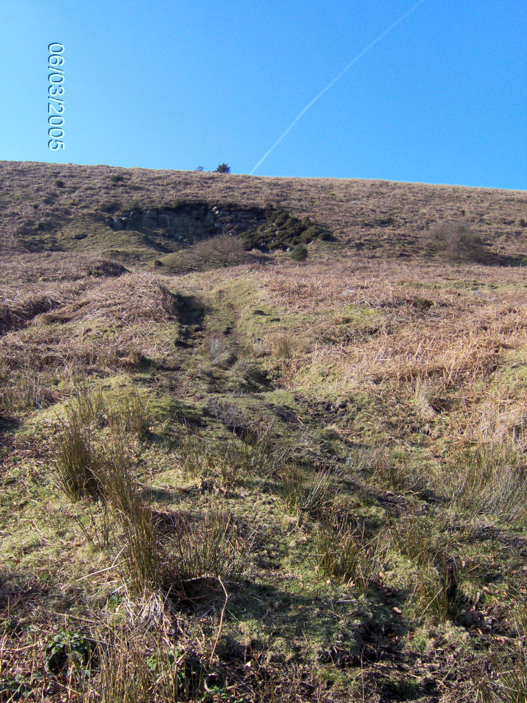
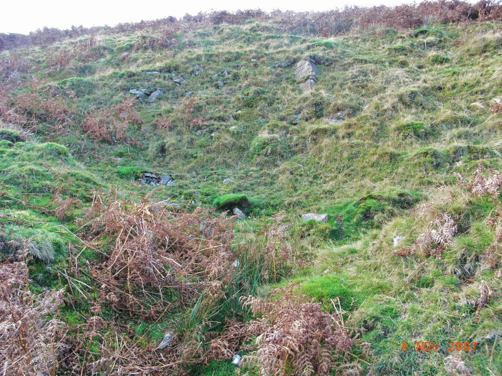
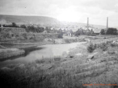
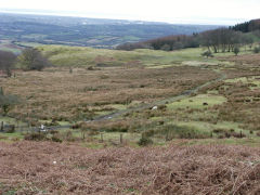
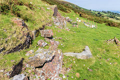
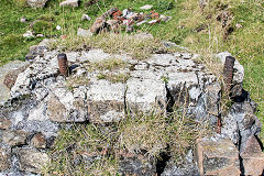
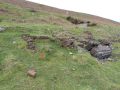
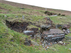
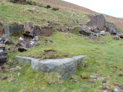
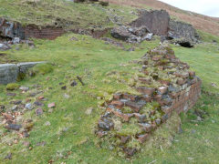
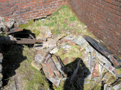
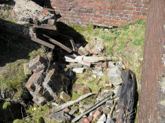
Henllys Colliery Main Level
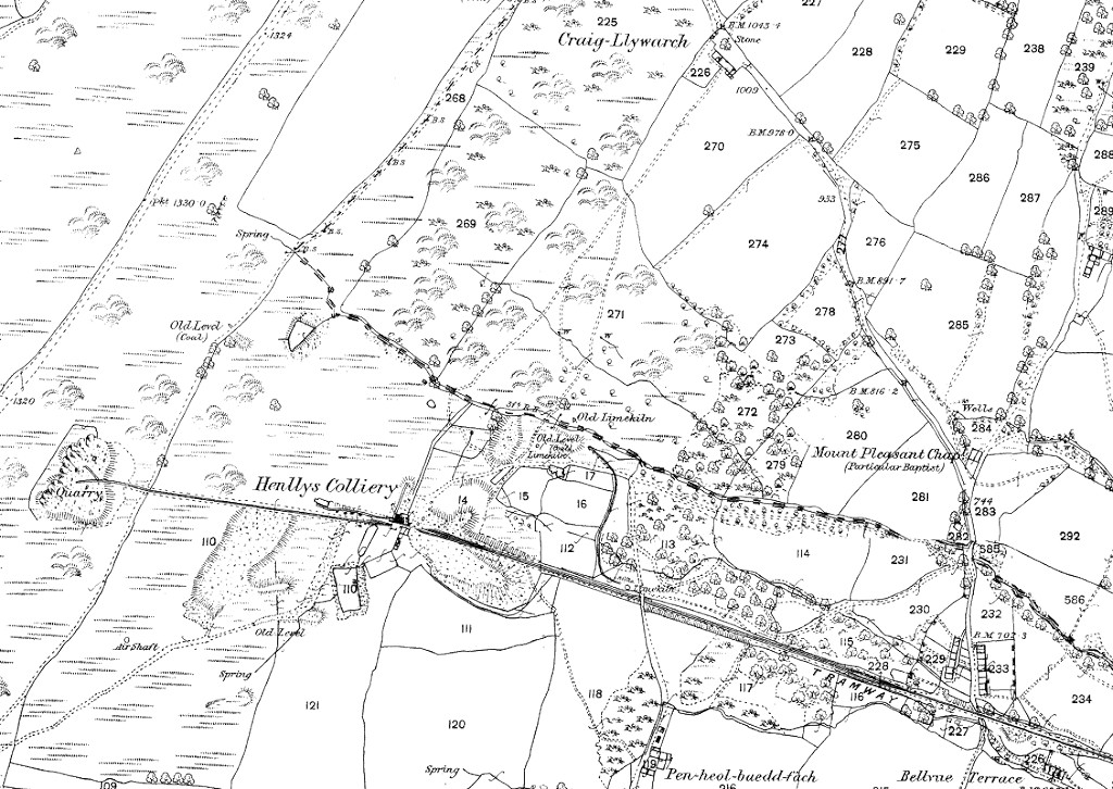
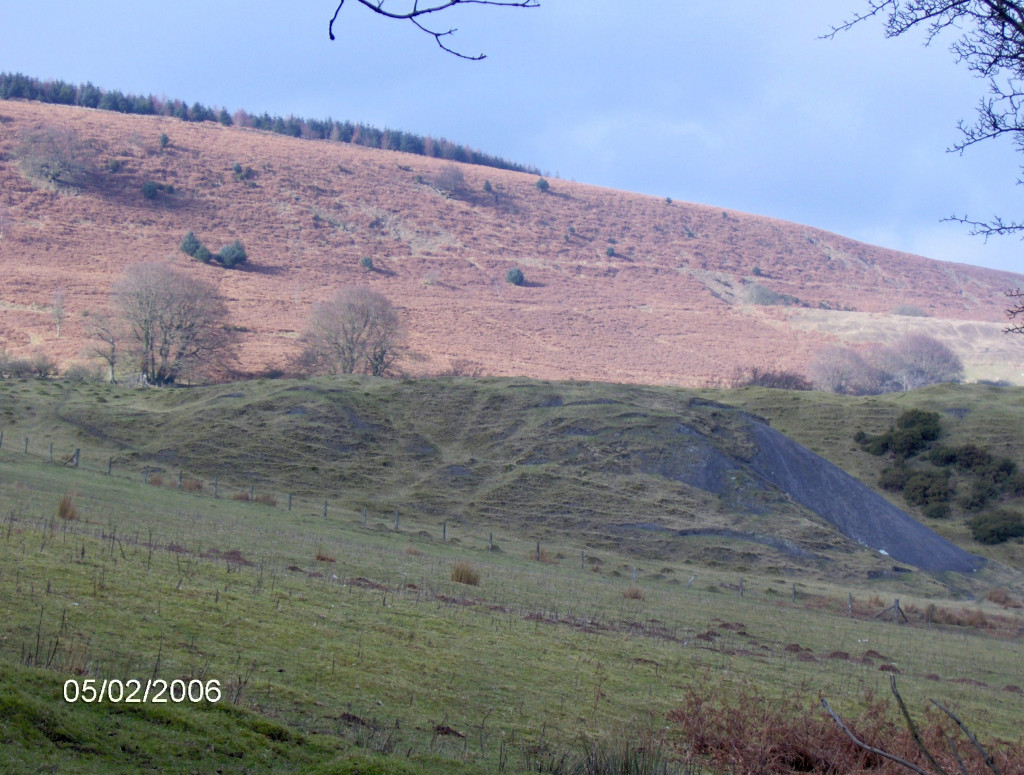
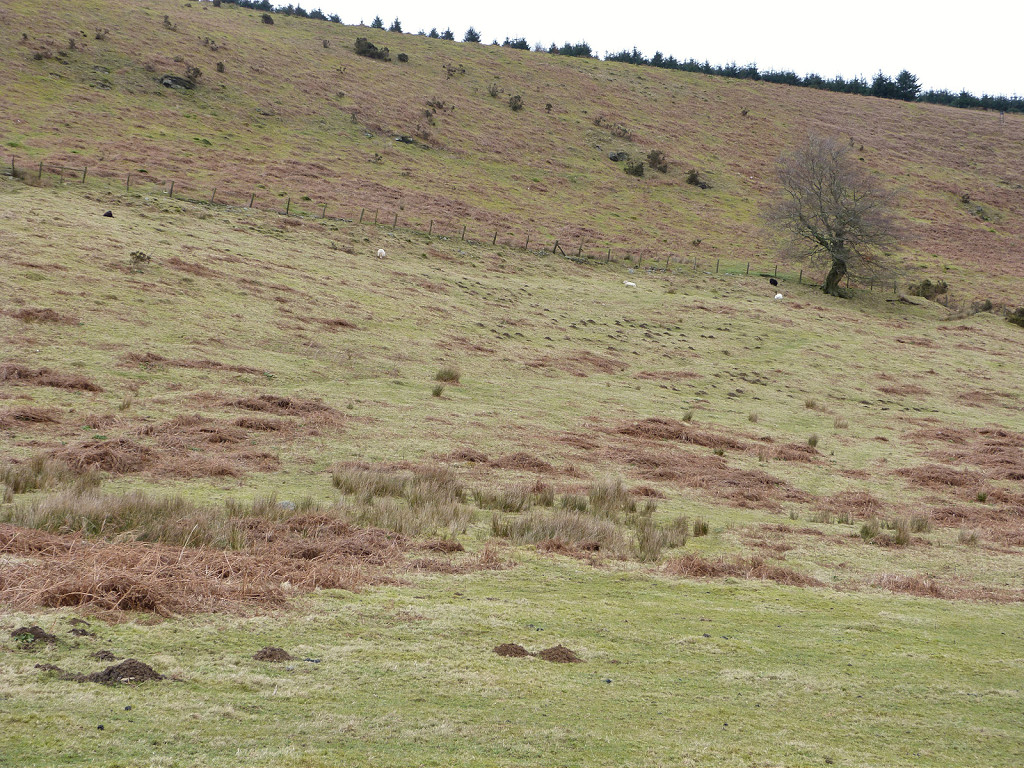
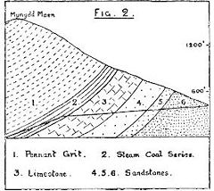
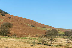
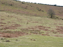
This was the closest Eastern Valley colliery to Newport, at 900ft (300m) high on the hillside above Cwmbran. Joshua Hanson opened it in c1814 along with the incline and tramway down to the canal basin and brickworks at Ty-coch. Around 1878 the colliery changed hands, passing to J C Hill of the Oakfield Wireworks, later 'Whitehead, Hill & Co'. The colliery came under the ownership of 'The Patent Nut and Bolt Co' of Cwmbran, later GKN Ltd, by 1896 when 67 men were employed, 51 underground and 16 on the surface, one of whom was my Grandfather. They were raising around 30,000 tons of coal per year. Employment had dropped to just 10 men in 1901 but was back up to 139 by 1911. Both colliery and incline closed around 1926 as being unrenumerative. Sadly five men lost their lives during the colliery's working life (RL). The ruins of the engine house, other buildings and open level were still there in 1959-60 when I first visited it, the level being full of tiny frogs!
The main colliery consisted of the main or downcast level, three quarries, two reservoirs, a drainage or water level, a double limekiln and a small row of cottages. The quarries supplied the stone for the Ebenezer Chapel of 1860 at Two Locks. In June 1970 the whole area around the level was bulldozed and filled with weathered shale (RL).
The upcast shaft was about 1/2 mile to the north, around 15ft diameter and 370ft deep, connected to the main area by a tramway. It doesn't appear on the 1882 OS map but is shown on the 1901 version. Certainly the remaining foundations appear more modern, being a mix of Stone, brick and concrete. The ventilating fan from Cwmbran Mineslope came here in 1916 (wcm).
A drainage level was driven through the hillside to the Nant Carn valley, shown as a coal level with an airshaft just above it in 1880 but 'old' in 1901. In 1952 a borehole was driven from Cwmcarn Colliery into the old Henllys and Cwmbran workings to relieve the build-up of water pressure.
There were also four small levels about 1/2 mile to the South, above Blaen-y-cwm Farm. They don't appear on the 1901 OS map but one is shown as 'old' in 1920 and three others as
'disused' by 1962.

Henllys Colliery main level, 1880
|
Henllys Colliery main level, 1901
|
Henllys Colliery main level, 1920
|
Henllys Colliery gradient diagram, 1920
|
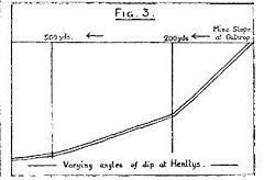
Henllys Colliery gradient diagram, 1920
|
|
Henllys Colliery Main Level
The incline runs between the tips of the colliery. Just below the tips the course of the tramway round to the old level goes off to the right.
Limekiln or level below tips
|
Limekiln or level below tips
|

Limekiln or level below tips
|
Limekiln or level below tips
|
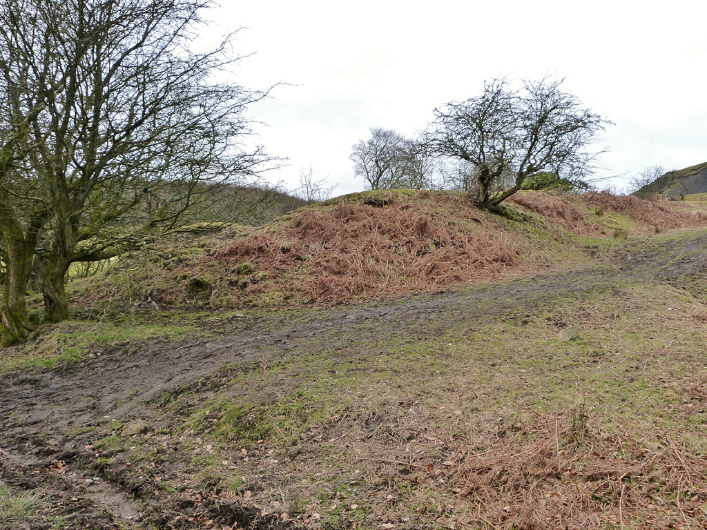
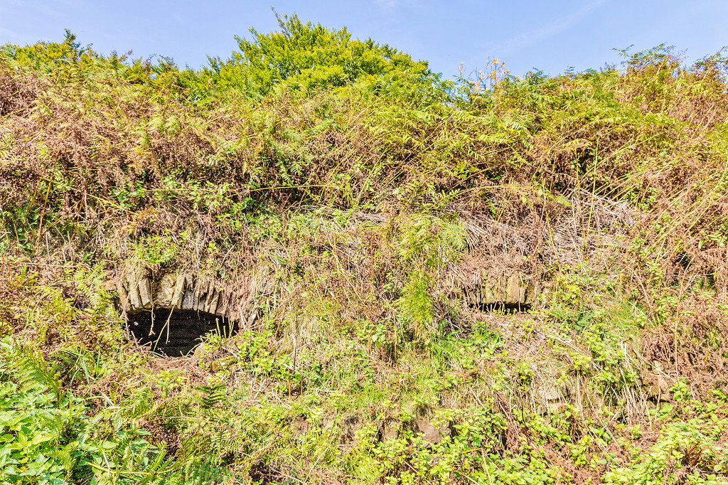
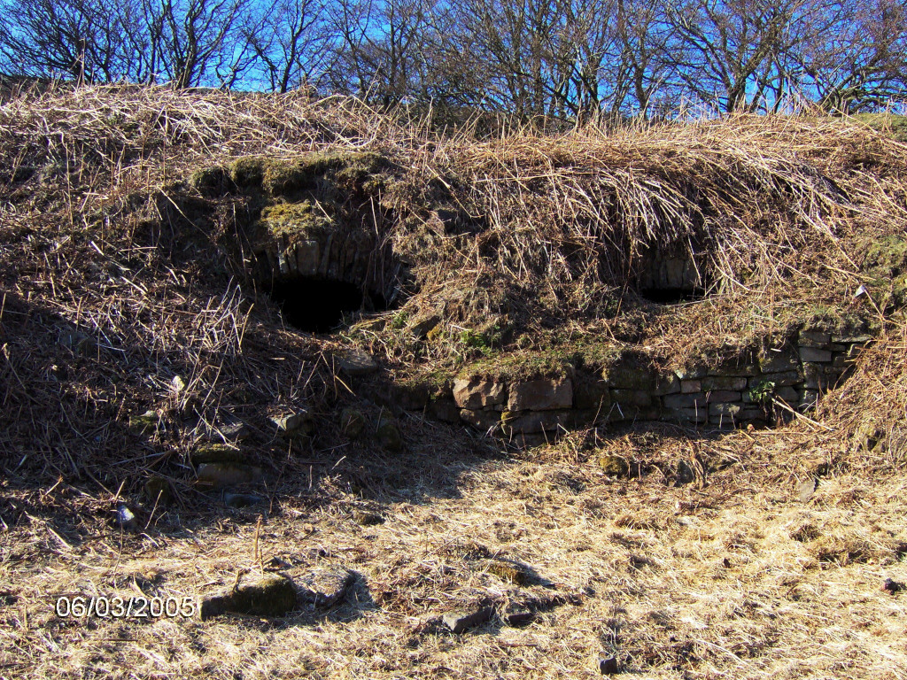
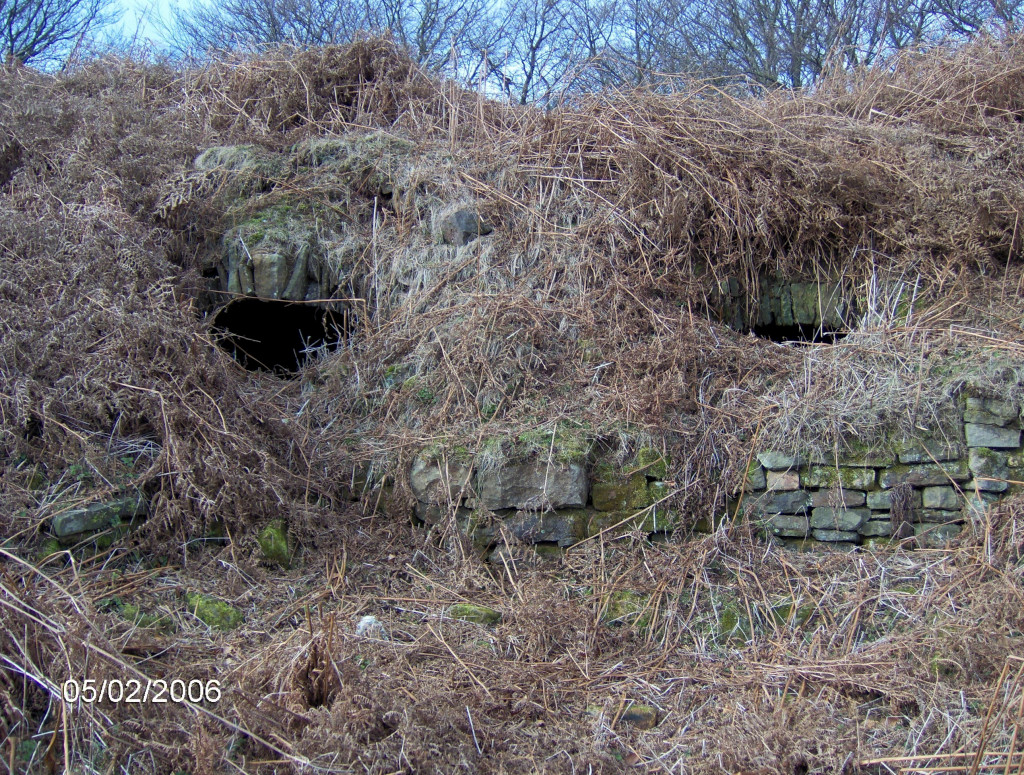
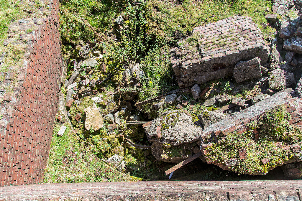
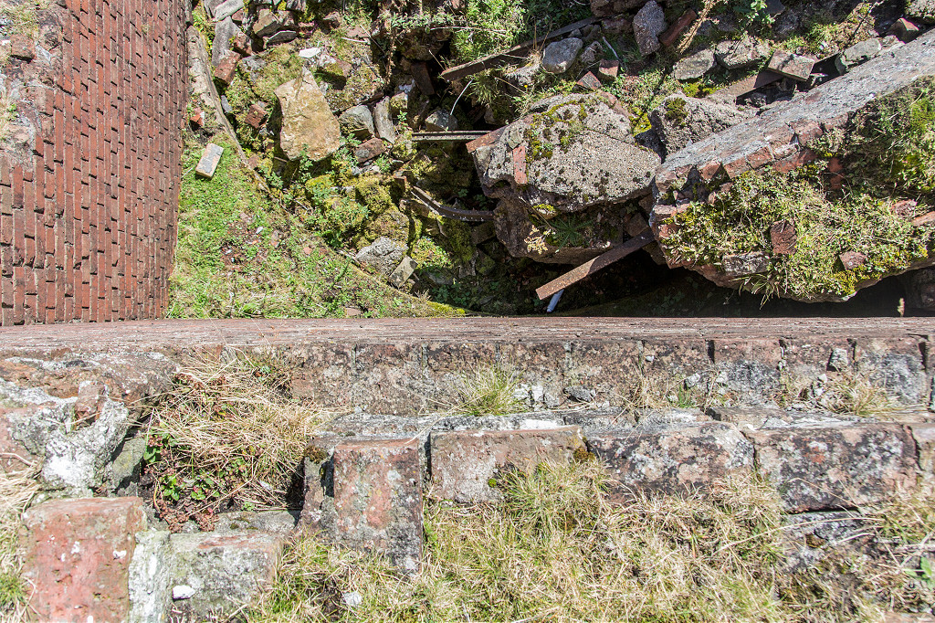
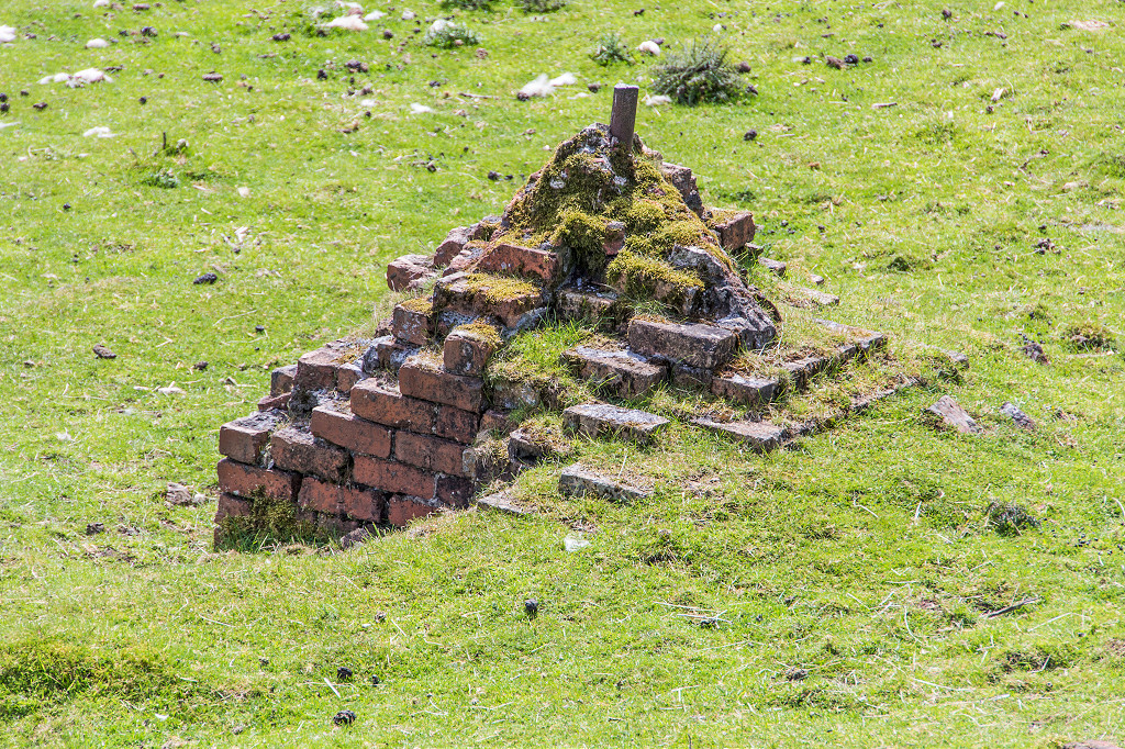
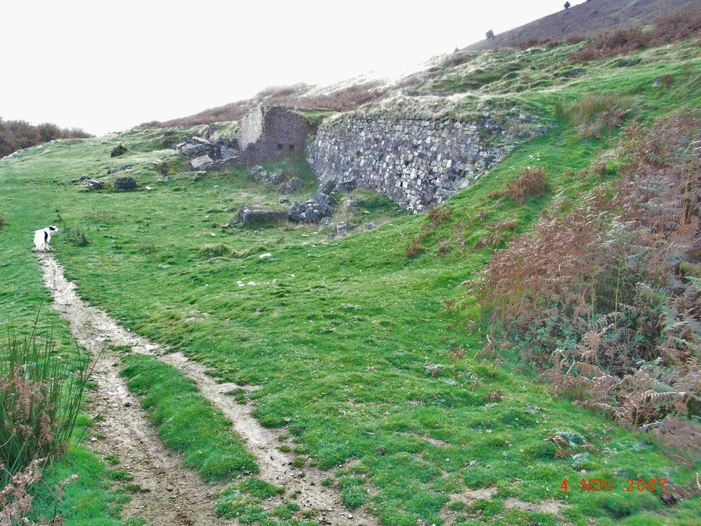
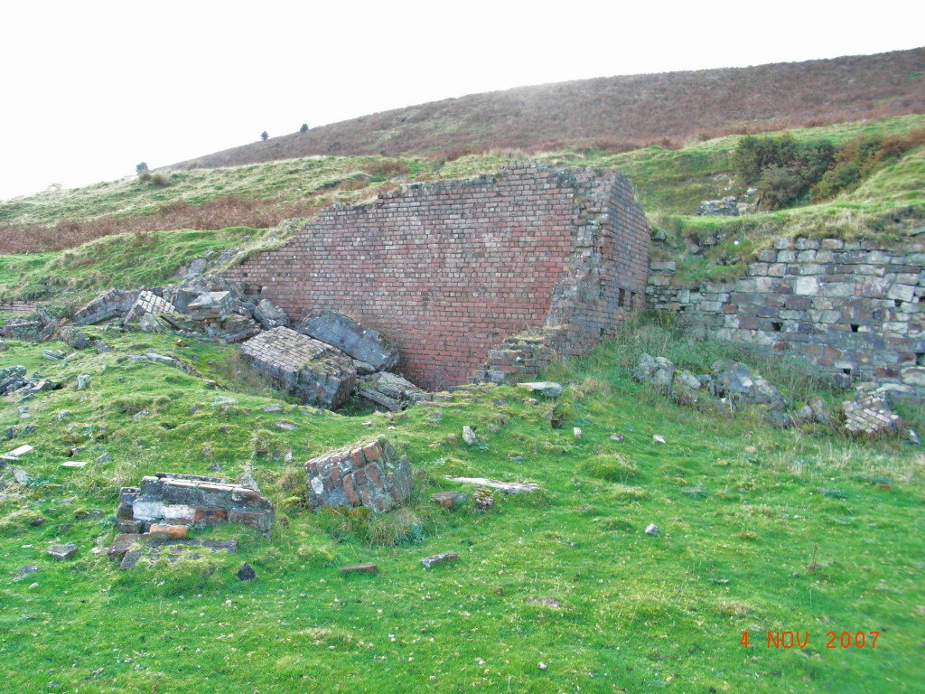
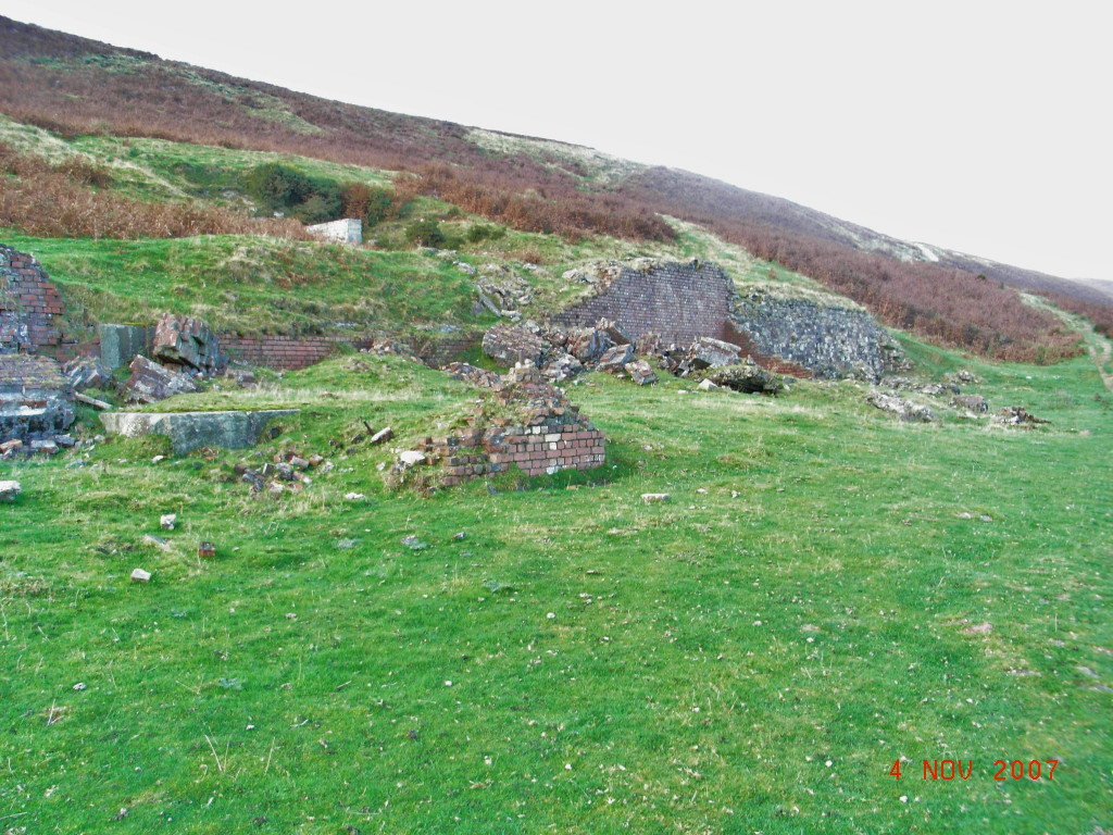
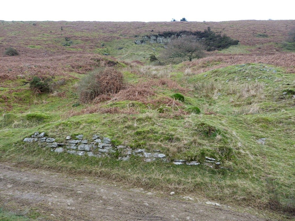
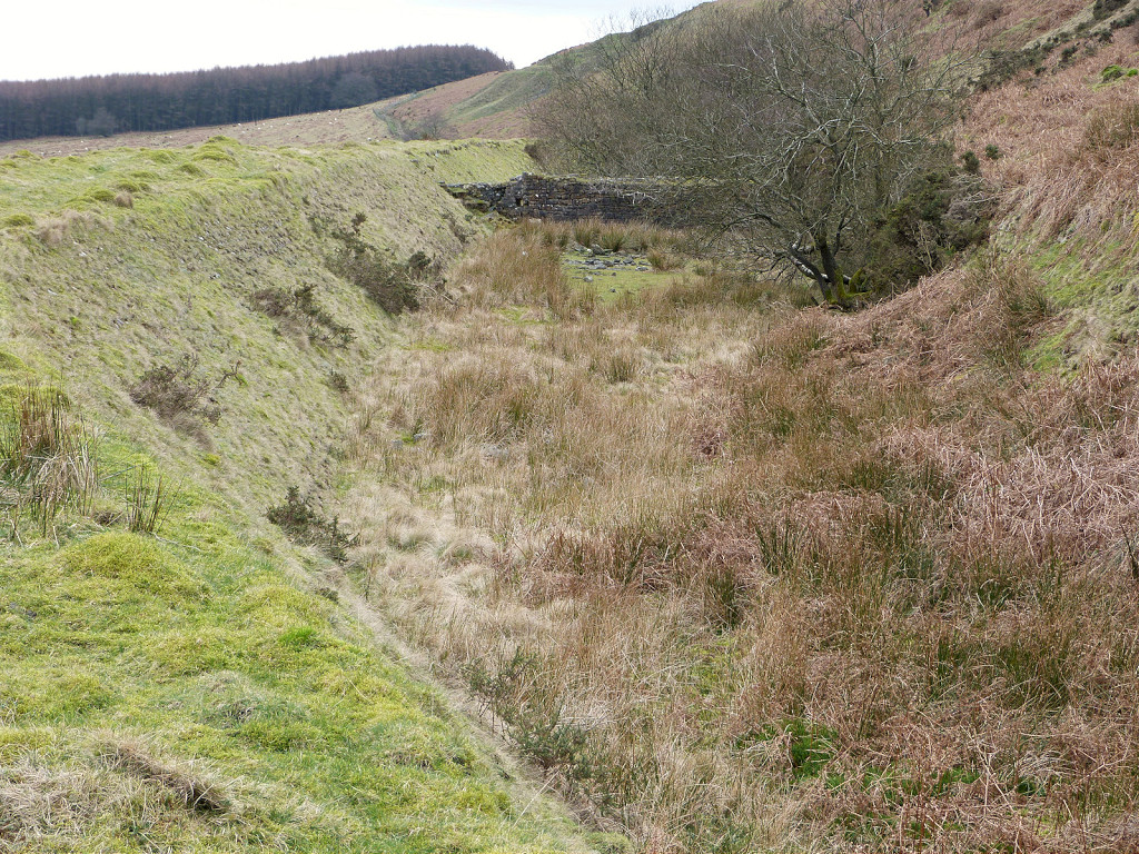
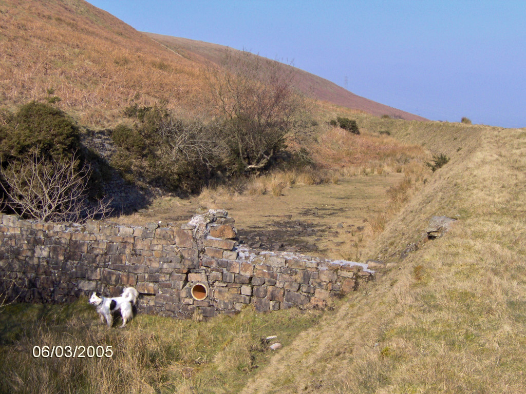
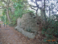
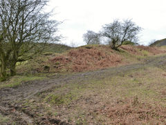
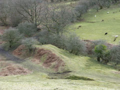
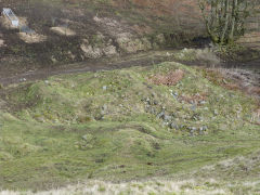
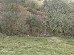
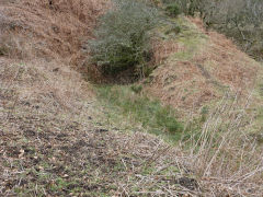
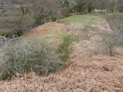
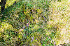
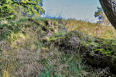
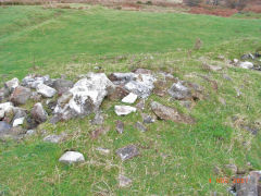
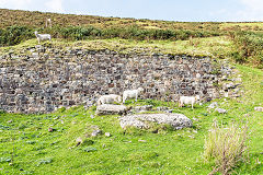
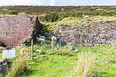
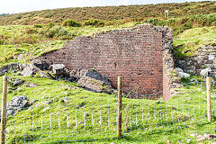
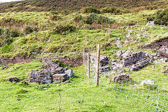
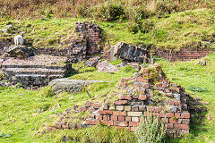
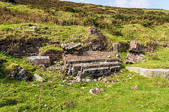
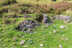
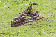
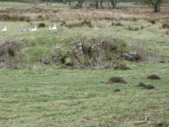
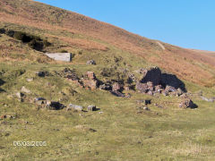
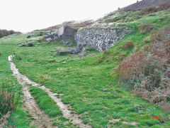
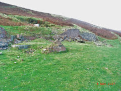
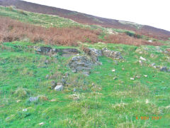
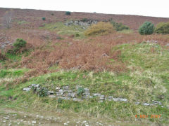
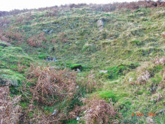
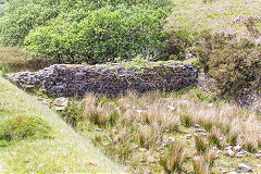
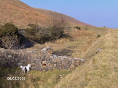
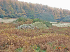
Limekilns, level and cottages - ST 2606 9446
Following the course of the tramway below the tips brings you first to the foundations of some buildings, including those of Kiln Cottages, later known as Tip Terrace. The rather wet approach to the old level, looks more like stream now, is on the right and the rather ruined limekilns just behind it.

Tip Terrace, Henllys Colliery
|

Tip Terrace, Henllys Colliery
|
Tip Terrace, Henllys Colliery
|
Tip Terrace, Henllys Colliery
|
Tip Terrace, Henllys Colliery
|

Tip Terrace, Henllys Colliery
|
The old level at Tip Terrace
|
The old level at Tip Terrace
|

Limekilns opposite Tip terrace
|
Limekilns at Tip Terrace
|
Limekilns at Tip Terrace
|
Northern limekiln or level
|
Northern limekiln or level
|
Northern limekiln or level
|
Northern limekiln or level
|
|
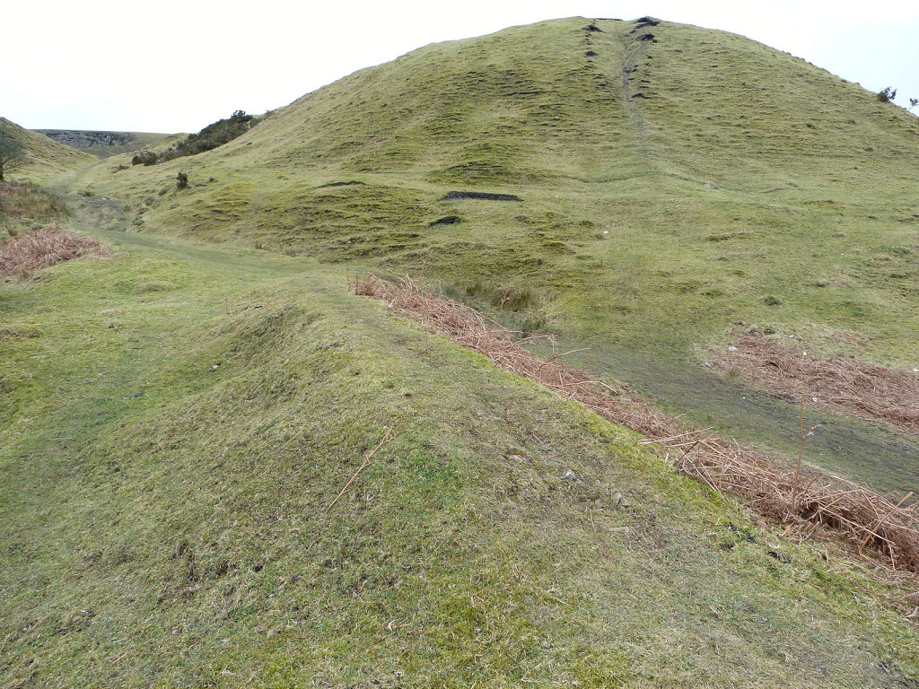
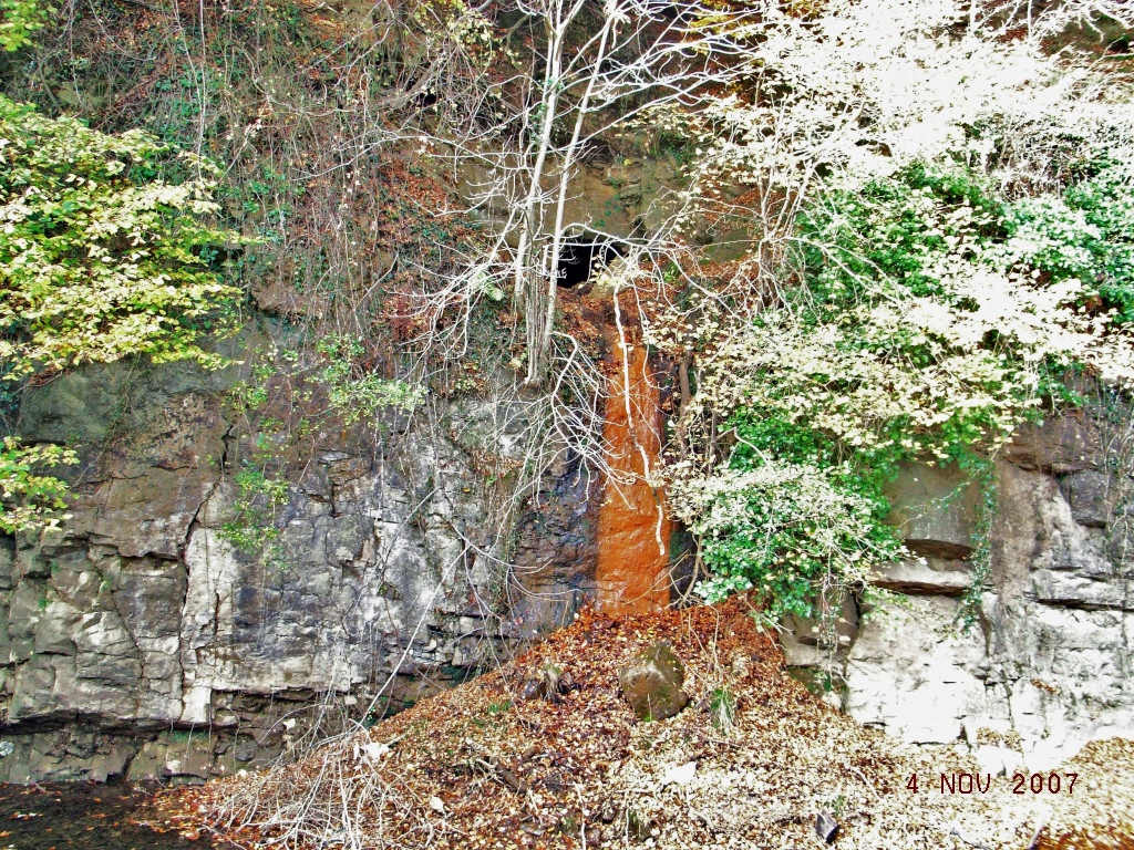
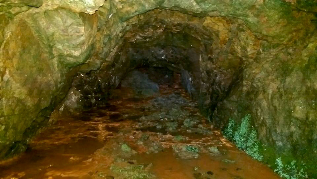
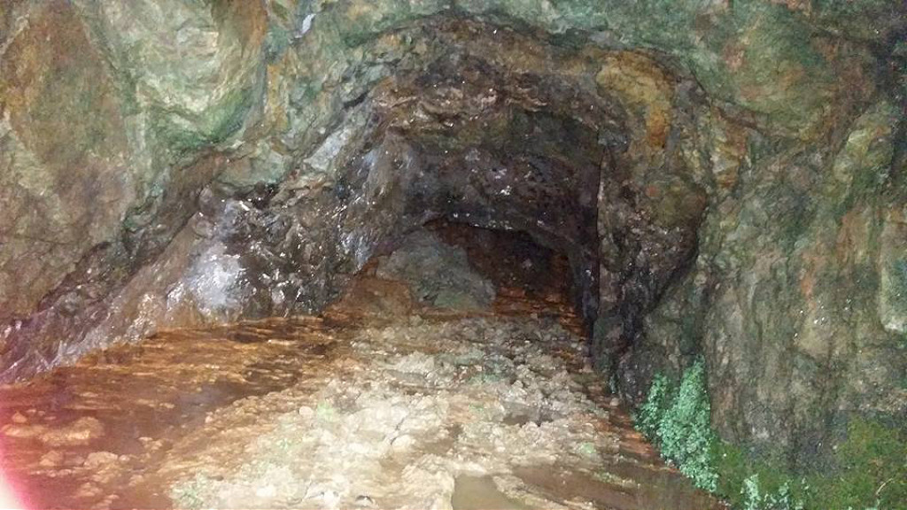
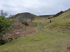
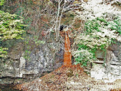
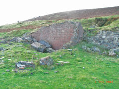
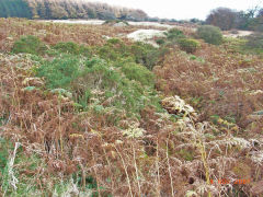
Colliery Quarry and drainage level - ST 2600 9449
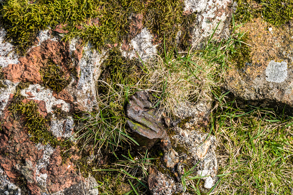
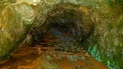
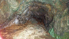
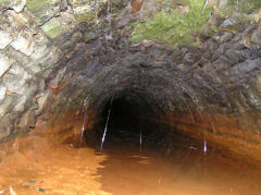
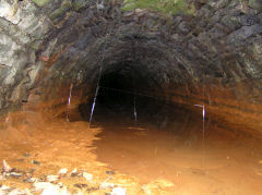
The incline runs between the tips of the colliery. Just below the tips the course of the tramway round to the old level goes off to the right.The Colliery quarry has a drainage level in the centre of the face, the dribbling water has stained the quarry wall quite orange. A caving group invetigated it in 2016 and it is blocked by a collapse a short way in.
Henllys Colliery quarry
|
Henllys Colliery quarry
|
Quarry and drainage level
|
Quarry and drainage level
|

Quarry and drainage level
|
Quarry drainage level
|
Quarry drainage level
|
Quarry drainage level
|
Quarry drainage level
|
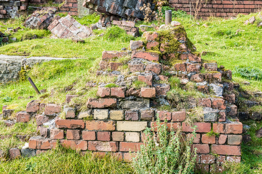
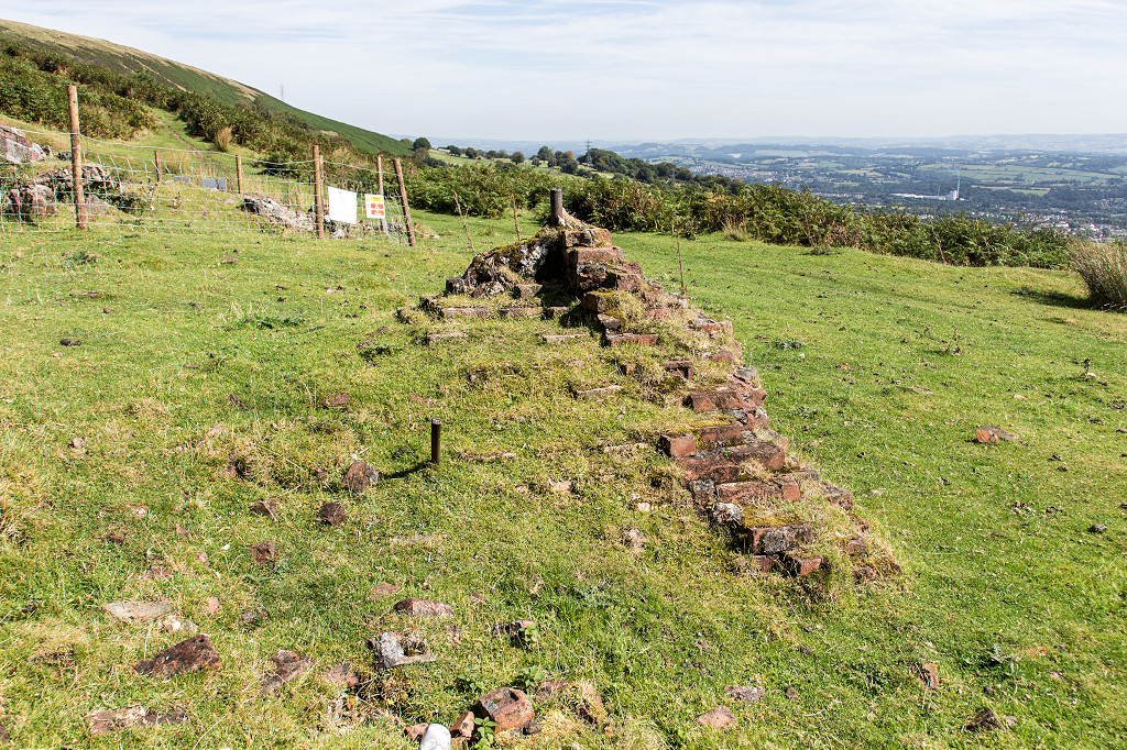
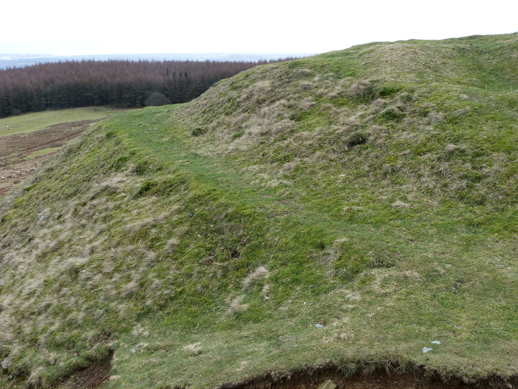
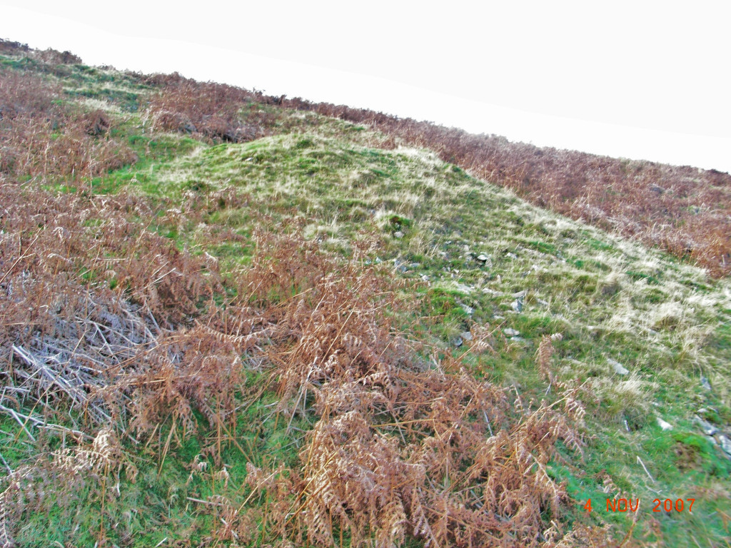
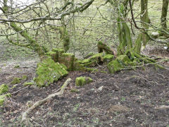
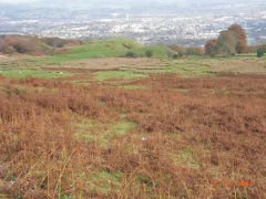
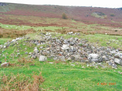
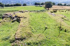
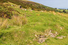
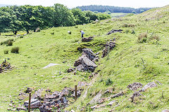
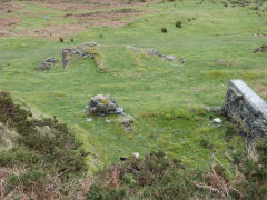
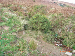
Site of main level - ST 2588 9441
Sadly the whole of the colliery site and the lower reservoir has been cleared, levelled and filled. A mound of rubble at the top of the incline marks the approximate site of the main level.
Information board near Dorallt Inn
|
Engine house, c1950
|
Lower reservoir, c1930
|
Lower reservoir, c1950
|
Lower reservoir, c1970s
|

Lower reservoir, 1971
|
|
|
Shaft near main level
|
Main level area from small quarry
|
Colliery from Heol-y-badd Lane
|
Colliery from the SouthWest
|
Colliery from the NorthWest
|
Site of main level
|
Site of main level
|
|
Henllys Colliery Upcast Shaft
Henllys Colliery upcast shaft, 1880
|
Henllys Colliery upcast shaft, 1901
|
Henllys Colliery upcast shaft, 1920
|
Tramway to upcast shaft - ST 2588 9463
The route of the tramway from the main adit to the upcast shaft. On the left used to be an airshaft in 1882, now just a slight depression.

The site of a pre-1880 shaft
|
|
|
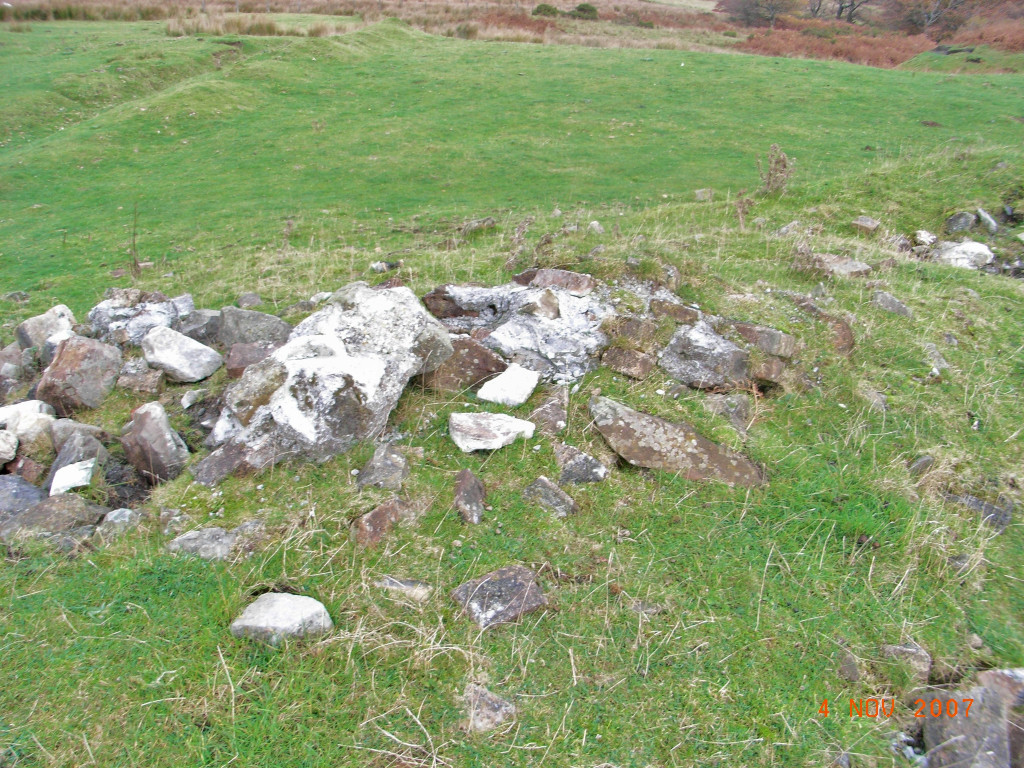
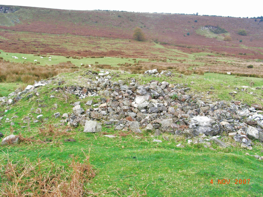
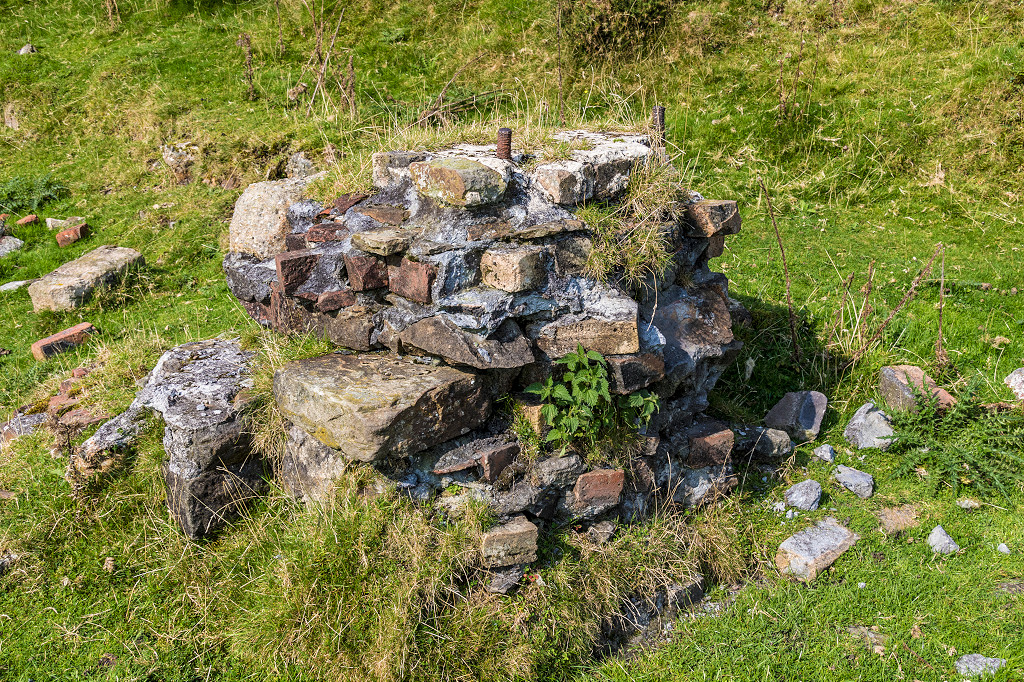
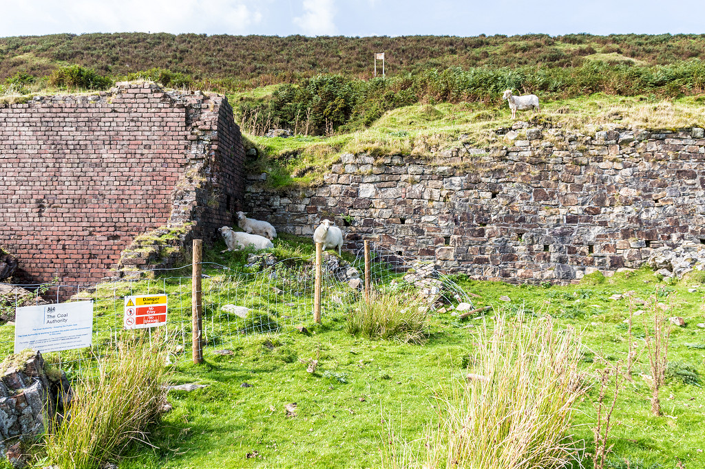
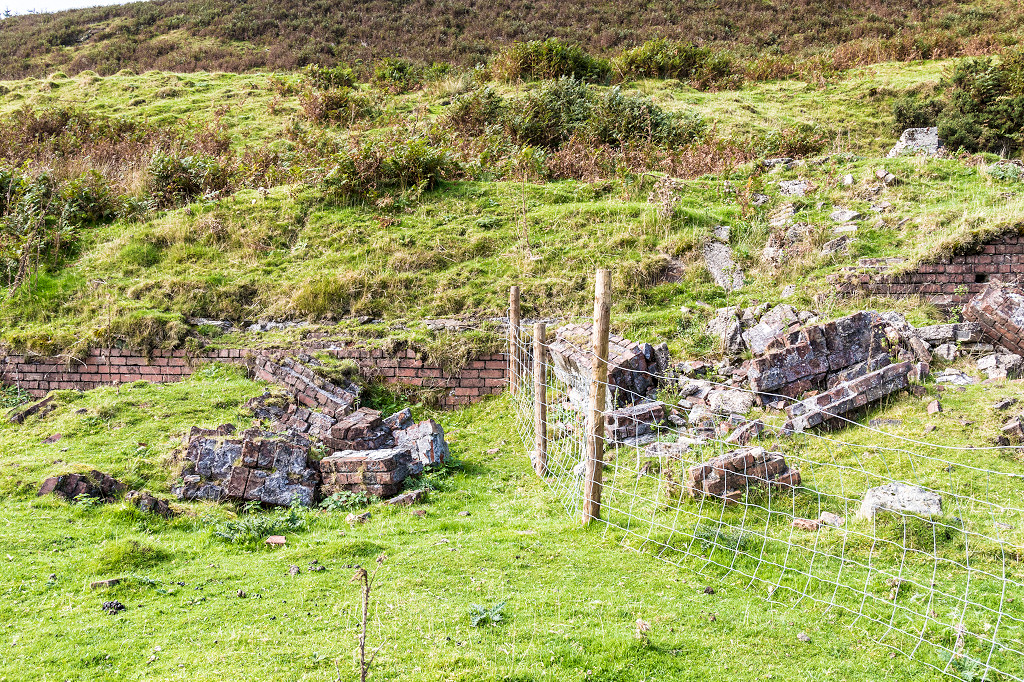
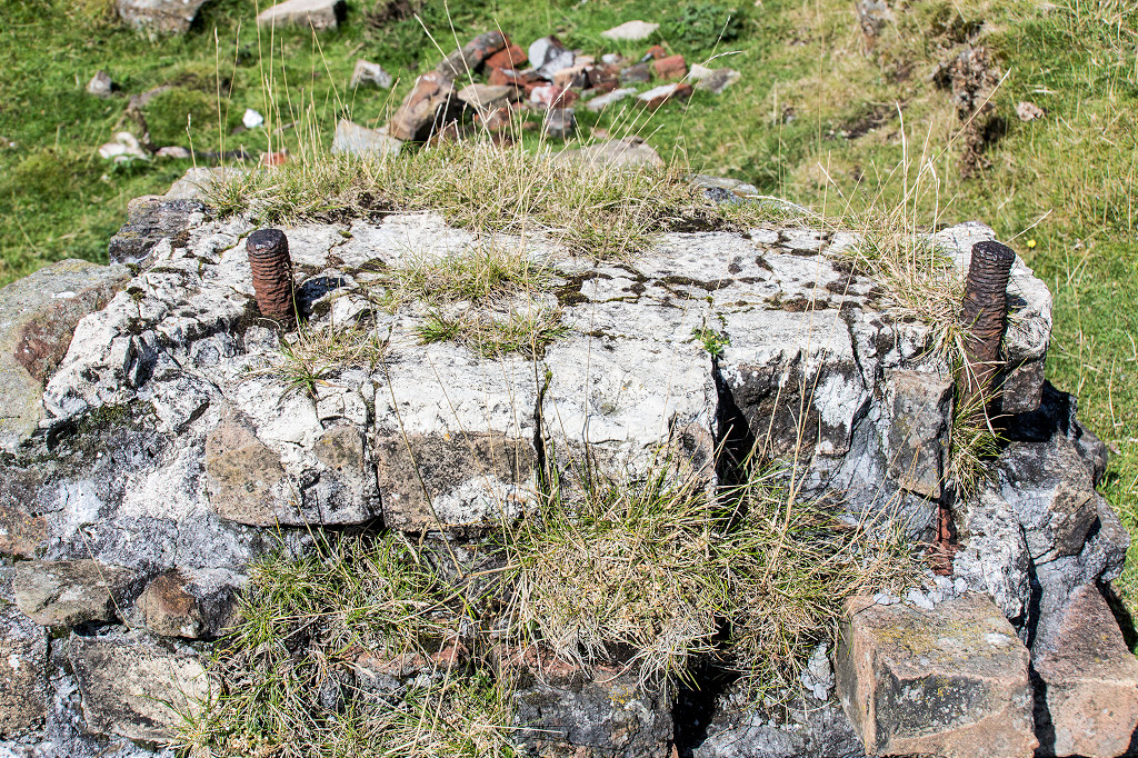
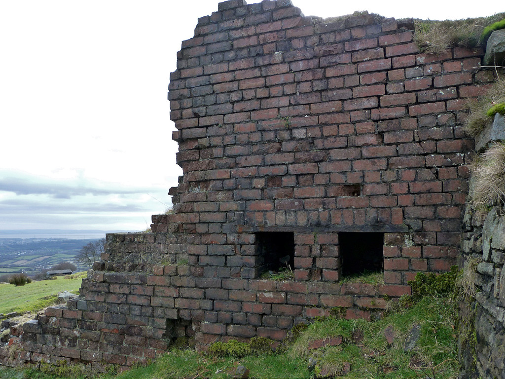
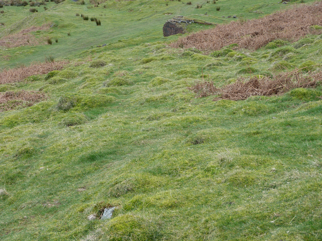
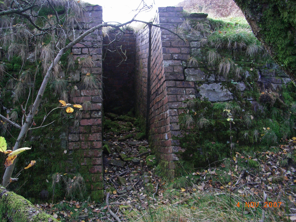
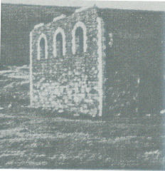
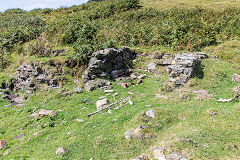
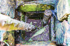
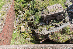
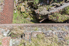
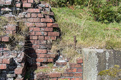
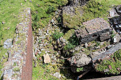
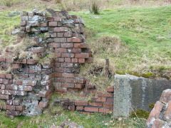
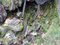
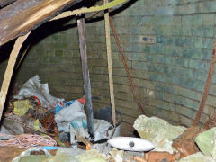
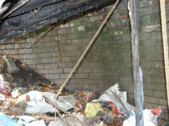
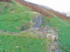
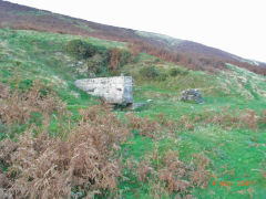
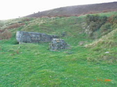
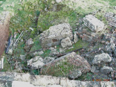
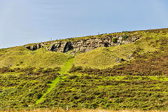
Upcast shaft and ruins - ST 2607 9506
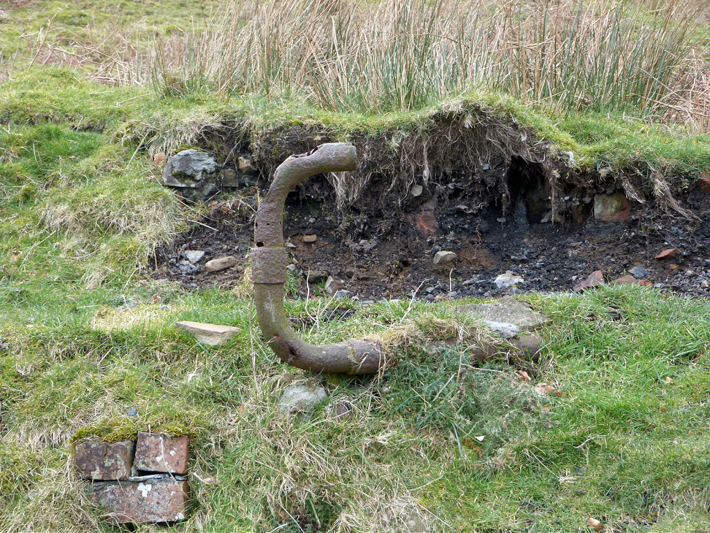
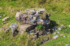
Ruins, tips, foundations, ironmongery and the site of the15ft upcast shaft are all around you.
A filled-in pit
|
The engine house
|
The engine house
|
Foundations
|
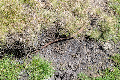
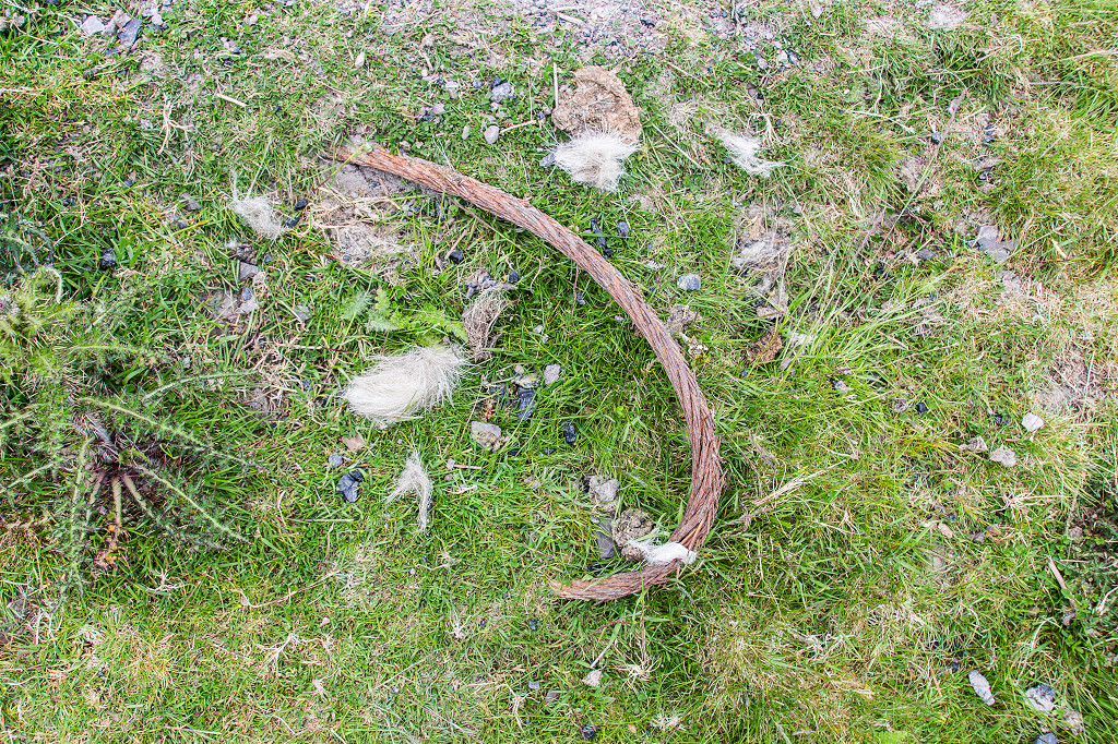
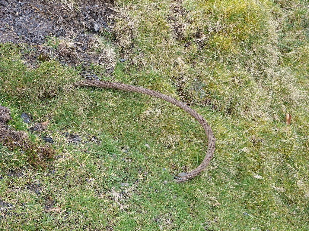
Wire hawser
|
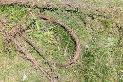
Wire hawser
|
Site of the headframe
|
Site of the headframe
|
The Upcast Shaft site
|
The Upcast Shaft site
|
The Upcast Shaft site
|
The Upcast Shaft site
|
The Upcast Shaft site
|
The Upcast Shaft site
|
The Upcast Shaft site
|
The Upcast Shaft site
|
The Upcast Shaft site
|
The Upcast Shaft site
|
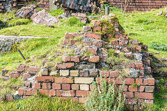
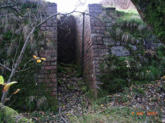
The first brick pillar
|
The first brick pillar
|
The second brick pillar
|
The second brick pillar
|
The long iron rod
|
The short iron rod
|
The short iron rod
|
The upcast shaft
|
The upcast shaft
|

A recess in the side wall
|
The large stone block
|
The large stone block
|
The large stone block
|
The large stone block
|
The large stone block
|
|
|
|

Upcast shaft
|
Upcast shaft
|
Upcast shaft old rail
|
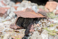
Upcast shaft old rail
|
Upcast shaft general view
|
Upcast shaft brickwork
|

Upcast shaft hawser
|
|
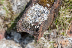
Ironmongery and foundations
|

Upcast shaft foundations
|
Foundations and an iron rod
|
Upcast shaft foundations
|
Upcast shaft foundations
|
Upcast shaft foundations
|
Upcast shaft foundations
|
Upcast shaft foundations
|

The other side of the shaft
|
The engine house and headgear
|

The winding drum incline
|
Reservoir tramway to drum
|

Hawser below reservoir tramway
|
Workings in the field below
|
The upcast shaft wreckage
|

The upcast shaft wreckage
|

The upcast shaft wreckage
|
The upcast shaft wreckage
|
The upcast shaft wreckage
|
The upcast shaft wreckage
|
The upcast shaft wreckage
|
The upcast shaft wreckage
|
|
|
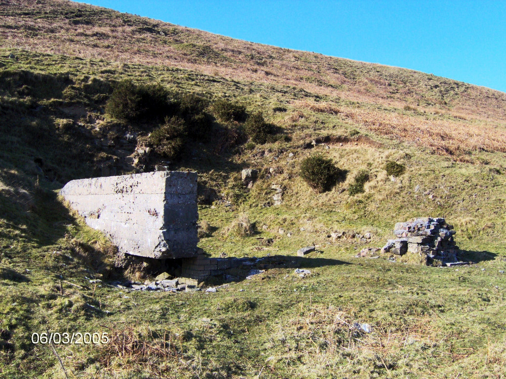
General views of the Upcast shaft site from 2005 and 2007

The site of the engine house
|

The site of the shaft
|
A general view of the site
|
The site from the tramway end
|
A general view of the site
|
A general view of the site
|
A general view of the site
|
A general view of the site
|
A general view of the site
|
A general view of the site
|

The site of the engine house
|
The site of the engine house
|
The upcast shaft wreckage
|
The upcast shaft wreckage
|
The upcast shaft wreckage
|
|
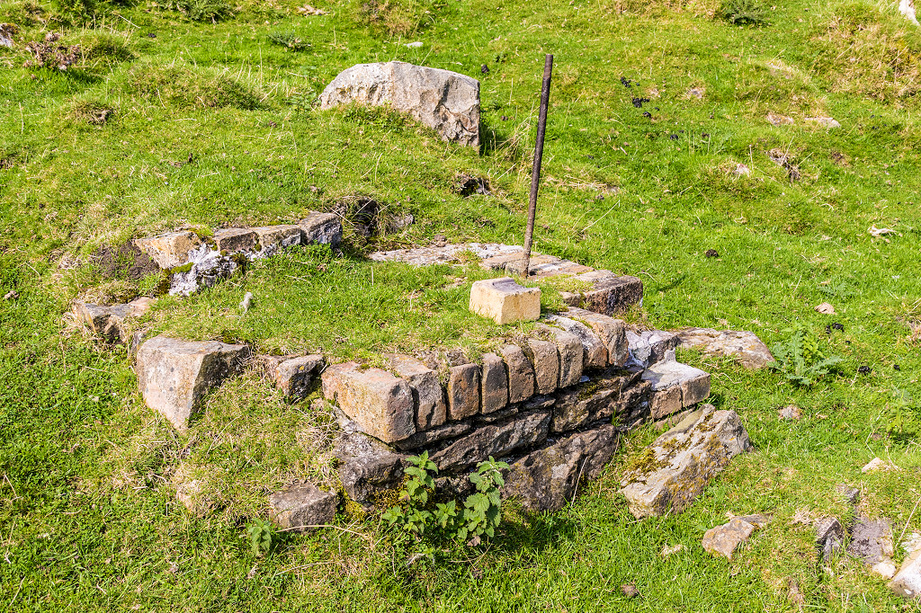
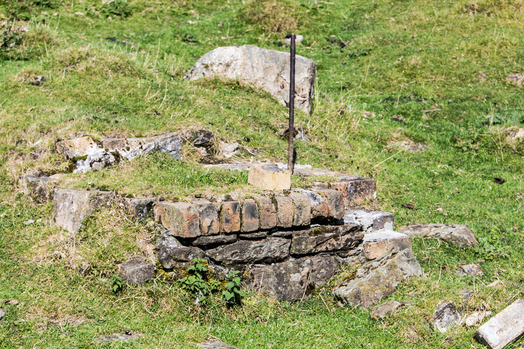
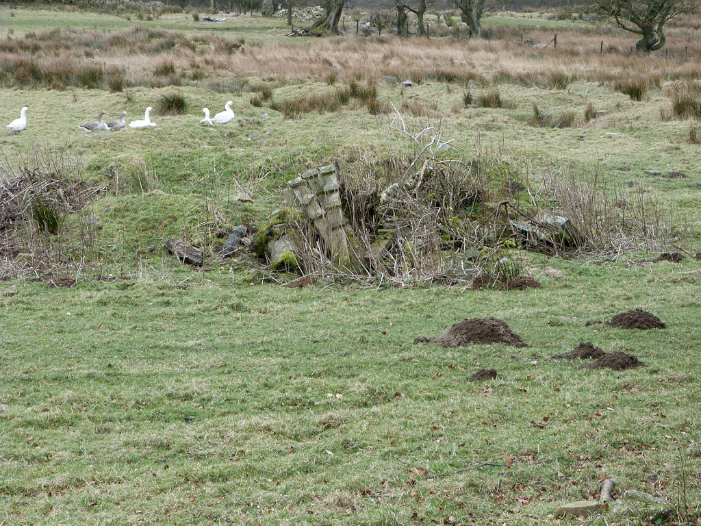
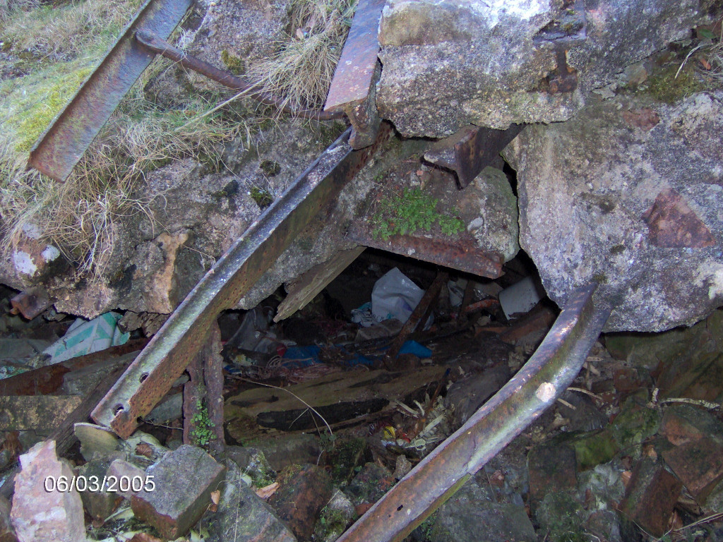
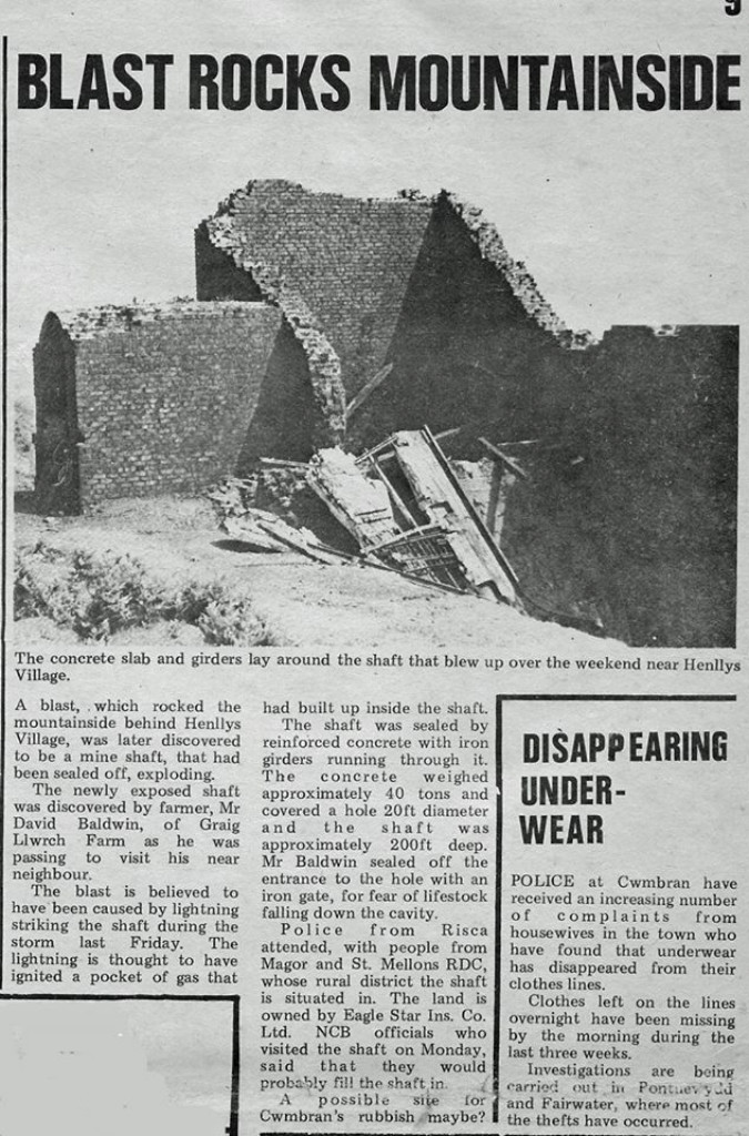
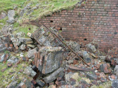
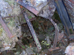
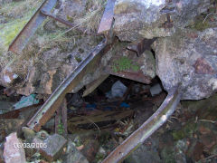
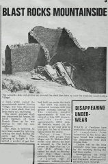
A strange incident in 1970
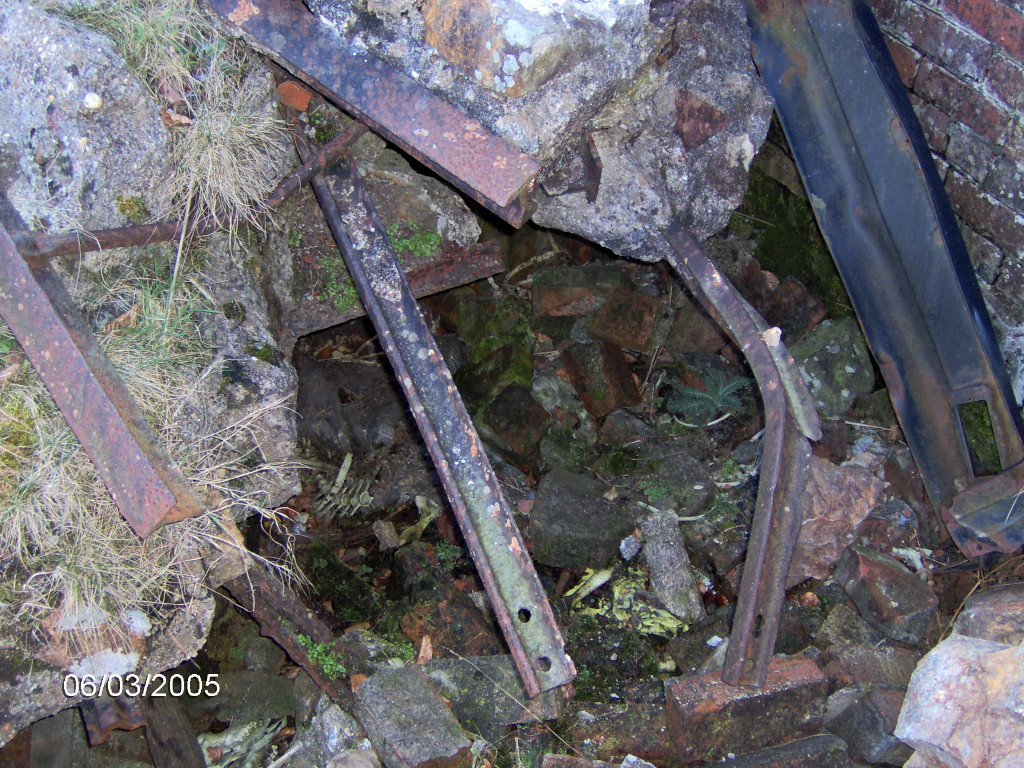
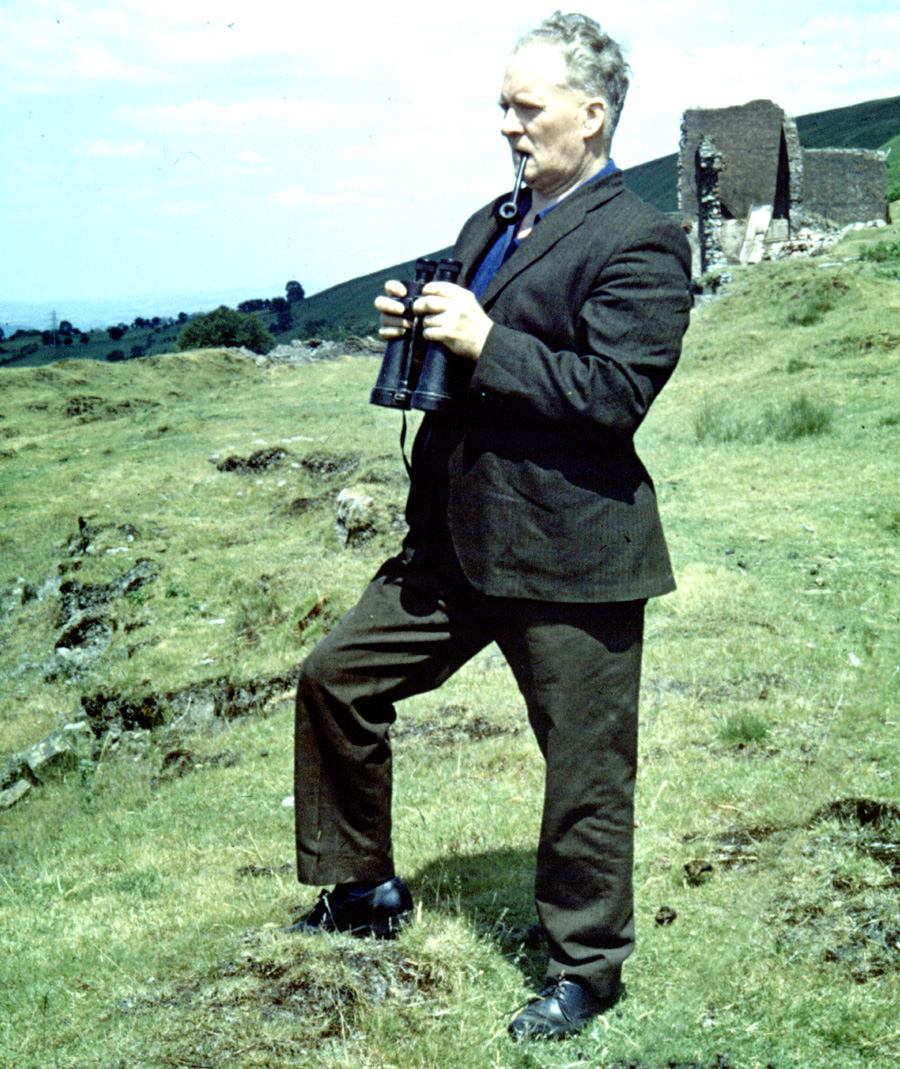
As reported in the 'Cwmbran Voice', the sealed upcast shaft went off with a bang on 19th June 1970. The diameter of the shaft is rather exaggerated in the report, I think it's more like 12 - 15 ft, I really ought to measure it properly one day. It seems they demolished the brickwork when they filled the shaft, you can see what was there behind Ray Skuse. Thanks to Sean O'Dobhain for the cutting and Lawrence Skuse for the photo.
A strange incident in 1970
|

Ray Skuse at the upcast shaft
|
|
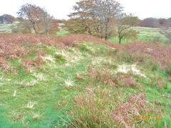
Henllys Colliery Reservoirs, Quarries etc.
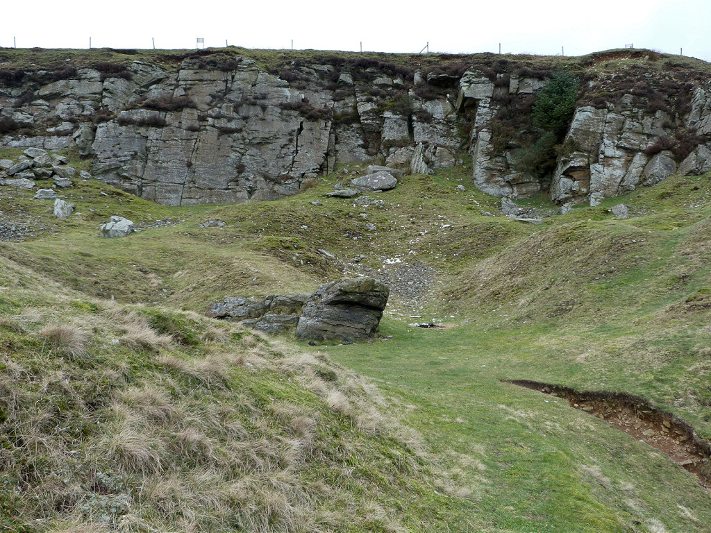
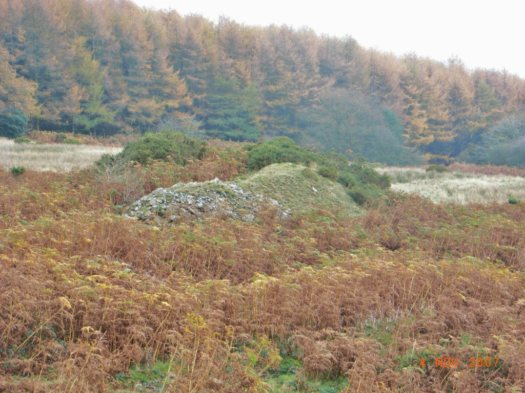
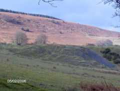
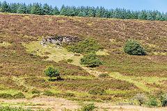
Large quarry - ST 2563 9443
The route of the incline is obvious as it leaves the colliery precincts and runs up the hillside to the large quarry. Apparently some stone from the quarry was donated for the building of the chapel at Two Locks.
The large quarry
|

The large quarry and its incline
|

The large quarry and its incline
|

Looking down the quarry incline
|
Rail on the quarry incline
|
The large quarry
|

The large quarry
|
The large quarry
|
Small quarry - ST 2576 9468
Quarry workings - ST 2601 9513
The small quarry and incline to upcast tramway. Look for the stonework where the incline crosses the track. A leat or track from the small quarry lead to some minor diggings to the North, a quarry or water source perhaps.
The small quarry
|

Small quarry
|
Small quarry incline
|
Small quarry incline
|

The small quarry and incline
|
Incline down from halfway
|
Incline down from halfway
|
Incline up from halfway
|

Incline up from halfway
|
Small quarry incline top
|

Northern workings leat
|
Northern workings leat
|
Northern workings leat
|
Northern workings
|

Northern workings
|
|
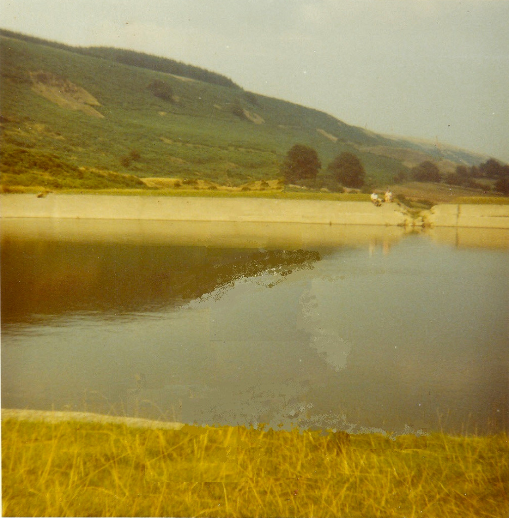
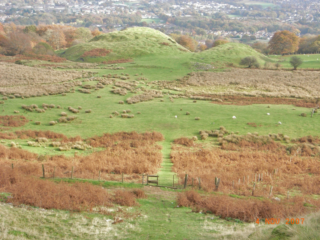
Upper reservoir - ST 2595 9493
The upper reservoir was divided into two sections with the outlet sluice at the Sourthern end. The leat leads down to the stonework on the small quarry incline and, I guess, from there to the lower reservoir.
The upper reservoir
|
Upper reservoir
|
Upper reservoir buttress
|
Upper reservoir
|
Upper reservoir
|
Upper reservoir
|
Upper reservoir
|

Upper reservoir
|
Upper reservoir outlet sluice
|
The upper reservoir leat
|

The upper reservoir leat
|
Upper reservoir leat
|
Upper reservoir leat
|
Upper reservoir leat
|

Upper reservoir leat
|

Upper reservoir leat
|
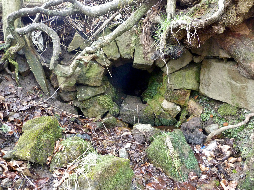
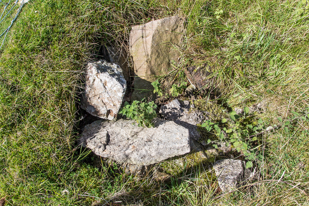
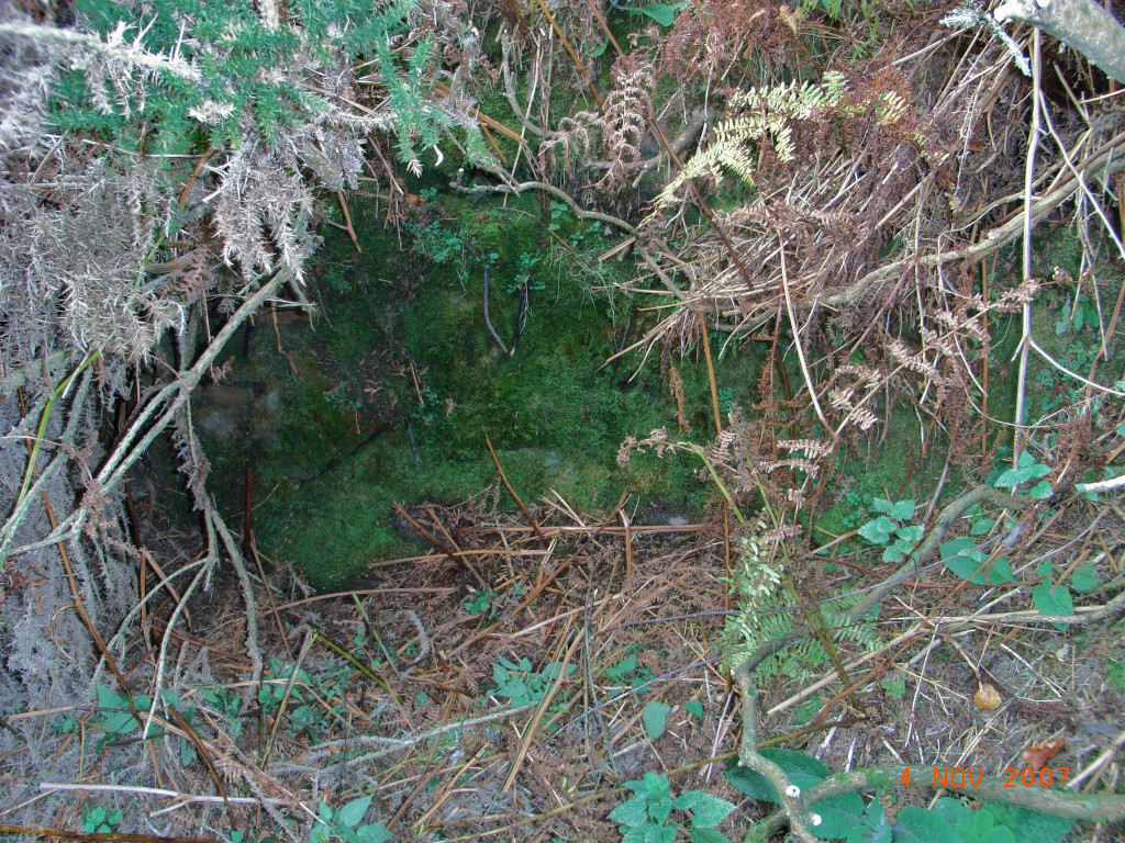
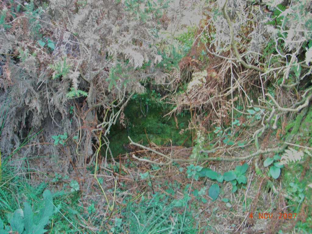
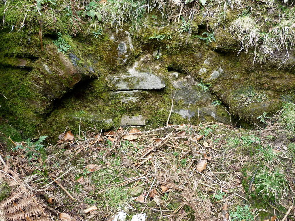
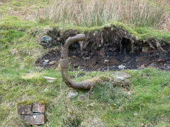
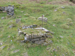
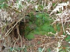
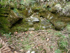
Spring (possibly an old level) - ST 2575 9458
A small sealed stone-arched water source with a cast-iron pipe leading downhill towards the lower reservoir but seems unlikely to have been a level, it's only about 2ft x 3ft....
Water level above main adit
|

Water level above main adit
|

Water level above main adit
|
Water level above main adit
|
Water level above main adit
|
Water level above main adit
|
Water level above main adit
|

Water level above main adit
|
Water level leat
|
|
|
|
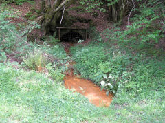
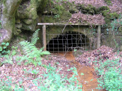
Henllys Colliery drainage level, Cwmcarn - ST 2495 9640
A well-built stone drainage level sits beside the Cwmcarn Scenic Drive issuing very rusty coloured water into the Nant Carn. If you drive here, you'll have to pay! A level appears to have been opened here by 1879 as a free-standing venture but by 1900 there seems little doubt it connected with Henllys Colliery, Cwmbran, and was used as a drainage level. A steady stream of orange water shows it's still connected with the old workings. Next door is a small quarry probably used for the level's construction. This level is probably responsible for the story of a walkable connection between Cwmcarn and Henllys. There was certainly a borehole from Cwmcarn into the Henllys workings to relieve the water pressure but no more than that - unless you know otherwise...
Henllys Colliery drainage level
|
Henllys Colliery drainage level
|
Henllys Colliery drainage level
|
Henllys Colliery drainage level
|
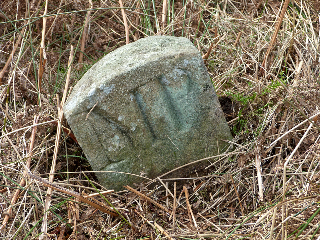
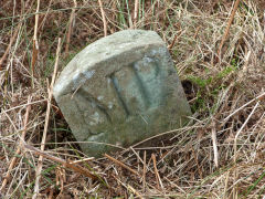
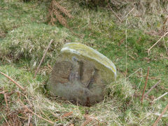
Boundary stones - ST 2509 9518
The original, rather overgrown track (not the current one) up the hillside to the ridge is lined by boundary stones.
'MP' boundary stones
|
On the other side, just an 'M'
|
|
Levels to the South-West - ST 2544 9383
Four small levels and their tips here are the Southern-most coalworkings in the Eastern Valleys.
Levels South-West of main adit
|
Levels South-West of main adit
|
Levels South-West of main adit
|

Levels South-West of main adit
|
Levels South-West of main adit
|
|
Sudden appearance of hole at Twmbarlwm! - ST 2475 9305
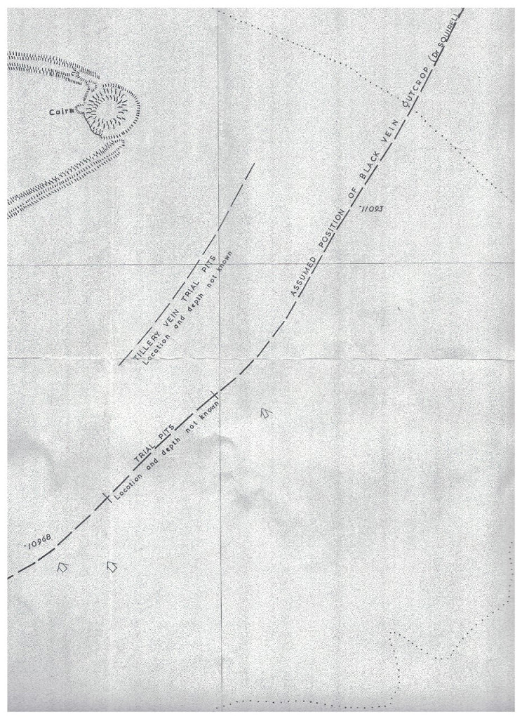
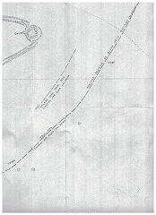
In 2012 the Coal Authority fenced off a hole at ST 2475 9305, right on the ridge not too far from Twmbarlwm twmp but seemingly nowhere near a coalmine or workings! Ray Lawrence has provided a likely answer with his plan showing where the Black Vein and Tillery seams are believed to outcrop. It looks as if this may well have been a trial pit at some time.

Collapse near Twmbarlwm
|
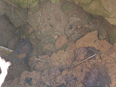
Collapse near Twmbarlwm
|
Outcrops at Twmbarlwm Twmp
|
|
Acknowledgments, sources and further reading.
Thanks for addition information to :- Melvyn and L. J. Davies, Dennis Hopkins, John Jenkins, Ray Lawrence, Sean O'Dobhain, John Saunders, Lawrence Skuse, The South Wales Argus and the defunct cwmbran.info website.
There's a lot of info on :-
The Henllys Village website
A Guide to the Website
Industrial Wales
Collieries, Ironworks, Quarries, Railways, Canals, Tramroads, Tunnels, Culverts and so much more....
|
Brickworks of Wales
Bricks are 'History with a label' so here's the story of the Brickworks of Wales - photos, maps and the products themselves
|
Around the World
My travels around the UK and the Whole Wide World in search of industries, railways, trams and mines to name a few.
|
Boundary Stones and Mileposts
Boundary Stones, Mileposts and other markers in simple alphabetical order of their initials, name or site.
|
Ships and Shipping
Ships around the World in simple alphabetical order of their name (or apparent area if I can't read the name).

|
The Site Map and Index
A full list of all the pages of the whole website in just one place, so you should find exactly what you are looking for.
|
About the Site
The background and technical details about the site, plus a contact page and links to other sites - and a warning !!
|
Contact Me
Something to add? A great photo? Something wrong? or need to know more about things? Just drop me a line here.

|
Further Reading
You can find lots of local and other very helpful websites, books, magazines and Facebook groups all listed here.
|
All rights reserved - Phil Jenkins