Industrial Wales - Monmouthshire's Eastern Valley
Blaenavon - West of the Afon Lwyd
From Forgeside to Waunavon via Coity and Mifraen
Search the site here
|
|
Industrial Wales - Monmouthshire's Eastern Valley
Blaenavon - West of the Afon Lwyd
From Forgeside to Waunavon via Coity and Mifraen
|
Search the site here
|
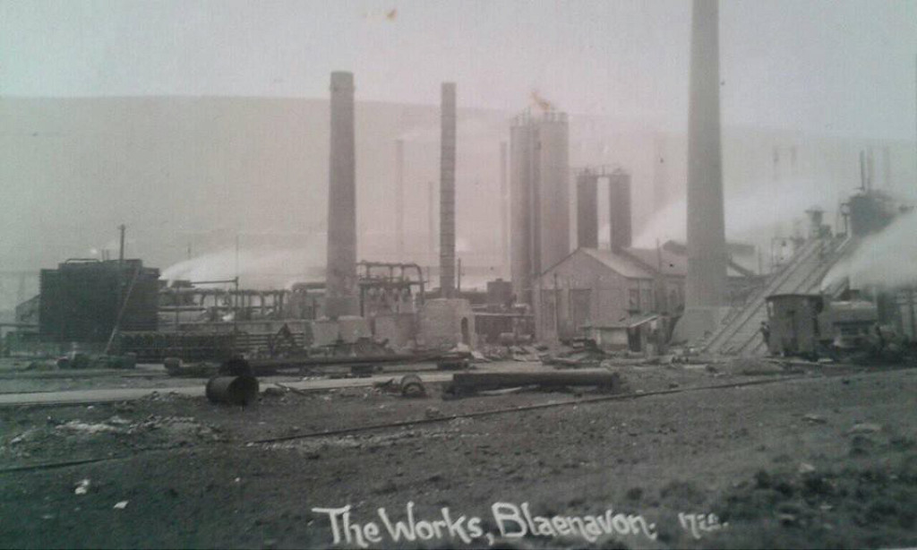
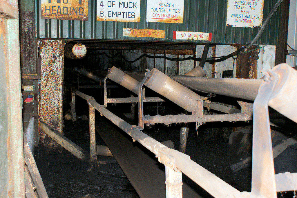
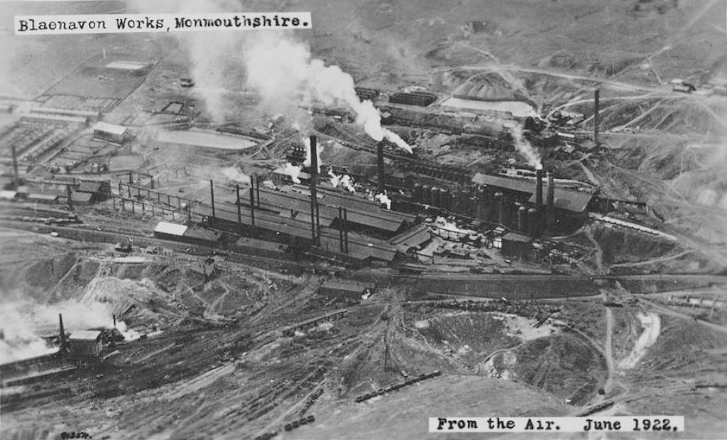 Forgeside Ironworks, 1922 |
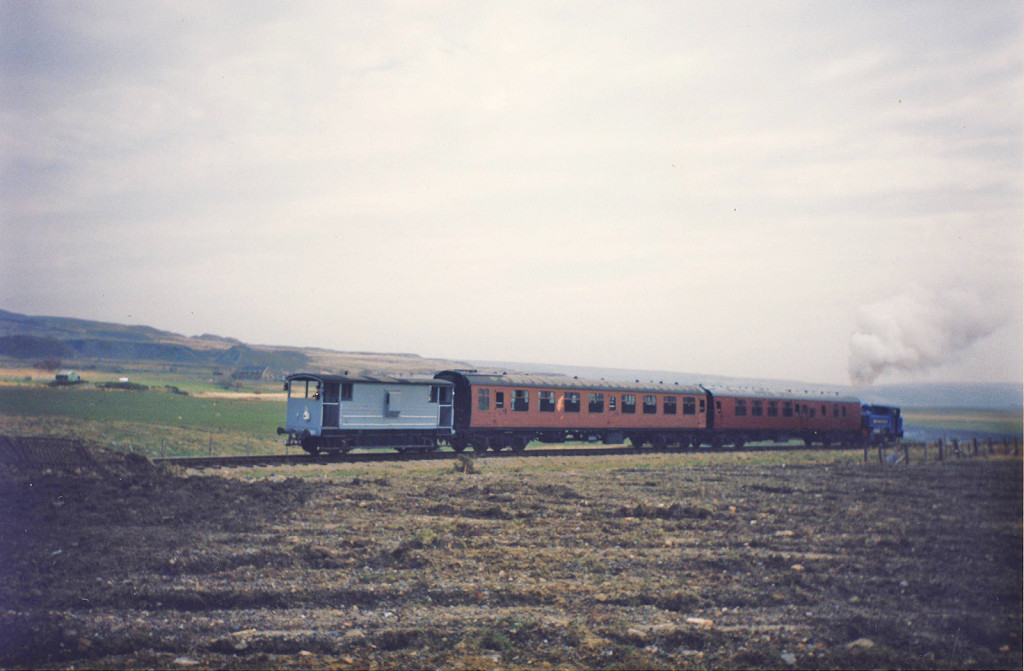
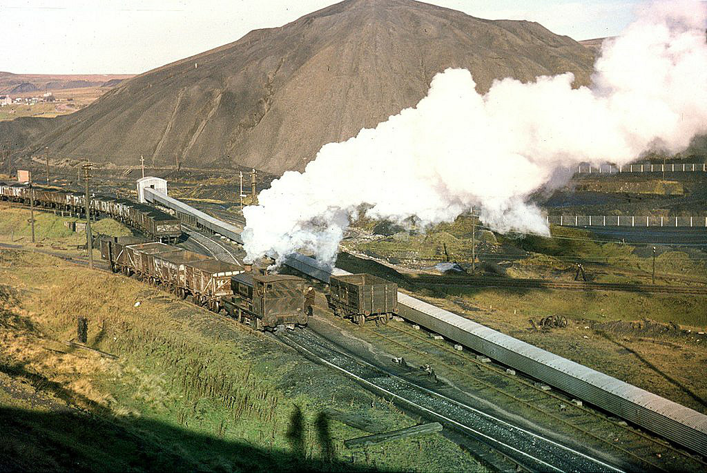
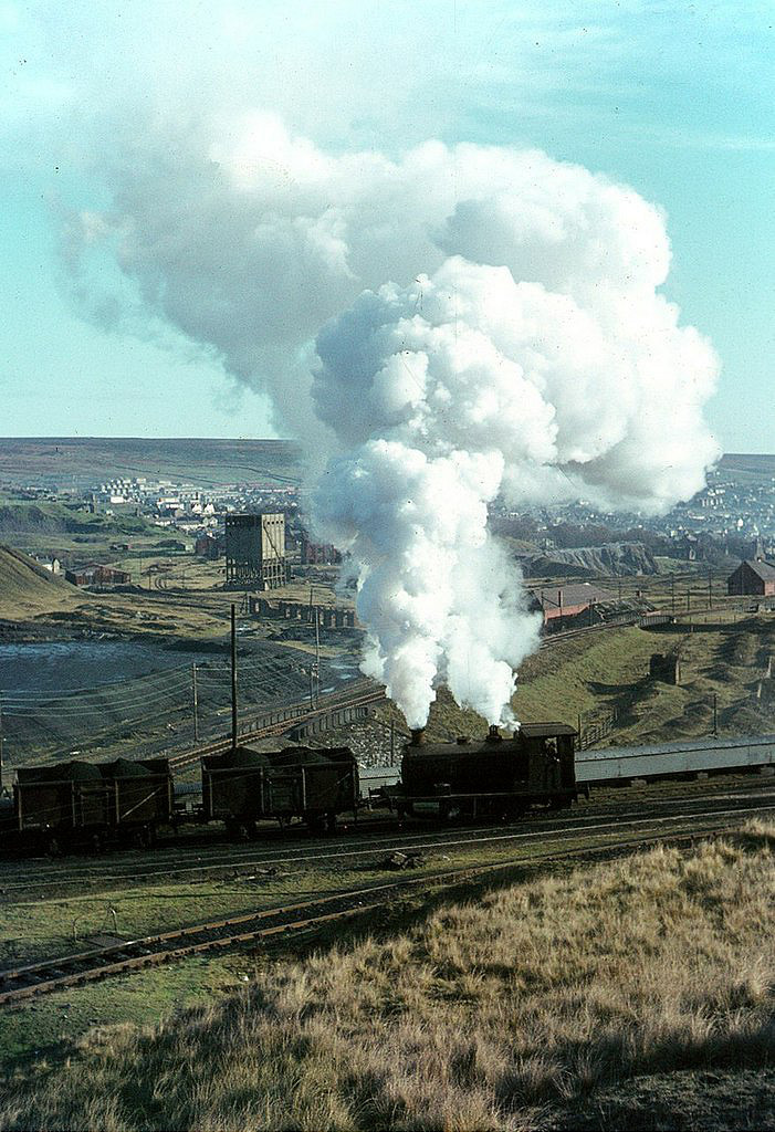
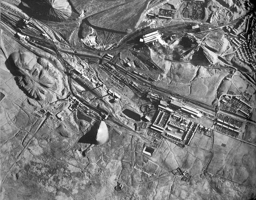 Forgeside and Big Pit, c1950 |
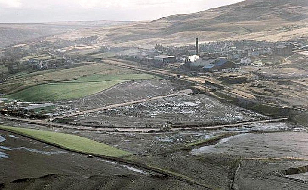 Forgeside Ironworks, c1960 |
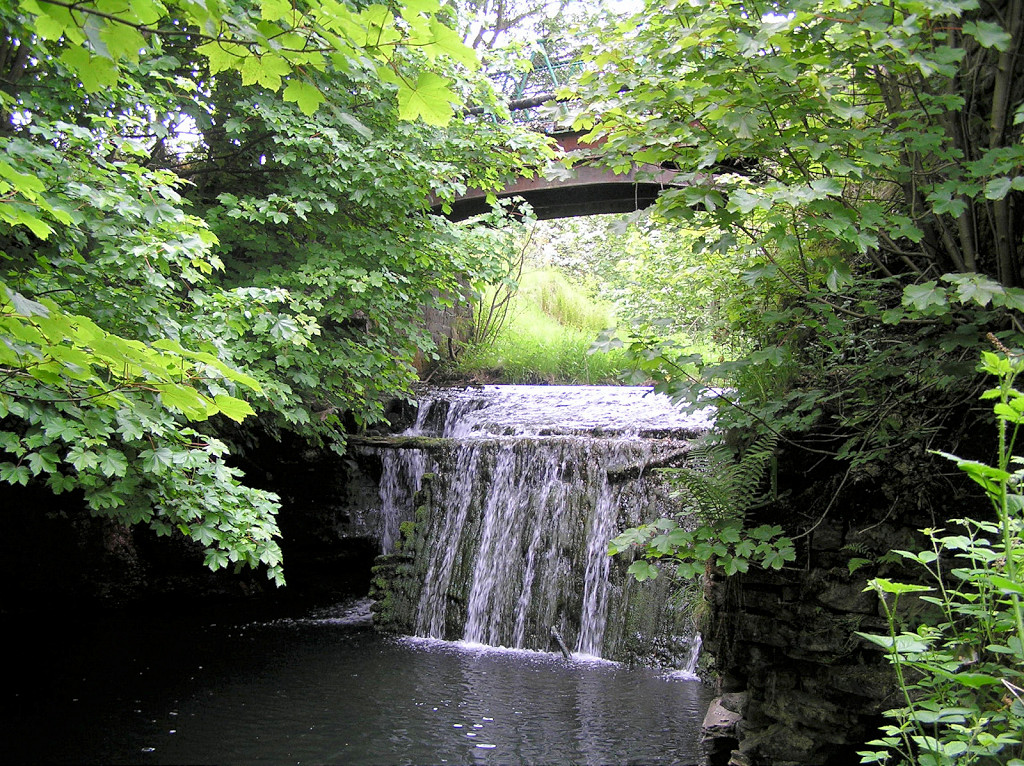
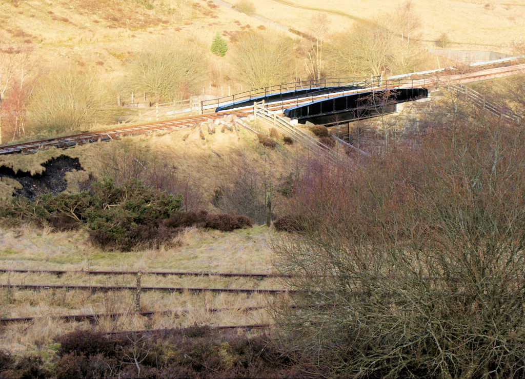
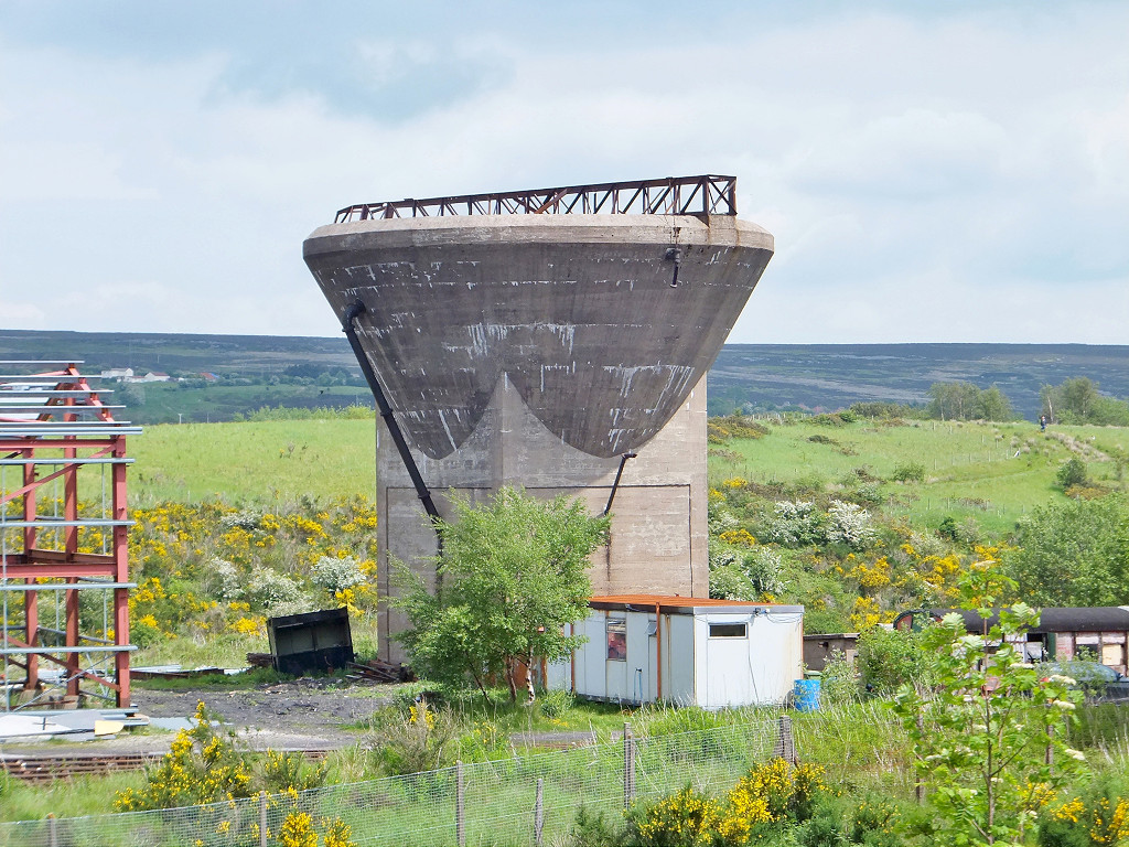
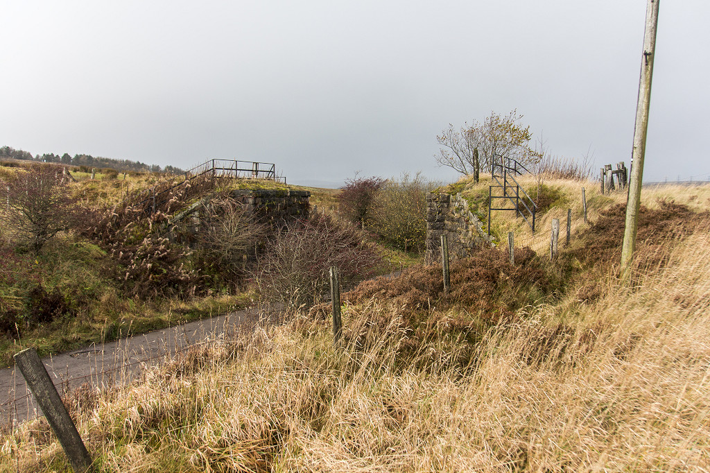
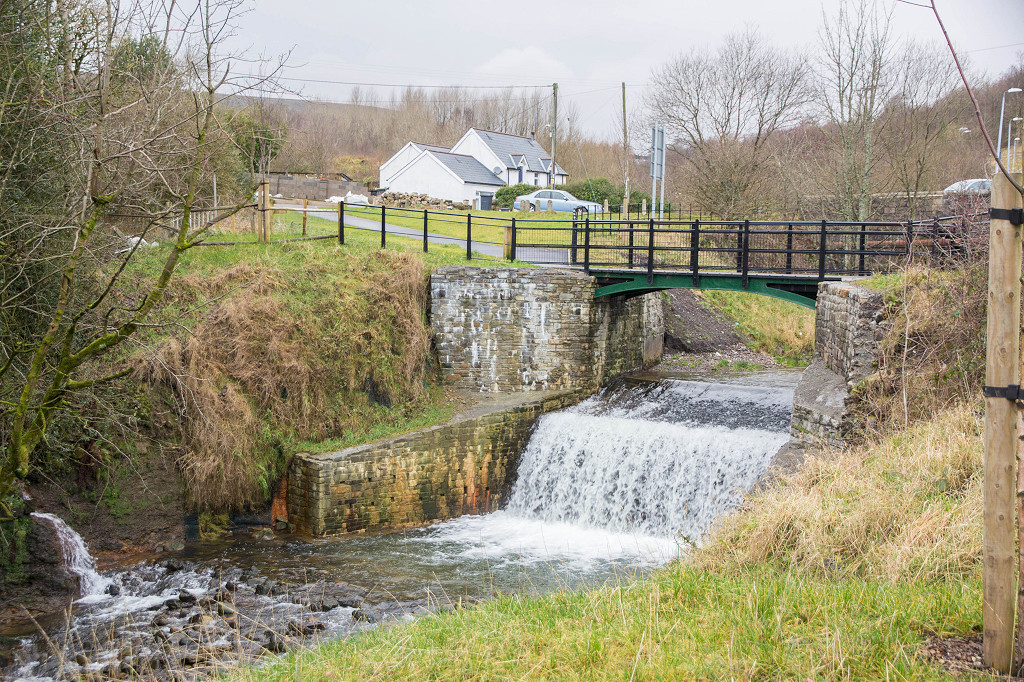 Aaron Brutes bridge restored |
 Aaron Brutes bridge restored |
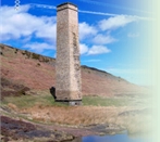
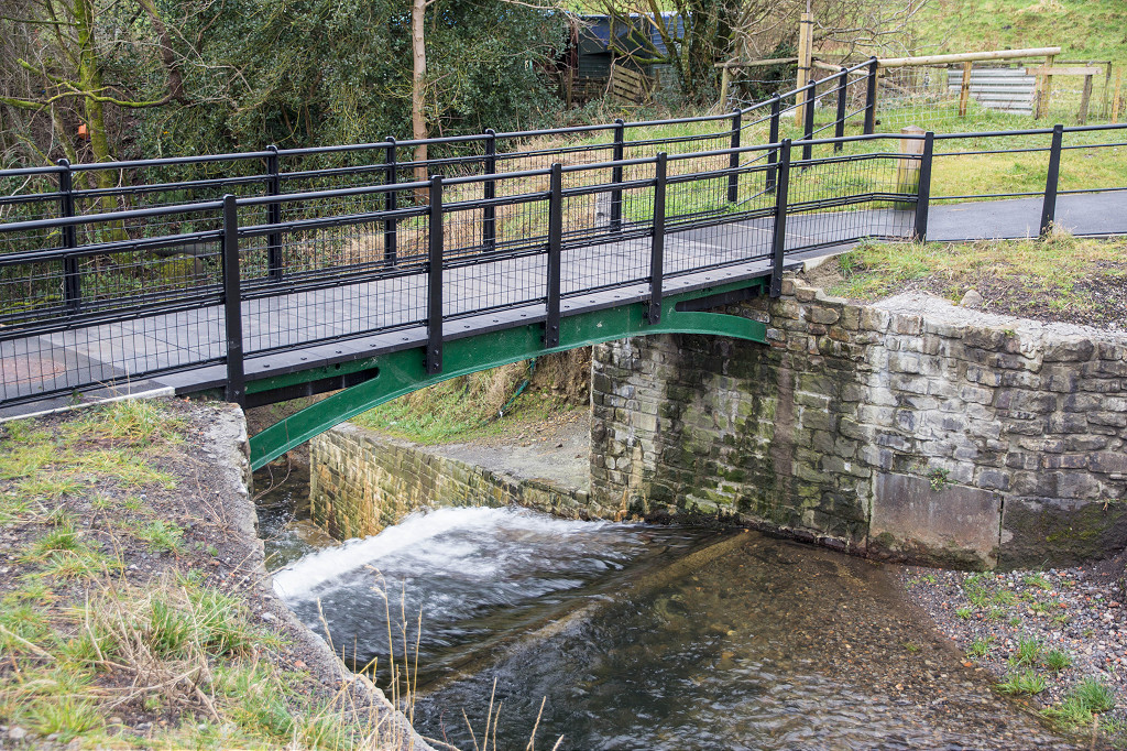
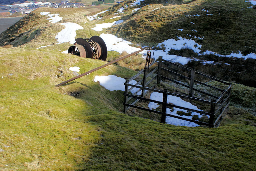
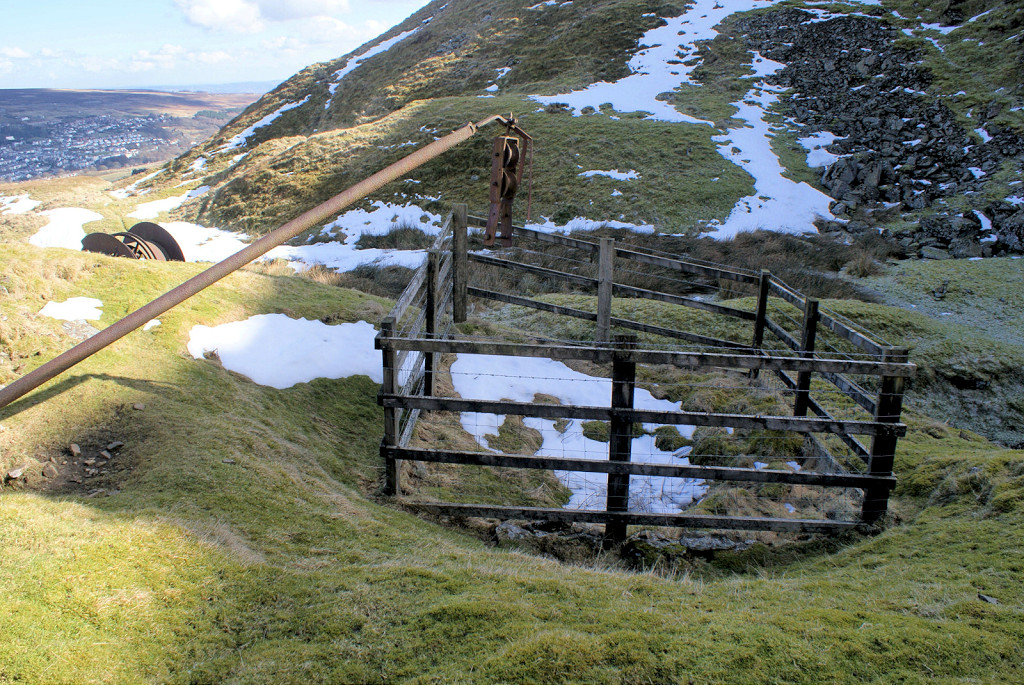
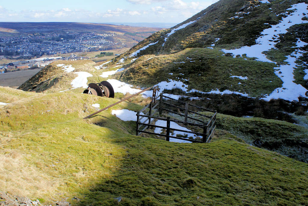
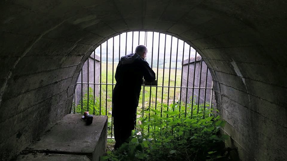
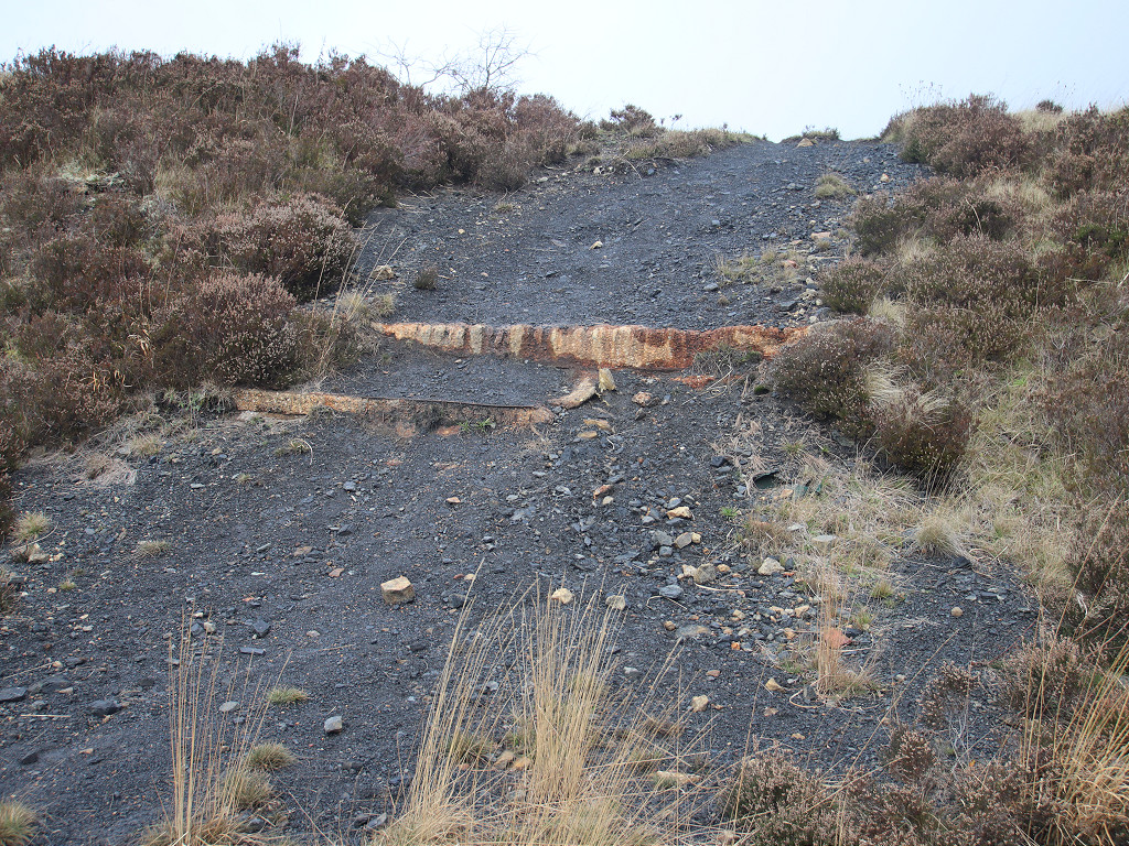
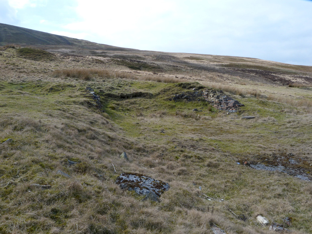
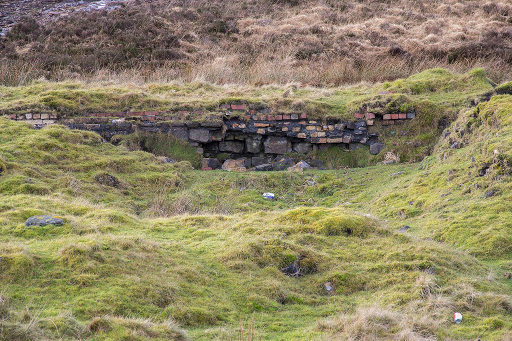
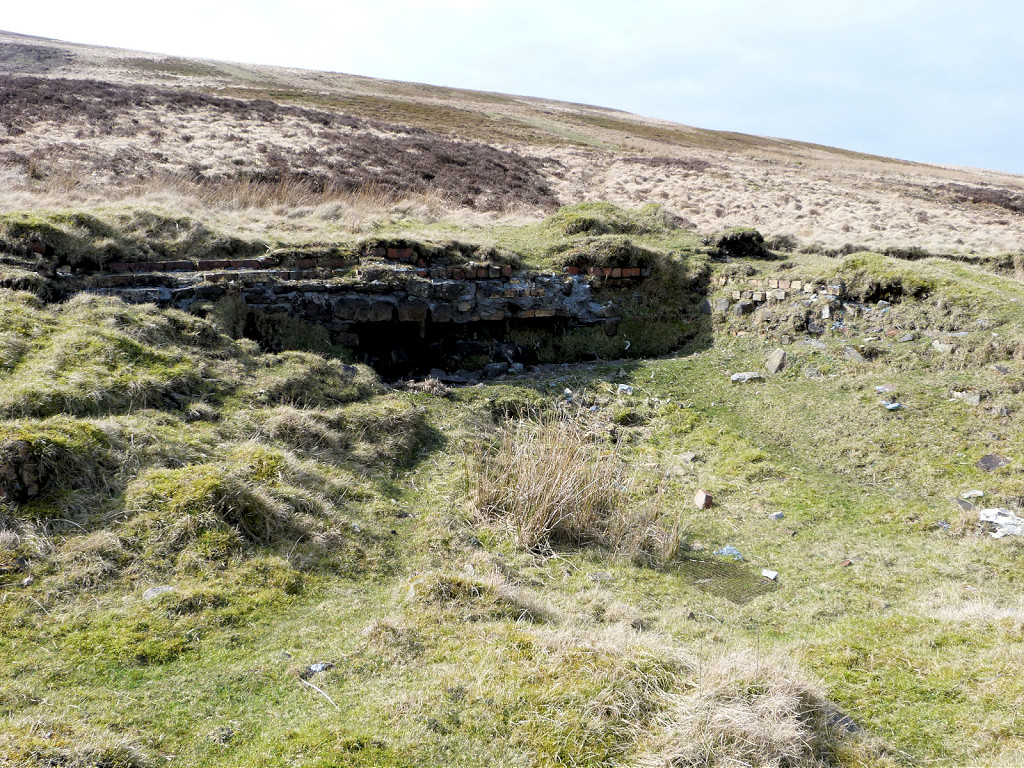
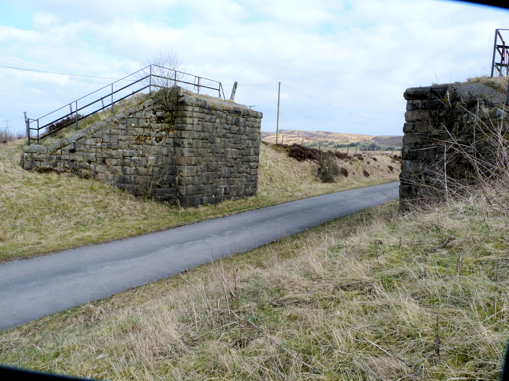
 Aaron Brute's Bridge |
 Aaron Brute's Bridge |
 Aaron Brute's Bridge |
 Aaron Brute's Bridge |
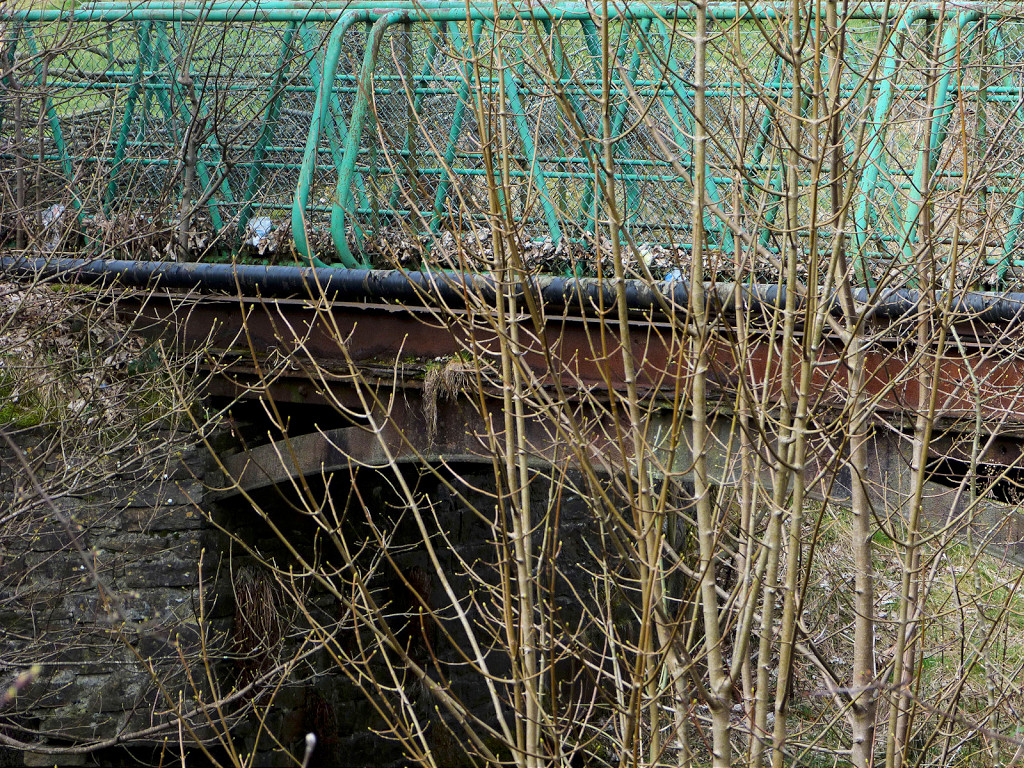 Aaron Brute's Bridge |
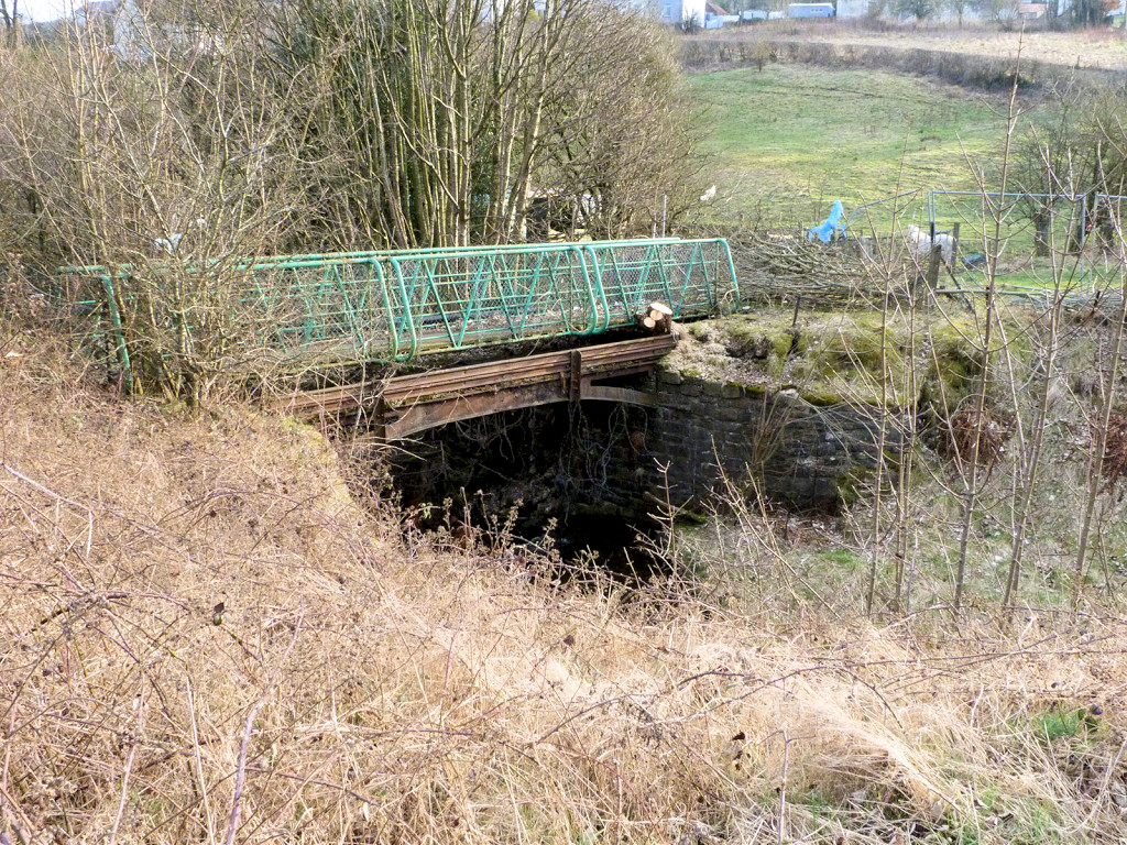 Aaron Brute's Bridge |
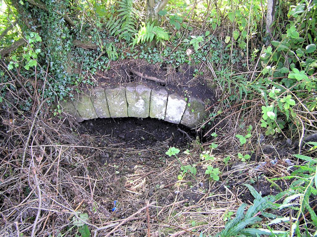
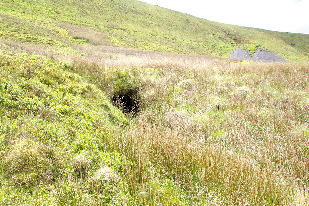
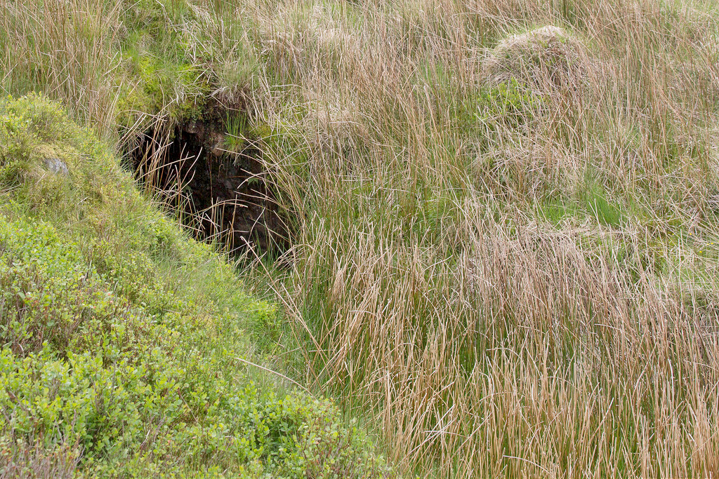
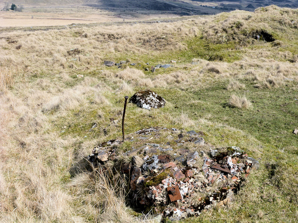
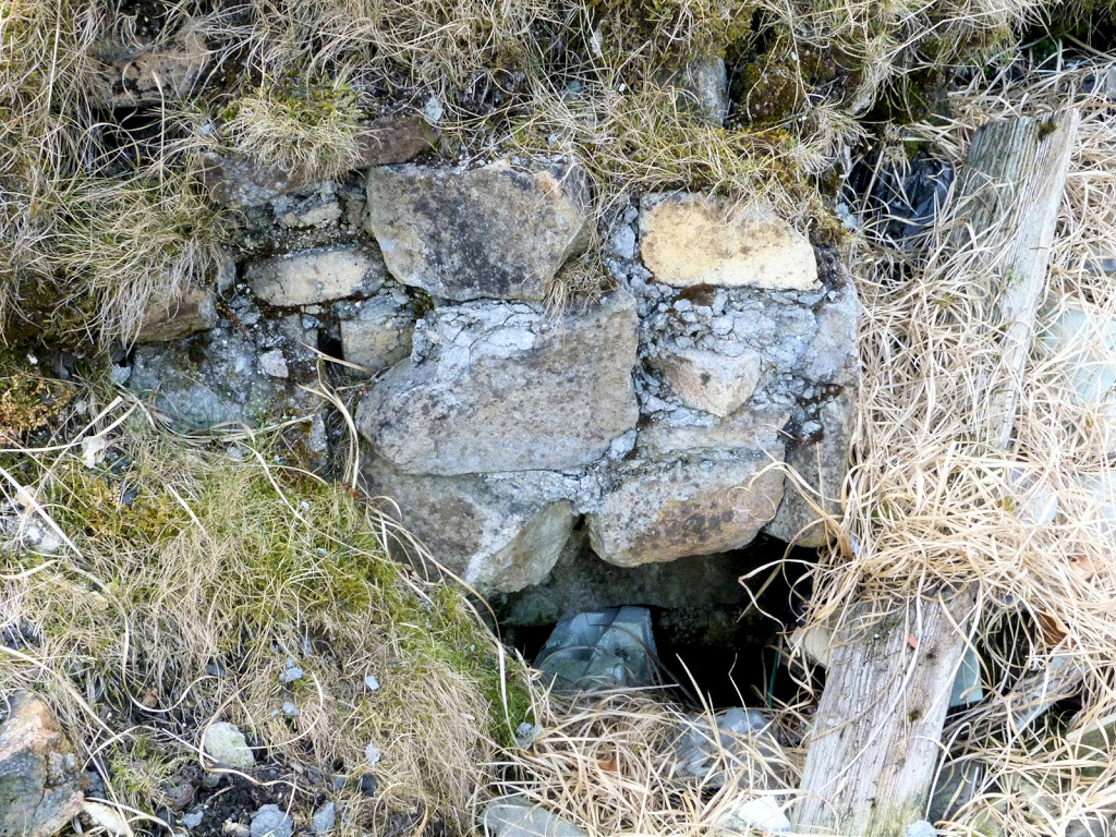
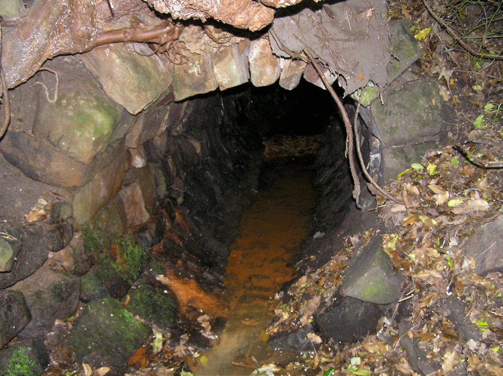 Aaron Brute's drainage adit |
 Aaron Brute's drainage level |
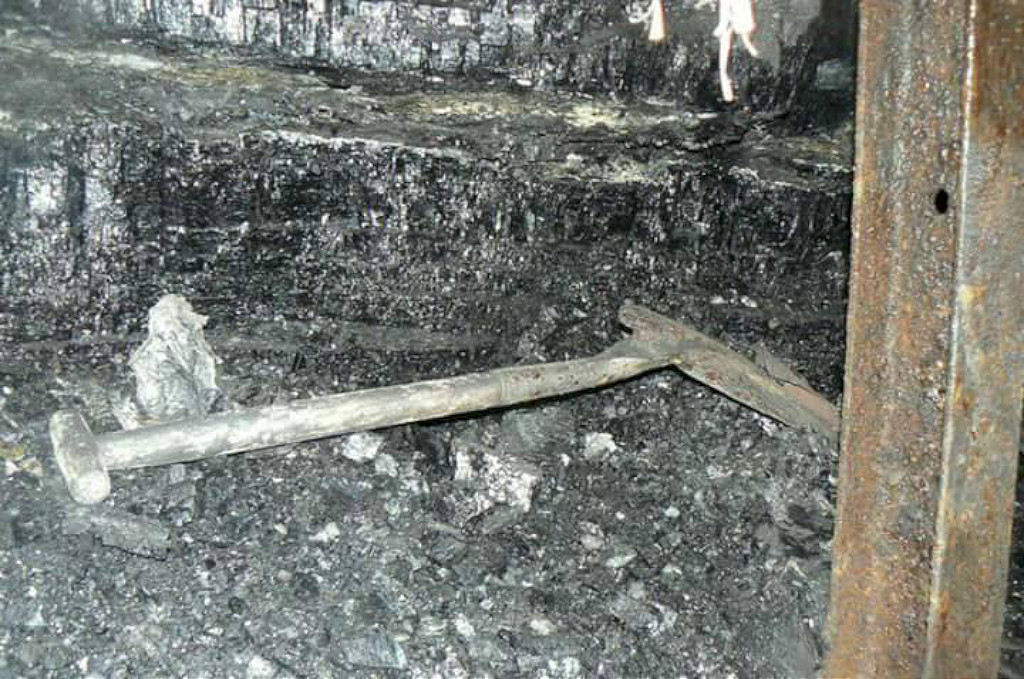
 Aaron Brutes ironstone level |
 Aaron Brutes ironstone level |
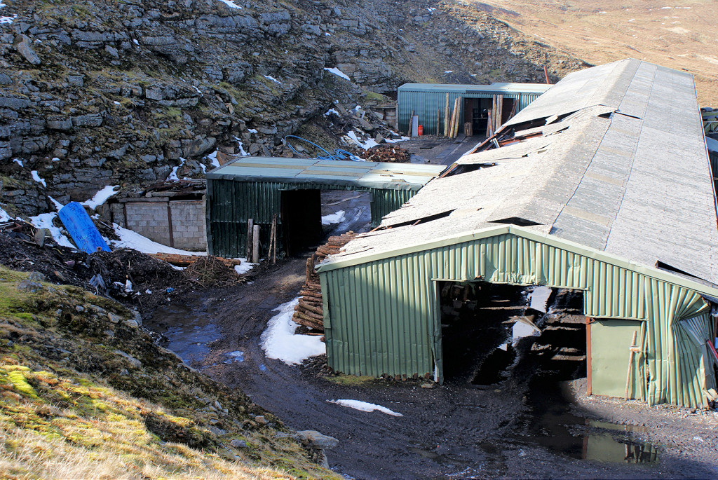
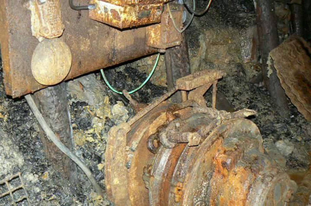
 Johnsons Mine, Forgeside |
 Johnsons Mine, Forgeside |
 Johnsons Mine, Forgeside |
 Johnsons Mine, Forgeside |
 Building at Johnson's Mine |
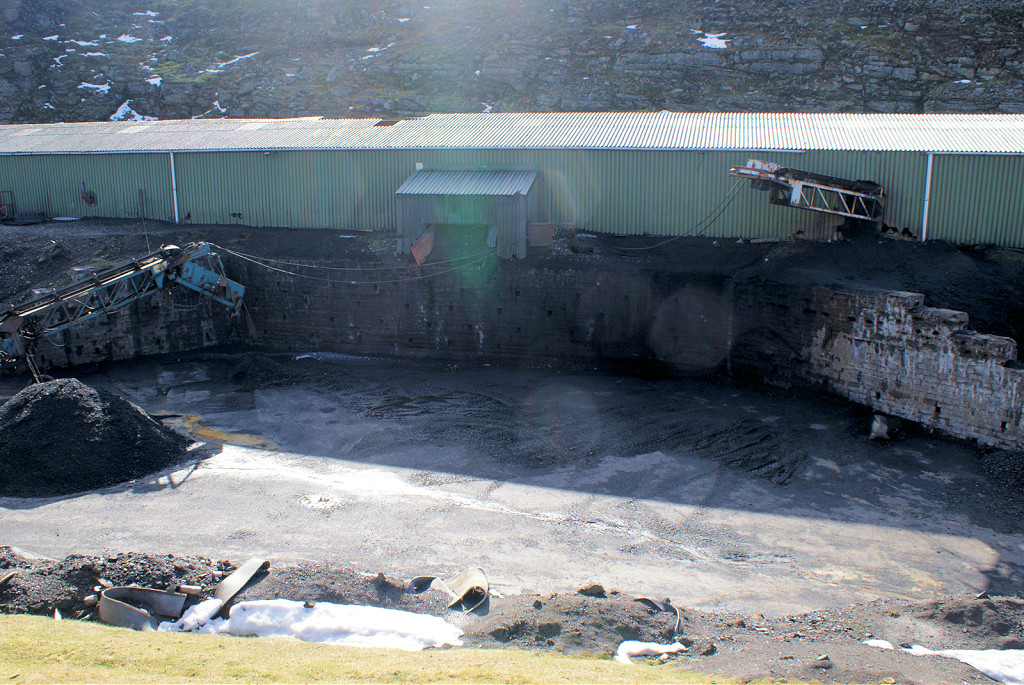
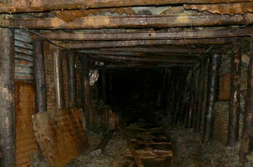
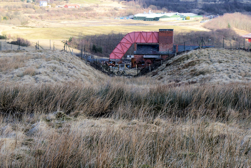
 Forgeside Level, Blaenavon |
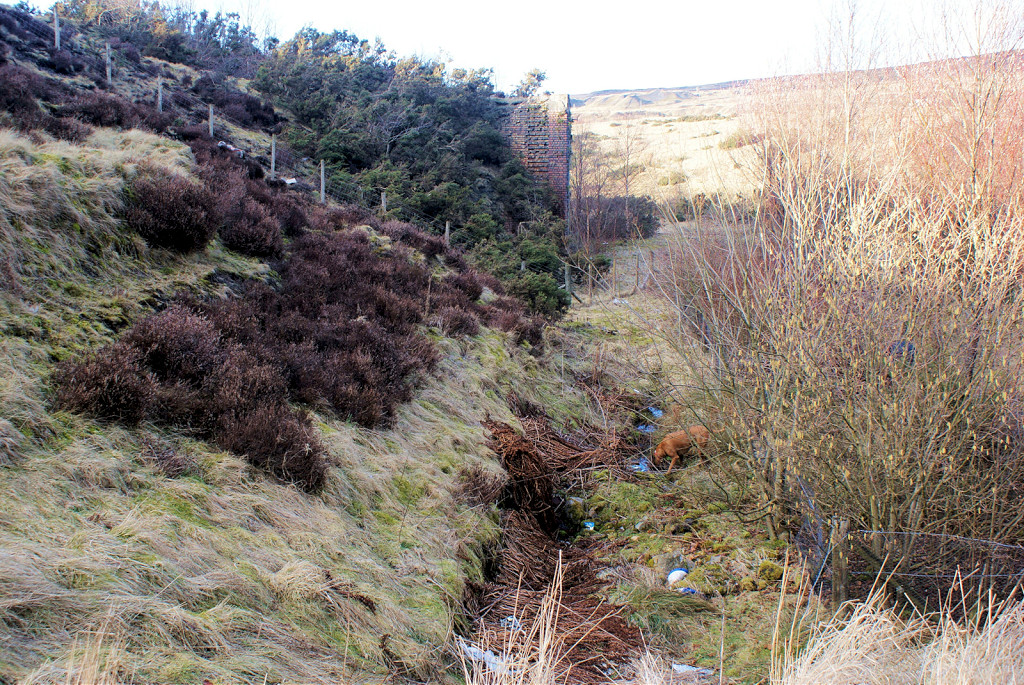
 Forgeside Level drainage channel |
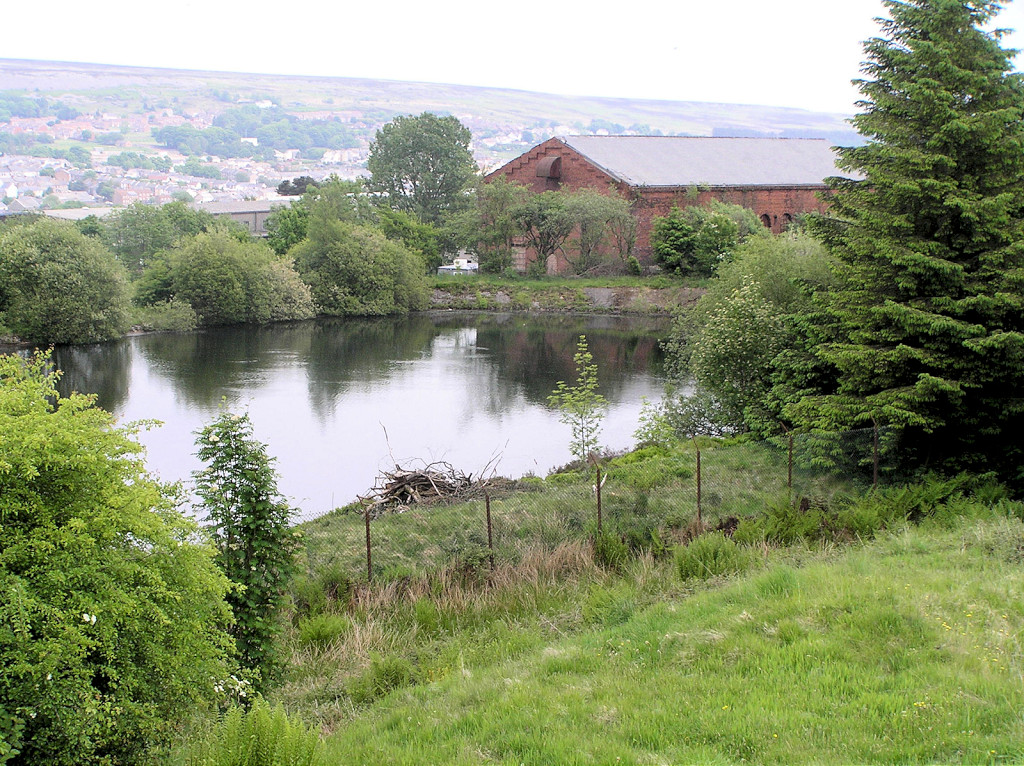
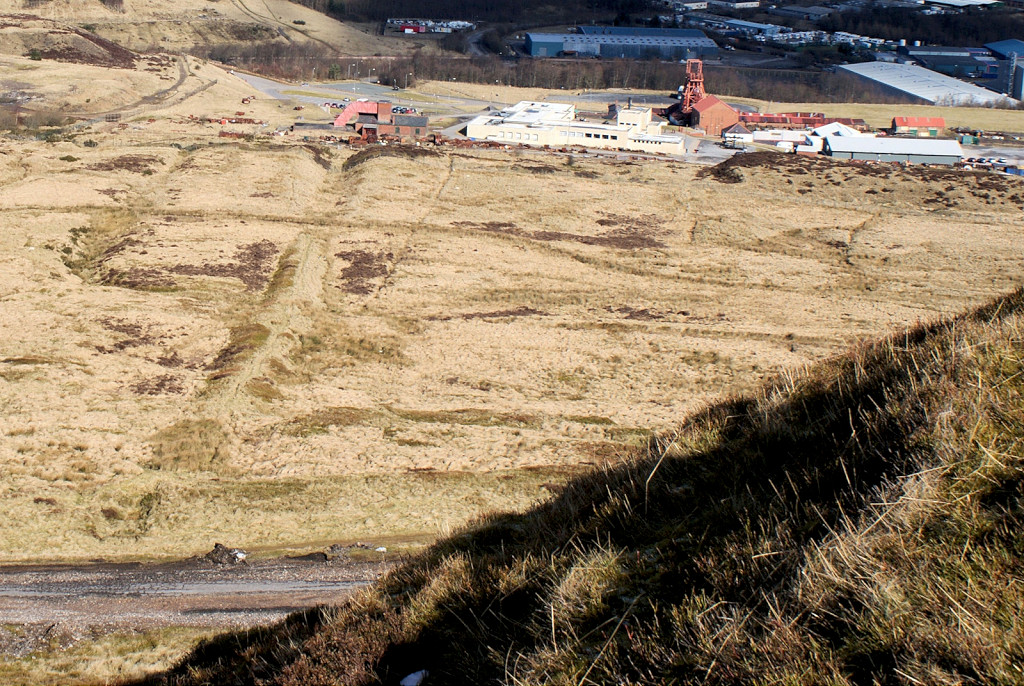
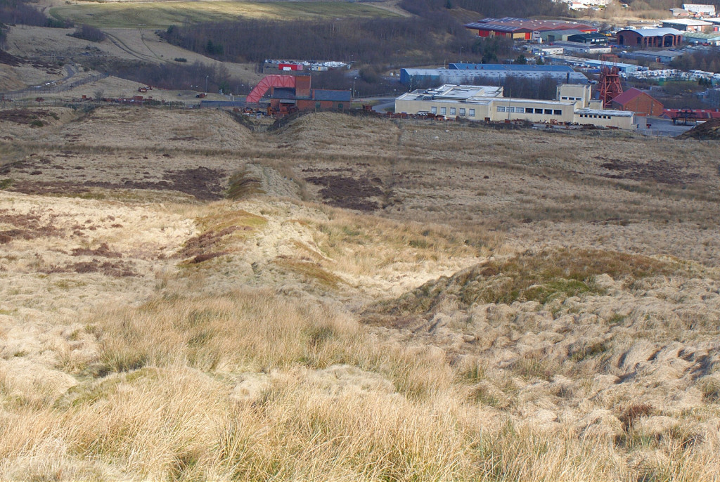
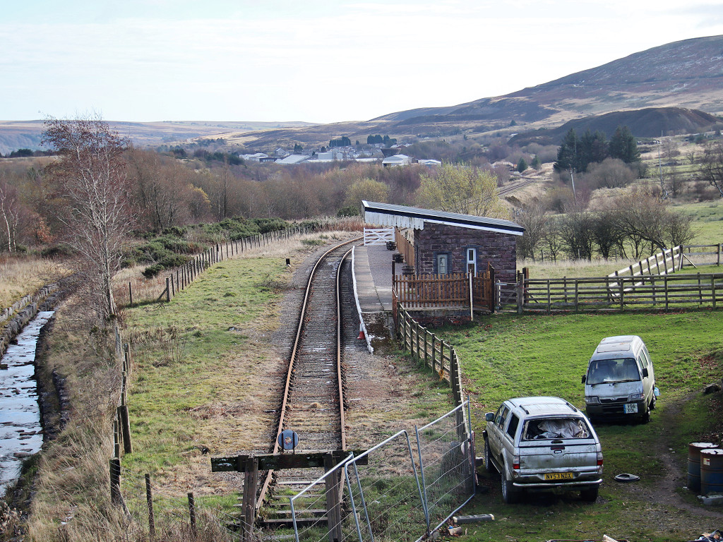
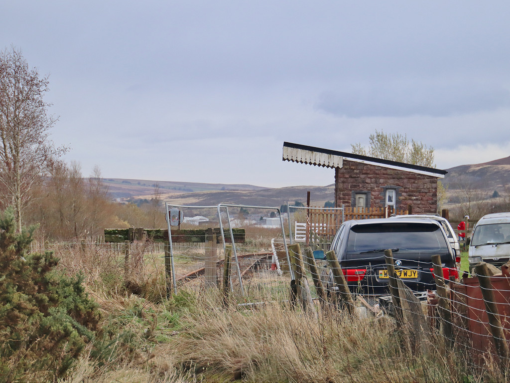
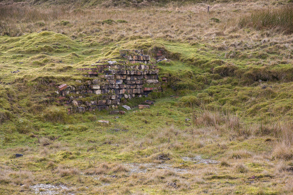
 Forgeside North, Blaenavon |
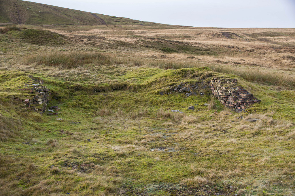
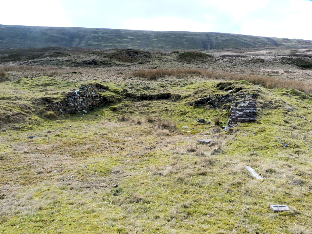
 Forgeside South, Blaenavon |
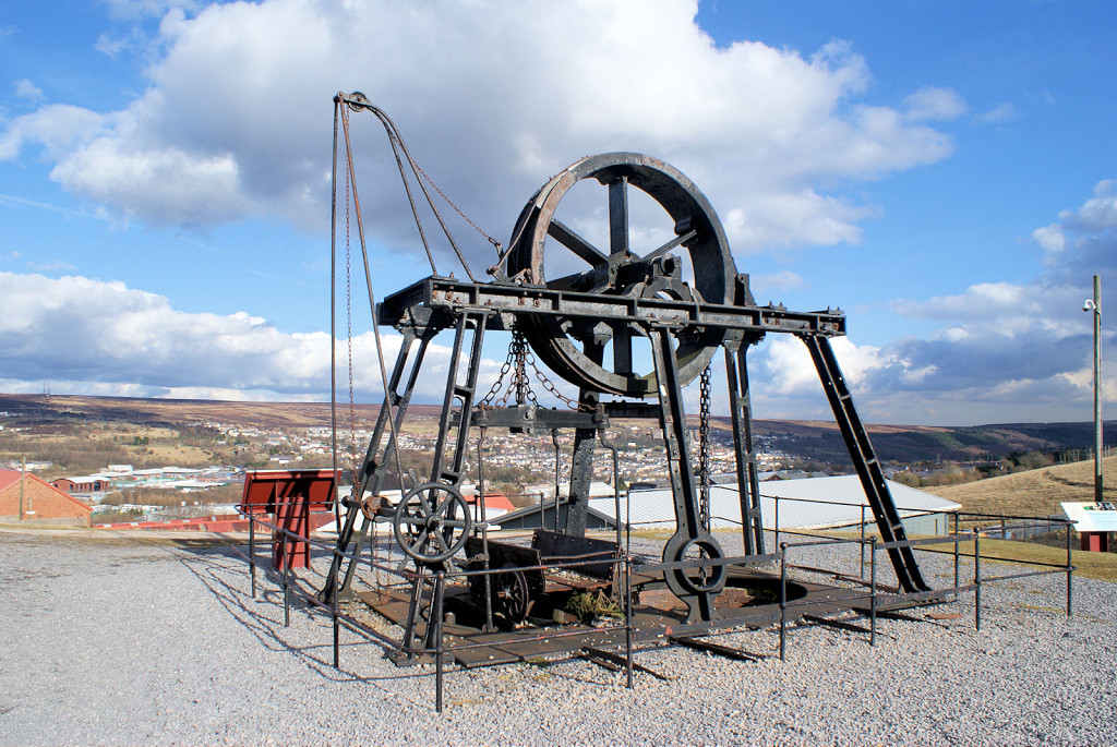
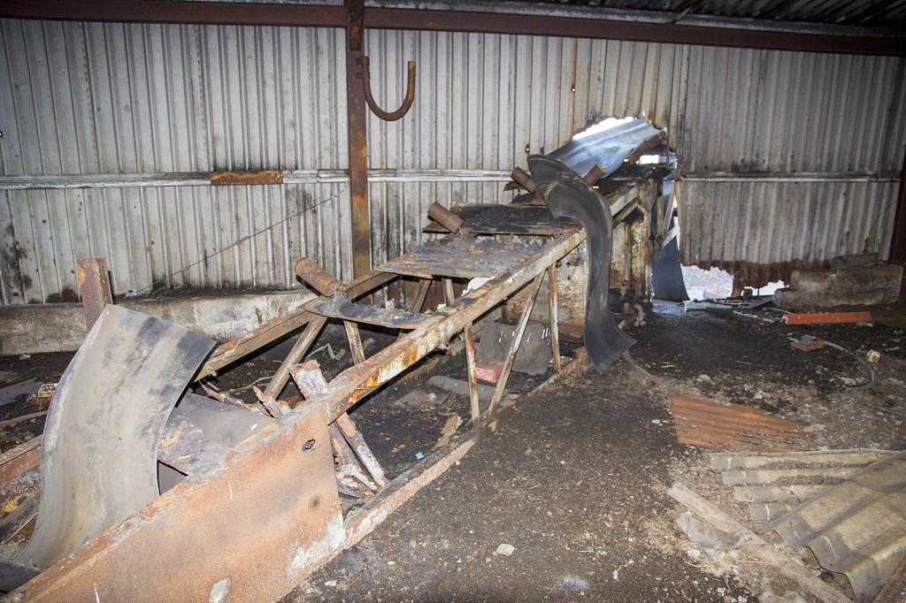
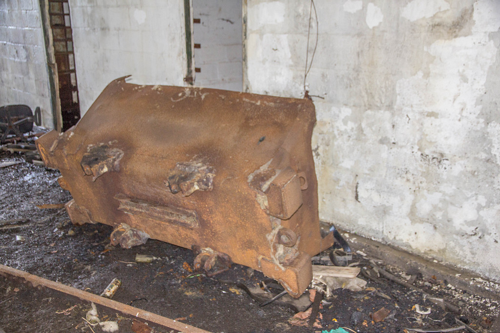
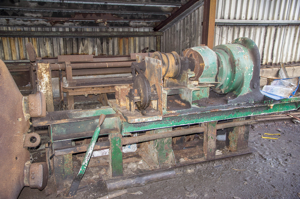
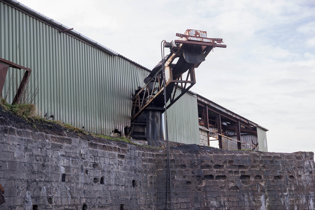
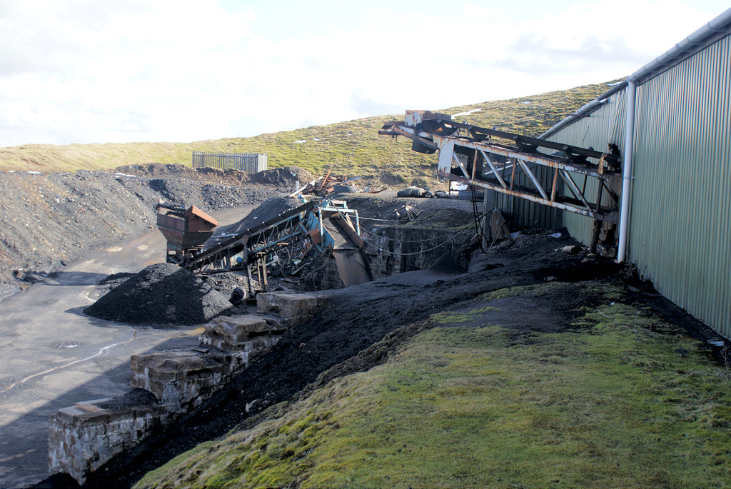
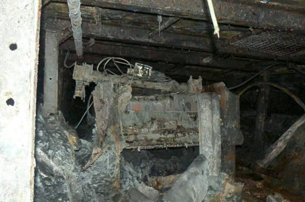
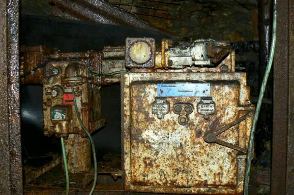
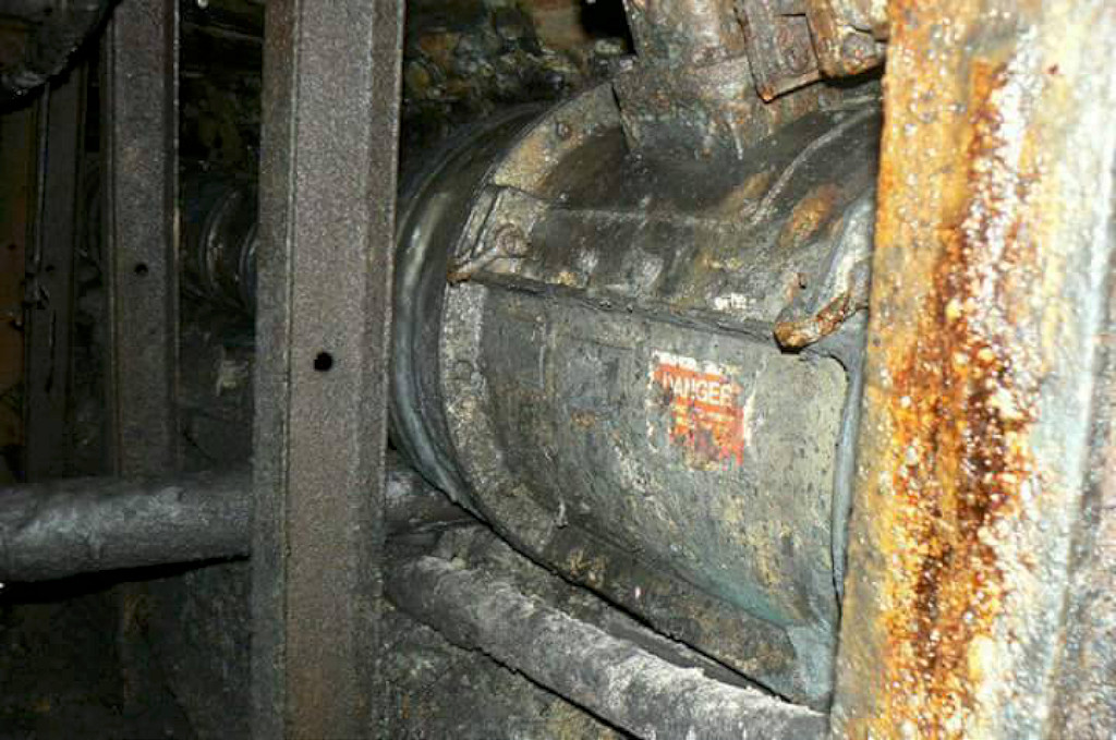
 Forgeside powerhouse, Blaenavon |
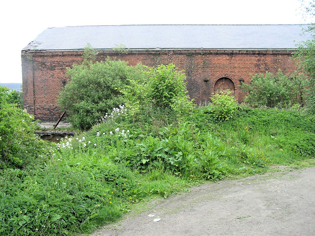 Forgeside powerhouse, Blaenavon |
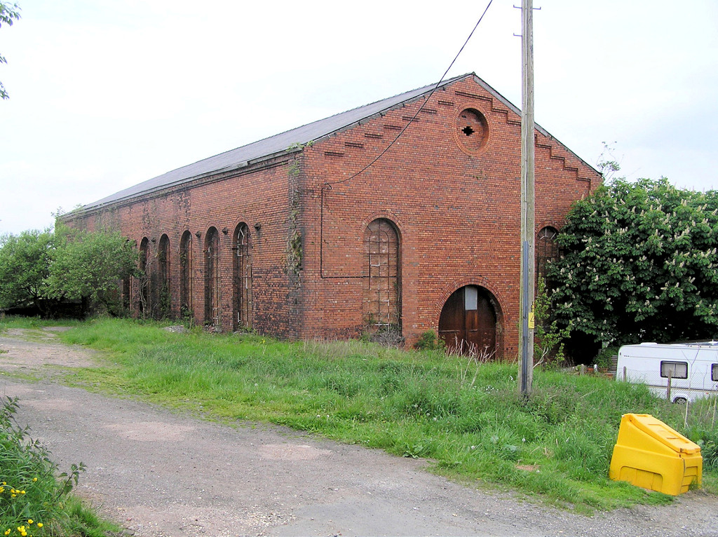 Forgeside powerhouse, Blaenavon |
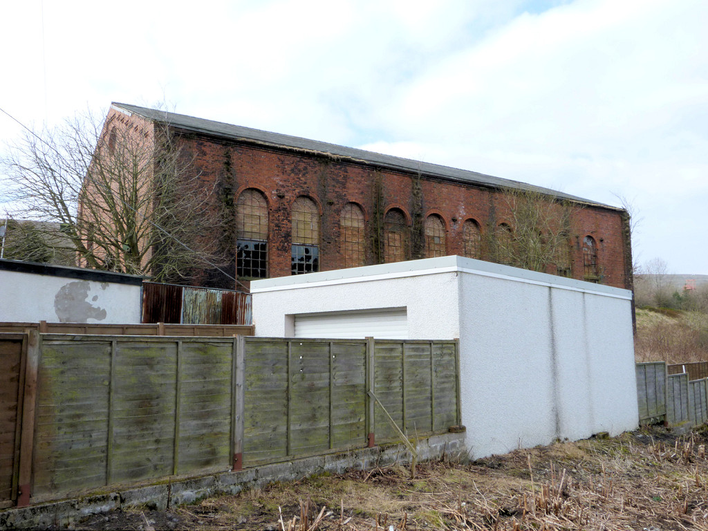 Forgeside powerhouse, Blaenavon |
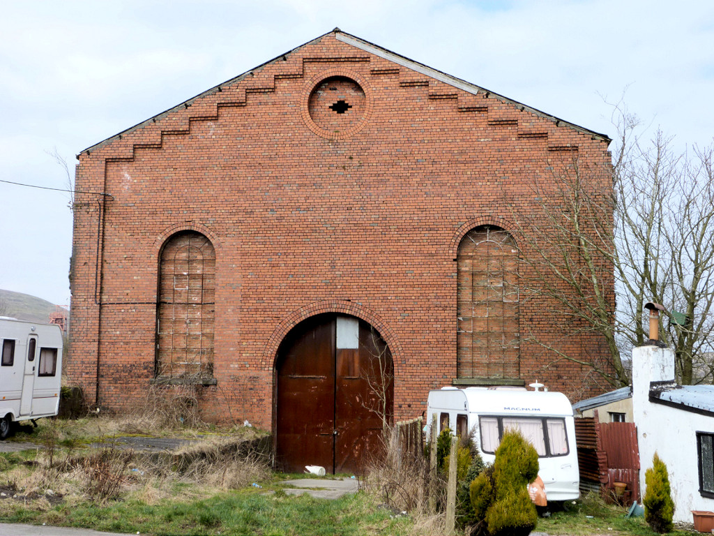 Forgeside powerhouse, Blaenavon |
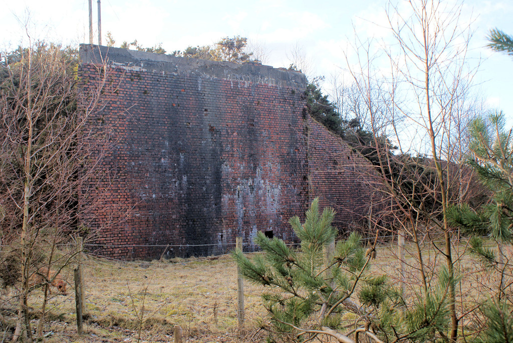
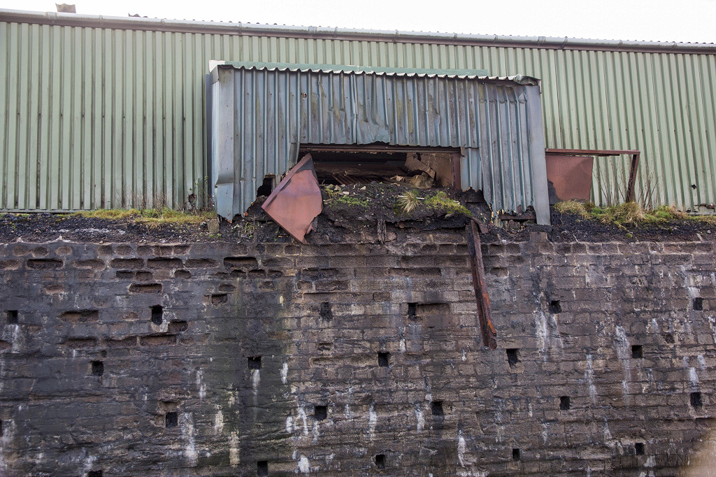
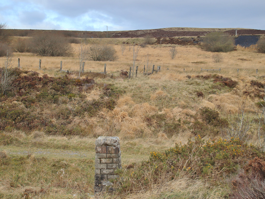
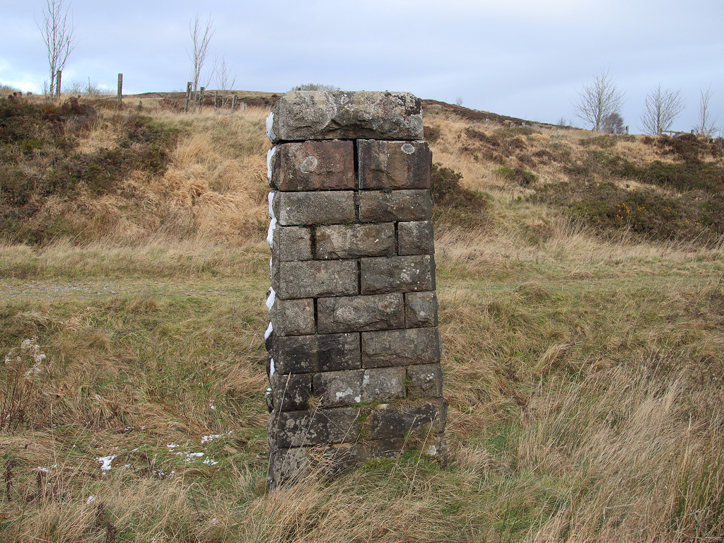
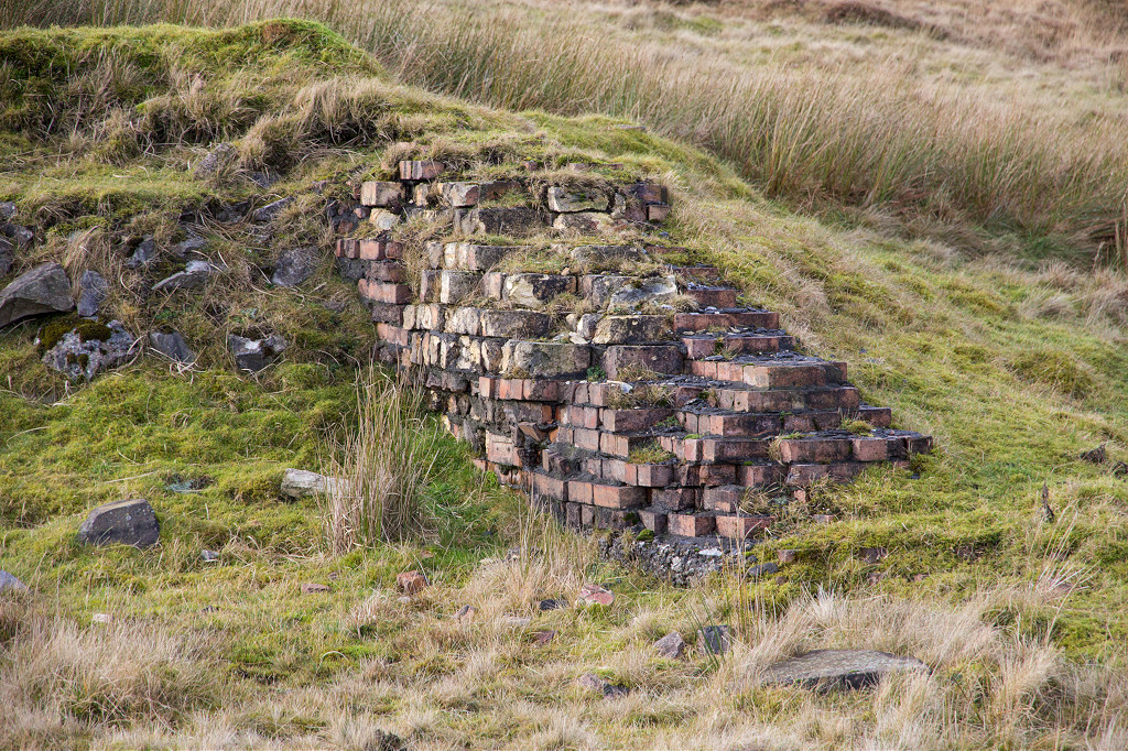
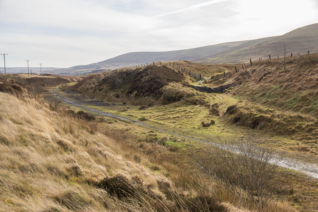
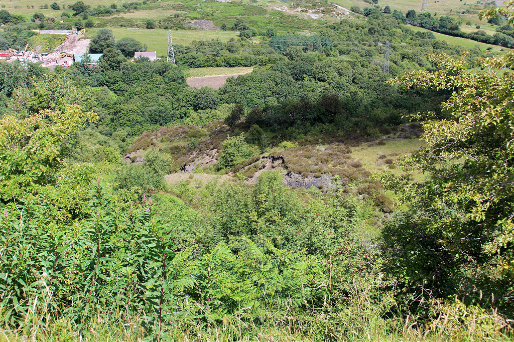
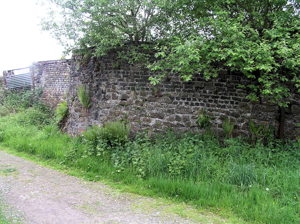 Forgeside retaining wall |
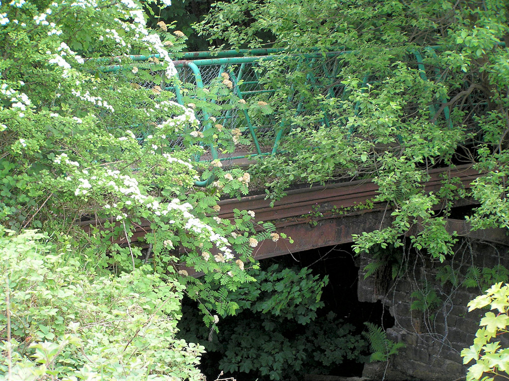
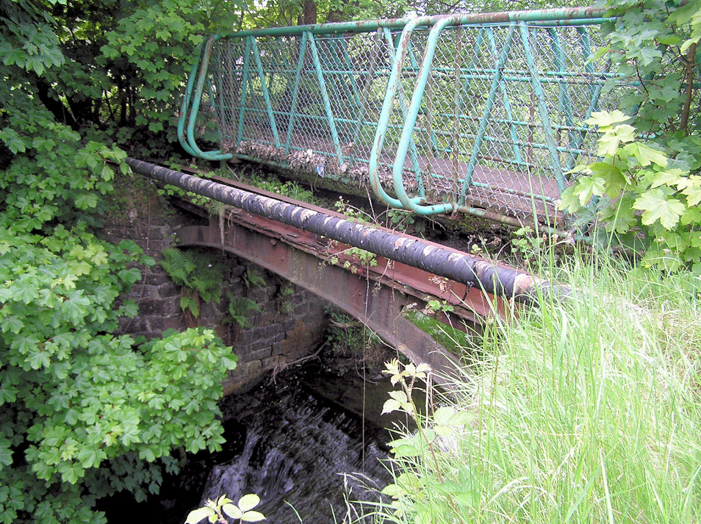
 LNWR bridge and 'extra' arch |
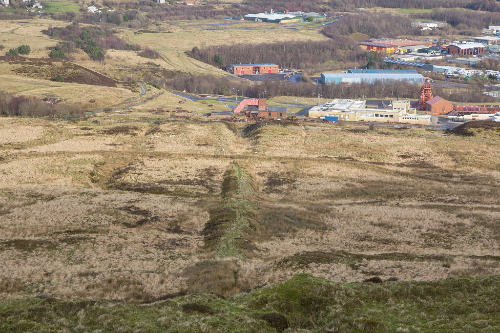
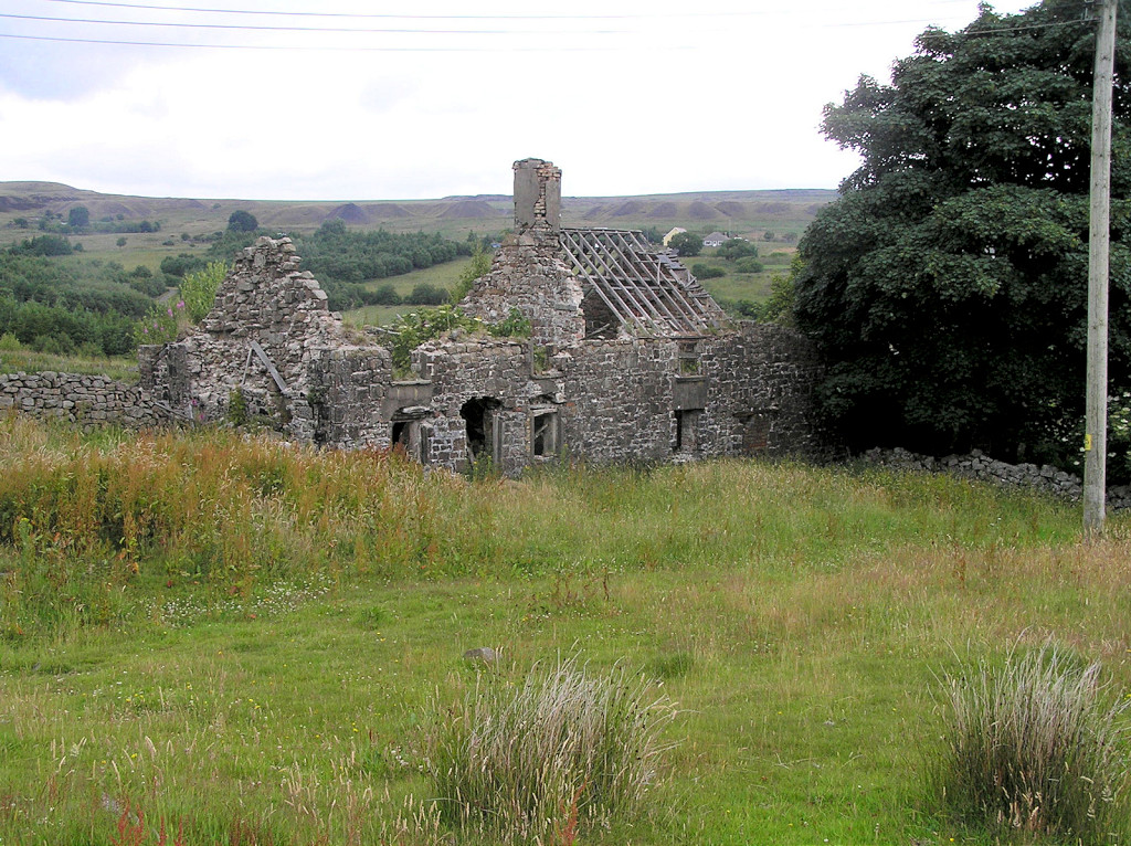
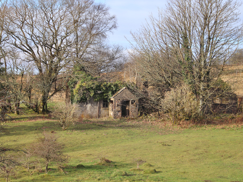
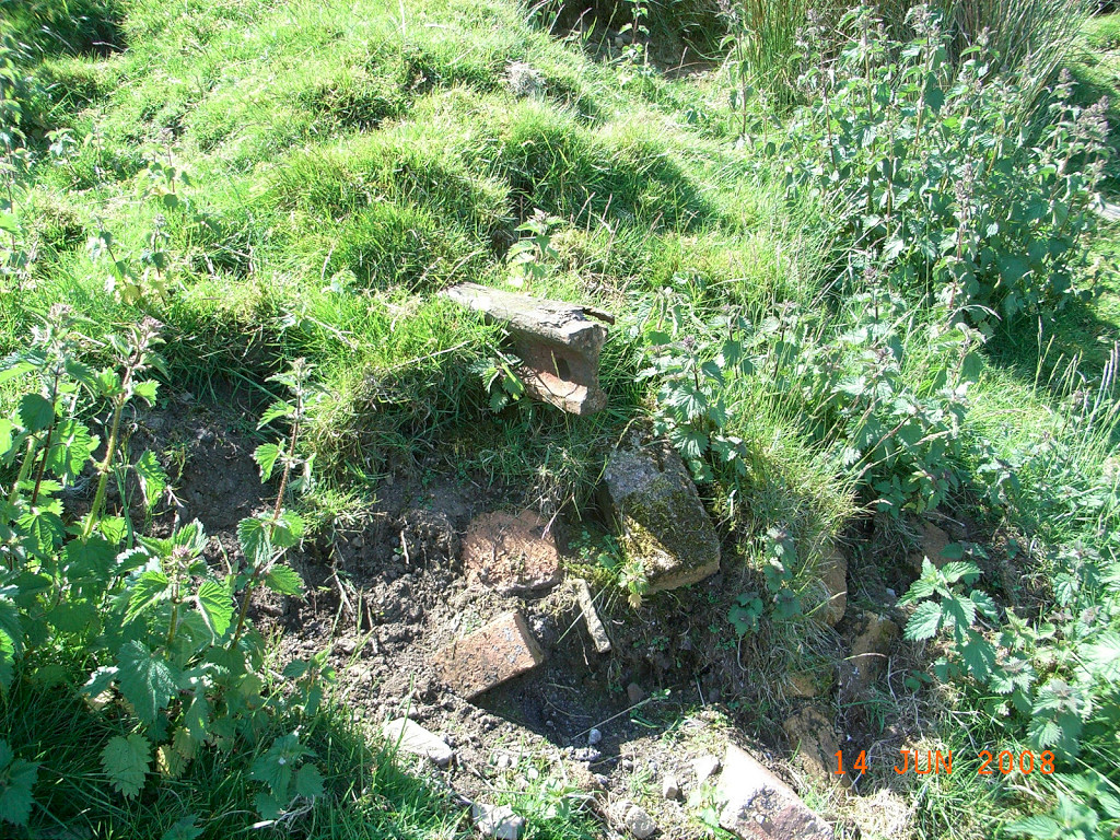
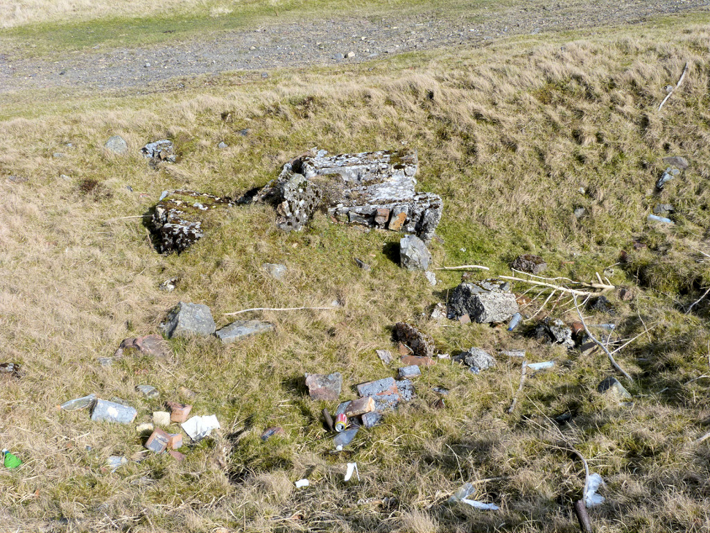
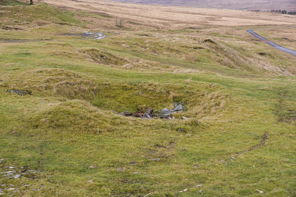
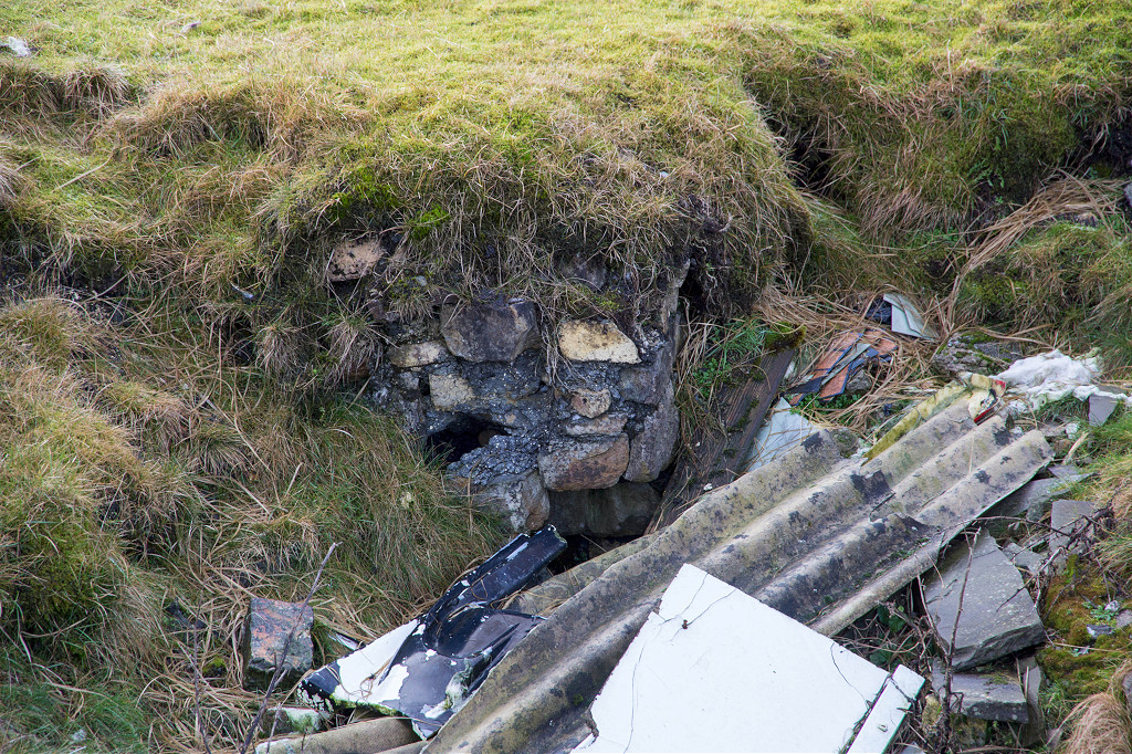
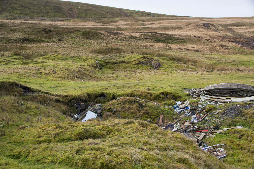
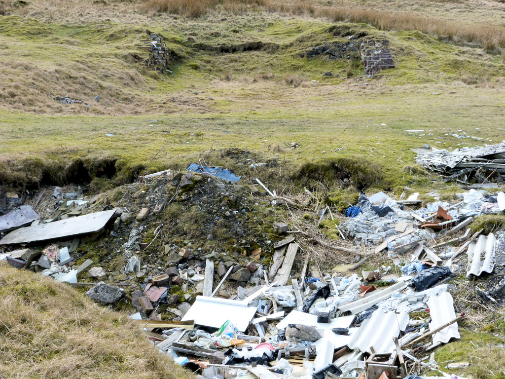
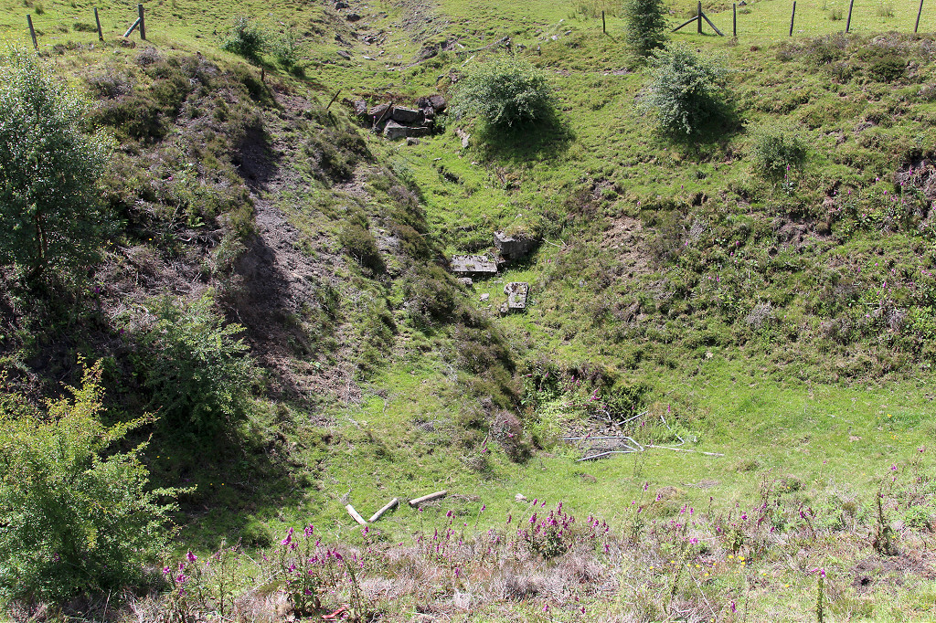
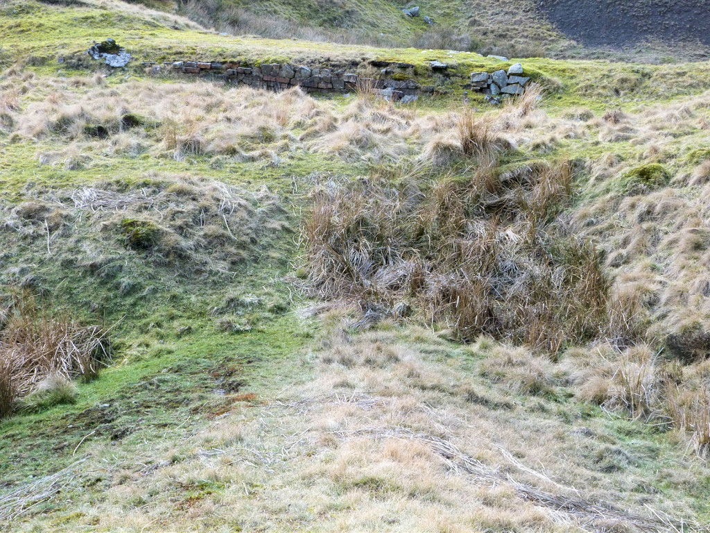
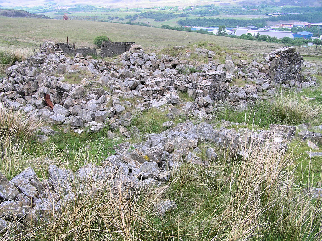 The ruins of Coity Ganol |
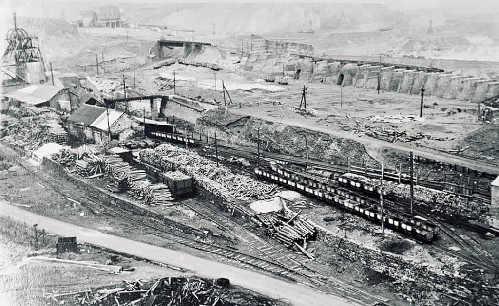
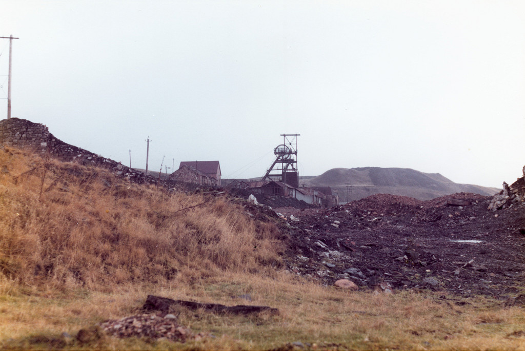
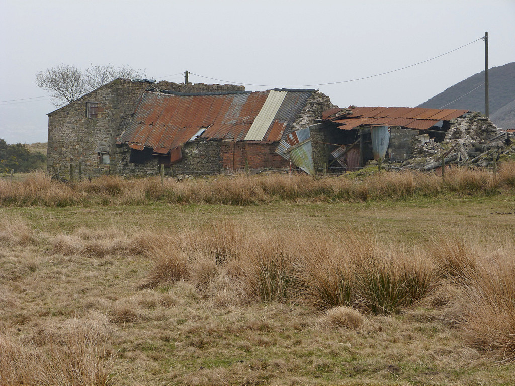
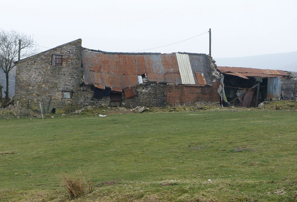
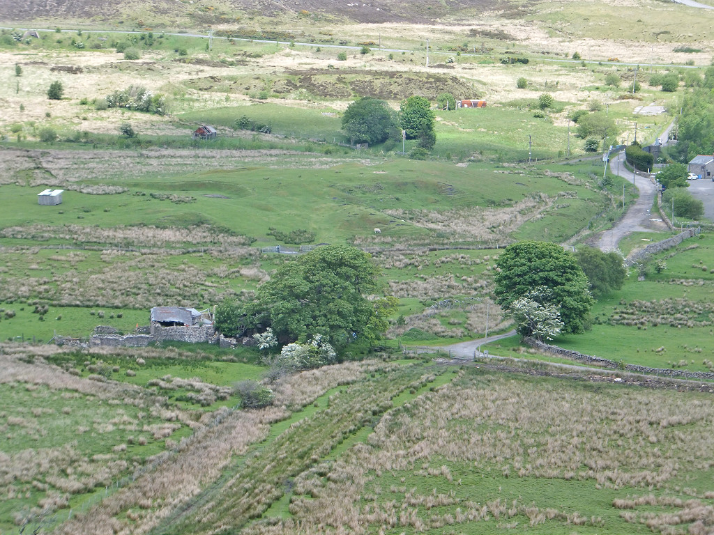
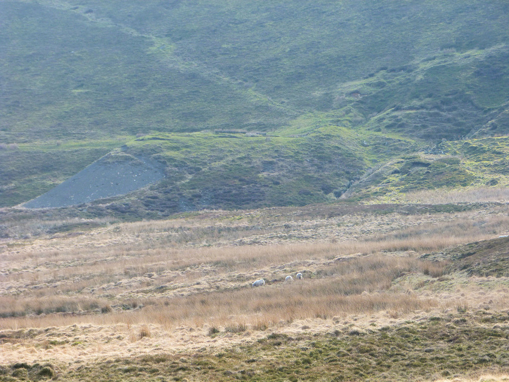
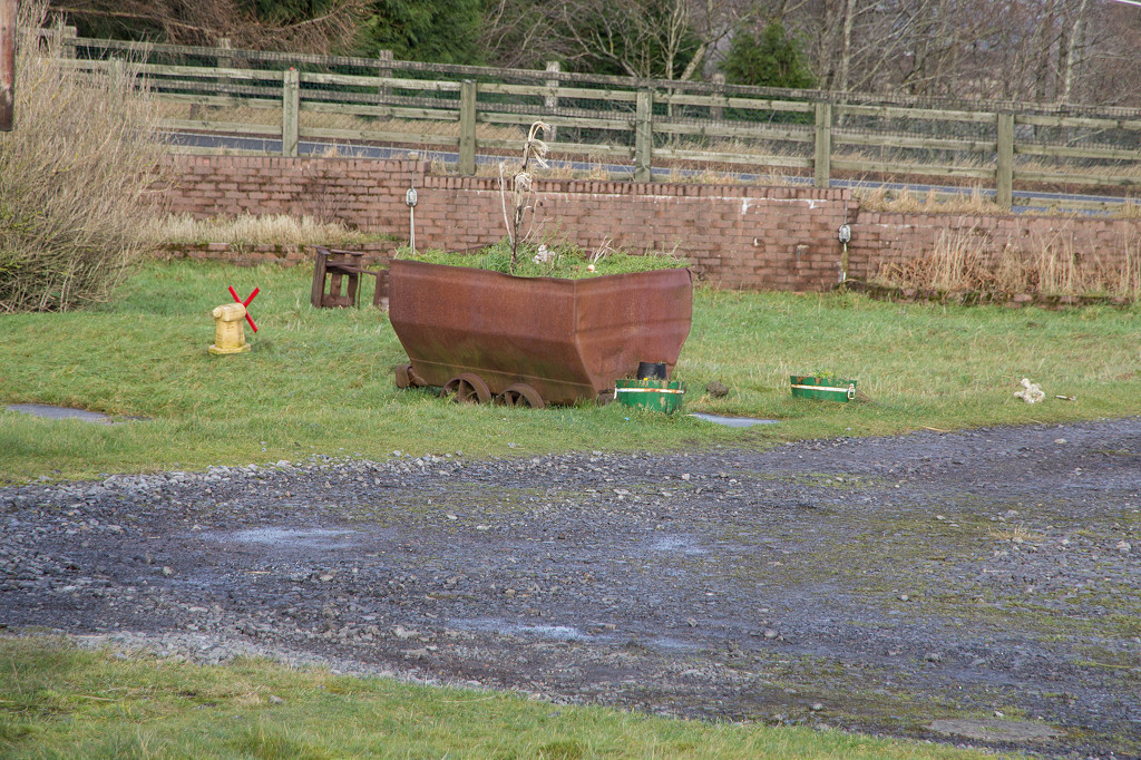
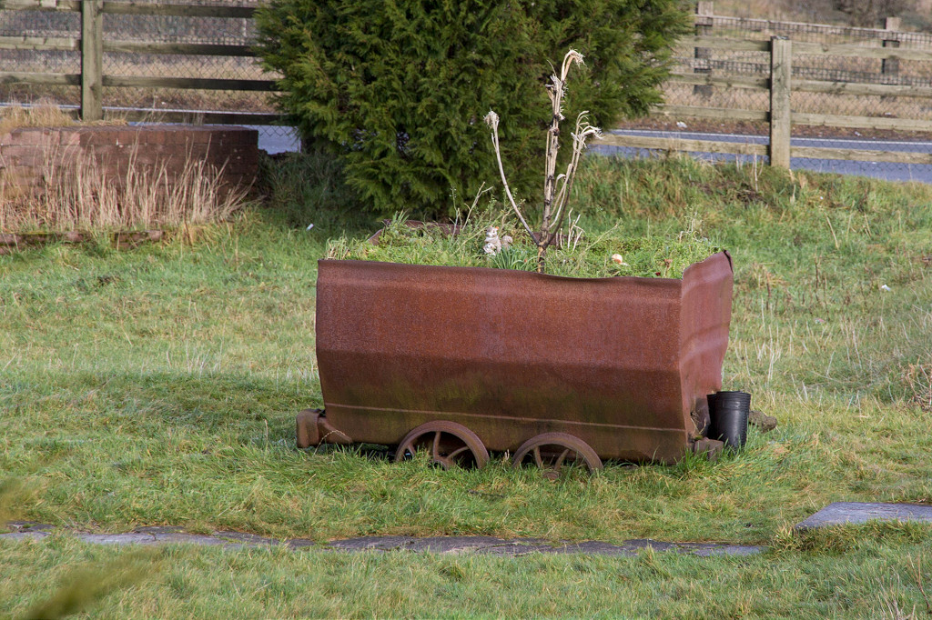
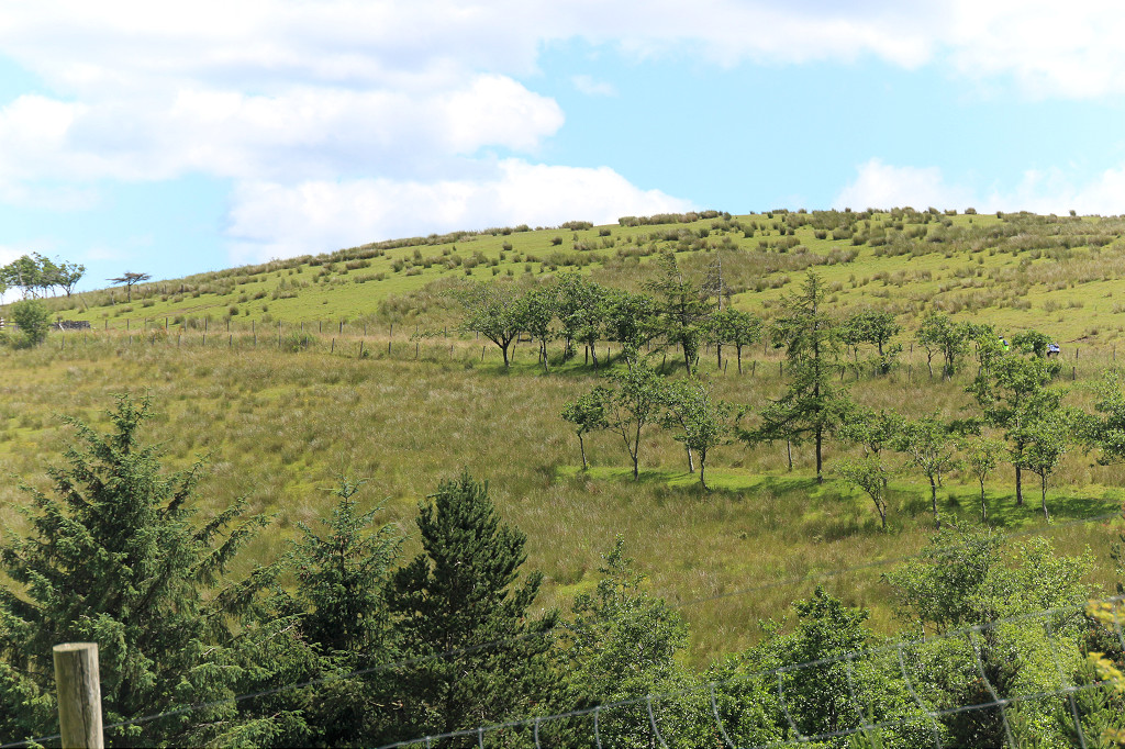
 Forgeside as it was |
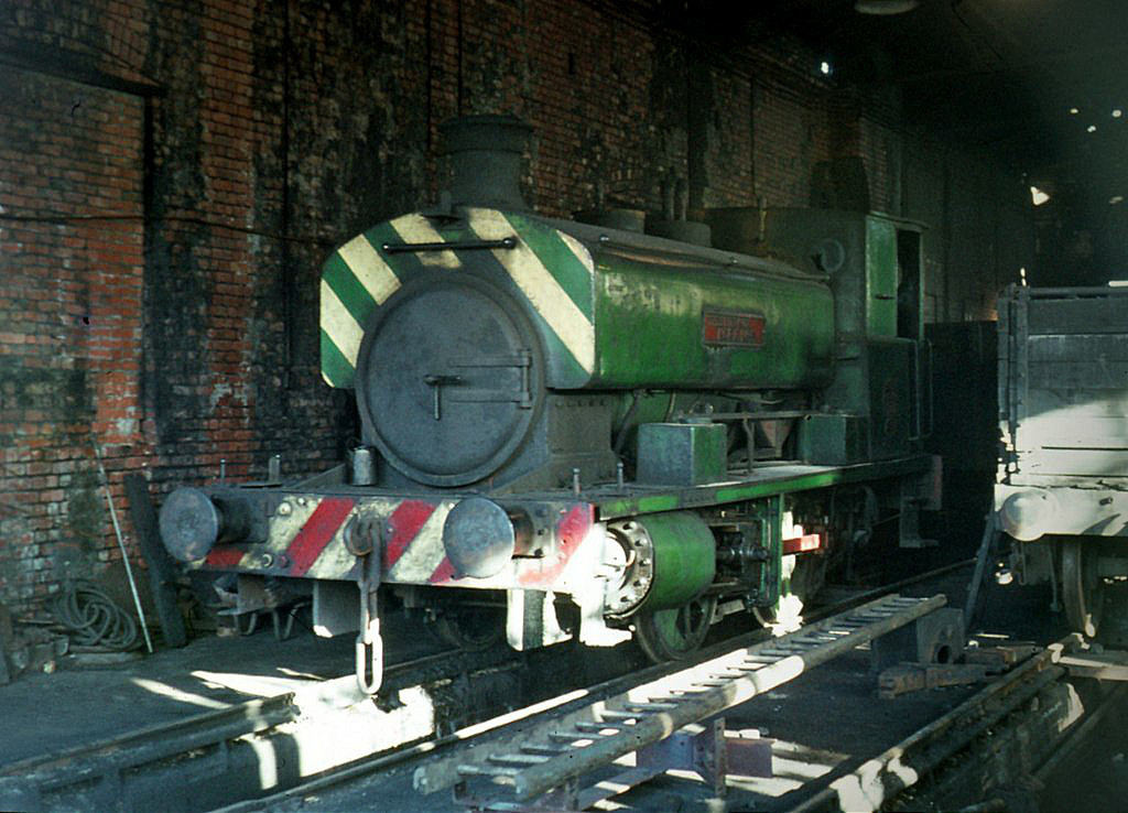
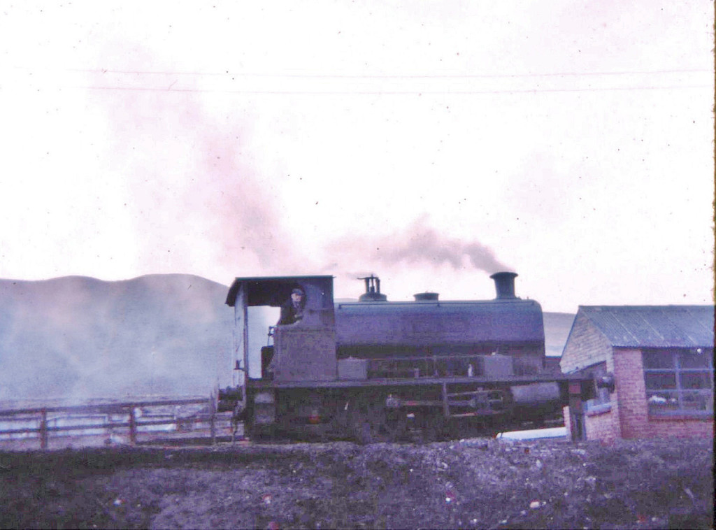
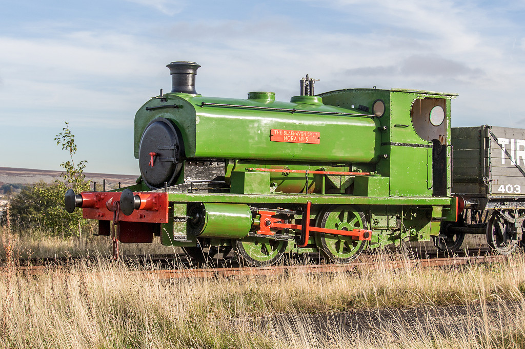 Blaenavon Ironworks 'Nora No 5' |
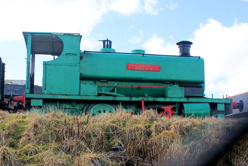 Blaenavon Ironworks 'Nora No 5' |
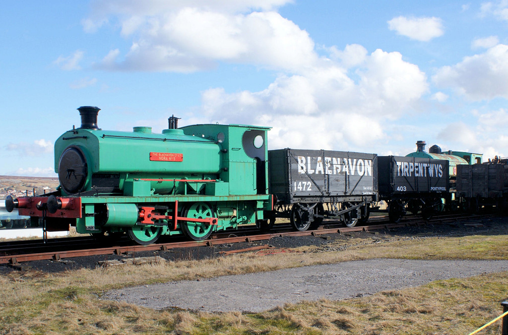 Blaenavon Ironworks 'Nora No 5' |
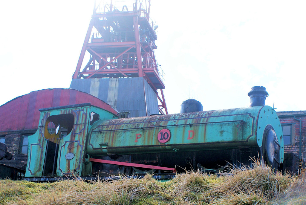 Powell Duffryn loco No 10 |
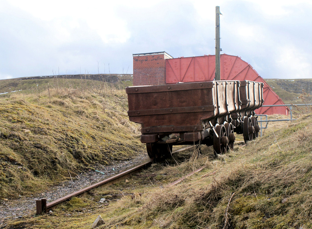
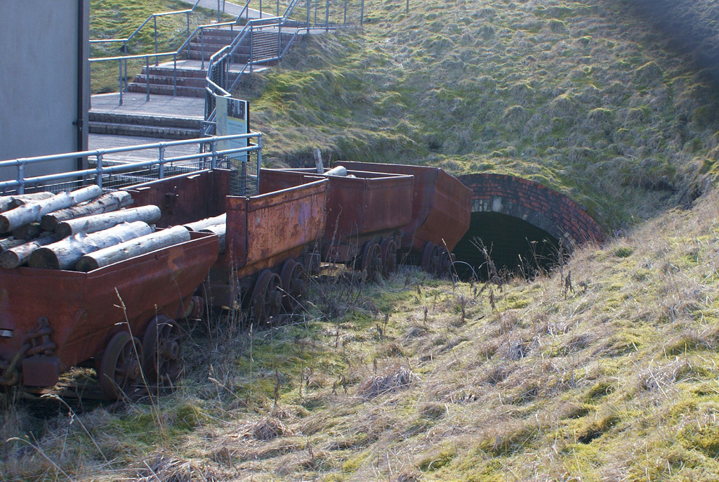
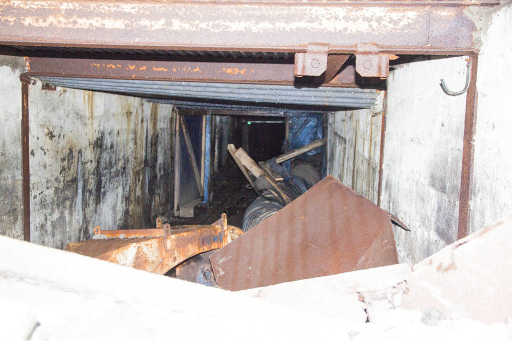
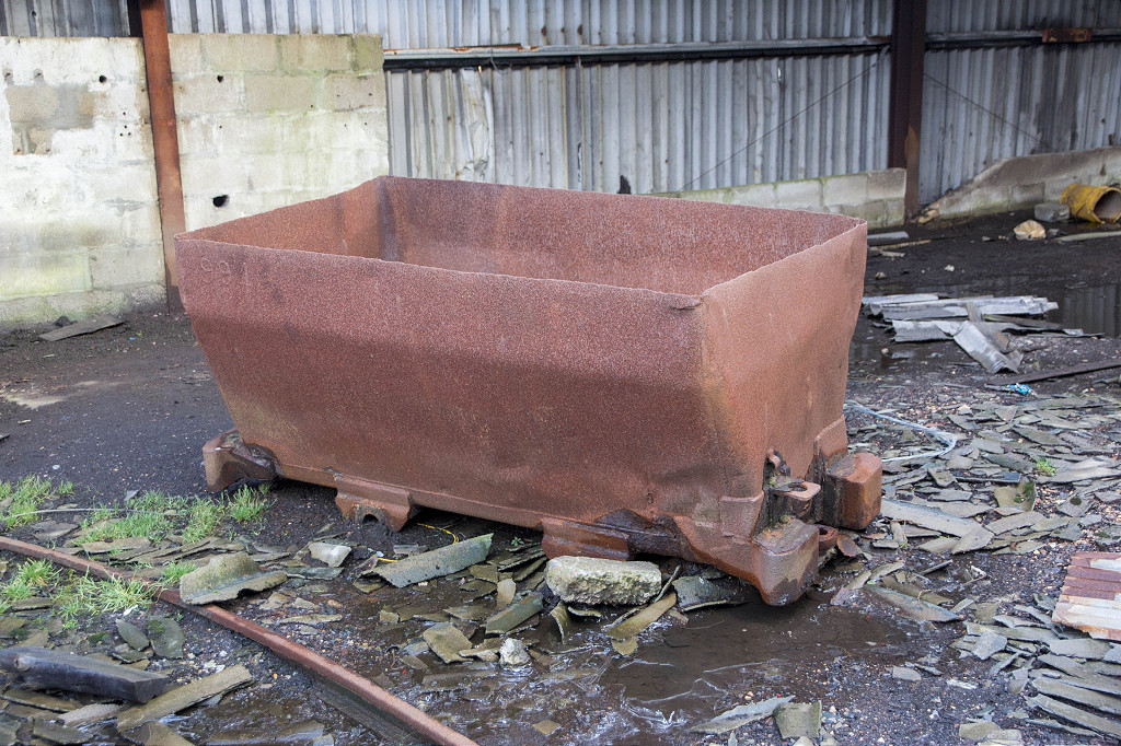
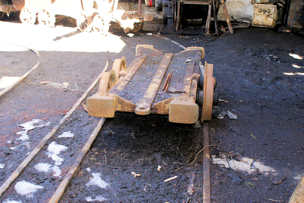
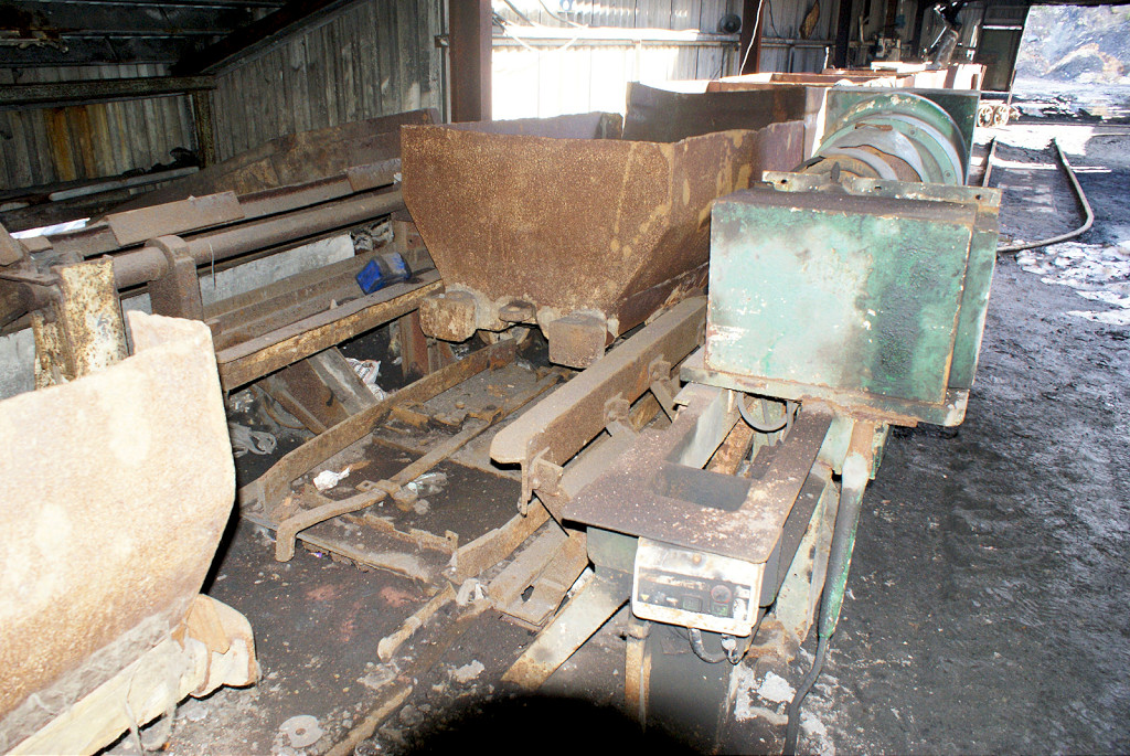
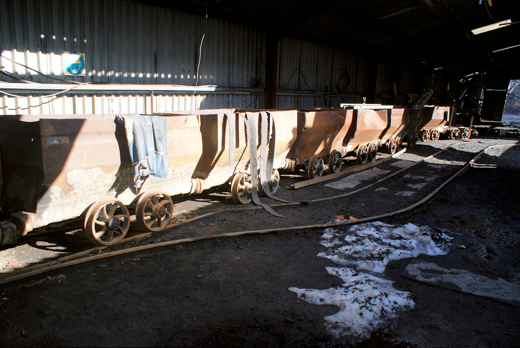
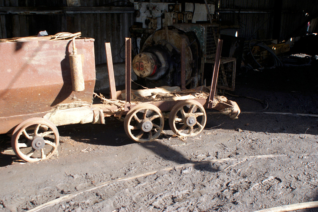
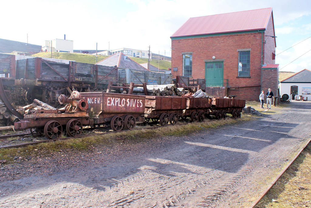 Narrow gauge wagons |
 Narrow gauge wagons |
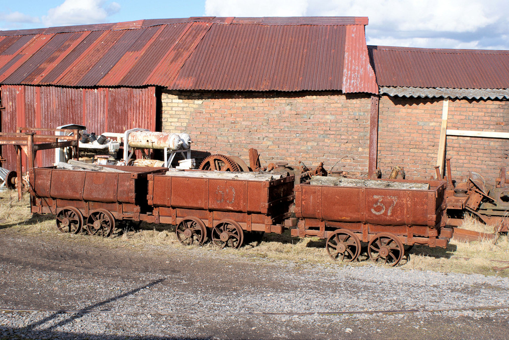
 Standard gauge wagons |
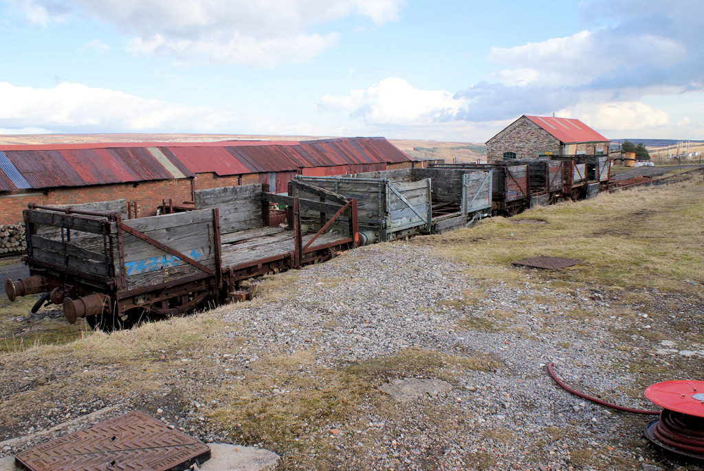 Standard gauge wagons |
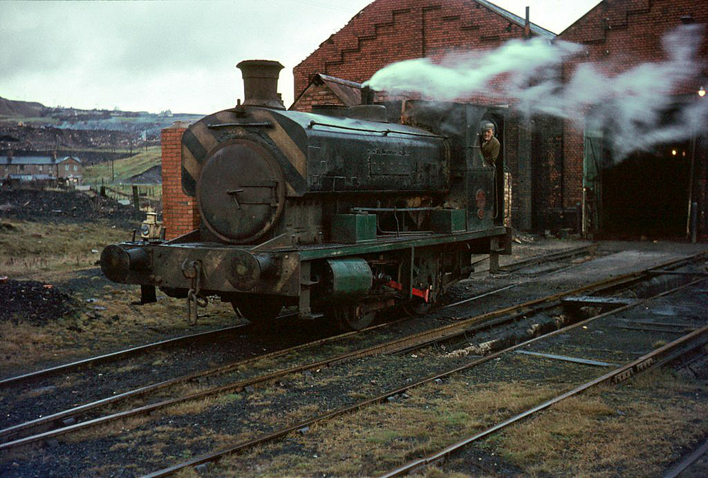
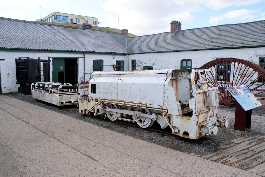 Hunslet loco HE6049 of 1961 |
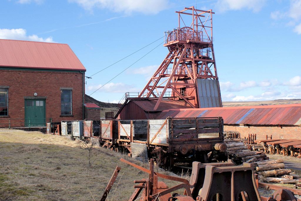
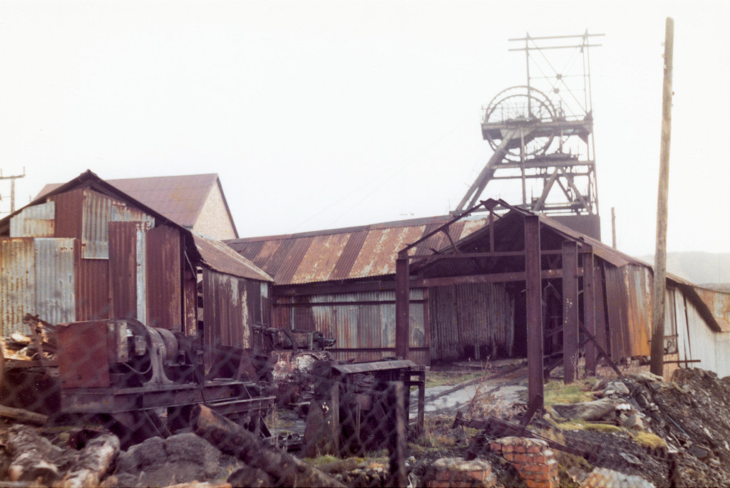
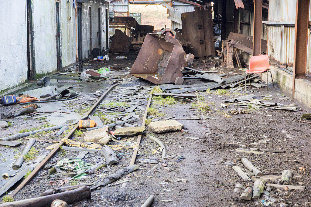
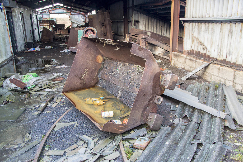
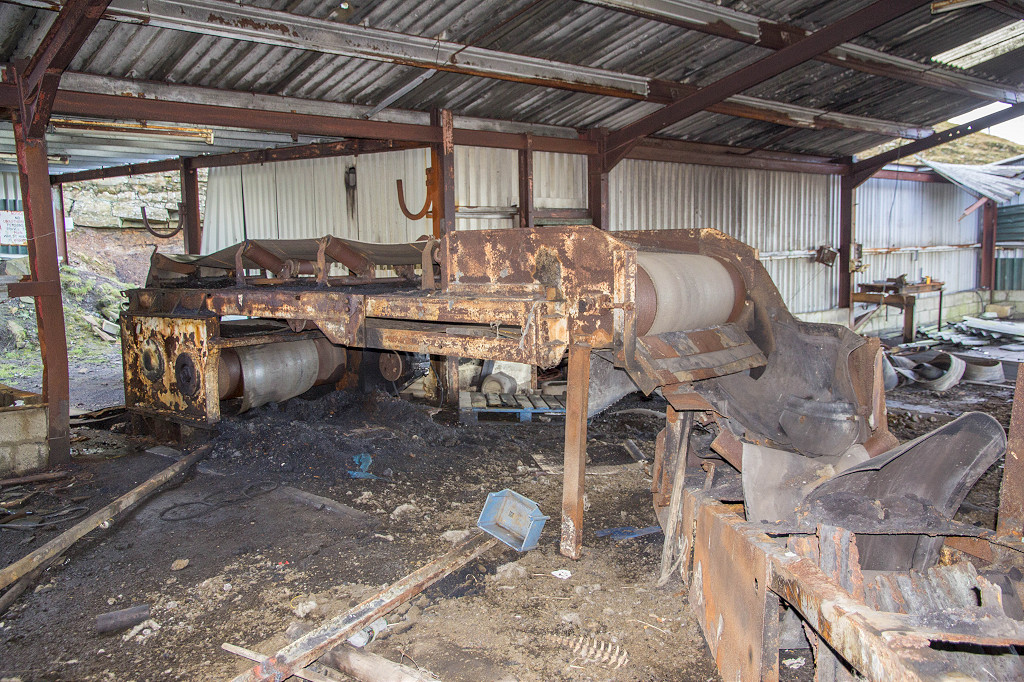
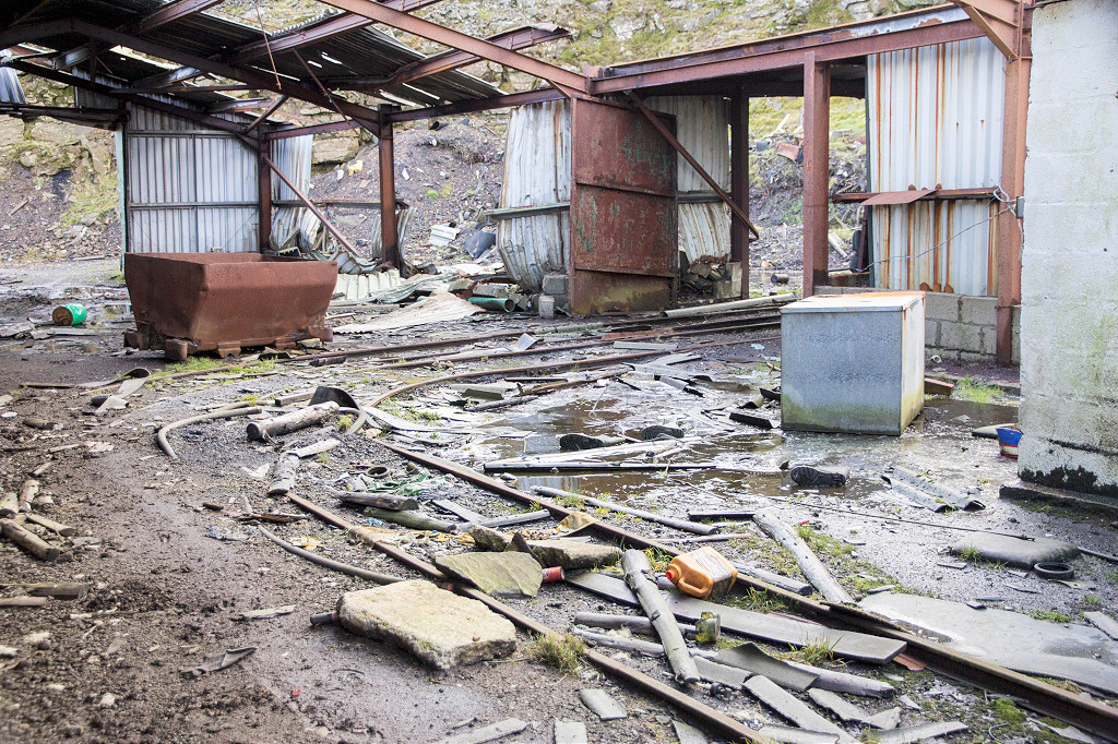
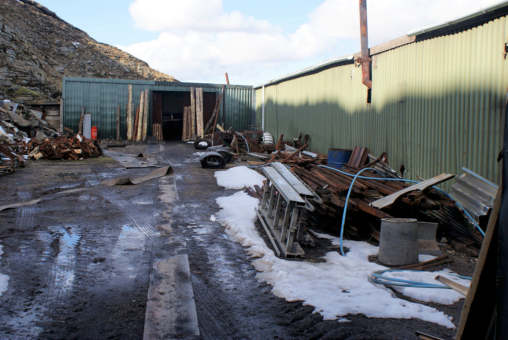
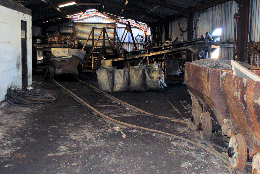
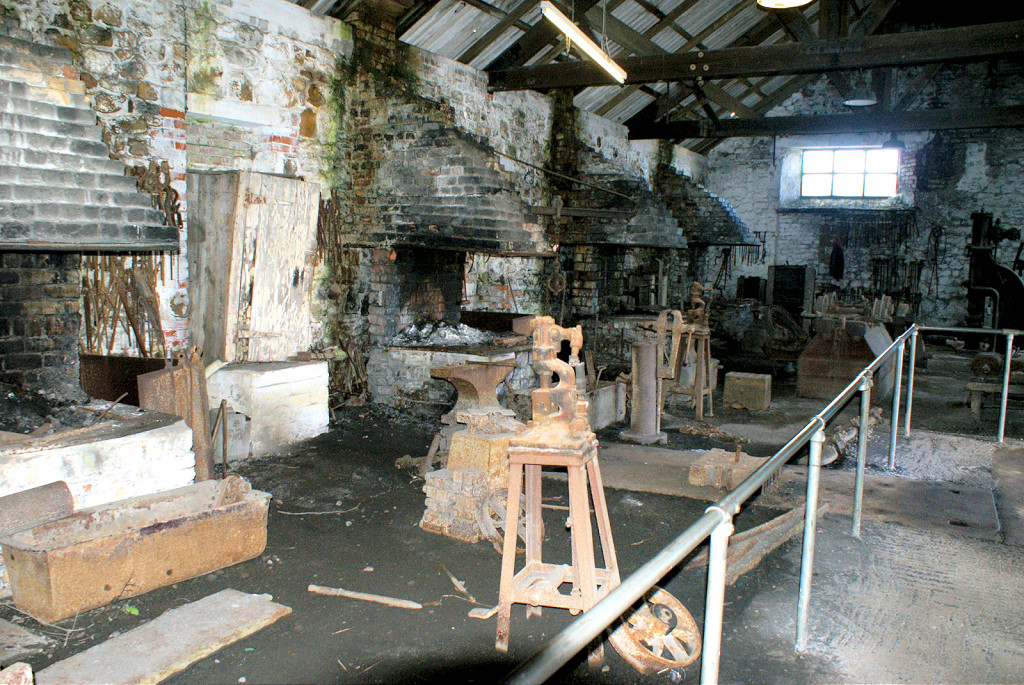 Big Pit workshops |
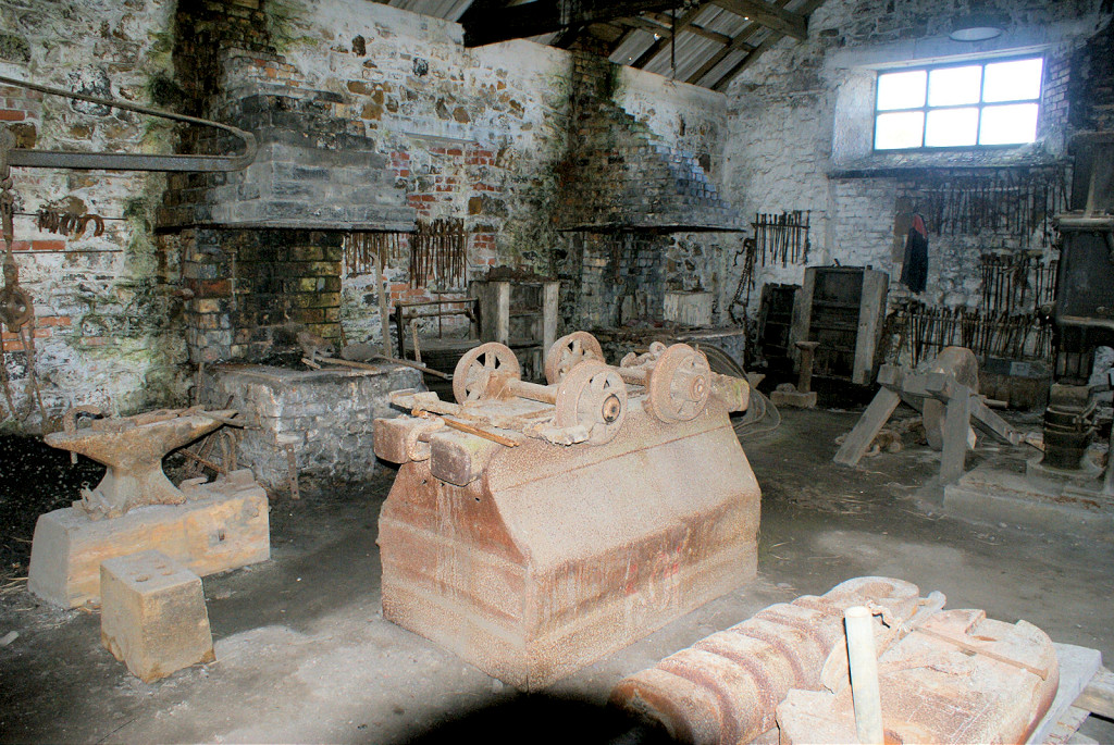 Big Pit workshops |
 Big Pit water balance |
 Big Pit, Dodds Slope incline |
 Big Pit, Dodds Slope |
 Big Pit, Dodds Slope |
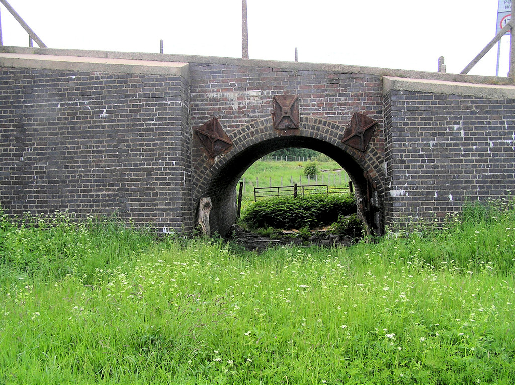
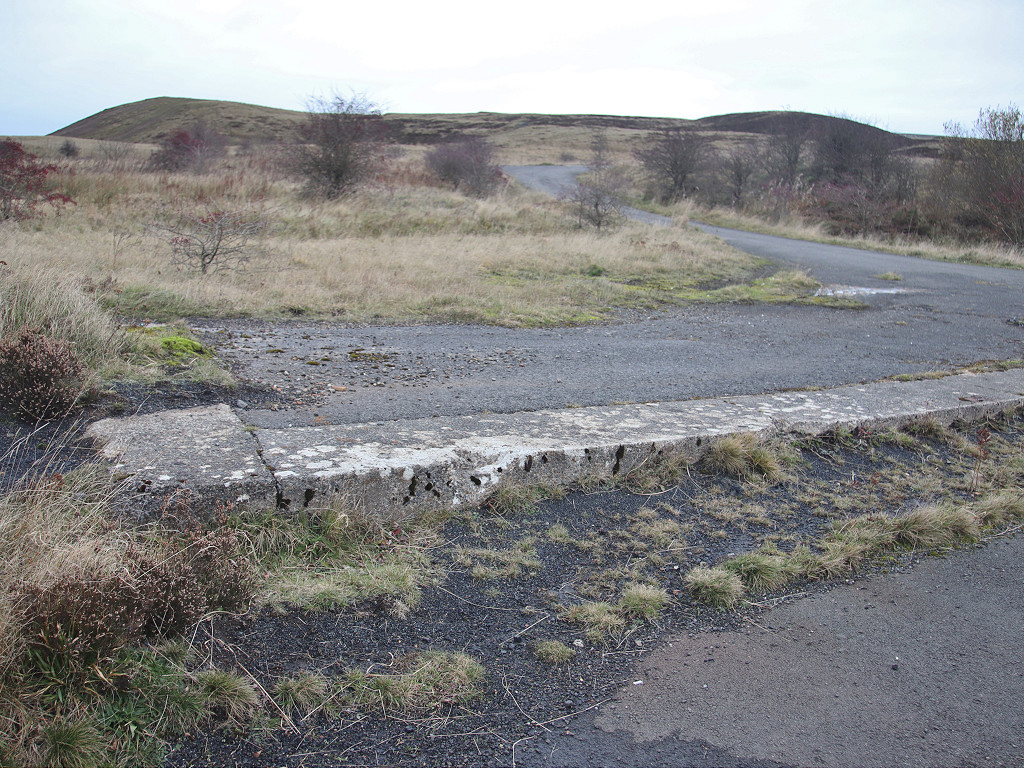
 Big Pit bridge over LNWR |
 Coke ovens bridge abutments |
 Coke ovens bridge abutments |
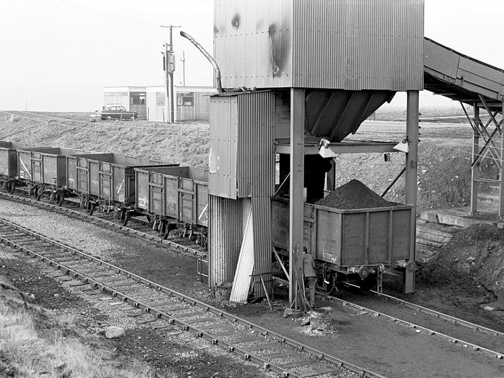
 Coke ovens bridge,c1950s |
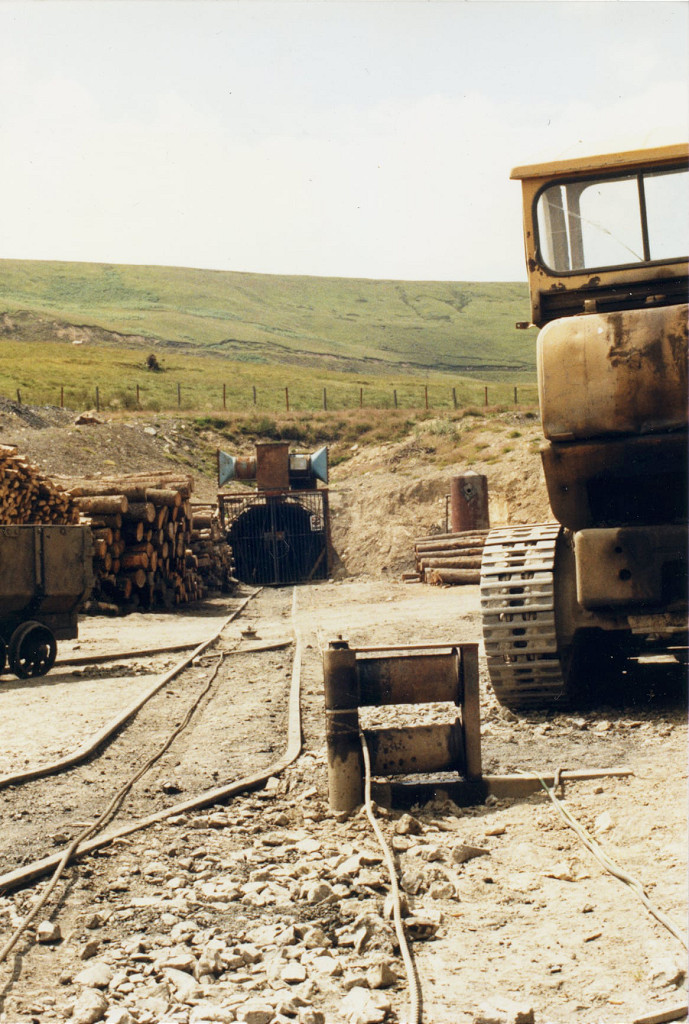
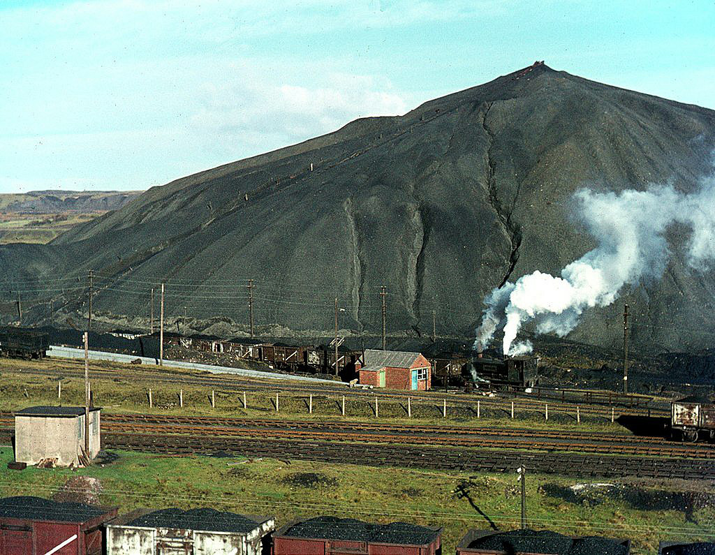
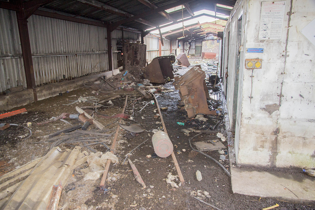
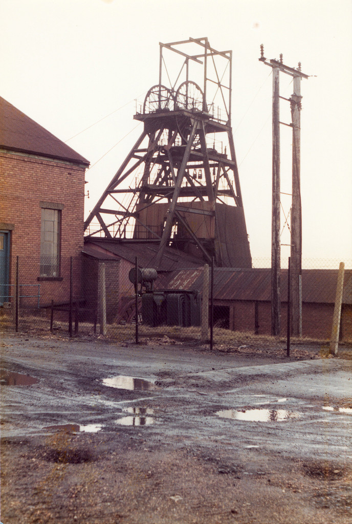 Big Pit after closure, c1981 or 1982 |
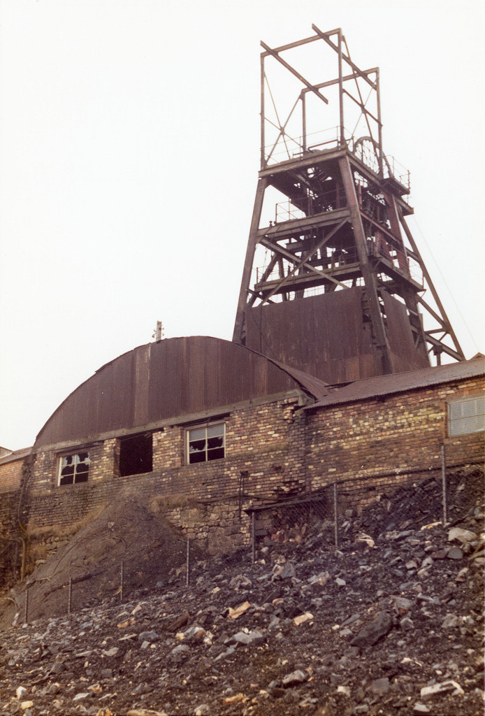 Big Pit after closure, c1981 or 1982 |
 Big Pit after closure, c1981 or 1982 |
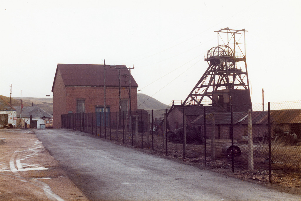 Big Pit after closure, c1981 or 1982 |
 Big Pit after closure, c1981 or 1982 |
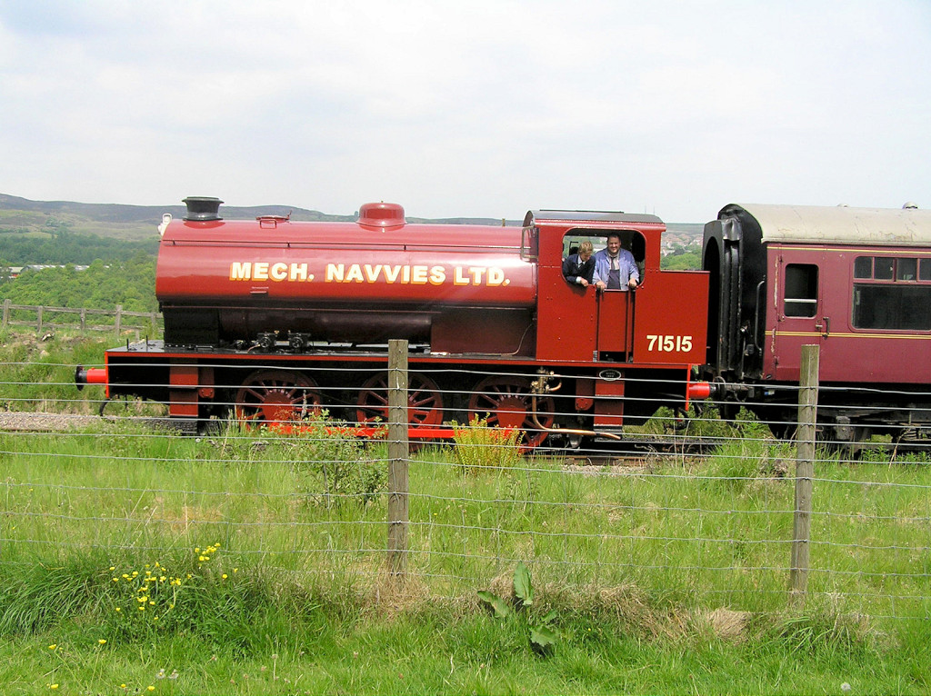 PBR 71515 |
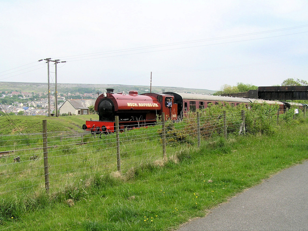 PBR 71515 |
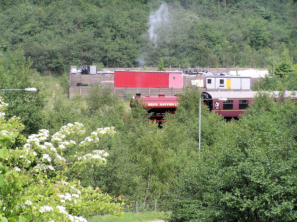 PBR 71515 |
 PBR 'Brookfield' |
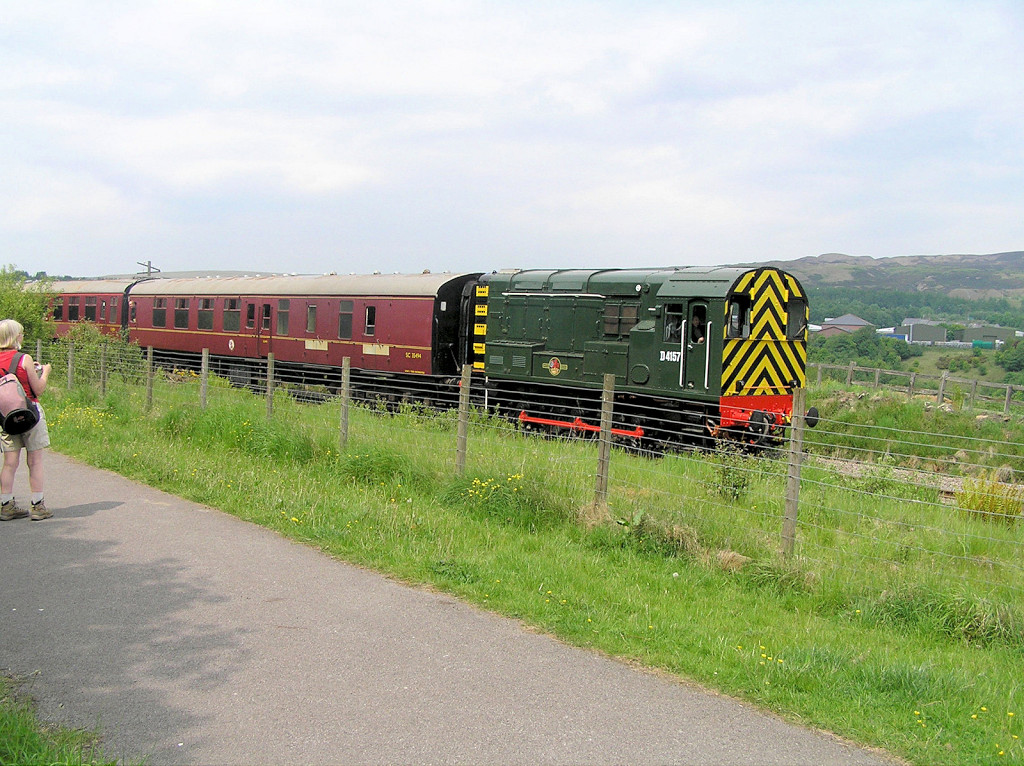 PBR D4157 |
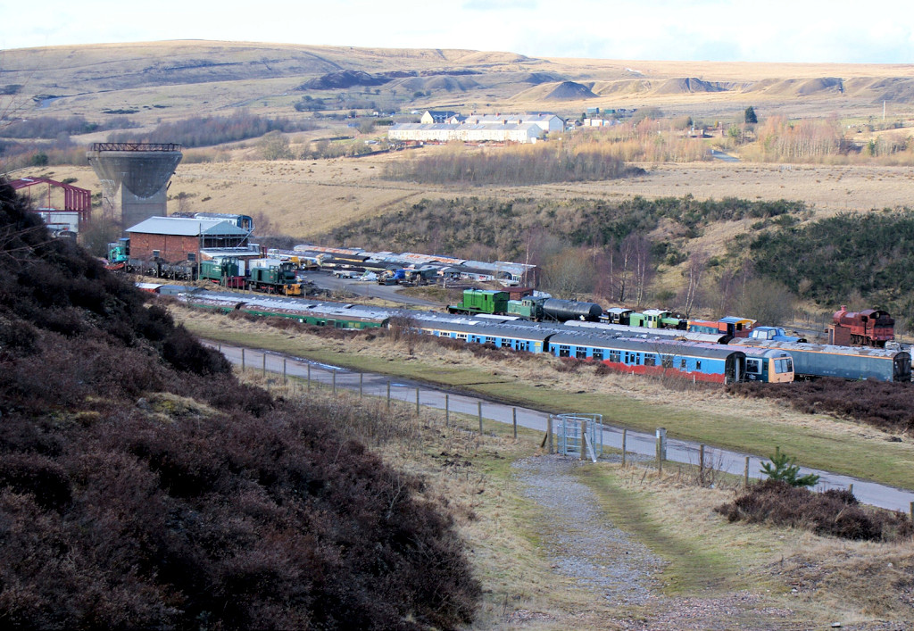
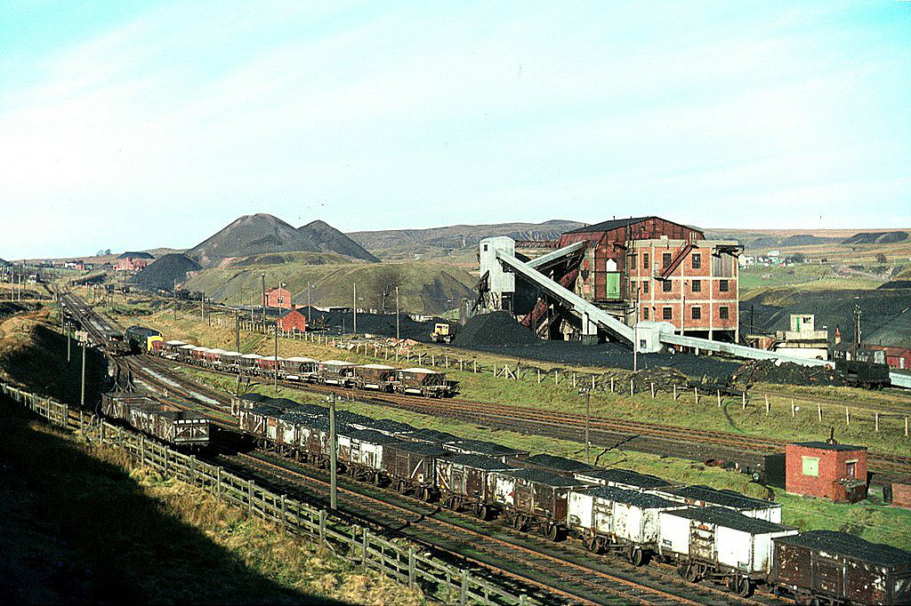
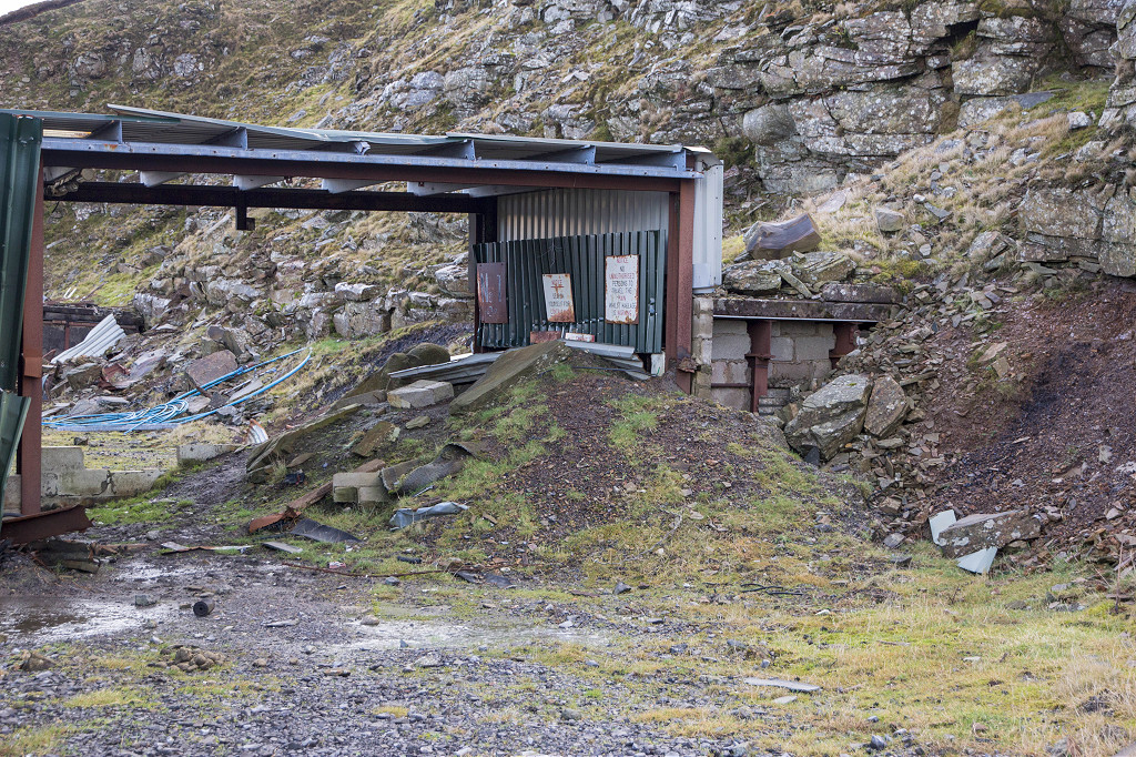
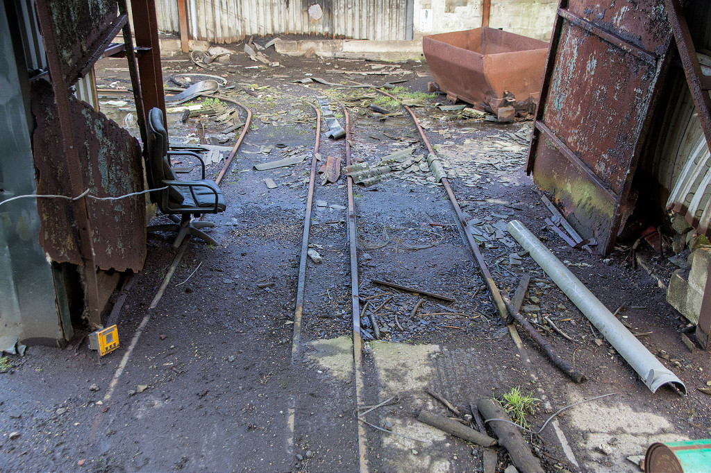
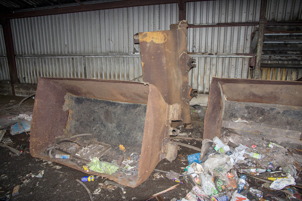
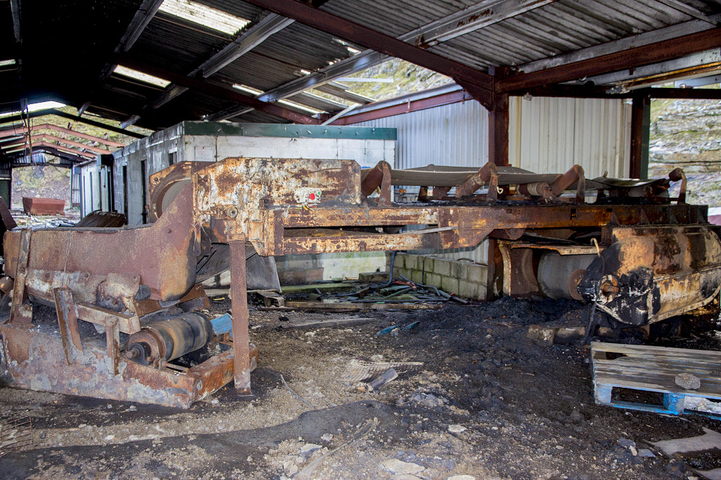
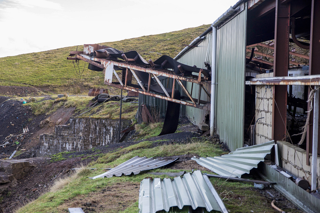
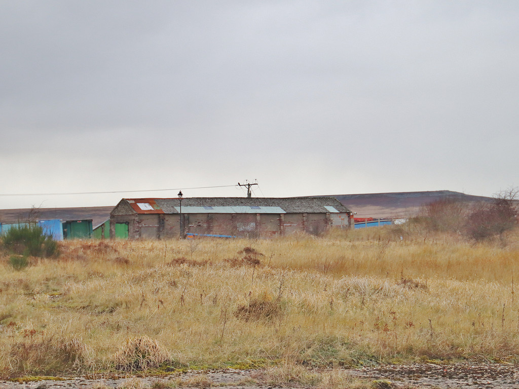
 PBR depot and washery |
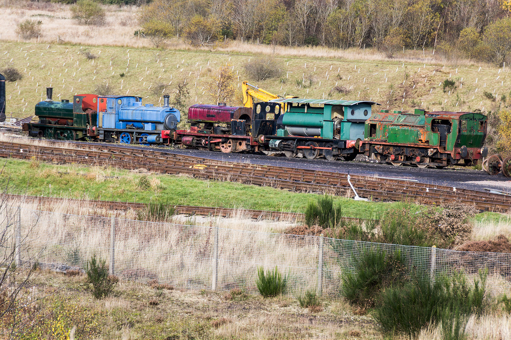 PBR industrial locos |
 PBR depot |
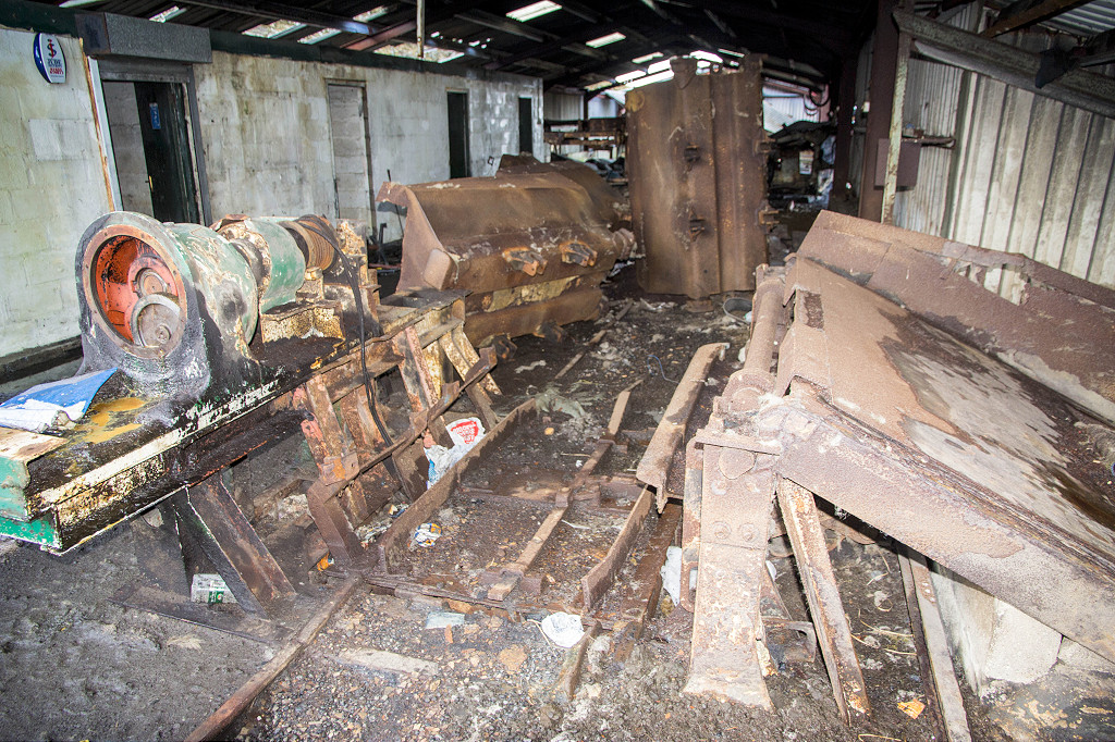
 Big Pit washery |
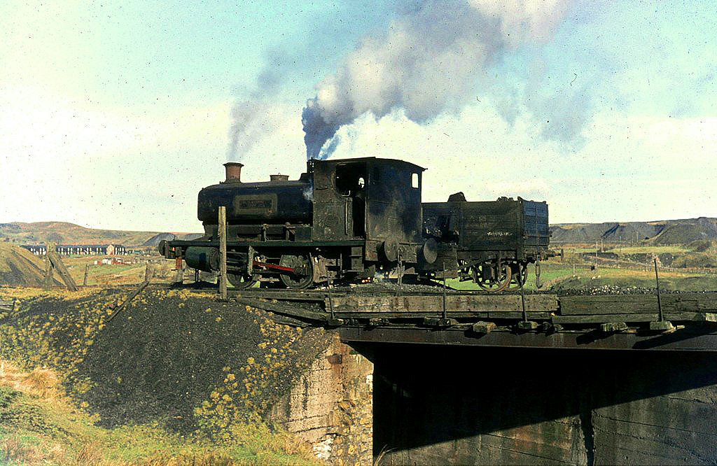 'Toto No 6' near Big Pit 1969 |
 Railways around Big Pit, 1969 |
 'Toto No 6' near Big Pit 1969 |
 'Toto No 6' near Big Pit 1969 |
 'Toto No 6' near Big Pit, 1969 |
 'Nora No 5' on shed, 1969 |
 'Toto No 6' on shed, 1969 |
 'Toto No 6' on shed, 1967 |
 Blaentillery Colliery |
 Blaentillery Colliery |
 Blaentillery Colliery |
 Blaentillery Colliery |
 Blaentillery Colliery |
 Blaentillery Colliery |
 Blaentillery Colliery |
 Blaentillery Colliery |
 Blaentillery Colliery |
 Blaentillery Colliery |
 Blaentillery Colliery |
 Blaentillery Colliery |
 Blaentillery Colliery |
 Blaentillery Colliery |
 Blaentillery Colliery |
 Blaentillery Colliery |
 Blaentillery Colliery |
 Blaentillery Colliery |
 Blaentillery Colliery |
 Blaentillery Colliery |
 Blaentillery Colliery |
 Blaentillery Colliery |
 Blaentillery Colliery |
 Blaentillery Colliery |
 Blaentillery Colliery |
 Blaentillery Colliery |
 Blaentillery Colliery |
 Blaentillery Colliery |
 Blaentillery Colliery |
 Blaentillery Colliery |
 Blaentillery Colliery |
 Blaentillery Colliery |
 Blaentillery Colliery |
 Blaentillery Colliery |
 Blaentillery Colliery |
 Blaentillery Colliery |
 Blaentillery Colliery |
 Blaentillery Colliery |
 Blaentillery Colliery |
 Blaentillery Colliery |
 Blaentillery Colliery |
 Blaentillery Colliery |
 Blaentillery Colliery |
 Blaentillery Colliery |
 Blaentillery Colliery |
 Blaentillery Colliery |
 Blaentillery Colliery |
 Blaentillery Colliery |
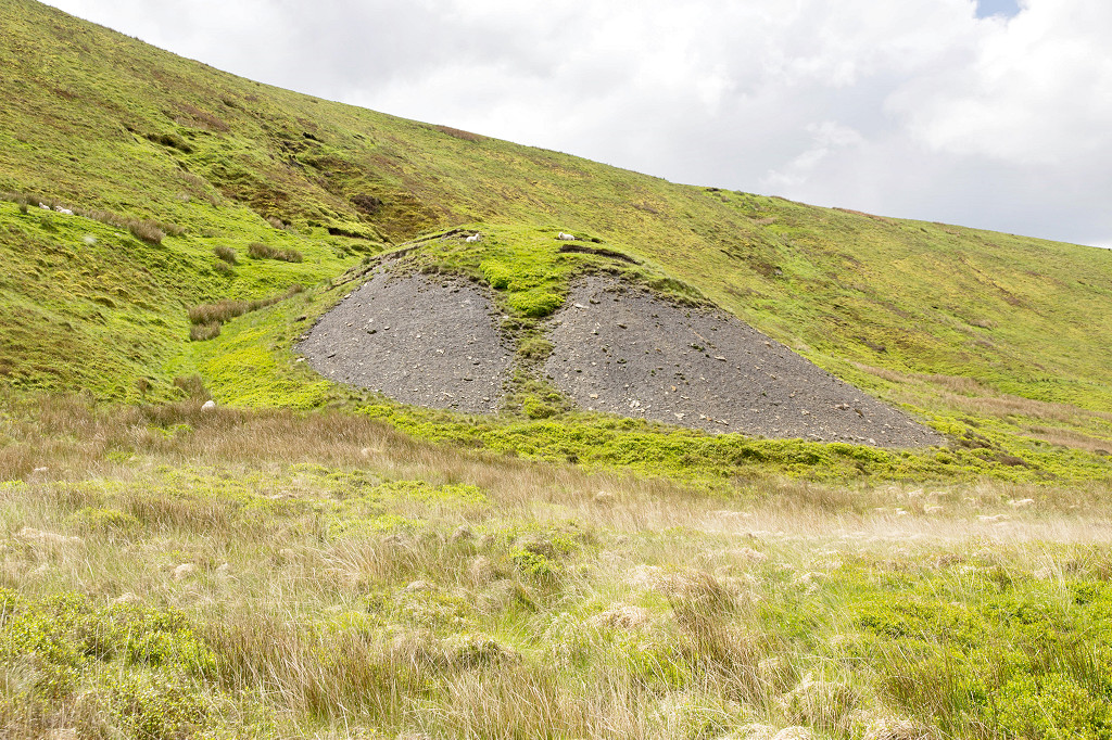
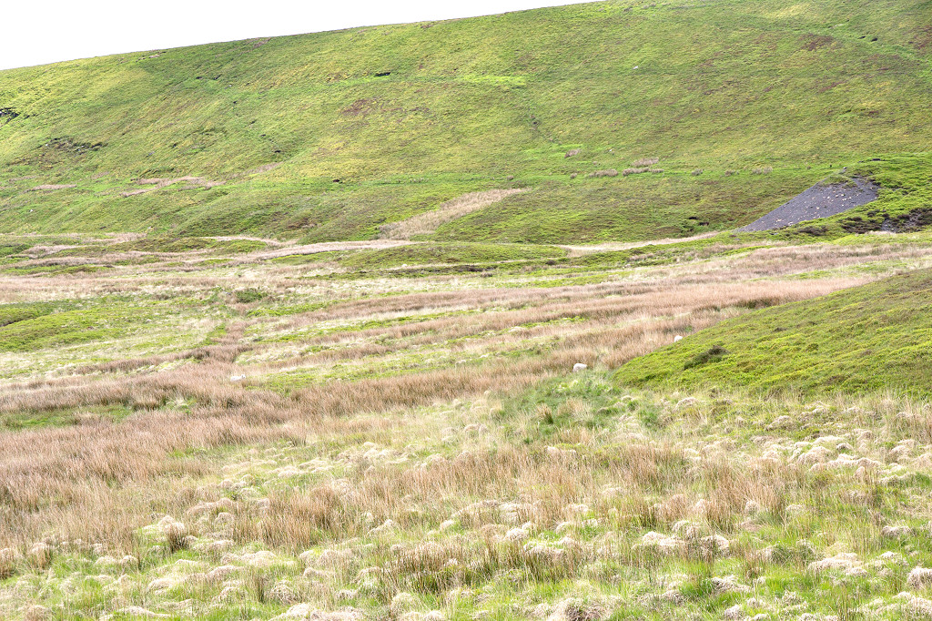
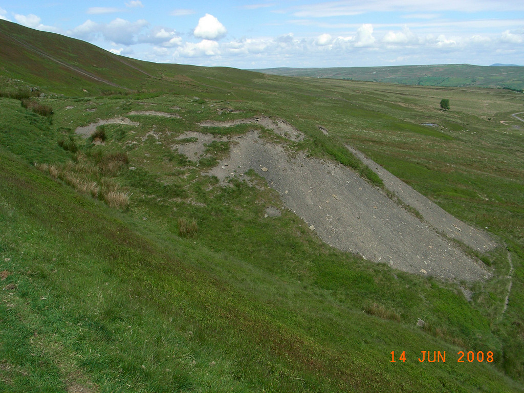
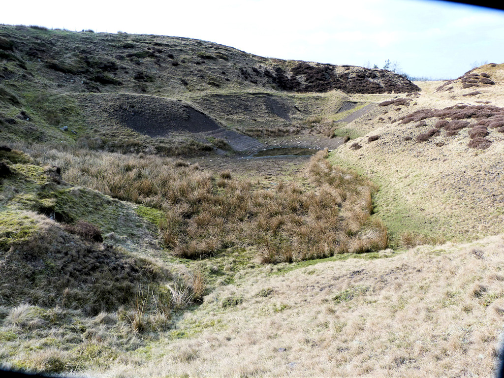
 Coity Quarry incline |
 Coity Quarry incline |
 Coity Quarry incline |
 Coity Quarry incline |
 Coity Quarry incline |
 Coity Quarry incline |
 Coity Quarry incline |
 Coity Quarry, Blaenavon |
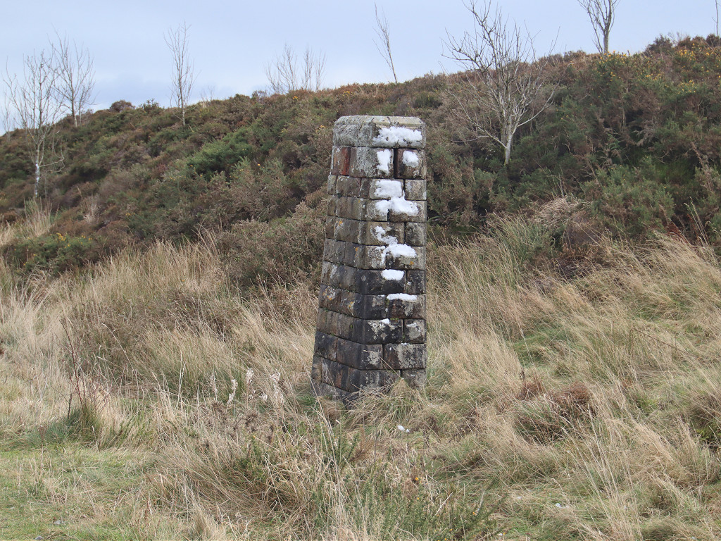
 Coity Quarry airshaft |
 Coity Quarry winding drum |
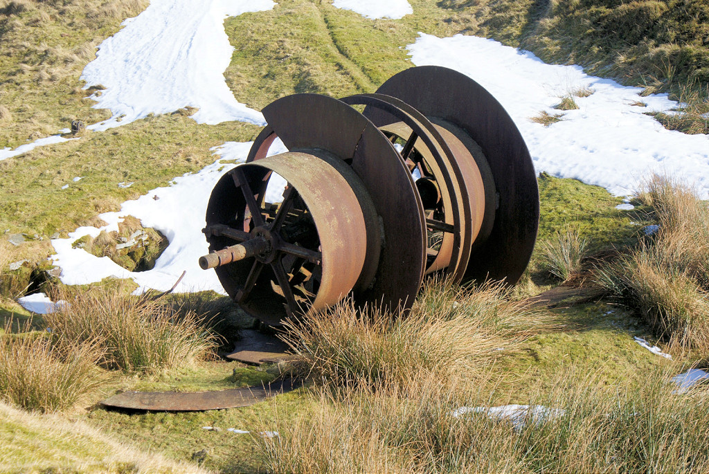 Coity Quarry winding drum |
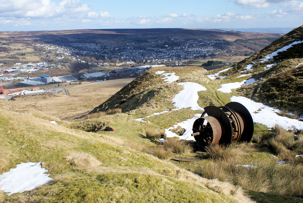 Coity Quarry winding drum |
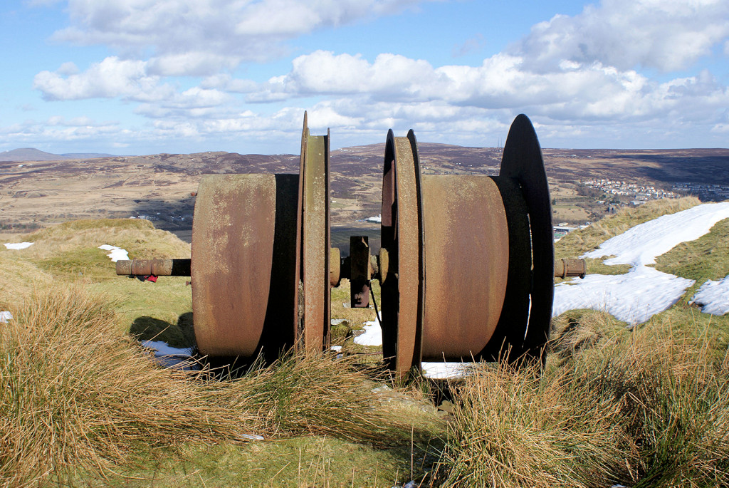 Coity Quarry winding drum |
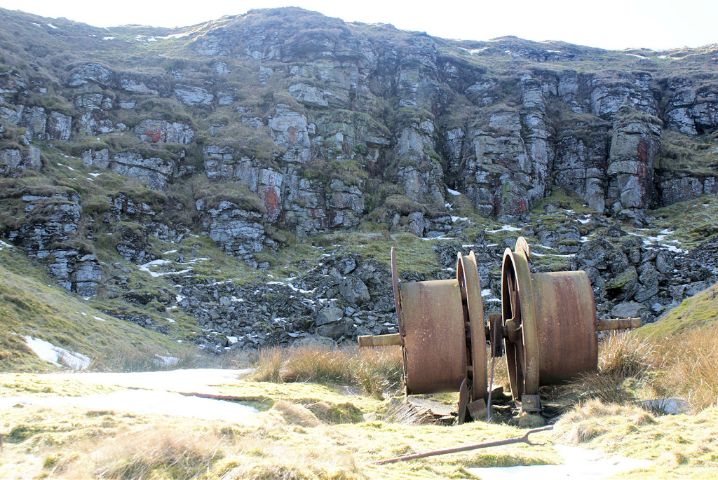 Coity Quarry winding drum |
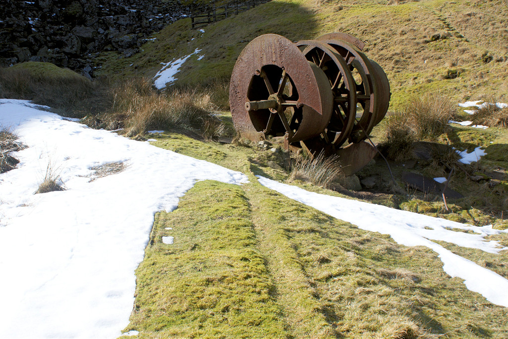 Coity Quarry winding drum |
 Coity Quarry rails |
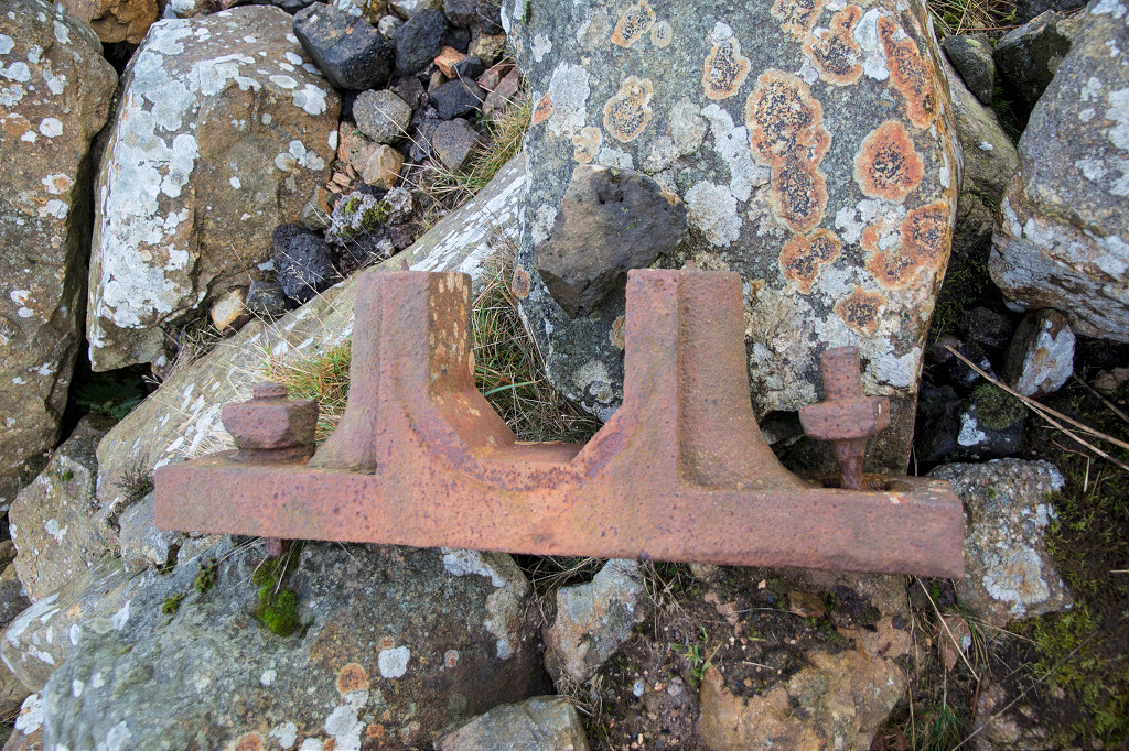
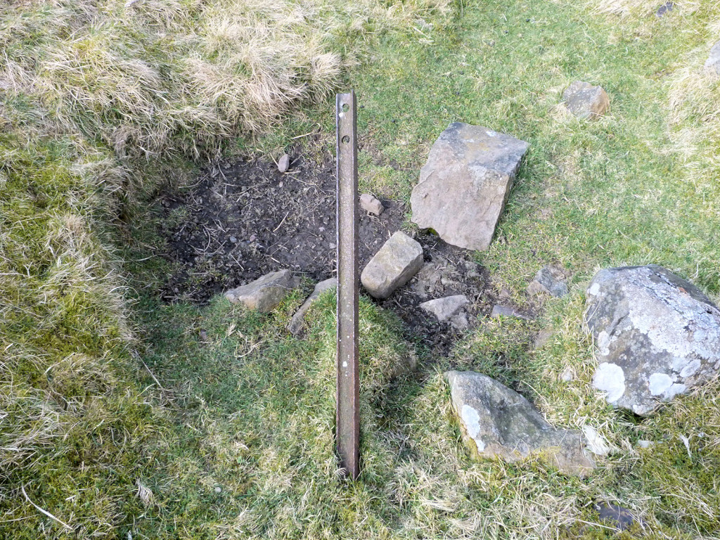
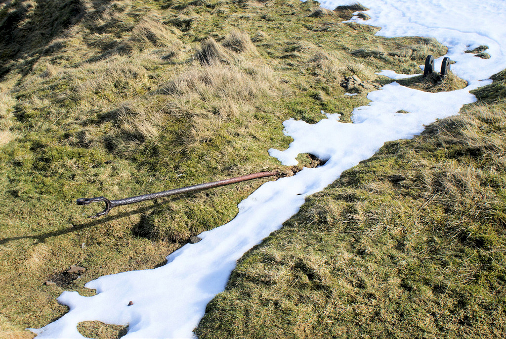 Coity Quarry ironwork |
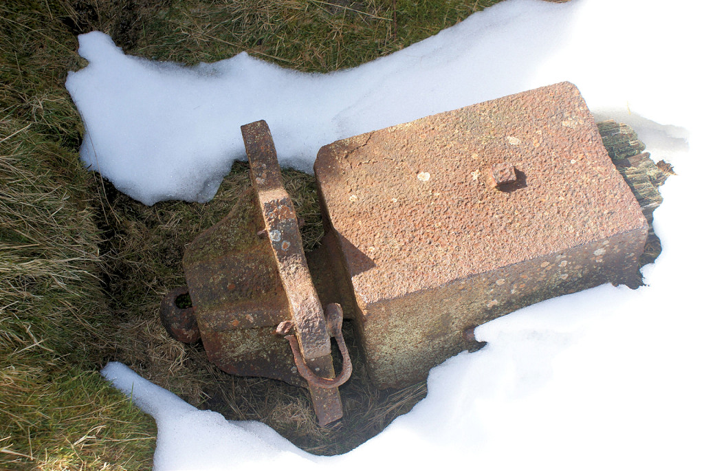 Coity Quarry ironwork |
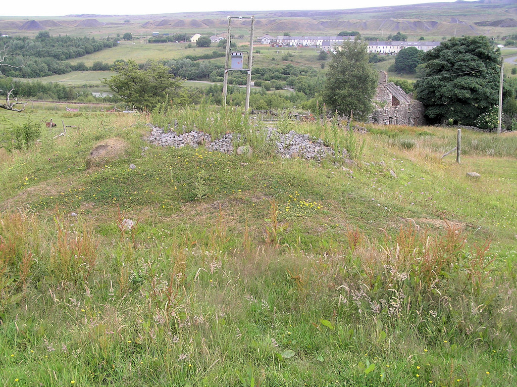
 Coity Farm, Blaenavon |
 Coity Farm, Blaenavon |
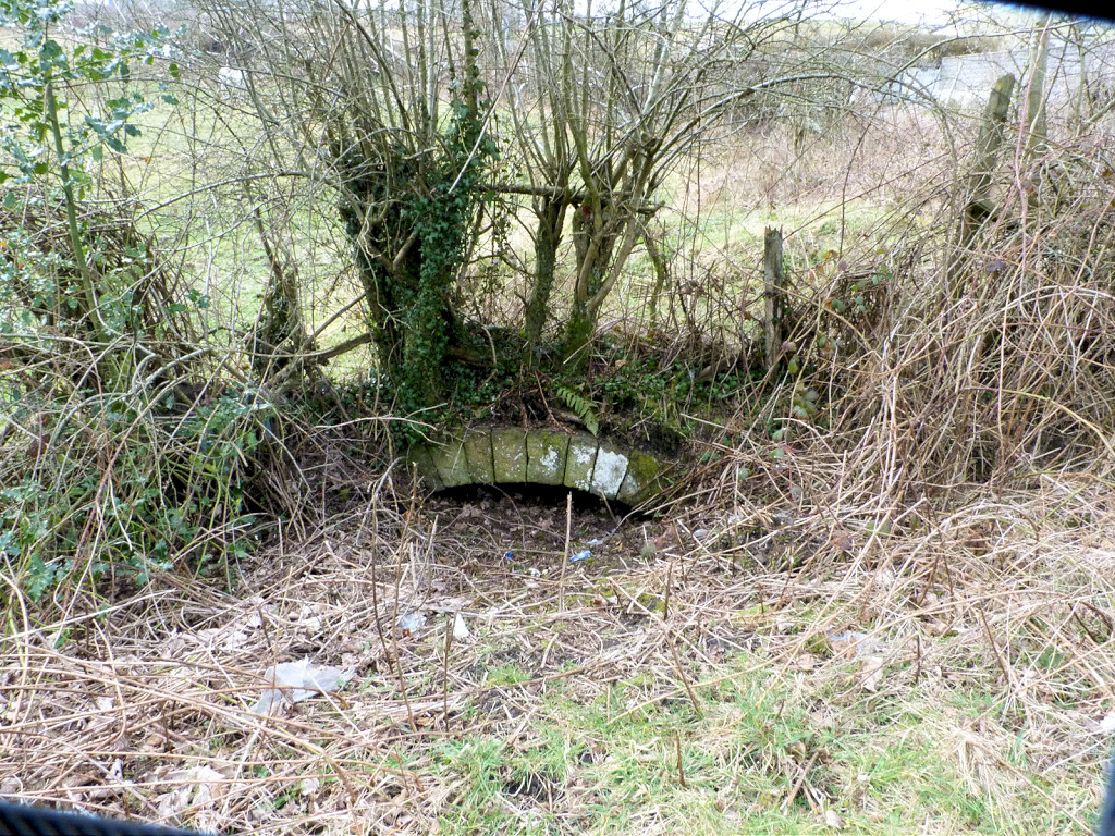
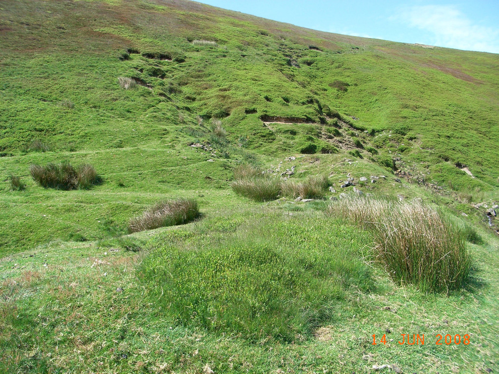
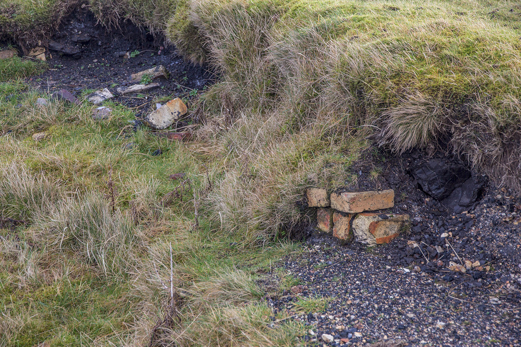
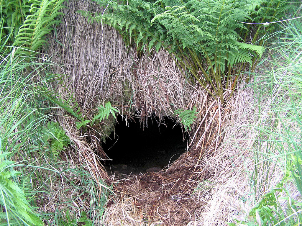 Coity Farm drainage level |
 Coity Farm drainage level |
 Coity Farm drainage level |
 Coity Farm drainage level |
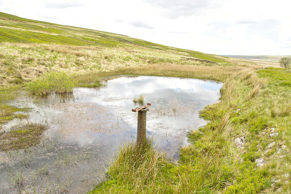
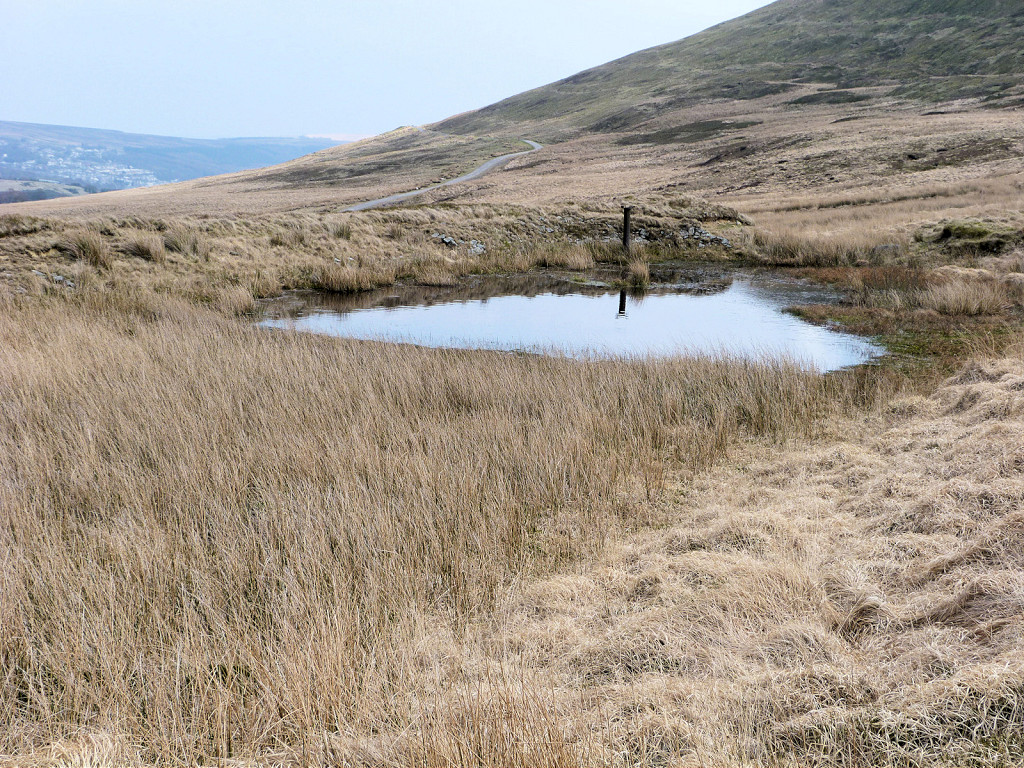
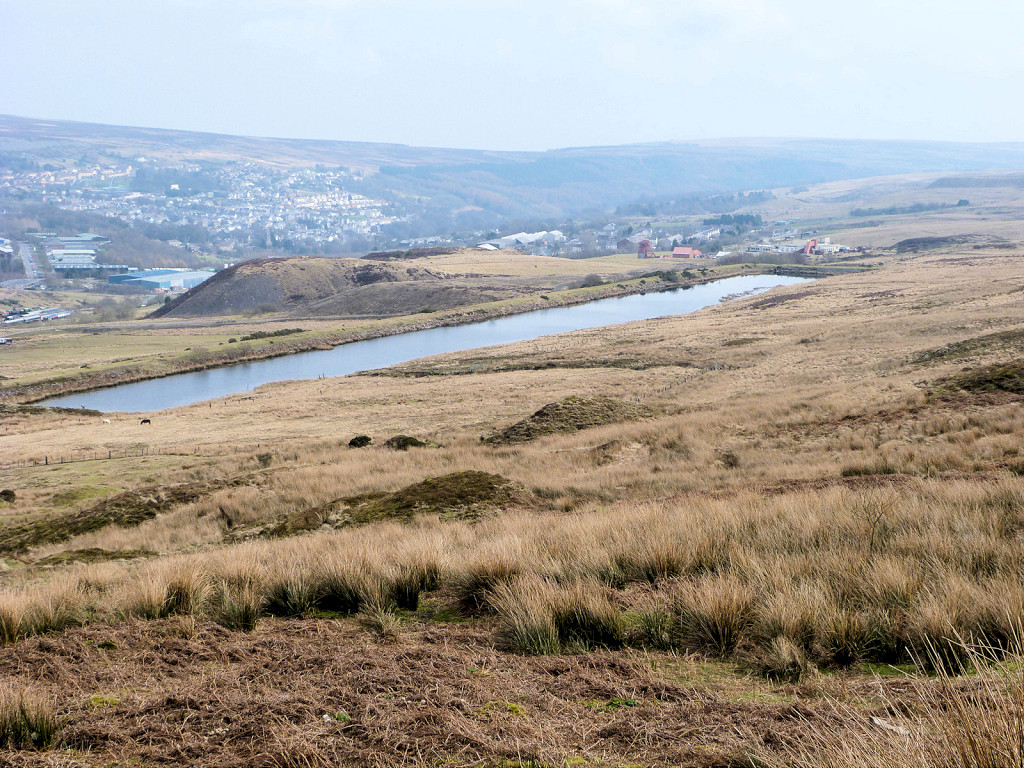 Coity reservoir, Blaenavon |
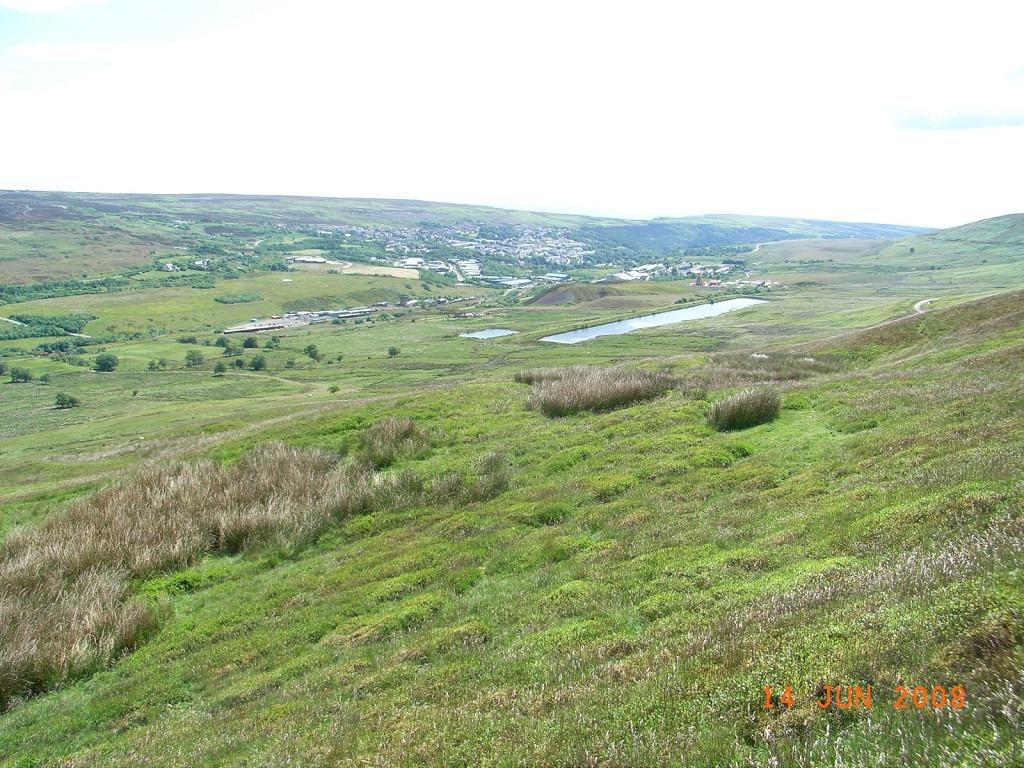 Coity reservoir from Cefn Coch |
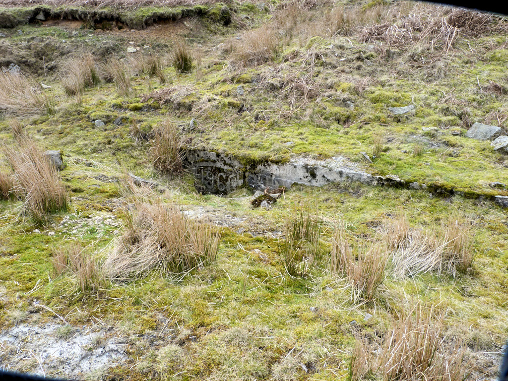
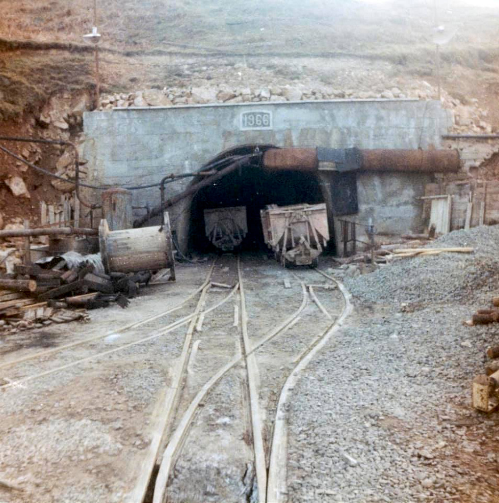 Blaentillery 1966 Level in 1967 |
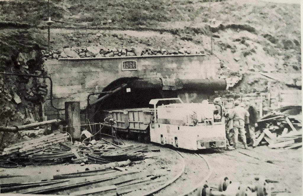 Blaentillery 1966 Level in 1967 |
|
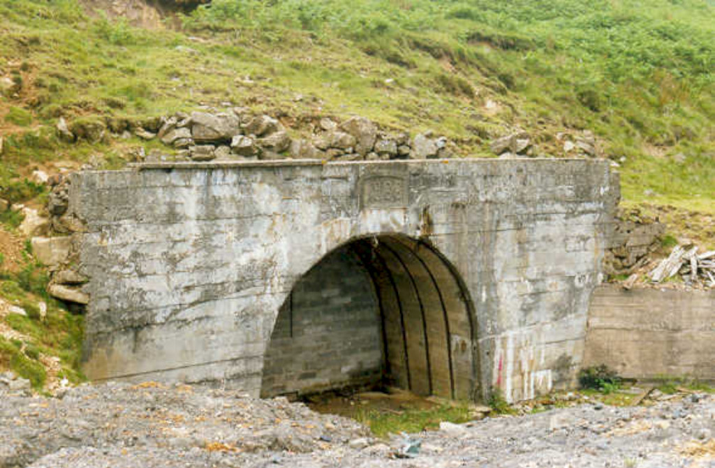 Blaentillery 1966 Level in 1990 |
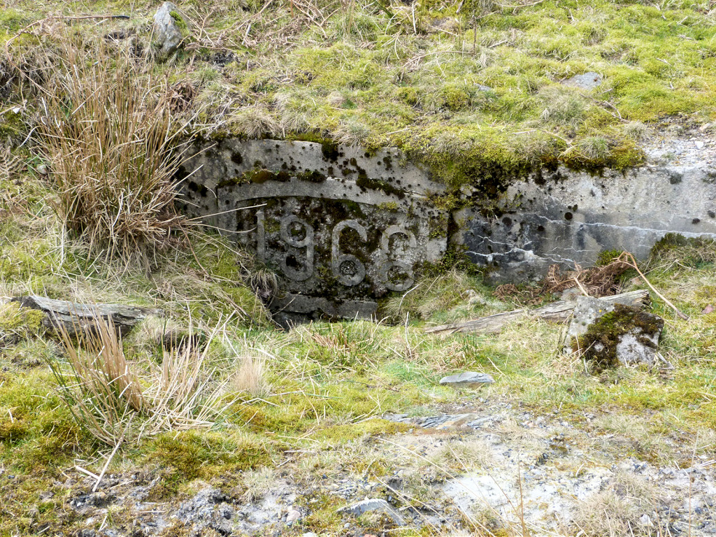 Blaentillery 1966 Level in 2011 |
 Blaentillery 1966 Level in 2011 |
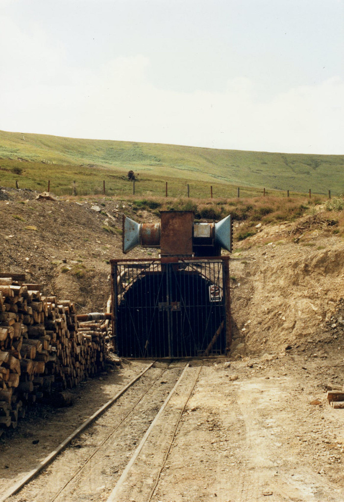
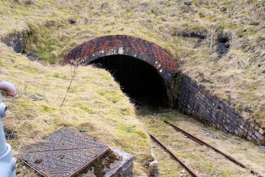
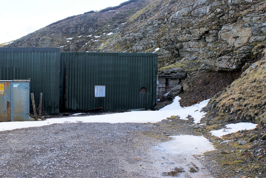
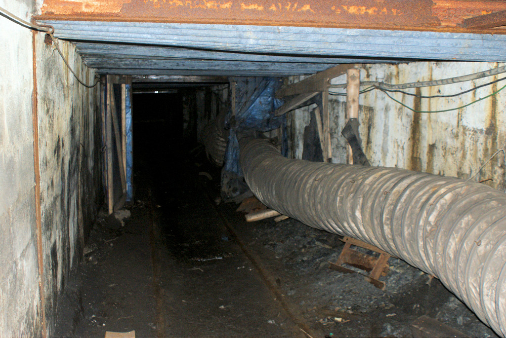
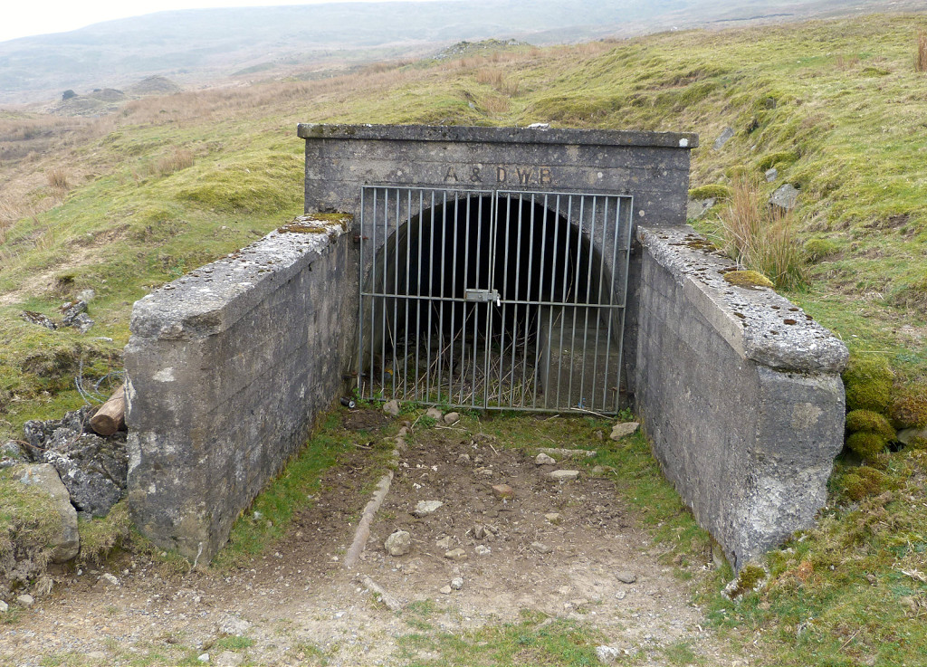
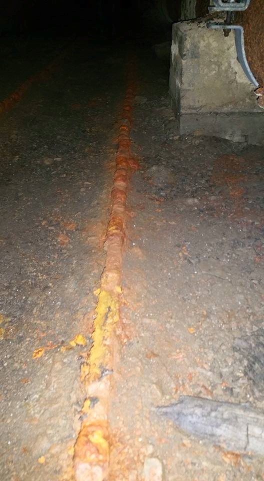
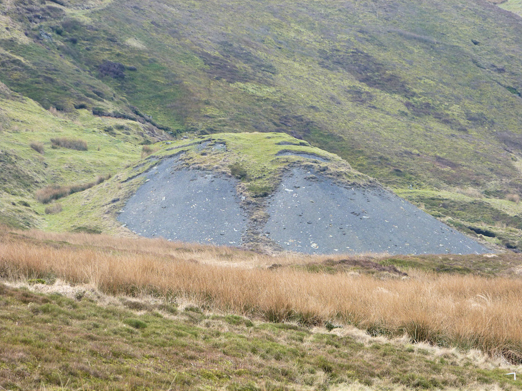
 ADWB pipeline tunnel tips |
 ADWB pipeline tunnel tips |
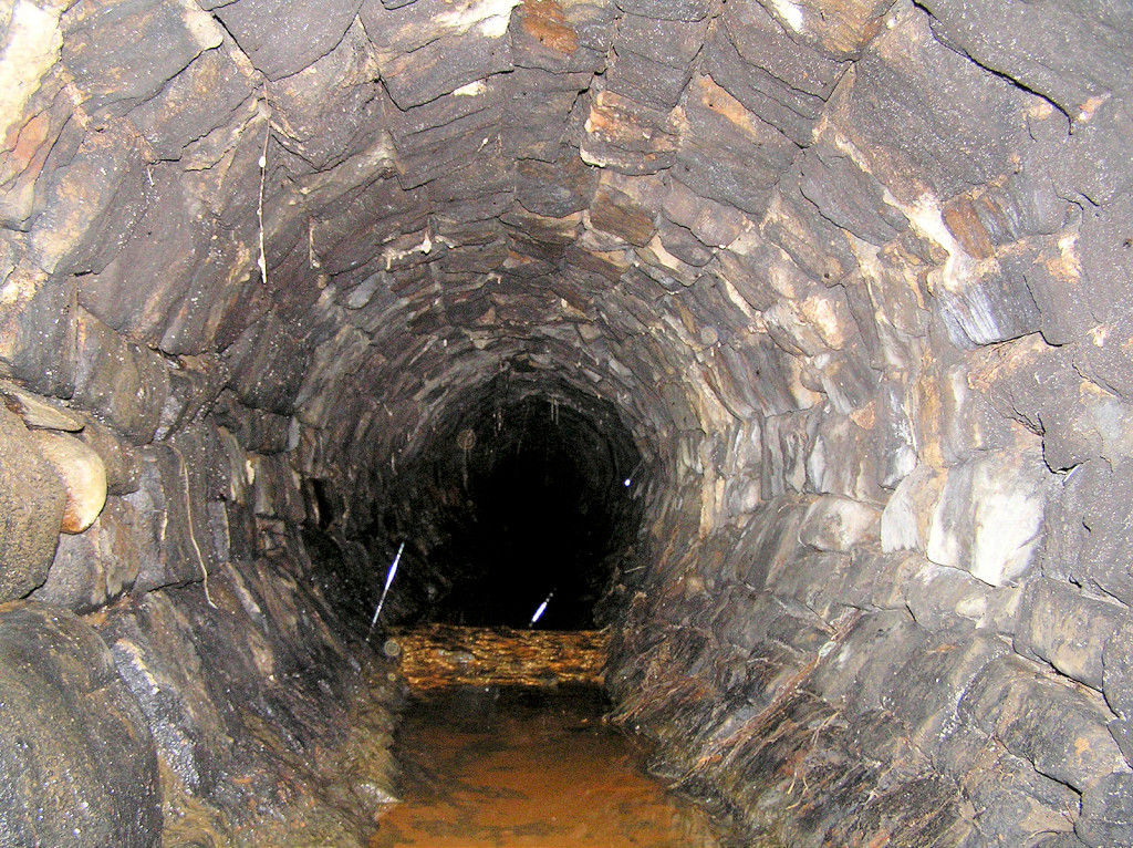
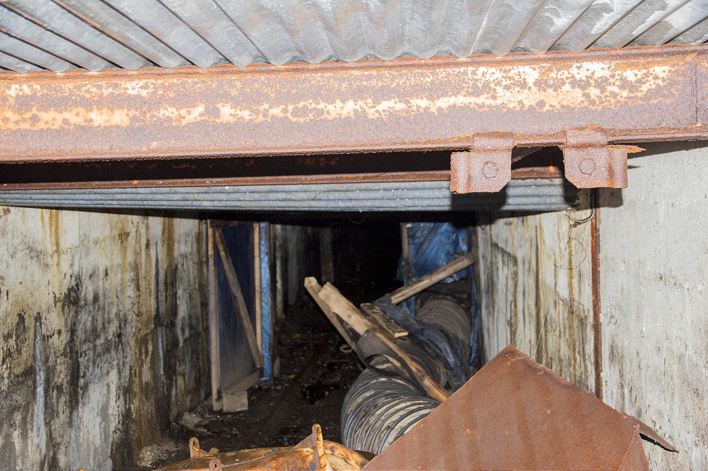
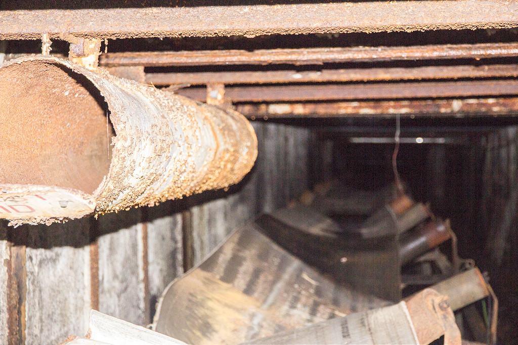
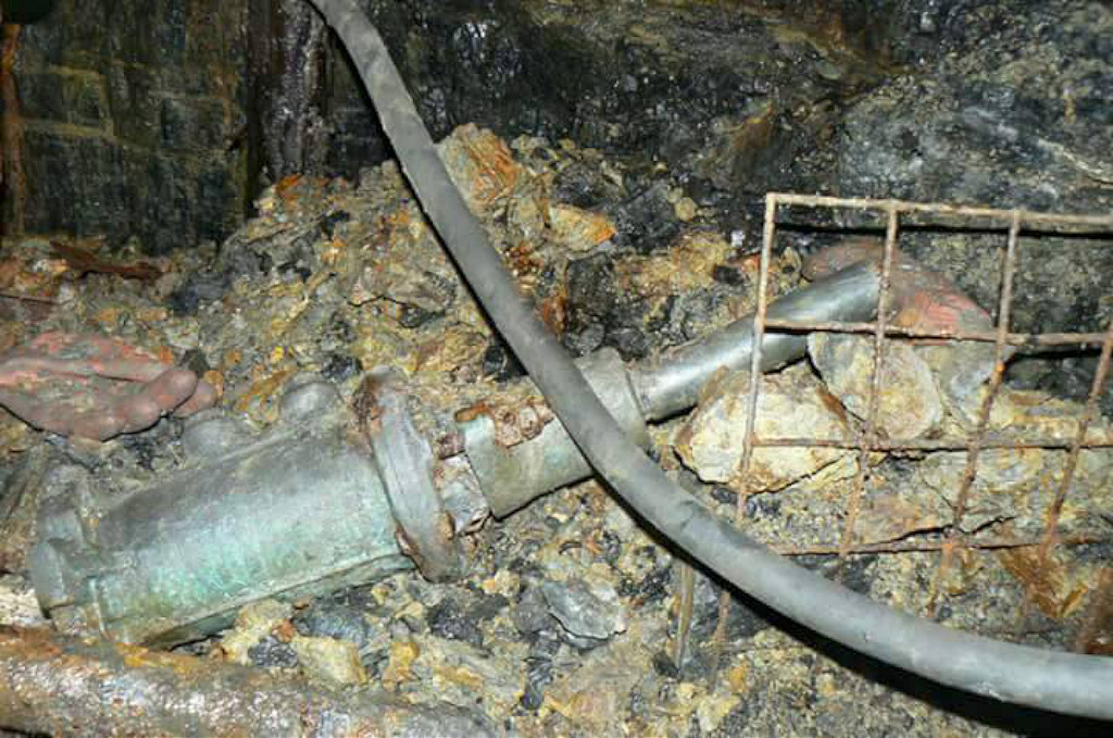
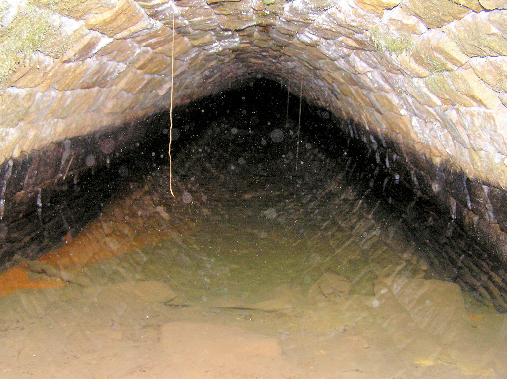
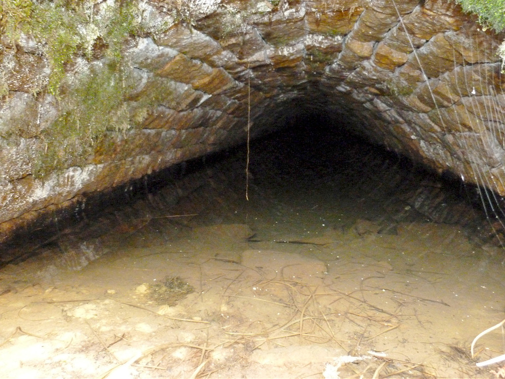
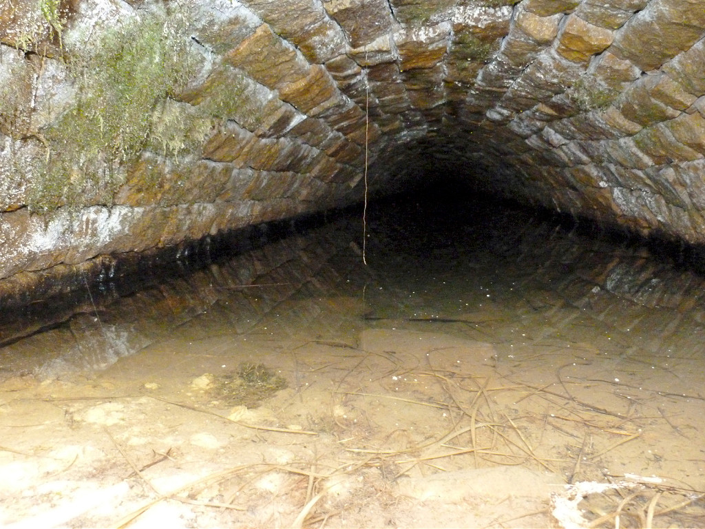
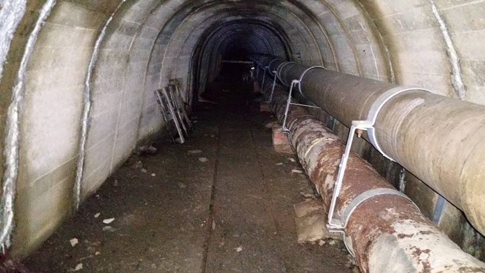
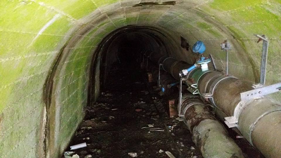
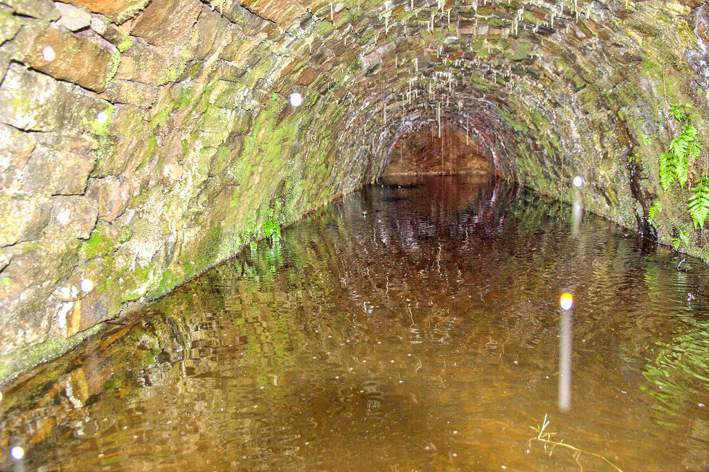
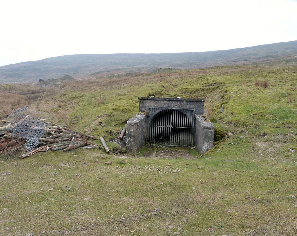 ADWB pipeline tunnel |
 ADWB pipeline tunnel |
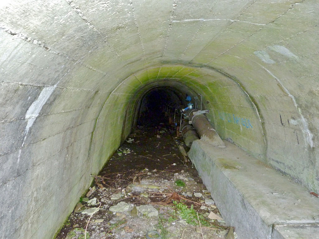 ADWB pipeline tunnel |
 ADWB pipeline tunnel |
 ADWB pipeline tunnel |
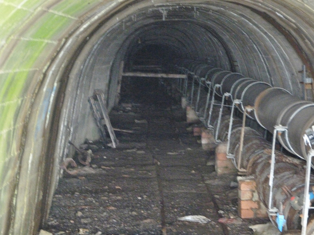
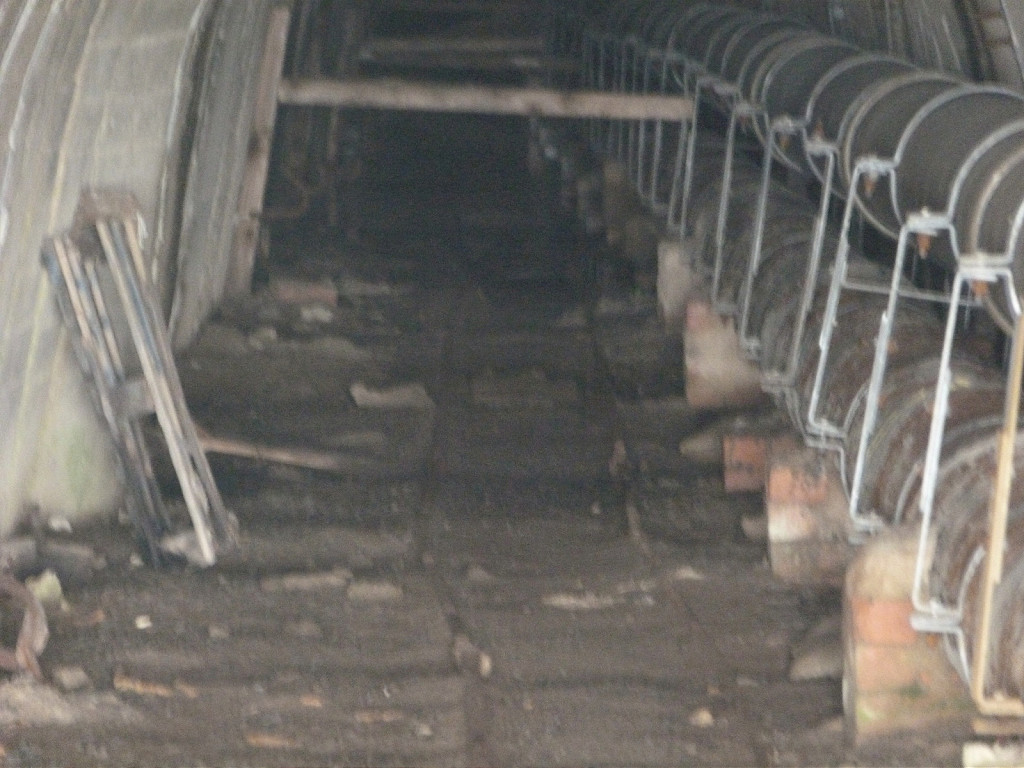
 ADWB pipeline tunnel tour |
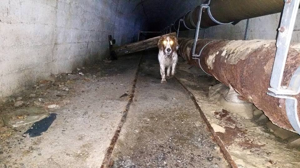 ADWB pipeline tunnel tour |
 ADWB pipeline tunnel tour |
 ADWB pipeline tunnel tour |
 ADWB pipeline tunnel tour |
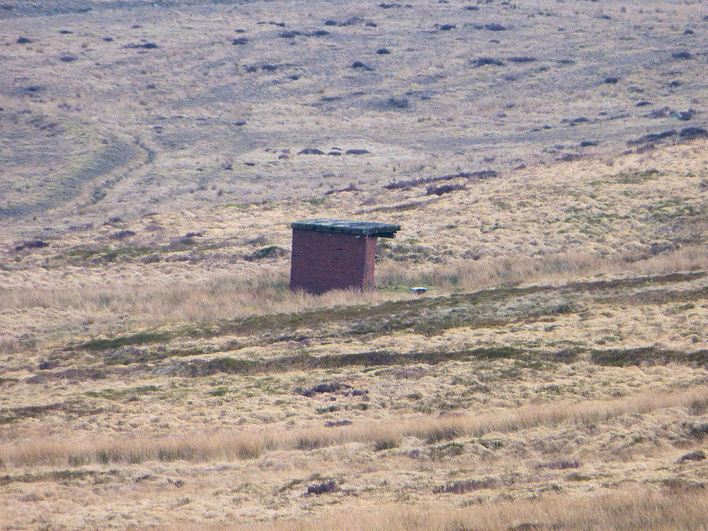
 Ty Rheinallt Farm, Coity |
 Ty Rheinallt Farm airshaft |
 Field Farm, Whistle Lane |
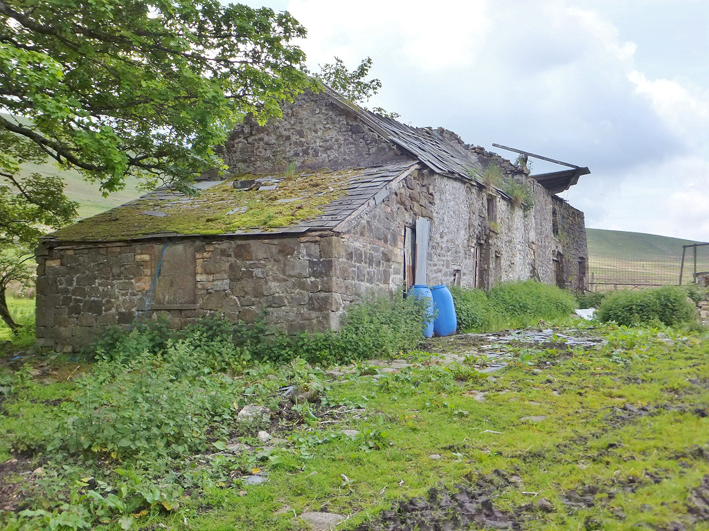 Field Farm, Whistle Lane |
 Waunavon Slope ironstone mine |
 Waunavon Slope ironstone mine |
 Waunavon Slope ironstone mine |
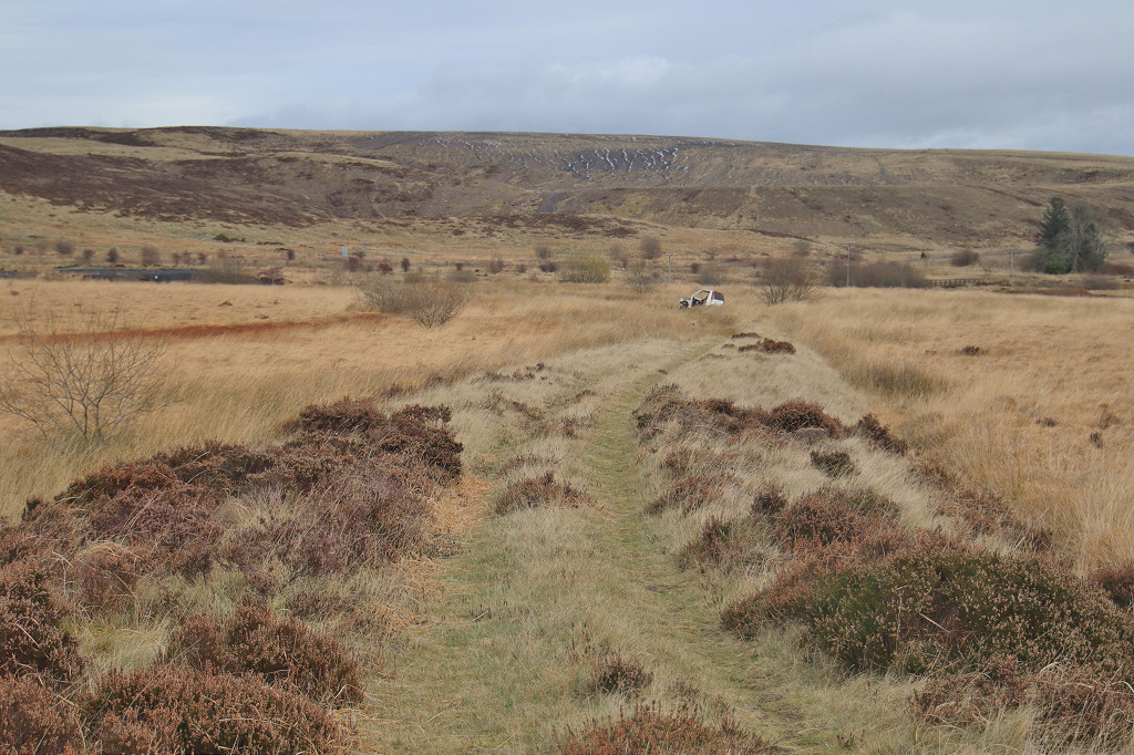
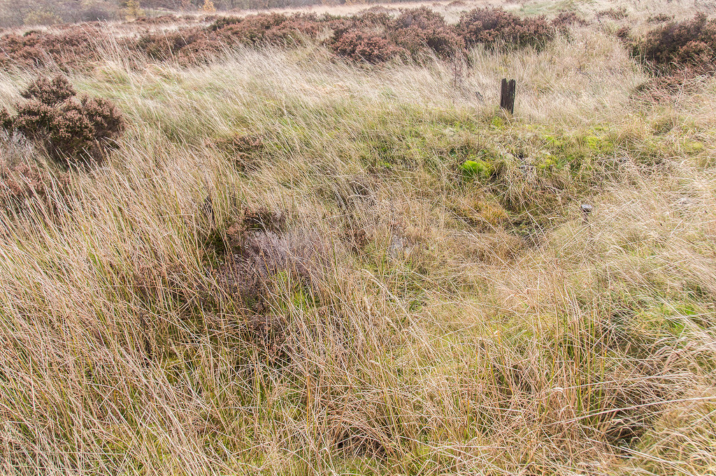
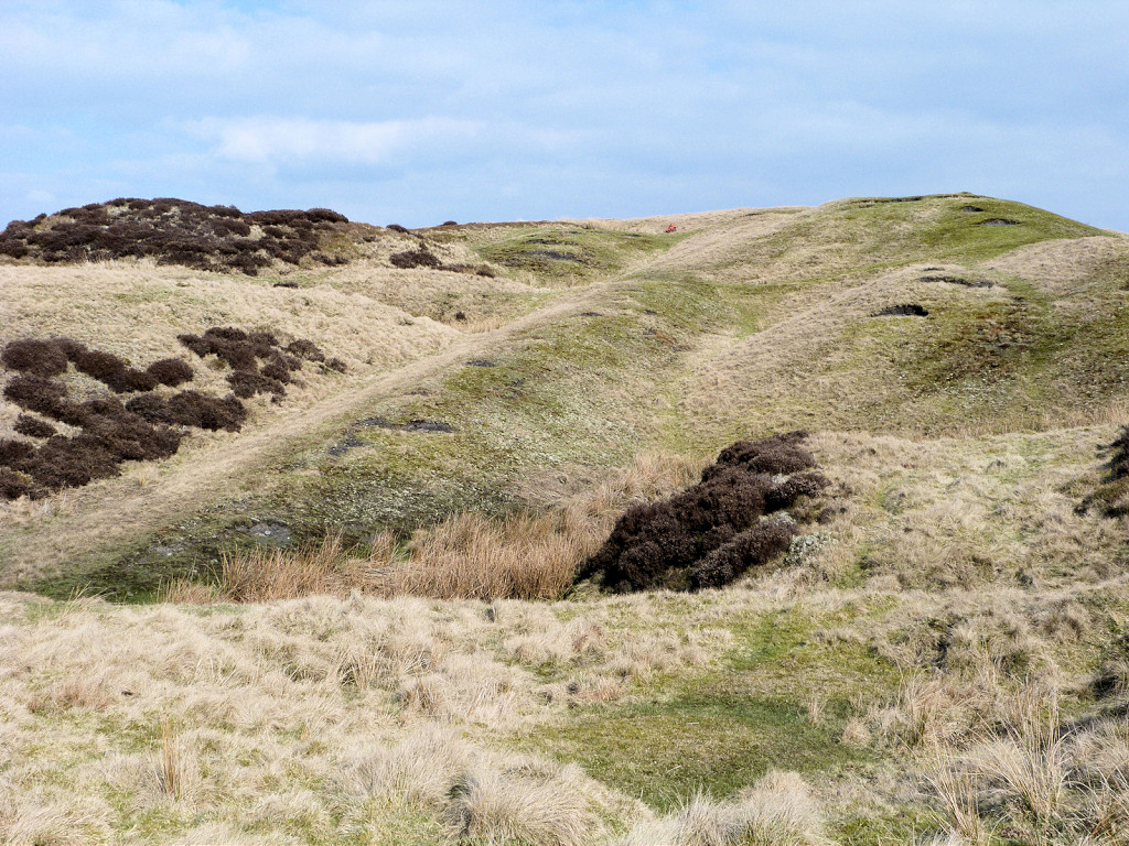
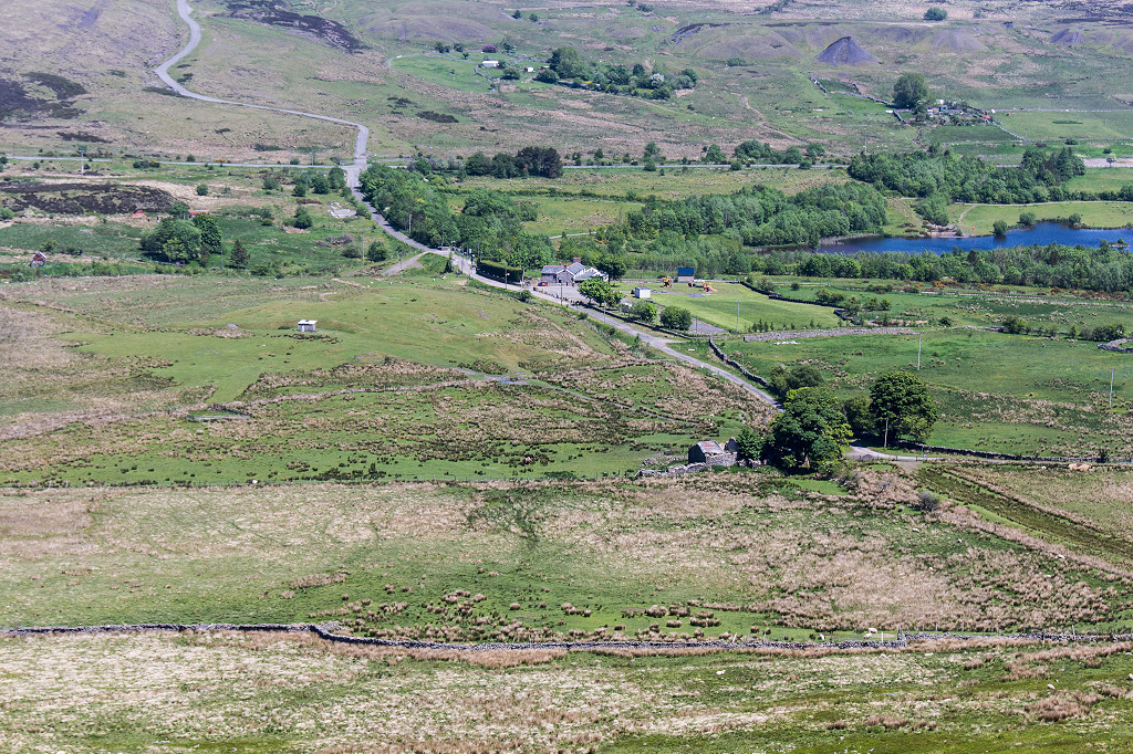 Whistle Inn area from above |
 Whistle Inn halt |
 Whistle Inn halt |
 Whistle Lane bridge |
 Whistle Lane underbridge |
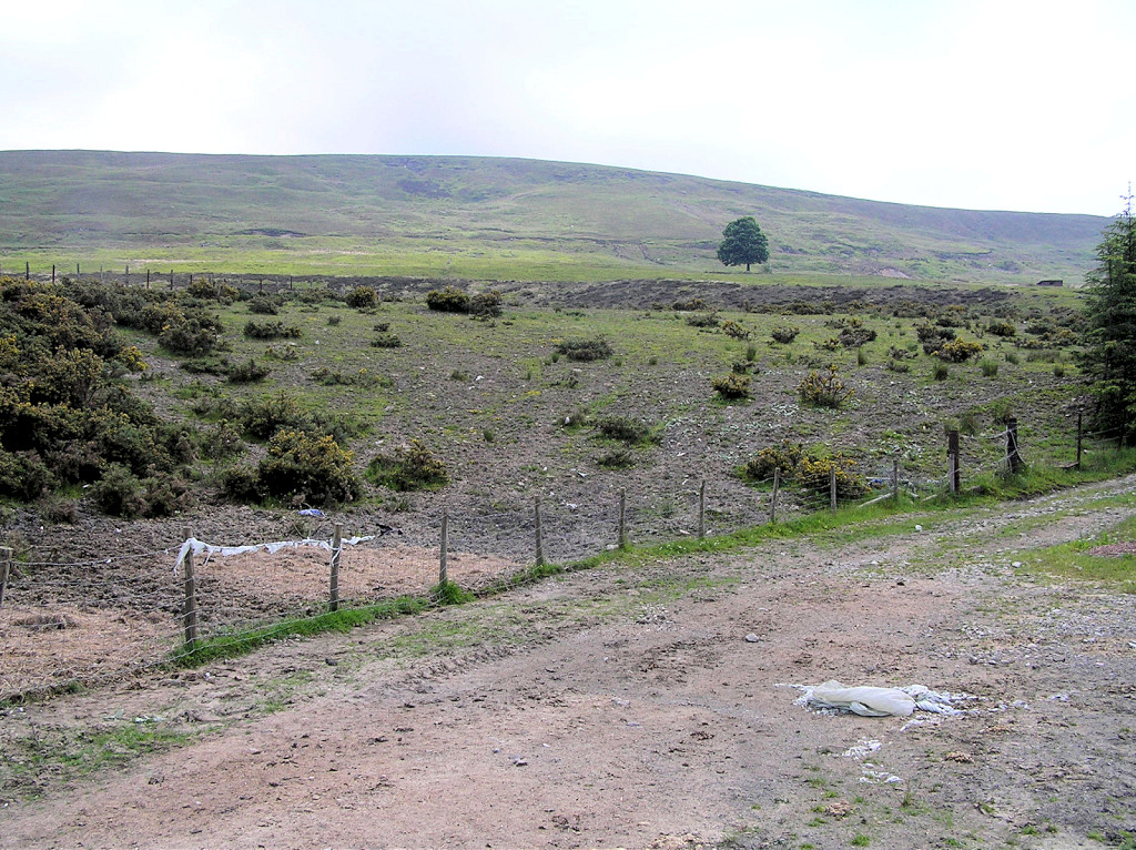
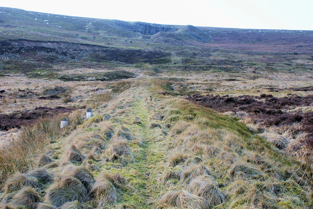
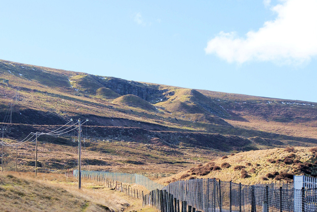
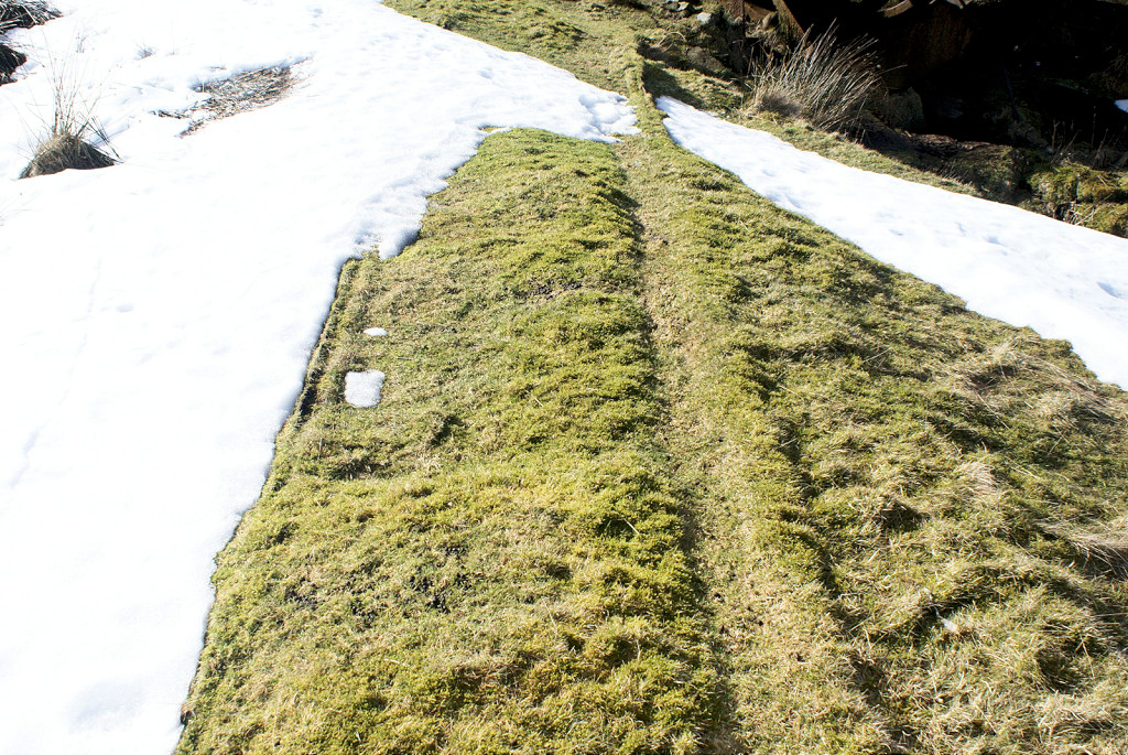
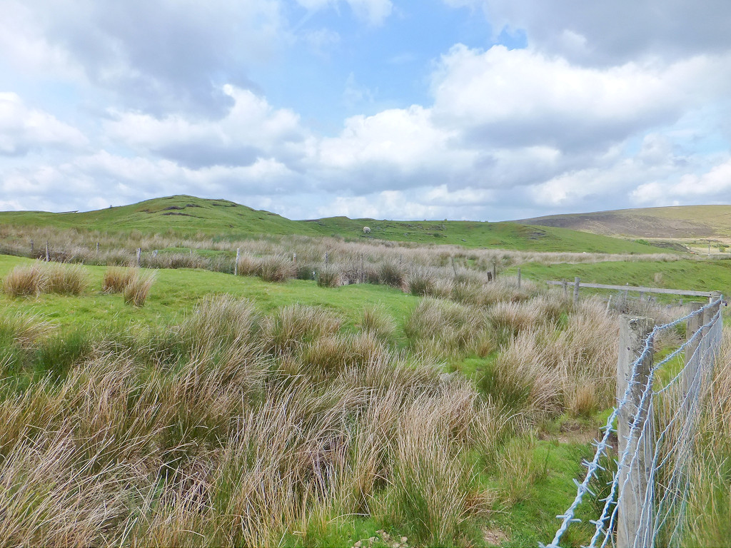
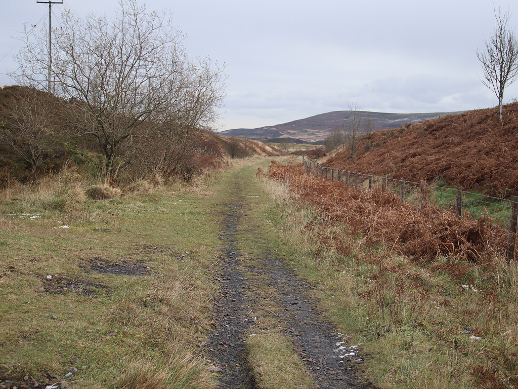
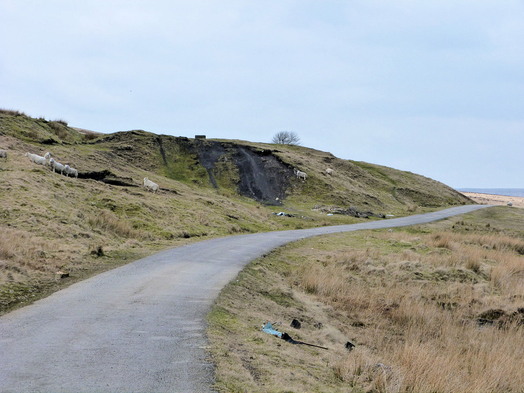
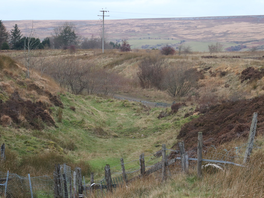
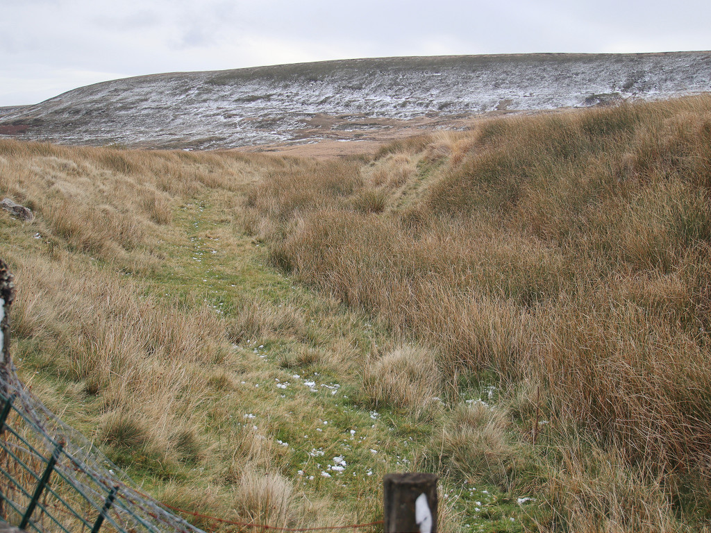
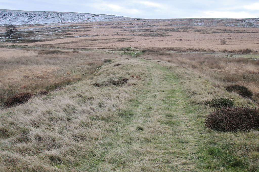
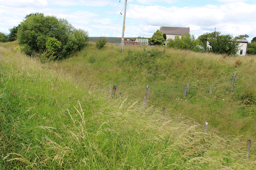
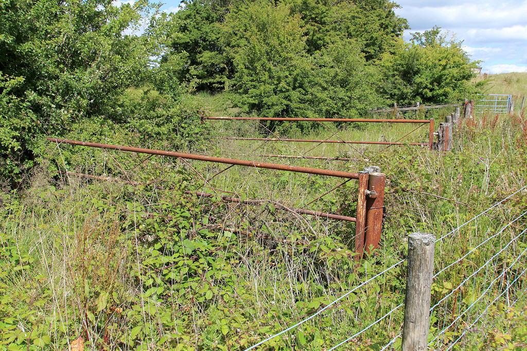
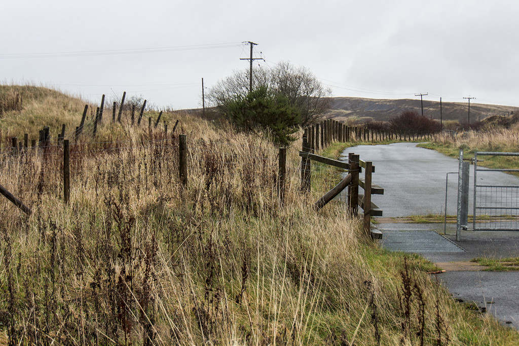
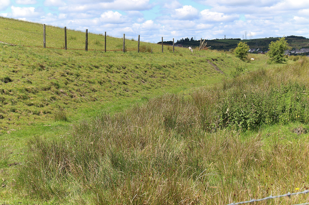
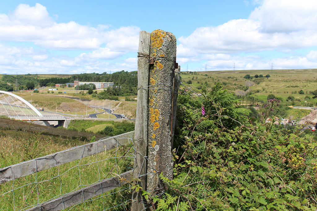
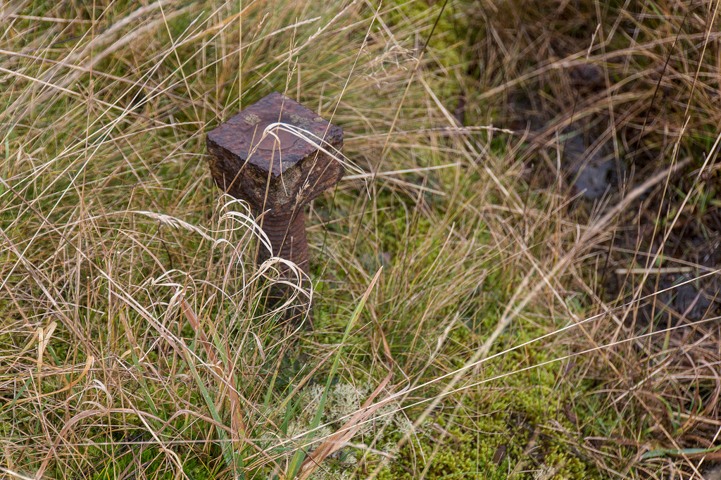
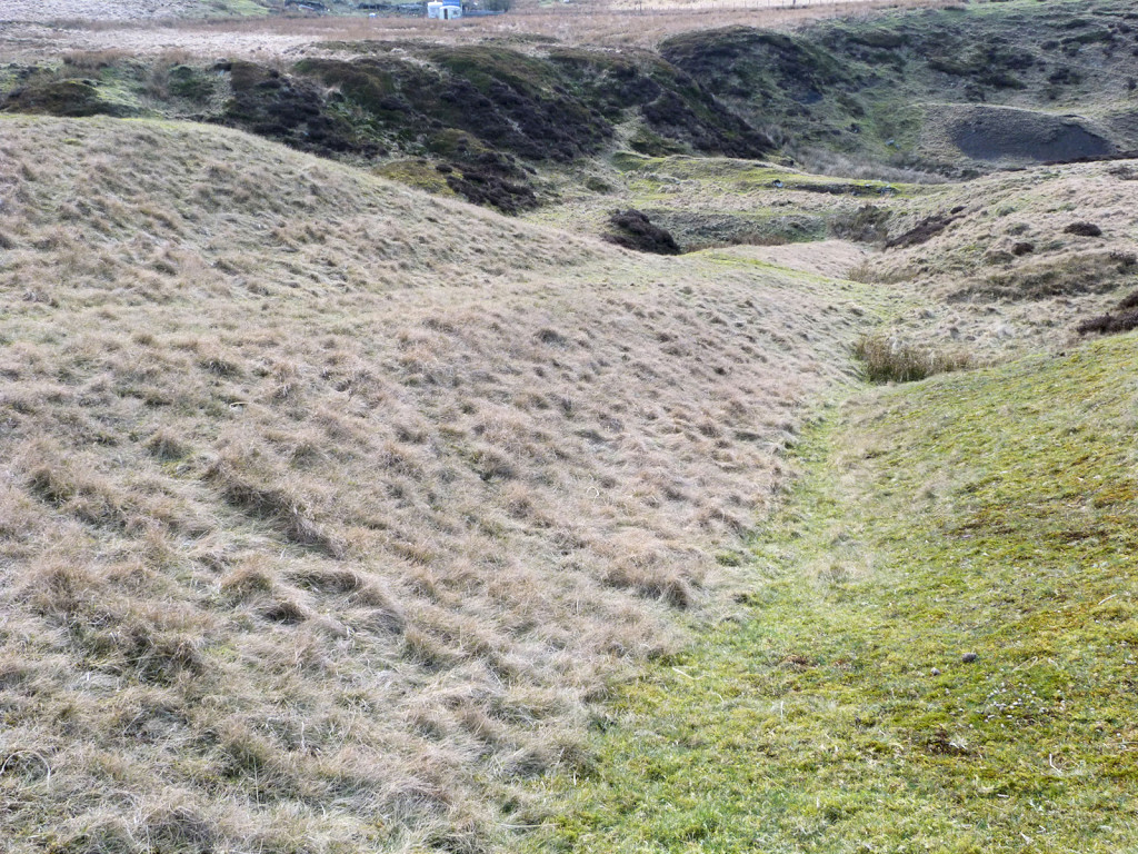
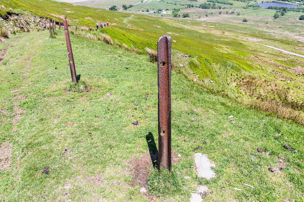 Coity footpath fence posts |
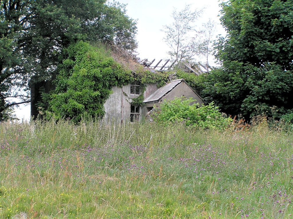
Pwrcas Cottages - SO 2283 1022A single cottage is shown on the 1841 tithe map. What remains is more modern, c19th, but it has deteriorated badly from 2010 to 2021, losing its roof and upper floor. |
 Pwrcas Cottages, Whistle Lane |
 Pwrcas Cottages, Whistle Lane |
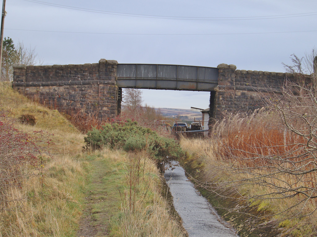
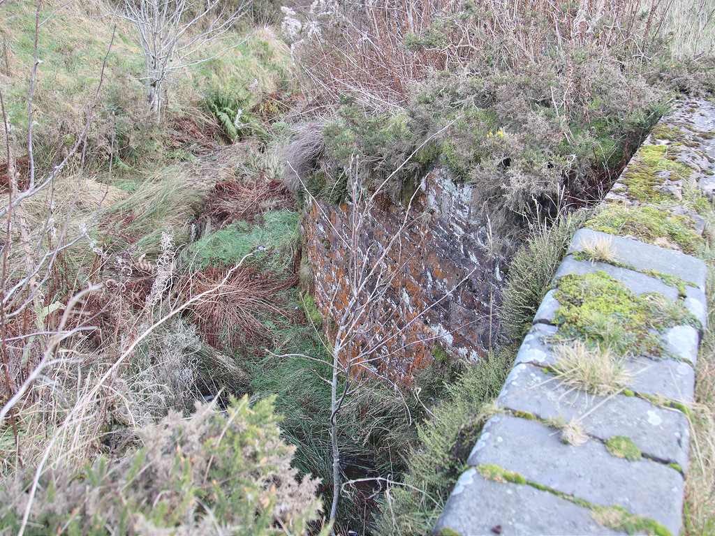
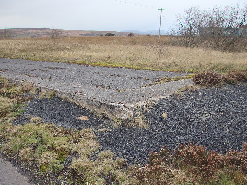
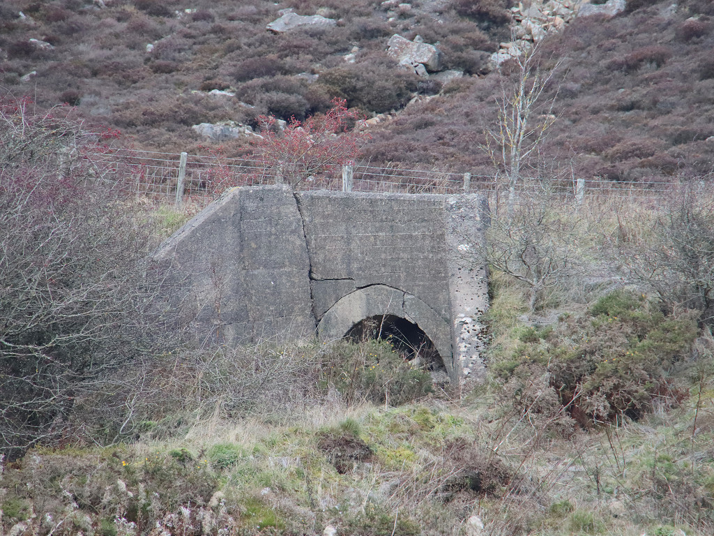
 Aqueduct over the LNWR |
 Aqueduct over the LNWR |
 Aqueduct over the LNWR |
 Aqueduct over the LNWR |
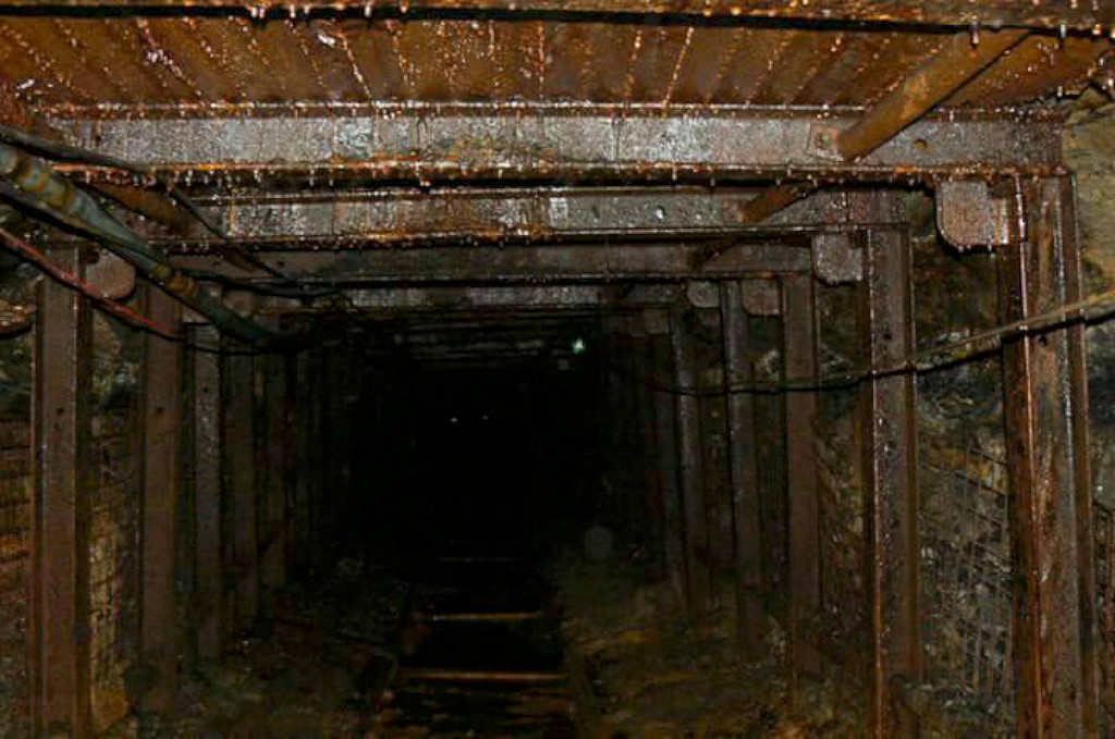
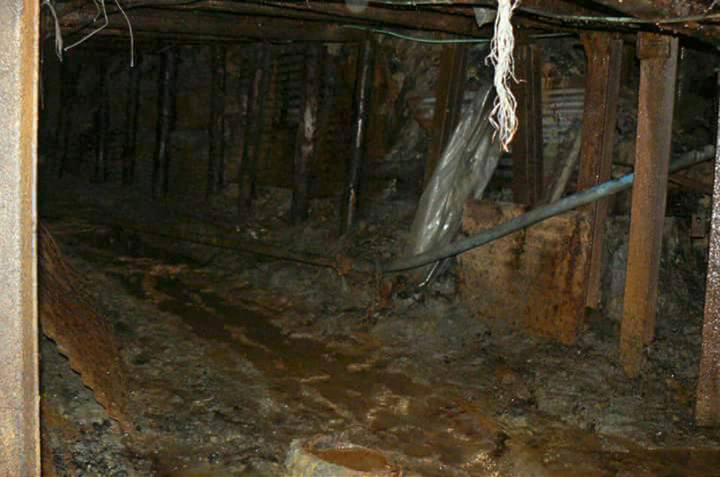
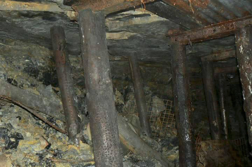
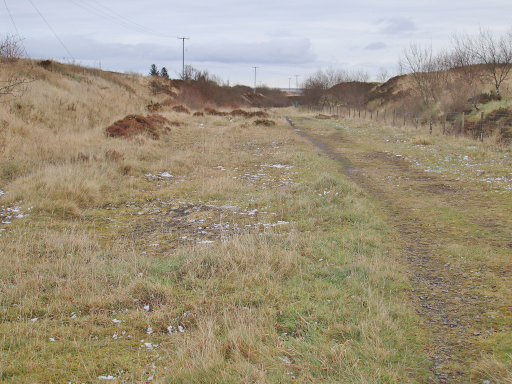
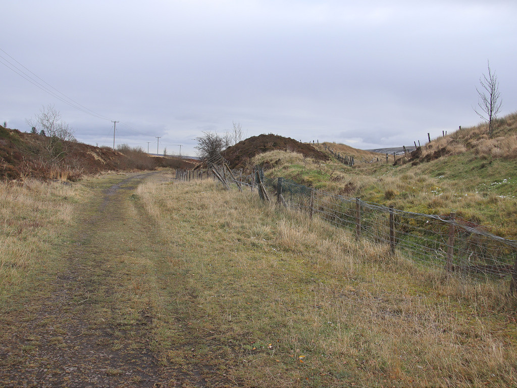
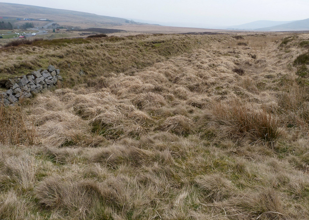
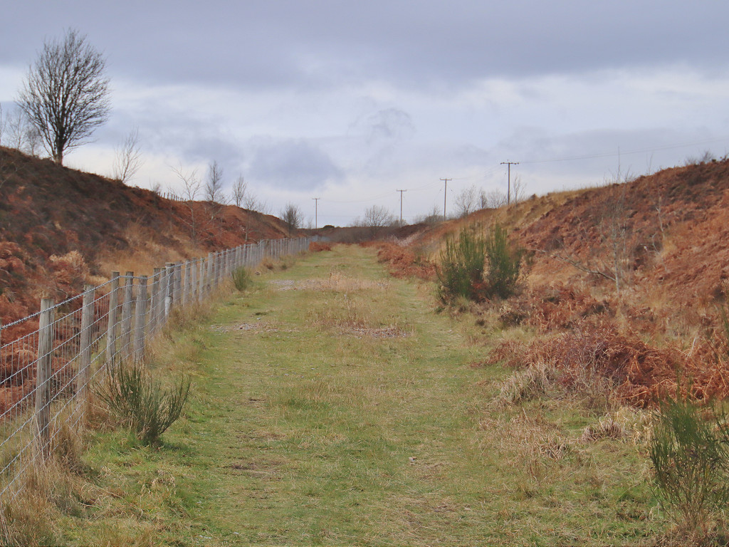 LNWR trackbed |
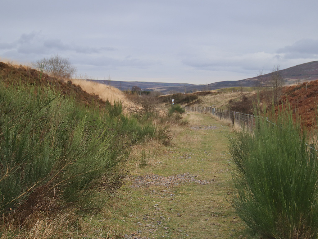 LNWR trackbed |
 LNWR trackbed |
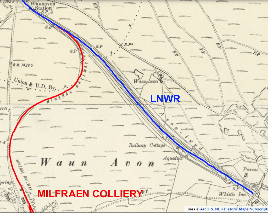
 LNWR sidings for Milfraen Colliery |
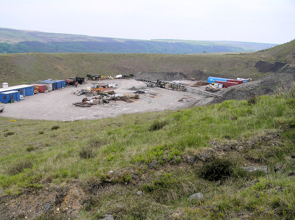
 Opencast loading area, Waunavon |
 Opencast buildings, Waunavon |
 Opencast loading area, Waunavon |
 Opencast loading area, Waunavon |
 Opencast loading area, Waunavon |
 Opencast loading area, Waunavon |
 Opencast loading area, Waunavon |
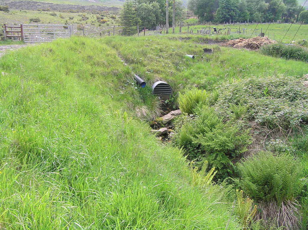
 Opencast culvert |
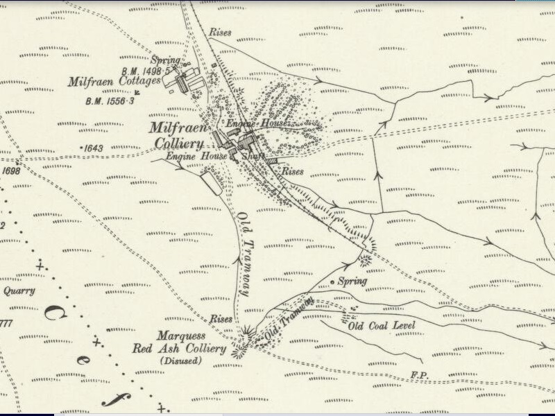 Marquess Red Ash Colliery, 1915 |
 Marquess Red Ash Colliery levels |
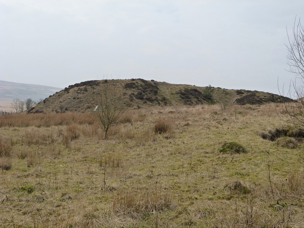
 Marquess Red Ash Colliery tips |
 Tramway from Milfraen Colliery |
 Tramway to Milfraen Colliery |
 Tramway to lower level |
 Marquess Red Ash drainage level |
 Marquess Red Ash drainage level |
 Marquess Red Ash drainage level |
 Marquess Red Ash Colliery |
 Marquess Red Ash Colliery |
 Marquess Red Ash Colliery |
 Marquess Red Ash Colliery |
 Marquess Red Ash Colliery |
|
Milfraen Colliery, 1915 |
 Milfraen Colliery reservoir |
 Milfraen Colliery reservoir |
 Milfraen Colliery reservoir |
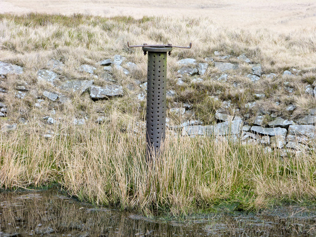
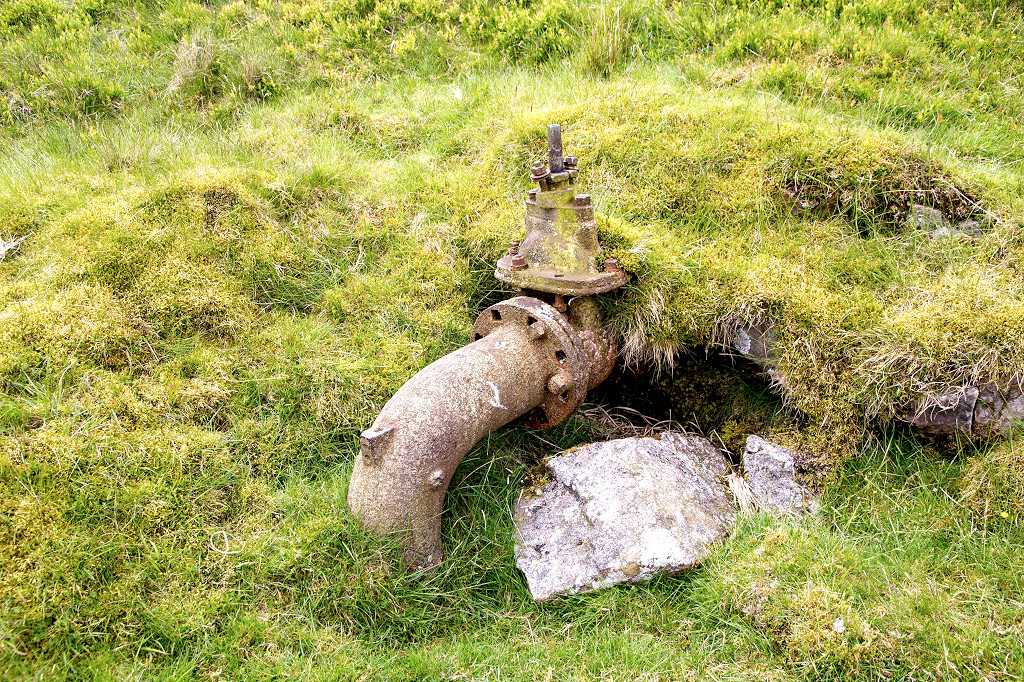 Milfraen reservoir outlet valve |
 Milfraen Colliery engine house |
 Milfraen Colliery engine house |
 Milfraen Colliery engine house |
 Milfraen Colliery engine house |
 Milfraen Colliery engine house |
 Milfraen Colliery tramplate |
|
 Milfraen Colliery foundations |
 Milfraen Colliery foundations |
 Milfraen Colliery foundations |
 Milfraen Colliery ruins |
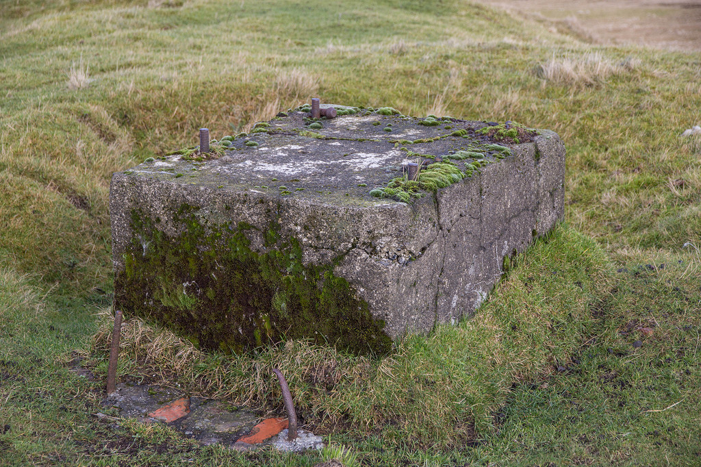 Milfraen Colliery headgear base |
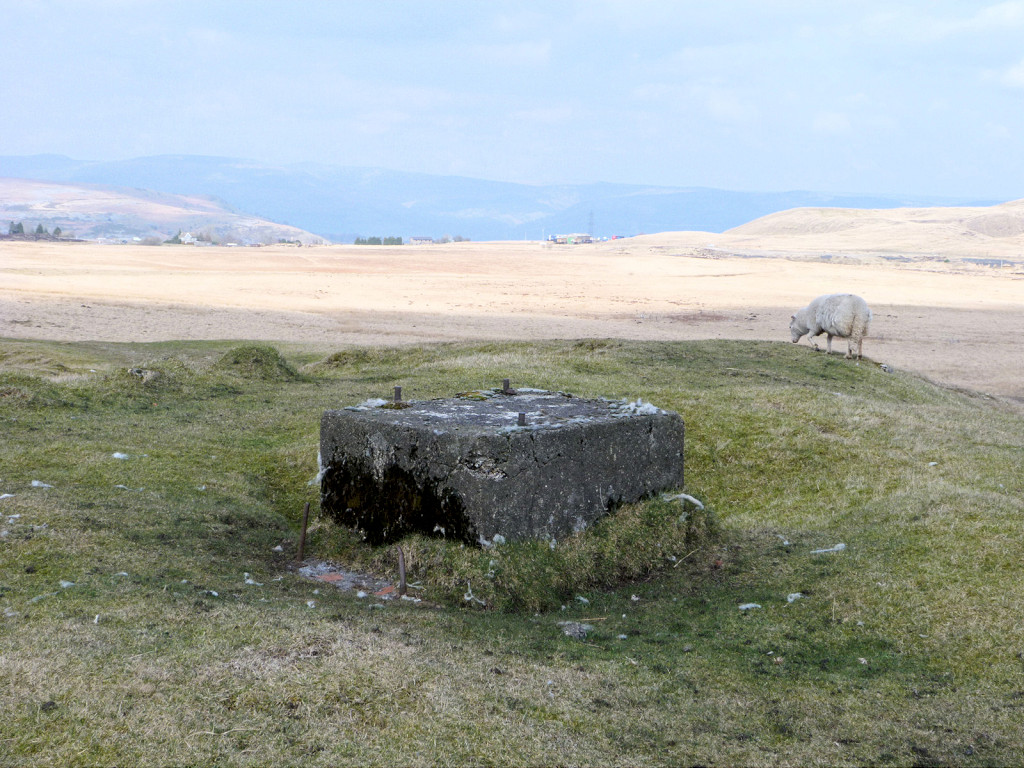 Milfraen Colliery headgear base |
 Milfraen Colliery shafts |
 Milfraen Colliery shafts |
 Milfraen Colliery shafts |
 Milfraen Colliery shafts |
 Milfraen Colliery shaft |
 Milfraen Colliery shaft |
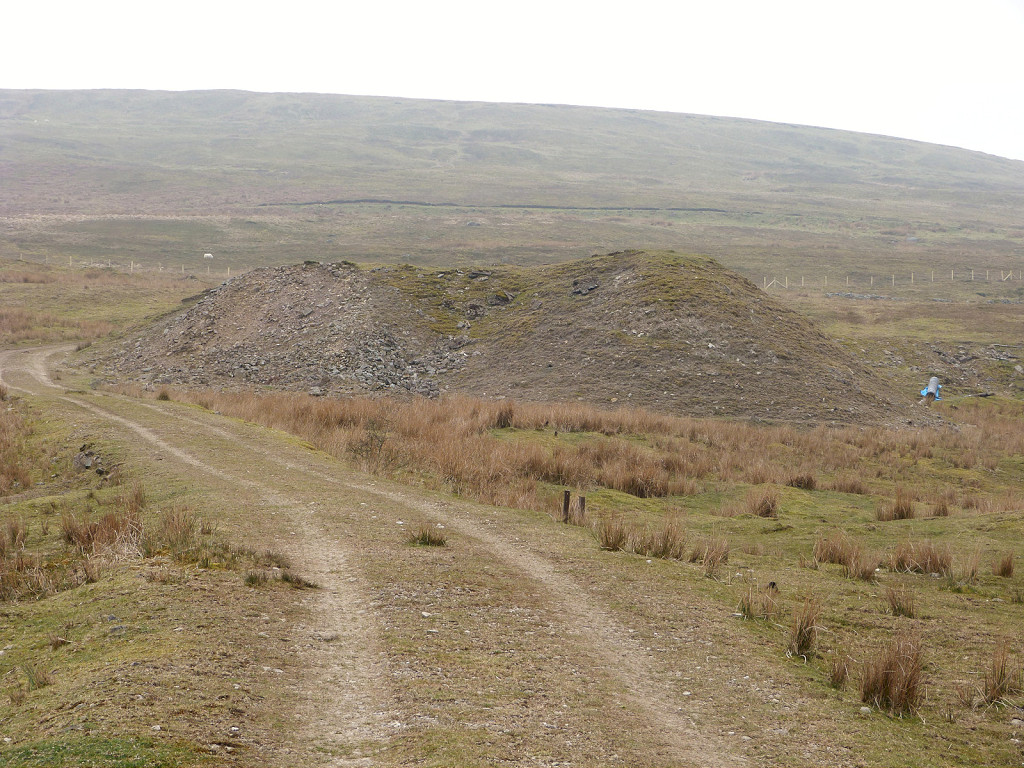
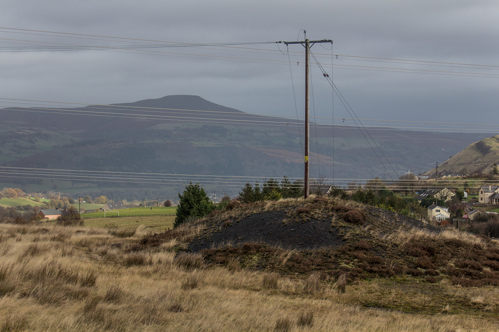
 Milfraen Colliery tips |
 Milfraen Colliery from Cefn Coch |
 Milfraen Colliery general view |
 Milfraen Colliery site from South |
 Milfraen Colliery railway |
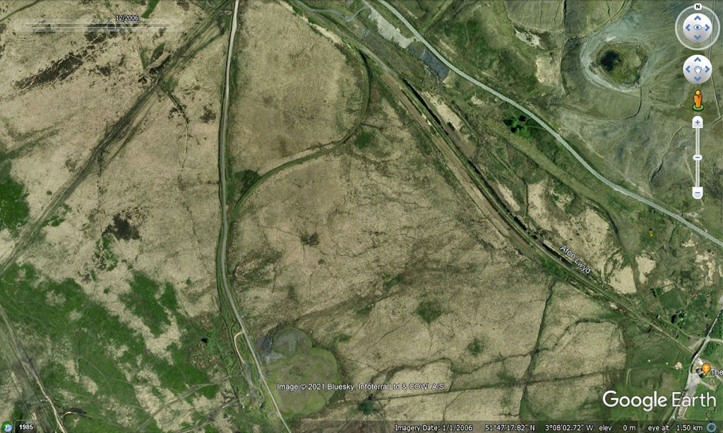 Milfraen Colliery railway |
 Milfraen Colliery LNWR junction |
 Milfraen Colliery LNWR junction |
 Milfraen Colliery LNWR junction |
 Milfraen Colliery branch |
 Milfraen Colliery railway |
 Milfraen Colliery railway |
 Milfraen Colliery railway |
 Milfraen Colliery railway |
 Milfraen Colliery railway |
 Milfraen Colliery railway |
 Milfraen Colliery railway |
 Milfraen Colliery railway |
 Milfraen Colliery branch |
 Milfraen Colliery branch |
 Waunavon Station dram |
 Waunavon Station dram |
 LNWR Brynmawr line trackbed |
 LNWR Brynmawr line trackbed |
 Overbridge abutments |
 Overbridge and trackbed |
 Branch to the Llammarch collieries |
 Branch to the Llammarch collieries |
 Llammarch sidings junction |
 Accommodation crossing |
 The trackbed hits the opencast |
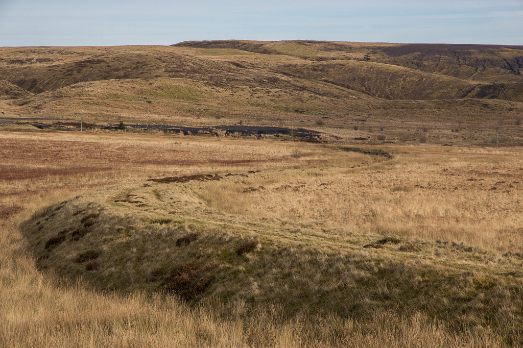
 A shadow of the trackbed |
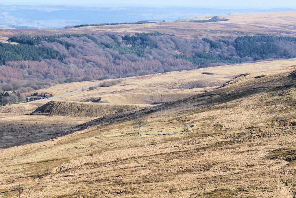
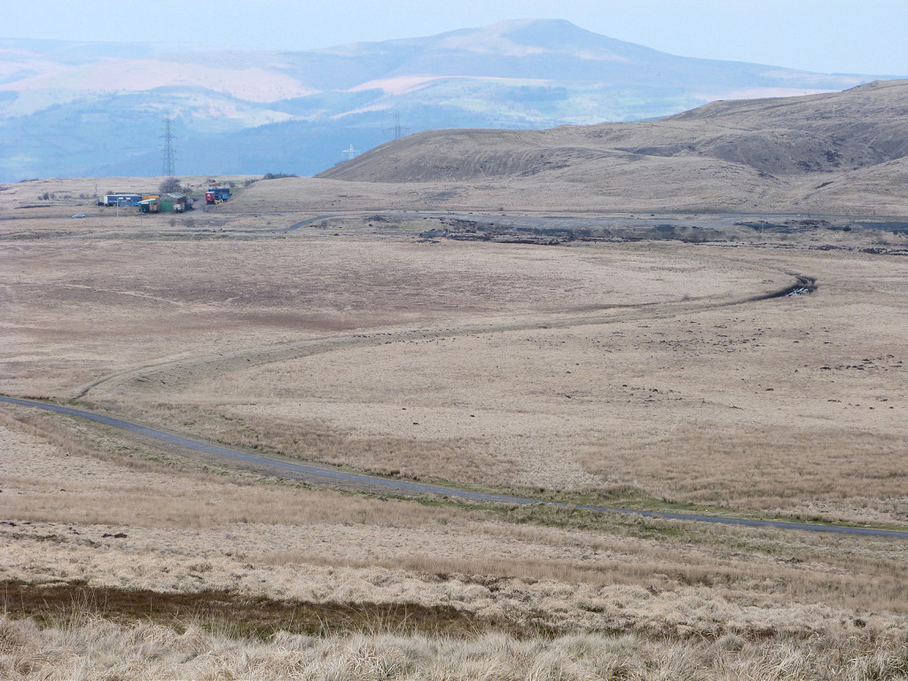
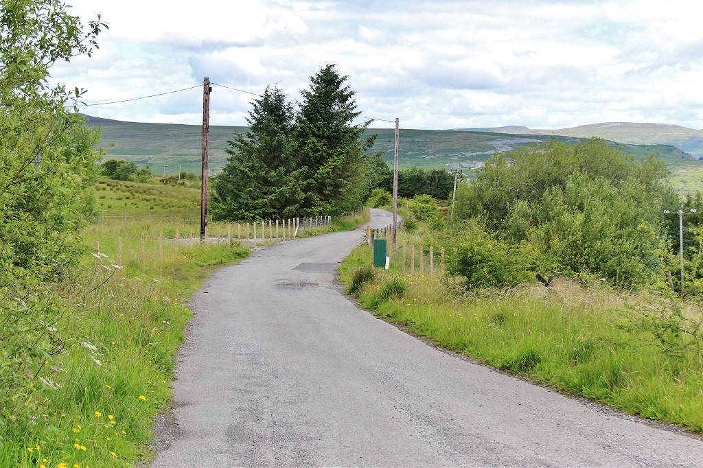
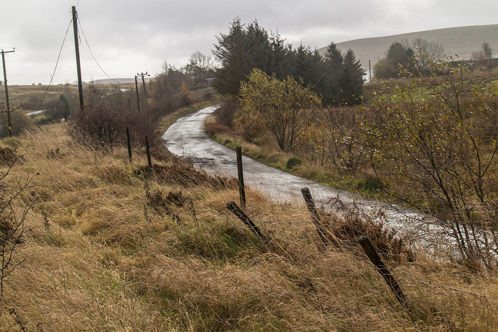
 Along the route to Brynmawr |
 Along the route to Brynmawr |
 Along the route to Brynmawr |
 Along the route to Brynmawr |
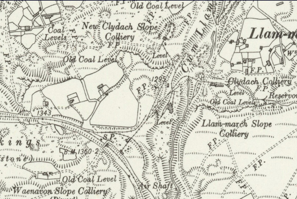 Llammarch collieries and sidings |
 New Clydach Slope Colliery |
 New Clydach Slope Colliery |
 New Clydach Slope Colliery |
 New Clydach Slope Colliery incline |
 New Clydach Slope Colliery incline |
 New Clydach Slope Colliery incline |
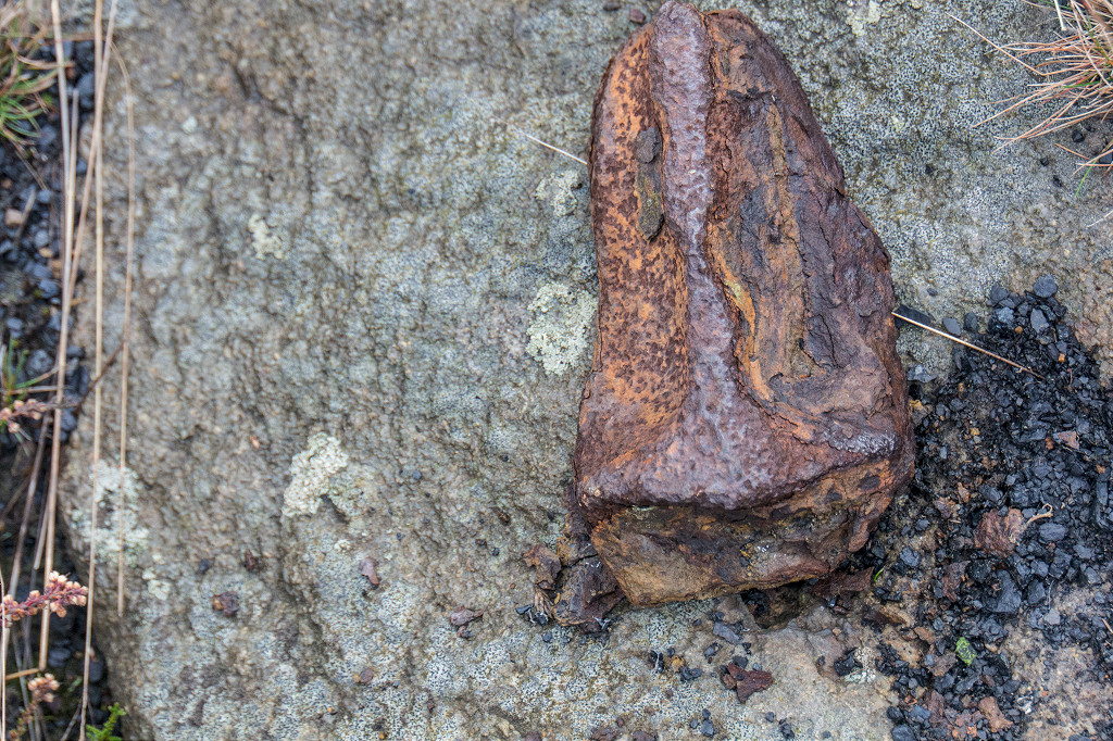 Fragment of a tramplate |
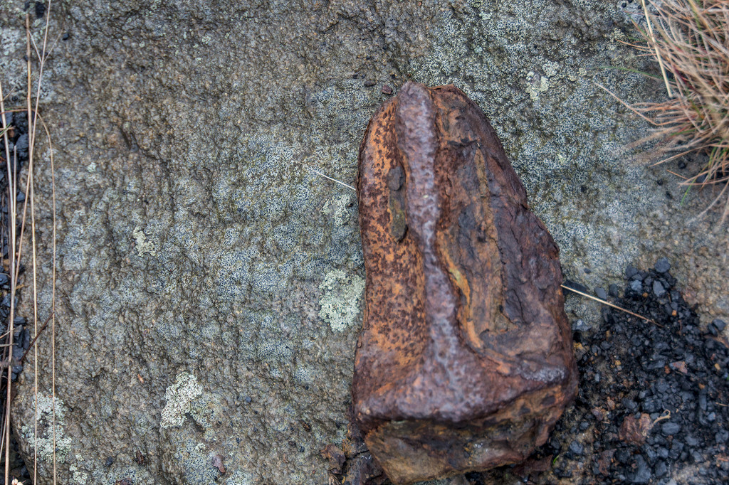 Fragment of a tramplate |
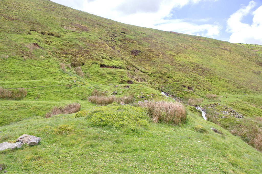
 Waun Pwll Dwr level incline |
 Waun Pwll Dwr level incline |
 Waun Pwll Dwr level incline foot |
 Waun Pwll Dwr level site |
 Small section rail at the level |
 Waun Pwll Dwr feeder |
Industrial WalesCollieries, Ironworks, Quarries, Railways, Canals, Tramroads, Tunnels, Culverts and so much more....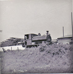
|
Brickworks of WalesBricks are 'History with a label' so here's the story of the Brickworks of Wales - photos, maps and the products themselves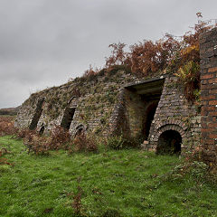
|
Around the WorldMy travels around the UK and the Whole Wide World in search of industries, railways, trams and mines to name a few.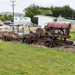
|
Boundary Stones and MilepostsBoundary Stones, Mileposts and other markers in simple alphabetical order of their initials, name or site.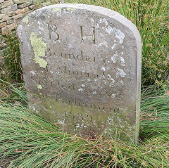
|
Ships and ShippingShips around the World in simple alphabetical order of their name (or apparent area if I can't read the name).
|
The Site Map and IndexA full list of all the pages of the whole website in just one place, so you should find exactly what you are looking for.
|
About the SiteThe background and technical details about the site, plus a contact page and links to other sites - and a warning !!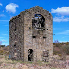
|
Contact MeSomething to add? A great photo? Something wrong? or need to know more about things? Just drop me a line here.
|
Further ReadingYou can find lots of local and other very helpful websites, books, magazines and Facebook groups all listed here.
|